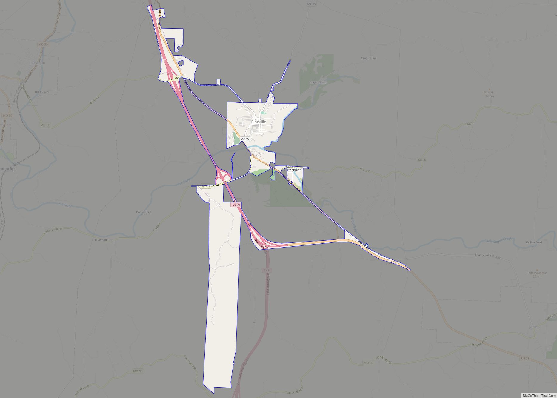
Pineville is a city in and the county seat of McDonald County, Missouri, United States. The population was 791 at the 2010 census.
| Name: | Pineville city |
|---|---|
| LSAD Code: | 25 |
| LSAD Description: | city (suffix) |
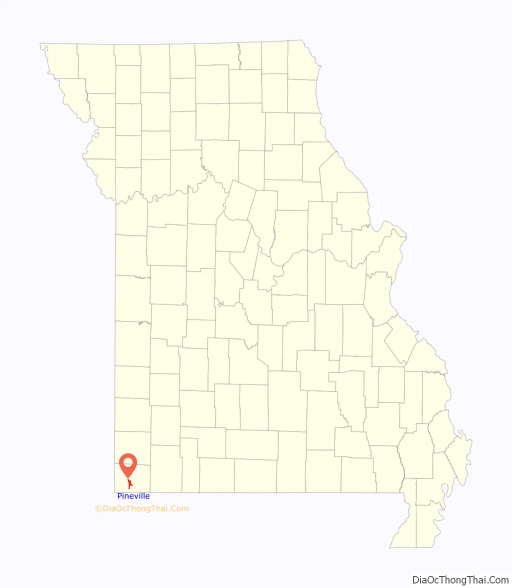
| State: | Missouri |
| County: | McDonald County |
| Elevation: | 899 ft (274 m) |
| Total Area: | 3.29 sq mi (8.53 km²) |
| Land Area: | 3.29 sq mi (8.53 km²) |
| Water Area: | 0.00 sq mi (0.00 km²) |
| Total Population: | 802 |
| Population Density: | 243.62/sq mi (94.06/km²) |
| ZIP code: | 64856 |
| Area code: | 417 |
| FIPS code: | 2957818 |
| Website: | pinevillemo.us |
Online Interactive Map
Click on ![]() to view map in "full screen" mode.
to view map in "full screen" mode.
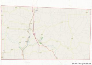
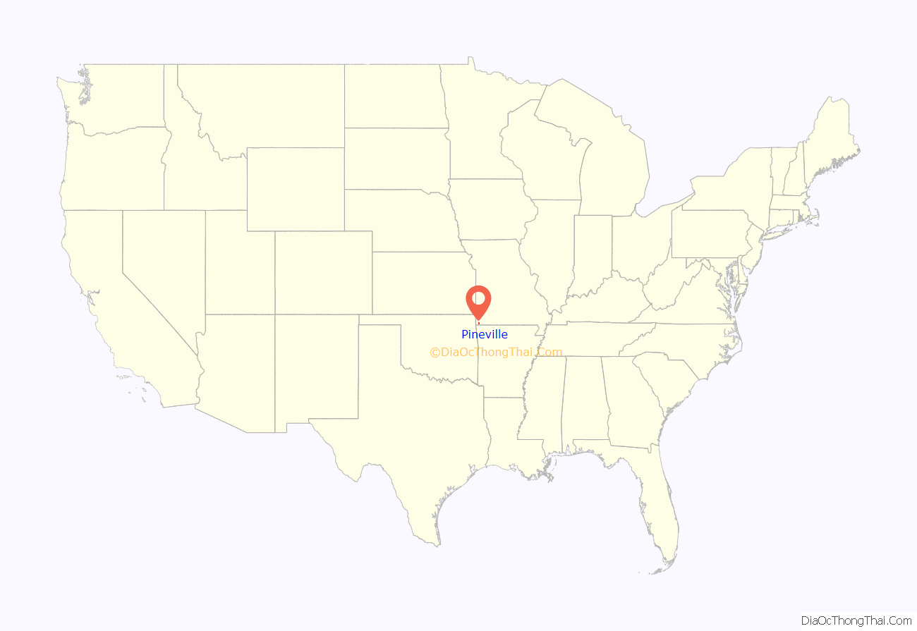
Pineville location map. Where is Pineville city?
History
Pineville was originally named Maryville, and under the latter name was laid out in 1847. The name was changed to Pineville in 1849 since another community already had the name of Maryville. Some say that the community of Pineville, Missouri was named for a grove of pine trees at the original town site, while others believe the name is a transfer from Pineville, Kentucky.
On August 17, 1897, Pineville was the site of a bank robbery which was one of the few at that time that involved a woman as an active participant in the actual robbery. Cora Hubbard, who was 20 at the time, John Sheets, a 23-year-old from Missouri, and 31-year-old Albert Whitfield “Whit” Tennison robbed the Mcdonald County Bank stealing a total of $589.23 (the equivalent of $15,700 in 2009 on the Consumer Price Index scale). All three were soon captured and imprisoned.
Jesse James (1939) was almost entirely filmed in Pineville. The sequel Belle Starr (1941) was also filmed here.
The county’s historic Old McDonald County Courthouse, which is operated as a museum by the McDonald County Historical Society, was named to the National Register of Historic Places on May 1, 2012.
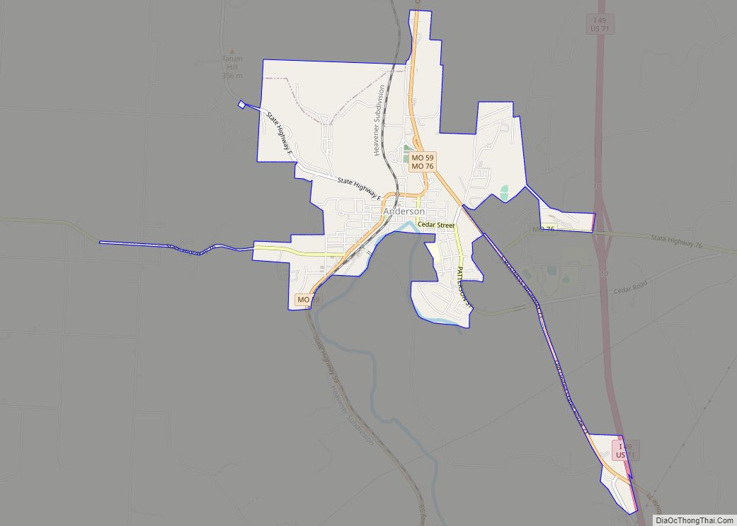
Pineville Road Map
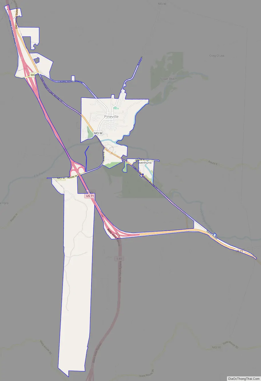
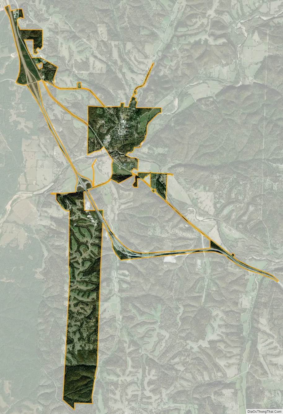
Pineville city Satellite Map
Geography
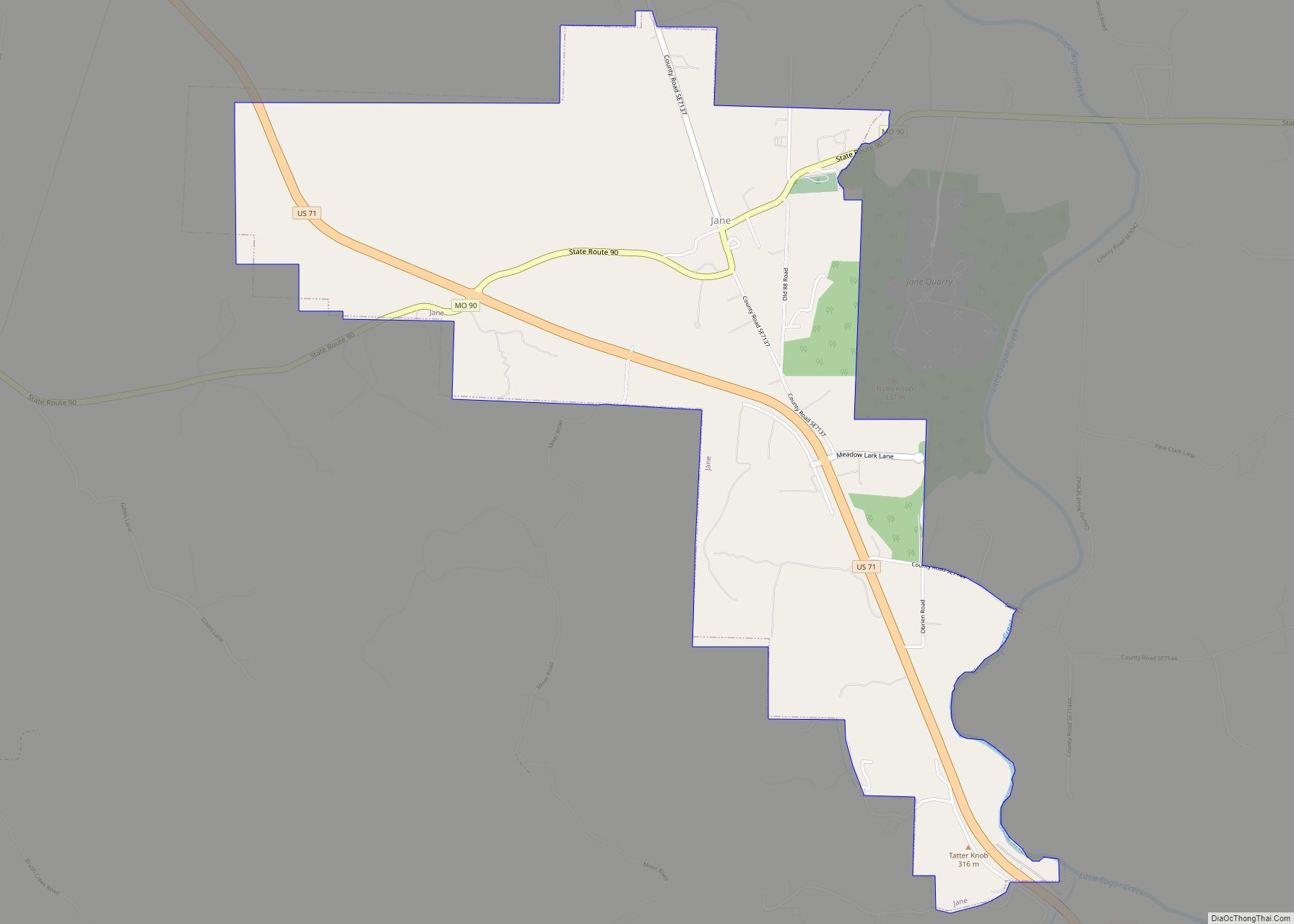
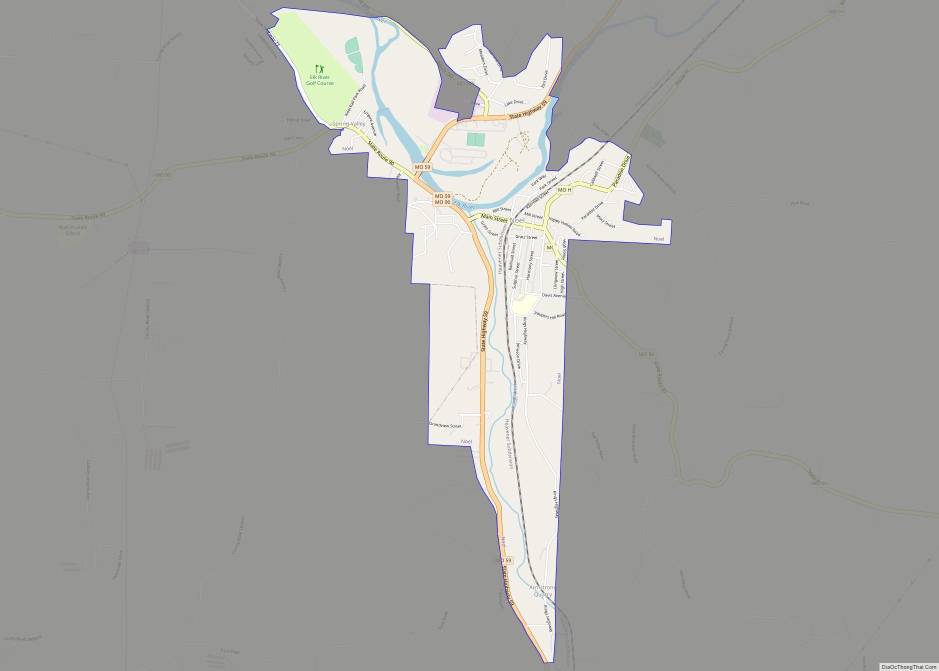
Pineville is located just north of the confluence of Big and Little Sugar Creeks, which forms the Elk River. Noel lies approximately six miles to the southwest, downstream on the Elk River and Anderson lies about six miles to the northwest, along U.S. Route 71.
According to the United States Census Bureau, the city has a total area of 3.11 square miles (8.05 km), all land.
See also
Map of Missouri State and its subdivision:- Adair
- Andrew
- Atchison
- Audrain
- Barry
- Barton
- Bates
- Benton
- Bollinger
- Boone
- Buchanan
- Butler
- Caldwell
- Callaway
- Camden
- Cape Girardeau
- Carroll
- Carter
- Cass
- Cedar
- Chariton
- Christian
- Clark
- Clay
- Clinton
- Cole
- Cooper
- Crawford
- Dade
- Dallas
- Daviess
- De Kalb
- Dent
- Douglas
- Dunklin
- Franklin
- Gasconade
- Gentry
- Greene
- Grundy
- Harrison
- Henry
- Hickory
- Holt
- Howard
- Howell
- Iron
- Jackson
- Jasper
- Jefferson
- Johnson
- Knox
- Laclede
- Lafayette
- Lawrence
- Lewis
- Lincoln
- Linn
- Livingston
- Macon
- Madison
- Maries
- Marion
- McDonald
- Mercer
- Miller
- Mississippi
- Moniteau
- Monroe
- Montgomery
- Morgan
- New Madrid
- Newton
- Nodaway
- Oregon
- Osage
- Ozark
- Pemiscot
- Perry
- Pettis
- Phelps
- Pike
- Platte
- Polk
- Pulaski
- Putnam
- Ralls
- Randolph
- Ray
- Reynolds
- Ripley
- Saint Charles
- Saint Clair
- Saint Francois
- Saint Louis
- Sainte Genevieve
- Saline
- Schuyler
- Scotland
- Scott
- Shannon
- Shelby
- Stoddard
- Stone
- Sullivan
- Taney
- Texas
- Vernon
- Warren
- Washington
- Wayne
- Webster
- Worth
- Wright
- Alabama
- Alaska
- Arizona
- Arkansas
- California
- Colorado
- Connecticut
- Delaware
- District of Columbia
- Florida
- Georgia
- Hawaii
- Idaho
- Illinois
- Indiana
- Iowa
- Kansas
- Kentucky
- Louisiana
- Maine
- Maryland
- Massachusetts
- Michigan
- Minnesota
- Mississippi
- Missouri
- Montana
- Nebraska
- Nevada
- New Hampshire
- New Jersey
- New Mexico
- New York
- North Carolina
- North Dakota
- Ohio
- Oklahoma
- Oregon
- Pennsylvania
- Rhode Island
- South Carolina
- South Dakota
- Tennessee
- Texas
- Utah
- Vermont
- Virginia
- Washington
- West Virginia
- Wisconsin
- Wyoming