Republic is a city in Christian and Greene counties in the U.S. state of Missouri. As of the 2020 census, the city’s population was 18,750. In 2019, its population was 16,938, making it the second largest city in Greene County in the U.S. state of Missouri. It is part of the Springfield, Missouri, Metropolitan Statistical Area.
| Name: | Republic city |
|---|---|
| LSAD Code: | 25 |
| LSAD Description: | city (suffix) |
| State: | Missouri |
| County: | Christian County, Greene County |
| Incorporated: | 1871 |
| Elevation: | 1,309 ft (399 m) |
| Total Area: | 15.99 sq mi (41.40 km²) |
| Land Area: | 15.99 sq mi (41.40 km²) |
| Water Area: | 0.00 sq mi (0.00 km²) |
| Total Population: | 18,750 |
| Population Density: | 1,172.90/sq mi (452.86/km²) |
| ZIP code: | 65738 |
| Area code: | 417 |
| FIPS code: | 2961238 |
| GNISfeature ID: | 0725224 |
| Website: | republicmo.com |
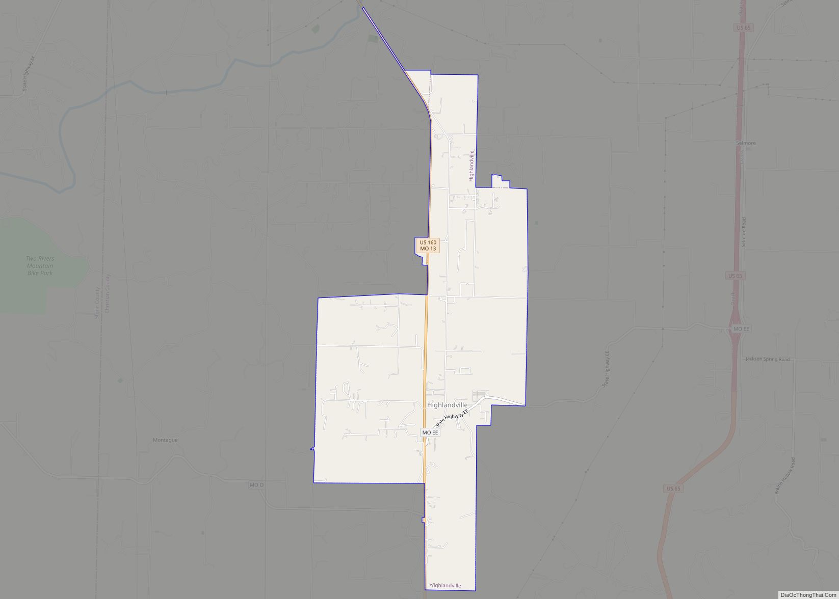
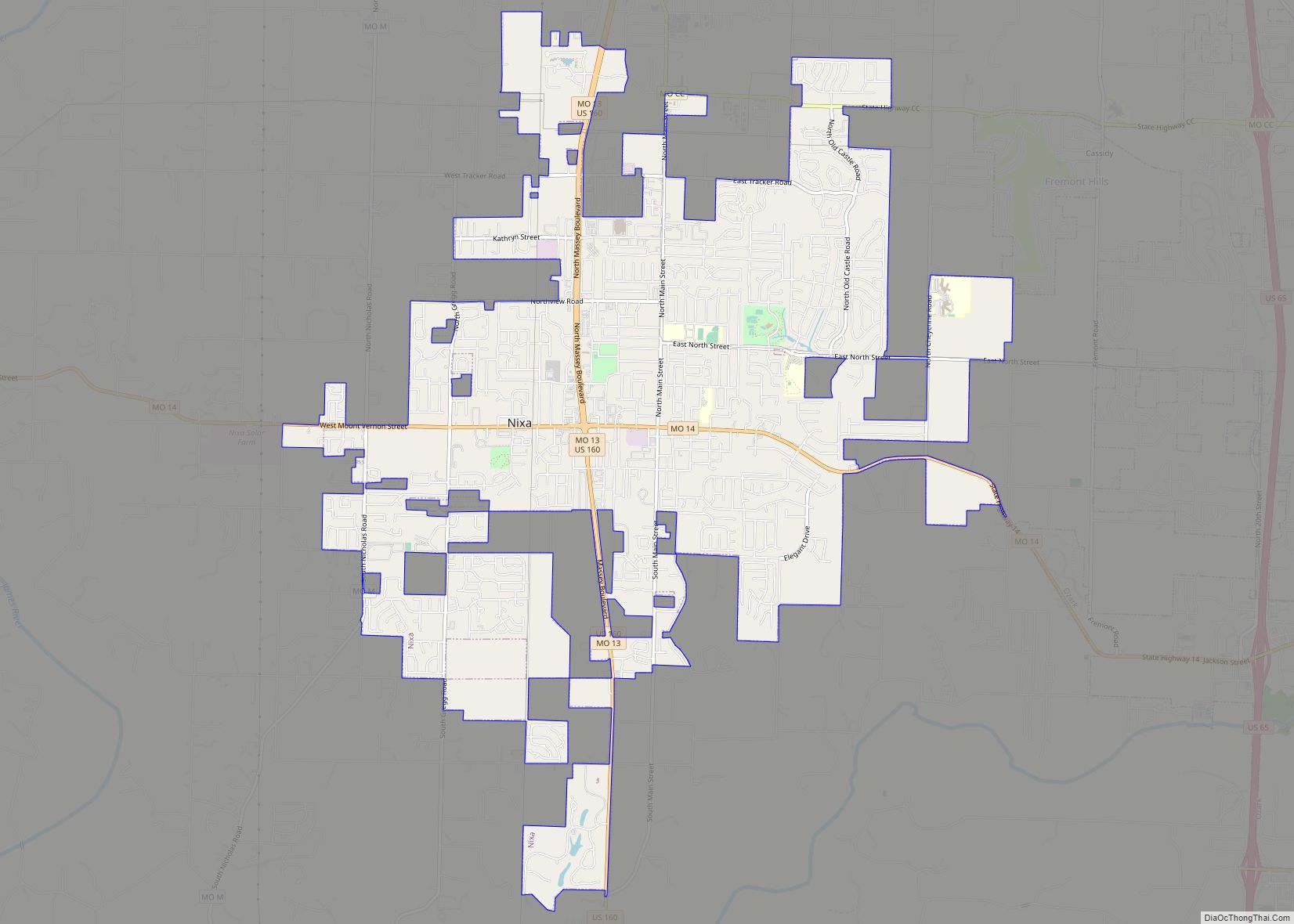
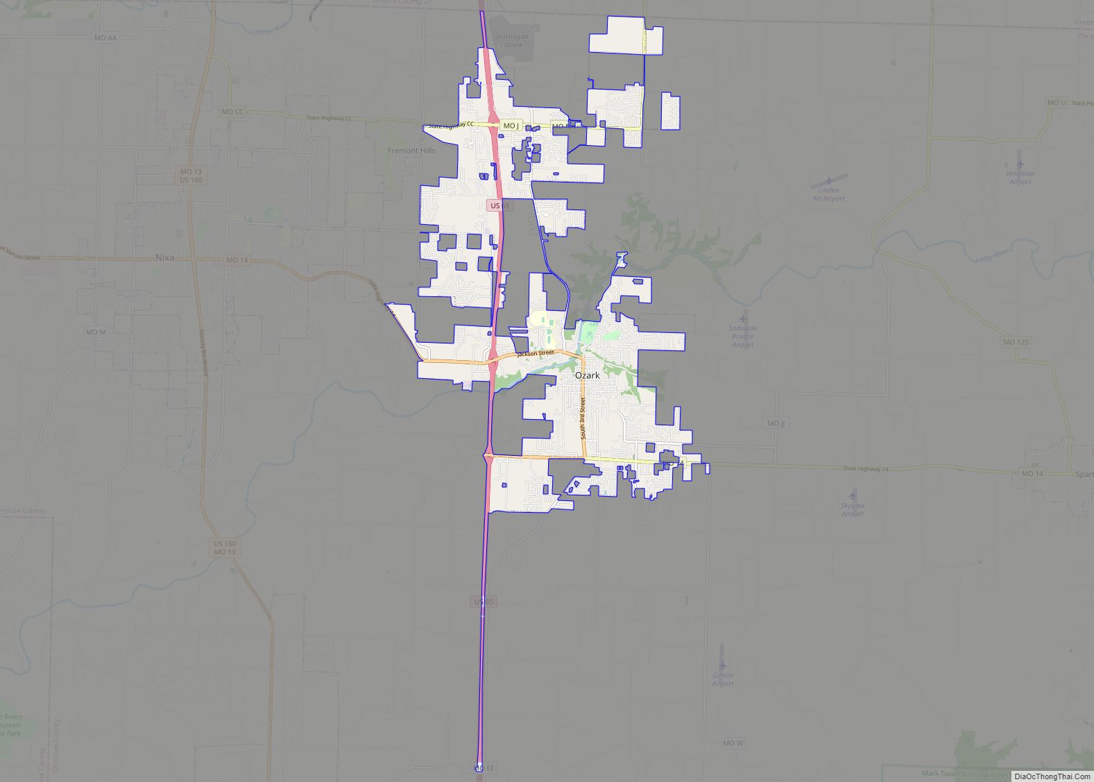
Online Interactive Map
Click on ![]() to view map in "full screen" mode.
to view map in "full screen" mode.
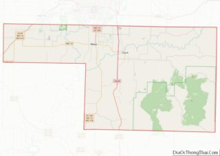
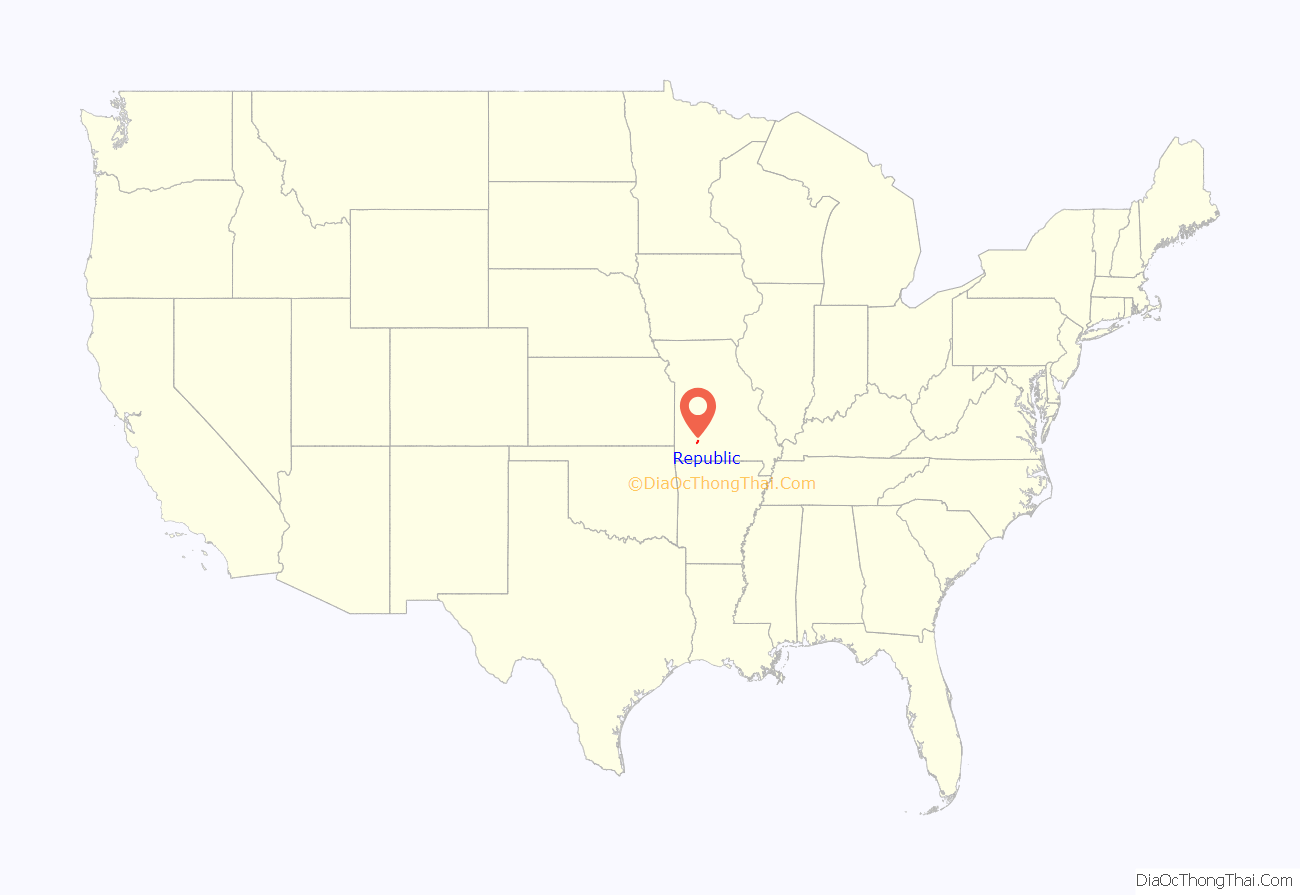
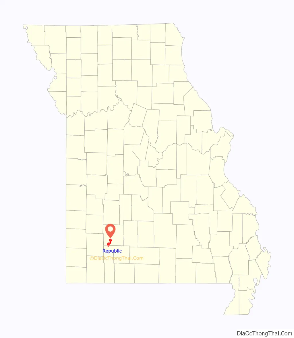
Republic location map. Where is Republic city?
History
Early settlement in southwest Greene County centered on the community of Little York. When the Atlantic & Pacific Railroad built a line through the area in the early 1870s, Little York was not on the route. Settlement moved two miles away to Brookline which was on the rail line’s route.
Another group of settlers decided to take up residency at another area along the tracks just four miles southwest of Brookline. This village eventually became known as Republic, and was incorporated in 1871 While the railroad did go through Republic, there initially was no switch or depot located in the city. A public subscription of $1000 raised the funds to build a depot in the city. Subsequent growth is attributed to the depot’s completion.
Consolidation with Village of Brookline
In 2005, the cities of Republic and Brookline consolidated as Missouri State laws allow after a vote of the residents of both communities approved the consolidation with Republic taking over all aspects of city government. Originally, Brookline was to retain its own identity, but the city limit signs have since been changed to Republic’s. However, according to Section I (b) of the Intergovernmental Agreement:
While the Village of Brookline no longer exists as an independent, incorporated community, the post office and associated ZIP Code of 65619 remain in operation. In addition, BNSF Railway continues to designate Brookline as a station point on its network map and system timetables.
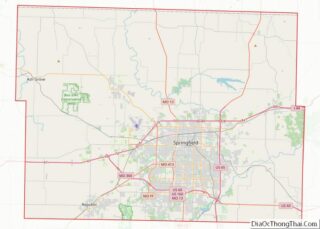
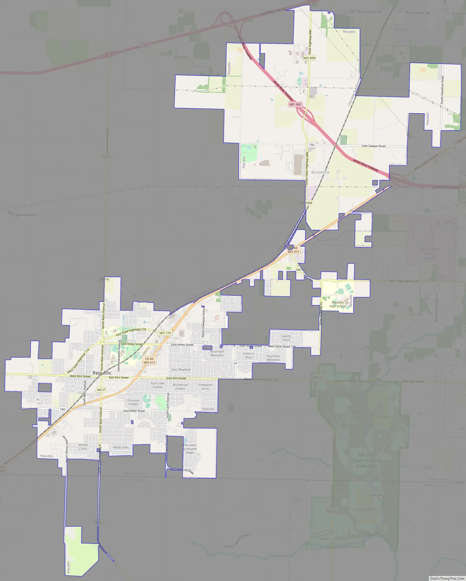
Republic Road Map
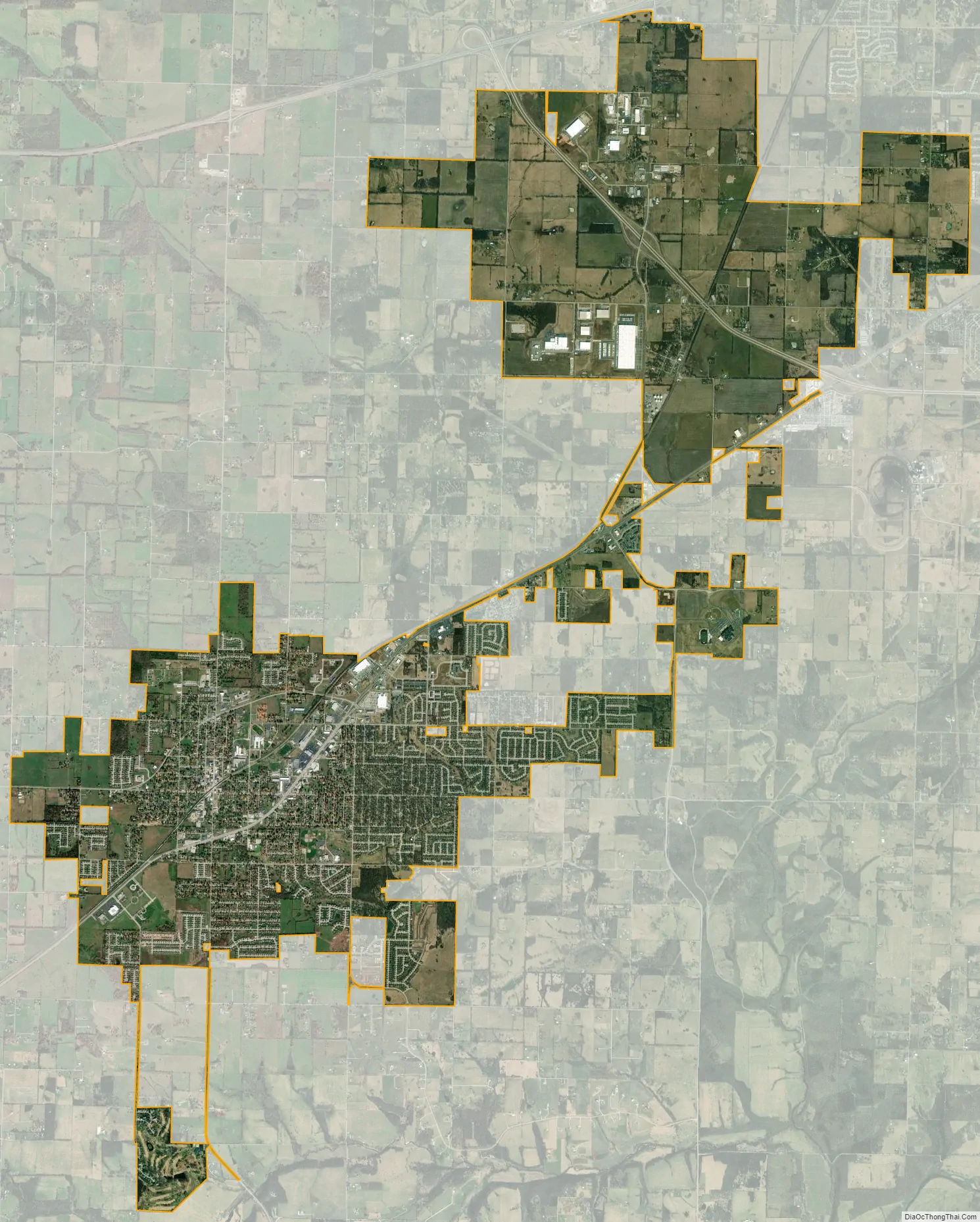
Republic city Satellite Map
Geography
Republic is located at 37°7′18″N 94°28′17″W / 37.12167°N 94.47139°W / 37.12167; -94.47139 (37.121652, -93.471440). According to the United States Census Bureau, the city has a total area of 13.31 square miles (34.47 km), of which 13.30 square miles (34.45 km) is land and 0.01 square miles (0.03 km) is water. Most of the city lies in Greene County, and the other is in Christian County.
See also
Map of Missouri State and its subdivision:- Adair
- Andrew
- Atchison
- Audrain
- Barry
- Barton
- Bates
- Benton
- Bollinger
- Boone
- Buchanan
- Butler
- Caldwell
- Callaway
- Camden
- Cape Girardeau
- Carroll
- Carter
- Cass
- Cedar
- Chariton
- Christian
- Clark
- Clay
- Clinton
- Cole
- Cooper
- Crawford
- Dade
- Dallas
- Daviess
- De Kalb
- Dent
- Douglas
- Dunklin
- Franklin
- Gasconade
- Gentry
- Greene
- Grundy
- Harrison
- Henry
- Hickory
- Holt
- Howard
- Howell
- Iron
- Jackson
- Jasper
- Jefferson
- Johnson
- Knox
- Laclede
- Lafayette
- Lawrence
- Lewis
- Lincoln
- Linn
- Livingston
- Macon
- Madison
- Maries
- Marion
- McDonald
- Mercer
- Miller
- Mississippi
- Moniteau
- Monroe
- Montgomery
- Morgan
- New Madrid
- Newton
- Nodaway
- Oregon
- Osage
- Ozark
- Pemiscot
- Perry
- Pettis
- Phelps
- Pike
- Platte
- Polk
- Pulaski
- Putnam
- Ralls
- Randolph
- Ray
- Reynolds
- Ripley
- Saint Charles
- Saint Clair
- Saint Francois
- Saint Louis
- Sainte Genevieve
- Saline
- Schuyler
- Scotland
- Scott
- Shannon
- Shelby
- Stoddard
- Stone
- Sullivan
- Taney
- Texas
- Vernon
- Warren
- Washington
- Wayne
- Webster
- Worth
- Wright
- Alabama
- Alaska
- Arizona
- Arkansas
- California
- Colorado
- Connecticut
- Delaware
- District of Columbia
- Florida
- Georgia
- Hawaii
- Idaho
- Illinois
- Indiana
- Iowa
- Kansas
- Kentucky
- Louisiana
- Maine
- Maryland
- Massachusetts
- Michigan
- Minnesota
- Mississippi
- Missouri
- Montana
- Nebraska
- Nevada
- New Hampshire
- New Jersey
- New Mexico
- New York
- North Carolina
- North Dakota
- Ohio
- Oklahoma
- Oregon
- Pennsylvania
- Rhode Island
- South Carolina
- South Dakota
- Tennessee
- Texas
- Utah
- Vermont
- Virginia
- Washington
- West Virginia
- Wisconsin
- Wyoming