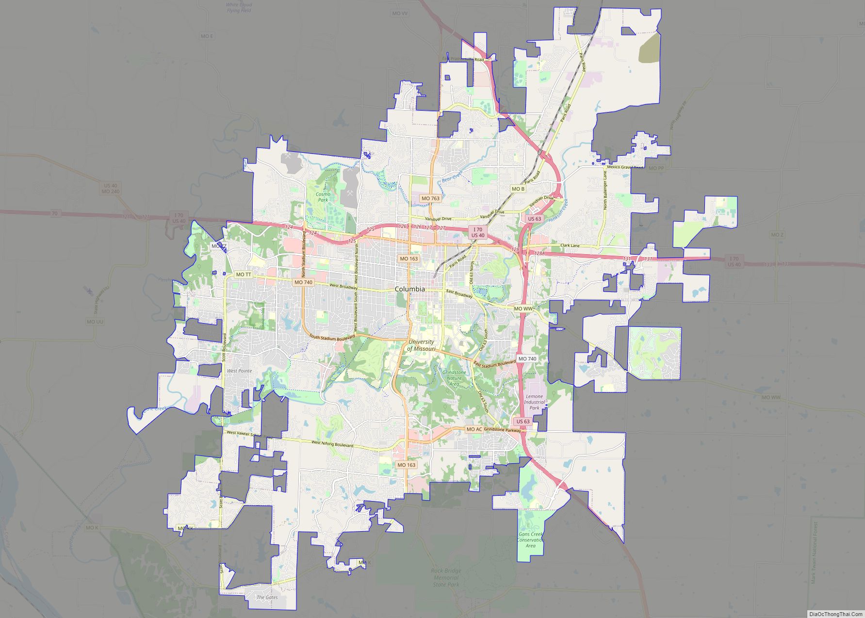
Rocheport is a city in Boone County, Missouri, United States. It is part of the Columbia, Missouri Metropolitan Statistical Area. The population was 239 at the 2010 census. Rocheport includes the Rocheport Historic District, an area with buildings dating from 1830 and which is listed on the National Register of Historic Places.
| Name: | Rocheport city |
|---|---|
| LSAD Code: | 25 |
| LSAD Description: | city (suffix) |
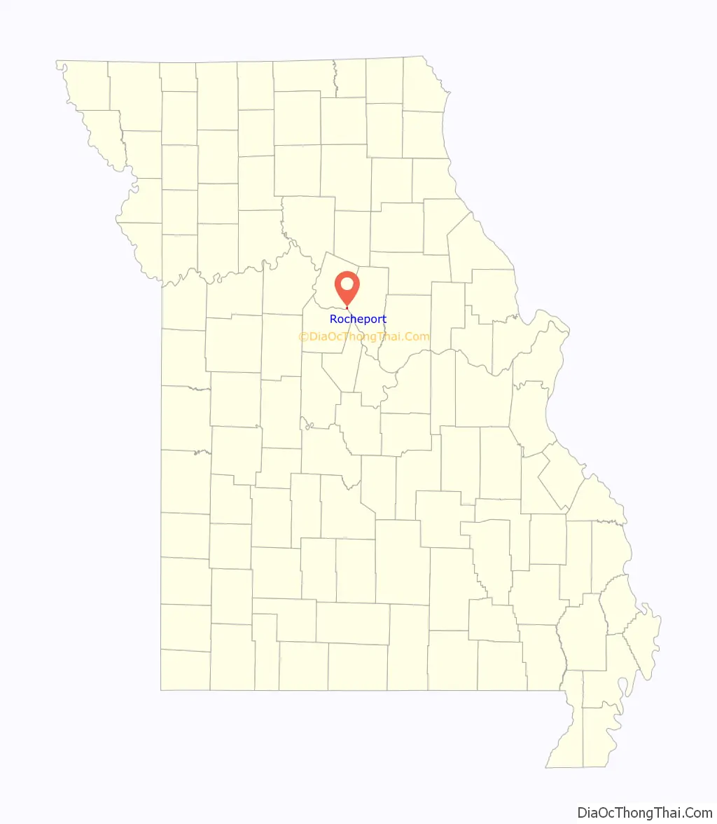
| State: | Missouri |
| County: | Boone County |
| Elevation: | 594 ft (181 m) |
| Total Area: | 0.32 sq mi (0.82 km²) |
| Land Area: | 0.32 sq mi (0.82 km²) |
| Water Area: | 0.00 sq mi (0.00 km²) |
| Total Population: | 201 |
| Population Density: | 634.07/sq mi (244.93/km²) |
| ZIP code: | 65279 |
| Area code: | 573 |
| FIPS code: | 2962498 |
| GNISfeature ID: | 2396393 |
| Website: | https://rocheport.com/ |
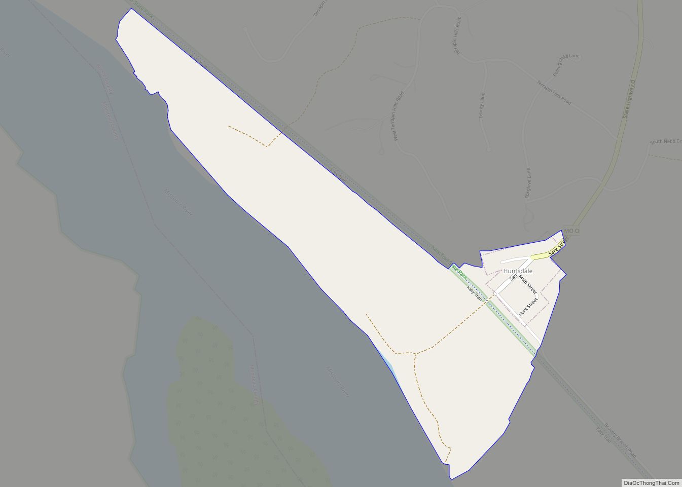
Online Interactive Map
Click on ![]() to view map in "full screen" mode.
to view map in "full screen" mode.
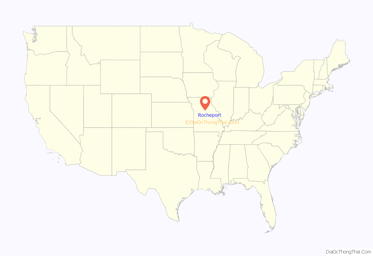
Rocheport location map. Where is Rocheport city?
History
Rocheport was a trading post for both settlers and Native Americans. After the purchase of the Louisiana Territory in 1803, President Thomas Jefferson commissioned Meriwether Lewis and William Clark to lead an expedition to explore the western territories. On June 7, 1804, their journey led them to the convergence of the Missouri River and Moniteau Creek near the future settlement of Rocheport. Clark noted the features of the land, flora, fauna and native pictographs on the bluffs in his journal. The Sauk leader Quashquame led a village of Sauk, Meskwaki, and Ioway near Rocheport, along Moniteau Creek in the first decade of the 19th century; this village was noted by Zebulon Pike in 1806. Rocheport became a permanent settlement in the early nineteenth century. Rocheport is a French name meaning “rocky port”.
The Moses U. Payne House is a historic structured located just outside Rocheport.
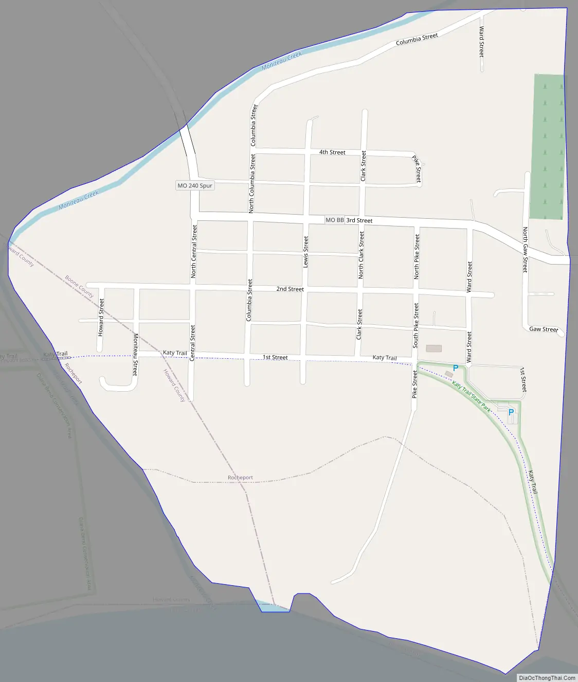
Rocheport Road Map
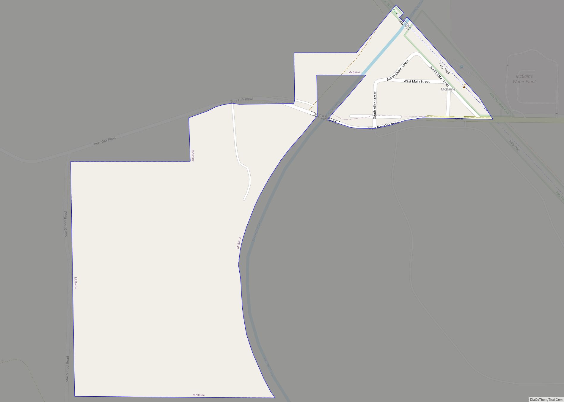
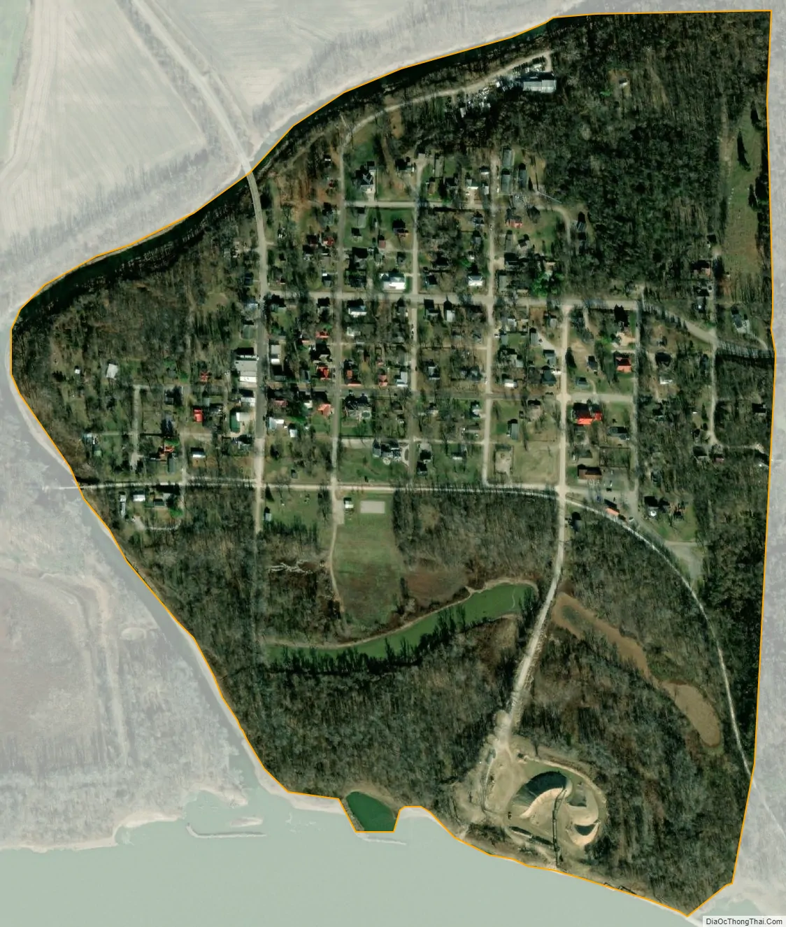
Rocheport city Satellite Map
Geography
According to the United States Census Bureau, the city has a total area of 0.27 square miles (0.70 km), all land.
See also
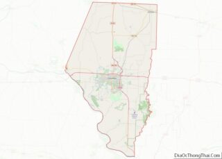
Map of Missouri State and its subdivision:- Adair
- Andrew
- Atchison
- Audrain
- Barry
- Barton
- Bates
- Benton
- Bollinger
- Boone
- Buchanan
- Butler
- Caldwell
- Callaway
- Camden
- Cape Girardeau
- Carroll
- Carter
- Cass
- Cedar
- Chariton
- Christian
- Clark
- Clay
- Clinton
- Cole
- Cooper
- Crawford
- Dade
- Dallas
- Daviess
- De Kalb
- Dent
- Douglas
- Dunklin
- Franklin
- Gasconade
- Gentry
- Greene
- Grundy
- Harrison
- Henry
- Hickory
- Holt
- Howard
- Howell
- Iron
- Jackson
- Jasper
- Jefferson
- Johnson
- Knox
- Laclede
- Lafayette
- Lawrence
- Lewis
- Lincoln
- Linn
- Livingston
- Macon
- Madison
- Maries
- Marion
- McDonald
- Mercer
- Miller
- Mississippi
- Moniteau
- Monroe
- Montgomery
- Morgan
- New Madrid
- Newton
- Nodaway
- Oregon
- Osage
- Ozark
- Pemiscot
- Perry
- Pettis
- Phelps
- Pike
- Platte
- Polk
- Pulaski
- Putnam
- Ralls
- Randolph
- Ray
- Reynolds
- Ripley
- Saint Charles
- Saint Clair
- Saint Francois
- Saint Louis
- Sainte Genevieve
- Saline
- Schuyler
- Scotland
- Scott
- Shannon
- Shelby
- Stoddard
- Stone
- Sullivan
- Taney
- Texas
- Vernon
- Warren
- Washington
- Wayne
- Webster
- Worth
- Wright
- Alabama
- Alaska
- Arizona
- Arkansas
- California
- Colorado
- Connecticut
- Delaware
- District of Columbia
- Florida
- Georgia
- Hawaii
- Idaho
- Illinois
- Indiana
- Iowa
- Kansas
- Kentucky
- Louisiana
- Maine
- Maryland
- Massachusetts
- Michigan
- Minnesota
- Mississippi
- Missouri
- Montana
- Nebraska
- Nevada
- New Hampshire
- New Jersey
- New Mexico
- New York
- North Carolina
- North Dakota
- Ohio
- Oklahoma
- Oregon
- Pennsylvania
- Rhode Island
- South Carolina
- South Dakota
- Tennessee
- Texas
- Utah
- Vermont
- Virginia
- Washington
- West Virginia
- Wisconsin
- Wyoming