Rogersville is a city in Greene and Webster counties in the U.S. state of Missouri. The population is 3,897 as of the 2020 census. It is part of the Springfield, Missouri Metropolitan Statistical Area. Rogersville was formally known as the “Raccoon Capital of the World”. In 2006, 417 Magazine ranked Rogersville as the eighth-best place to live in Southwest Missouri.
| Name: | Rogersville city |
|---|---|
| LSAD Code: | 25 |
| LSAD Description: | city (suffix) |
| State: | Missouri |
| County: | Greene County, Webster County |
| Elevation: | 1,460 ft (445 m) |
| Total Area: | 3.75 sq mi (9.70 km²) |
| Land Area: | 3.75 sq mi (9.70 km²) |
| Water Area: | 0.00 sq mi (0.00 km²) |
| Total Population: | 3,897 |
| Population Density: | 1,040.59/sq mi (401.74/km²) |
| ZIP code: | 65742 |
| Area code: | 417 |
| FIPS code: | 2962894 |
| GNISfeature ID: | 0725537 |
| Website: | www.rogersvillemo.org |
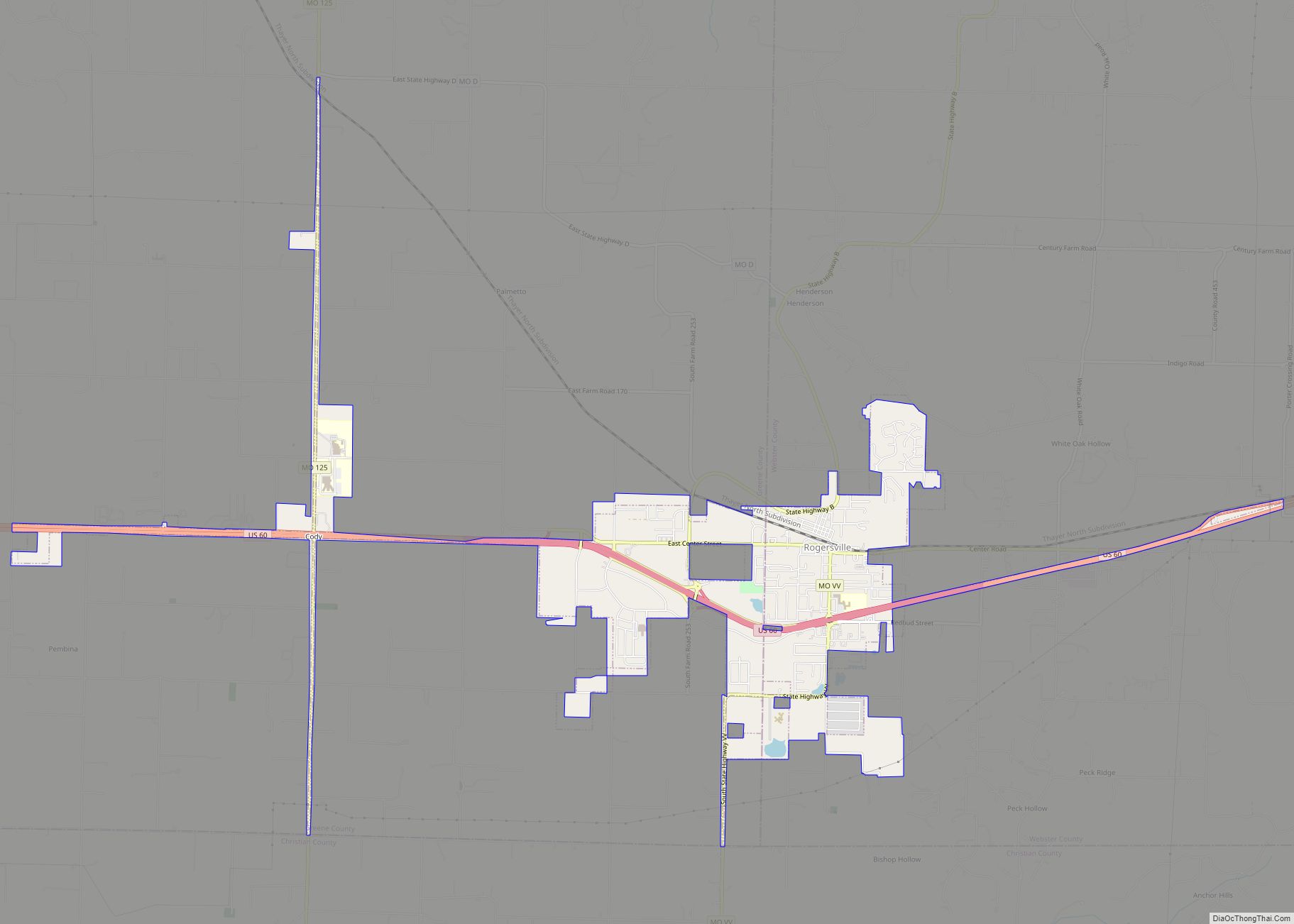
Online Interactive Map
Click on ![]() to view map in "full screen" mode.
to view map in "full screen" mode.
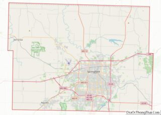
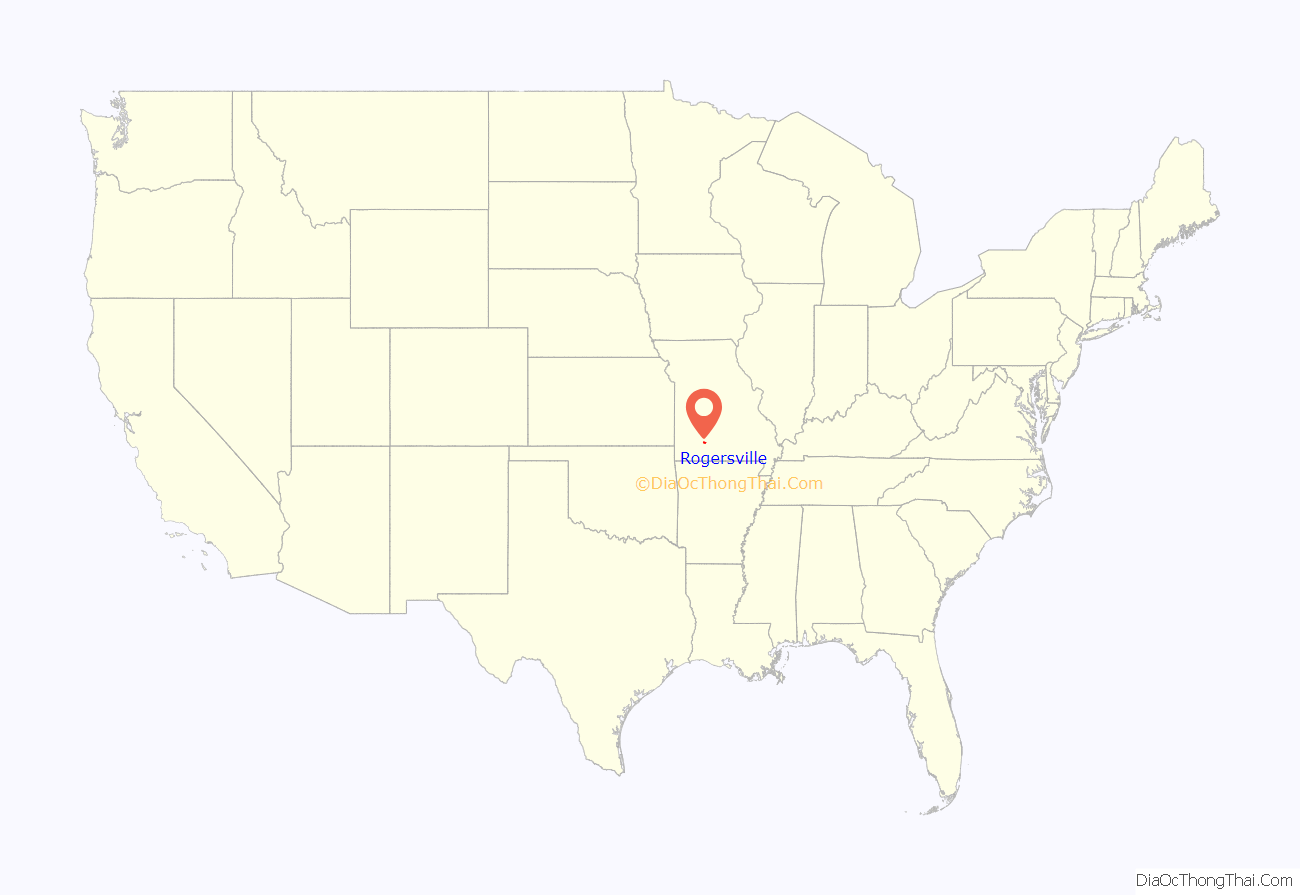
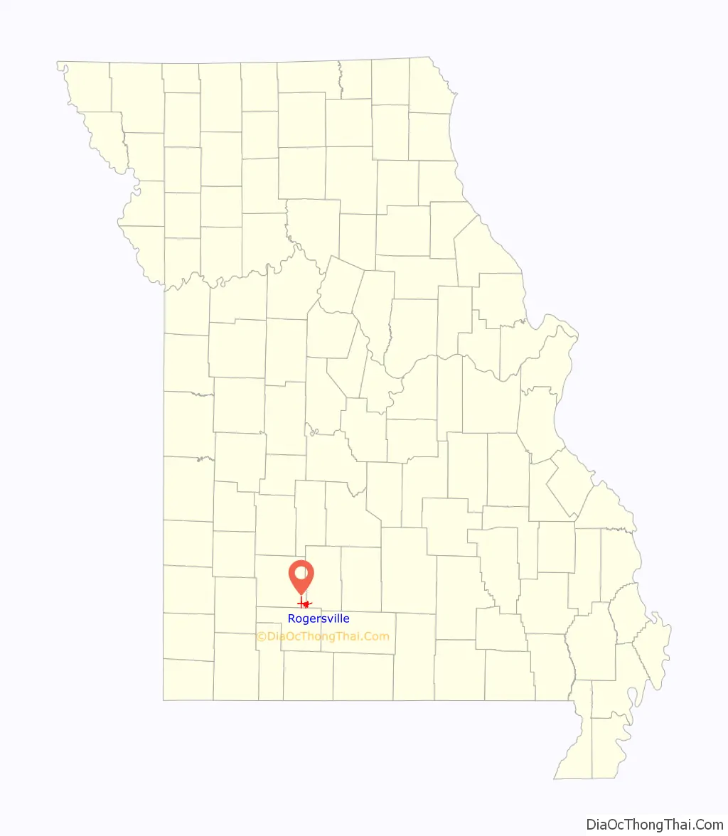
Rogersville location map. Where is Rogersville city?
History
Rogersville was named after Doctor Rogers, a pioneer settler. A post office called Rogersville has been in operation since 1882. The Citizens Bank of Rogersville was formed as a corporation on December 15, 1908, with $10,000 in capital stock.
The history of Rogersville has been documented by the Citizens Bank of Rogersville and is shown below.
There is, however, the Logan Cemetery about a half mile west of the Logan Elementary School on Farm Road 219 and also the old Crossroad Store at the intersection of Farm Roads 164 and 219. This area is generally known as Logan.
Around late 1929 or early 1930, the Bank of Rogersville was robbed by two men who stole $981. About a dozen men rode out to chase the robbers, one of which was shot and the other was captured. The trial was held in the Rogersville High School gym for the captured robber, and he was sentenced to jail.
In 1957, a fire was discovered in a vacant building in Rogersville on a Saturday night around 10:30 p.m., which burned out of control due to Rogersville having no fire-fighting equipment or a city water supply. Calls for aid were sent out to surrounding communities including the Fordland Air Force Station, the Seymour Volunteer Fire Department, the Ozark Rural Fire Department, and the Marshfield Department. Four businesses were destroyed, including a market and a new theater, with damages estimated at $75,000.
In 1992, the Webster County Council on Aging formed a “Senior Services Committee” to address the needs of its senior citizens. In 1993, the committee decided to ask for a 5-cent tax increase to extend services on the August ballot, but the issue failed. In 1994, a forum was held with the assistance of the Southwest Missouri Office on Aging (SMOA) to discuss the possibility of a Rogersville Senior Center. A temporary center was formed in May 1994, and after fundraising events and community donations, the Rogersville Senior Center opened on January 17, 1995.
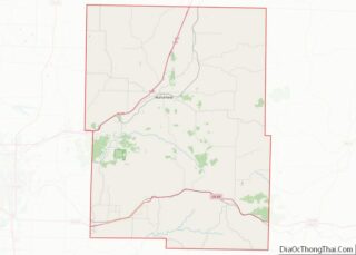
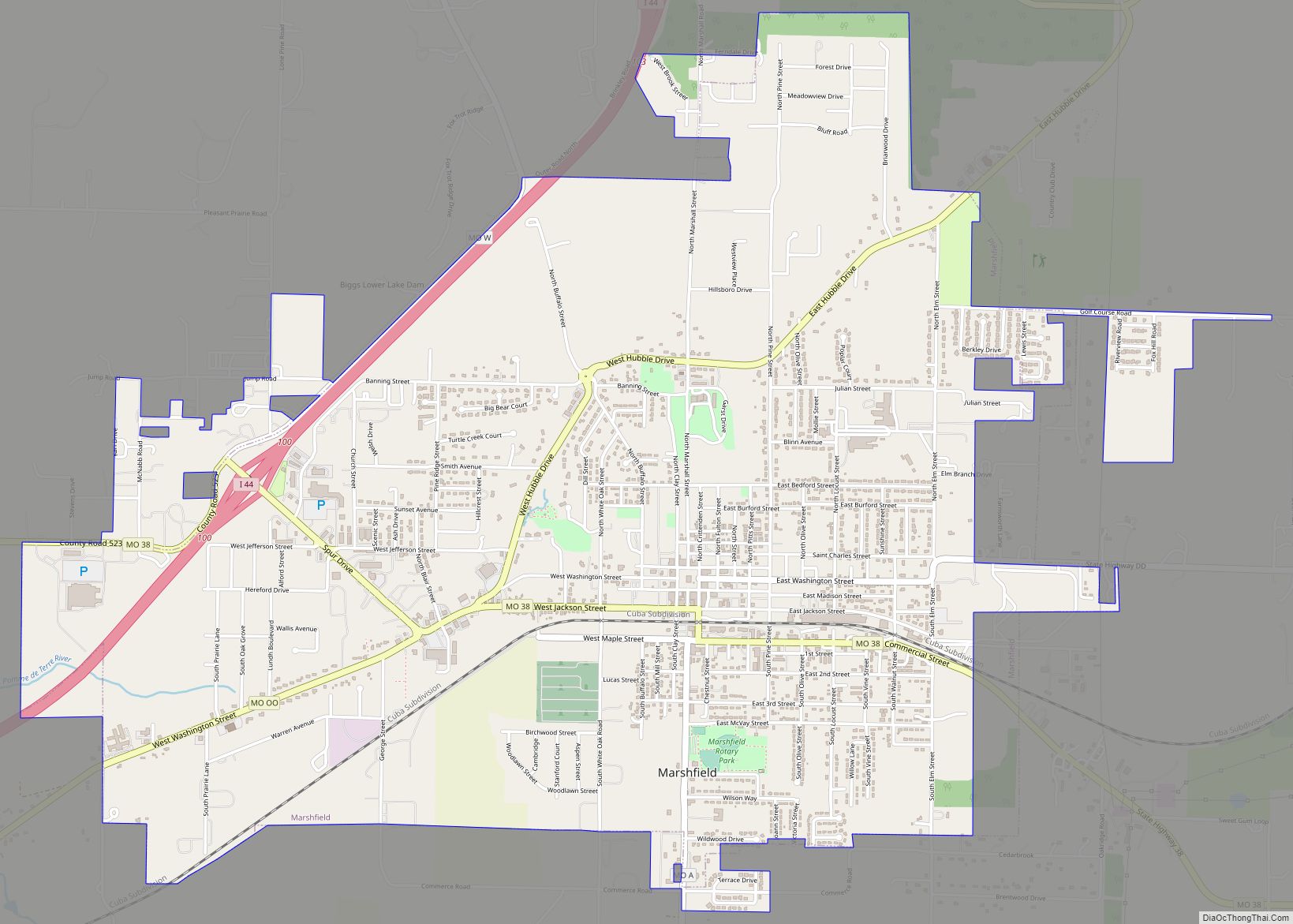
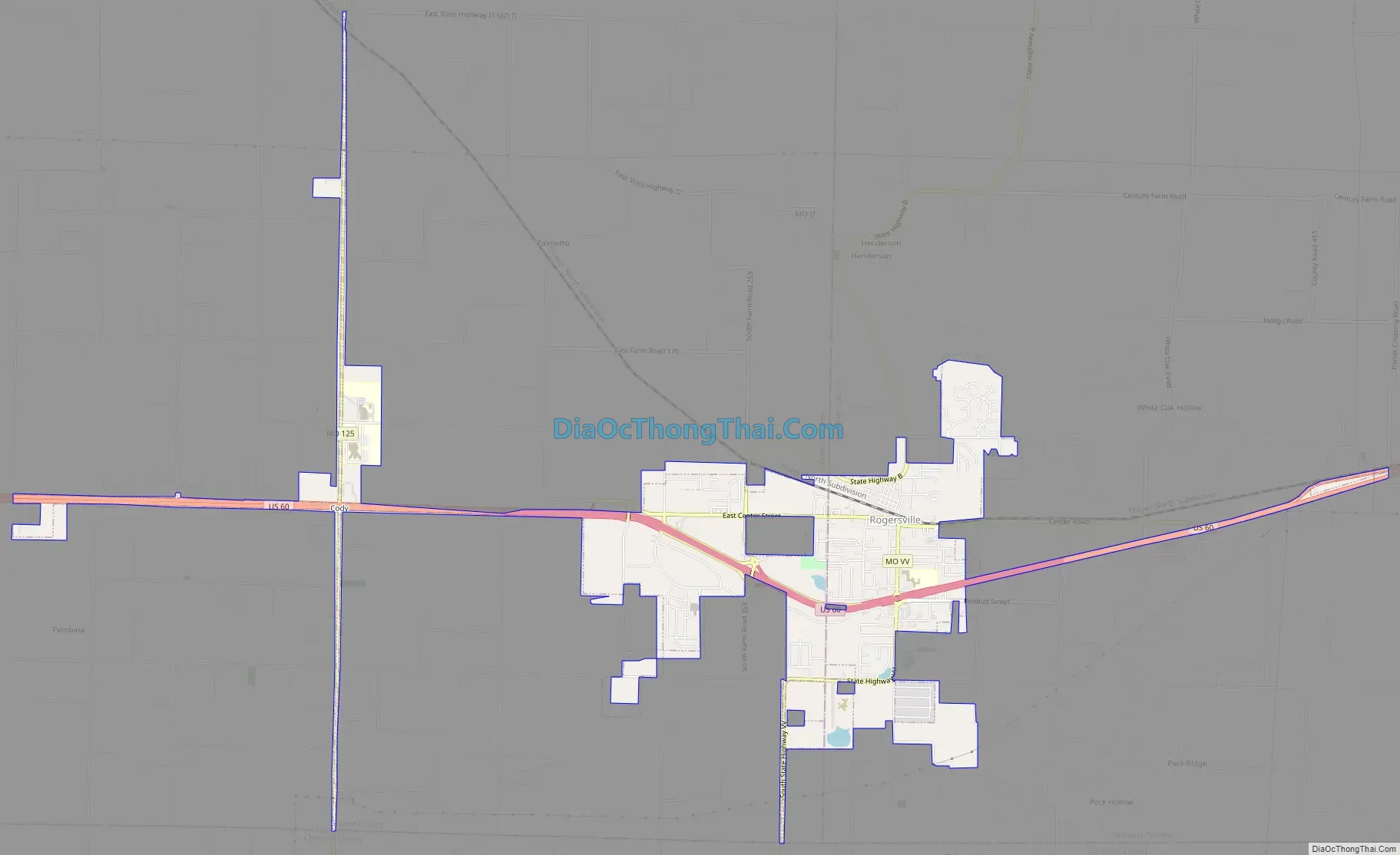
Rogersville Road Map
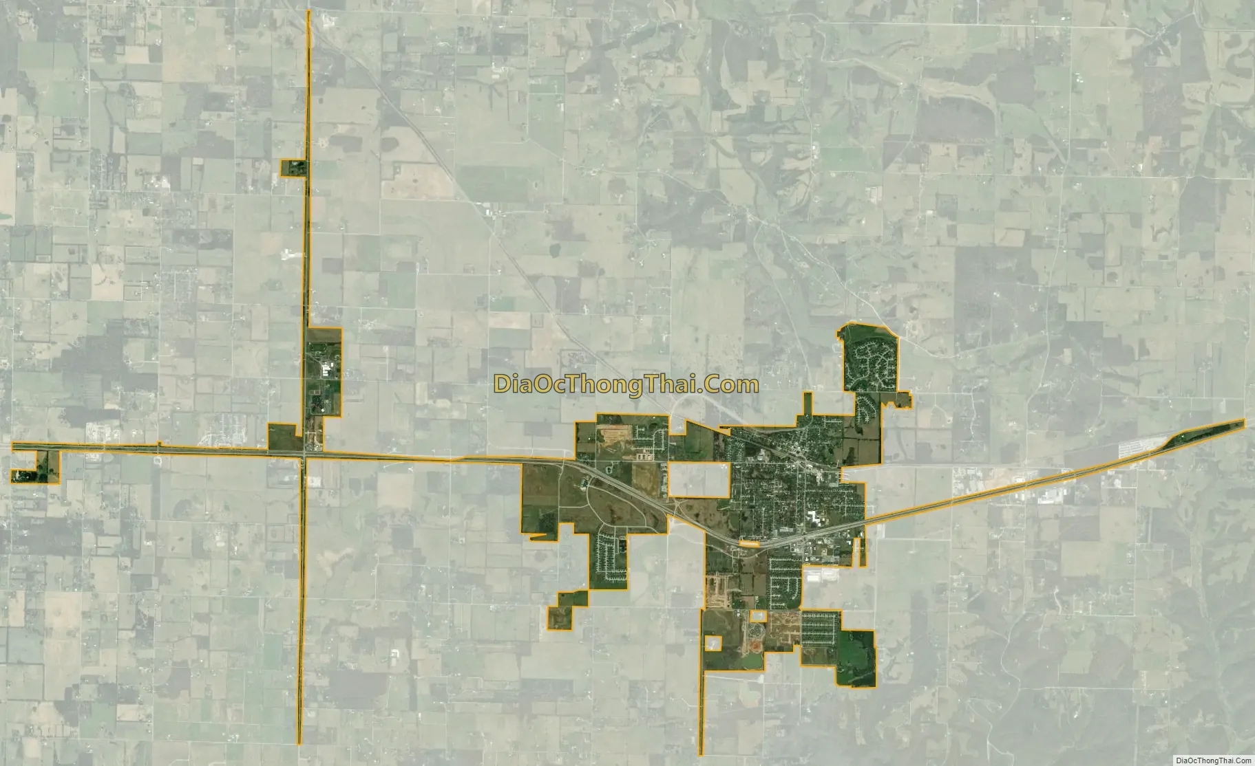
Rogersville city Satellite Map
Geography
According to the United States Census Bureau, the city has a total area of 3.44 square miles (8.91 km), all land.
See also
Map of Missouri State and its subdivision:- Adair
- Andrew
- Atchison
- Audrain
- Barry
- Barton
- Bates
- Benton
- Bollinger
- Boone
- Buchanan
- Butler
- Caldwell
- Callaway
- Camden
- Cape Girardeau
- Carroll
- Carter
- Cass
- Cedar
- Chariton
- Christian
- Clark
- Clay
- Clinton
- Cole
- Cooper
- Crawford
- Dade
- Dallas
- Daviess
- De Kalb
- Dent
- Douglas
- Dunklin
- Franklin
- Gasconade
- Gentry
- Greene
- Grundy
- Harrison
- Henry
- Hickory
- Holt
- Howard
- Howell
- Iron
- Jackson
- Jasper
- Jefferson
- Johnson
- Knox
- Laclede
- Lafayette
- Lawrence
- Lewis
- Lincoln
- Linn
- Livingston
- Macon
- Madison
- Maries
- Marion
- McDonald
- Mercer
- Miller
- Mississippi
- Moniteau
- Monroe
- Montgomery
- Morgan
- New Madrid
- Newton
- Nodaway
- Oregon
- Osage
- Ozark
- Pemiscot
- Perry
- Pettis
- Phelps
- Pike
- Platte
- Polk
- Pulaski
- Putnam
- Ralls
- Randolph
- Ray
- Reynolds
- Ripley
- Saint Charles
- Saint Clair
- Saint Francois
- Saint Louis
- Sainte Genevieve
- Saline
- Schuyler
- Scotland
- Scott
- Shannon
- Shelby
- Stoddard
- Stone
- Sullivan
- Taney
- Texas
- Vernon
- Warren
- Washington
- Wayne
- Webster
- Worth
- Wright
- Alabama
- Alaska
- Arizona
- Arkansas
- California
- Colorado
- Connecticut
- Delaware
- District of Columbia
- Florida
- Georgia
- Hawaii
- Idaho
- Illinois
- Indiana
- Iowa
- Kansas
- Kentucky
- Louisiana
- Maine
- Maryland
- Massachusetts
- Michigan
- Minnesota
- Mississippi
- Missouri
- Montana
- Nebraska
- Nevada
- New Hampshire
- New Jersey
- New Mexico
- New York
- North Carolina
- North Dakota
- Ohio
- Oklahoma
- Oregon
- Pennsylvania
- Rhode Island
- South Carolina
- South Dakota
- Tennessee
- Texas
- Utah
- Vermont
- Virginia
- Washington
- West Virginia
- Wisconsin
- Wyoming