Sturgeon is a city in Boone County, Missouri, United States. It is part of the Columbia, Missouri Metropolitan Statistical Area. The population was 872 at the 2010 census.
| Name: | Sturgeon city |
|---|---|
| LSAD Code: | 25 |
| LSAD Description: | city (suffix) |
| State: | Missouri |
| County: | Boone County |
| Founded: | 1856 |
| Elevation: | 850 ft (260 m) |
| Total Area: | 0.87 sq mi (2.25 km²) |
| Land Area: | 0.87 sq mi (2.25 km²) |
| Water Area: | 0.00 sq mi (0.00 km²) |
| Total Population: | 907 |
| Population Density: | 1,042.53/sq mi (402.46/km²) |
| ZIP code: | 65284 |
| Area code: | 573 |
| FIPS code: | 2971224 |
| GNISfeature ID: | 2395992 |
| Website: | www.sturgeon-mo.org |
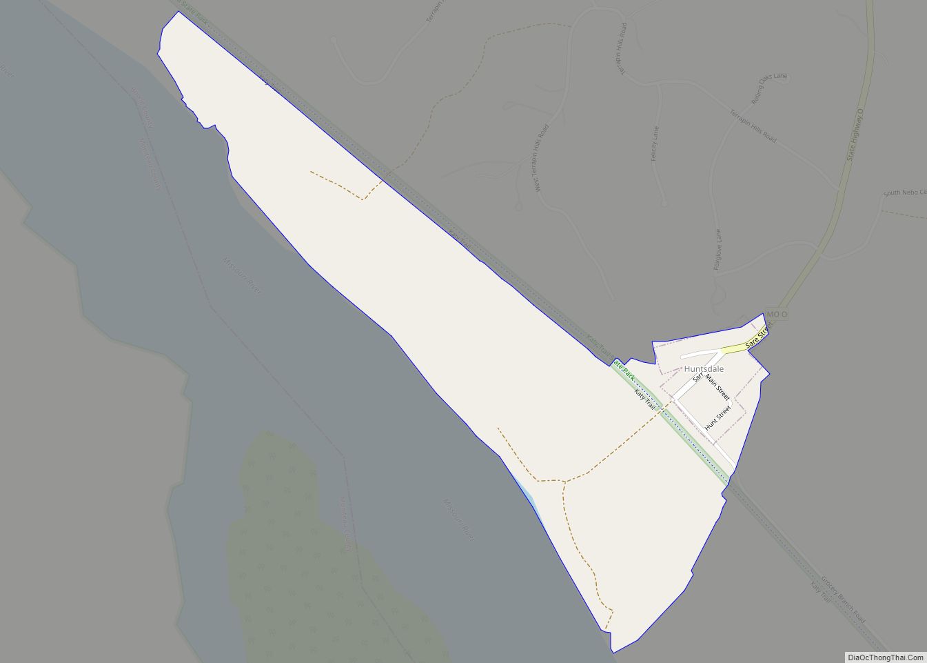
Online Interactive Map
Click on ![]() to view map in "full screen" mode.
to view map in "full screen" mode.
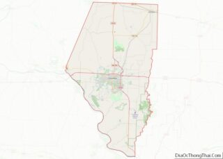
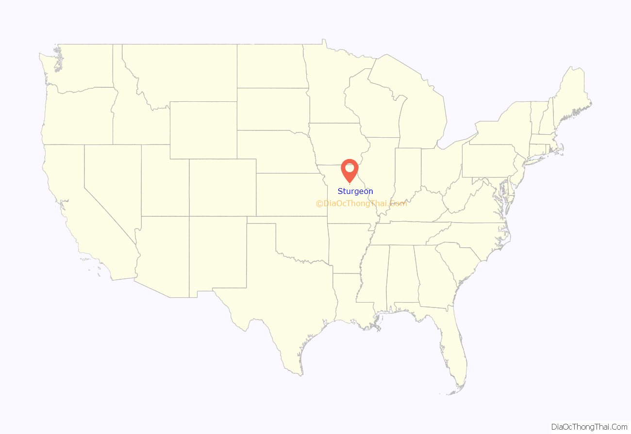
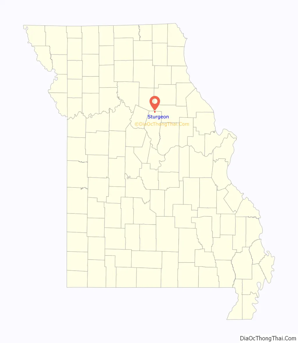
Sturgeon location map. Where is Sturgeon city?
History
Sturgeon was laid out in 1856 very near to and eventually including the town of Prairie City. The town was incorporated in 1859 with Housen Canada as the first mayor and rechartered in 1875. It was named for Isaac H. Sturgeon, superintendent of the North Missouri Railroad. Colonel W. F. Switzler speculated that the depot was considered in Sturgeon because it bore the name of the railroad magnate, but six citizens who paid six thousand dollars finalized the deal. The first school-house was built in 1857, and in 1882 the white and colored schools had 301 students with an average daily attendance of 187. The first church, built in 1859, was the Methodist Episcopal Church South, with the Masonic lodge located above. The first early industry in Sturgeon was the broom factory, established in 1878, of S. A. Fretwell. The brooms were made of broom corn grown in the area, and brushes made of imported jute. In 1882, the factory turned out about 360 brooms daily
In the spring of 1857, a tornado passed over the town and blew down several houses, including a new building of 300 square feet (27.87 m) and three stories tall, purposed for a hotel. The first large fire took place on July 19, 1882. That evening, a fire was discovered in Wood’s Saloon, already bursting through the roof. The butcher’s shop, three saloons, three large livery stable buildings and sheds, and three other buildings were burned. The Sturgeon Savings Bank was saved from fire “by covering the roof with carpet and sprinkling heavily with salt.”
Amish
In the fall of 1953, the first Amish family moved to the land just north of Sturgeon. Now the community has expanded to over sixty families. Most of the Sturgeon Amish adhere closely to their beliefs and are classified as Old Order Amish, meaning they follow a very conservative Ordnung: self-sufficiency, charity, and individualism are very important. The community in Sturgeon and Clark operate many successful home businesses, selling sorghum, eggs, chicken, peanut brittle and produce in season.
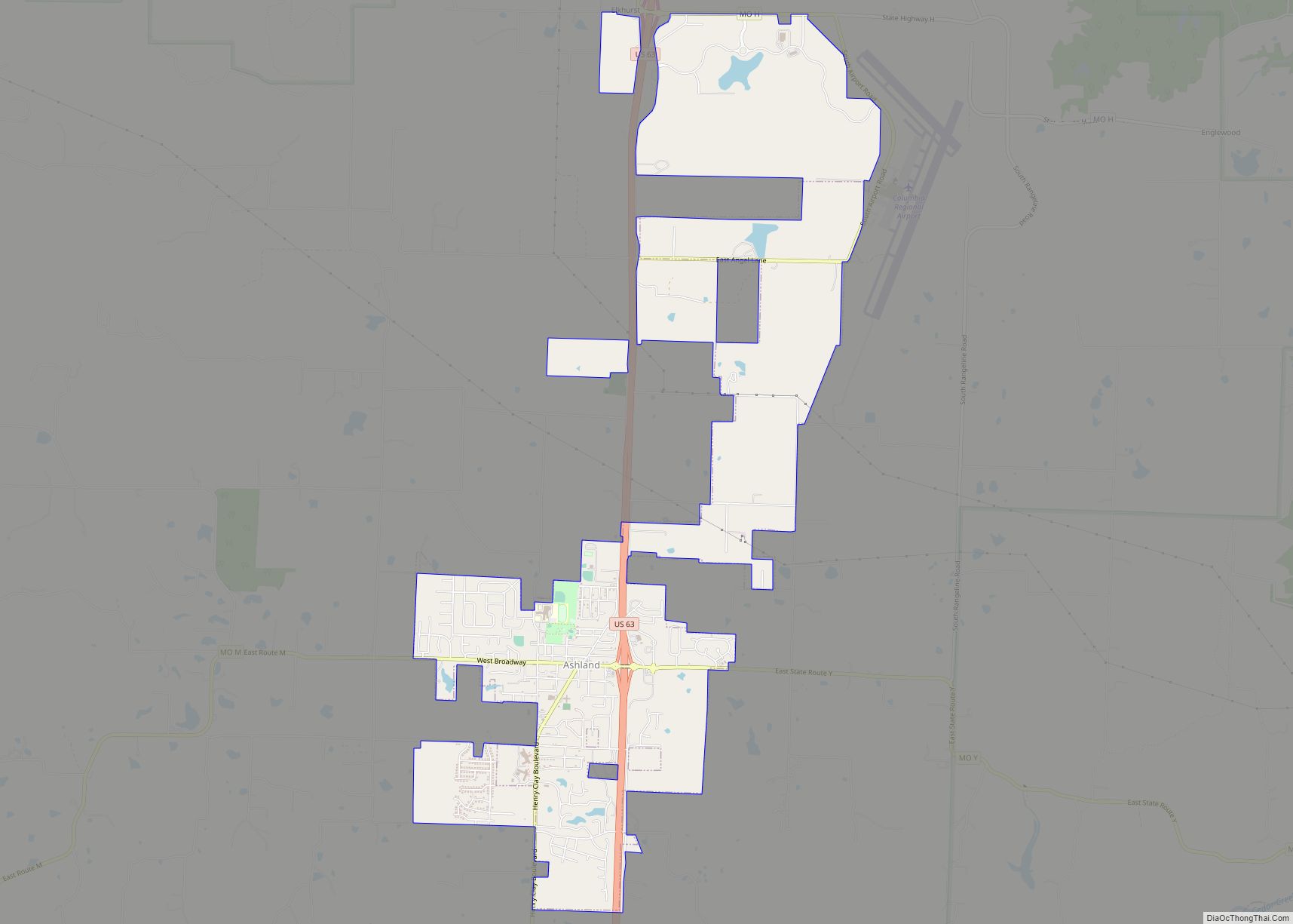
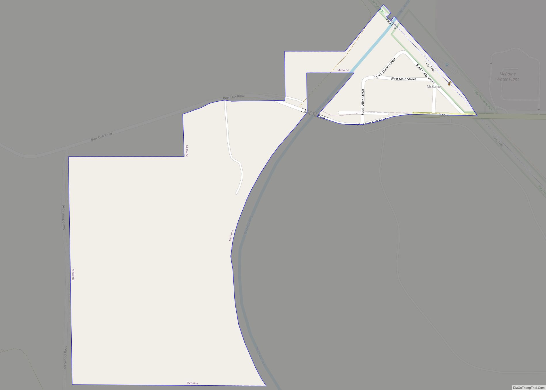
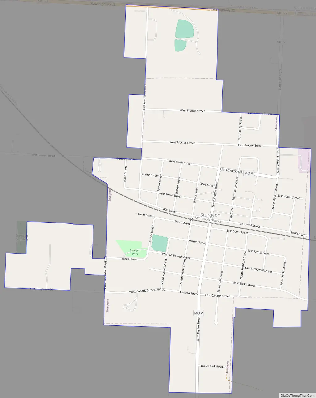
Sturgeon Road Map
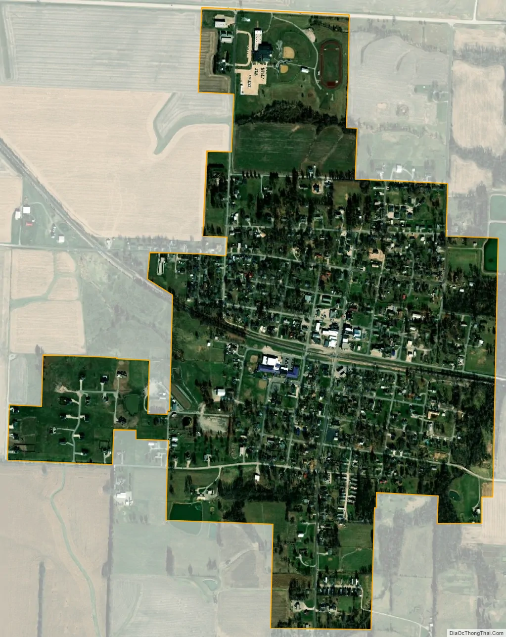
Sturgeon city Satellite Map
Geography
Sturgeon is located just south of the northern border of Boone County, approximately two miles east of U.S. Route 63, along Missouri Route CC. According to the United States Census Bureau, the city has a total area of 0.78 square miles (2.02 km), all land.
See also
Map of Missouri State and its subdivision:- Adair
- Andrew
- Atchison
- Audrain
- Barry
- Barton
- Bates
- Benton
- Bollinger
- Boone
- Buchanan
- Butler
- Caldwell
- Callaway
- Camden
- Cape Girardeau
- Carroll
- Carter
- Cass
- Cedar
- Chariton
- Christian
- Clark
- Clay
- Clinton
- Cole
- Cooper
- Crawford
- Dade
- Dallas
- Daviess
- De Kalb
- Dent
- Douglas
- Dunklin
- Franklin
- Gasconade
- Gentry
- Greene
- Grundy
- Harrison
- Henry
- Hickory
- Holt
- Howard
- Howell
- Iron
- Jackson
- Jasper
- Jefferson
- Johnson
- Knox
- Laclede
- Lafayette
- Lawrence
- Lewis
- Lincoln
- Linn
- Livingston
- Macon
- Madison
- Maries
- Marion
- McDonald
- Mercer
- Miller
- Mississippi
- Moniteau
- Monroe
- Montgomery
- Morgan
- New Madrid
- Newton
- Nodaway
- Oregon
- Osage
- Ozark
- Pemiscot
- Perry
- Pettis
- Phelps
- Pike
- Platte
- Polk
- Pulaski
- Putnam
- Ralls
- Randolph
- Ray
- Reynolds
- Ripley
- Saint Charles
- Saint Clair
- Saint Francois
- Saint Louis
- Sainte Genevieve
- Saline
- Schuyler
- Scotland
- Scott
- Shannon
- Shelby
- Stoddard
- Stone
- Sullivan
- Taney
- Texas
- Vernon
- Warren
- Washington
- Wayne
- Webster
- Worth
- Wright
- Alabama
- Alaska
- Arizona
- Arkansas
- California
- Colorado
- Connecticut
- Delaware
- District of Columbia
- Florida
- Georgia
- Hawaii
- Idaho
- Illinois
- Indiana
- Iowa
- Kansas
- Kentucky
- Louisiana
- Maine
- Maryland
- Massachusetts
- Michigan
- Minnesota
- Mississippi
- Missouri
- Montana
- Nebraska
- Nevada
- New Hampshire
- New Jersey
- New Mexico
- New York
- North Carolina
- North Dakota
- Ohio
- Oklahoma
- Oregon
- Pennsylvania
- Rhode Island
- South Carolina
- South Dakota
- Tennessee
- Texas
- Utah
- Vermont
- Virginia
- Washington
- West Virginia
- Wisconsin
- Wyoming