Warsaw is a city located in Benton County, Missouri, United States. The population was 2,127 at the 2010 census. Warsaw is the county seat of Benton County.
Adjacent to the Osage River it is heavily tied to two major lakes on the river. The uppermost reaches of Lake of the Ozarks is part of southwest city limits and the Truman Dam and Truman Reservoir are on its northwest side.
| Name: | Warsaw city |
|---|---|
| LSAD Code: | 25 |
| LSAD Description: | city (suffix) |
| State: | Missouri |
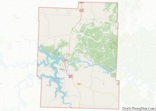
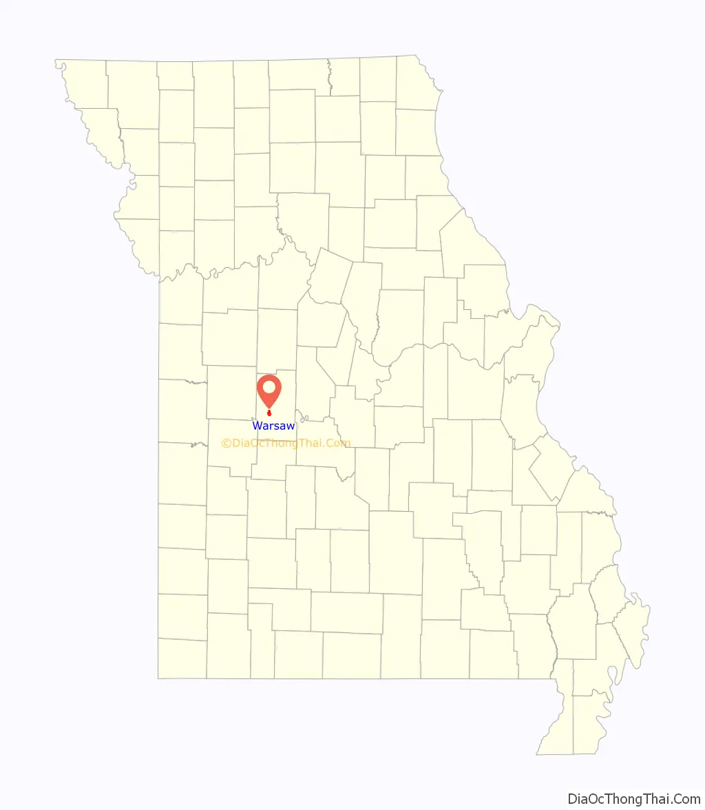
| County: | Benton County |
| Founded: | 1837 |
| Incorporated: | 1843 |
| Elevation: | 745 ft (227 m) |
| Total Area: | 2.75 sq mi (7.11 km²) |
| Land Area: | 2.49 sq mi (6.46 km²) |
| Water Area: | 0.25 sq mi (0.65 km²) |
| Total Population: | 2,209 |
| Population Density: | 886.08/sq mi (342.18/km²) |
| ZIP code: | 65355 |
| Area code: | 660 |
| FIPS code: | 2977146 |
| GNISfeature ID: | 2397201 |
| Website: | www.welcometowarsaw.com |
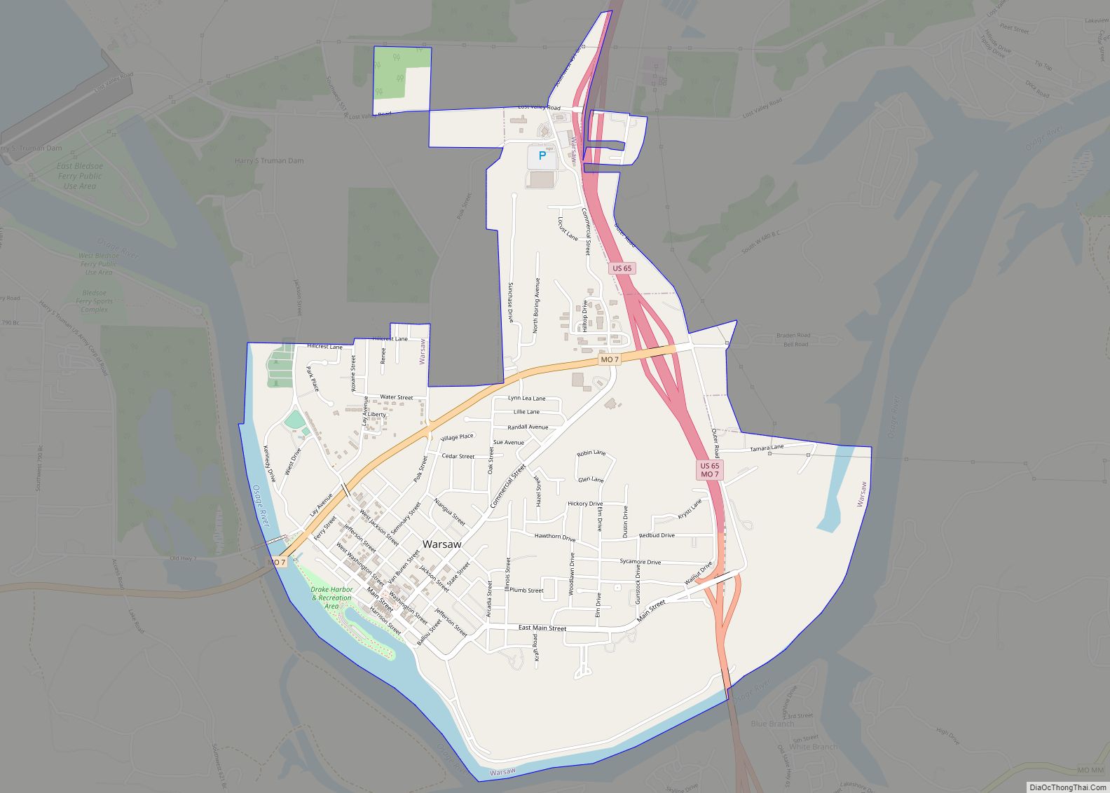
Online Interactive Map
Click on ![]() to view map in "full screen" mode.
to view map in "full screen" mode.
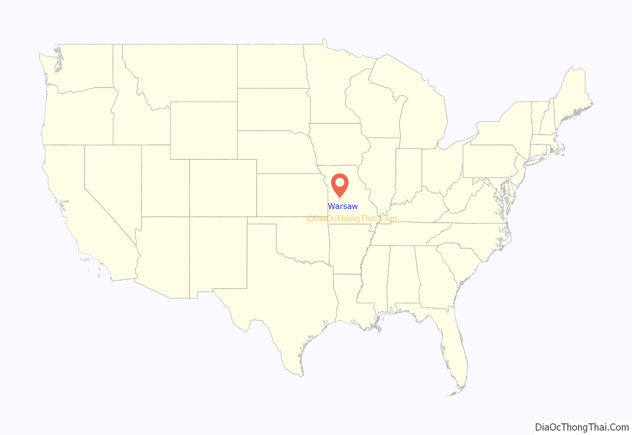
Warsaw location map. Where is Warsaw city?
History
The original inhabitants of the area were the Delaware, Shawnee, Sac, Kickapoo, and Osage tribes (namesake of the Osage River which passed by the city). French settlers visited the area as early as 1719.
Warsaw was platted in 1837. The city was incorporated in 1843 and designated as the county seat of Benton County. The city was named after Warsaw, the capital city of Poland, in honor of the Revolutionary War hero Tadeusz Kościuszko, who was Polish and had also fought for independence in his homeland. Warsaw was a steamboat port, the furthest point up the Osage River they could navigate.
Permanent immigrants to the area were Germans, Scotch-Irish, and English, as well as transplant farmers from Kentucky, Tennessee and the Carolinas, first arriving circa 1820.
In 1931 the upper reaches of Lake of the Ozarks reached the community on the Osage River. The dam for Truman Reservoir on the Osage River just northwest of the city limits officially opened 1979 after construction began in 1964. Place names for many lake related businesses including the Harry S. Truman Regional Visitor Center have the Warsaw mailing address even though they are outside the city limits. The Warsaw city limits do not include Truman Reservoir lakefront. City limits do include waterfront the upper reaches of the Osage Arm of the Lake of the Ozarks.
The Upper Bridge was listed on the National Register of Historic Places in 1999. The bridge is the first crossing of the Osage River below the Truman Dam is actually a crossing of Lake of the Ozarks.
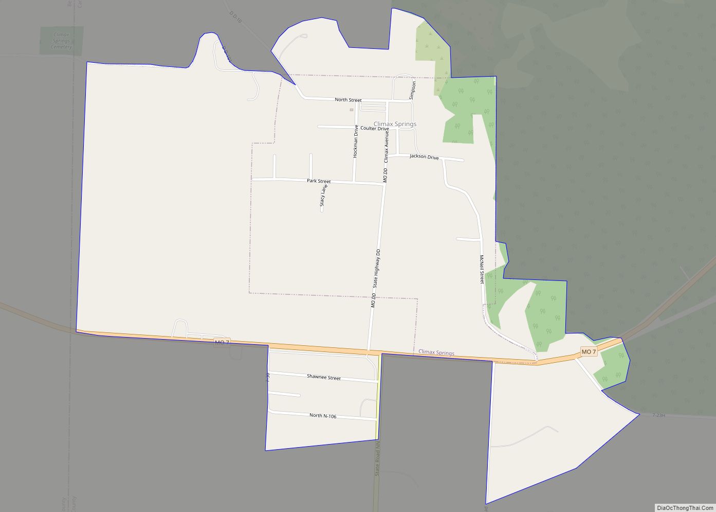
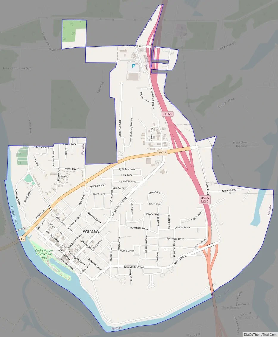
Warsaw Road Map
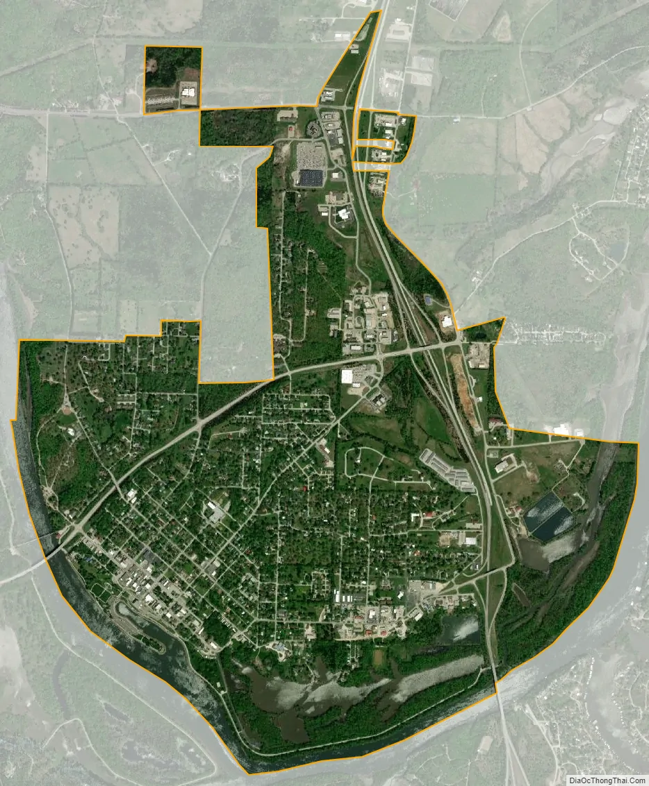
Warsaw city Satellite Map
Geography
Warsaw is located at 38°14’43” North, 93°22’38” West (38.245195, -93.377227). According to the United States Census Bureau, the city has a total area of 2.62 square miles (6.79 km), of which 2.41 square miles (6.24 km) is land and 0.21 square miles (0.54 km) is water. The total area is 7.6% water given its southern border the upper reaches of Lake of the Ozarks. Warsaw is located on a junction of U.S. Route 65 and Missouri Route 7. It is located on the northern terminus of Missouri Route 83.
See also
Map of Missouri State and its subdivision:- Adair
- Andrew
- Atchison
- Audrain
- Barry
- Barton
- Bates
- Benton
- Bollinger
- Boone
- Buchanan
- Butler
- Caldwell
- Callaway
- Camden
- Cape Girardeau
- Carroll
- Carter
- Cass
- Cedar
- Chariton
- Christian
- Clark
- Clay
- Clinton
- Cole
- Cooper
- Crawford
- Dade
- Dallas
- Daviess
- De Kalb
- Dent
- Douglas
- Dunklin
- Franklin
- Gasconade
- Gentry
- Greene
- Grundy
- Harrison
- Henry
- Hickory
- Holt
- Howard
- Howell
- Iron
- Jackson
- Jasper
- Jefferson
- Johnson
- Knox
- Laclede
- Lafayette
- Lawrence
- Lewis
- Lincoln
- Linn
- Livingston
- Macon
- Madison
- Maries
- Marion
- McDonald
- Mercer
- Miller
- Mississippi
- Moniteau
- Monroe
- Montgomery
- Morgan
- New Madrid
- Newton
- Nodaway
- Oregon
- Osage
- Ozark
- Pemiscot
- Perry
- Pettis
- Phelps
- Pike
- Platte
- Polk
- Pulaski
- Putnam
- Ralls
- Randolph
- Ray
- Reynolds
- Ripley
- Saint Charles
- Saint Clair
- Saint Francois
- Saint Louis
- Sainte Genevieve
- Saline
- Schuyler
- Scotland
- Scott
- Shannon
- Shelby
- Stoddard
- Stone
- Sullivan
- Taney
- Texas
- Vernon
- Warren
- Washington
- Wayne
- Webster
- Worth
- Wright
- Alabama
- Alaska
- Arizona
- Arkansas
- California
- Colorado
- Connecticut
- Delaware
- District of Columbia
- Florida
- Georgia
- Hawaii
- Idaho
- Illinois
- Indiana
- Iowa
- Kansas
- Kentucky
- Louisiana
- Maine
- Maryland
- Massachusetts
- Michigan
- Minnesota
- Mississippi
- Missouri
- Montana
- Nebraska
- Nevada
- New Hampshire
- New Jersey
- New Mexico
- New York
- North Carolina
- North Dakota
- Ohio
- Oklahoma
- Oregon
- Pennsylvania
- Rhode Island
- South Carolina
- South Dakota
- Tennessee
- Texas
- Utah
- Vermont
- Virginia
- Washington
- West Virginia
- Wisconsin
- Wyoming