Webster Groves is an inner-ring suburb of St. Louis in St. Louis County, Missouri, United States. The population was 22,995 at the 2010 census.
The city is home to the main campus of Webster University.
| Name: | Webster Groves city |
|---|---|
| LSAD Code: | 25 |
| LSAD Description: | city (suffix) |
| State: | Missouri |
| County: | St. Louis County |
| Elevation: | 564 ft (172 m) |
| Total Area: | 5.91 sq mi (15.31 km²) |
| Land Area: | 5.91 sq mi (15.31 km²) |
| Water Area: | 0.00 sq mi (0.00 km²) |
| Total Population: | 24,010 |
| Population Density: | 4,060.54/sq mi (1,567.77/km²) |
| ZIP code: | 63119 |
| Area code: | 314 |
| FIPS code: | 2978154 |
| GNISfeature ID: | 2397242 |
| Website: | www.webstergroves.org |
Online Interactive Map
Click on ![]() to view map in "full screen" mode.
to view map in "full screen" mode.
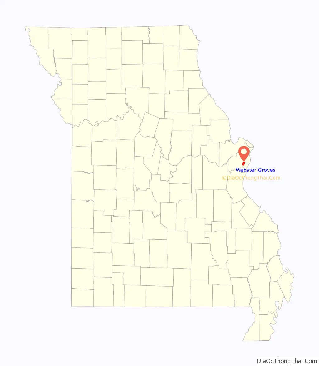
Webster Groves location map. Where is Webster Groves city?

History
Webster Groves is approximately 2 miles (3 km) west of the St. Louis city limits, and 10 miles (16 km) southwest of downtown St. Louis, in an area known to fur trappers and Missouri, Osage and Dakota indigenous people, until 1802, as the Dry Ridge. In the early 19th century, this region, once a part of the Louisiana Territory, was changing from Spanish to French ownership, and a system of land grants was inaugurated to promote immigration. During the early period of Spanish rule, officials gave land to settlers as a check against the English.
As part of this program, in 1802, Grégoire Sarpy was granted 6,002 acres (2,429 ha) by Charles de Hault Delassus, the last Spanish lieutenant governor of the Illinois Country. The land grant covered the major area now known as Webster Groves.
Webster Groves’ location on the Pacific Railroad line led to its development as a suburb. In the late 19th century, overcrowding, congestion, and unhealthy conditions in St. Louis prompted urban residents to leave the city for quieter, safer surroundings. In 1892 the developers of Webster Park, an early housing subdivision, promoted the new community as the “Queen of the Suburbs”, offering residents superb housing options in a country-like atmosphere, as well as a swift commute to downtown St. Louis jobs. The first public school in the community was Douglass Elementary School, founded as a separate but equal school for African-American children in the post-Civil War black community in North Webster. In the 1920s, the school grew into Douglass High School, the only high school in St. Louis County for black students. The school operated until 1956, when the U.S. Supreme Court required desegregation.
As a suburban municipality, Webster Groves has its origins as five separate communities along adjacent railroad lines. Webster, Old Orchard, Webster Park, Tuxedo Park, and Selma merged in 1896 to implement public services and develop a unified city government. Since then, Webster Groves’ tree-lined streets and abundance of single family homes have continued to attract people to the area as a “great place to live, work and play”, not solely for the wealthy commuter suburb that early developers envisioned but for families that cut across all socioeconomic lines. The geographic and economic diversity of Webster Groves is evident in its variety of neighborhoods.
In the 1960s, Webster Groves was featured in 16 In Webster Groves, a televised documentary that writer Jonathan Franzen, a native of Webster Groves, described in his memoir The Discomfort Zone as an “early experiment in hour-long prime-time sociology”. According to Franzen, it depicted Webster Groves High School, which he attended only a few years after the documentary’s broadcast, as being “ruled by a tiny elite of ‘soshies’ who made life gray and marginal for the great majority of students who weren’t ‘football captains,’ ‘cheerleaders’ or ‘dance queens'”; the school was depicted as having a “student body obsessed with grades, cars and money.” Franzen thought “the Webster Groves depicted in it bears minimal resemblance to the friendly, unpretentious town I knew when I was growing up.”
Webster Groves was the setting for the 1974–75 NBC television series Lucas Tanner.
In the wake of the 1999 Columbine High School massacre, Webster Groves High School was again profiled, this time in Time, which described Webster Groves as a “pretty town of old elms and deep porches” and a “mix of $90,000 cottages and $750,000 homes, young marrieds and old-line families and transient middle managers assigned to a stint in the St. Louis office who are looking for a comfortable place to settle and keep their kids on the track toward prosperity.”
The Webster Groves High School Statesmen maintain one of the oldest high school football rivalries west of the Mississippi River with the Pioneers of Kirkwood High School. The two teams typically play each other in the Missouri Turkey Day Game each Thanksgiving, if their playoff schedules permit it; they also have faced each other in the state playoff tournaments several times in recent years.
Webster Groves Road Map

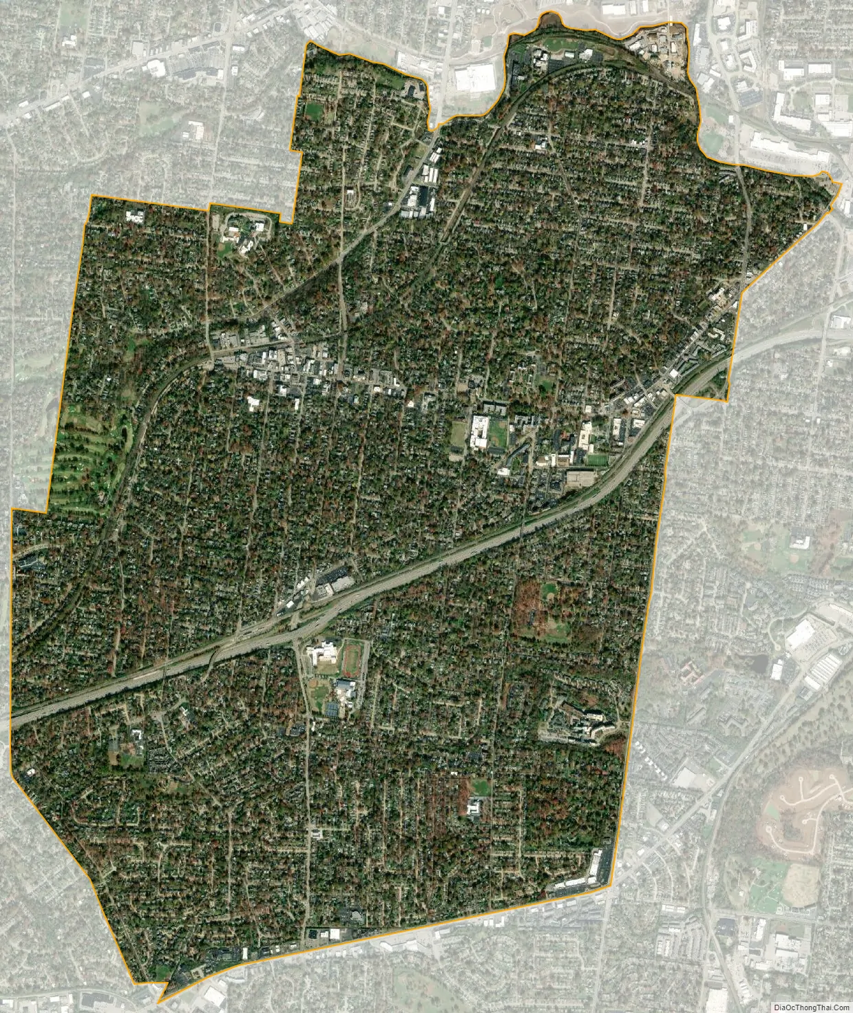
Webster Groves city Satellite Map
Geography
According to the United States Census Bureau, the city has a total area of 5.90 square miles (15.28 km), all land.
Webster Groves is bounded to the east by Shrewsbury, on the north by Maplewood, Brentwood and Rock Hill, to the west by Glendale, Oakland, and Crestwood, and on the south by Affton and Marlborough.
See also
Map of Missouri State and its subdivision:- Adair
- Andrew
- Atchison
- Audrain
- Barry
- Barton
- Bates
- Benton
- Bollinger
- Boone
- Buchanan
- Butler
- Caldwell
- Callaway
- Camden
- Cape Girardeau
- Carroll
- Carter
- Cass
- Cedar
- Chariton
- Christian
- Clark
- Clay
- Clinton
- Cole
- Cooper
- Crawford
- Dade
- Dallas
- Daviess
- De Kalb
- Dent
- Douglas
- Dunklin
- Franklin
- Gasconade
- Gentry
- Greene
- Grundy
- Harrison
- Henry
- Hickory
- Holt
- Howard
- Howell
- Iron
- Jackson
- Jasper
- Jefferson
- Johnson
- Knox
- Laclede
- Lafayette
- Lawrence
- Lewis
- Lincoln
- Linn
- Livingston
- Macon
- Madison
- Maries
- Marion
- McDonald
- Mercer
- Miller
- Mississippi
- Moniteau
- Monroe
- Montgomery
- Morgan
- New Madrid
- Newton
- Nodaway
- Oregon
- Osage
- Ozark
- Pemiscot
- Perry
- Pettis
- Phelps
- Pike
- Platte
- Polk
- Pulaski
- Putnam
- Ralls
- Randolph
- Ray
- Reynolds
- Ripley
- Saint Charles
- Saint Clair
- Saint Francois
- Saint Louis
- Sainte Genevieve
- Saline
- Schuyler
- Scotland
- Scott
- Shannon
- Shelby
- Stoddard
- Stone
- Sullivan
- Taney
- Texas
- Vernon
- Warren
- Washington
- Wayne
- Webster
- Worth
- Wright
- Alabama
- Alaska
- Arizona
- Arkansas
- California
- Colorado
- Connecticut
- Delaware
- District of Columbia
- Florida
- Georgia
- Hawaii
- Idaho
- Illinois
- Indiana
- Iowa
- Kansas
- Kentucky
- Louisiana
- Maine
- Maryland
- Massachusetts
- Michigan
- Minnesota
- Mississippi
- Missouri
- Montana
- Nebraska
- Nevada
- New Hampshire
- New Jersey
- New Mexico
- New York
- North Carolina
- North Dakota
- Ohio
- Oklahoma
- Oregon
- Pennsylvania
- Rhode Island
- South Carolina
- South Dakota
- Tennessee
- Texas
- Utah
- Vermont
- Virginia
- Washington
- West Virginia
- Wisconsin
- Wyoming


