Weldon Spring is a city in St. Charles County, Missouri, United States. The population was 5,443 at the 2010 census.
| Name: | Weldon Spring city |
|---|---|
| LSAD Code: | 25 |
| LSAD Description: | city (suffix) |
| State: | Missouri |
| County: | St. Charles County |
| Elevation: | 541 ft (165 m) |
| Total Area: | 7.78 sq mi (20.14 km²) |
| Land Area: | 7.65 sq mi (19.81 km²) |
| Water Area: | 0.13 sq mi (0.33 km²) |
| Total Population: | 5,326 |
| Population Density: | 696.48/sq mi (268.91/km²) |
| FIPS code: | 2978314 |
| GNISfeature ID: | 0756882 |
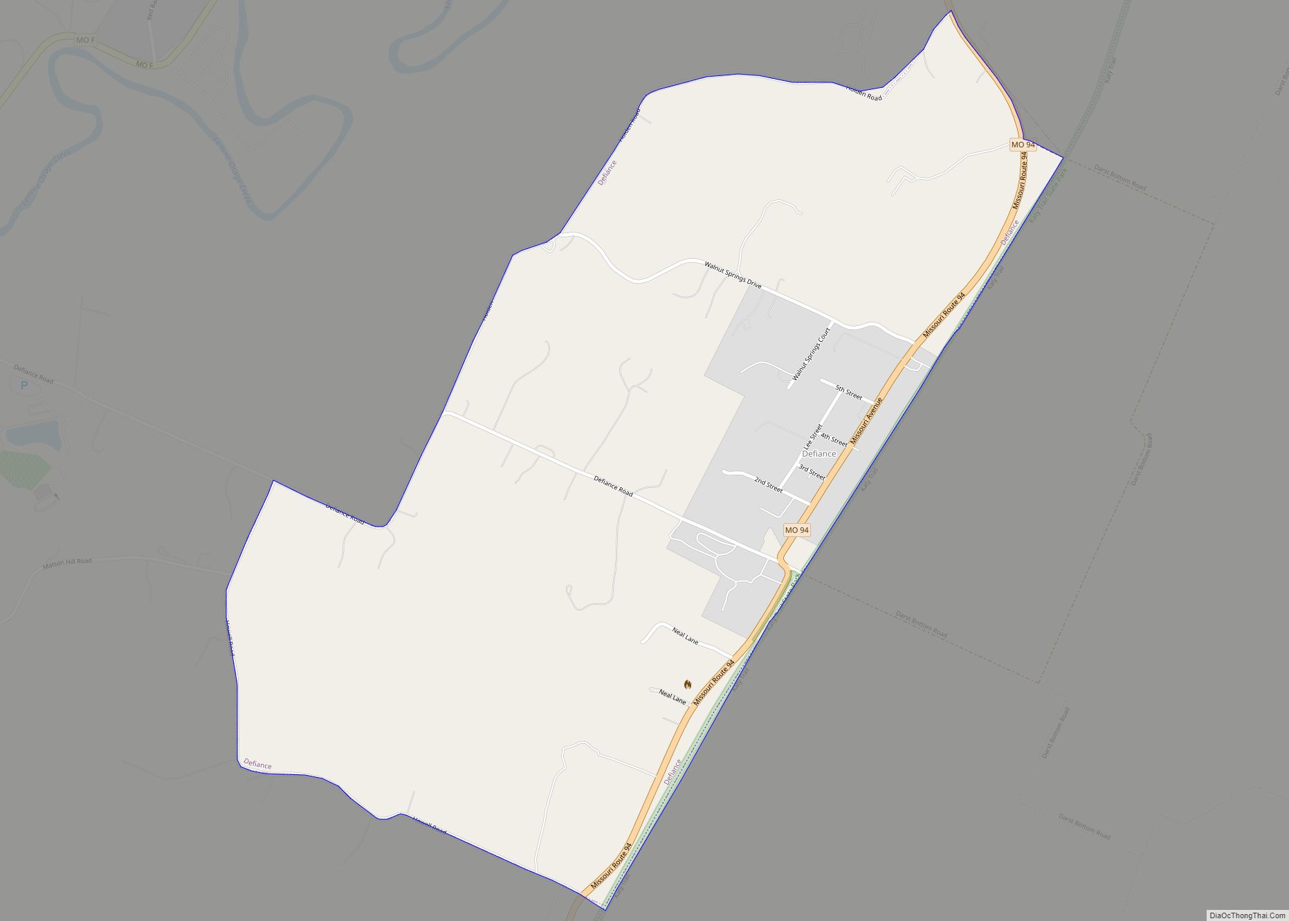
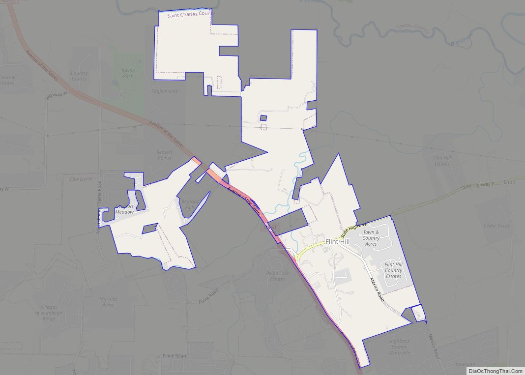
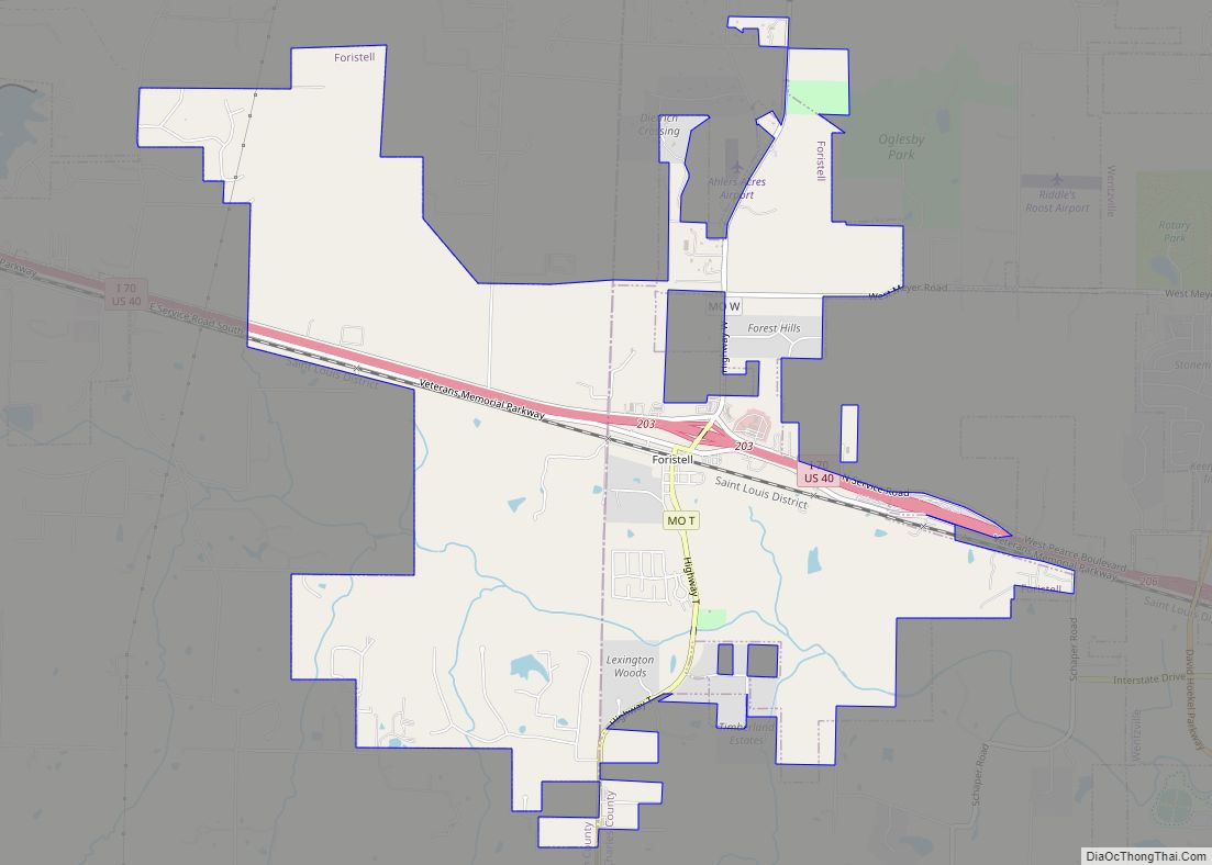
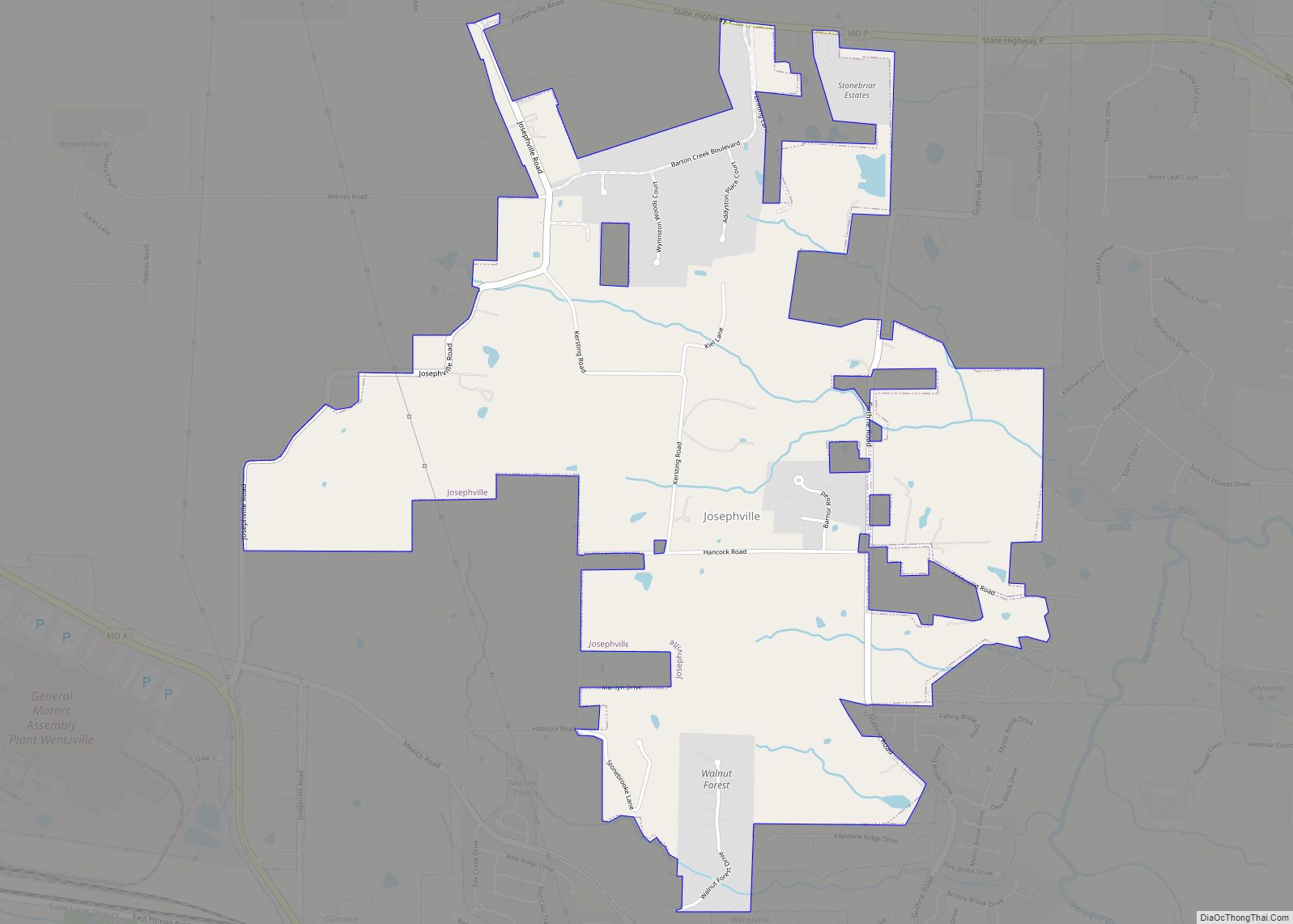
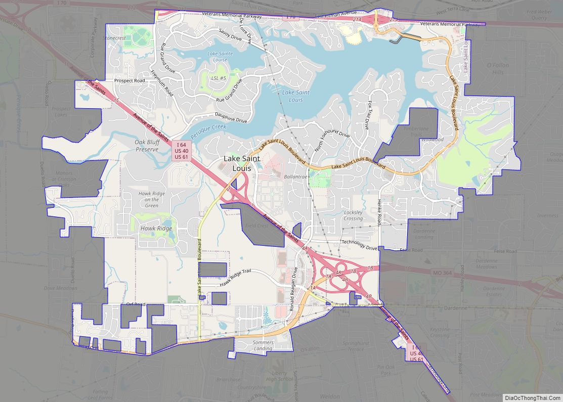
Online Interactive Map
Click on ![]() to view map in "full screen" mode.
to view map in "full screen" mode.
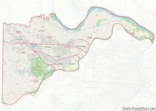
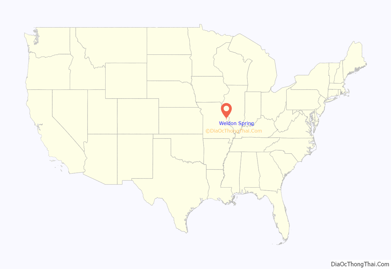
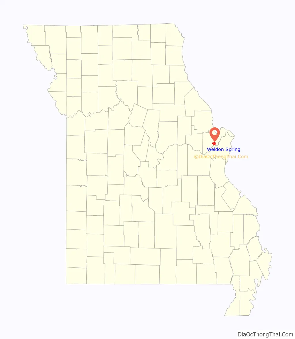
Weldon Spring location map. Where is Weldon Spring city?
History
Weldon Spring was platted in 1864. The community took its name from a spring of the same name near the original town site. A post office called Weldon Spring was established in 1875, and remained in operation until 1957.
In 1941, the United States Army purchased 17,000 acres of land in the surrounding area. The Weldon Spring Ordnance Works built the largest explosives factory in the United States on the site. It was built to produce TNT and DNT for Allied forces during World War II. It closed on August 15, 1945, days after the end of the war. Most of the land was then sold.
A proposal appeared in 1945 suggesting the placement of United Nations Headquarters in the area.
In 1955, the United States Atomic Energy Commission built a uranium ore processing plant on the 2,000 remaining acres. Weldon Spring Uranium Feed Mill Plant produced yellow cake uranium ore. In 1966, the plant closed and remained abandoned for 20 years. The site was contaminated with over 1.5 million cubic yards of asbestos, radioactive uranium and contaminated rubble. The U.S. Department of Energy began a decontamination of the site in the late 1980s and completed it in 2001, with a 45-acre rubble mountain over the site.
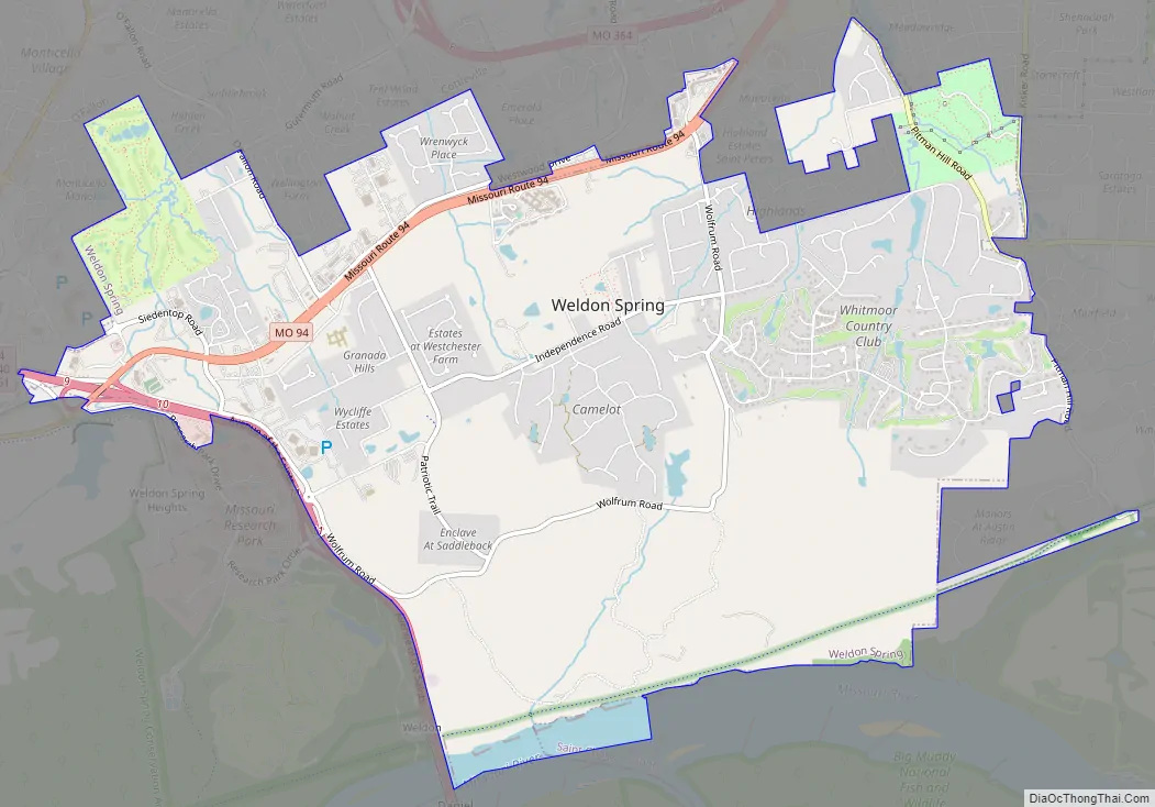
Weldon Spring Road Map
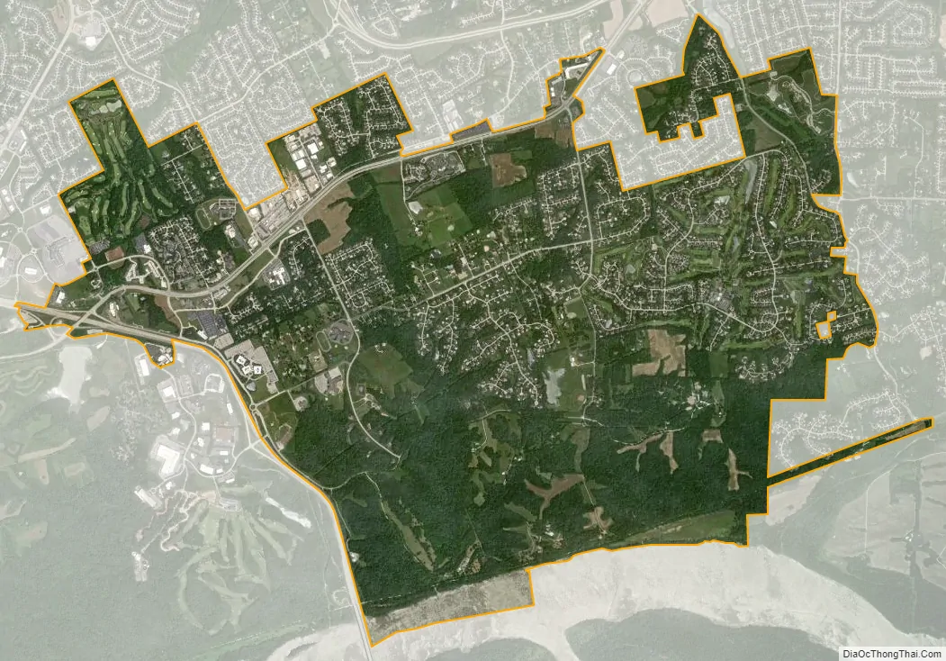
Weldon Spring city Satellite Map
Geography
Weldon Spring is located at 38°43′00″N 90°38′57″W / 38.716552°N 90.649105°W / 38.716552; -90.649105. It is 27 miles west-northwest of St. Louis.
According to the United States Census Bureau, the city has a total area of 7.64 square miles (19.79 km), of which 7.51 square miles (19.45 km) is land and 0.13 square miles (0.34 km) is water.
Climate
See also
Map of Missouri State and its subdivision:- Adair
- Andrew
- Atchison
- Audrain
- Barry
- Barton
- Bates
- Benton
- Bollinger
- Boone
- Buchanan
- Butler
- Caldwell
- Callaway
- Camden
- Cape Girardeau
- Carroll
- Carter
- Cass
- Cedar
- Chariton
- Christian
- Clark
- Clay
- Clinton
- Cole
- Cooper
- Crawford
- Dade
- Dallas
- Daviess
- De Kalb
- Dent
- Douglas
- Dunklin
- Franklin
- Gasconade
- Gentry
- Greene
- Grundy
- Harrison
- Henry
- Hickory
- Holt
- Howard
- Howell
- Iron
- Jackson
- Jasper
- Jefferson
- Johnson
- Knox
- Laclede
- Lafayette
- Lawrence
- Lewis
- Lincoln
- Linn
- Livingston
- Macon
- Madison
- Maries
- Marion
- McDonald
- Mercer
- Miller
- Mississippi
- Moniteau
- Monroe
- Montgomery
- Morgan
- New Madrid
- Newton
- Nodaway
- Oregon
- Osage
- Ozark
- Pemiscot
- Perry
- Pettis
- Phelps
- Pike
- Platte
- Polk
- Pulaski
- Putnam
- Ralls
- Randolph
- Ray
- Reynolds
- Ripley
- Saint Charles
- Saint Clair
- Saint Francois
- Saint Louis
- Sainte Genevieve
- Saline
- Schuyler
- Scotland
- Scott
- Shannon
- Shelby
- Stoddard
- Stone
- Sullivan
- Taney
- Texas
- Vernon
- Warren
- Washington
- Wayne
- Webster
- Worth
- Wright
- Alabama
- Alaska
- Arizona
- Arkansas
- California
- Colorado
- Connecticut
- Delaware
- District of Columbia
- Florida
- Georgia
- Hawaii
- Idaho
- Illinois
- Indiana
- Iowa
- Kansas
- Kentucky
- Louisiana
- Maine
- Maryland
- Massachusetts
- Michigan
- Minnesota
- Mississippi
- Missouri
- Montana
- Nebraska
- Nevada
- New Hampshire
- New Jersey
- New Mexico
- New York
- North Carolina
- North Dakota
- Ohio
- Oklahoma
- Oregon
- Pennsylvania
- Rhode Island
- South Carolina
- South Dakota
- Tennessee
- Texas
- Utah
- Vermont
- Virginia
- Washington
- West Virginia
- Wisconsin
- Wyoming