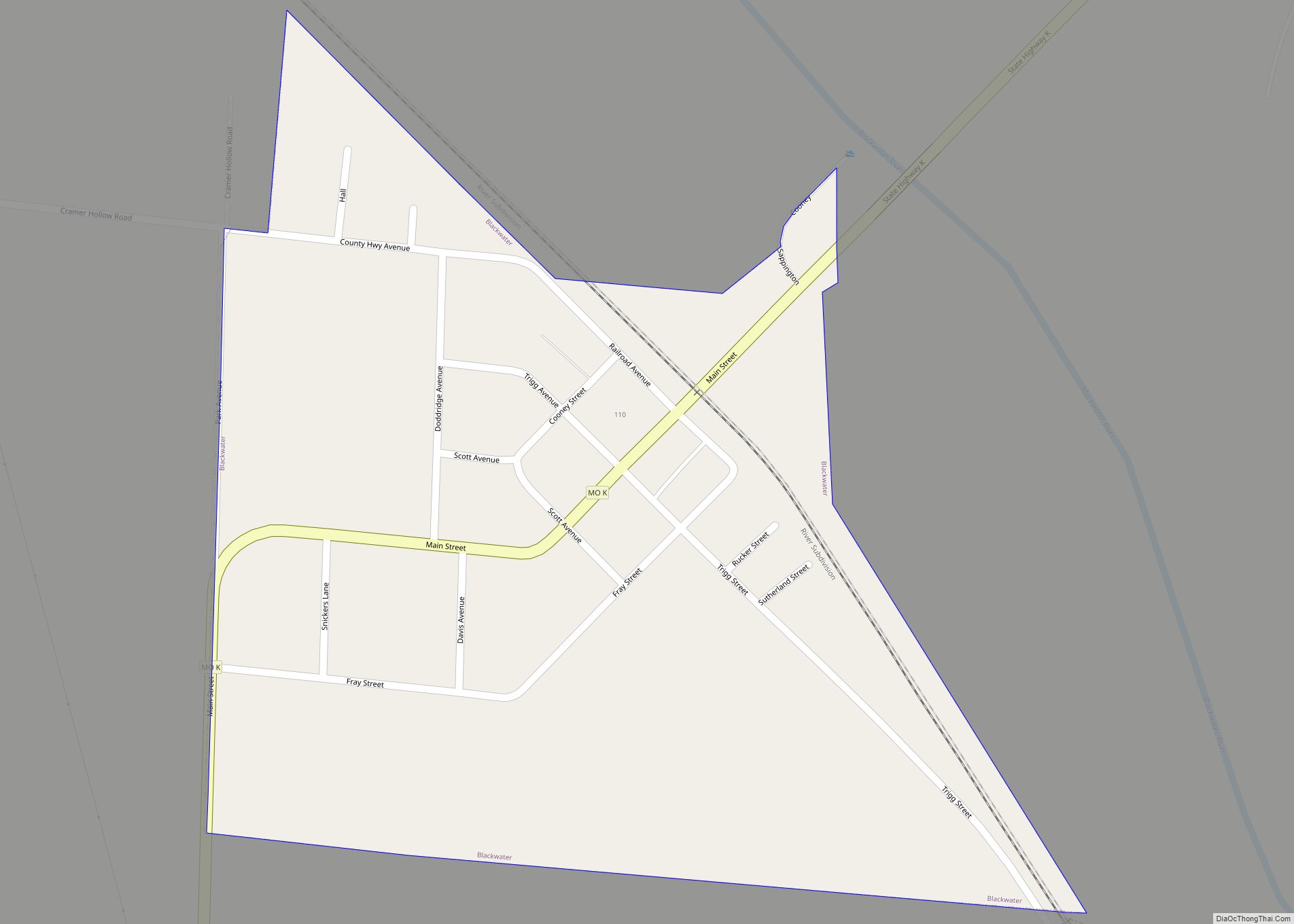
Wooldridge is a village in northeastern Cooper County, Missouri, United States. The population was 61 at the 2010 census. On October 22, 2022, a large fire destroyed 23 buildings, about half the town.
| Name: | Wooldridge village |
|---|---|
| LSAD Code: | 47 |
| LSAD Description: | village (suffix) |
| State: | Missouri |
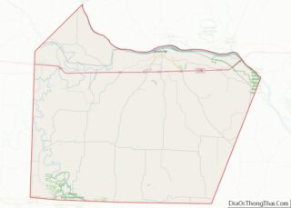
| County: | Cooper County |
| Elevation: | 581 ft (177 m) |
| Total Area: | 0.06 sq mi (0.16 km²) |
| Land Area: | 0.06 sq mi (0.16 km²) |
| Water Area: | 0.00 sq mi (0.00 km²) |
| Total Population: | 28 |
| Population Density: | 466.67/sq mi (179.78/km²) |
| ZIP code: | 65287 |
| Area code: | 660 |
| FIPS code: | 2981016 |
| GNISfeature ID: | 2399740 |
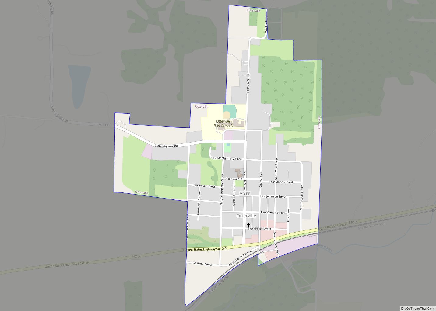
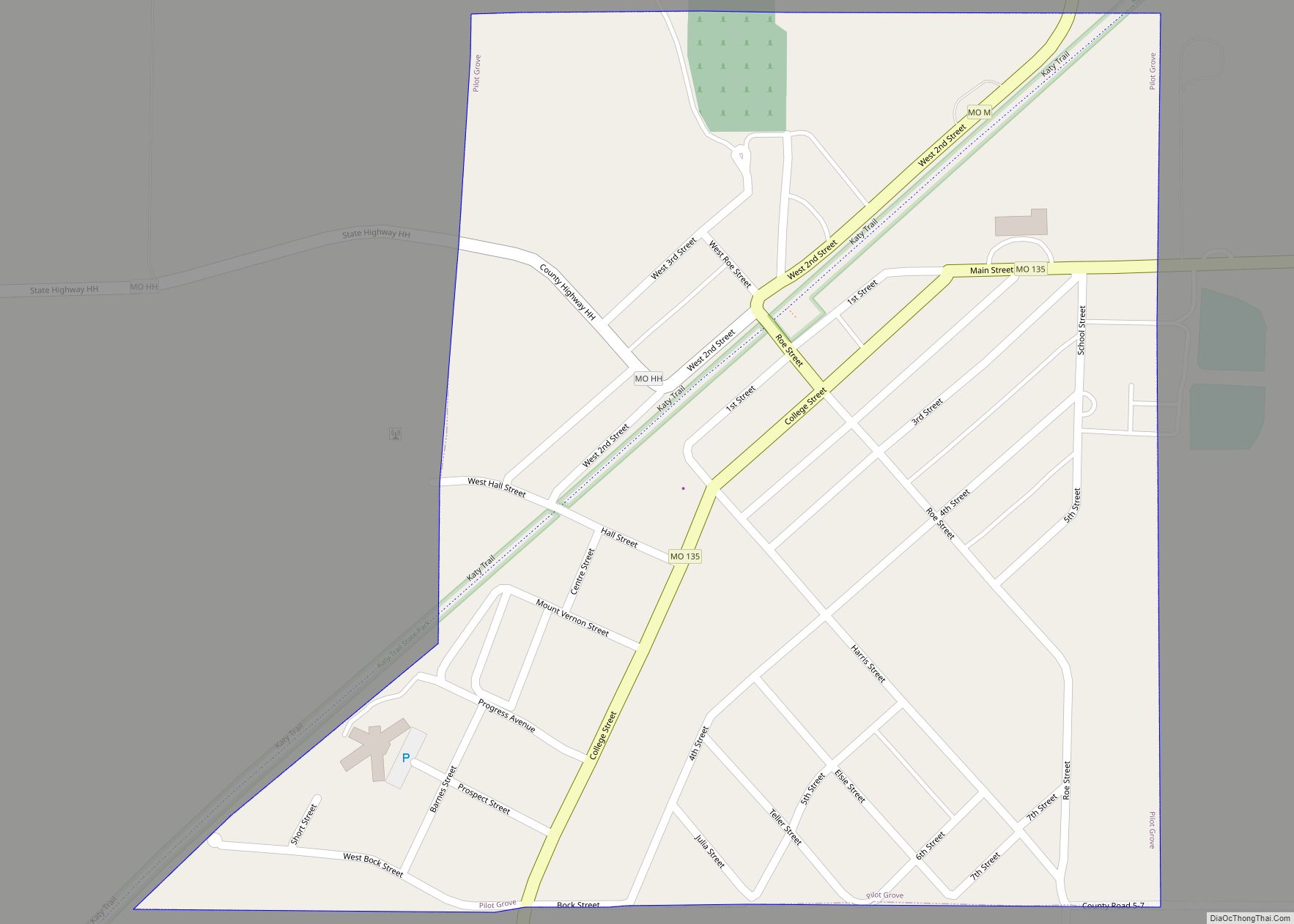
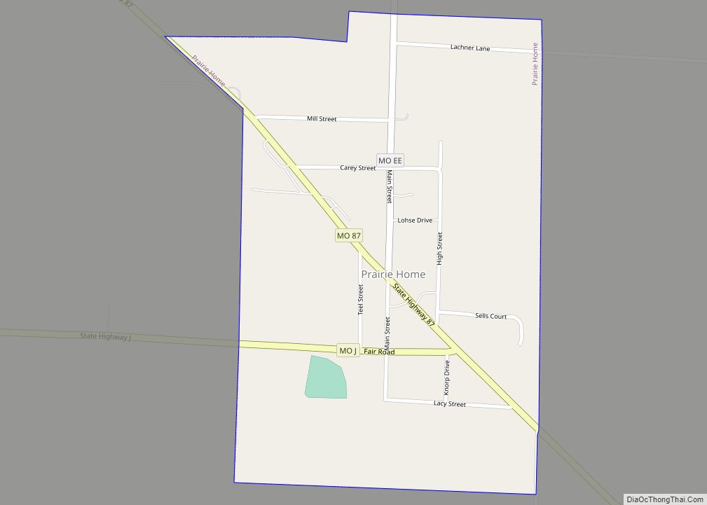
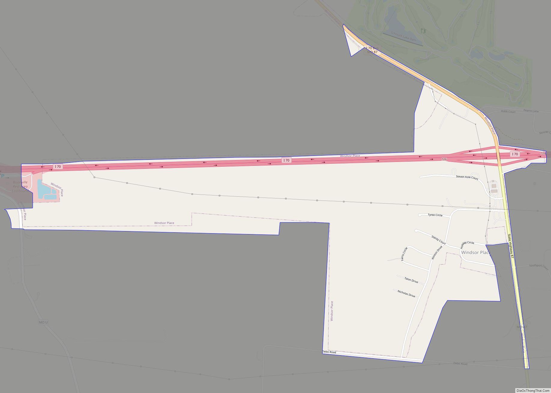
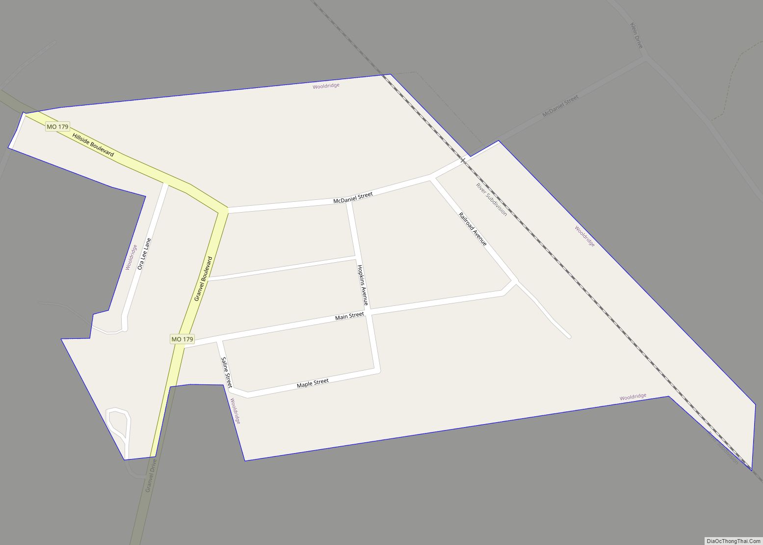
Online Interactive Map
Click on ![]() to view map in "full screen" mode.
to view map in "full screen" mode.
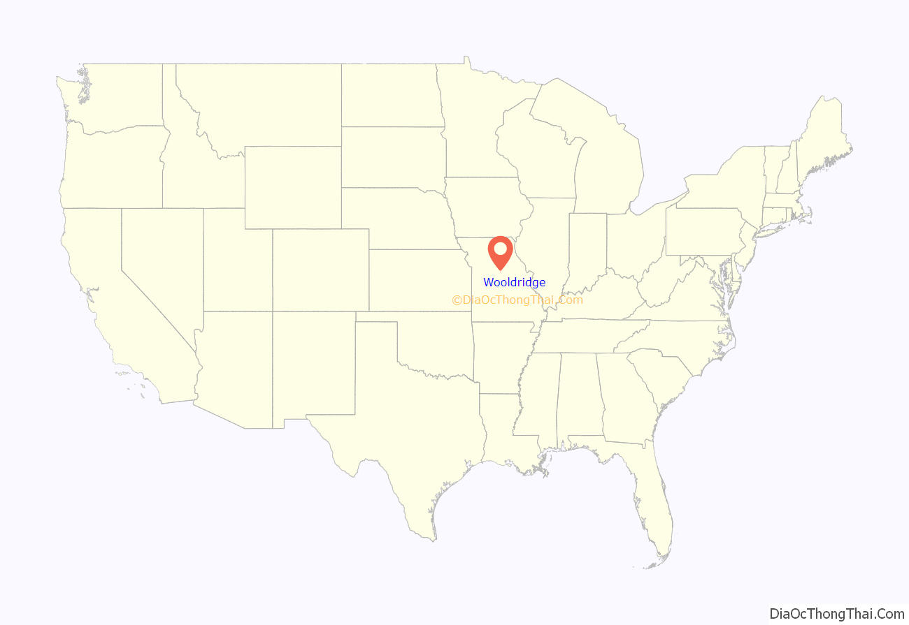
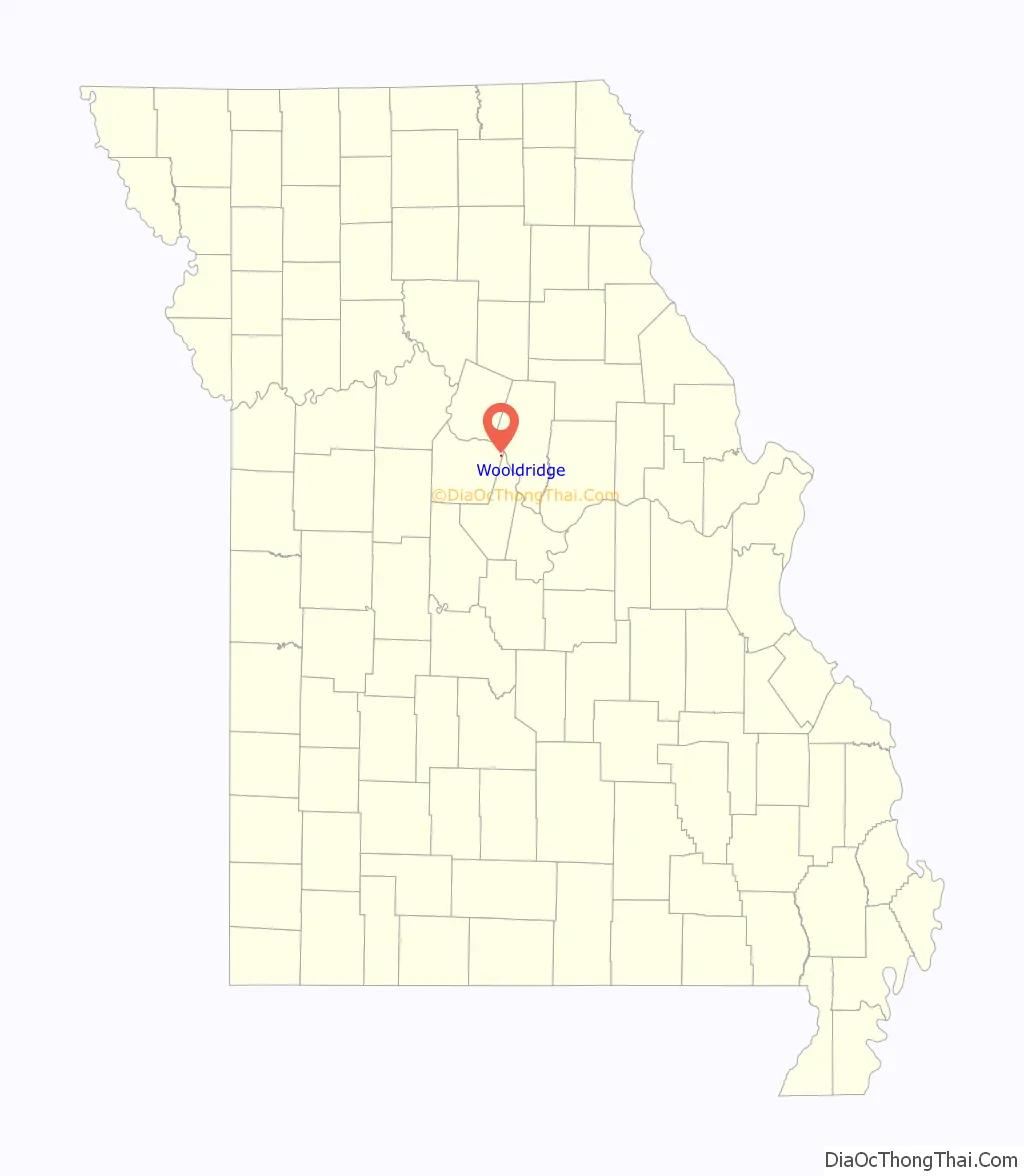
Wooldridge location map. Where is Wooldridge village?
History
Wooldridge was laid out in 1901. The village was named for Dr. Wooldridge, the original owner of the town site. A post office called Wooldridge has been in operation since 1902.
Wooldridge Road Map

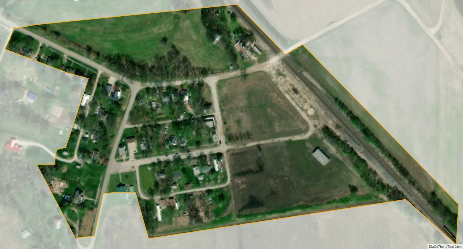
Wooldridge city Satellite Map
Geography
Wooldridge is located on Missouri Route 179 in the northeast corner of Cooper County. The Missouri River floodplain lies adjacent to the northeast side of the community. Boonville lies approximately eleven miles to the northwest. Columbia is nine miles to the northeast in adjacent Boone County.
According to the United States Census Bureau, the village has a total area of 0.06 square miles (0.16 km), all land.
See also
Map of Missouri State and its subdivision:- Adair
- Andrew
- Atchison
- Audrain
- Barry
- Barton
- Bates
- Benton
- Bollinger
- Boone
- Buchanan
- Butler
- Caldwell
- Callaway
- Camden
- Cape Girardeau
- Carroll
- Carter
- Cass
- Cedar
- Chariton
- Christian
- Clark
- Clay
- Clinton
- Cole
- Cooper
- Crawford
- Dade
- Dallas
- Daviess
- De Kalb
- Dent
- Douglas
- Dunklin
- Franklin
- Gasconade
- Gentry
- Greene
- Grundy
- Harrison
- Henry
- Hickory
- Holt
- Howard
- Howell
- Iron
- Jackson
- Jasper
- Jefferson
- Johnson
- Knox
- Laclede
- Lafayette
- Lawrence
- Lewis
- Lincoln
- Linn
- Livingston
- Macon
- Madison
- Maries
- Marion
- McDonald
- Mercer
- Miller
- Mississippi
- Moniteau
- Monroe
- Montgomery
- Morgan
- New Madrid
- Newton
- Nodaway
- Oregon
- Osage
- Ozark
- Pemiscot
- Perry
- Pettis
- Phelps
- Pike
- Platte
- Polk
- Pulaski
- Putnam
- Ralls
- Randolph
- Ray
- Reynolds
- Ripley
- Saint Charles
- Saint Clair
- Saint Francois
- Saint Louis
- Sainte Genevieve
- Saline
- Schuyler
- Scotland
- Scott
- Shannon
- Shelby
- Stoddard
- Stone
- Sullivan
- Taney
- Texas
- Vernon
- Warren
- Washington
- Wayne
- Webster
- Worth
- Wright
- Alabama
- Alaska
- Arizona
- Arkansas
- California
- Colorado
- Connecticut
- Delaware
- District of Columbia
- Florida
- Georgia
- Hawaii
- Idaho
- Illinois
- Indiana
- Iowa
- Kansas
- Kentucky
- Louisiana
- Maine
- Maryland
- Massachusetts
- Michigan
- Minnesota
- Mississippi
- Missouri
- Montana
- Nebraska
- Nevada
- New Hampshire
- New Jersey
- New Mexico
- New York
- North Carolina
- North Dakota
- Ohio
- Oklahoma
- Oregon
- Pennsylvania
- Rhode Island
- South Carolina
- South Dakota
- Tennessee
- Texas
- Utah
- Vermont
- Virginia
- Washington
- West Virginia
- Wisconsin
- Wyoming