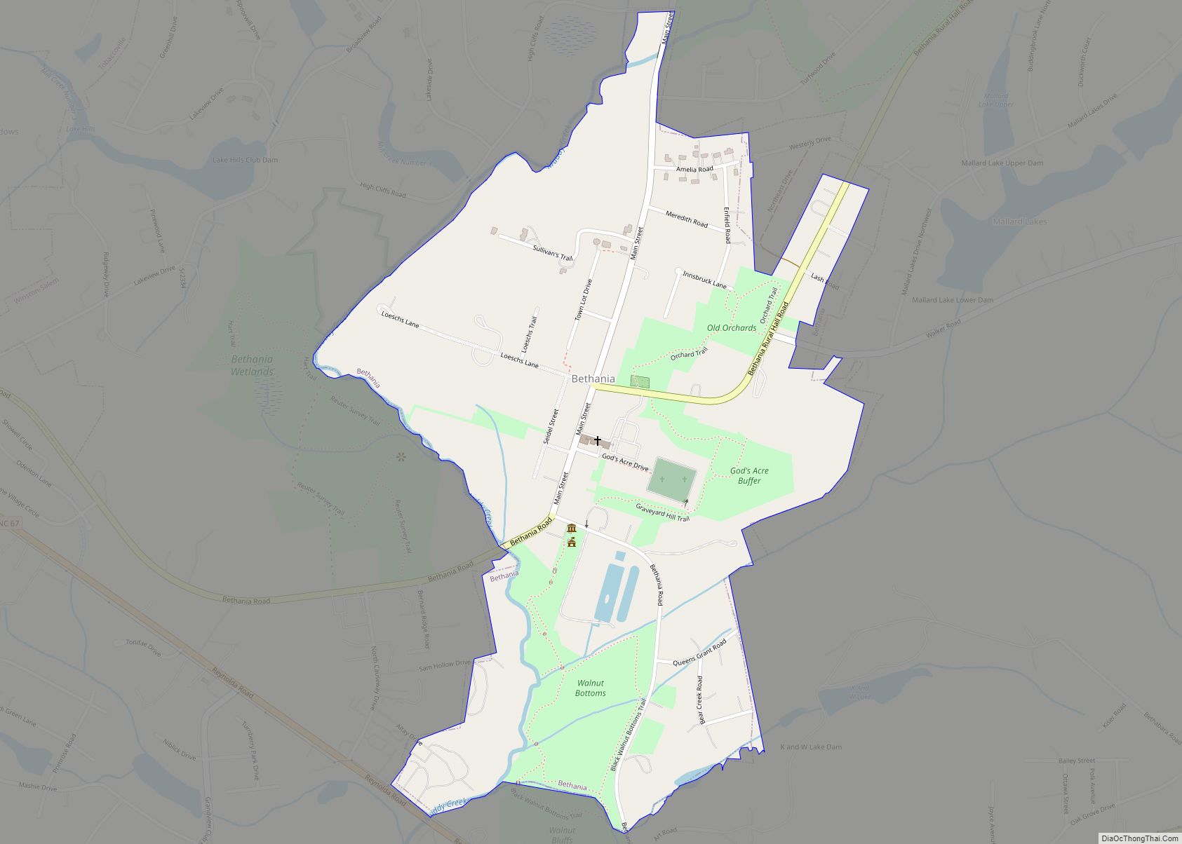
Bethania is the oldest municipality in Forsyth County, North Carolina, United States, and was most recently incorporated in 1995, upon the reactivation of the original 1838/1839 town charter. In 2009, Bethania celebrated the 250th anniversary of its establishment in 1759. As of the 2020 census, the town population was 341.
| Name: | Bethania town |
|---|---|
| LSAD Code: | 43 |
| LSAD Description: | town (suffix) |
| State: | North Carolina |
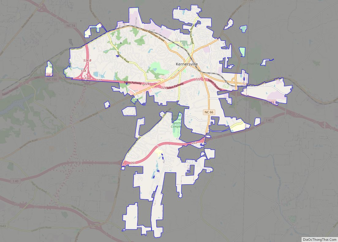
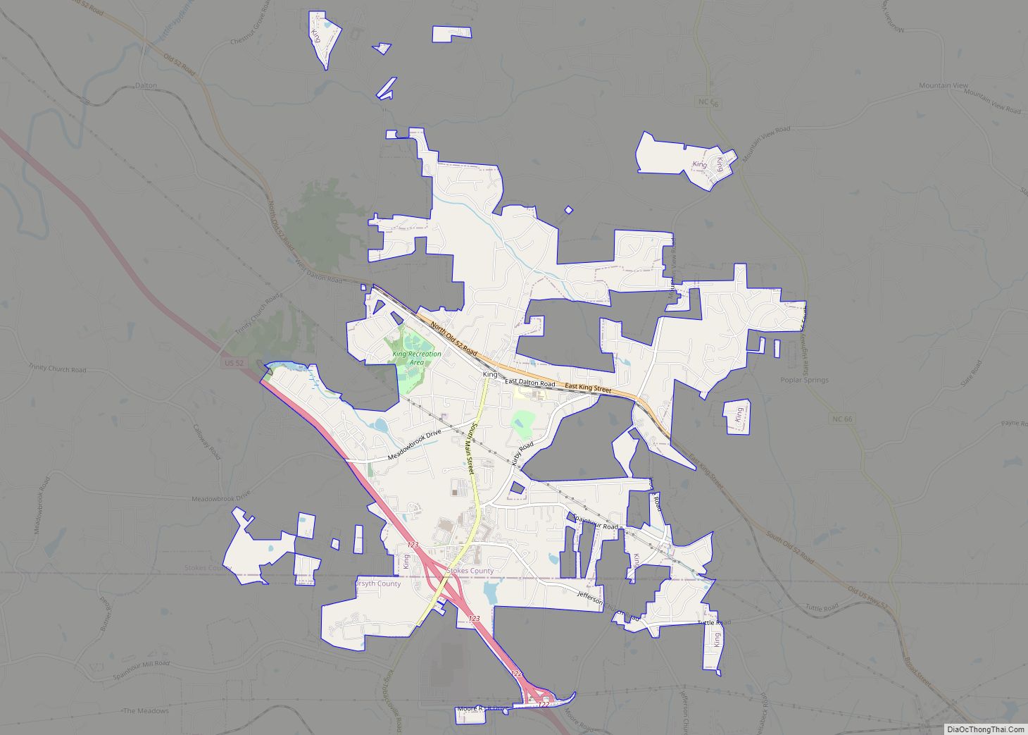
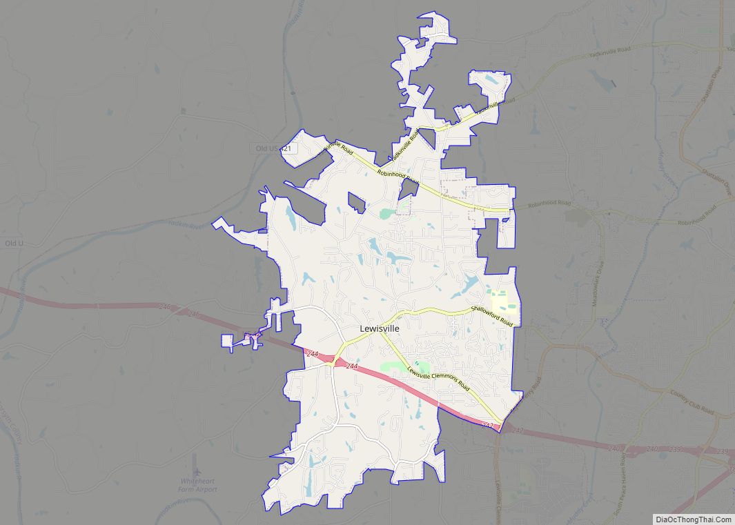
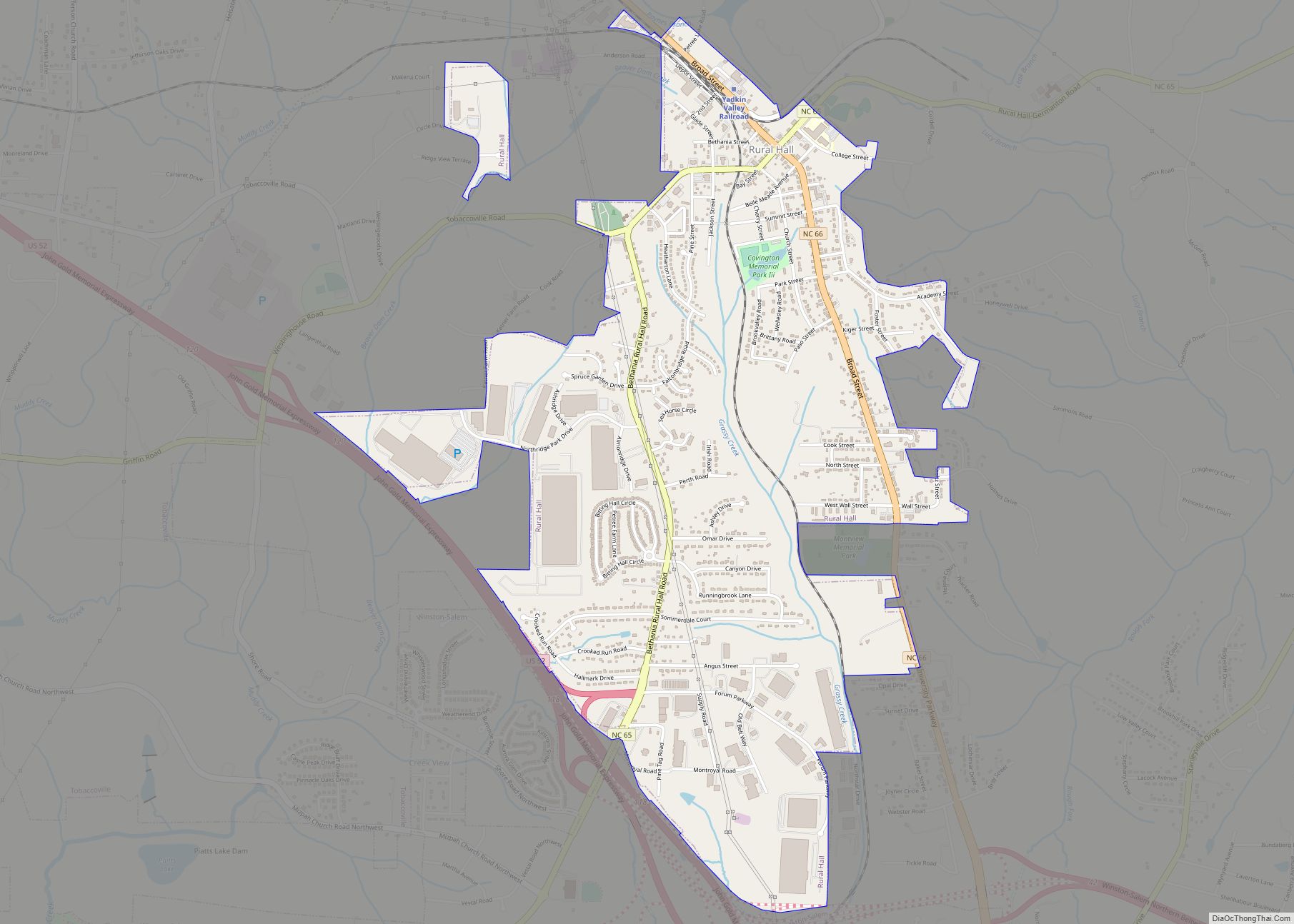
| County: | Forsyth County |
| Elevation: | 817 ft (249 m) |
| Total Area: | 0.68 sq mi (1.77 km²) |
| Land Area: | 0.68 sq mi (1.76 km²) |
| Water Area: | 0.01 sq mi (0.01 km²) |
| Total Population: | 344 |
| Population Density: | 506.63/sq mi (195.75/km²) |
| ZIP code: | 27010 |
| Area code: | 336 |
| FIPS code: | 3705340 |
| GNISfeature ID: | 1006108 |
| Website: | www.townofbethania.org |
Online Interactive Map
Click on ![]() to view map in "full screen" mode.
to view map in "full screen" mode.
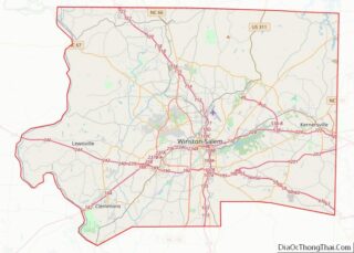
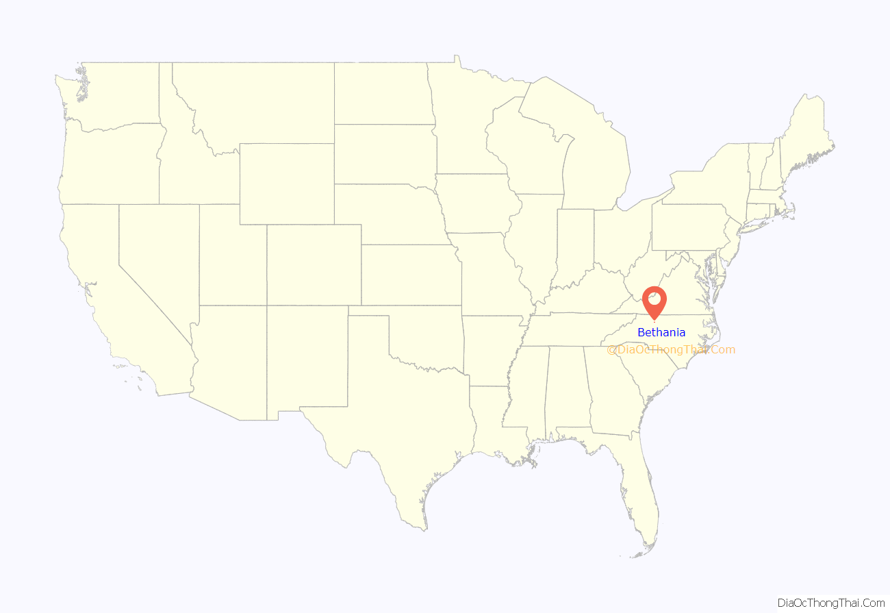
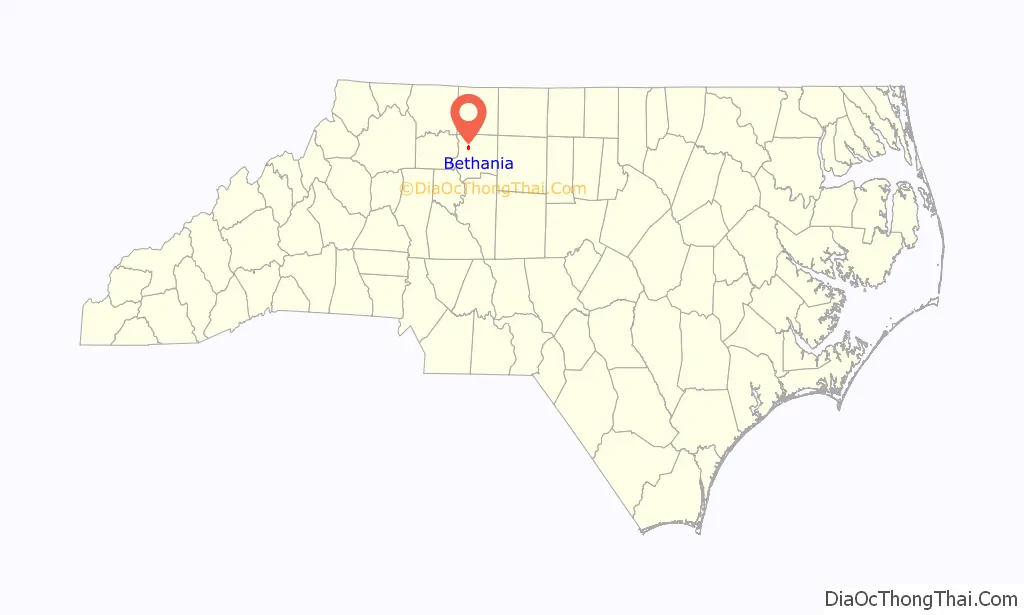
Bethania location map. Where is Bethania town?
History
The first planned Moravian settlement in North Carolina, Bethania exists as the only remaining independent, continuously active Moravian village in the southern United States, and is the only known existing Germanic-type linear agricultural village in the South. The 500-acre (2.0 km) Bethania National Historic Landmark district is the largest such district in Forsyth County. Bethania and its 18th- and 19th-century properties are listed on the National Register of Historic Places.
Bethania was founded 12 June 1759 by the Moravian Brethren of Wachovia as a congregational, agricultural, and trades community. Bethania was the first planned Moravian settlement in Wachovia, and members of a “Society”, under the care of the Bethania congregation, were permitted to reside in the village after July 1759. Today, Bethania’s eighteenth-century German-type linear agricultural village design remains visible and intact, and most town lots and roadways have remained in continuous use since 1759. The name “Bethania” is the German form of “Bethany”, the name of a village near Jerusalem recorded in the New Testament as the home of Mary, Martha and Lazarus, as well as that of Simon the Leper.
During the Revolutionary War, this town was for a time considered by locals not as “Bethania” but as “HauserTown” (pronounced Hooz-er) because of the significance of families with the last name Hauser that resided there. Mary Hauser was one of the first people buried in Bethania’s God’s Acre cemetery.
In March 2007, the town of Bethania opened a visitor center and museum, Historic Bethania, to welcome friends and guests, and to promote education and cultural resource preservation in the community. The center’s facilities include a relocated and restored Moravian farmstead home, the Wolff-Moser House, dating to ca. 1792, one of the earliest known surviving rural Moravian farmstead homes in North America. The Wolff-Moser House can be visited by the public during the center’s open hours. The visitor center, located at 5393 Ham Horton Lane, at the intersection of Main Street and Bethania Road, also serves as an orientation center for those wishing to explore the Bethania National Historic Landmark District. Visitors to the c. 1759 Bethania Historic District can obtain a tour map and additional information at the visitor center.
In addition to the Bethania Historic District, the Dr. Beverly Jones House, John Henry Kapp Farm, and Samuel B. Stauber Farm are listed on the National Register of Historic Places.
Bethania Mill and Village Shoppes, the only shopping center within the city limits, opened October 18, 2008, at the site of an old seed mill. The center contains a general store and plans to have a restaurant. They currently are renting out office space.
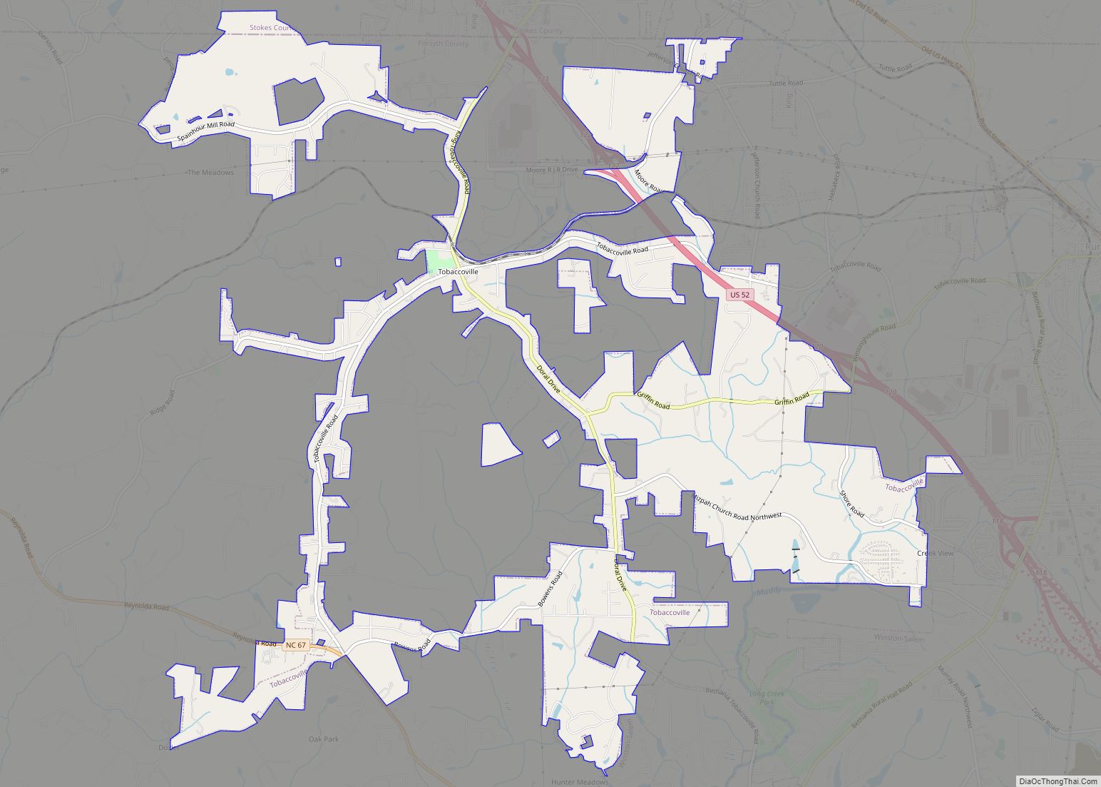
Bethania Road Map
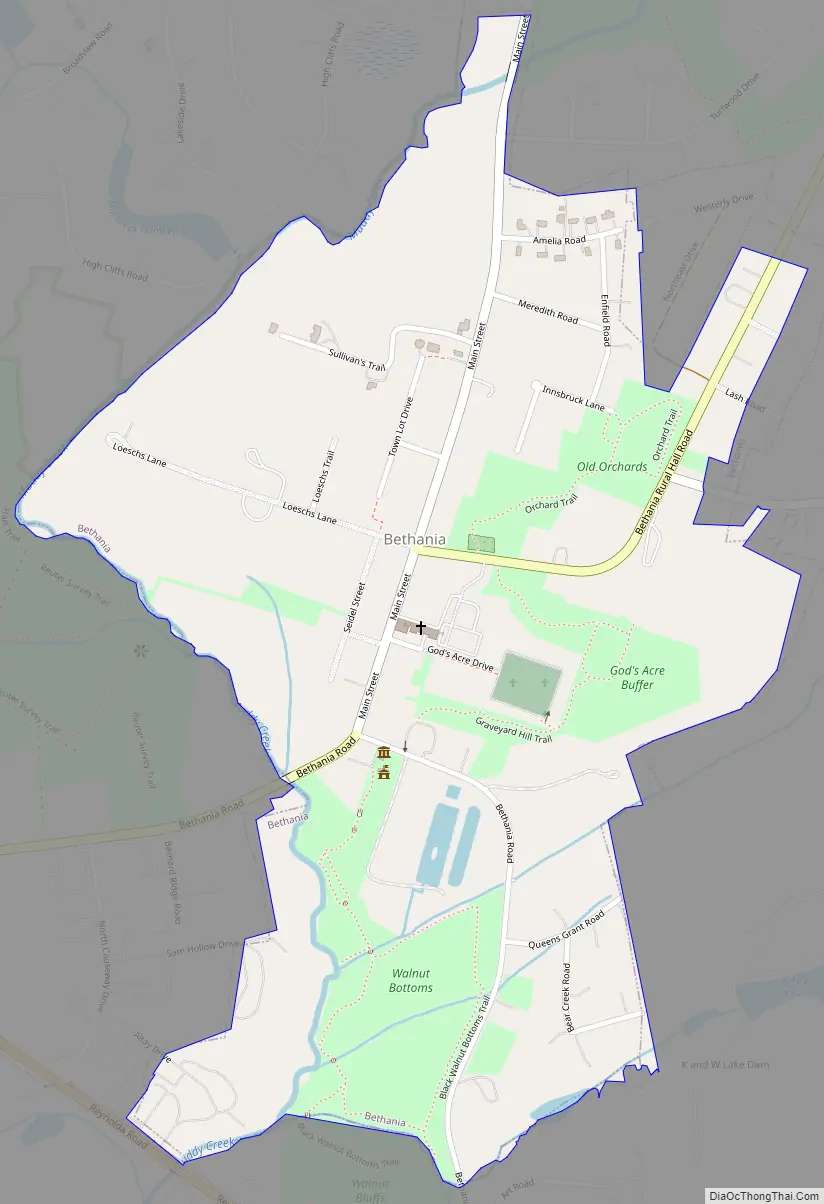
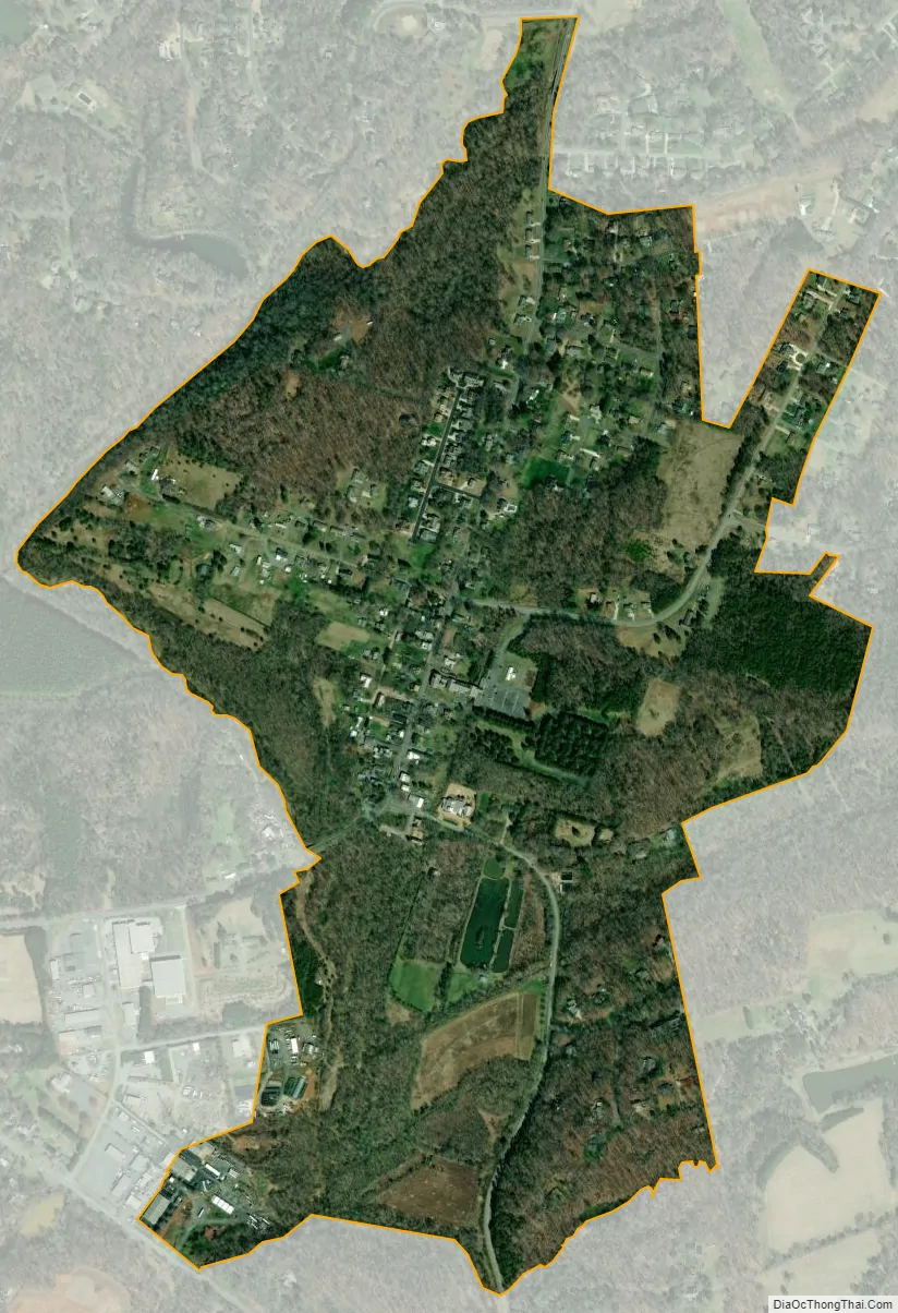
Bethania city Satellite Map
Geography
Bethania is located in northwestern Forsyth County at 36°11′4″N 80°20′5″W / 36.18444°N 80.33472°W / 36.18444; -80.33472 (36.184418, -80.334786). It is entirely surrounded by the city limits of Winston-Salem and is 10 miles (16 km) northwest of the city center.
According to the United States Census Bureau, the town has a total area of 0.69 square miles (1.8 km), of which 0.004 square miles (0.01 km), or 0.80%, is water.
See also
Map of North Carolina State and its subdivision:- Alamance
- Alexander
- Alleghany
- Anson
- Ashe
- Avery
- Beaufort
- Bertie
- Bladen
- Brunswick
- Buncombe
- Burke
- Cabarrus
- Caldwell
- Camden
- Carteret
- Caswell
- Catawba
- Chatham
- Cherokee
- Chowan
- Clay
- Cleveland
- Columbus
- Craven
- Cumberland
- Currituck
- Dare
- Davidson
- Davie
- Duplin
- Durham
- Edgecombe
- Forsyth
- Franklin
- Gaston
- Gates
- Graham
- Granville
- Greene
- Guilford
- Halifax
- Harnett
- Haywood
- Henderson
- Hertford
- Hoke
- Hyde
- Iredell
- Jackson
- Johnston
- Jones
- Lee
- Lenoir
- Lincoln
- Macon
- Madison
- Martin
- McDowell
- Mecklenburg
- Mitchell
- Montgomery
- Moore
- Nash
- New Hanover
- Northampton
- Onslow
- Orange
- Pamlico
- Pasquotank
- Pender
- Perquimans
- Person
- Pitt
- Polk
- Randolph
- Richmond
- Robeson
- Rockingham
- Rowan
- Rutherford
- Sampson
- Scotland
- Stanly
- Stokes
- Surry
- Swain
- Transylvania
- Tyrrell
- Union
- Vance
- Wake
- Warren
- Washington
- Watauga
- Wayne
- Wilkes
- Wilson
- Yadkin
- Yancey
- Alabama
- Alaska
- Arizona
- Arkansas
- California
- Colorado
- Connecticut
- Delaware
- District of Columbia
- Florida
- Georgia
- Hawaii
- Idaho
- Illinois
- Indiana
- Iowa
- Kansas
- Kentucky
- Louisiana
- Maine
- Maryland
- Massachusetts
- Michigan
- Minnesota
- Mississippi
- Missouri
- Montana
- Nebraska
- Nevada
- New Hampshire
- New Jersey
- New Mexico
- New York
- North Carolina
- North Dakota
- Ohio
- Oklahoma
- Oregon
- Pennsylvania
- Rhode Island
- South Carolina
- South Dakota
- Tennessee
- Texas
- Utah
- Vermont
- Virginia
- Washington
- West Virginia
- Wisconsin
- Wyoming