Biscoe is a town in Montgomery County, North Carolina, United States. The population was 1,700 at the 2010 census. The town is named after Henry Biscoe, an important customer of the local lumber business.
| Name: | Biscoe town |
|---|---|
| LSAD Code: | 43 |
| LSAD Description: | town (suffix) |
| State: | North Carolina |
| County: | Montgomery County |
| Elevation: | 614 ft (187 m) |
| Total Area: | 2.91 sq mi (7.54 km²) |
| Land Area: | 2.91 sq mi (7.54 km²) |
| Water Area: | 0.00 sq mi (0.00 km²) |
| Total Population: | 1,848 |
| Population Density: | 635.05/sq mi (245.19/km²) |
| ZIP code: | 27209 |
| FIPS code: | 3706000 |
| GNISfeature ID: | 1019189 |
| Website: | http://www.townofbiscoe.com/ |
Online Interactive Map
Click on ![]() to view map in "full screen" mode.
to view map in "full screen" mode.
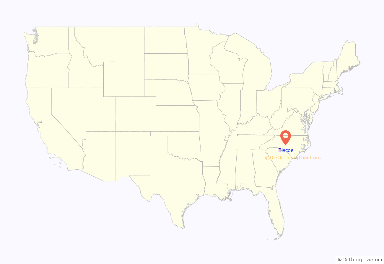
Biscoe location map. Where is Biscoe town?
History
The area was formerly called “Filo.” The current name was adopted in 1895.
Biscoe’s past was dependent on the railroad industry, and it was once an important repair center for railroad equipment. The Aberdeen and West End Railroad (owned by the Page family of Aberdeen, North Carolina) completed a branch to Star, North Carolina from Filo, NC (current Biscoe) in 1895. The A & W. E. R.R. was merged into the Aberdeen and Asheboro Railroad in 1897.
Biscoe was incorporated in 1901.
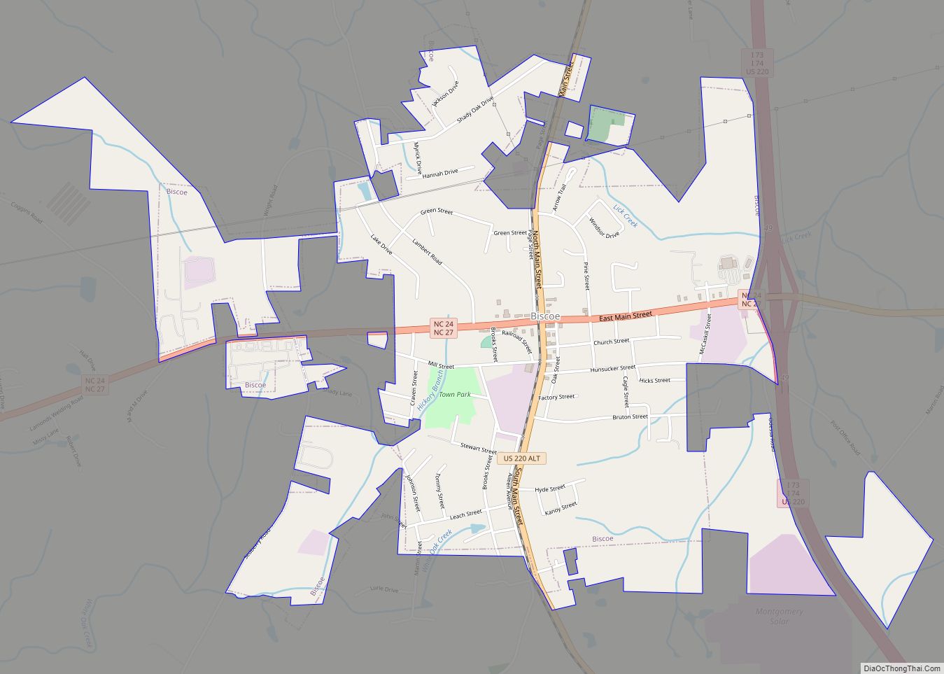
Biscoe Road Map
Biscoe city Satellite Map
Geography
Biscoe is located at 35°21′38″N 79°46′49″W / 35.36056°N 79.78028°W / 35.36056; -79.78028 (35.360450, -79.780278).
According to the United States Census Bureau, the town has a total area of 2.0 square miles (5.2 km), all land.
U.S. 220, I-73/74 and N.C. 24/27 all pass through Biscoe.
See also
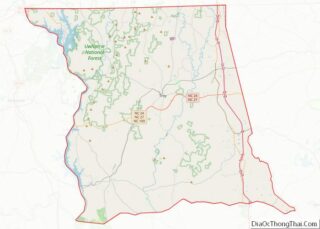
Map of North Carolina State and its subdivision:- Alamance
- Alexander
- Alleghany
- Anson
- Ashe
- Avery
- Beaufort
- Bertie
- Bladen
- Brunswick
- Buncombe
- Burke
- Cabarrus
- Caldwell
- Camden
- Carteret
- Caswell
- Catawba
- Chatham
- Cherokee
- Chowan
- Clay
- Cleveland
- Columbus
- Craven
- Cumberland
- Currituck
- Dare
- Davidson
- Davie
- Duplin
- Durham
- Edgecombe
- Forsyth
- Franklin
- Gaston
- Gates
- Graham
- Granville
- Greene
- Guilford
- Halifax
- Harnett
- Haywood
- Henderson
- Hertford
- Hoke
- Hyde
- Iredell
- Jackson
- Johnston
- Jones
- Lee
- Lenoir
- Lincoln
- Macon
- Madison
- Martin
- McDowell
- Mecklenburg
- Mitchell
- Montgomery
- Moore
- Nash
- New Hanover
- Northampton
- Onslow
- Orange
- Pamlico
- Pasquotank
- Pender
- Perquimans
- Person
- Pitt
- Polk
- Randolph
- Richmond
- Robeson
- Rockingham
- Rowan
- Rutherford
- Sampson
- Scotland
- Stanly
- Stokes
- Surry
- Swain
- Transylvania
- Tyrrell
- Union
- Vance
- Wake
- Warren
- Washington
- Watauga
- Wayne
- Wilkes
- Wilson
- Yadkin
- Yancey
- Alabama
- Alaska
- Arizona
- Arkansas
- California
- Colorado
- Connecticut
- Delaware
- District of Columbia
- Florida
- Georgia
- Hawaii
- Idaho
- Illinois
- Indiana
- Iowa
- Kansas
- Kentucky
- Louisiana
- Maine
- Maryland
- Massachusetts
- Michigan
- Minnesota
- Mississippi
- Missouri
- Montana
- Nebraska
- Nevada
- New Hampshire
- New Jersey
- New Mexico
- New York
- North Carolina
- North Dakota
- Ohio
- Oklahoma
- Oregon
- Pennsylvania
- Rhode Island
- South Carolina
- South Dakota
- Tennessee
- Texas
- Utah
- Vermont
- Virginia
- Washington
- West Virginia
- Wisconsin
- Wyoming
