Butner is a town in Granville County, North Carolina, United States. The population was 8,397 as of the 2020 census. Butner was managed by the state of North Carolina from 1947 through 2007.
| Name: | Butner town |
|---|---|
| LSAD Code: | 43 |
| LSAD Description: | town (suffix) |
| State: | North Carolina |
| County: | Granville County |
| Elevation: | 371 ft (113 m) |
| Total Area: | 14.05 sq mi (36.39 km²) |
| Land Area: | 14.03 sq mi (36.33 km²) |
| Water Area: | 0.03 sq mi (0.06 km²) |
| Total Population: | 8,397 |
| Population Density: | 598.67/sq mi (231.15/km²) |
| ZIP code: | 27509 |
| Area code: | 919 |
| FIPS code: | 3709360 |
| GNISfeature ID: | 1019443 |
| Website: | butnernc.org |
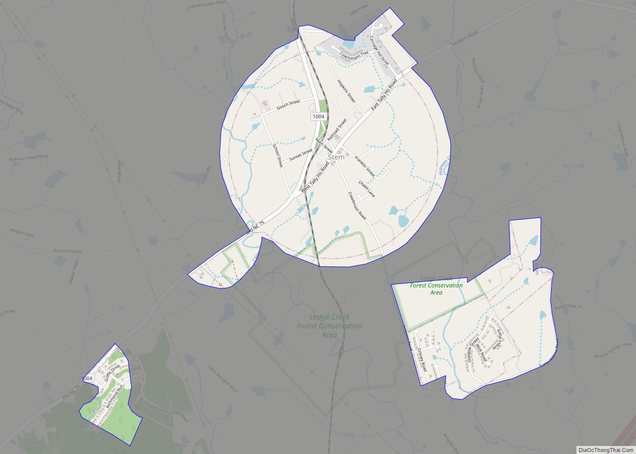
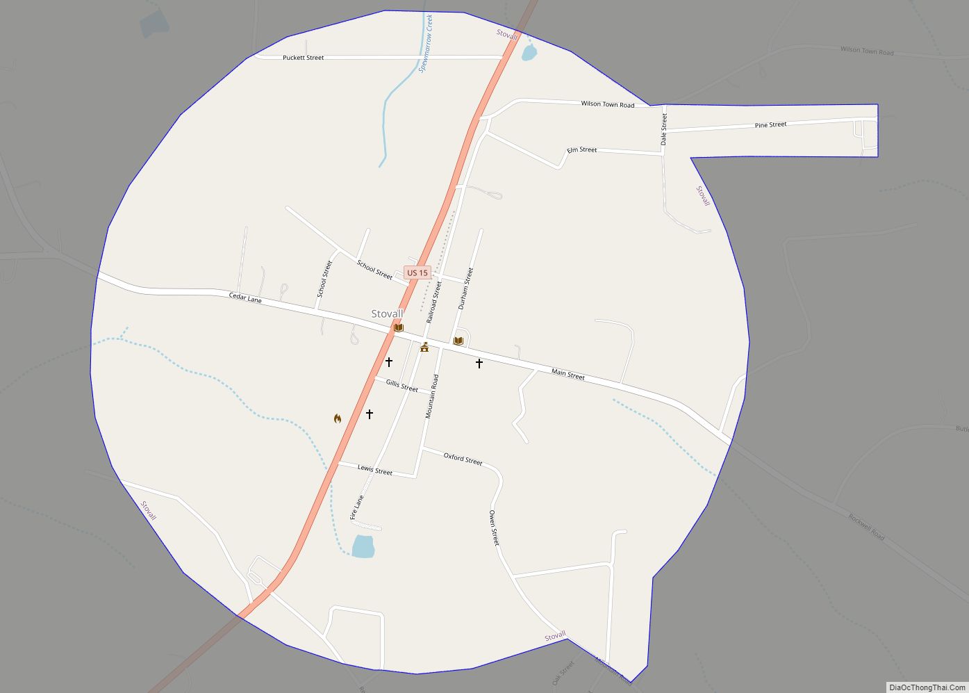
Online Interactive Map
Click on ![]() to view map in "full screen" mode.
to view map in "full screen" mode.
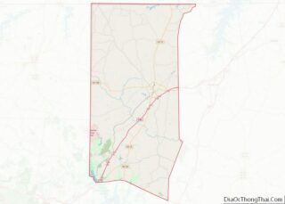
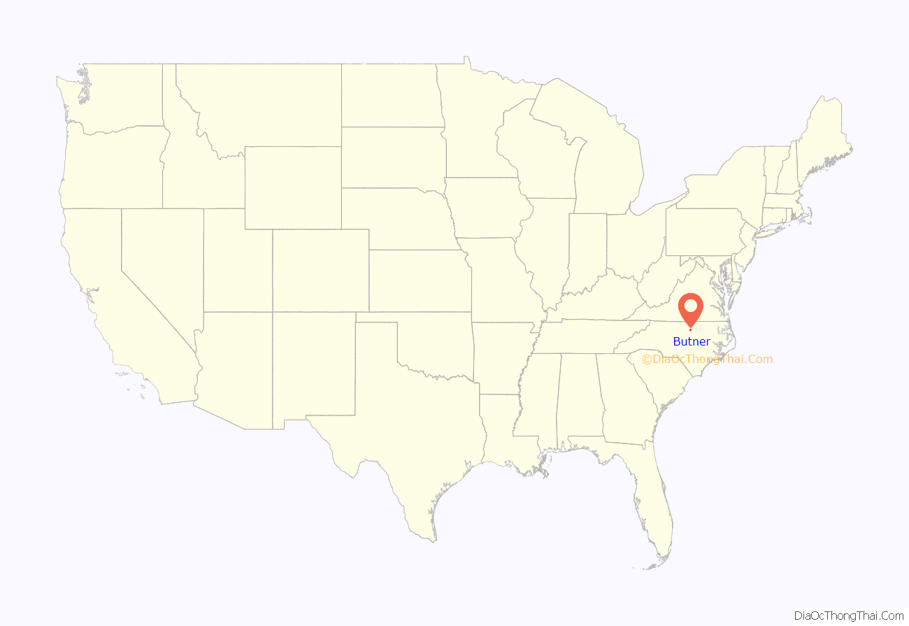
Butner location map. Where is Butner town?
History
A bill passed by the North Carolina General Assembly incorporating the town was signed by Gov. Mike Easley on July 27, 2007.
It is the former site of the U.S. Army’s Camp Butner, which was named for Major General Henry W. Butner (1875–1937), a North Carolina native. The area around Butner has several state and federal correctional institutions.
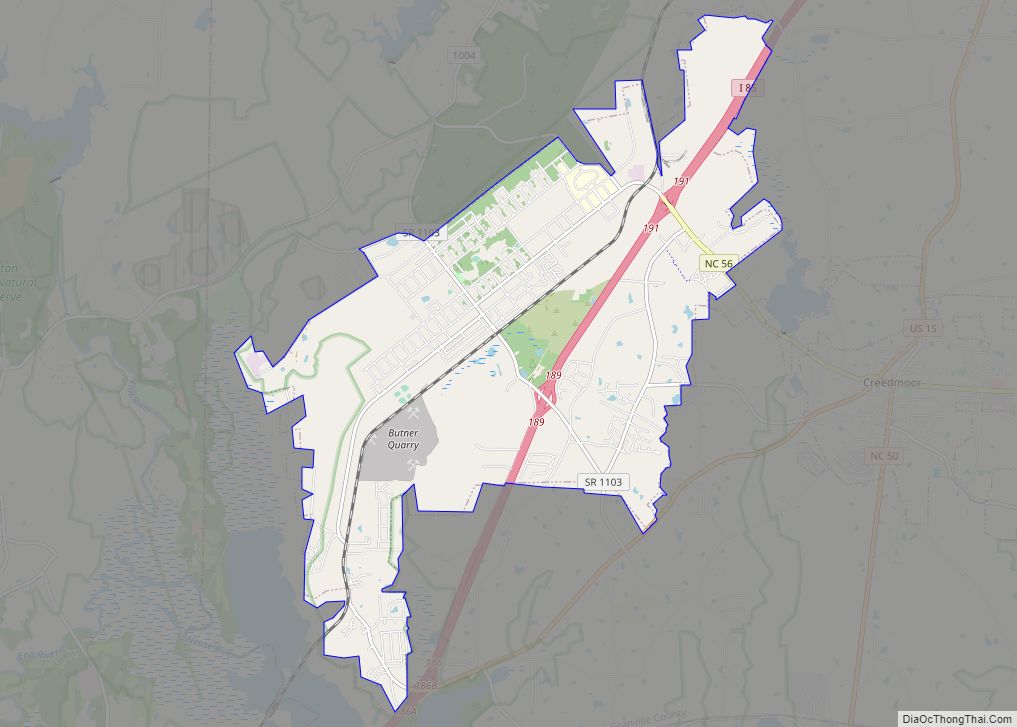
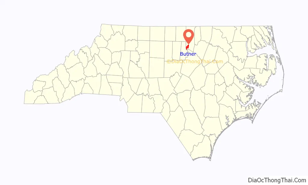
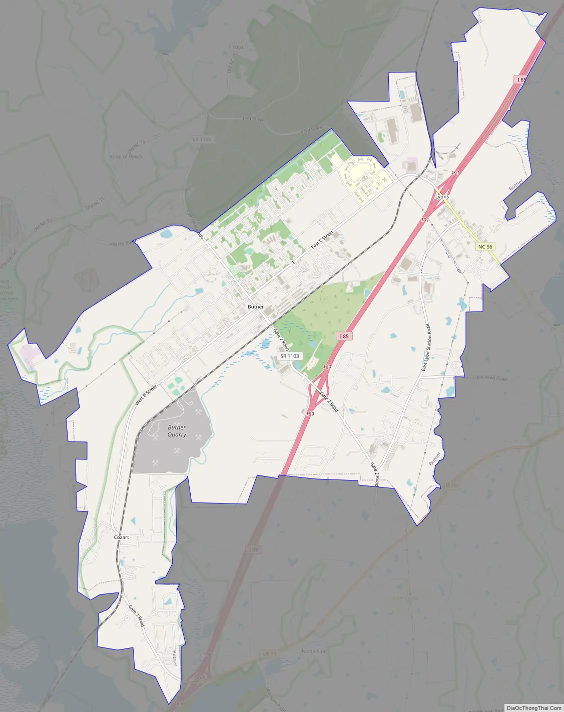
Butner Road Map
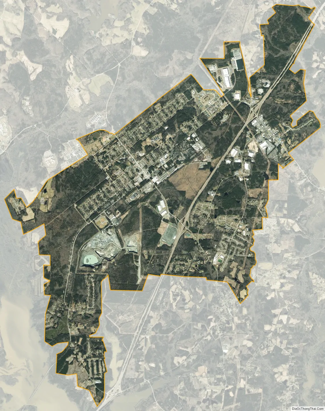
Butner city Satellite Map
Geography
Butner is located in southwestern Granville County at 36°8′18″N 78°45′32″W / 36.13833°N 78.75889°W / 36.13833; -78.75889 (36.138298, -78.758828). Interstate 85 passes through the town, southeast of the town center, with access from Exits 186, 189, and 191. I-85 leads northeast 16 miles (26 km) to Oxford, the Granville County seat, and southwest 13 miles (21 km) to Durham. Butner is bordered to the east by the city of Creedmoor.
According to the United States Census Bureau, the town has a total area of 13.9 square miles (36.1 km), of which 0.02 square miles (0.06 km), or 0.18%, is water.
See also
Map of North Carolina State and its subdivision:- Alamance
- Alexander
- Alleghany
- Anson
- Ashe
- Avery
- Beaufort
- Bertie
- Bladen
- Brunswick
- Buncombe
- Burke
- Cabarrus
- Caldwell
- Camden
- Carteret
- Caswell
- Catawba
- Chatham
- Cherokee
- Chowan
- Clay
- Cleveland
- Columbus
- Craven
- Cumberland
- Currituck
- Dare
- Davidson
- Davie
- Duplin
- Durham
- Edgecombe
- Forsyth
- Franklin
- Gaston
- Gates
- Graham
- Granville
- Greene
- Guilford
- Halifax
- Harnett
- Haywood
- Henderson
- Hertford
- Hoke
- Hyde
- Iredell
- Jackson
- Johnston
- Jones
- Lee
- Lenoir
- Lincoln
- Macon
- Madison
- Martin
- McDowell
- Mecklenburg
- Mitchell
- Montgomery
- Moore
- Nash
- New Hanover
- Northampton
- Onslow
- Orange
- Pamlico
- Pasquotank
- Pender
- Perquimans
- Person
- Pitt
- Polk
- Randolph
- Richmond
- Robeson
- Rockingham
- Rowan
- Rutherford
- Sampson
- Scotland
- Stanly
- Stokes
- Surry
- Swain
- Transylvania
- Tyrrell
- Union
- Vance
- Wake
- Warren
- Washington
- Watauga
- Wayne
- Wilkes
- Wilson
- Yadkin
- Yancey
- Alabama
- Alaska
- Arizona
- Arkansas
- California
- Colorado
- Connecticut
- Delaware
- District of Columbia
- Florida
- Georgia
- Hawaii
- Idaho
- Illinois
- Indiana
- Iowa
- Kansas
- Kentucky
- Louisiana
- Maine
- Maryland
- Massachusetts
- Michigan
- Minnesota
- Mississippi
- Missouri
- Montana
- Nebraska
- Nevada
- New Hampshire
- New Jersey
- New Mexico
- New York
- North Carolina
- North Dakota
- Ohio
- Oklahoma
- Oregon
- Pennsylvania
- Rhode Island
- South Carolina
- South Dakota
- Tennessee
- Texas
- Utah
- Vermont
- Virginia
- Washington
- West Virginia
- Wisconsin
- Wyoming