Oxford is a town in Granville County, North Carolina, United States, with a population of 8,628 as of the 2020 census. It is the county seat of Granville County.
| Name: | Oxford city |
|---|---|
| LSAD Code: | 25 |
| LSAD Description: | city (suffix) |
| State: | North Carolina |
| County: | Granville County |
| Elevation: | 479 ft (146 m) |
| Total Area: | 6.24 sq mi (16.15 km²) |
| Land Area: | 6.23 sq mi (16.14 km²) |
| Water Area: | 0.00 sq mi (0.01 km²) |
| Total Population: | 8,628 |
| Population Density: | 1,384.47/sq mi (534.54/km²) |
| ZIP code: | 27565 |
| Area code: | 919 |
| FIPS code: | 3749800 |
| GNISfeature ID: | 1021773 |
| Website: | www.oxfordnc.org |
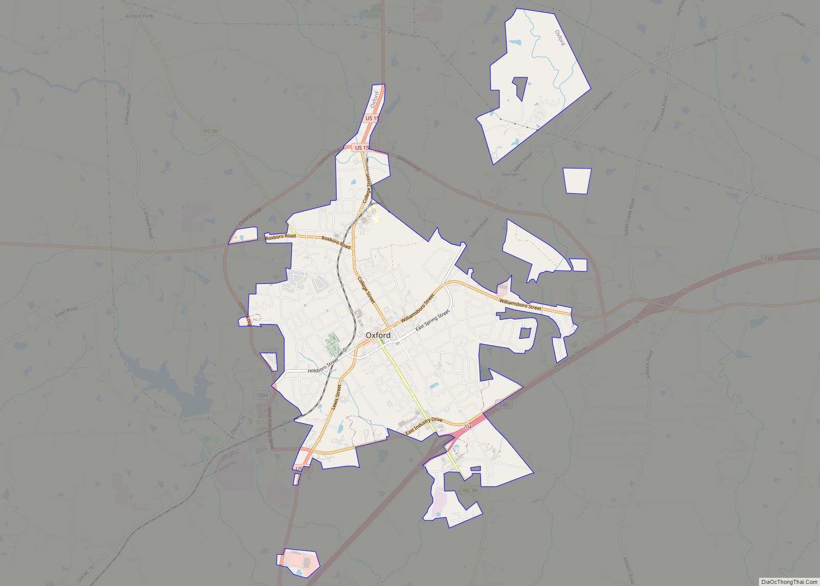
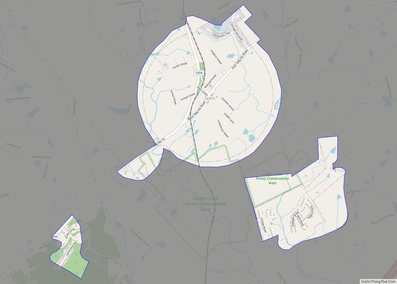
Online Interactive Map
Click on ![]() to view map in "full screen" mode.
to view map in "full screen" mode.
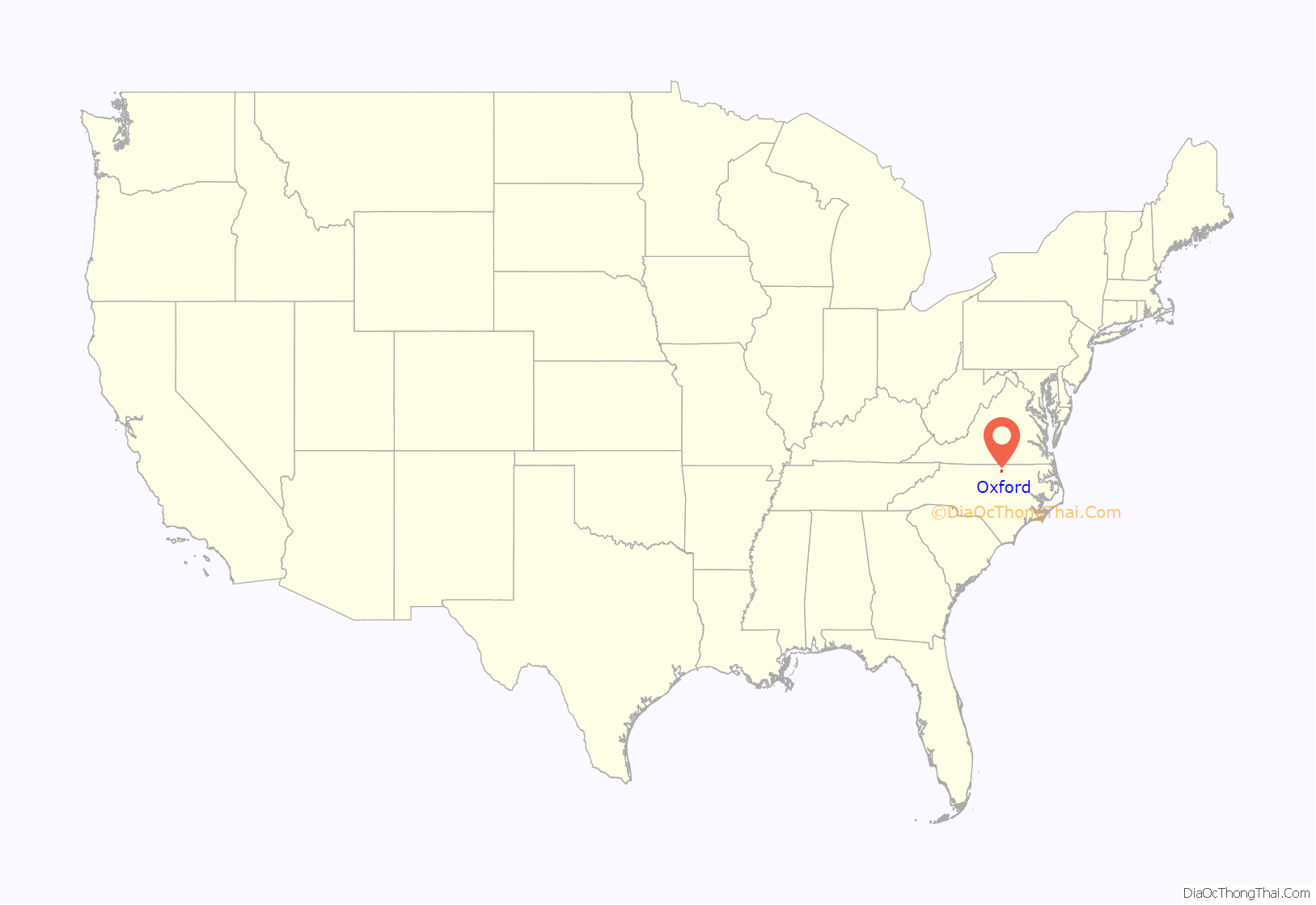
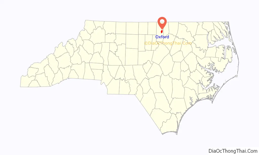
Oxford location map. Where is Oxford city?
History
The town’s history dates to 1761, when local legislator Samuel Benton built a plantation home and called it “Oxford.” The legislature ordered the area around his plantation to be the seat of Granville County. The town was not incorporated until 1816.
The first Masonic orphanage for children in the United States was built in Oxford. It was originally established as St. John’s College in 1858. The college ceased operations shortly after opening, however. In 1872 the community decided that the property should be repurposed to educate disadvantaged populations. In December 1873 the first residents were admitted to the Oxford Orphans Asylum, which is today known as the “Masonic Home for Children at Oxford.”
In 1851 James H. Horner established Horner Military School, which enrolled many young men from New York, Pennsylvania, Virginia, South Carolina and other states. Many of the students went on to become leaders in the United States government, such as James Crawford Biggs, Solicitor General under President Franklin D. Roosevelt at the inception of the New Deal. After the barracks were destroyed by a fire in 1913, the school relocated to Charlotte, North Carolina.
The Oxford Female College was established in 1850 by North Carolina Baptists. After suffering financial difficulties, the college was sold and became a private educational institution renamed “Oxford Female Seminary.” In 1880 F. P. Hobgood took over leadership of the school, and it gained popularity under his leadership. The school closed in 1925, following Hobgood’s death the previous year.
In 1883 the state legislature established the Colored Orphan Asylum in Oxford. Henry Plummer Cheatham, a former U.S. congressman (1889-1893), was appointed as superintendent in the early 1900s and led the institution for 28 years.
In 1970, Henry Marrow was shot and killed in Oxford. The killing resulted in a racial protest. The events were chronicled by Timothy Tyson in the book Blood Done Sign My Name (2004) and a 2010 movie with the same name.
A Confederate statue was erected in 1909 by the Granville Grays United Daughters of the Confederacy at a cost of $3000.00 and valued in 2009 at $1,327,791.62. The monument was erected in the courthouse square facing away from the courthouse. The base, constructed of granite from Warren County, is 27 feet (8.2 m) tall, and the bronze statue is 7 feet (2.1 m) tall. The monument, a memorial to the Confederate veterans of Granville County that served in the Civil War in the Granville Grays Company D, 12th Regiment, was dedicated October 30, 1909. The statue had not arrived in time but the ceremony continued and the statue was placed at a later date.
Following the 1970 Oxford protests, the city moved the monument from the courthouse square to a site in front of the Richard H. Thornton Library. Since 2009, some activists had suggested moving it to an historic graveyard located down the street. In June 2020 the statue was removed and is currently in storage.
The Central Orphanage, Granville County Courthouse, Joseph B. Littlejohn House, Locust Lawn, Oxford Historic District, Paschall-Daniel House, Archibald Taylor Plantation House, and Thorndale are listed on the National Register of Historic Places.
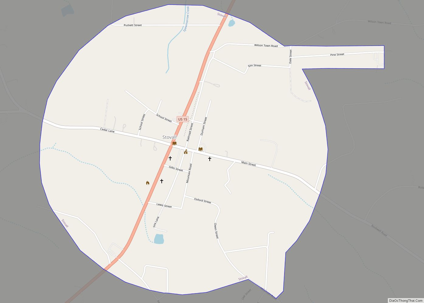
Oxford Road Map
Oxford city Satellite Map
Geography
Interstate 85 crosses the southeastern edge of the town, with access from Exits 202, 204, and 206; I-85 leads southwest 29 miles (47 km) to Durham and northeast 100 miles (160 km) to Petersburg, Virginia. U.S. Route 15 passes through the center of Oxford as Lewis Street, Hillsboro Street, and College Street, leading southwest 14 miles (23 km) to Creedmoor and north 23 miles (37 km) to Clarksville, Virginia. U.S. Route 158 bypasses Oxford on the northern side, leading east 12 miles (19 km) to Henderson and west 25 miles (40 km) to Roxboro.
According to the United States Census Bureau, Oxford has a total area of 6.1 square miles (15.7 km), all land.
Oxford contains three voting precincts in Granville County: Credle, East Oxford, and South Oxford.
See also
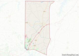
Map of North Carolina State and its subdivision:- Alamance
- Alexander
- Alleghany
- Anson
- Ashe
- Avery
- Beaufort
- Bertie
- Bladen
- Brunswick
- Buncombe
- Burke
- Cabarrus
- Caldwell
- Camden
- Carteret
- Caswell
- Catawba
- Chatham
- Cherokee
- Chowan
- Clay
- Cleveland
- Columbus
- Craven
- Cumberland
- Currituck
- Dare
- Davidson
- Davie
- Duplin
- Durham
- Edgecombe
- Forsyth
- Franklin
- Gaston
- Gates
- Graham
- Granville
- Greene
- Guilford
- Halifax
- Harnett
- Haywood
- Henderson
- Hertford
- Hoke
- Hyde
- Iredell
- Jackson
- Johnston
- Jones
- Lee
- Lenoir
- Lincoln
- Macon
- Madison
- Martin
- McDowell
- Mecklenburg
- Mitchell
- Montgomery
- Moore
- Nash
- New Hanover
- Northampton
- Onslow
- Orange
- Pamlico
- Pasquotank
- Pender
- Perquimans
- Person
- Pitt
- Polk
- Randolph
- Richmond
- Robeson
- Rockingham
- Rowan
- Rutherford
- Sampson
- Scotland
- Stanly
- Stokes
- Surry
- Swain
- Transylvania
- Tyrrell
- Union
- Vance
- Wake
- Warren
- Washington
- Watauga
- Wayne
- Wilkes
- Wilson
- Yadkin
- Yancey
- Alabama
- Alaska
- Arizona
- Arkansas
- California
- Colorado
- Connecticut
- Delaware
- District of Columbia
- Florida
- Georgia
- Hawaii
- Idaho
- Illinois
- Indiana
- Iowa
- Kansas
- Kentucky
- Louisiana
- Maine
- Maryland
- Massachusetts
- Michigan
- Minnesota
- Mississippi
- Missouri
- Montana
- Nebraska
- Nevada
- New Hampshire
- New Jersey
- New Mexico
- New York
- North Carolina
- North Dakota
- Ohio
- Oklahoma
- Oregon
- Pennsylvania
- Rhode Island
- South Carolina
- South Dakota
- Tennessee
- Texas
- Utah
- Vermont
- Virginia
- Washington
- West Virginia
- Wisconsin
- Wyoming