Carrboro is a town in Orange County in the U.S. state of North Carolina. The population was 21,295 at the 2020 census. The town, which is part of the Raleigh-Durham-Chapel Hill combined statistical area, was named after North Carolina industrialist Julian Shakespeare Carr (who never lived in Carrboro).
Located directly west of Chapel Hill, home of the University of North Carolina’s flagship campus, Carrboro has a reputation as one of the most progressive communities in the Southeastern United States. It was the first municipality in North Carolina to elect an openly gay mayor (Michael R. Nelson in 1995) and the first municipality in the state to grant domestic-partner benefits to same-sex couples. In October 2002, Carrboro was among the first municipalities in the South to adopt resolutions opposing the Iraq War and the USA PATRIOT Act.
| Name: | Carrboro town |
|---|---|
| LSAD Code: | 43 |
| LSAD Description: | town (suffix) |
| State: | North Carolina |
| County: | Orange County |
| Incorporated: | 1911 |
| Elevation: | 463 ft (141 m) |
| Total Area: | 6.51 sq mi (16.85 km²) |
| Land Area: | 6.47 sq mi (16.77 km²) |
| Water Area: | 0.03 sq mi (0.08 km²) |
| Total Population: | 21,295 |
| Population Density: | 3,288.80/sq mi (1,269.73/km²) |
| ZIP code: | 27510 |
| Area code: | 919 |
| FIPS code: | 3710620 |
| GNISfeature ID: | 1019538 |
| Website: | townofcarrboro.org |
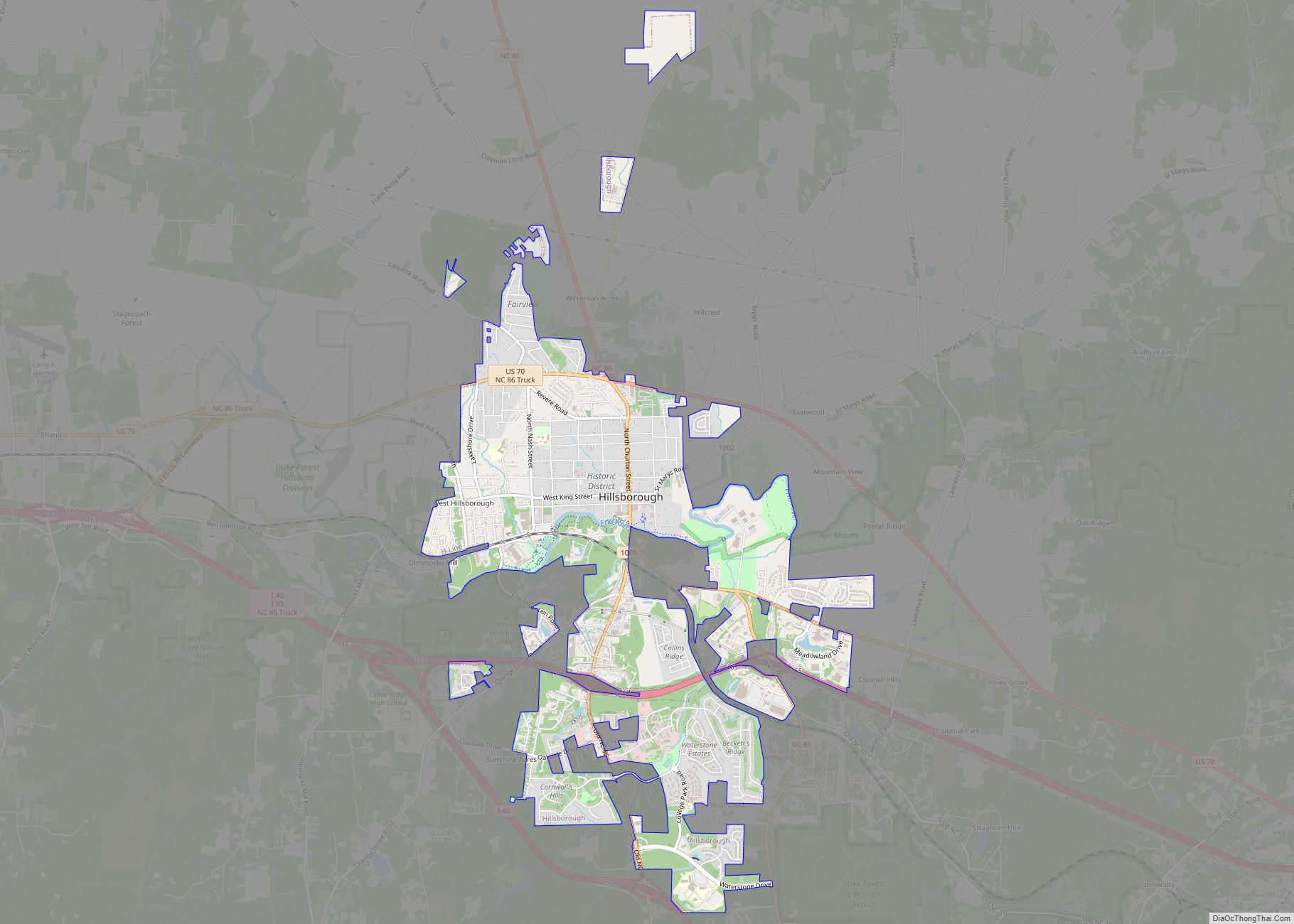
Online Interactive Map
Click on ![]() to view map in "full screen" mode.
to view map in "full screen" mode.
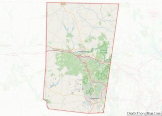
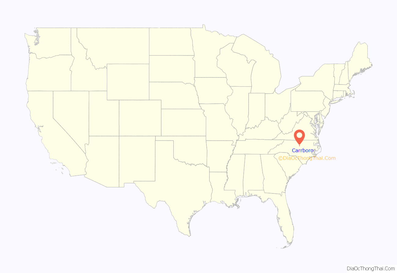
Carrboro location map. Where is Carrboro town?

History
The history of Carrboro is similar to the history of many mill towns in North Carolina and largely parallels the histories of the State University Railroad and the Alberta Cotton Mill. Located just west of Chapel Hill, Carrboro was originally known as West End. It was settled in 1882 near the terminus “in a vacant field” of the 10.2 miles (16.4 km) State University Railroad spur from University Station in Glenn, North Carolina. (State law required that the railway be at least 1 mile (1.6 km) from the university campus “to guard against possible damage to student morals and habits of study,” or as it was more cynically put, “to discourage students from leaving on the weekends and spending their money elsewhere.) Settlement in West End increased after 1898 when Thomas F. Lloyd of Chapel Hill built a steam-powered grist mill near the depot. This would become the Alberta Cotton Mill, and in 1900 the town briefly called itself Lloydville in his honor.
Durham businessman Julian Shakespeare Carr bought the mill and other nearby buildings in 1909, adding them to the chain of mills that became Durham Hosiery Mills. In 1911, West End was incorporated and named Venable in honor of chemistry professor and University of North Carolina president Francis Preston Venable, but only two years later was renamed Carrboro, after Carr provided electric power for the community and expanded the mill. In addition to the university and the textile mills, the railroad depot in Carrboro also served the local lumber industry, and in the 1920s and 1930s Carrboro became a major hub in the hardwood cross-tie market.
A 1920s building boom in Carrboro sparked by a fire in the downtown business district ended as business at the Durham Hosiery Mills declined towards the end of the decade. The Great Depression also took an economic toll and in 1930 the company closed Mill No. 4, the original Alberta Cotton Mill. Passenger service on the train line ended in 1936. In 1938 Durham Hosiery Mills closed Mill No. 7, across Main Street from Mill No. 4, and ceased operations altogether.
“Robert ‘Bob’ Drakeford, the town’s first and only black mayor, elected in 1977, recalled when Carrboro was a sundown town, where people of color knew not to be out after dark.”
During World War II, Mill No. 7 became the site of a munitions factory. After the war, Pacific Mills bought both Mills No. 4 and 7 and operated them as Carrboro Woolen Mills. When Pacific Mills closed in the mid-1960s – the final activity at the mill was sorting and shipping BVD underwear – Carrboro was no longer able to depend upon the textile industry to sustain itself. The University of North Carolina and other businesses in the area were growing rapidly and provided work in a wide range of occupations and locations.
The mill remained abandoned for nearly a decade and changed hands several times. In 1975 the owner, with the assent of the Carrboro Board of Aldermen, intended to have it demolished. A community petition and fund-raising effort provided for its restoration as Carr Mill Mall. It has since grown into a bustling hub of activity, hosting many businesses such as Weaver Street Market.
In addition to the Alberta Mill Complex, the Carrboro Commercial Historic District, Thomas and Mary Hogan House, and Thomas F. Lloyd Historic District are listed on the National Register of Historic Places.
The name Carrboro
Carrboro was named for Julian Carr, a UNC alumnus, trustee, honorary degree recipient, industrialist, and philanthropist. He was also a white supremacist, opposed black suffrage, thoroughly endorsed the “Lost Cause” interpretation of the Civil War, and defended the Ku Klux Klan and lynchings. A 2011 letter to the University of North Carolina at Chapel Hill student newspaper, the Daily Tar Heel, called attention to Carr’s remarks at the dedication of the Silent Sam monument on the University of North Carolina campus. The following passage, quoted in the letter, has become locally famous:
As a result of this publication, a petition to change the town’s name arose, and former mayor Jim Porto in 2016 asked the Board of Aldermen to rename the town. According to Alderwoman Jacquie Gist, “Changing Carrboro’s name is not a realistic option”. A name change would require legislative approval, and according to former mayor Mark Chilton, “You change it to something besides Carrboro, you’re really asking to be interfered with by the state legislature, and it won’t be for the best.” In 2019, Carrboro erected a truth plaque, distancing the town from the values and actions of Julian Carr.
The Carrboro Board of Aldermen passed a resolution in 2017 calling for the removal of Silent Sam.
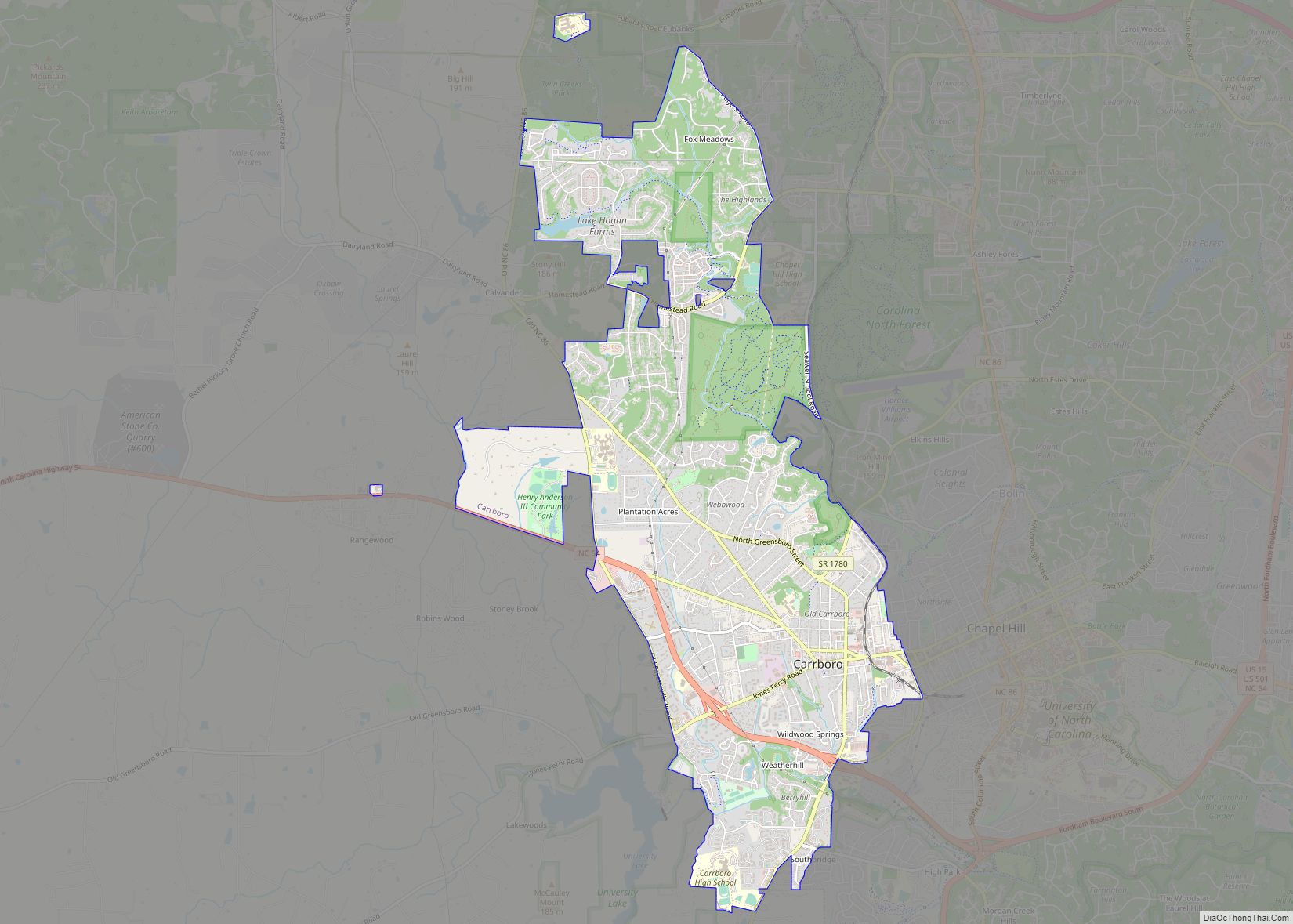
Carrboro Road Map
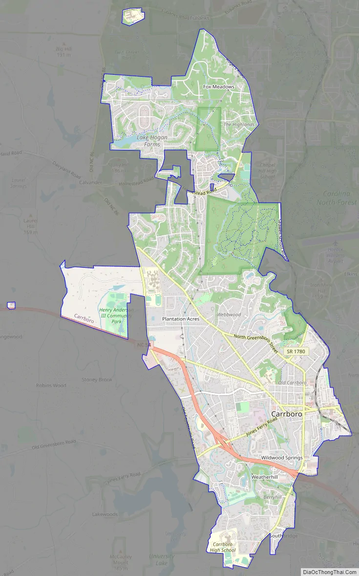
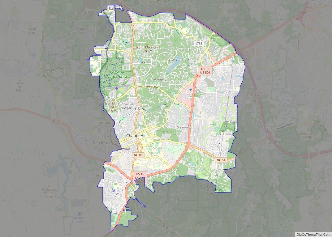
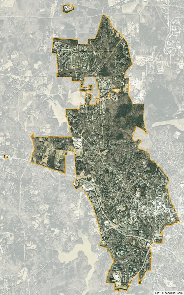
Carrboro city Satellite Map
Geography
Carrboro is located at 35°55′14″N 79°5′2″W / 35.92056°N 79.08389°W / 35.92056; -79.08389 (35.920422, -79.083933).
According to the US Census Bureau, the town has a total area of 6.5 square miles (16.8 km), of which 6.4 square miles (16.7 km) is land and 0.03 square miles (0.08 km) is water.
Carrboro’s 27510 zip code covers the town’s core, and is an enclave surrounded on all sides by Chapel Hill’s 27516 zip code, which also covers the outer areas of Carrboro.
Climate
Carrboro typically has a North American humid subtropical climate. Summer conditions are hot and humid, with daily average high temperatures of 85 °F (29 °C) and higher. Winter temperatures tend to remain above or well above freezing, though snowfall does happen and occasional snow and ice storms are not unusual. The average high temperature in July, the hottest month of the year, is 89 °F (32 °C), and the average high temperature in January, the coldest month, is 49 °F (9 °C). Average monthly precipitation ranges from 3.2 to 4.5 inches (8.1 to 11.4 cm), with the heaviest precipitation occurring during the summer months.
See also
Map of North Carolina State and its subdivision:- Alamance
- Alexander
- Alleghany
- Anson
- Ashe
- Avery
- Beaufort
- Bertie
- Bladen
- Brunswick
- Buncombe
- Burke
- Cabarrus
- Caldwell
- Camden
- Carteret
- Caswell
- Catawba
- Chatham
- Cherokee
- Chowan
- Clay
- Cleveland
- Columbus
- Craven
- Cumberland
- Currituck
- Dare
- Davidson
- Davie
- Duplin
- Durham
- Edgecombe
- Forsyth
- Franklin
- Gaston
- Gates
- Graham
- Granville
- Greene
- Guilford
- Halifax
- Harnett
- Haywood
- Henderson
- Hertford
- Hoke
- Hyde
- Iredell
- Jackson
- Johnston
- Jones
- Lee
- Lenoir
- Lincoln
- Macon
- Madison
- Martin
- McDowell
- Mecklenburg
- Mitchell
- Montgomery
- Moore
- Nash
- New Hanover
- Northampton
- Onslow
- Orange
- Pamlico
- Pasquotank
- Pender
- Perquimans
- Person
- Pitt
- Polk
- Randolph
- Richmond
- Robeson
- Rockingham
- Rowan
- Rutherford
- Sampson
- Scotland
- Stanly
- Stokes
- Surry
- Swain
- Transylvania
- Tyrrell
- Union
- Vance
- Wake
- Warren
- Washington
- Watauga
- Wayne
- Wilkes
- Wilson
- Yadkin
- Yancey
- Alabama
- Alaska
- Arizona
- Arkansas
- California
- Colorado
- Connecticut
- Delaware
- District of Columbia
- Florida
- Georgia
- Hawaii
- Idaho
- Illinois
- Indiana
- Iowa
- Kansas
- Kentucky
- Louisiana
- Maine
- Maryland
- Massachusetts
- Michigan
- Minnesota
- Mississippi
- Missouri
- Montana
- Nebraska
- Nevada
- New Hampshire
- New Jersey
- New Mexico
- New York
- North Carolina
- North Dakota
- Ohio
- Oklahoma
- Oregon
- Pennsylvania
- Rhode Island
- South Carolina
- South Dakota
- Tennessee
- Texas
- Utah
- Vermont
- Virginia
- Washington
- West Virginia
- Wisconsin
- Wyoming