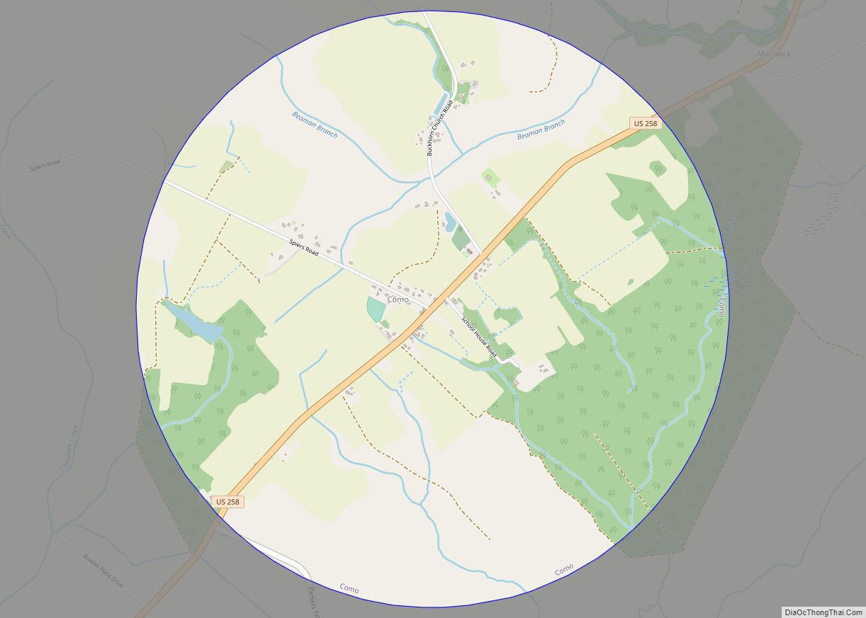
Como is a town in Hertford County, North Carolina, United States. The population was 91 at the 2010 census.
| Name: | Como town |
|---|---|
| LSAD Code: | 43 |
| LSAD Description: | town (suffix) |
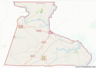
| State: | North Carolina |
| County: | Hertford County |
| Elevation: | 75 ft (23 m) |
| Total Area: | 3.15 sq mi (8.17 km²) |
| Land Area: | 3.15 sq mi (8.15 km²) |
| Water Area: | 0.01 sq mi (0.02 km²) |
| Total Population: | 67 |
| Population Density: | 21.30/sq mi (8.22/km²) |
| ZIP code: | 27818 |
| Area code: | 252 |
| FIPS code: | 3714060 |
| GNISfeature ID: | 1025253 |
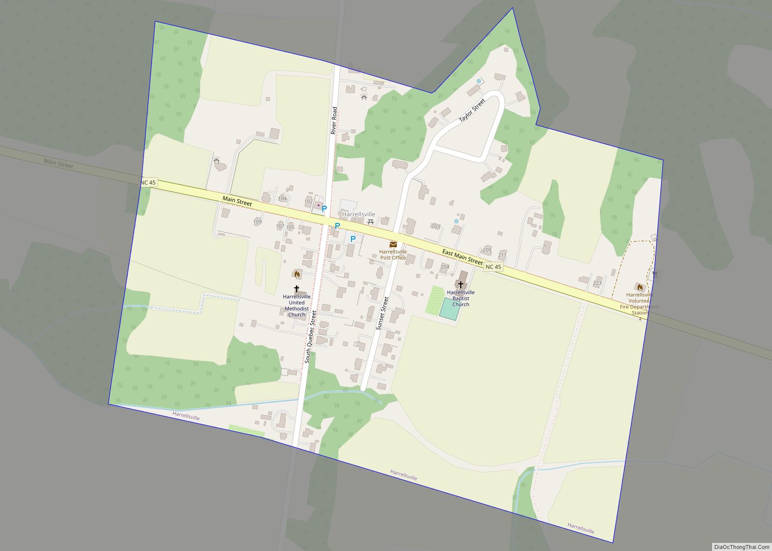
Online Interactive Map
Click on ![]() to view map in "full screen" mode.
to view map in "full screen" mode.
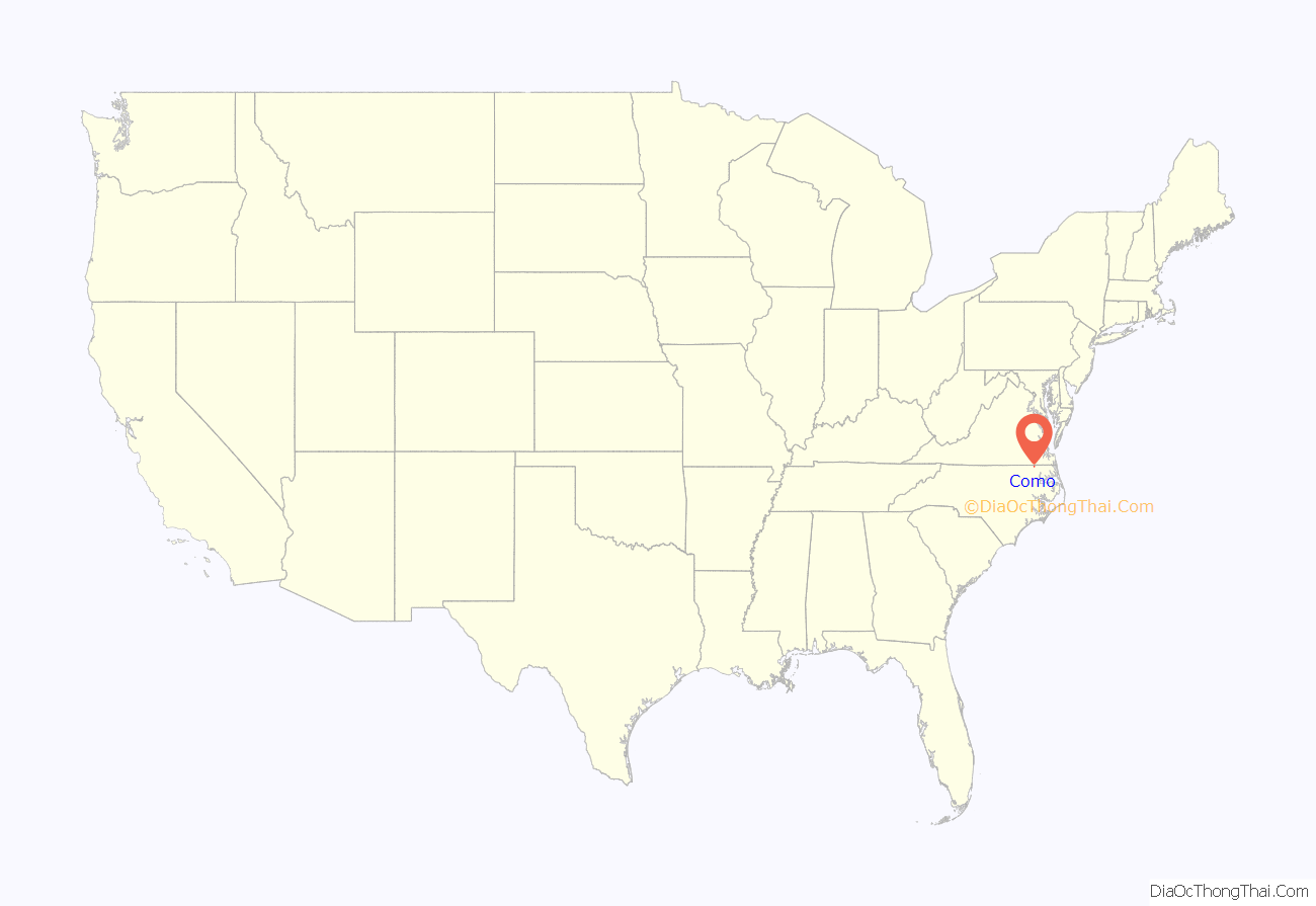
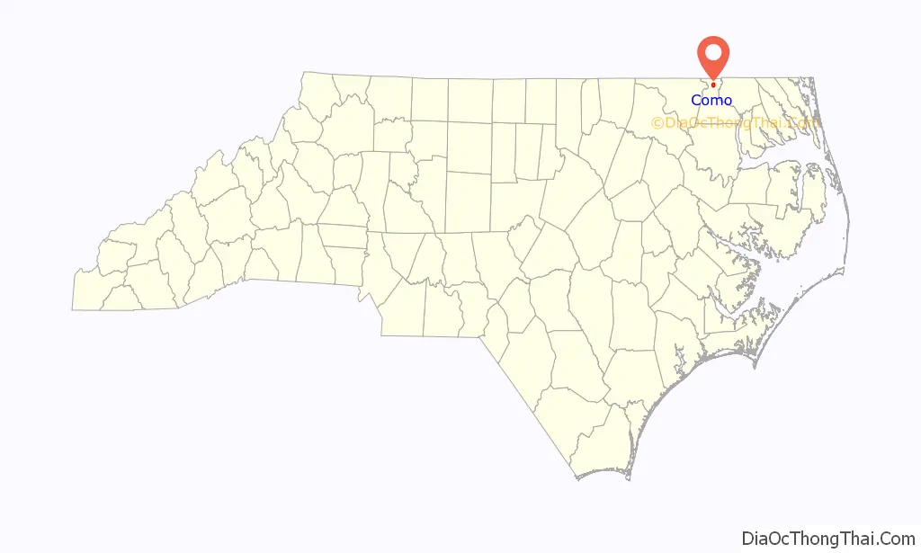
Como location map. Where is Como town?
History
The town is notable for being the birthplace of Richard Gatling, inventor of the Gatling gun. The church he attended, Buckhorn Baptist Church, is still active today.
Another well-known resident was the hoodoo root doctor Jim Jordan, who died in the early 1960s. Jordan, who was African-American, was the subject of the biographical book The Fabled Dr. Jim Jordan written by F. Roy Johnson of nearby Murfreesboro.
Hare Plantation House, Riddick House, and Vernon Place are listed on the National Register of Historic Places.
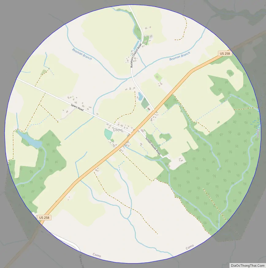
Como Road Map
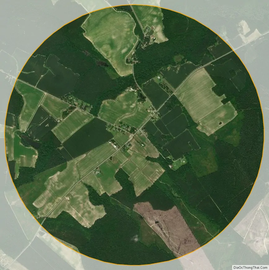
Como city Satellite Map
Geography
Como is located in northern Hertford County at 36°30′0″N 77°0′53″W / 36.50000°N 77.01472°W / 36.50000; -77.01472 (36.499873, -77.014601). U.S. Route 258 runs through the community, leading southwest 7 miles (11 km) to Murfreesboro and northeast 15 miles (24 km) to Franklin, Virginia.
According to the United States Census Bureau, Como has a total area of 3.2 square miles (8.2 km), of which 0.01 square miles (0.02 km), or 0.30%, are water.
See also
Map of North Carolina State and its subdivision:- Alamance
- Alexander
- Alleghany
- Anson
- Ashe
- Avery
- Beaufort
- Bertie
- Bladen
- Brunswick
- Buncombe
- Burke
- Cabarrus
- Caldwell
- Camden
- Carteret
- Caswell
- Catawba
- Chatham
- Cherokee
- Chowan
- Clay
- Cleveland
- Columbus
- Craven
- Cumberland
- Currituck
- Dare
- Davidson
- Davie
- Duplin
- Durham
- Edgecombe
- Forsyth
- Franklin
- Gaston
- Gates
- Graham
- Granville
- Greene
- Guilford
- Halifax
- Harnett
- Haywood
- Henderson
- Hertford
- Hoke
- Hyde
- Iredell
- Jackson
- Johnston
- Jones
- Lee
- Lenoir
- Lincoln
- Macon
- Madison
- Martin
- McDowell
- Mecklenburg
- Mitchell
- Montgomery
- Moore
- Nash
- New Hanover
- Northampton
- Onslow
- Orange
- Pamlico
- Pasquotank
- Pender
- Perquimans
- Person
- Pitt
- Polk
- Randolph
- Richmond
- Robeson
- Rockingham
- Rowan
- Rutherford
- Sampson
- Scotland
- Stanly
- Stokes
- Surry
- Swain
- Transylvania
- Tyrrell
- Union
- Vance
- Wake
- Warren
- Washington
- Watauga
- Wayne
- Wilkes
- Wilson
- Yadkin
- Yancey
- Alabama
- Alaska
- Arizona
- Arkansas
- California
- Colorado
- Connecticut
- Delaware
- District of Columbia
- Florida
- Georgia
- Hawaii
- Idaho
- Illinois
- Indiana
- Iowa
- Kansas
- Kentucky
- Louisiana
- Maine
- Maryland
- Massachusetts
- Michigan
- Minnesota
- Mississippi
- Missouri
- Montana
- Nebraska
- Nevada
- New Hampshire
- New Jersey
- New Mexico
- New York
- North Carolina
- North Dakota
- Ohio
- Oklahoma
- Oregon
- Pennsylvania
- Rhode Island
- South Carolina
- South Dakota
- Tennessee
- Texas
- Utah
- Vermont
- Virginia
- Washington
- West Virginia
- Wisconsin
- Wyoming