Davis is an unincorporated area and census-designated place (CDP) in Carteret County, North Carolina, United States. As of the 2010 census it had a population of 422.
| Name: | Davis CDP |
|---|---|
| LSAD Code: | 57 |
| LSAD Description: | CDP (suffix) |
| State: | North Carolina |
| County: | Carteret County |
| Elevation: | 5 ft (2 m) |
| Total Area: | 2.20 sq mi (5.69 km²) |
| Land Area: | 2.18 sq mi (5.65 km²) |
| Water Area: | 0.01 sq mi (0.04 km²) |
| Total Population: | 311 |
| Population Density: | 142.53/sq mi (55.04/km²) |
| ZIP code: | 28524 |
| Area code: | 252 |
| FIPS code: | 3716480 |
| GNISfeature ID: | 0983982 |
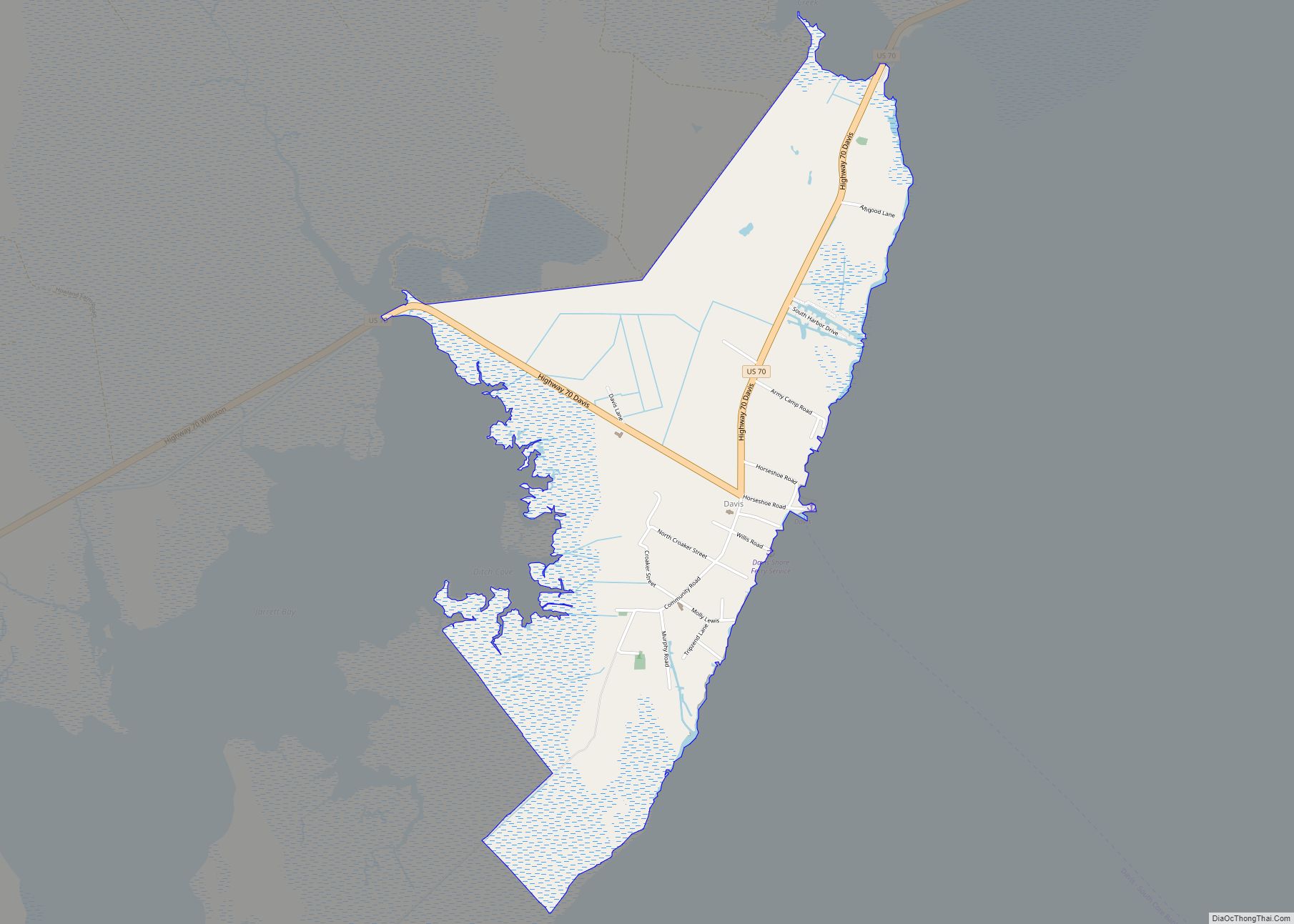
Online Interactive Map
Click on ![]() to view map in "full screen" mode.
to view map in "full screen" mode.
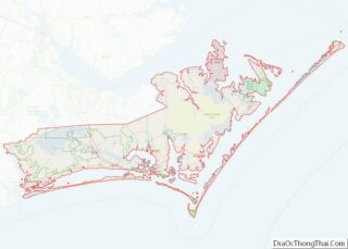
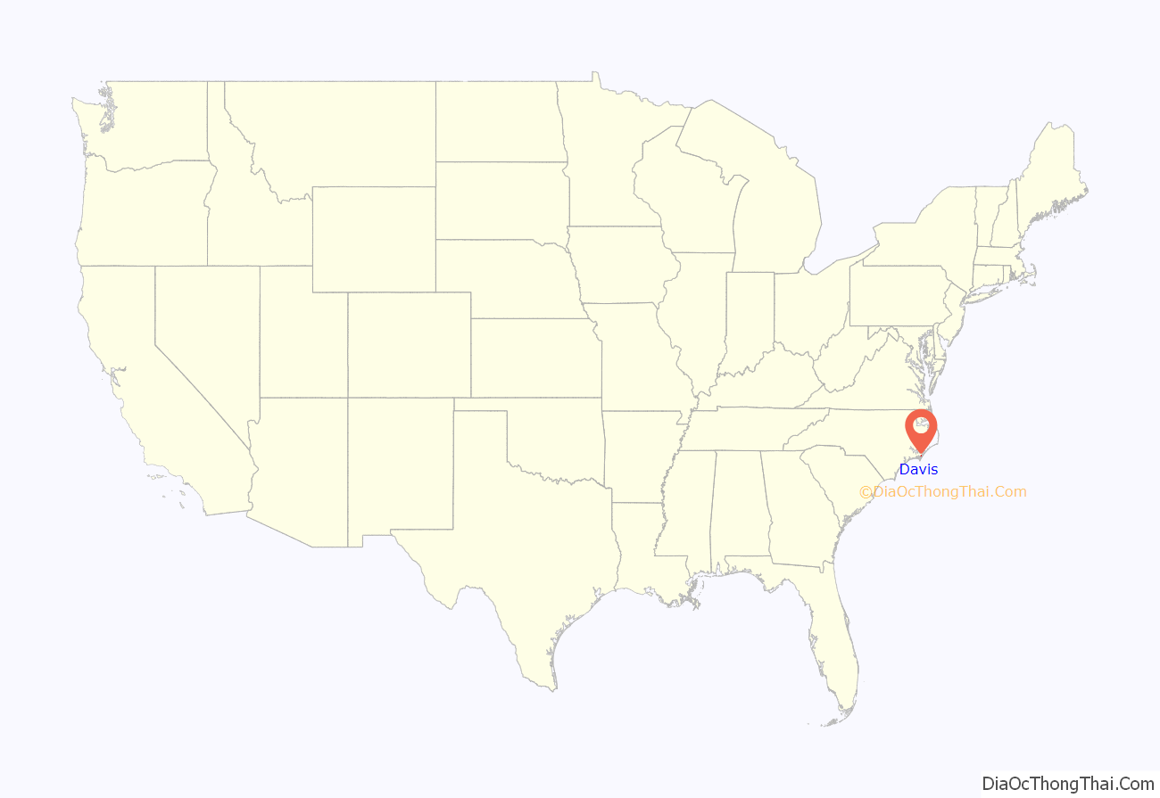
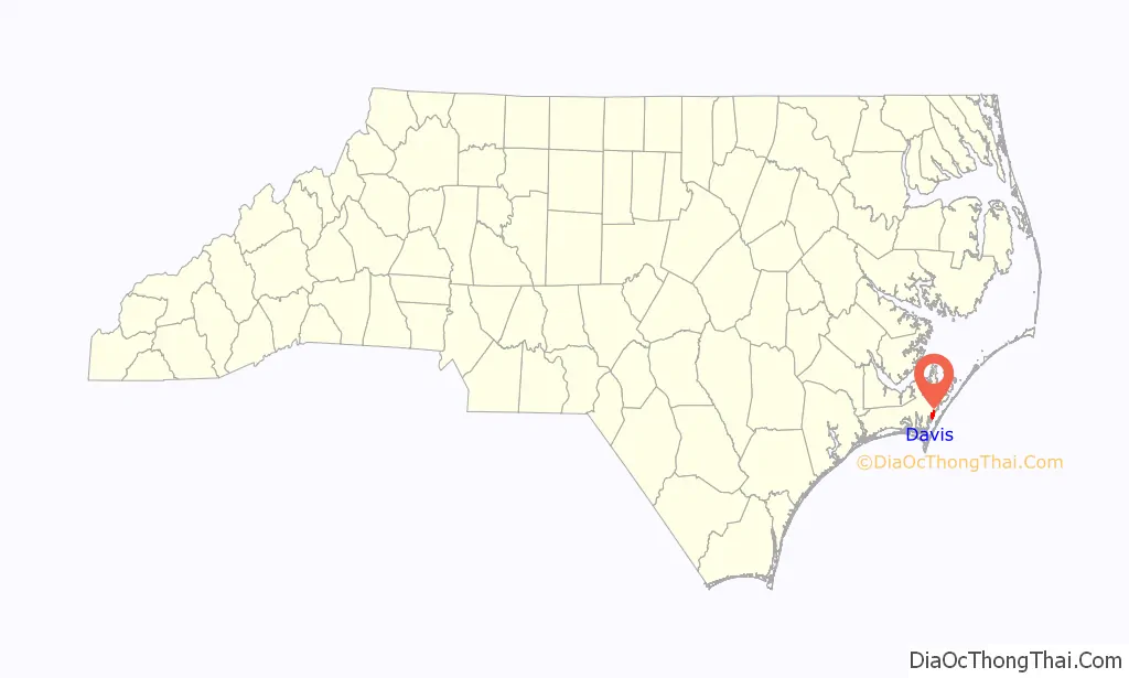
Davis location map. Where is Davis CDP?
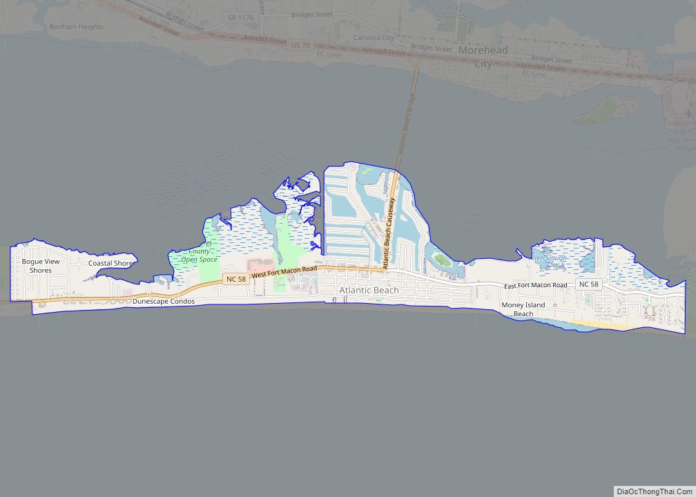
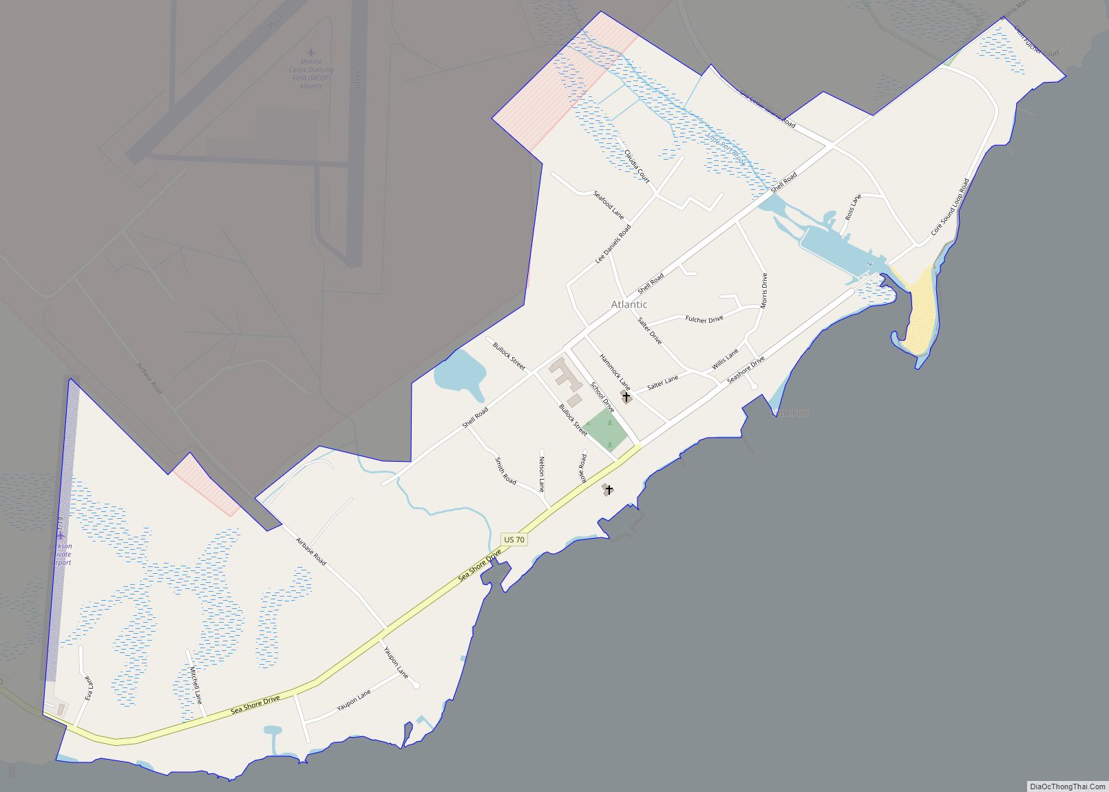
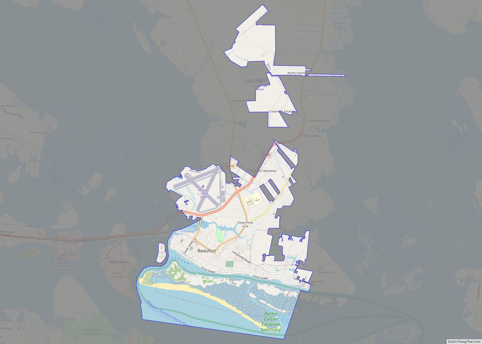
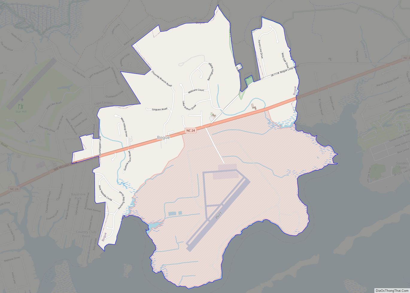
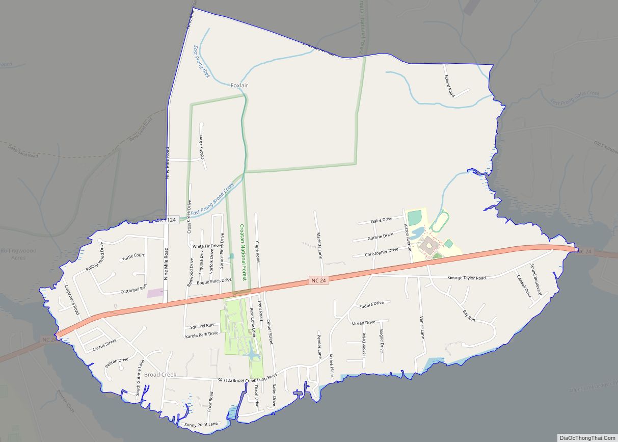
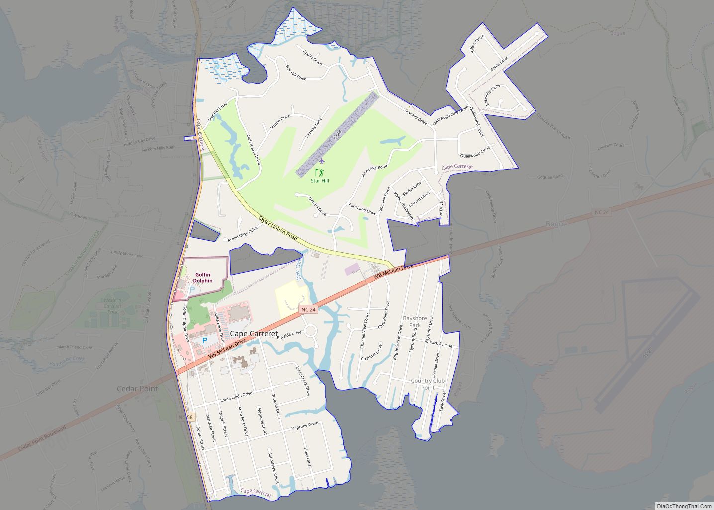
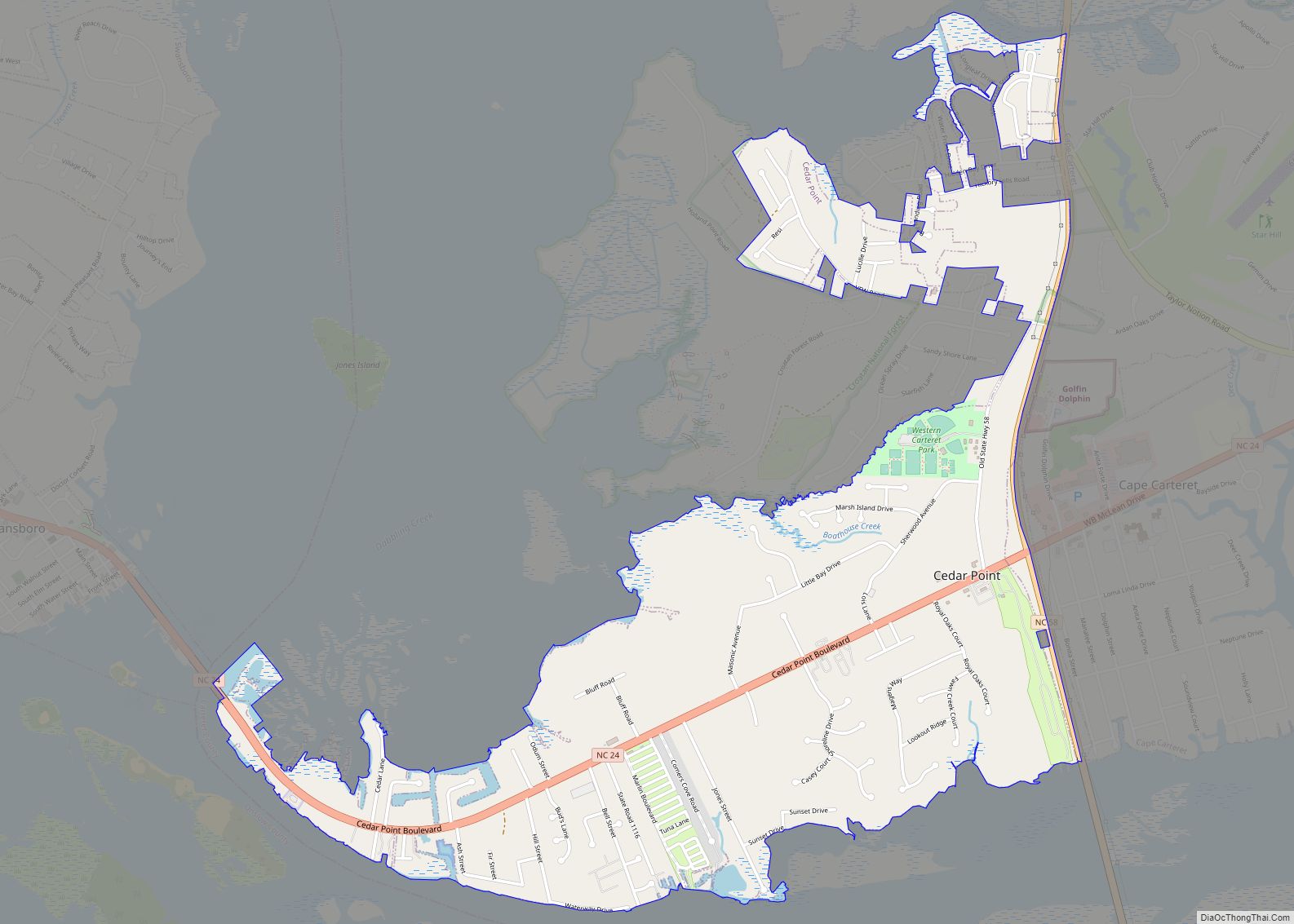
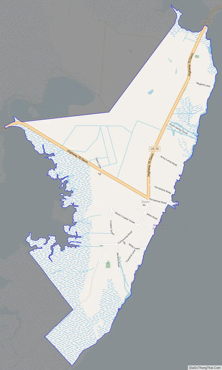
Davis Road Map
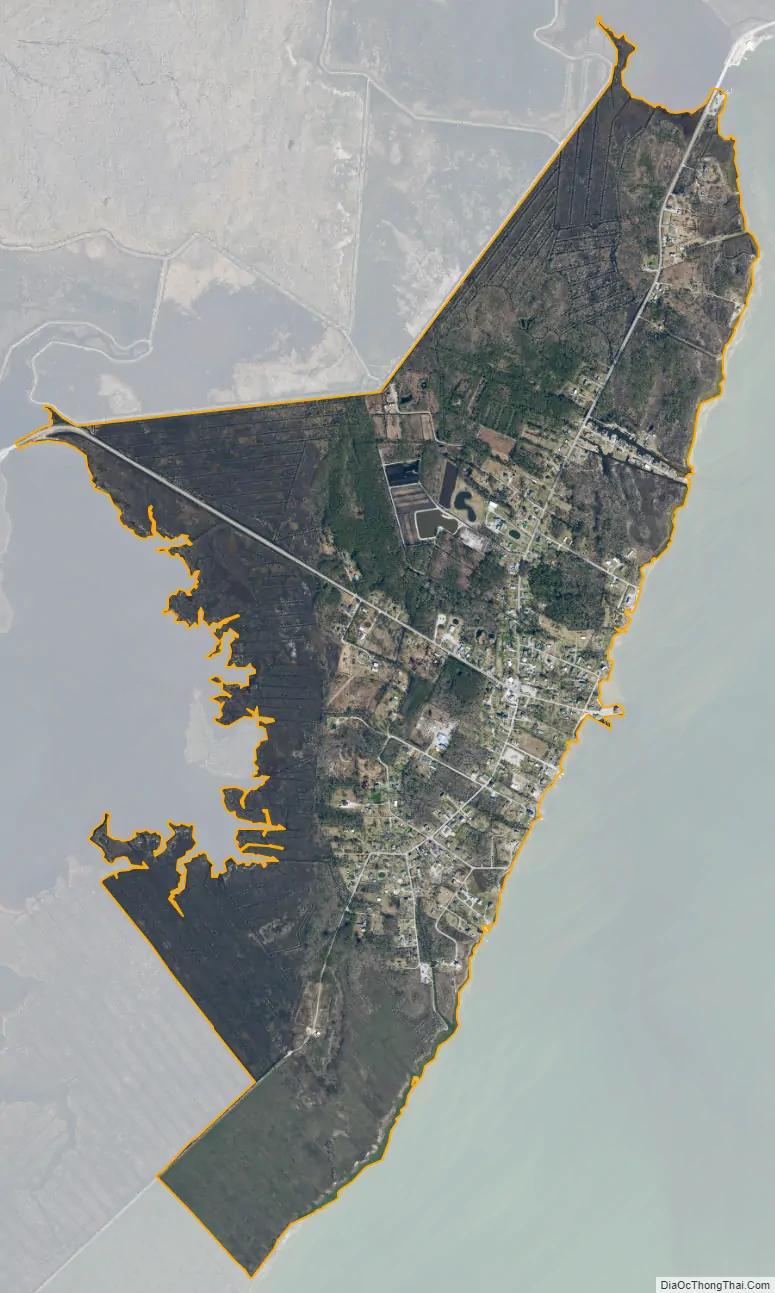
Davis city Satellite Map
Geography
Davis is located east of the center of Carteret County, on the northwest shore of Core Sound, between Jarrett Bay to the west and Oyster Creek to the northeast. To the southeast, across Core Sound, is Core Banks, a barrier island that is part of Cape Lookout National Seashore, with access by ferry from Davis. U.S. Route 70 passes through the town, leading southwest 18 miles (29 km) to Beaufort and northeast 13 miles (21 km) to its eastern terminus at Atlantic.
The Davis CDP has a total area of 2.2 square miles (5.7 km), of which 0.01 square miles (0.03 km), or 0.59%, is water.
See also
Map of North Carolina State and its subdivision:- Alamance
- Alexander
- Alleghany
- Anson
- Ashe
- Avery
- Beaufort
- Bertie
- Bladen
- Brunswick
- Buncombe
- Burke
- Cabarrus
- Caldwell
- Camden
- Carteret
- Caswell
- Catawba
- Chatham
- Cherokee
- Chowan
- Clay
- Cleveland
- Columbus
- Craven
- Cumberland
- Currituck
- Dare
- Davidson
- Davie
- Duplin
- Durham
- Edgecombe
- Forsyth
- Franklin
- Gaston
- Gates
- Graham
- Granville
- Greene
- Guilford
- Halifax
- Harnett
- Haywood
- Henderson
- Hertford
- Hoke
- Hyde
- Iredell
- Jackson
- Johnston
- Jones
- Lee
- Lenoir
- Lincoln
- Macon
- Madison
- Martin
- McDowell
- Mecklenburg
- Mitchell
- Montgomery
- Moore
- Nash
- New Hanover
- Northampton
- Onslow
- Orange
- Pamlico
- Pasquotank
- Pender
- Perquimans
- Person
- Pitt
- Polk
- Randolph
- Richmond
- Robeson
- Rockingham
- Rowan
- Rutherford
- Sampson
- Scotland
- Stanly
- Stokes
- Surry
- Swain
- Transylvania
- Tyrrell
- Union
- Vance
- Wake
- Warren
- Washington
- Watauga
- Wayne
- Wilkes
- Wilson
- Yadkin
- Yancey
- Alabama
- Alaska
- Arizona
- Arkansas
- California
- Colorado
- Connecticut
- Delaware
- District of Columbia
- Florida
- Georgia
- Hawaii
- Idaho
- Illinois
- Indiana
- Iowa
- Kansas
- Kentucky
- Louisiana
- Maine
- Maryland
- Massachusetts
- Michigan
- Minnesota
- Mississippi
- Missouri
- Montana
- Nebraska
- Nevada
- New Hampshire
- New Jersey
- New Mexico
- New York
- North Carolina
- North Dakota
- Ohio
- Oklahoma
- Oregon
- Pennsylvania
- Rhode Island
- South Carolina
- South Dakota
- Tennessee
- Texas
- Utah
- Vermont
- Virginia
- Washington
- West Virginia
- Wisconsin
- Wyoming