Emerald Isle is a town in Carteret County, North Carolina, United States. It is part of the Crystal Coast and is located entirely on Bogue Banks. The population was 3,847 at the 2020 census, but as many as 50,000 tourists each week inhabit the area during the summer season, filling up vacant rental properties that do not count toward official census results.
Today, the oceanfront is lined with large and small homes, duplexes, condominiums, and one oceanfront hotel. Emerald Isle has a family-oriented atmosphere.
Recent beach renourishment projects in North Carolina, including Emerald Isle, have been both praised and questioned.
| Name: | Emerald Isle town |
|---|---|
| LSAD Code: | 43 |
| LSAD Description: | town (suffix) |
| State: | North Carolina |
| County: | Carteret County |
| Elevation: | 10 ft (3 m) |
| Total Area: | 5.01 sq mi (12.98 km²) |
| Land Area: | 4.92 sq mi (12.75 km²) |
| Water Area: | 0.09 sq mi (0.23 km²) |
| Total Population: | 3,847 |
| Population Density: | 781.43/sq mi (301.70/km²) |
| ZIP code: | 28594 |
| Area code: | 252 |
| FIPS code: | 3721160 |
| GNISfeature ID: | 1020148 |
| Website: | www.emeraldisle-nc.org |
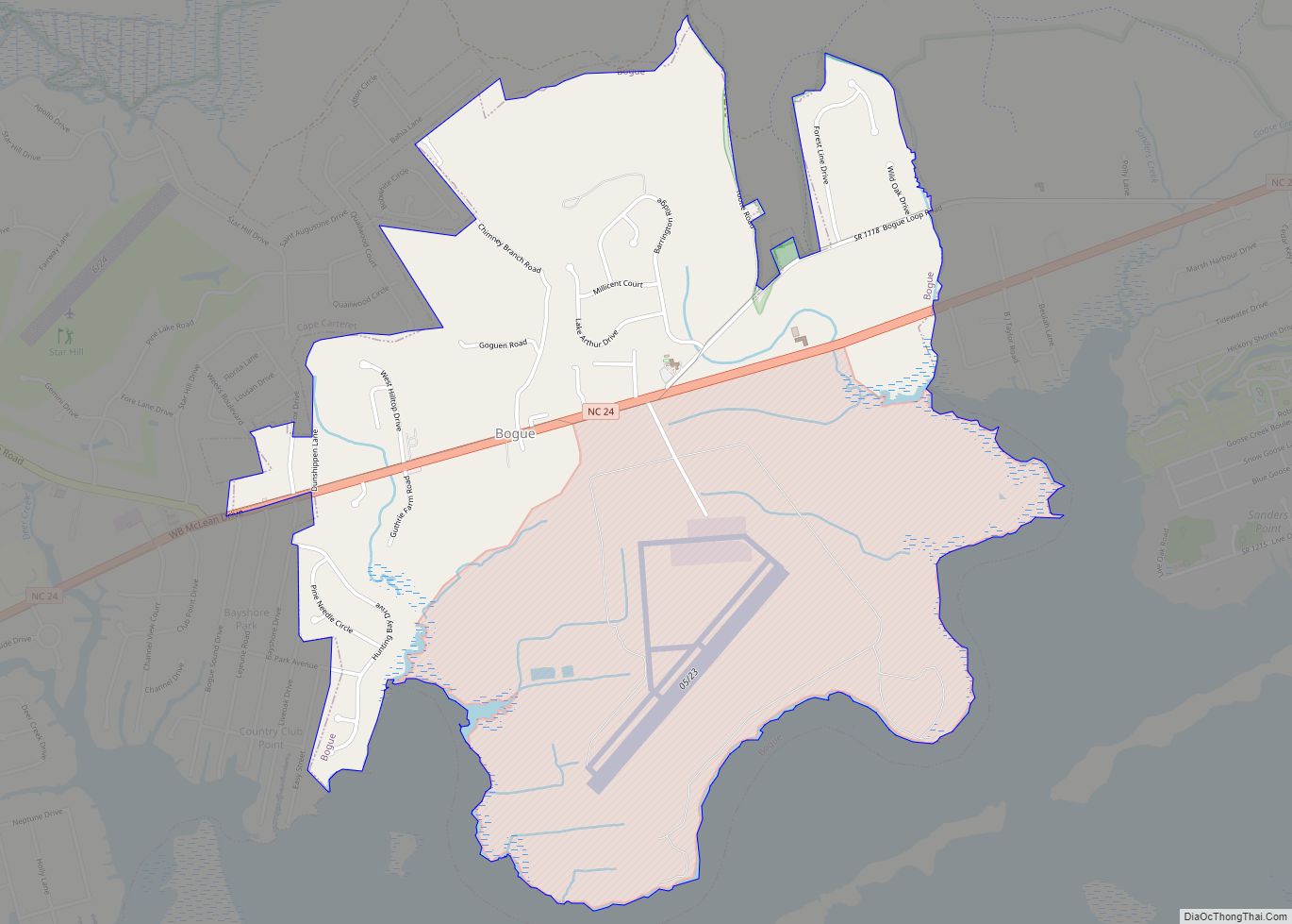
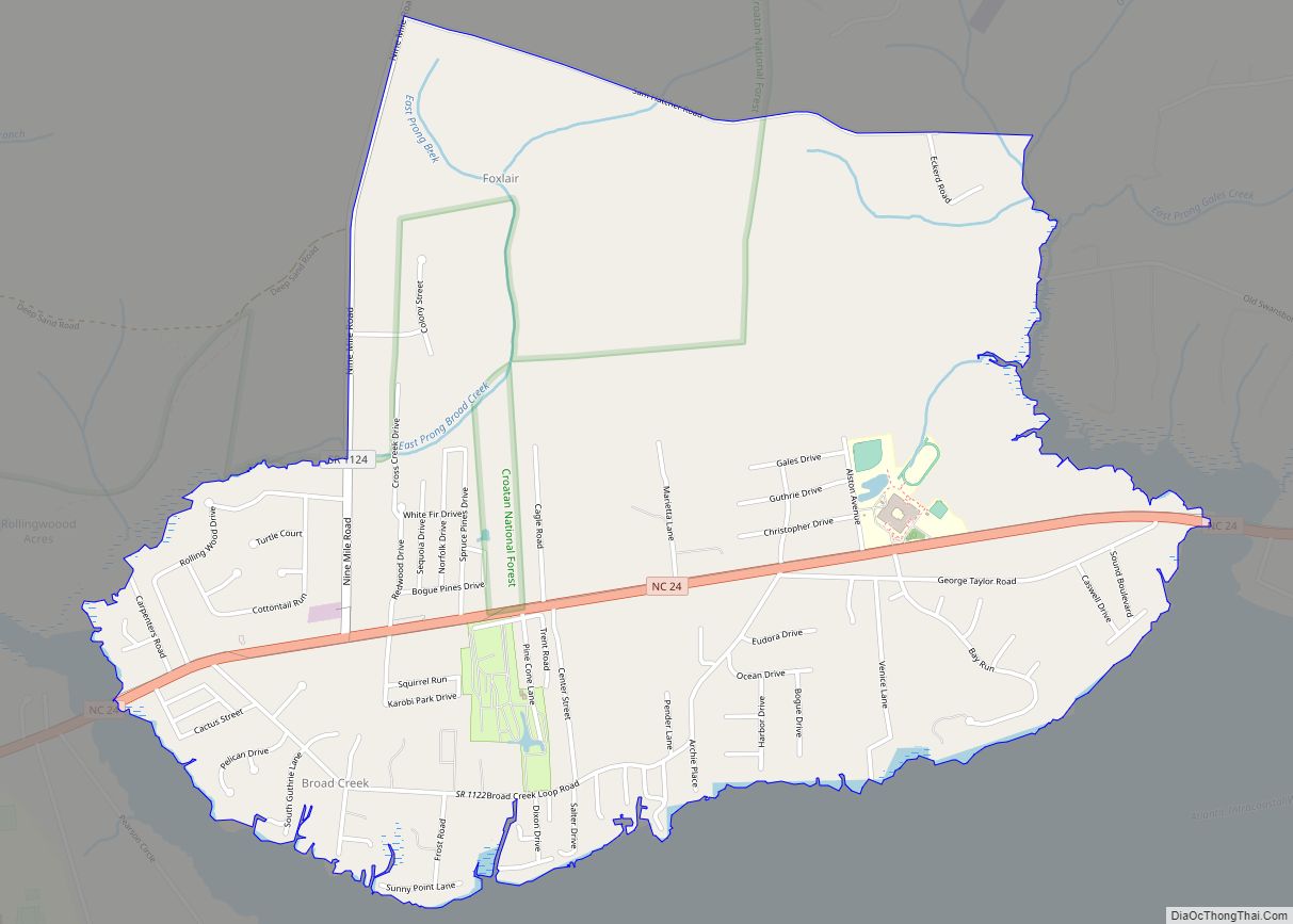
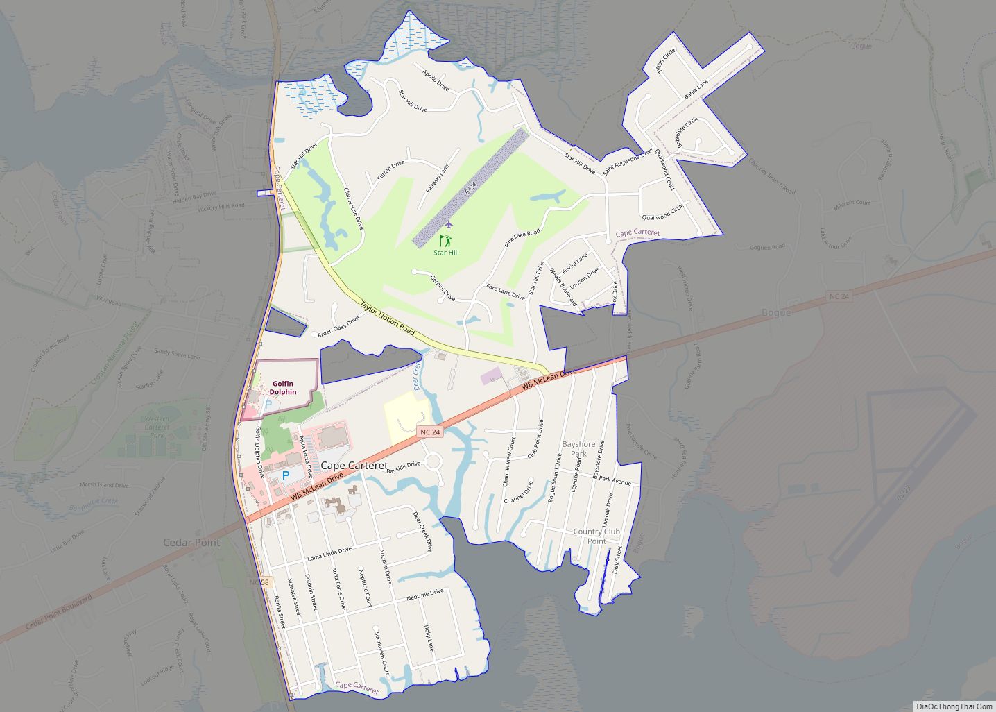
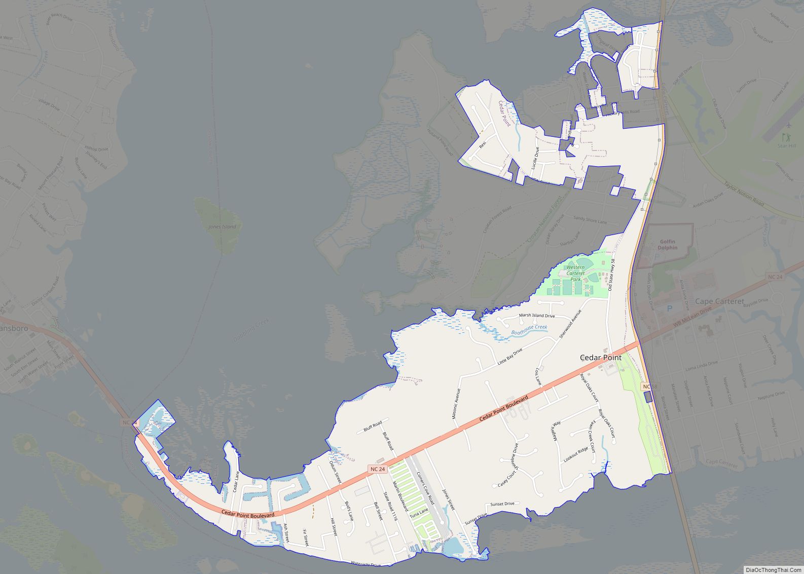
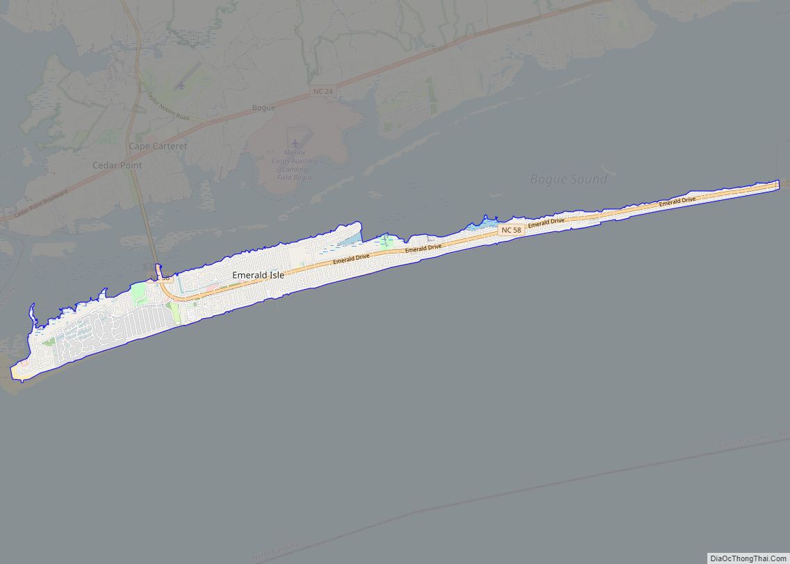
Online Interactive Map
Click on ![]() to view map in "full screen" mode.
to view map in "full screen" mode.
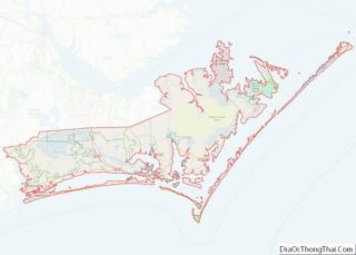
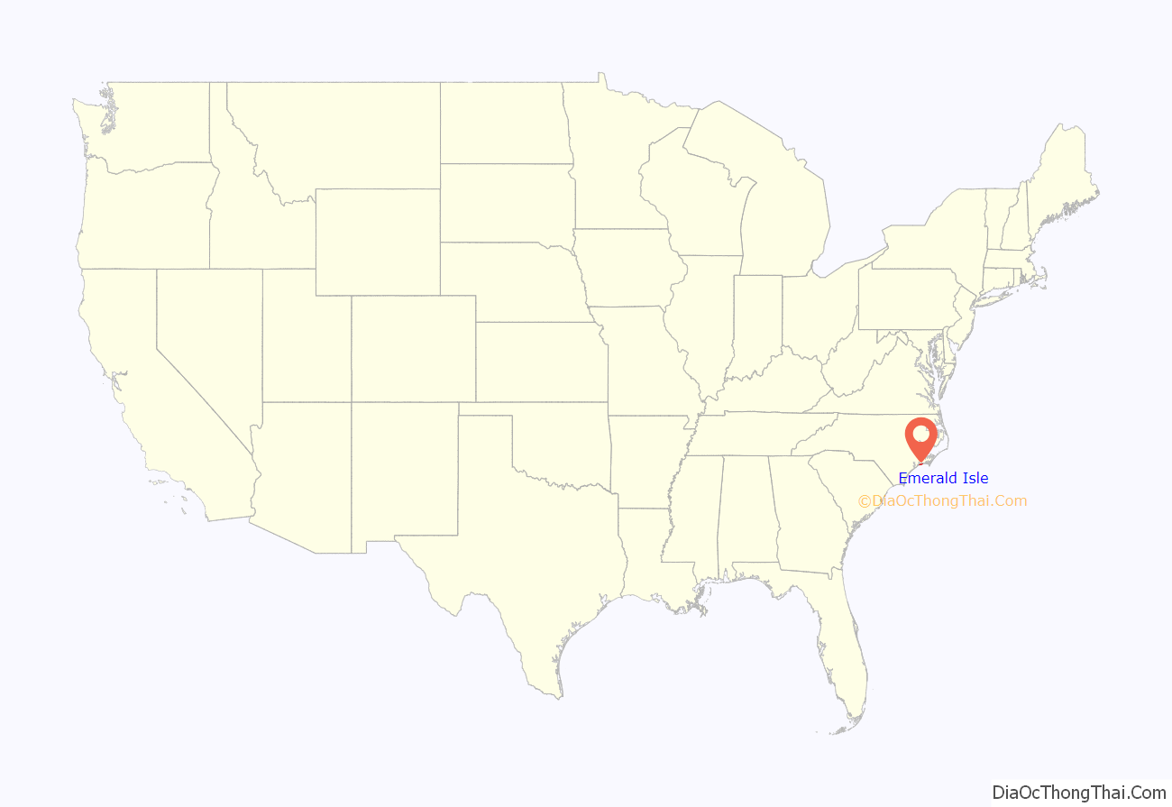
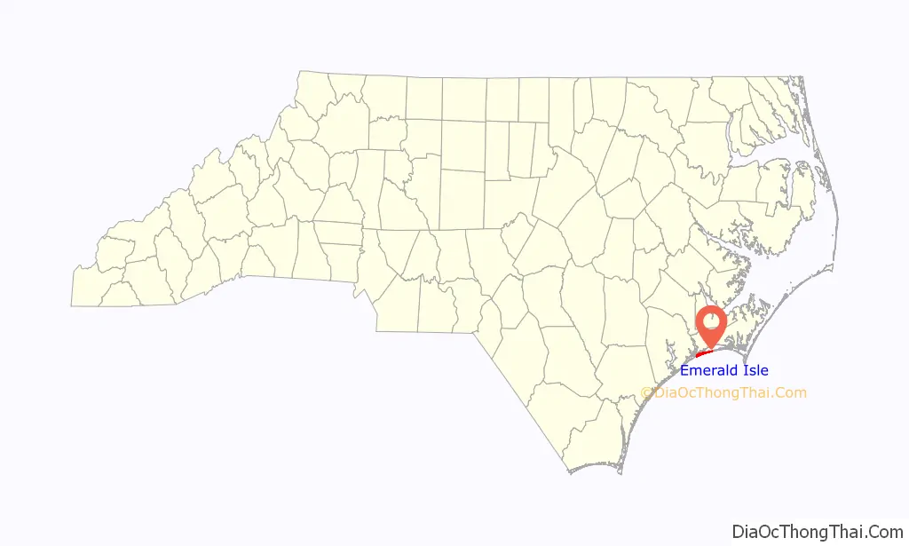
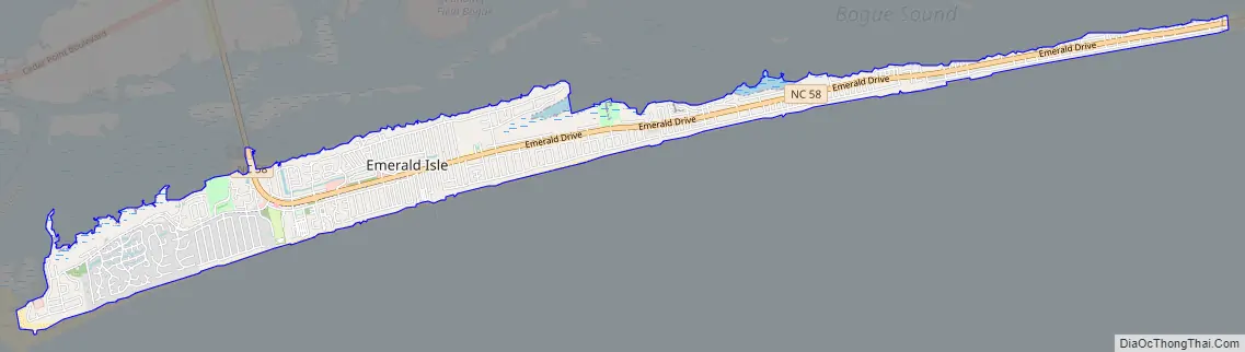
Emerald Isle location map. Where is Emerald Isle town?
History
From about 1 AD to colonial times, Emerald Isle was home to Native Americans. Later, the area was settled by a small number of whalers and fishermen.
In the 1920s Henry Fort, who owned the Emerald Isle beaches and land surrounding them, hoped to open a large summer tourist attraction and ocean resort. Fort worked with developers, but the plans never materialized. After his death, his daughter Anita Maulick inherited Emerald Isle.
In 1951, seven people purchased the 12-mile (19 km) stretch of island for $350,000 from Anita Maulick. Emerald Isle was sliced into 54 blocks of 1,000 feet (300 m), each going from ocean to sound. The partners drew from a hat for the ownership of blocks. Because they wanted Emerald Isle to be family-oriented, the owners limited commercial development and mobile homes to five blocks each.
In 1960, ferry service began, providing wider access to the Bogue Banks beaches of modern-day Emerald Isle.
In 1971 the Cameron Langston Bridge was opened to provide access from Cedar Point to the western end of Bogue Banks and Emerald Isle. The bridge, spanning the Intracoastal Waterway, offers a great view of Bogue Sound and Bogue Banks. The opening of the bridge increased island development.
Emerald Isle is a popular vacation spot for families and is also known for excellent fishing and a wealth of marine life.Its beaches are a favorite location for nesting sea turtles, which are protected by federal law.
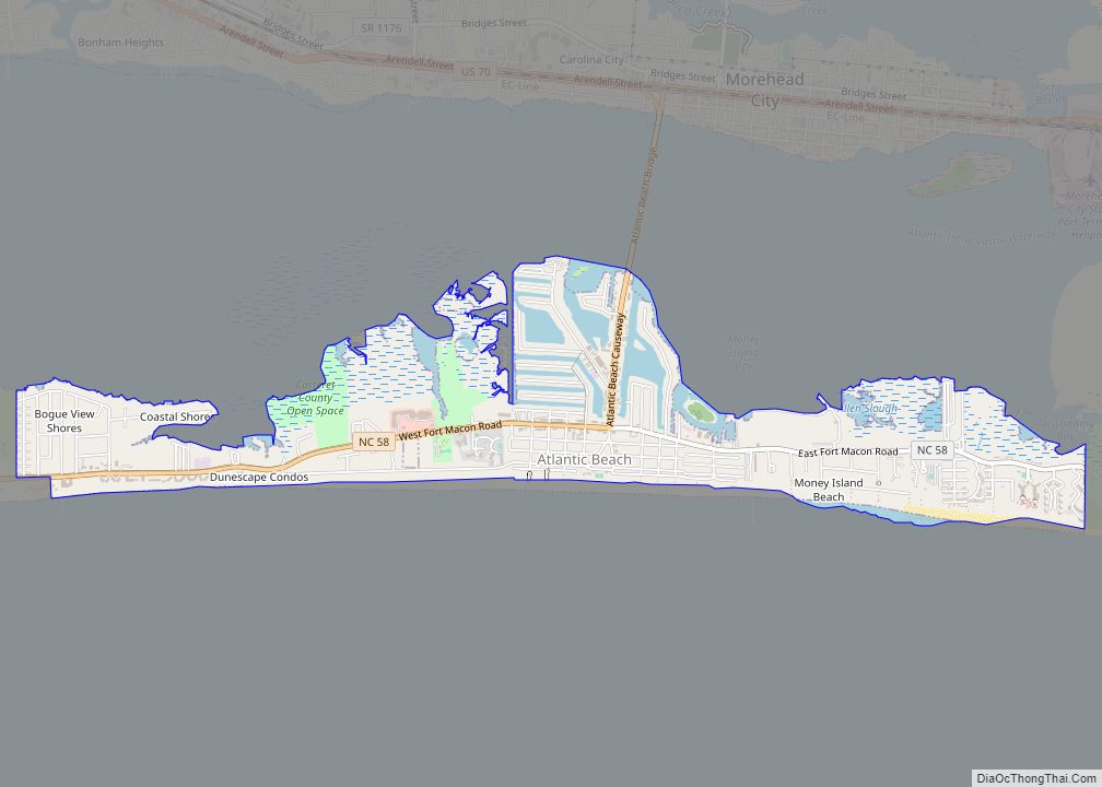
Emerald Isle Road Map
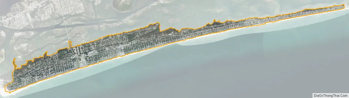
Emerald Isle city Satellite Map
Geography
Emerald Isle is located in southwestern Carteret County at 34°40′1″N 77°0′49″W / 34.66694°N 77.01361°W / 34.66694; -77.01361 (34.666994, -77.013482), at the western end of Bogue Banks, a barrier island. To the south is the Atlantic Ocean, and to the north is Bogue Sound separating the island from mainland North Carolina. The town extends to the western tip of the island, ending at Bogue Inlet, while to the east the town is bordered by Indian Beach.
According to the United States Census Bureau, the town has a total area of 5.1 square miles (13.1 km), of which 5.0 square miles (12.9 km) is land and 0.08 square miles (0.2 km), or 1.67%, is water.
See also
Map of North Carolina State and its subdivision:- Alamance
- Alexander
- Alleghany
- Anson
- Ashe
- Avery
- Beaufort
- Bertie
- Bladen
- Brunswick
- Buncombe
- Burke
- Cabarrus
- Caldwell
- Camden
- Carteret
- Caswell
- Catawba
- Chatham
- Cherokee
- Chowan
- Clay
- Cleveland
- Columbus
- Craven
- Cumberland
- Currituck
- Dare
- Davidson
- Davie
- Duplin
- Durham
- Edgecombe
- Forsyth
- Franklin
- Gaston
- Gates
- Graham
- Granville
- Greene
- Guilford
- Halifax
- Harnett
- Haywood
- Henderson
- Hertford
- Hoke
- Hyde
- Iredell
- Jackson
- Johnston
- Jones
- Lee
- Lenoir
- Lincoln
- Macon
- Madison
- Martin
- McDowell
- Mecklenburg
- Mitchell
- Montgomery
- Moore
- Nash
- New Hanover
- Northampton
- Onslow
- Orange
- Pamlico
- Pasquotank
- Pender
- Perquimans
- Person
- Pitt
- Polk
- Randolph
- Richmond
- Robeson
- Rockingham
- Rowan
- Rutherford
- Sampson
- Scotland
- Stanly
- Stokes
- Surry
- Swain
- Transylvania
- Tyrrell
- Union
- Vance
- Wake
- Warren
- Washington
- Watauga
- Wayne
- Wilkes
- Wilson
- Yadkin
- Yancey
- Alabama
- Alaska
- Arizona
- Arkansas
- California
- Colorado
- Connecticut
- Delaware
- District of Columbia
- Florida
- Georgia
- Hawaii
- Idaho
- Illinois
- Indiana
- Iowa
- Kansas
- Kentucky
- Louisiana
- Maine
- Maryland
- Massachusetts
- Michigan
- Minnesota
- Mississippi
- Missouri
- Montana
- Nebraska
- Nevada
- New Hampshire
- New Jersey
- New Mexico
- New York
- North Carolina
- North Dakota
- Ohio
- Oklahoma
- Oregon
- Pennsylvania
- Rhode Island
- South Carolina
- South Dakota
- Tennessee
- Texas
- Utah
- Vermont
- Virginia
- Washington
- West Virginia
- Wisconsin
- Wyoming