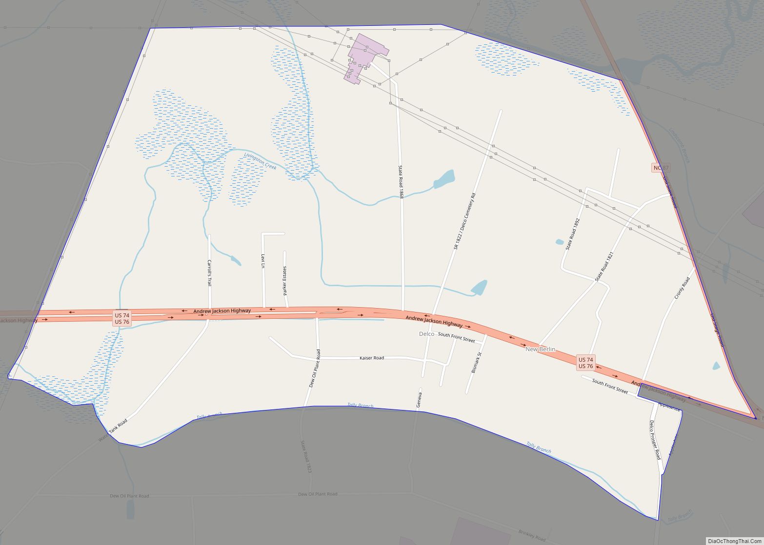
Delco (formerly Brinkly, New Berlin, and Pershing) is an unincorporated community and census-designated place (CDP) in Columbus County, North Carolina, United States. The population was 348 at the 2010 census.
| Name: | Delco CDP |
|---|---|
| LSAD Code: | 57 |
| LSAD Description: | CDP (suffix) |
| State: | North Carolina |
| County: | Columbus County |
| Elevation: | 49 ft (15 m) |
| Total Area: | 1.51 sq mi (3.91 km²) |
| Land Area: | 1.51 sq mi (3.91 km²) |
| Water Area: | 0.00 sq mi (0.00 km²) |
| Total Population: | 287 |
| Population Density: | 190.32/sq mi (73.48/km²) |
| ZIP code: | 28436 |
| FIPS code: | 3716780 |
| GNISfeature ID: | 1019945 |
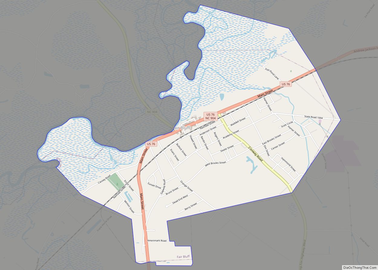
Online Interactive Map
Click on ![]() to view map in "full screen" mode.
to view map in "full screen" mode.
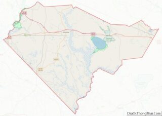
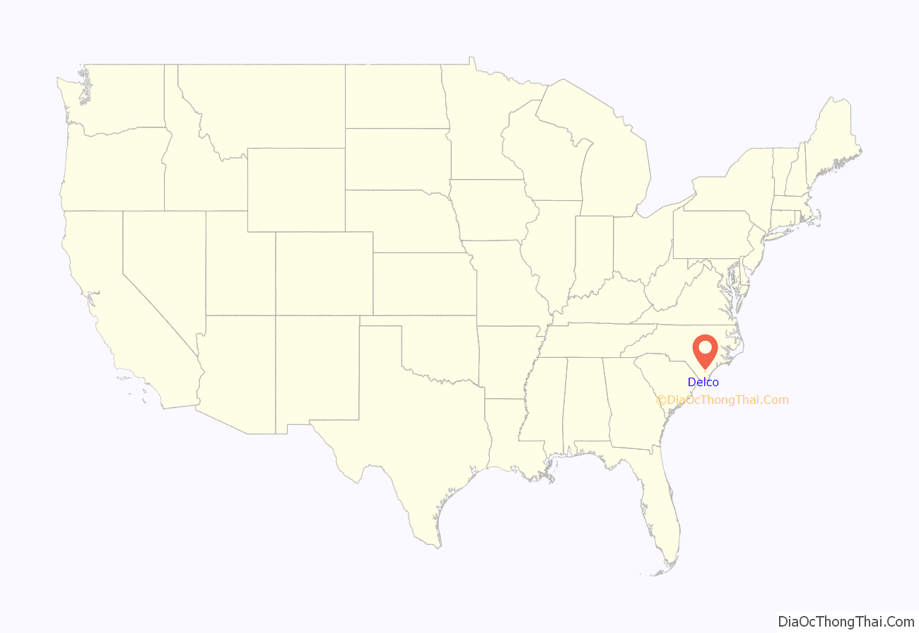
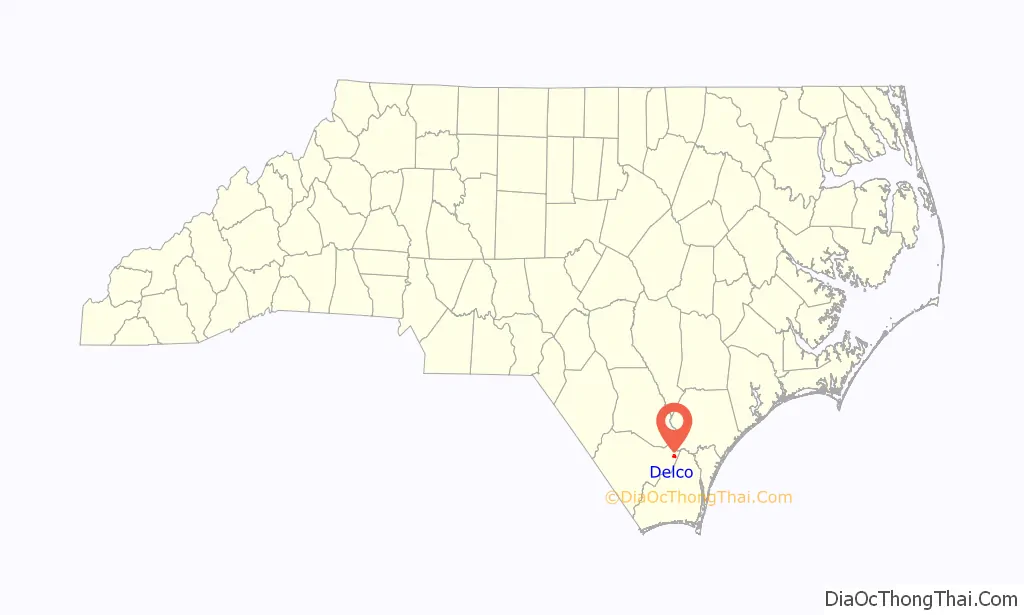
Delco location map. Where is Delco CDP?
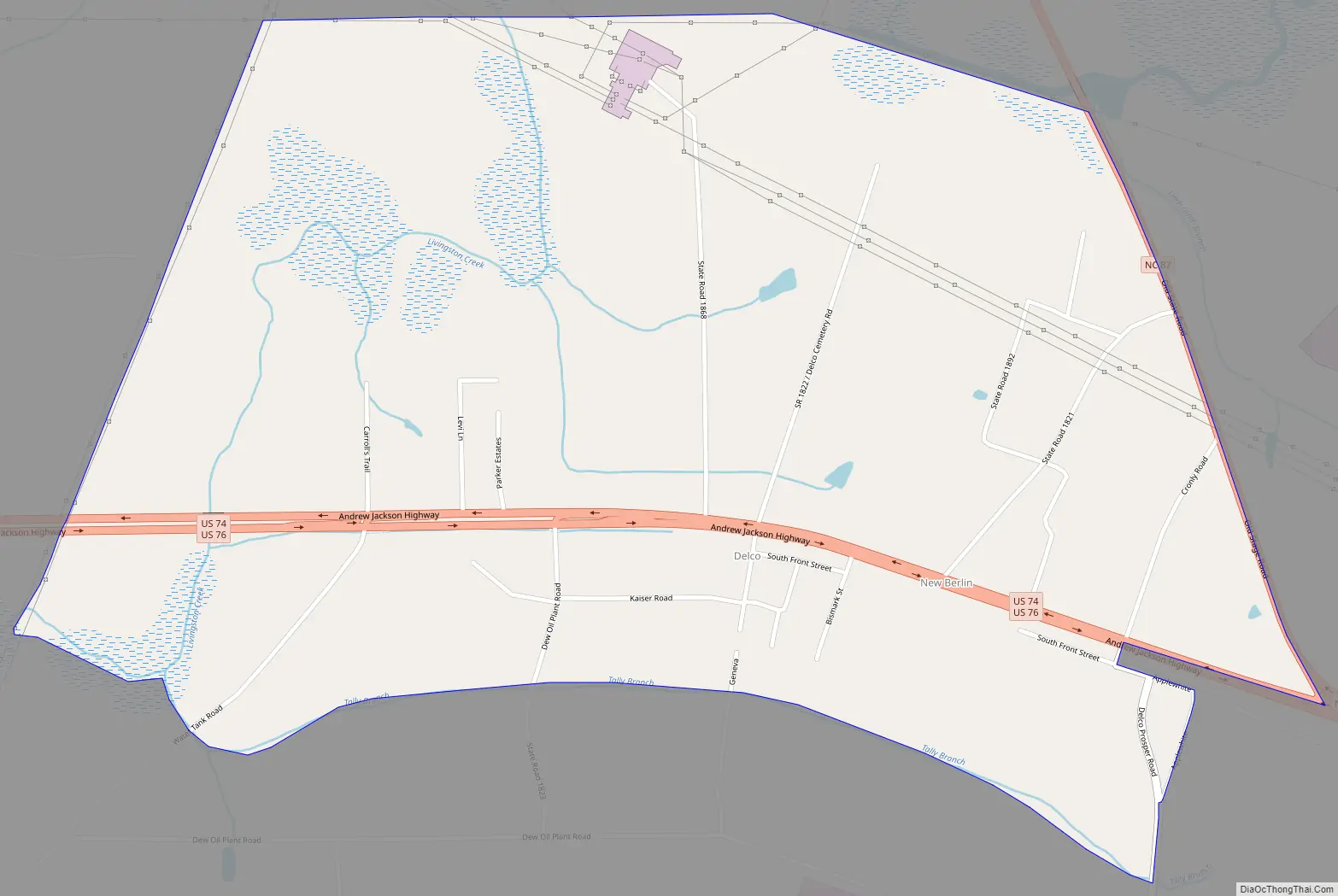
Delco Road Map
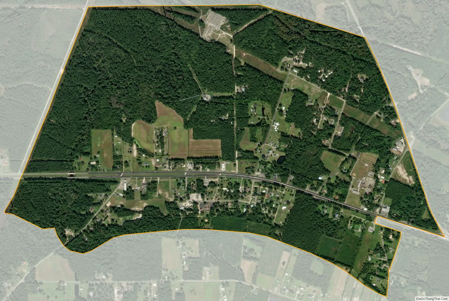
Delco city Satellite Map
Geography
Delco is located near the eastern tip of Columbus County, at an elevation of 49 feet (15 m). Combined U.S. Routes 74 and 76 (the four-lane Andrew Jackson Highway) passes through the center of the community, leading east 18 miles (29 km) to Wilmington and west 28 miles (45 km) to Whiteville, the Columbus County seat. North Carolina Highway 87 leads northwest from Delco 32 miles (51 km) to Elizabethtown.
According to the United States Census Bureau, the Delco CDP has a total area of 1.5 square miles (3.9 km), all land.
Acme Delco Middle School, was located in Delco prior to its closing in 2020.
See also
Map of North Carolina State and its subdivision:- Alamance
- Alexander
- Alleghany
- Anson
- Ashe
- Avery
- Beaufort
- Bertie
- Bladen
- Brunswick
- Buncombe
- Burke
- Cabarrus
- Caldwell
- Camden
- Carteret
- Caswell
- Catawba
- Chatham
- Cherokee
- Chowan
- Clay
- Cleveland
- Columbus
- Craven
- Cumberland
- Currituck
- Dare
- Davidson
- Davie
- Duplin
- Durham
- Edgecombe
- Forsyth
- Franklin
- Gaston
- Gates
- Graham
- Granville
- Greene
- Guilford
- Halifax
- Harnett
- Haywood
- Henderson
- Hertford
- Hoke
- Hyde
- Iredell
- Jackson
- Johnston
- Jones
- Lee
- Lenoir
- Lincoln
- Macon
- Madison
- Martin
- McDowell
- Mecklenburg
- Mitchell
- Montgomery
- Moore
- Nash
- New Hanover
- Northampton
- Onslow
- Orange
- Pamlico
- Pasquotank
- Pender
- Perquimans
- Person
- Pitt
- Polk
- Randolph
- Richmond
- Robeson
- Rockingham
- Rowan
- Rutherford
- Sampson
- Scotland
- Stanly
- Stokes
- Surry
- Swain
- Transylvania
- Tyrrell
- Union
- Vance
- Wake
- Warren
- Washington
- Watauga
- Wayne
- Wilkes
- Wilson
- Yadkin
- Yancey
- Alabama
- Alaska
- Arizona
- Arkansas
- California
- Colorado
- Connecticut
- Delaware
- District of Columbia
- Florida
- Georgia
- Hawaii
- Idaho
- Illinois
- Indiana
- Iowa
- Kansas
- Kentucky
- Louisiana
- Maine
- Maryland
- Massachusetts
- Michigan
- Minnesota
- Mississippi
- Missouri
- Montana
- Nebraska
- Nevada
- New Hampshire
- New Jersey
- New Mexico
- New York
- North Carolina
- North Dakota
- Ohio
- Oklahoma
- Oregon
- Pennsylvania
- Rhode Island
- South Carolina
- South Dakota
- Tennessee
- Texas
- Utah
- Vermont
- Virginia
- Washington
- West Virginia
- Wisconsin
- Wyoming