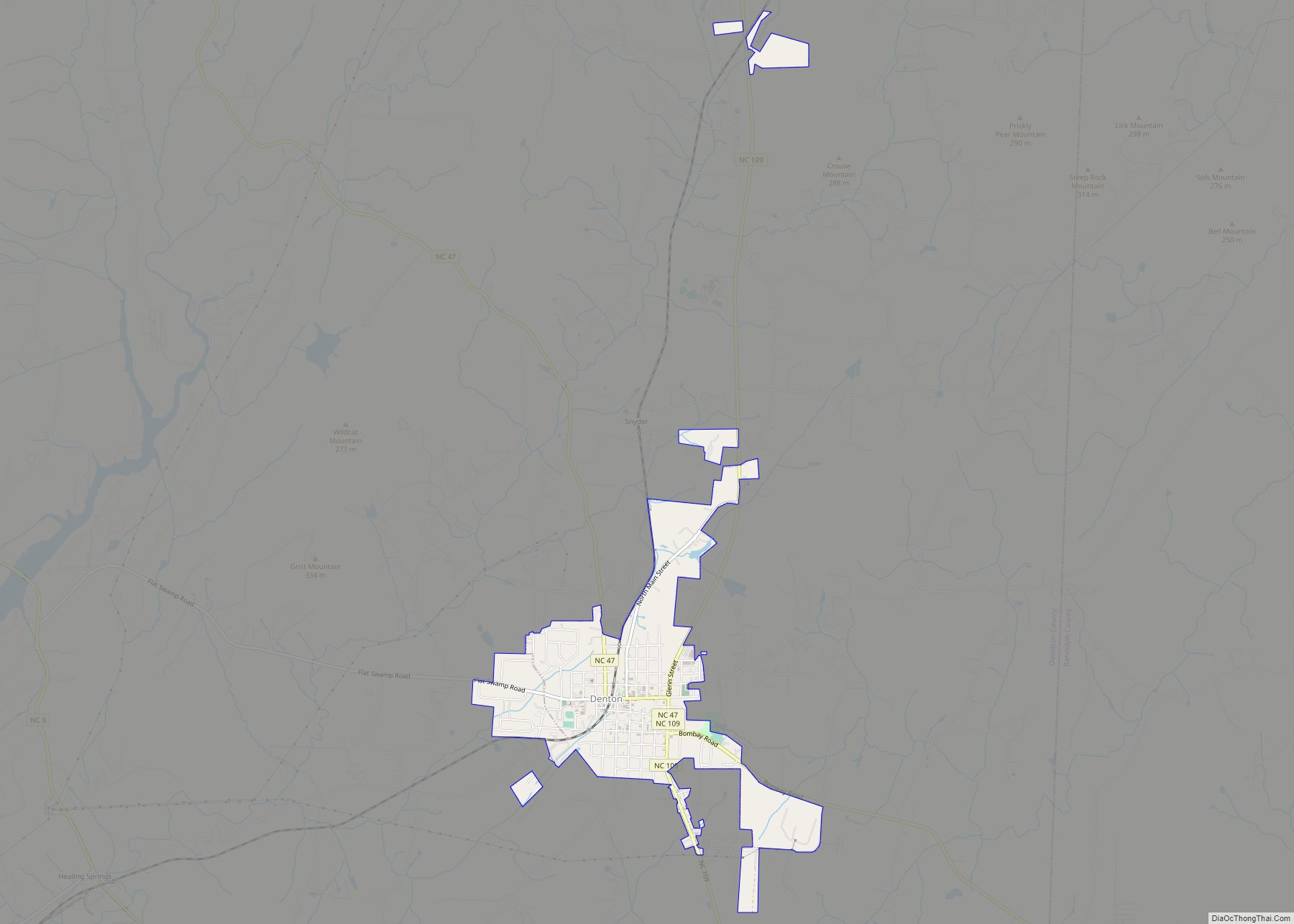
Denton is a town in Davidson County, North Carolina, United States. The population was 1,636 at the 2010 census.
| Name: | Denton town |
|---|---|
| LSAD Code: | 43 |
| LSAD Description: | town (suffix) |
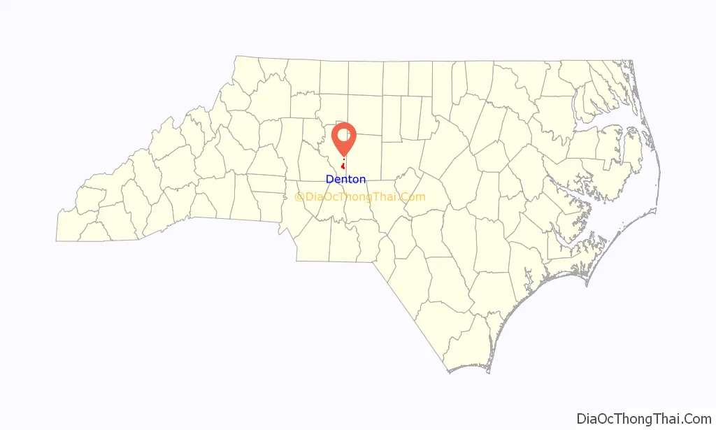
| State: | North Carolina |
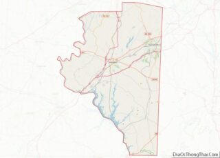
| County: | Davidson County |
| Elevation: | 699 ft (213 m) |
| Total Area: | 2.11 sq mi (5.46 km²) |
| Land Area: | 2.10 sq mi (5.45 km²) |
| Water Area: | 0.01 sq mi (0.02 km²) |
| Total Population: | 1,494 |
| Population Density: | 710.41/sq mi (274.32/km²) |
| ZIP code: | 27239 |
| Area code: | 336 |
| FIPS code: | 3716980 |
| GNISfeature ID: | 1019952 |
| Website: | www.townofdenton.com |
Online Interactive Map
Click on ![]() to view map in "full screen" mode.
to view map in "full screen" mode.
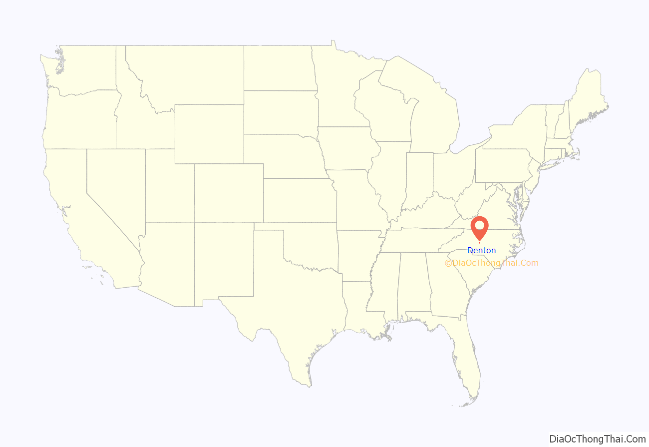
Denton location map. Where is Denton town?
History
The founding of Denton may be dated from the time the place acquired a post office, began to be called “Denton” and ceased to be “Finch’s Cross Road”. The General Assembly passed a bill incorporating the town of Denton on March 11, 1907. The town had its first mayor, J.E. Varner, in 1907, with B.I. Harrison, Arthur E. Davis, J.M. Daniel, L.A. Newsom and Jesse C. Morris as town commissioners. Abel Anderson was the town physician, and John F. Carroll as the chief of police.
The Adderton – Badgett House, Chapel Hill Church Tabernacle, Mor-Val Hosiery Mill, and Mount Ebal Methodist Protestant Church are listed on the National Register of Historic Places.
The Southeast Old Threshers’ Reunion, described as “the largest antique tractor and engine show in the Southeast”, takes place during the July 4 holiday at Denton FarmPark, a historical park with several restored buildings. A one-day event with airplane rides later expanded to include displays of farm equipment to give people something to do while they waited. As of the 48th annual event in 2018, over 50,000 attended from 20 states, and the five-day event includes 125 vendors, train and helicopter rides, musical performances and fireworks. The primary purpose is to teach people, especially children, about the history of agriculture. Lawn and garden equipment was added in 2018.
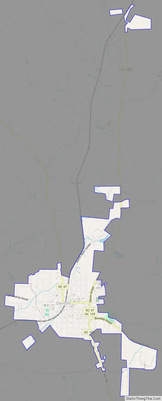
Denton Road Map
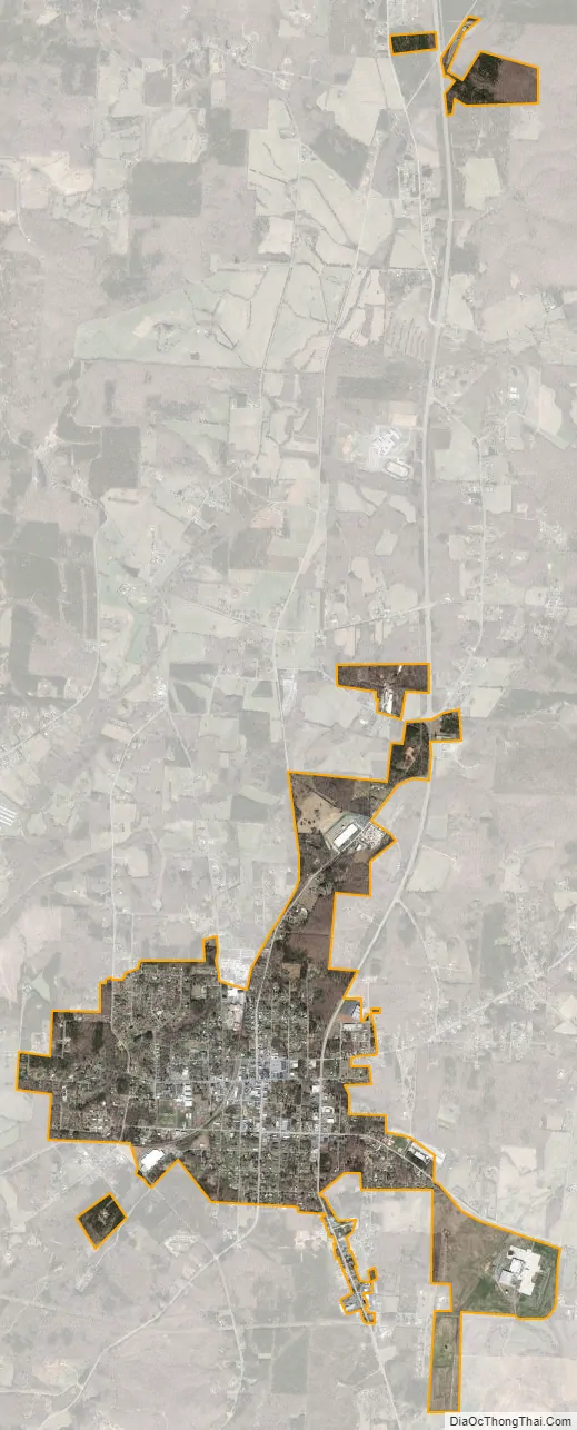
Denton city Satellite Map
Geography
Denton is located in southern Davidson County at 35°37′58″N 80°6′42″W / 35.63278°N 80.11167°W / 35.63278; -80.11167 (35.632752, -80.111603). It is 17 miles (27 km) southeast of Lexington, the county seat.
According to the United States Census Bureau, the town has a total area of 2.0 square miles (5.1 km), of which 0.006 square miles (0.015 km), or 0.31%, is water.
Climate
See also
Map of North Carolina State and its subdivision:- Alamance
- Alexander
- Alleghany
- Anson
- Ashe
- Avery
- Beaufort
- Bertie
- Bladen
- Brunswick
- Buncombe
- Burke
- Cabarrus
- Caldwell
- Camden
- Carteret
- Caswell
- Catawba
- Chatham
- Cherokee
- Chowan
- Clay
- Cleveland
- Columbus
- Craven
- Cumberland
- Currituck
- Dare
- Davidson
- Davie
- Duplin
- Durham
- Edgecombe
- Forsyth
- Franklin
- Gaston
- Gates
- Graham
- Granville
- Greene
- Guilford
- Halifax
- Harnett
- Haywood
- Henderson
- Hertford
- Hoke
- Hyde
- Iredell
- Jackson
- Johnston
- Jones
- Lee
- Lenoir
- Lincoln
- Macon
- Madison
- Martin
- McDowell
- Mecklenburg
- Mitchell
- Montgomery
- Moore
- Nash
- New Hanover
- Northampton
- Onslow
- Orange
- Pamlico
- Pasquotank
- Pender
- Perquimans
- Person
- Pitt
- Polk
- Randolph
- Richmond
- Robeson
- Rockingham
- Rowan
- Rutherford
- Sampson
- Scotland
- Stanly
- Stokes
- Surry
- Swain
- Transylvania
- Tyrrell
- Union
- Vance
- Wake
- Warren
- Washington
- Watauga
- Wayne
- Wilkes
- Wilson
- Yadkin
- Yancey
- Alabama
- Alaska
- Arizona
- Arkansas
- California
- Colorado
- Connecticut
- Delaware
- District of Columbia
- Florida
- Georgia
- Hawaii
- Idaho
- Illinois
- Indiana
- Iowa
- Kansas
- Kentucky
- Louisiana
- Maine
- Maryland
- Massachusetts
- Michigan
- Minnesota
- Mississippi
- Missouri
- Montana
- Nebraska
- Nevada
- New Hampshire
- New Jersey
- New Mexico
- New York
- North Carolina
- North Dakota
- Ohio
- Oklahoma
- Oregon
- Pennsylvania
- Rhode Island
- South Carolina
- South Dakota
- Tennessee
- Texas
- Utah
- Vermont
- Virginia
- Washington
- West Virginia
- Wisconsin
- Wyoming