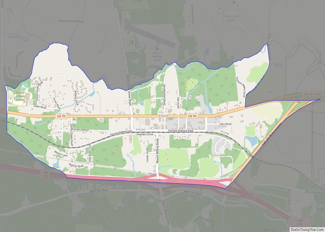
Efland is a census-designated place in Orange County, North Carolina, United States. As of the 2010 census it had a population of 734.
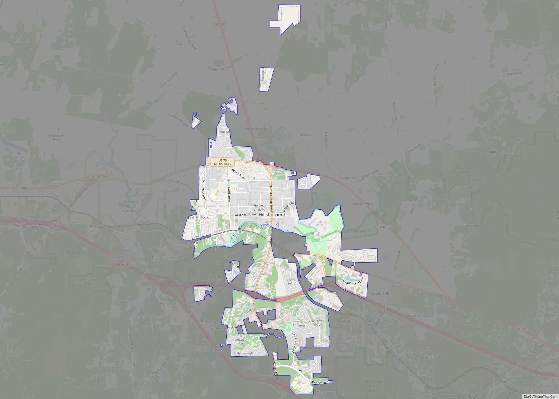
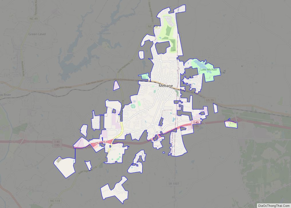
Efland is located along U.S. Route 70, 3 miles (5 km) west of Hillsborough, the Orange County seat, and 5 miles (8 km) east of Mebane. It is served by exit 160 from Interstate 85. The original name of the Efland community was Green Springs.
Efland Ruritan Club hosts most of the CDP’s activities, including an annual rodeo and the 4th of July and Christmas parades. The club was charted on December 7, 1981, and Ben Lloyd (former County Commissioner and Farmer) was its first president.
Efland has two schools, Efland-Cheeks Elementary School and Gravelly Hill Middle School. Located next to Gravelly Hill MS on West Ten Road is an Orange County soccer facility. The Soccer.Com Center offers 5 full size soccer fields, 1 practice soccer field, a walking track, a concession building and restroom facilities.
The David Faucette House was listed on the National Register of Historic Places in 1999.
| Name: | Efland CDP |
|---|---|
| LSAD Code: | 57 |
| LSAD Description: | CDP (suffix) |
| State: | North Carolina |
| County: | Orange County |
| Total Area: | 1.79 sq mi (4.64 km²) |
| Land Area: | 1.78 sq mi (4.61 km²) |
| Water Area: | 0.01 sq mi (0.03 km²) |
| Total Population: | 852 |
| Population Density: | 478.38/sq mi (184.73/km²) |
| ZIP code: | 27243 |
| Area code: | 919 and 984 |
| FIPS code: | 3720420 |
Online Interactive Map
Click on ![]() to view map in "full screen" mode.
to view map in "full screen" mode.
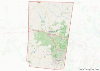
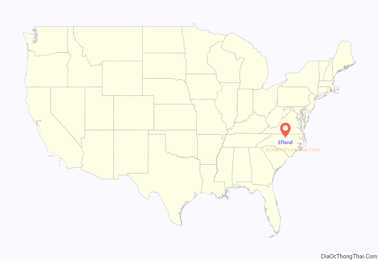
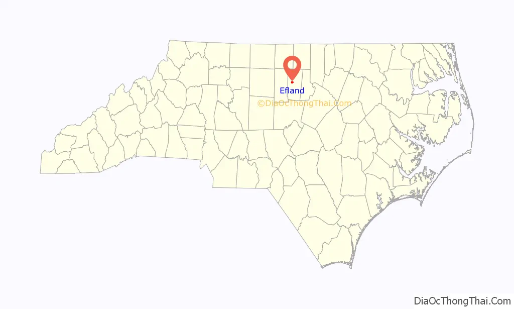
Efland location map. Where is Efland CDP?
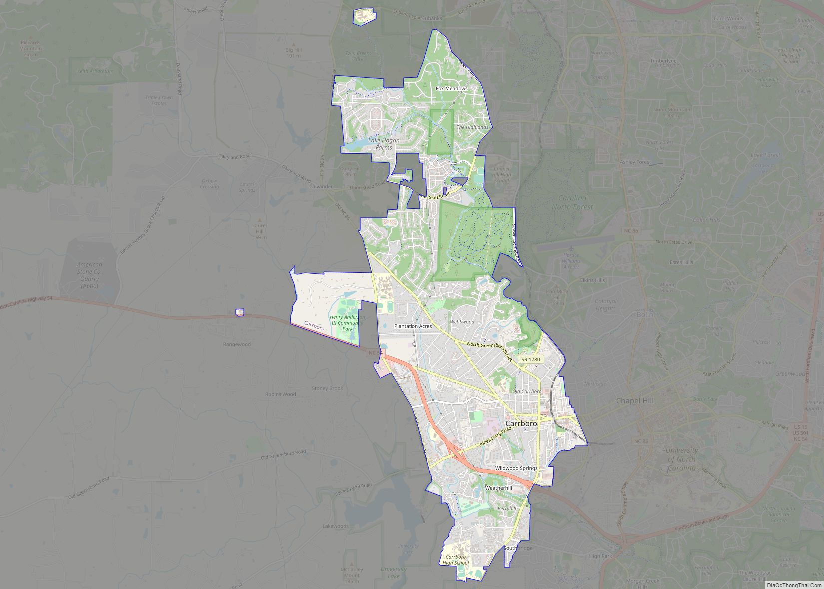
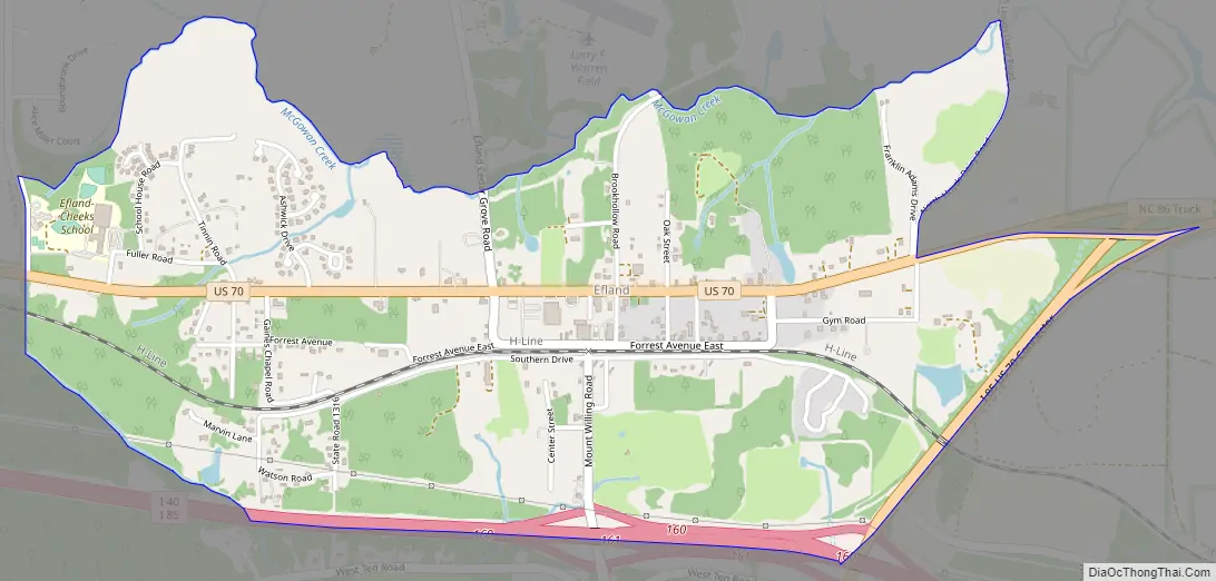
Efland Road Map
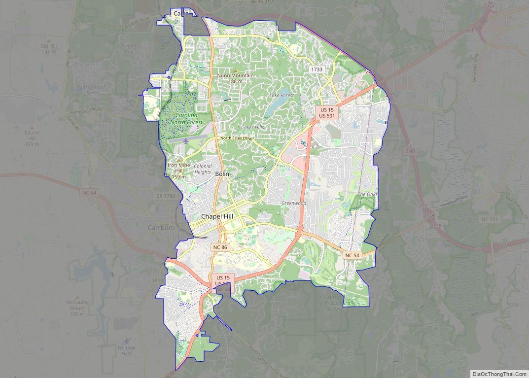
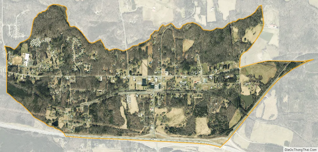
Efland city Satellite Map
See also
Map of North Carolina State and its subdivision:- Alamance
- Alexander
- Alleghany
- Anson
- Ashe
- Avery
- Beaufort
- Bertie
- Bladen
- Brunswick
- Buncombe
- Burke
- Cabarrus
- Caldwell
- Camden
- Carteret
- Caswell
- Catawba
- Chatham
- Cherokee
- Chowan
- Clay
- Cleveland
- Columbus
- Craven
- Cumberland
- Currituck
- Dare
- Davidson
- Davie
- Duplin
- Durham
- Edgecombe
- Forsyth
- Franklin
- Gaston
- Gates
- Graham
- Granville
- Greene
- Guilford
- Halifax
- Harnett
- Haywood
- Henderson
- Hertford
- Hoke
- Hyde
- Iredell
- Jackson
- Johnston
- Jones
- Lee
- Lenoir
- Lincoln
- Macon
- Madison
- Martin
- McDowell
- Mecklenburg
- Mitchell
- Montgomery
- Moore
- Nash
- New Hanover
- Northampton
- Onslow
- Orange
- Pamlico
- Pasquotank
- Pender
- Perquimans
- Person
- Pitt
- Polk
- Randolph
- Richmond
- Robeson
- Rockingham
- Rowan
- Rutherford
- Sampson
- Scotland
- Stanly
- Stokes
- Surry
- Swain
- Transylvania
- Tyrrell
- Union
- Vance
- Wake
- Warren
- Washington
- Watauga
- Wayne
- Wilkes
- Wilson
- Yadkin
- Yancey
- Alabama
- Alaska
- Arizona
- Arkansas
- California
- Colorado
- Connecticut
- Delaware
- District of Columbia
- Florida
- Georgia
- Hawaii
- Idaho
- Illinois
- Indiana
- Iowa
- Kansas
- Kentucky
- Louisiana
- Maine
- Maryland
- Massachusetts
- Michigan
- Minnesota
- Mississippi
- Missouri
- Montana
- Nebraska
- Nevada
- New Hampshire
- New Jersey
- New Mexico
- New York
- North Carolina
- North Dakota
- Ohio
- Oklahoma
- Oregon
- Pennsylvania
- Rhode Island
- South Carolina
- South Dakota
- Tennessee
- Texas
- Utah
- Vermont
- Virginia
- Washington
- West Virginia
- Wisconsin
- Wyoming