Spindale is a town in Rutherford County, North Carolina, United States. The population was 4,321 at the 2010 census.
| Name: | Spindale town |
|---|---|
| LSAD Code: | 43 |
| LSAD Description: | town (suffix) |
| State: | North Carolina |
| County: | Rutherford County |
| Elevation: | 1,089 ft (332 m) |
| Total Area: | 5.41 sq mi (14.01 km²) |
| Land Area: | 5.41 sq mi (14.01 km²) |
| Water Area: | 0.00 sq mi (0.00 km²) |
| Total Population: | 4,225 |
| Population Density: | 781.25/sq mi (301.66/km²) |
| ZIP code: | 28160 |
| Area code: | 828 |
| FIPS code: | 3763880 |
| GNISfeature ID: | 0995305 |
| Website: | www.spindalenc.net/home |
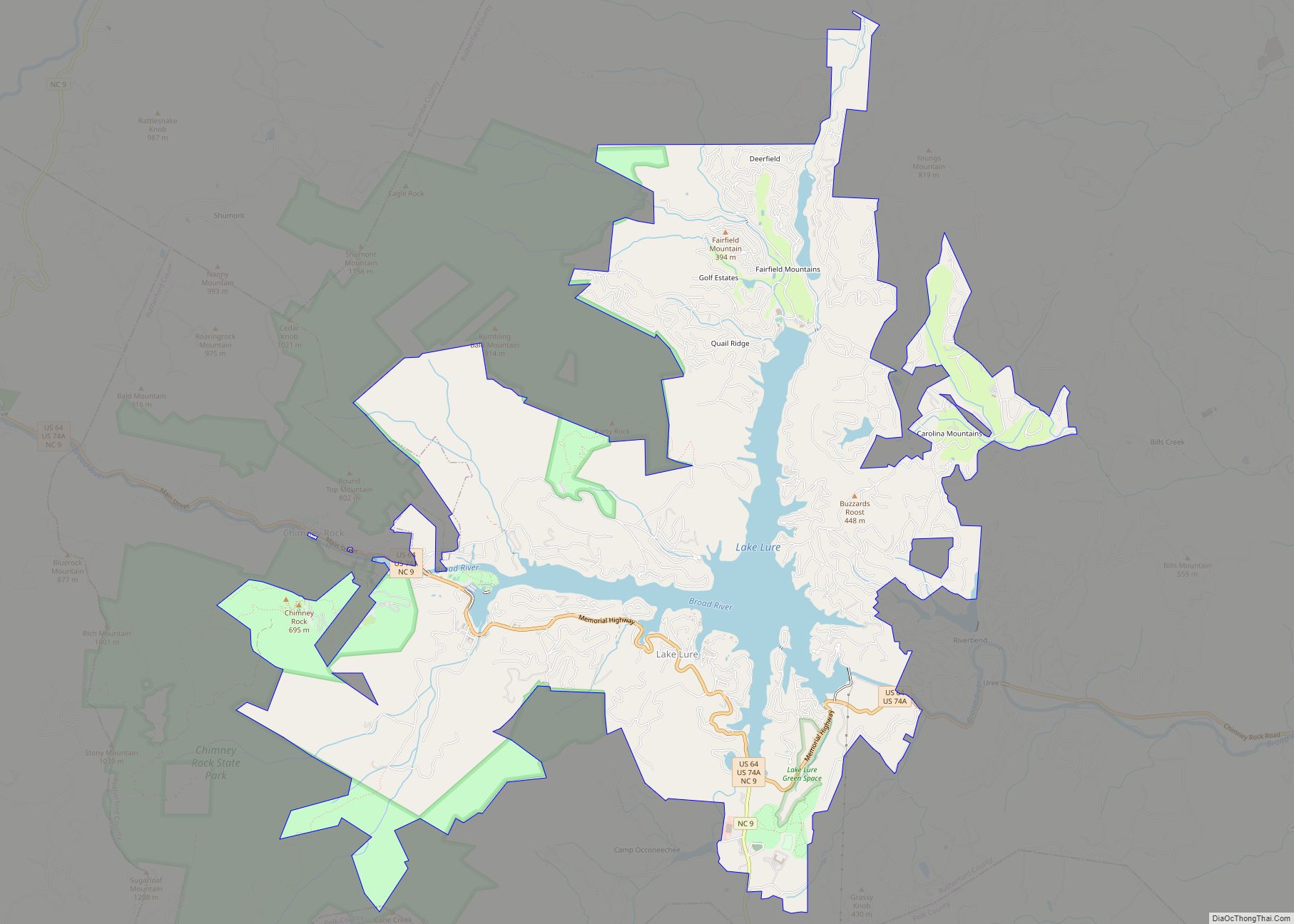
Online Interactive Map
Click on ![]() to view map in "full screen" mode.
to view map in "full screen" mode.
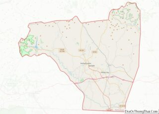
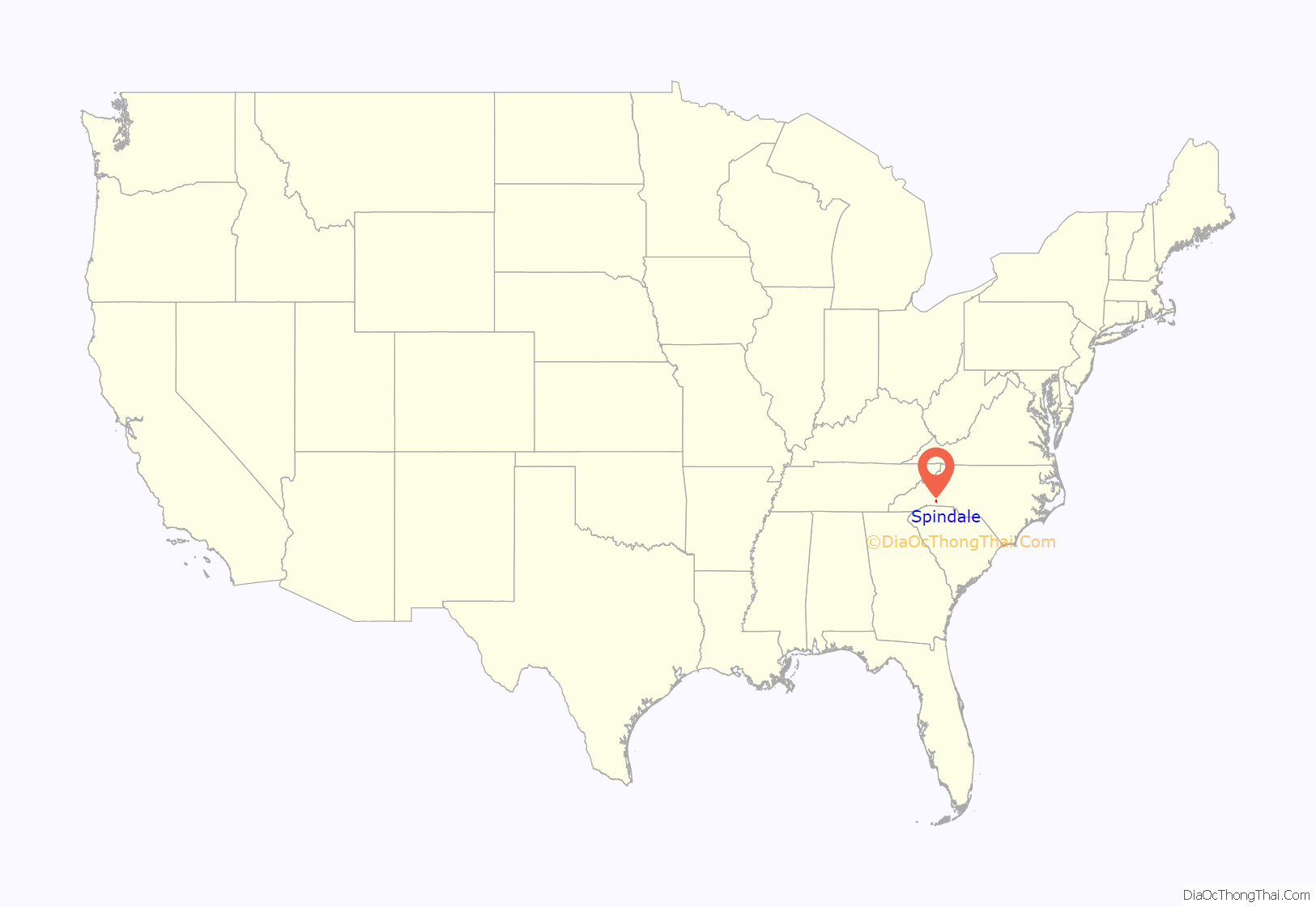
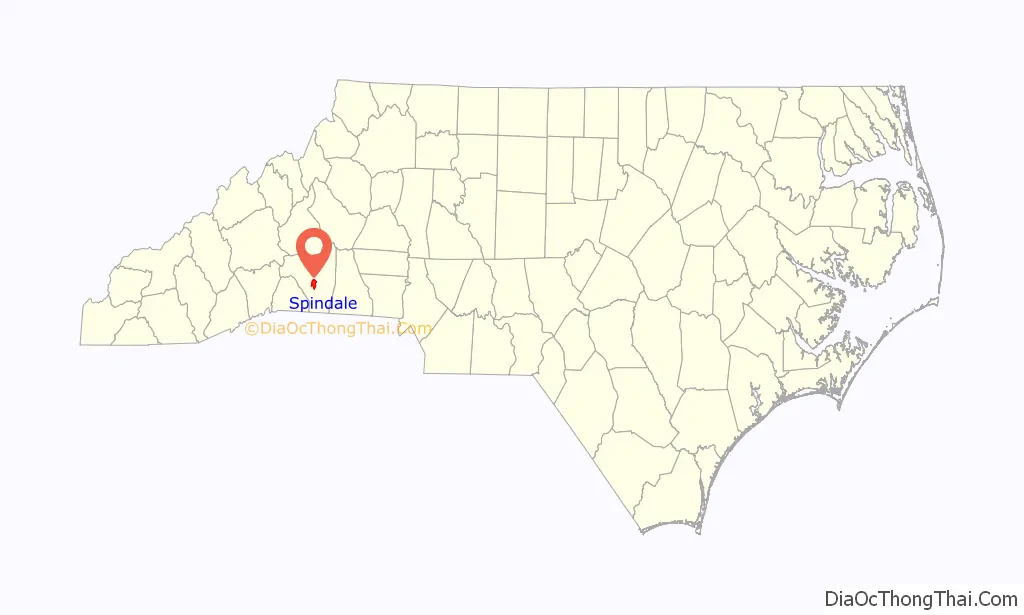
Spindale location map. Where is Spindale town?
History
Spindale originated as a mill town from its first textile mill, Spencer Mills, in 1916, until its last textile mill, Stonecutter Mills, organized by J. B. Tanner in 1920, which closed in 1999. The town of Spindale was incorporated on August 21, 1923. In 1939, the North Carolina General Assembly passed a local act that extended the corporate limits of the town of Spindale, which nearly doubled its size in area.
In 1926, the iconic Spindale House was opened as a community and recreation center and as a memorial building, presented to the town by K. S. Tanner and other members of the Tanner family.
Opening in 1926, a classic landmark of the Spindale mill village was Greene’s Grocery Store located on Spindale Street, which stood for over five decades as the number one volume store for many mill families, featuring a home delivery truck service, a credit account system, and a fresh meat market.
The first organized churches in Spindale were First Baptist in 1917, Methodist in 1919, Presbyterian in 1922, and Spencer Baptist in 1926.
In 1930, the Carolina Theater opened on Main Street in Spindale, which could seat 360 patrons and operated until it closed in 1961.
The Spindale Sun newspaper was established in 1941.
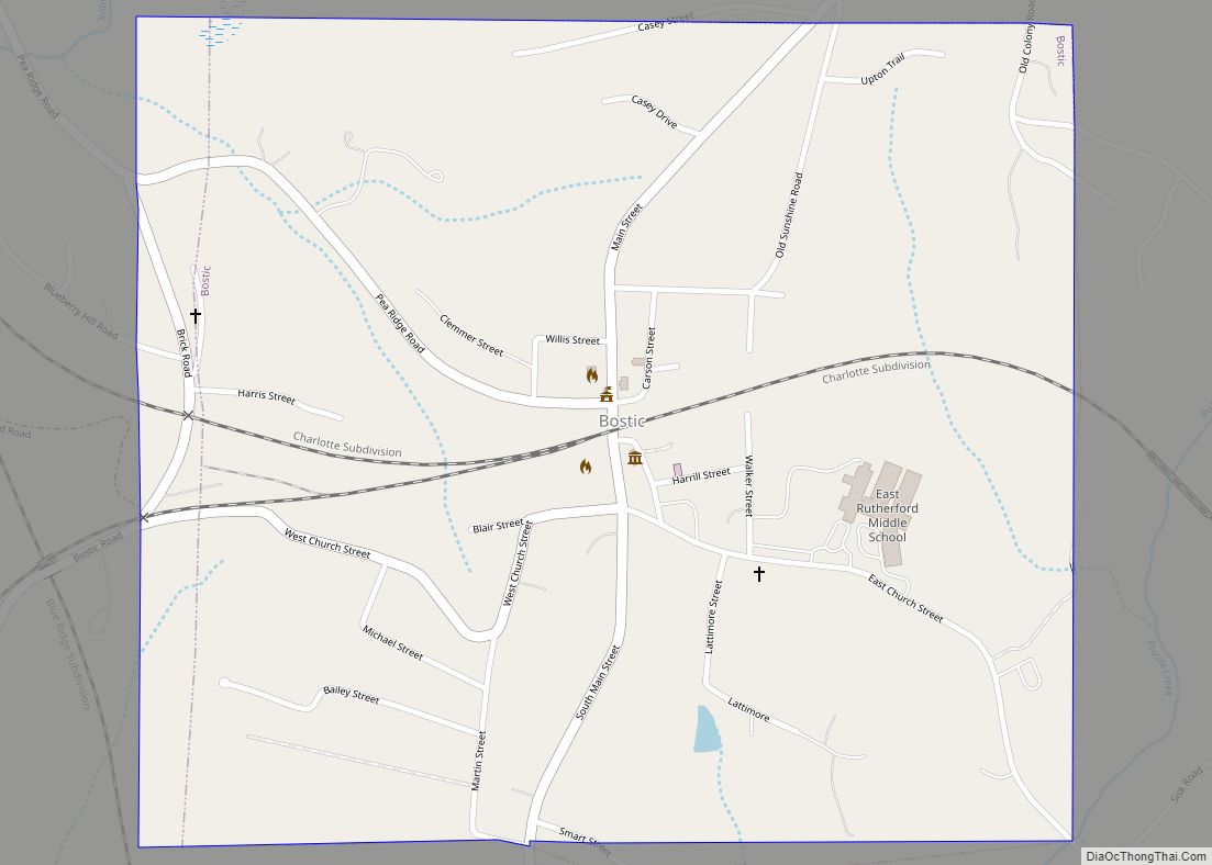
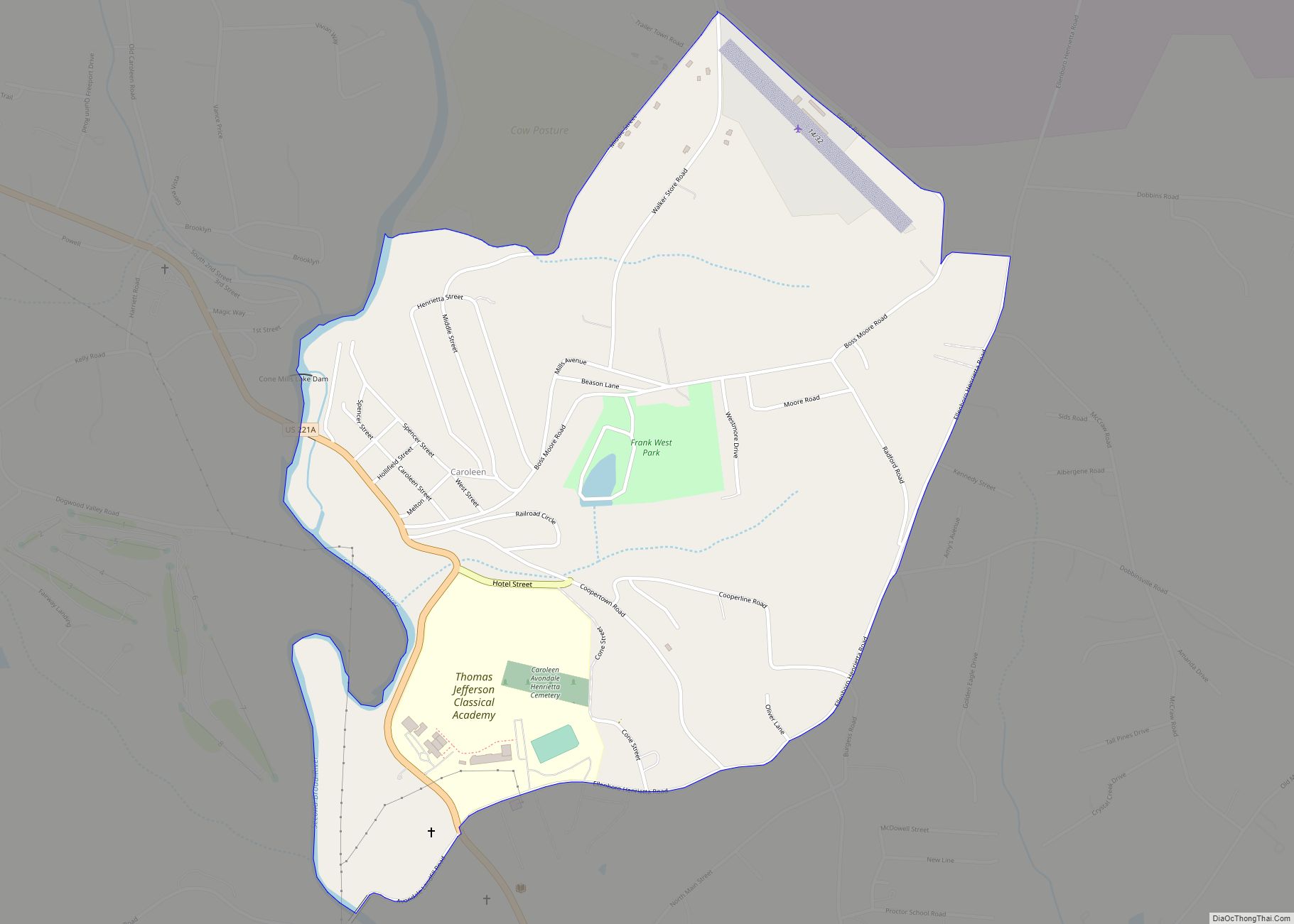
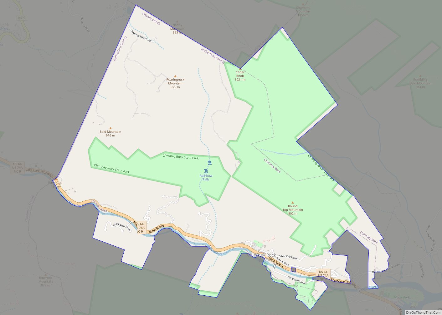
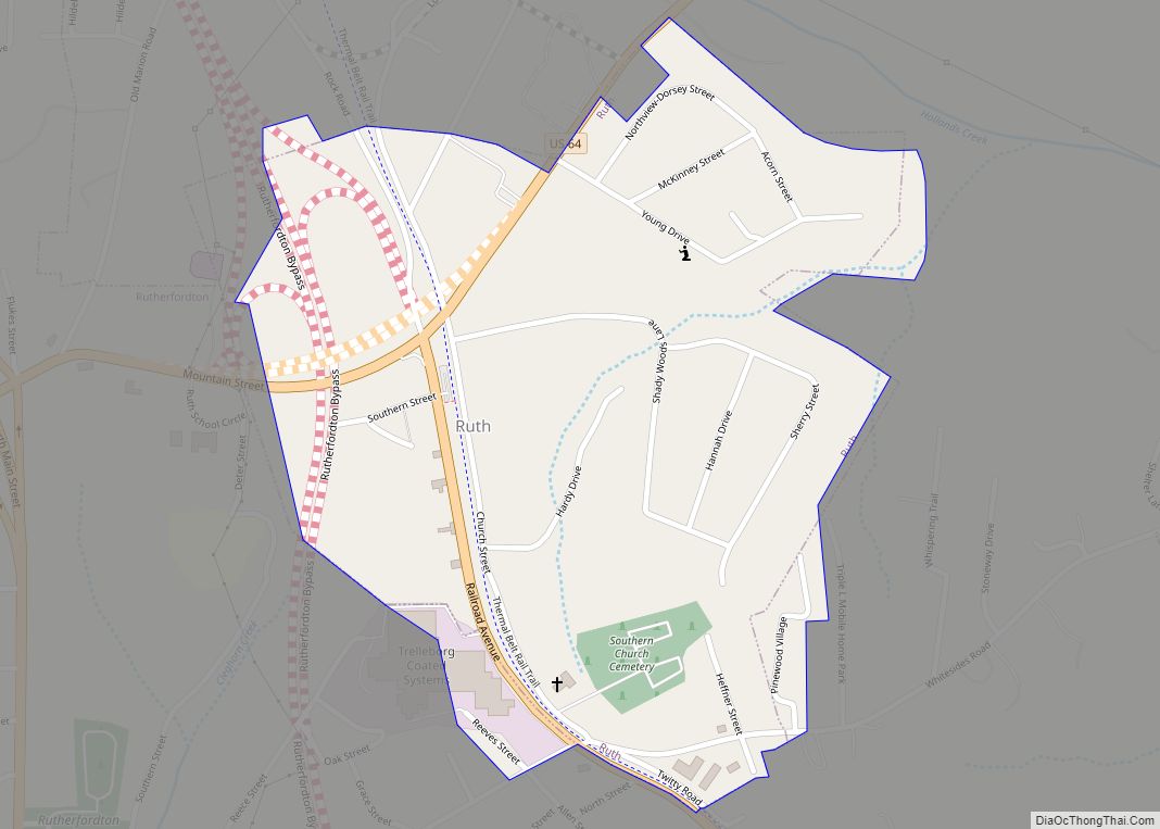
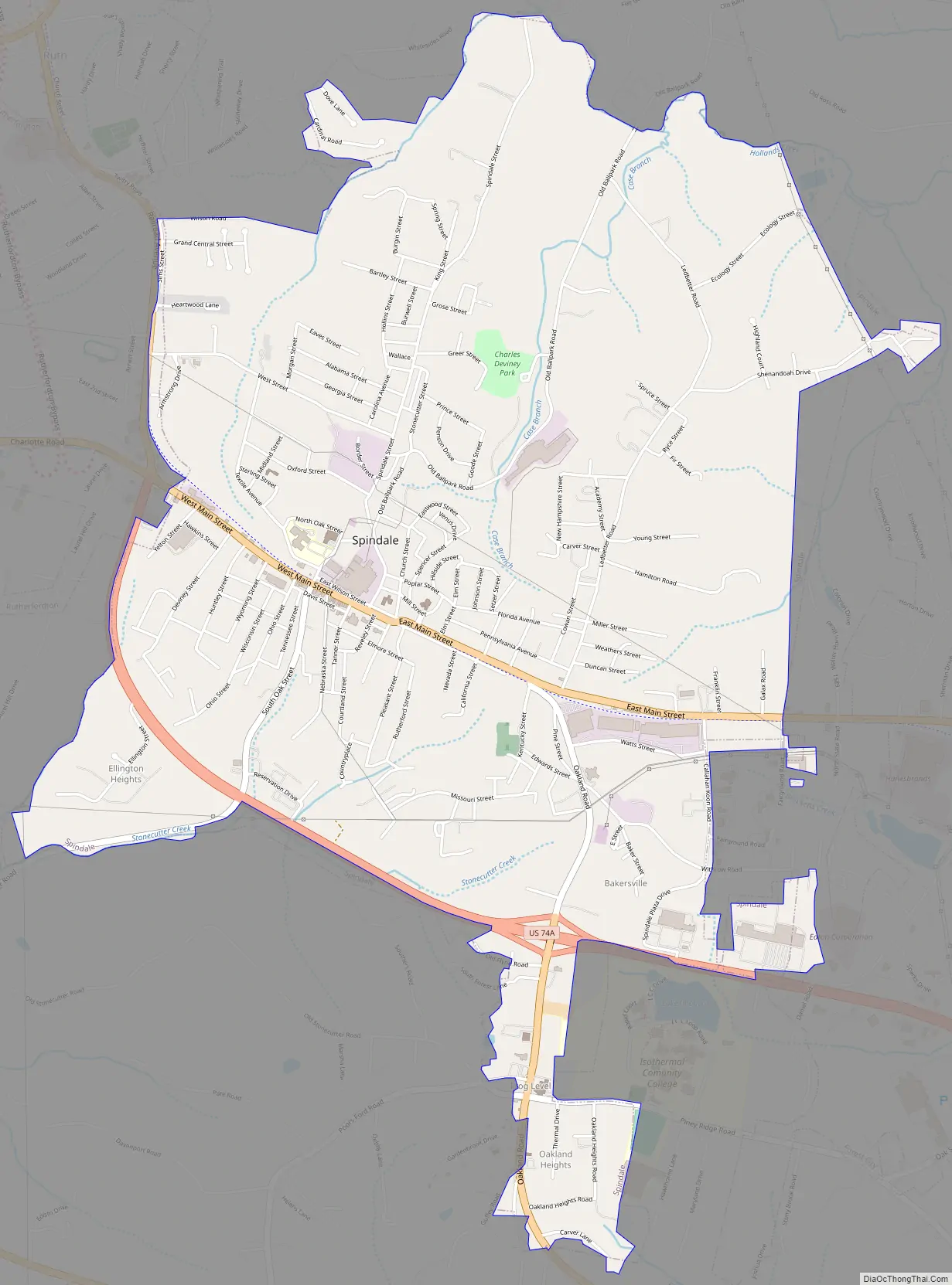
Spindale Road Map
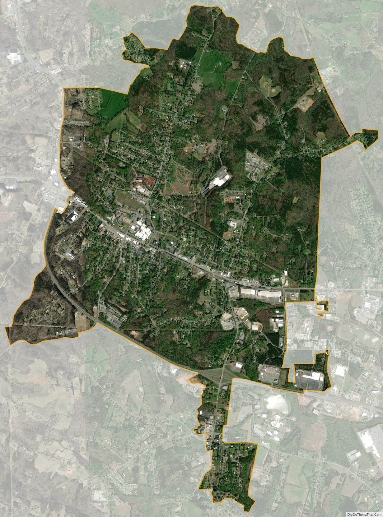
Spindale city Satellite Map
Geography
Spindale is located along U.S. Route 221A between Forest City to the southeast and Rutherfordton to the west. U.S. Route 74A passes through the southern part of town.
According to the United States Census Bureau, the town has a total area of 5.5 square miles (14 km), all of it land.
See also
Map of North Carolina State and its subdivision:- Alamance
- Alexander
- Alleghany
- Anson
- Ashe
- Avery
- Beaufort
- Bertie
- Bladen
- Brunswick
- Buncombe
- Burke
- Cabarrus
- Caldwell
- Camden
- Carteret
- Caswell
- Catawba
- Chatham
- Cherokee
- Chowan
- Clay
- Cleveland
- Columbus
- Craven
- Cumberland
- Currituck
- Dare
- Davidson
- Davie
- Duplin
- Durham
- Edgecombe
- Forsyth
- Franklin
- Gaston
- Gates
- Graham
- Granville
- Greene
- Guilford
- Halifax
- Harnett
- Haywood
- Henderson
- Hertford
- Hoke
- Hyde
- Iredell
- Jackson
- Johnston
- Jones
- Lee
- Lenoir
- Lincoln
- Macon
- Madison
- Martin
- McDowell
- Mecklenburg
- Mitchell
- Montgomery
- Moore
- Nash
- New Hanover
- Northampton
- Onslow
- Orange
- Pamlico
- Pasquotank
- Pender
- Perquimans
- Person
- Pitt
- Polk
- Randolph
- Richmond
- Robeson
- Rockingham
- Rowan
- Rutherford
- Sampson
- Scotland
- Stanly
- Stokes
- Surry
- Swain
- Transylvania
- Tyrrell
- Union
- Vance
- Wake
- Warren
- Washington
- Watauga
- Wayne
- Wilkes
- Wilson
- Yadkin
- Yancey
- Alabama
- Alaska
- Arizona
- Arkansas
- California
- Colorado
- Connecticut
- Delaware
- District of Columbia
- Florida
- Georgia
- Hawaii
- Idaho
- Illinois
- Indiana
- Iowa
- Kansas
- Kentucky
- Louisiana
- Maine
- Maryland
- Massachusetts
- Michigan
- Minnesota
- Mississippi
- Missouri
- Montana
- Nebraska
- Nevada
- New Hampshire
- New Jersey
- New Mexico
- New York
- North Carolina
- North Dakota
- Ohio
- Oklahoma
- Oregon
- Pennsylvania
- Rhode Island
- South Carolina
- South Dakota
- Tennessee
- Texas
- Utah
- Vermont
- Virginia
- Washington
- West Virginia
- Wisconsin
- Wyoming