Fruitland is an unincorporated community and census-designated place (CDP) in Henderson County, North Carolina, United States. Its population was 2,031 as of the 2010 census.
| Name: | Fruitland CDP |
|---|---|
| LSAD Code: | 57 |
| LSAD Description: | CDP (suffix) |
| State: | North Carolina |
| County: | Henderson County |
| Elevation: | 2,215 ft (675 m) |
| Total Area: | 8.07 sq mi (20.91 km²) |
| Land Area: | 8.04 sq mi (20.83 km²) |
| Water Area: | 0.03 sq mi (0.08 km²) |
| Total Population: | 2,257 |
| Population Density: | 280.65/sq mi (108.36/km²) |
| Area code: | 828 |
| FIPS code: | 3725160 |
| GNISfeature ID: | 985471 |
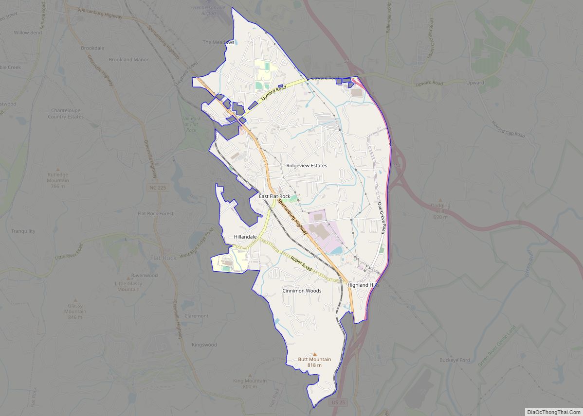
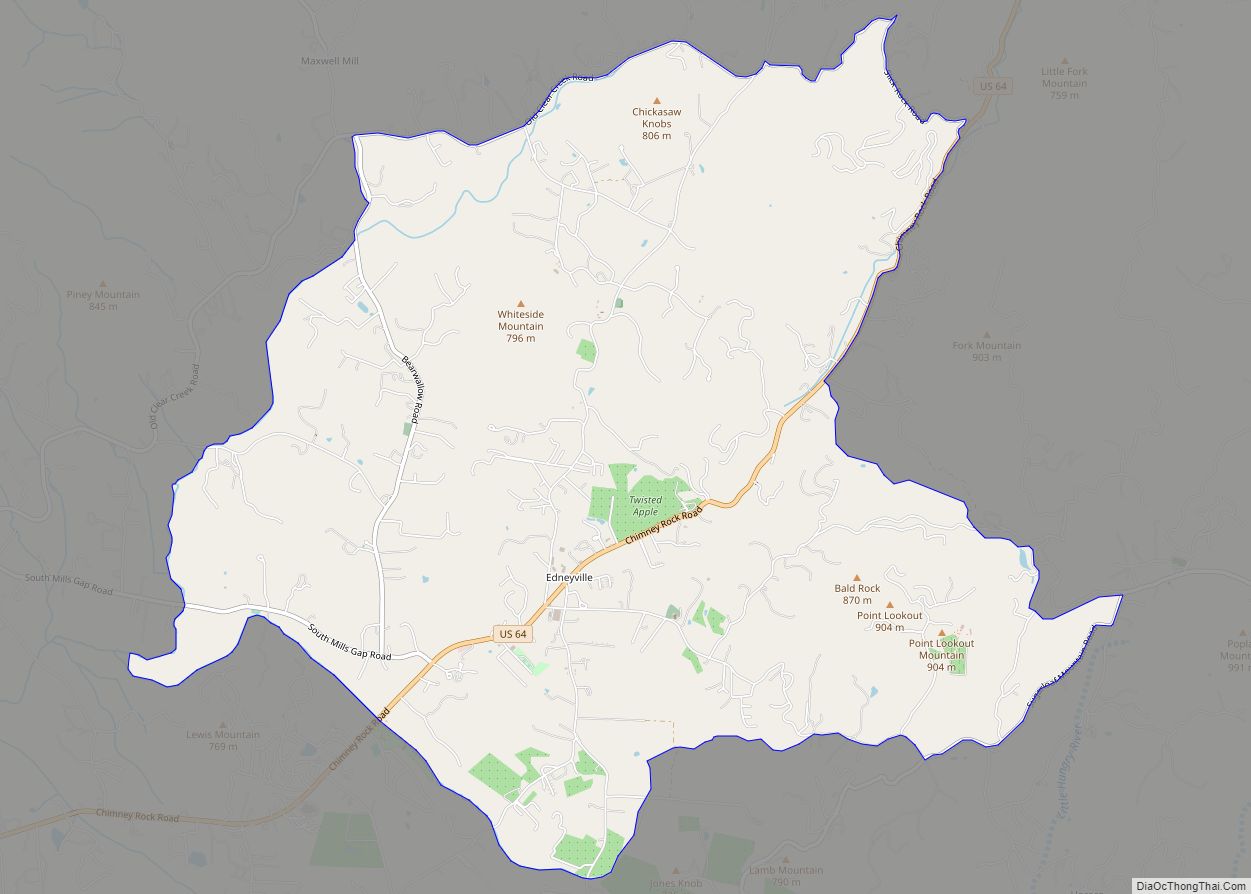
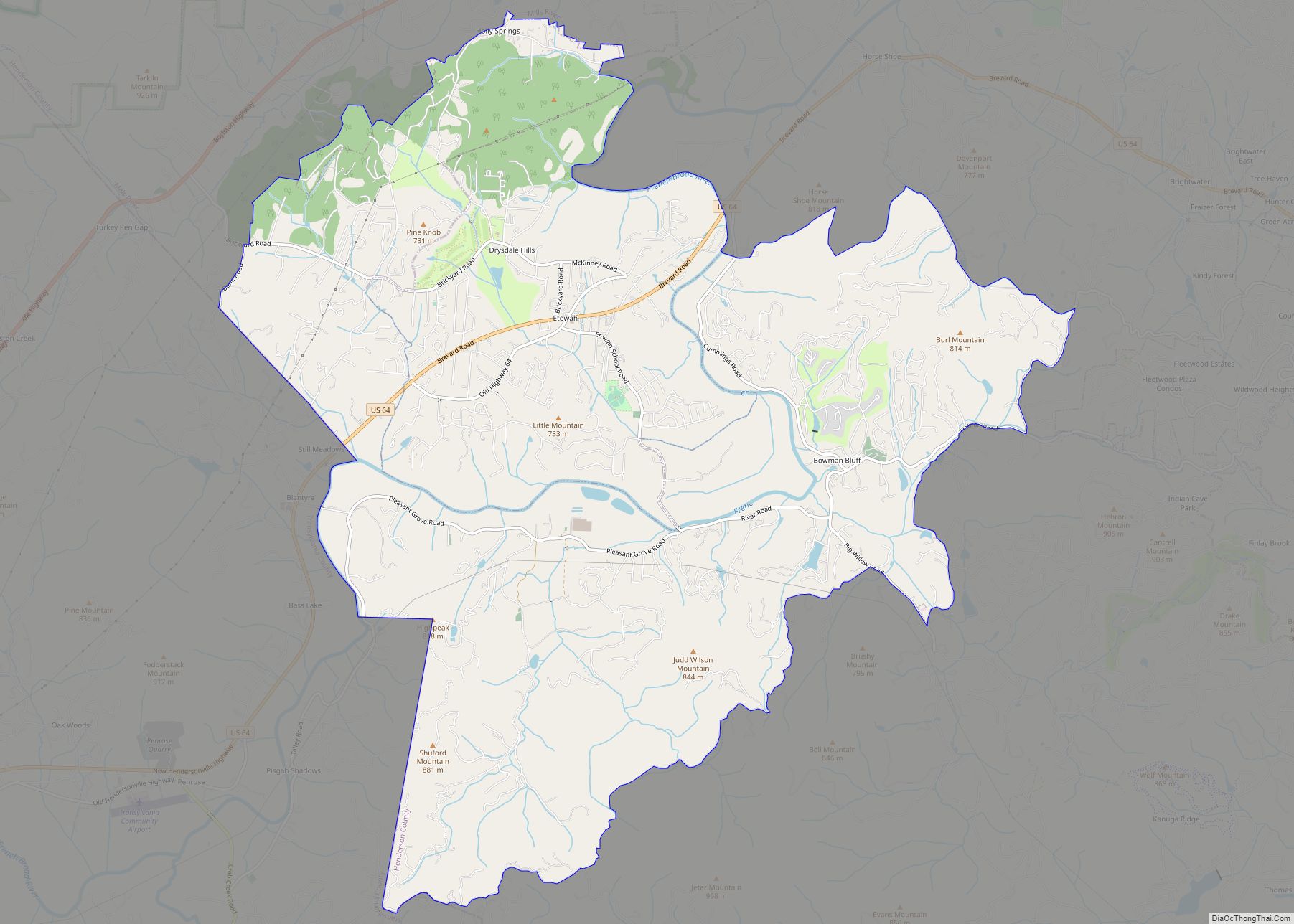
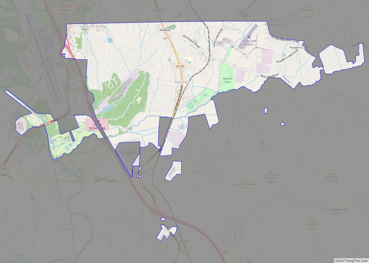
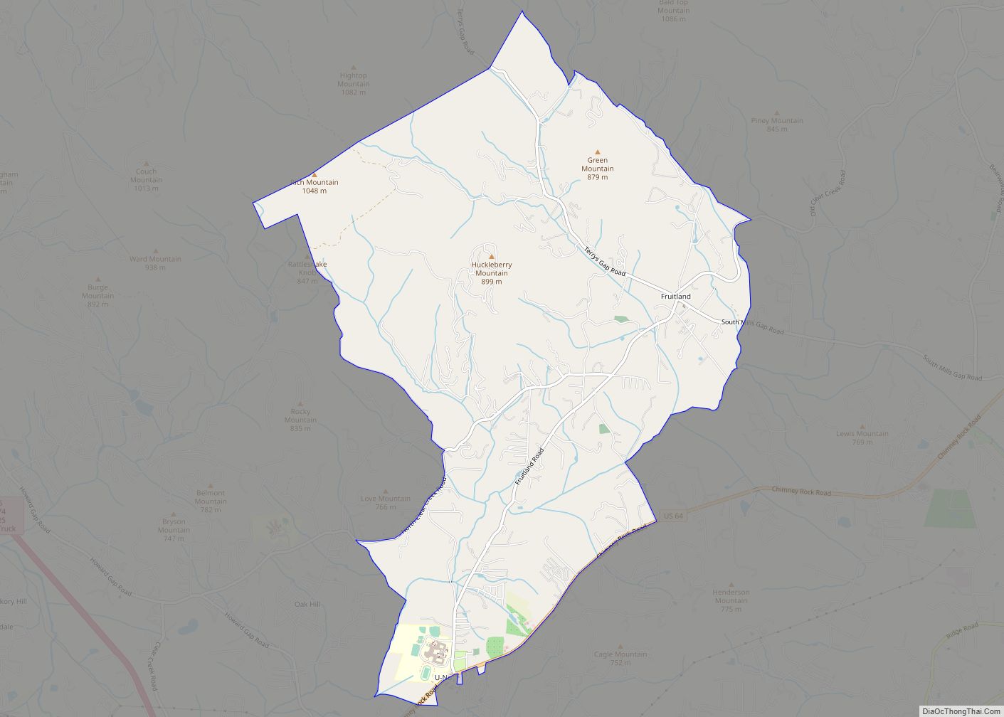
Online Interactive Map
Click on ![]() to view map in "full screen" mode.
to view map in "full screen" mode.
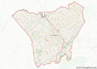
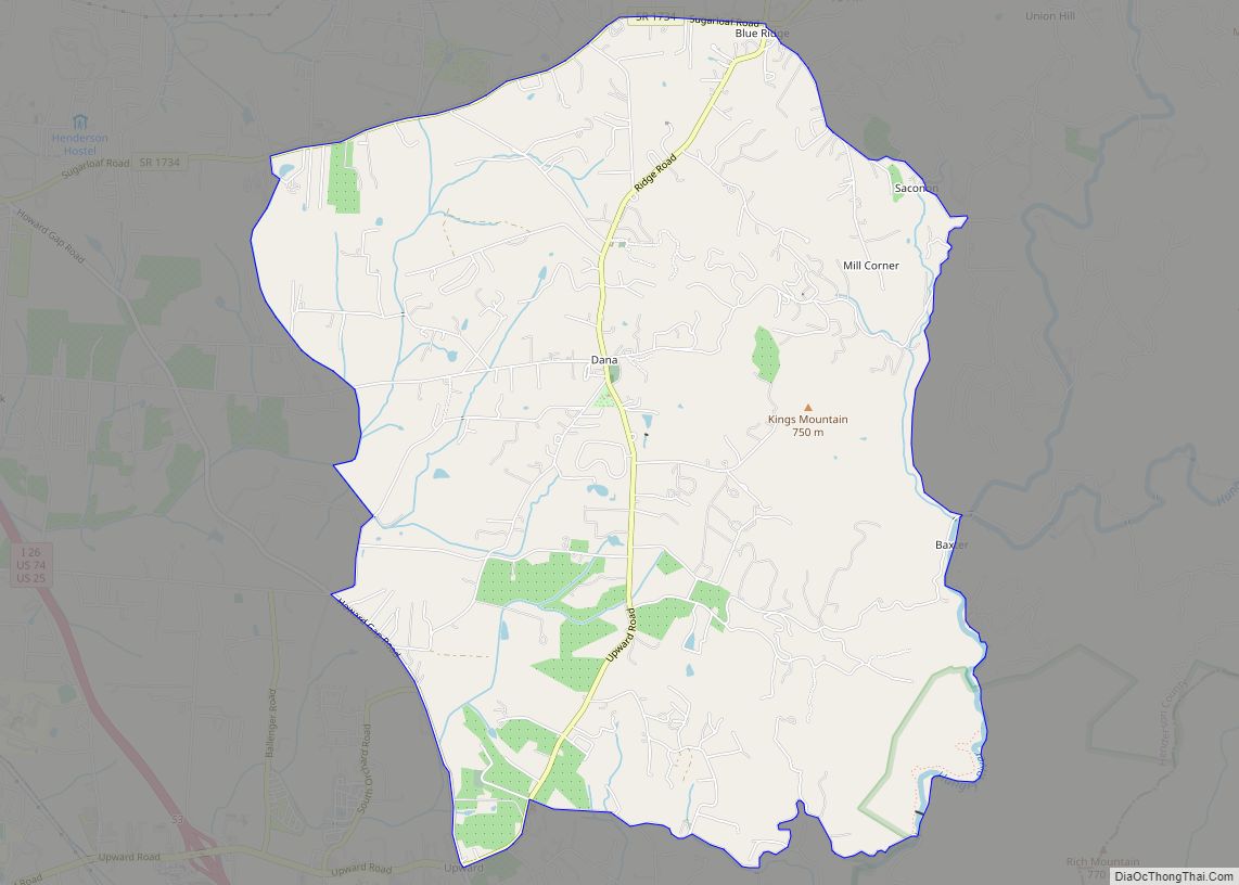
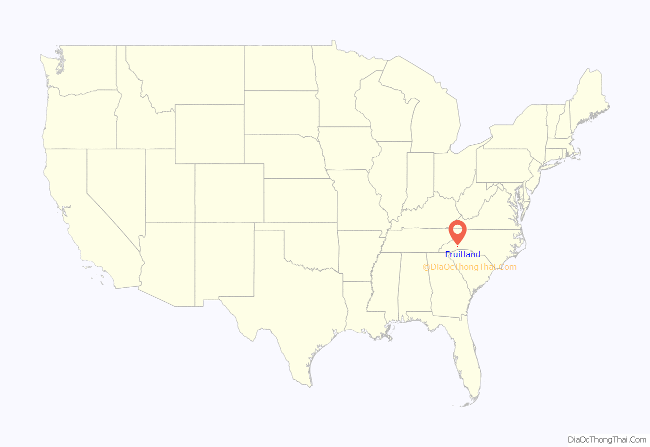
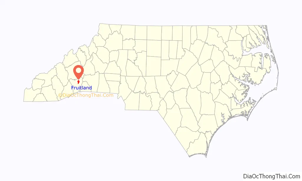
Fruitland location map. Where is Fruitland CDP?
History
A post office called Fruitland was established in 1883, and remained in operation until 1906. The community was named for apple orchards near the original town site.
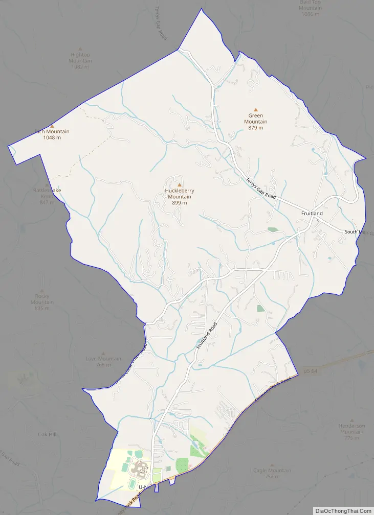
Fruitland Road Map
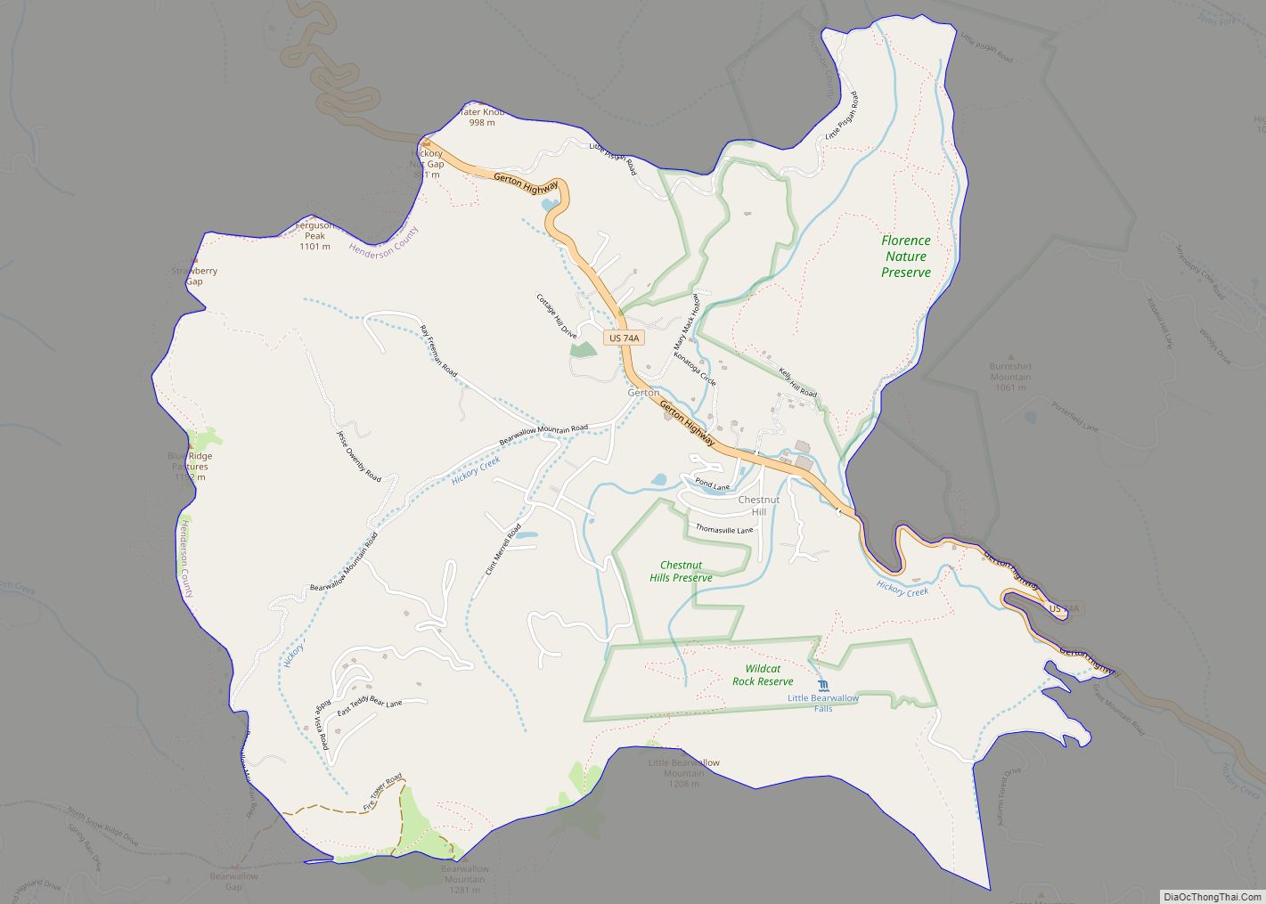
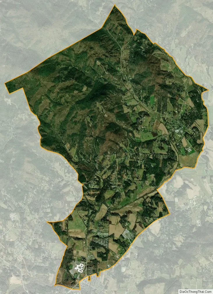
Fruitland city Satellite Map
Geography
Fruitland is in northeastern Henderson County, 7 miles (11 km) northeast of Hendersonville, the county seat. U.S. Route 64 runs along the southern edge of the CDP, leading west to Hendersonville and northeast 8 miles (13 km) to Bat Cave. Asheville is 19 miles (31 km) to the northwest via Terrys Gap Road.
According to the U.S. Census Bureau, the Fruitland CDP has a total area of 8.1 square miles (20.9 km), of which 0.03 square miles (0.07 km), or 0.35%, are water.
See also
Map of North Carolina State and its subdivision:- Alamance
- Alexander
- Alleghany
- Anson
- Ashe
- Avery
- Beaufort
- Bertie
- Bladen
- Brunswick
- Buncombe
- Burke
- Cabarrus
- Caldwell
- Camden
- Carteret
- Caswell
- Catawba
- Chatham
- Cherokee
- Chowan
- Clay
- Cleveland
- Columbus
- Craven
- Cumberland
- Currituck
- Dare
- Davidson
- Davie
- Duplin
- Durham
- Edgecombe
- Forsyth
- Franklin
- Gaston
- Gates
- Graham
- Granville
- Greene
- Guilford
- Halifax
- Harnett
- Haywood
- Henderson
- Hertford
- Hoke
- Hyde
- Iredell
- Jackson
- Johnston
- Jones
- Lee
- Lenoir
- Lincoln
- Macon
- Madison
- Martin
- McDowell
- Mecklenburg
- Mitchell
- Montgomery
- Moore
- Nash
- New Hanover
- Northampton
- Onslow
- Orange
- Pamlico
- Pasquotank
- Pender
- Perquimans
- Person
- Pitt
- Polk
- Randolph
- Richmond
- Robeson
- Rockingham
- Rowan
- Rutherford
- Sampson
- Scotland
- Stanly
- Stokes
- Surry
- Swain
- Transylvania
- Tyrrell
- Union
- Vance
- Wake
- Warren
- Washington
- Watauga
- Wayne
- Wilkes
- Wilson
- Yadkin
- Yancey
- Alabama
- Alaska
- Arizona
- Arkansas
- California
- Colorado
- Connecticut
- Delaware
- District of Columbia
- Florida
- Georgia
- Hawaii
- Idaho
- Illinois
- Indiana
- Iowa
- Kansas
- Kentucky
- Louisiana
- Maine
- Maryland
- Massachusetts
- Michigan
- Minnesota
- Mississippi
- Missouri
- Montana
- Nebraska
- Nevada
- New Hampshire
- New Jersey
- New Mexico
- New York
- North Carolina
- North Dakota
- Ohio
- Oklahoma
- Oregon
- Pennsylvania
- Rhode Island
- South Carolina
- South Dakota
- Tennessee
- Texas
- Utah
- Vermont
- Virginia
- Washington
- West Virginia
- Wisconsin
- Wyoming