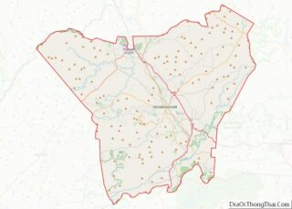
Gerton is an unincorporated community and census-designated place (CDP) in Henderson County, North Carolina, United States. As of the 2010 census it had a population of 254. It is part of the Asheville Metropolitan Statistical Area.
| Name: | Gerton CDP |
|---|---|
| LSAD Code: | 57 |
| LSAD Description: | CDP (suffix) |
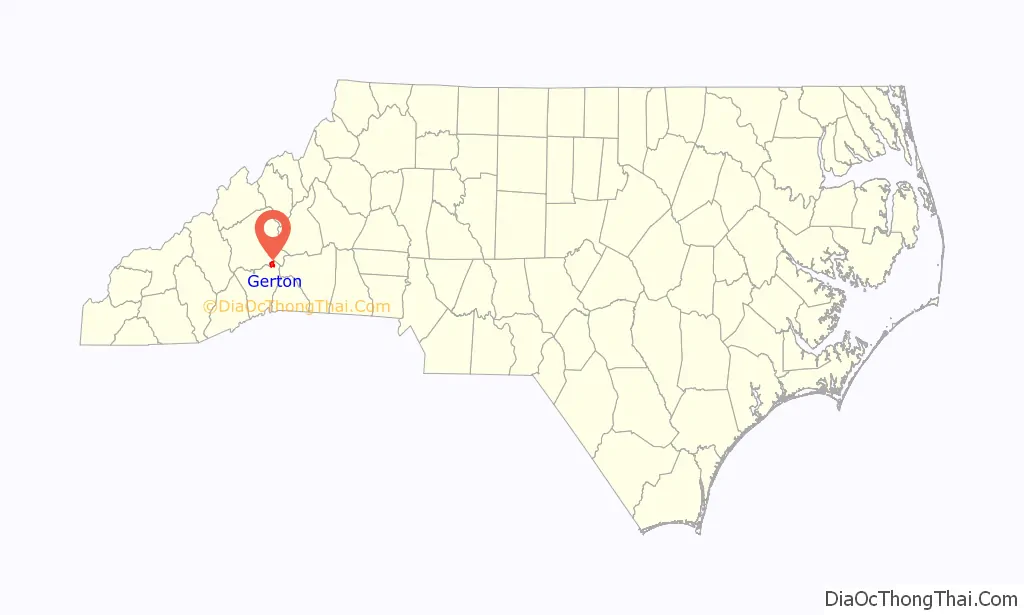
| State: | North Carolina |
| County: | Henderson County |
| Elevation: | 2,671 ft (814 m) |
| Total Area: | 3.72 sq mi (9.63 km²) |
| Land Area: | 3.72 sq mi (9.63 km²) |
| Water Area: | 0.00 sq mi (0.00 km²) |
| Total Population: | 290 |
| Population Density: | 77.96/sq mi (30.10/km²) |
| ZIP code: | 28735 |
| Area code: | 828 |
| FIPS code: | 3725900 |
| GNISfeature ID: | 985642 |
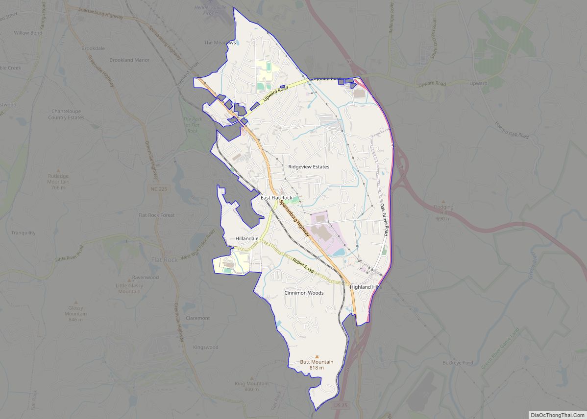
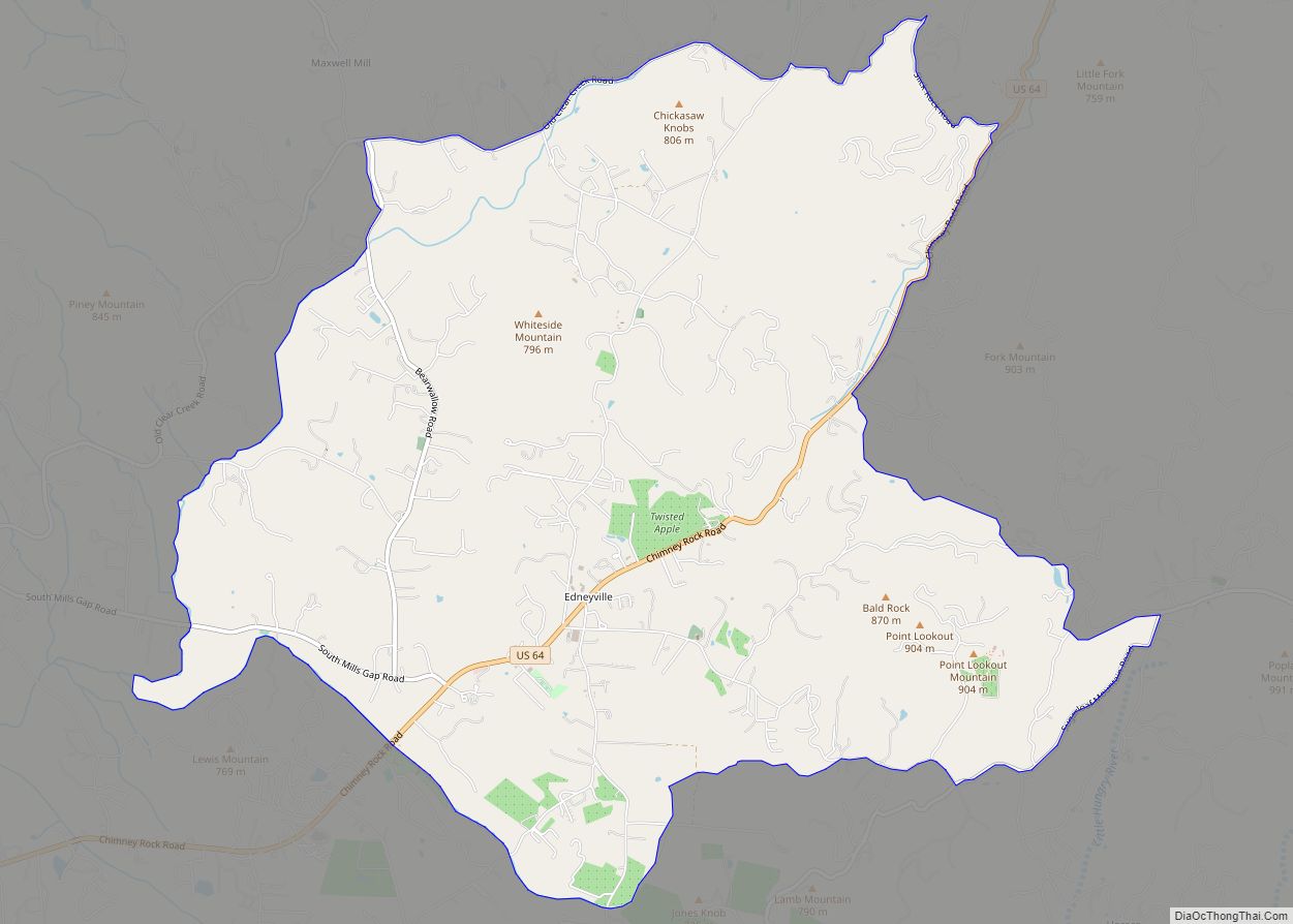
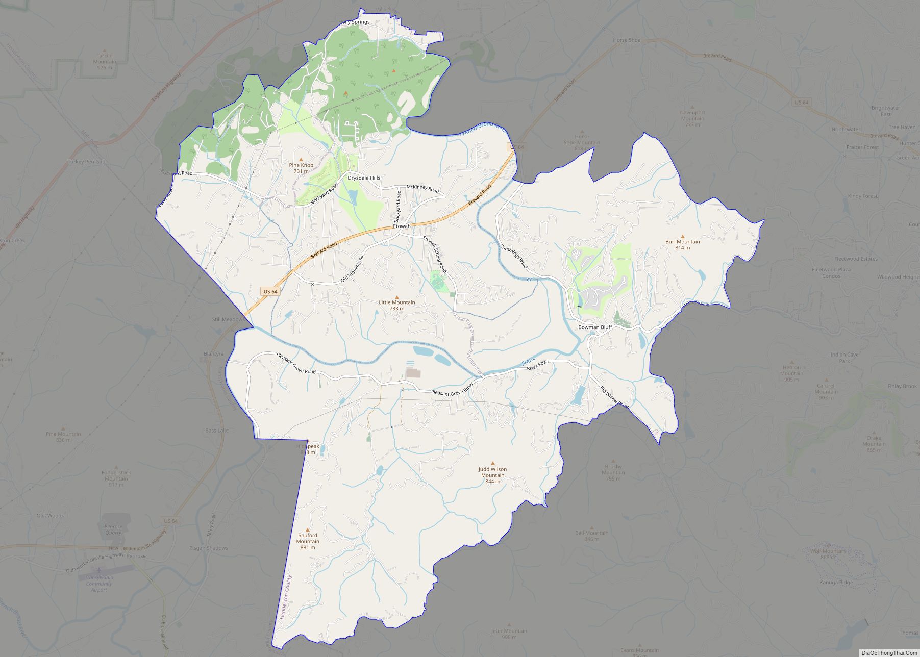
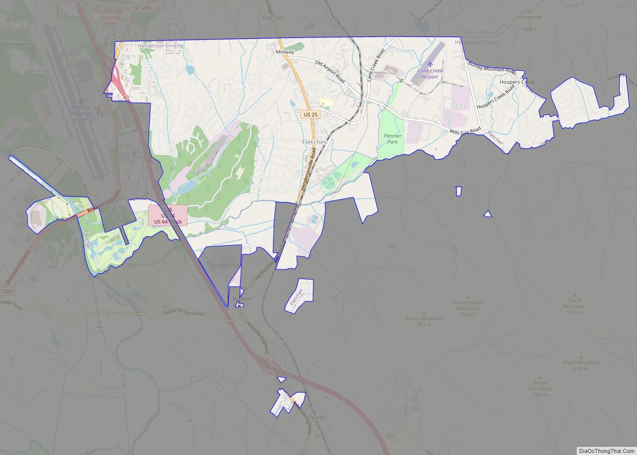
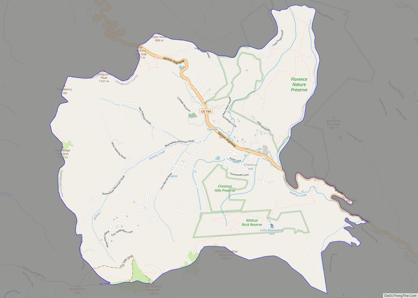
Online Interactive Map
Click on ![]() to view map in "full screen" mode.
to view map in "full screen" mode.
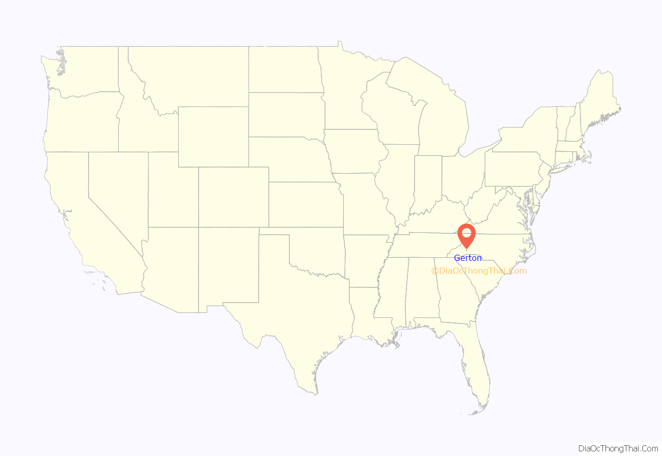
Gerton location map. Where is Gerton CDP?
History
The area was first connected by a Drovers’ road, a natural access into the interior of the Blue Ridge Mountains for drovers who were moving livestock, mostly flocks of turkeys and some geese, herds of hogs and some cattle in and out of the mountains to the markets. Established in 1798, it connected the area with Asheville, following on what is today U.S. Route 74A (US 74A). In 1883 the “Pump” Post Office was opened, named after a pump that supplied water off Bearwallow Mountain to the community in the valley. In 1902, the United States Post Office issued a new cancelling stamp for the post office, but had misspelled Pump as Rump. The residents, being both upset and embarrassed, decided to rename the community after a long-time and beloved school teacher in the community, Gertrude Freeman. However, having been known to be very shy and modest, it was decided to use a contraction of her name instead, Gerton.
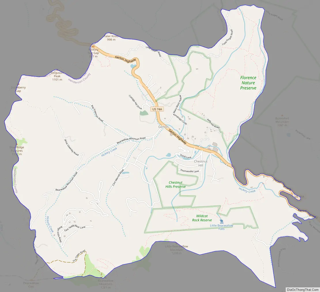
Gerton Road Map
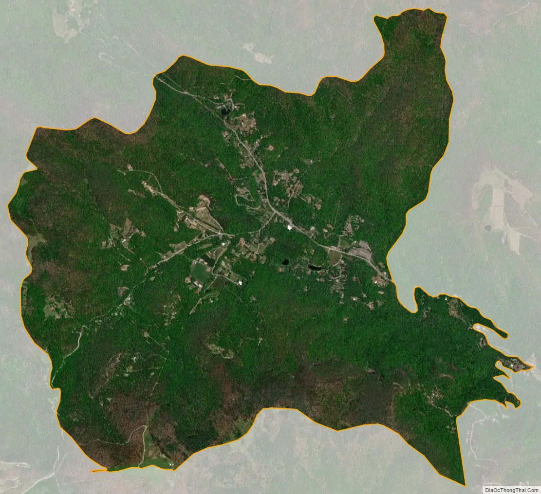
Gerton city Satellite Map
Geography
The community is located along Gerton Highway (US 74A), 19.7 miles (31.7 km) northeast of Hendersonville, along the banks of Hickory Creek, part of the Broad River watershed. It is 17 miles (27 km) southeast of Asheville via US 74A.
Just northeast of the town is the Florence Nature preserve, containing several miles of hiking trails, and connecting to other trails surrounding the town.
According to the U.S. Census Bureau, the Gerton CDP has an area of 3.8 square miles (9.8 km), all land.
See also
Map of North Carolina State and its subdivision:- Alamance
- Alexander
- Alleghany
- Anson
- Ashe
- Avery
- Beaufort
- Bertie
- Bladen
- Brunswick
- Buncombe
- Burke
- Cabarrus
- Caldwell
- Camden
- Carteret
- Caswell
- Catawba
- Chatham
- Cherokee
- Chowan
- Clay
- Cleveland
- Columbus
- Craven
- Cumberland
- Currituck
- Dare
- Davidson
- Davie
- Duplin
- Durham
- Edgecombe
- Forsyth
- Franklin
- Gaston
- Gates
- Graham
- Granville
- Greene
- Guilford
- Halifax
- Harnett
- Haywood
- Henderson
- Hertford
- Hoke
- Hyde
- Iredell
- Jackson
- Johnston
- Jones
- Lee
- Lenoir
- Lincoln
- Macon
- Madison
- Martin
- McDowell
- Mecklenburg
- Mitchell
- Montgomery
- Moore
- Nash
- New Hanover
- Northampton
- Onslow
- Orange
- Pamlico
- Pasquotank
- Pender
- Perquimans
- Person
- Pitt
- Polk
- Randolph
- Richmond
- Robeson
- Rockingham
- Rowan
- Rutherford
- Sampson
- Scotland
- Stanly
- Stokes
- Surry
- Swain
- Transylvania
- Tyrrell
- Union
- Vance
- Wake
- Warren
- Washington
- Watauga
- Wayne
- Wilkes
- Wilson
- Yadkin
- Yancey
- Alabama
- Alaska
- Arizona
- Arkansas
- California
- Colorado
- Connecticut
- Delaware
- District of Columbia
- Florida
- Georgia
- Hawaii
- Idaho
- Illinois
- Indiana
- Iowa
- Kansas
- Kentucky
- Louisiana
- Maine
- Maryland
- Massachusetts
- Michigan
- Minnesota
- Mississippi
- Missouri
- Montana
- Nebraska
- Nevada
- New Hampshire
- New Jersey
- New Mexico
- New York
- North Carolina
- North Dakota
- Ohio
- Oklahoma
- Oregon
- Pennsylvania
- Rhode Island
- South Carolina
- South Dakota
- Tennessee
- Texas
- Utah
- Vermont
- Virginia
- Washington
- West Virginia
- Wisconsin
- Wyoming