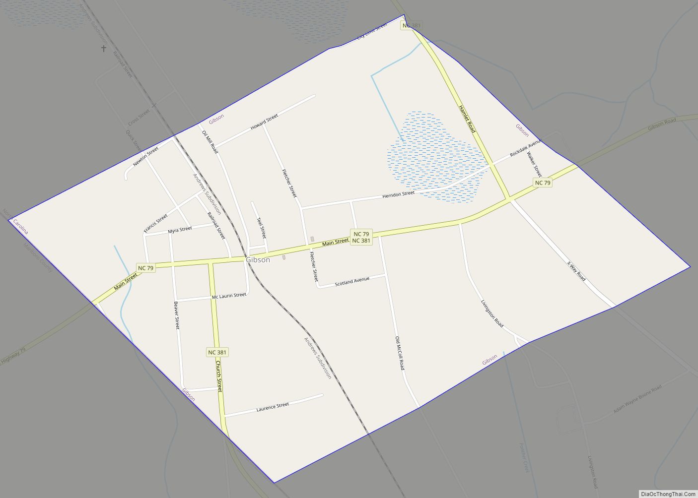
Gibson is a town in Scotland County, North Carolina, United States. The population was 540 at the 2010 census.
| Name: | Gibson town |
|---|---|
| LSAD Code: | 43 |
| LSAD Description: | town (suffix) |
| State: | North Carolina |
| County: | Scotland County |
| Elevation: | 249 ft (76 m) |
| Total Area: | 0.98 sq mi (2.53 km²) |
| Land Area: | 0.98 sq mi (2.53 km²) |
| Water Area: | 0.00 sq mi (0.00 km²) |
| Total Population: | 449 |
| Population Density: | 460.04/sq mi (177.67/km²) |
| ZIP code: | 28343 |
| FIPS code: | 3725940 |
| GNISfeature ID: | 1020425 |
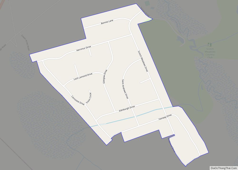
Online Interactive Map
Click on ![]() to view map in "full screen" mode.
to view map in "full screen" mode.
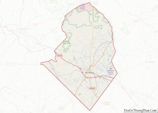
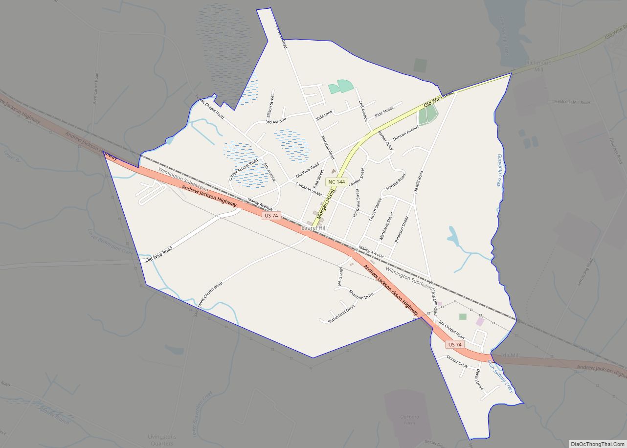
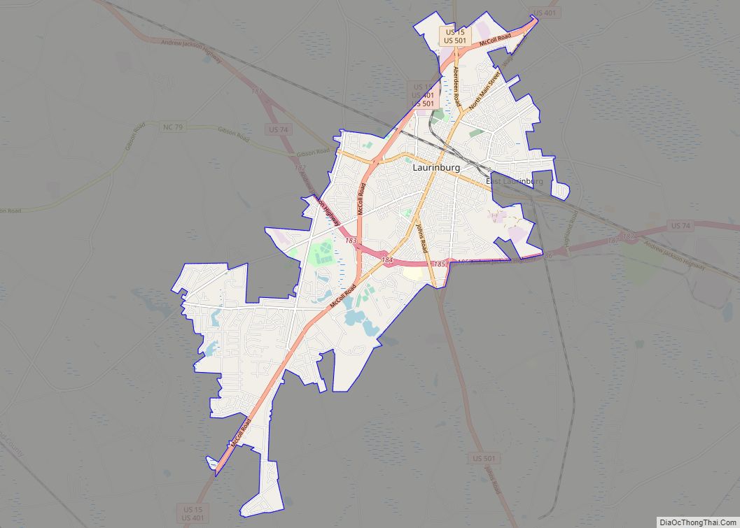
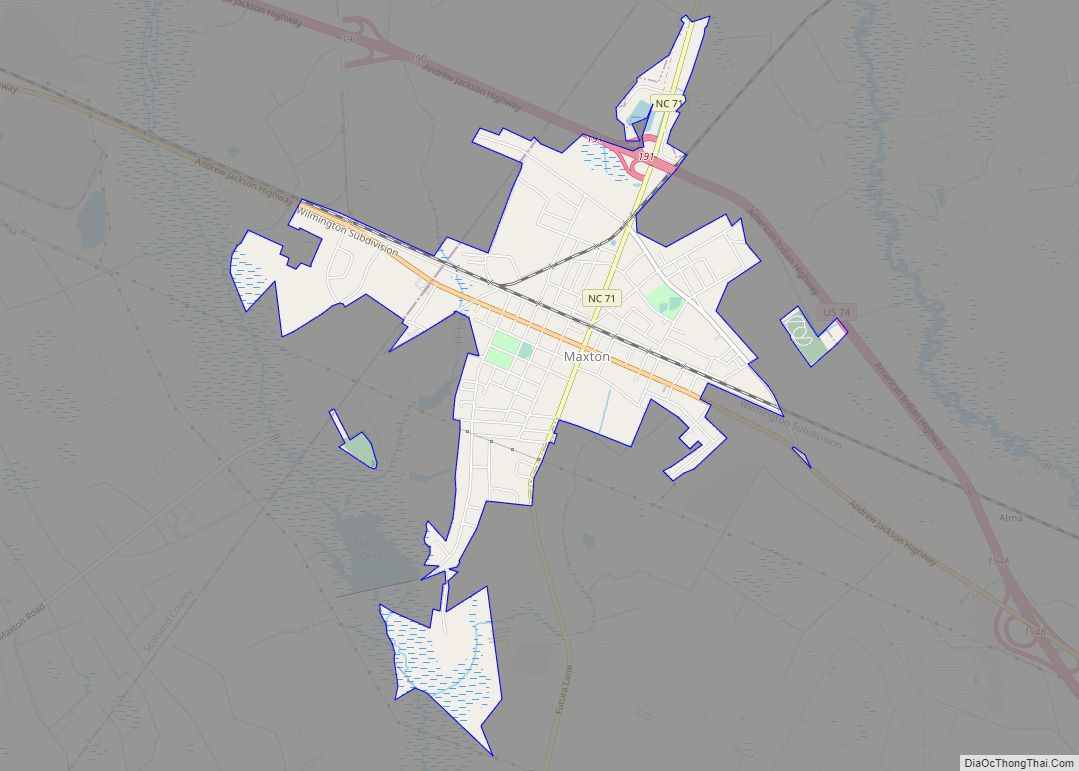
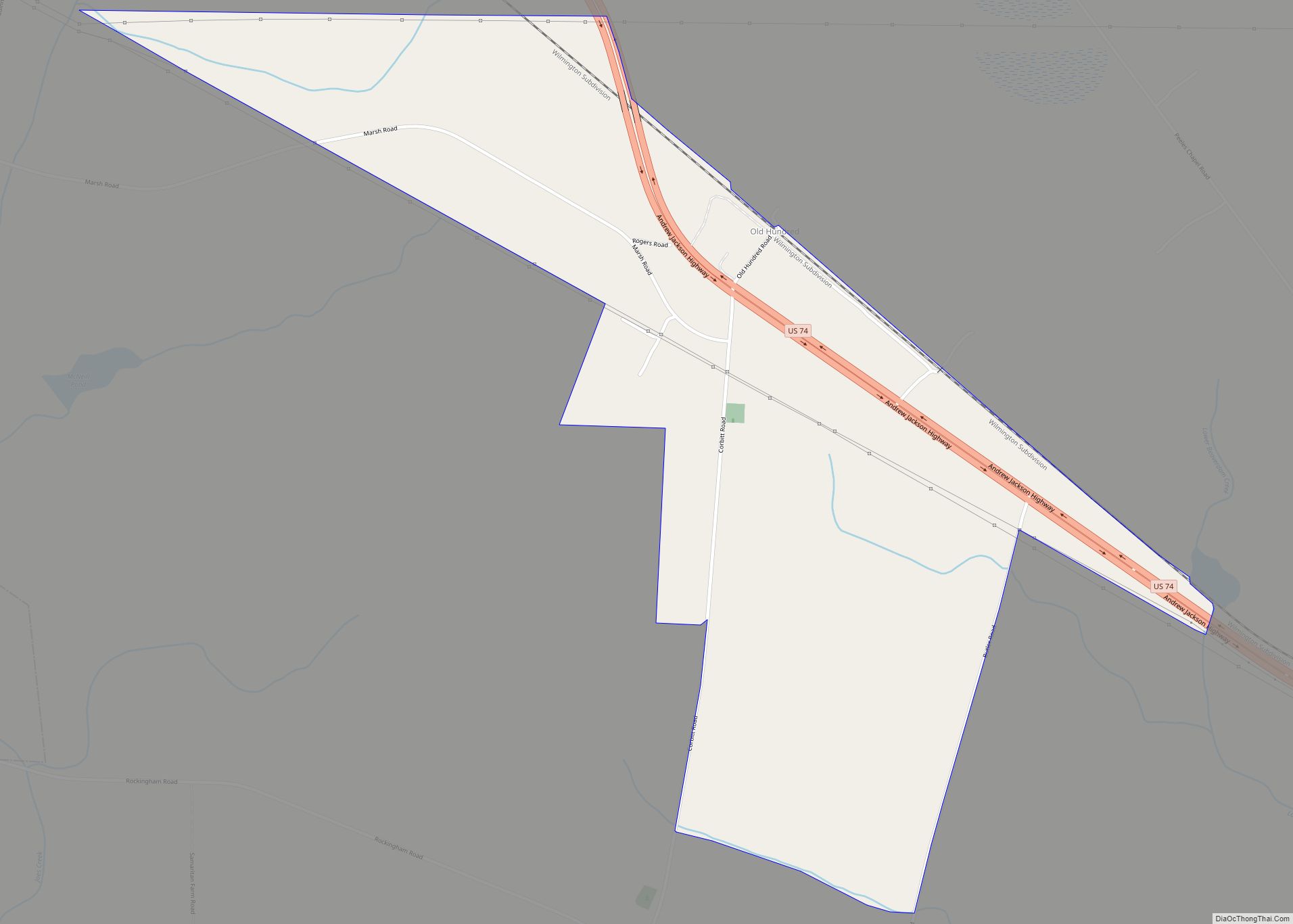
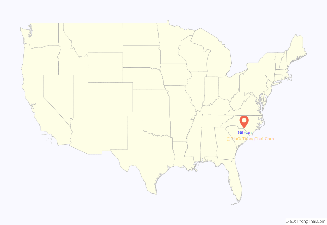
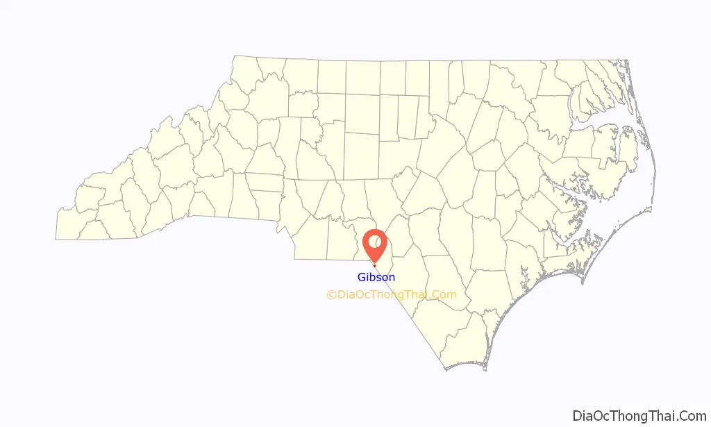
Gibson location map. Where is Gibson town?
History
Gibson was originally located in Richmond County, North Carolina. A post office was built in the area in 1846, and the town was named for its first postmaster, Noah Gibson. In 1883 the Raleigh and Augusta Air Line Railroad made plans to build a spur line to Gibson to bring goods to the locale and ship cotton out from local residents to markets. In anticipation of the railroad connection, Gibson residents erected a depot, hotel, academy, and several additional stores. The spur was built in 1884 and opened on July 1 with daily rail service to Hamlet. In 1891 the Charleston, Sumter and Northern Railroad line from Bennettsville, South Carolina was linked to the Air Line at the Gibson depot. Scotland County was created in 1899 and Gibson became a part of the new jurisdiction. The town was incorporated that year. In 1904 a bank was established. A civic ruritan club was founded in 1946. The rail depot was later restored and turned into a community center.
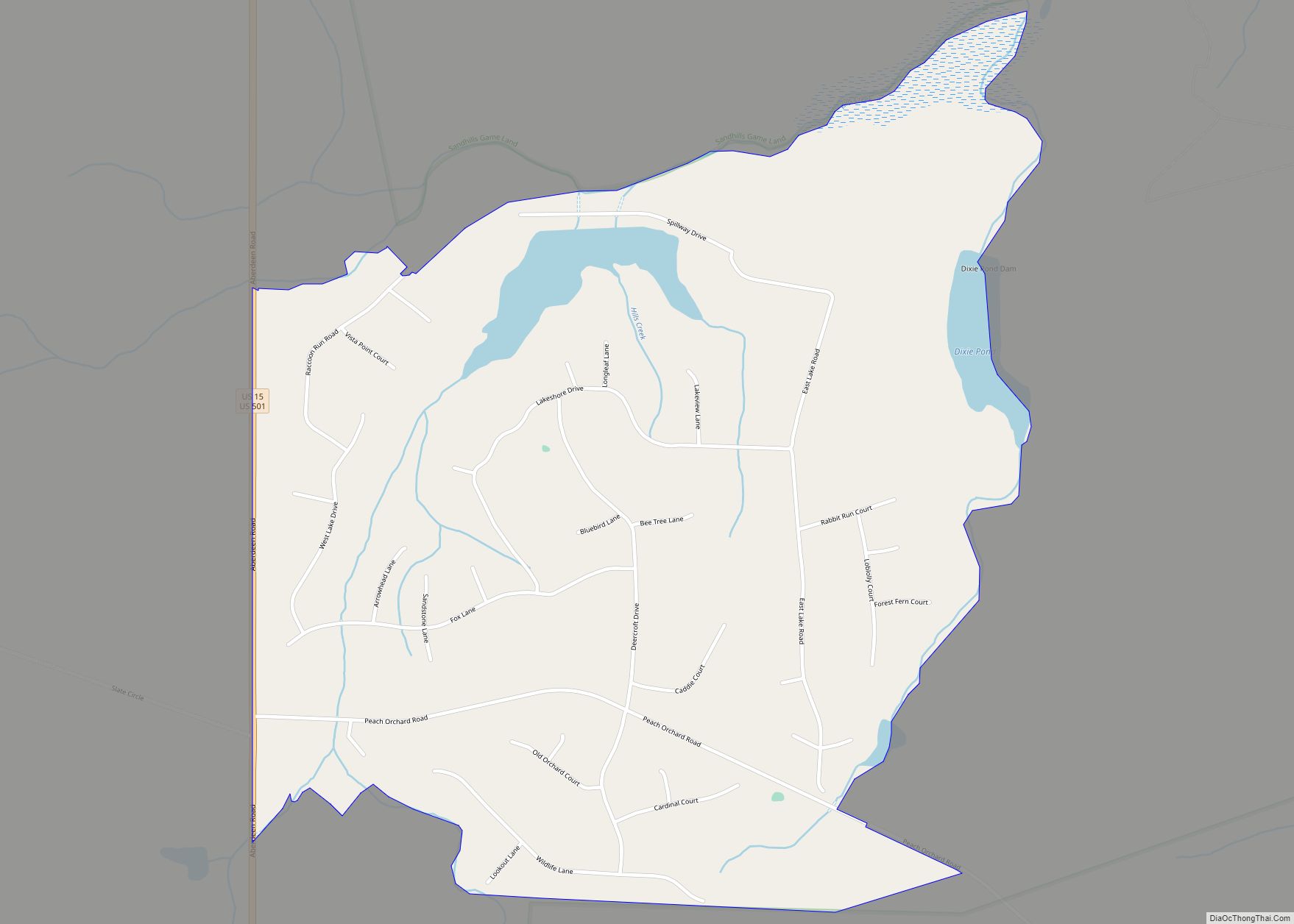
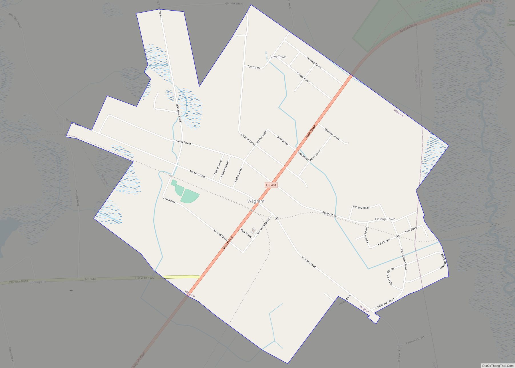
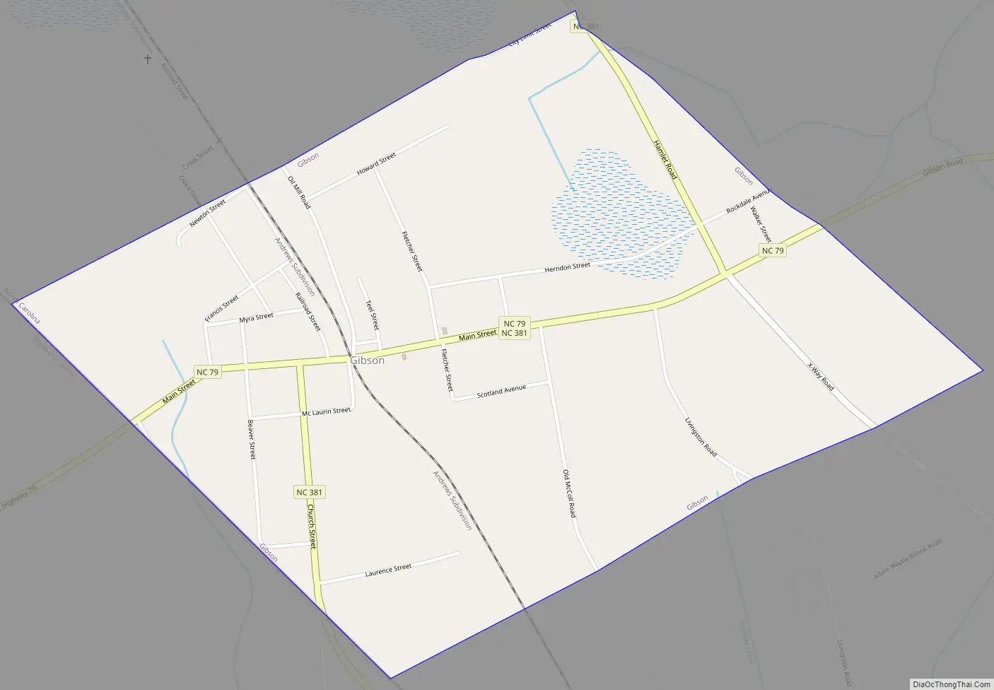
Gibson Road Map
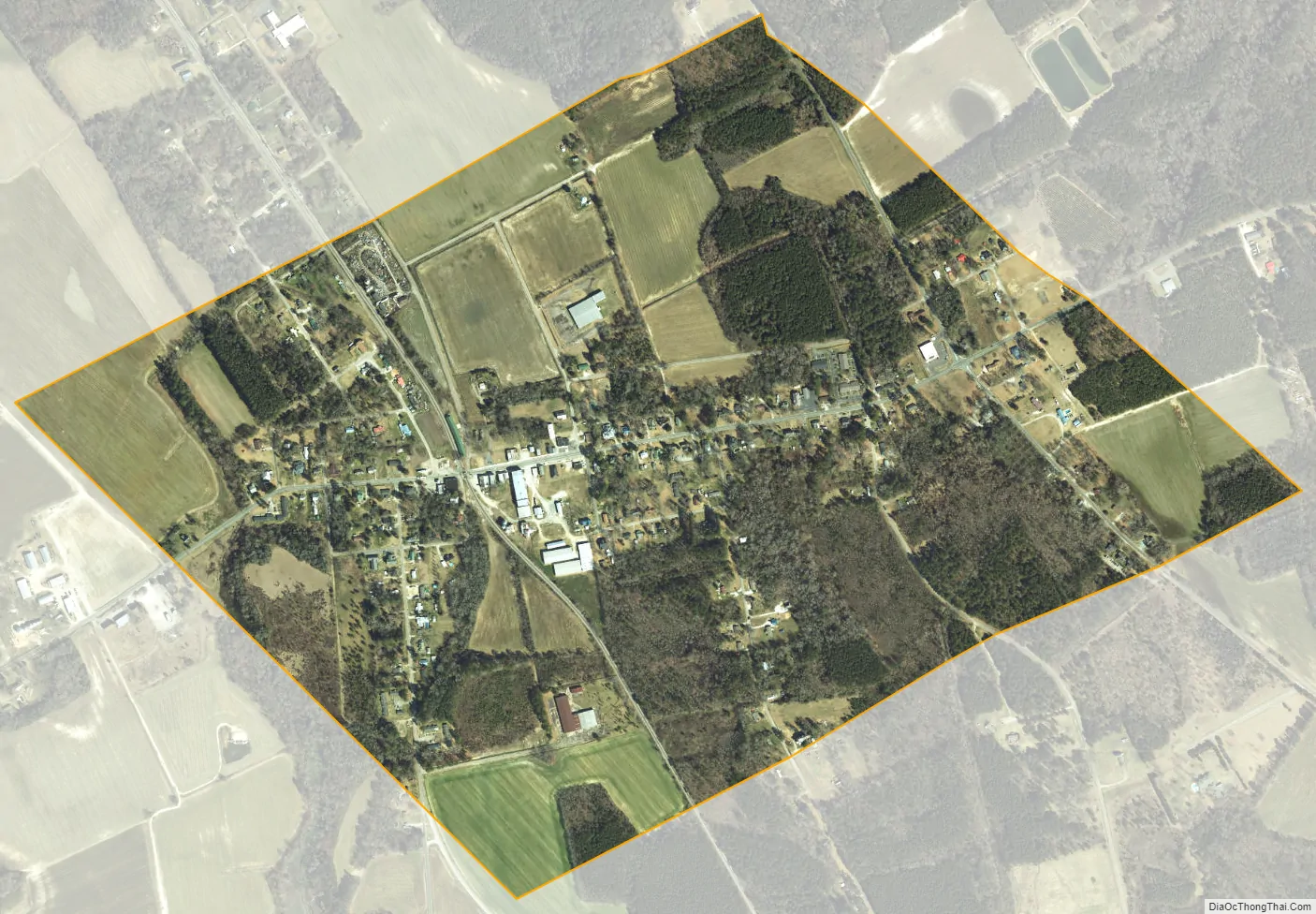
Gibson city Satellite Map
Geography
Gibson is located at 34°45′37″N 79°36′26″W / 34.76028°N 79.60722°W / 34.76028; -79.60722 (34.760311, -79.607352).
According to the United States Census Bureau, the town has a total area of 1.0 square mile (2.6 km), all of it land.
See also
Map of North Carolina State and its subdivision:- Alamance
- Alexander
- Alleghany
- Anson
- Ashe
- Avery
- Beaufort
- Bertie
- Bladen
- Brunswick
- Buncombe
- Burke
- Cabarrus
- Caldwell
- Camden
- Carteret
- Caswell
- Catawba
- Chatham
- Cherokee
- Chowan
- Clay
- Cleveland
- Columbus
- Craven
- Cumberland
- Currituck
- Dare
- Davidson
- Davie
- Duplin
- Durham
- Edgecombe
- Forsyth
- Franklin
- Gaston
- Gates
- Graham
- Granville
- Greene
- Guilford
- Halifax
- Harnett
- Haywood
- Henderson
- Hertford
- Hoke
- Hyde
- Iredell
- Jackson
- Johnston
- Jones
- Lee
- Lenoir
- Lincoln
- Macon
- Madison
- Martin
- McDowell
- Mecklenburg
- Mitchell
- Montgomery
- Moore
- Nash
- New Hanover
- Northampton
- Onslow
- Orange
- Pamlico
- Pasquotank
- Pender
- Perquimans
- Person
- Pitt
- Polk
- Randolph
- Richmond
- Robeson
- Rockingham
- Rowan
- Rutherford
- Sampson
- Scotland
- Stanly
- Stokes
- Surry
- Swain
- Transylvania
- Tyrrell
- Union
- Vance
- Wake
- Warren
- Washington
- Watauga
- Wayne
- Wilkes
- Wilson
- Yadkin
- Yancey
- Alabama
- Alaska
- Arizona
- Arkansas
- California
- Colorado
- Connecticut
- Delaware
- District of Columbia
- Florida
- Georgia
- Hawaii
- Idaho
- Illinois
- Indiana
- Iowa
- Kansas
- Kentucky
- Louisiana
- Maine
- Maryland
- Massachusetts
- Michigan
- Minnesota
- Mississippi
- Missouri
- Montana
- Nebraska
- Nevada
- New Hampshire
- New Jersey
- New Mexico
- New York
- North Carolina
- North Dakota
- Ohio
- Oklahoma
- Oregon
- Pennsylvania
- Rhode Island
- South Carolina
- South Dakota
- Tennessee
- Texas
- Utah
- Vermont
- Virginia
- Washington
- West Virginia
- Wisconsin
- Wyoming