Maxton is a town in Robeson and Scotland counties, North Carolina, United States. The population was 2,426 at the time of the 2010 U.S. Census.
| Name: | Maxton town |
|---|---|
| LSAD Code: | 43 |
| LSAD Description: | town (suffix) |
| State: | North Carolina |
| County: | Robeson County, Scotland County |
| Incorporated: | 1874 |
| Elevation: | 194 ft (59 m) |
| Total Area: | 2.70 sq mi (6.99 km²) |
| Land Area: | 2.70 sq mi (6.99 km²) |
| Water Area: | 0.00 sq mi (0.00 km²) |
| Total Population: | 2,110 |
| Population Density: | 782.06/sq mi (301.94/km²) |
| ZIP code: | 28364 |
| FIPS code: | 3742020 |
| GNISfeature ID: | 1021370 |
| Website: | www.ci.maxton.nc.us |
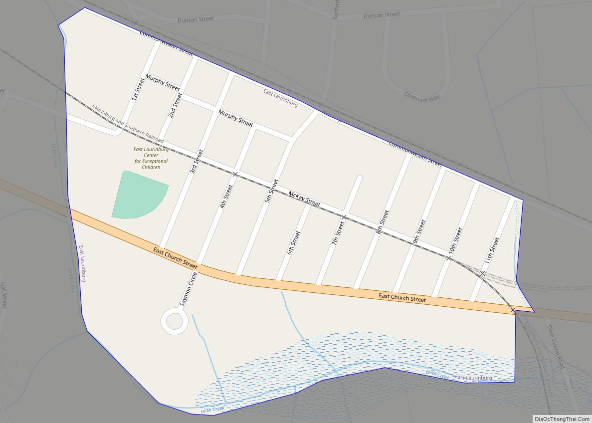
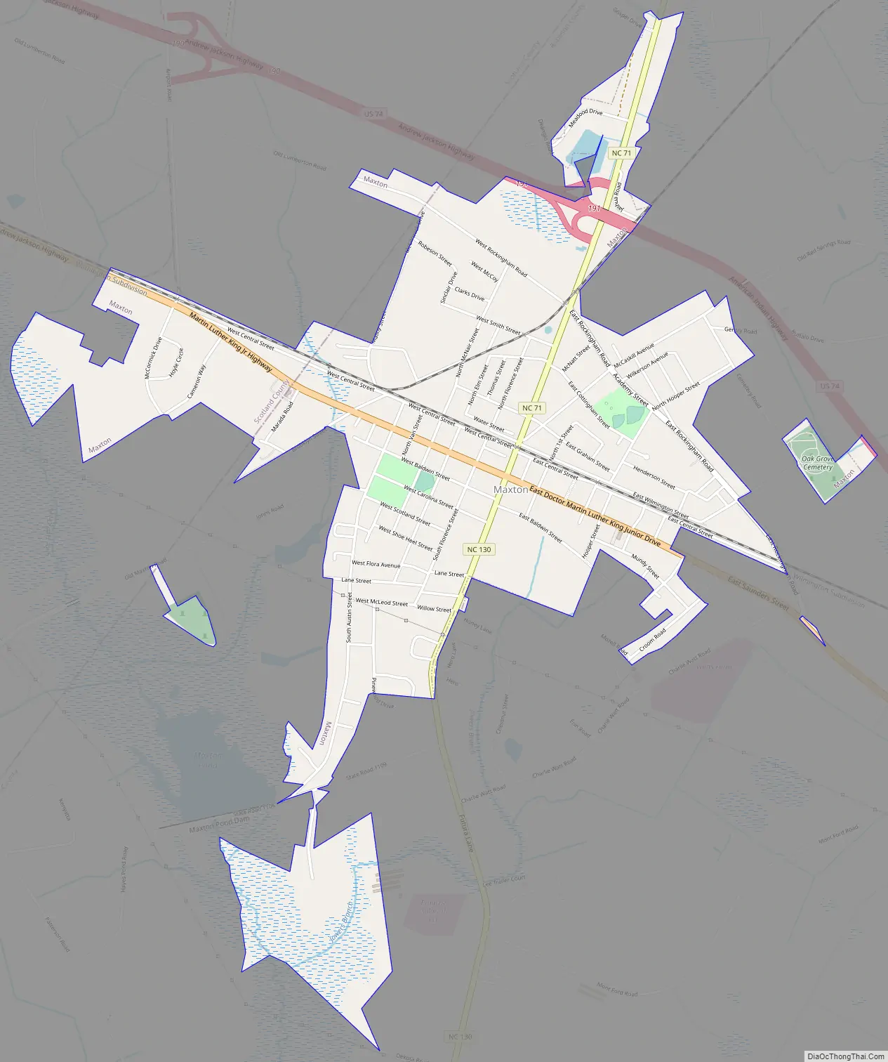
Online Interactive Map
Click on ![]() to view map in "full screen" mode.
to view map in "full screen" mode.
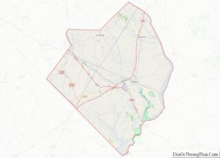
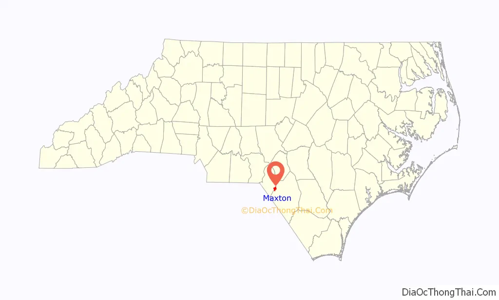
Maxton location map. Where is Maxton town?

History
The Maxton area was first settled in the 18th century. The community was incorporated in 1874 under the name of Shoe Heel. The name changed to Tilden, in honor of 1876 U.S. President candidate Samuel J. Tilden. The name reverted to Shoe Heel in 1881 before finally settling on Maxton in 1887.
As agriculture in the industry consolidated into larger corporate ventures in the 1960s, Maxton’s status as a local market town declined. Far away from major transportation links such as Interstate 95, its economy continued to wane in following decades without the arrival of new industry. White people began leaving in search of better prospects, leading Maxton to become a majority-black town by 2000. With a newly elected government comprising many black officials, the town began expanding its incorporated limits to include many old black neighborhoods. In 2004 a highway bypass around the town was completed, depriving local businesses of the spending of travelers they had hitherto enjoyed.
The Maxton Historic District was listed on the National Register of Historic Places in 1999.
Educational institutions
Maxton is the location of several former, but historically important schools.
Flora MacDonald College was founded in 1841. It was the first college in North Carolina to grant degrees to women.
Charles N. Hunter a famous African-American educator who would go on to found the North Carolina Industrial Association opened his first school in Maxton.
Carolina College was a Methodist college for women which operated in Maxton, North Carolina, from 1912 to 1926.
Carolina Military Academy (Maxton, North Carolina) was a military school for boys (7th – 12th grade + post graduate) which operated in Maxton, North Carolina, from 1963 to 1972. The school opened it doors to female day students during the 1970 – 1971 school year.
Confrontation between the Lumbee and the Ku Klux Klan
In January 1958, the Ku Klux Klan burned crosses on the lawns of two Lumbee families. A few nights later, on January 18, 1958, the Lumbee surrounded and disrupted a public Klan rally near Maxton, dispersing the Klansmen, some of whom left under police protection while others escaped into the woods. The confrontation made national headlines, and the Klan never again held a public rally in Robeson County, even as they gained influence over the next decade in North Carolina. The Lumbee refer to the event as the Battle of Hayes Pond, and celebrate it as a holiday.
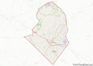
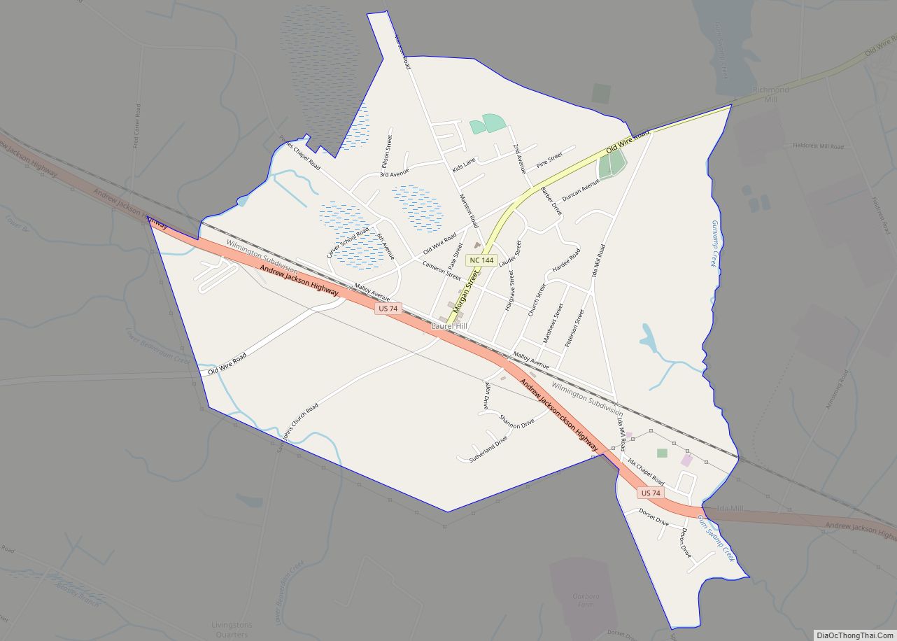
Maxton Road Map
Maxton city Satellite Map

Geography
Maxton is located at 34°44′17″N 79°21′4″W / 34.73806°N 79.35111°W / 34.73806; -79.35111 (34.738147, -79.351068).
According to the United States Census Bureau, the town has a total area of 2.2 square miles (5.8 km), all land.
See also
Map of North Carolina State and its subdivision:- Alamance
- Alexander
- Alleghany
- Anson
- Ashe
- Avery
- Beaufort
- Bertie
- Bladen
- Brunswick
- Buncombe
- Burke
- Cabarrus
- Caldwell
- Camden
- Carteret
- Caswell
- Catawba
- Chatham
- Cherokee
- Chowan
- Clay
- Cleveland
- Columbus
- Craven
- Cumberland
- Currituck
- Dare
- Davidson
- Davie
- Duplin
- Durham
- Edgecombe
- Forsyth
- Franklin
- Gaston
- Gates
- Graham
- Granville
- Greene
- Guilford
- Halifax
- Harnett
- Haywood
- Henderson
- Hertford
- Hoke
- Hyde
- Iredell
- Jackson
- Johnston
- Jones
- Lee
- Lenoir
- Lincoln
- Macon
- Madison
- Martin
- McDowell
- Mecklenburg
- Mitchell
- Montgomery
- Moore
- Nash
- New Hanover
- Northampton
- Onslow
- Orange
- Pamlico
- Pasquotank
- Pender
- Perquimans
- Person
- Pitt
- Polk
- Randolph
- Richmond
- Robeson
- Rockingham
- Rowan
- Rutherford
- Sampson
- Scotland
- Stanly
- Stokes
- Surry
- Swain
- Transylvania
- Tyrrell
- Union
- Vance
- Wake
- Warren
- Washington
- Watauga
- Wayne
- Wilkes
- Wilson
- Yadkin
- Yancey
- Alabama
- Alaska
- Arizona
- Arkansas
- California
- Colorado
- Connecticut
- Delaware
- District of Columbia
- Florida
- Georgia
- Hawaii
- Idaho
- Illinois
- Indiana
- Iowa
- Kansas
- Kentucky
- Louisiana
- Maine
- Maryland
- Massachusetts
- Michigan
- Minnesota
- Mississippi
- Missouri
- Montana
- Nebraska
- Nevada
- New Hampshire
- New Jersey
- New Mexico
- New York
- North Carolina
- North Dakota
- Ohio
- Oklahoma
- Oregon
- Pennsylvania
- Rhode Island
- South Carolina
- South Dakota
- Tennessee
- Texas
- Utah
- Vermont
- Virginia
- Washington
- West Virginia
- Wisconsin
- Wyoming