Halifax is a town in Halifax County, North Carolina, United States. The population was 234 at the 2010 census. It is the county seat of Halifax County. It is known as “The Birthplace of Freedom” for being the location for the April 12, 1776, adoption of the Halifax Resolves, which was the first official action by a colony calling for independence. Halifax is also home to the Halifax Historic District, a historic site operated by the North Carolina Department of Cultural Resources. Halifax is part of the Roanoke Rapids, North Carolina Micropolitan Statistical Area.
| Name: | Halifax town |
|---|---|
| LSAD Code: | 43 |
| LSAD Description: | town (suffix) |
| State: | North Carolina |
| County: | Halifax County |
| Elevation: | 125 ft (38 m) |
| Total Area: | 0.46 sq mi (1.18 km²) |
| Land Area: | 0.46 sq mi (1.18 km²) |
| Water Area: | 0.00 sq mi (0.00 km²) |
| Total Population: | 170 |
| Population Density: | 371.99/sq mi (143.55/km²) |
| ZIP code: | 27839 |
| Area code: | 252 |
| FIPS code: | 3728920 |
| GNISfeature ID: | 0986304 |
| Website: | www.historichalifaxnc.com |
Online Interactive Map
Click on ![]() to view map in "full screen" mode.
to view map in "full screen" mode.
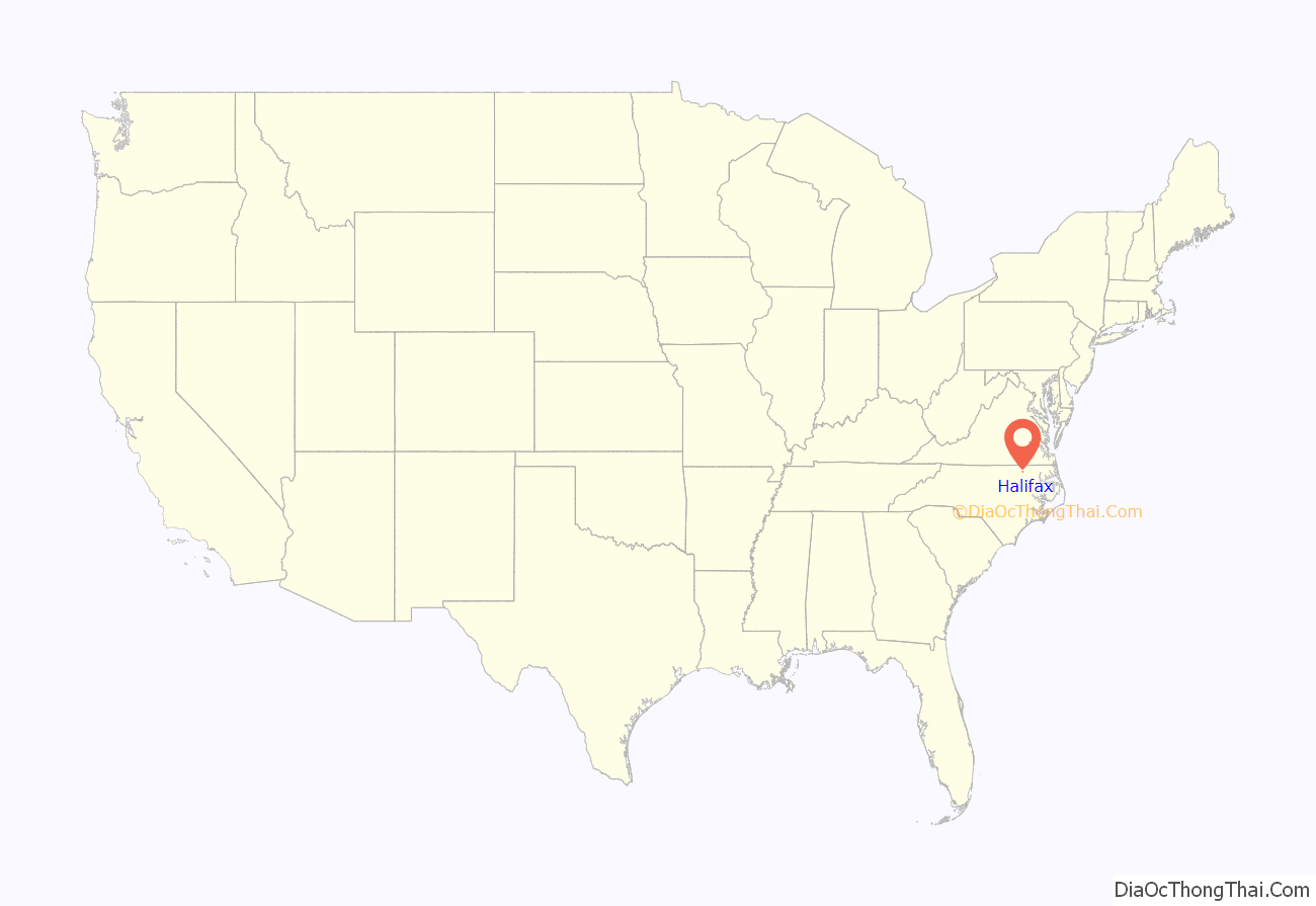
Halifax location map. Where is Halifax town?
History
Halifax was established in 1757. It was named for George Montagu-Dunk, 2nd Earl of Halifax, President of the Board of Trade from 1748 to 1761. In January 1759 it became the county seat of the new Halifax County. The town developed into a commercial and political center at the time of the American Revolution. North Carolina’s Fourth Provincial Congress met in Halifax in the spring of 1776, and on April 12 adopted the Halifax Resolves.
The Church of the Immaculate Conception and the Michael Ferrall Family Cemetery, William R. Davie House, Eagle Tavern, Halifax County Courthouse, Halifax County Home and Tubercular Hospital, Halifax Historic District, Sally-Billy House, and St. Mark’s Episcopal Church are listed on the National Register of Historic Places.
On March 9, 2015, an Amtrak passenger train collided with a tractor trailer in Halifax, with part of the train derailing. 55 passengers were injured.
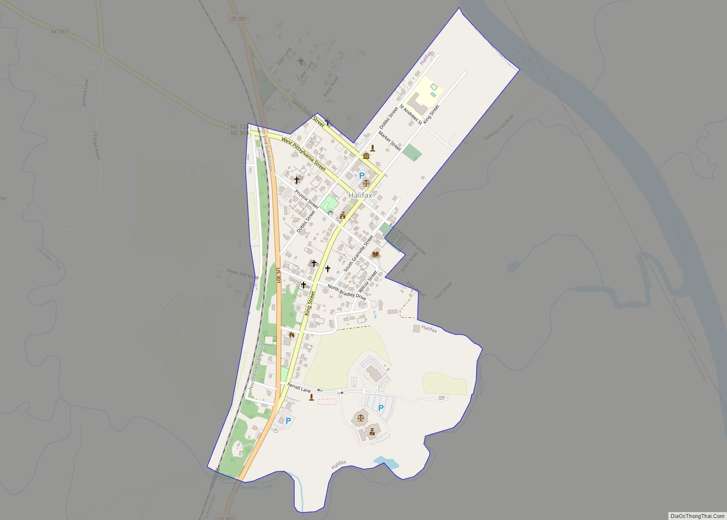
Halifax Road Map
Halifax city Satellite Map
Geography
Halifax is located at 36°19′42″N 77°35′27″W / 36.32833°N 77.59083°W / 36.32833; -77.59083 (36.328397, −77.590732).
According to the United States Census Bureau, the town has a total area of 0.4 square miles (1.0 km), all land. Halifax is located on the Roanoke River, near the Fall Line between the Piedmont and Coastal Plain regions of North Carolina. This location near the head of navigation for the Roanoke, was important in the town’s early development.
Today the river is a major recreational asset, with exceptional fishing opportunities, especially with the annual Spring Rockfish (striped bass) and shad runs. Fishermen from all over the country come to the Roanoke for these annual fishing opportunities. Additionally, the Roanoke also provides recreational opportunities in the form of three large impoundments—Kerr, Gaston, and Roanoke Rapids Reservoirs—located just upstream of Halifax. Other recreational and historical attractions in the area include Halifax State Historic Site, Medoc Mountain State Park, and Sylvan Heights Waterfowl Park. The outdoor drama First For Freedom is performed annually in the summer.
Halifax enjoys a four-season climate, with moderately hot and humid summers, and cool winters. The area averages 6 to 8 inches (150 to 200 mm) of snow annually, and historically has been subject to ice storms. The area also is occasionally affected by the remnants of landfalling hurricanes and tropical storms. Overall, however, the area has a temperate climate, usually without major extremes.
See also
Map of North Carolina State and its subdivision:- Alamance
- Alexander
- Alleghany
- Anson
- Ashe
- Avery
- Beaufort
- Bertie
- Bladen
- Brunswick
- Buncombe
- Burke
- Cabarrus
- Caldwell
- Camden
- Carteret
- Caswell
- Catawba
- Chatham
- Cherokee
- Chowan
- Clay
- Cleveland
- Columbus
- Craven
- Cumberland
- Currituck
- Dare
- Davidson
- Davie
- Duplin
- Durham
- Edgecombe
- Forsyth
- Franklin
- Gaston
- Gates
- Graham
- Granville
- Greene
- Guilford
- Halifax
- Harnett
- Haywood
- Henderson
- Hertford
- Hoke
- Hyde
- Iredell
- Jackson
- Johnston
- Jones
- Lee
- Lenoir
- Lincoln
- Macon
- Madison
- Martin
- McDowell
- Mecklenburg
- Mitchell
- Montgomery
- Moore
- Nash
- New Hanover
- Northampton
- Onslow
- Orange
- Pamlico
- Pasquotank
- Pender
- Perquimans
- Person
- Pitt
- Polk
- Randolph
- Richmond
- Robeson
- Rockingham
- Rowan
- Rutherford
- Sampson
- Scotland
- Stanly
- Stokes
- Surry
- Swain
- Transylvania
- Tyrrell
- Union
- Vance
- Wake
- Warren
- Washington
- Watauga
- Wayne
- Wilkes
- Wilson
- Yadkin
- Yancey
- Alabama
- Alaska
- Arizona
- Arkansas
- California
- Colorado
- Connecticut
- Delaware
- District of Columbia
- Florida
- Georgia
- Hawaii
- Idaho
- Illinois
- Indiana
- Iowa
- Kansas
- Kentucky
- Louisiana
- Maine
- Maryland
- Massachusetts
- Michigan
- Minnesota
- Mississippi
- Missouri
- Montana
- Nebraska
- Nevada
- New Hampshire
- New Jersey
- New Mexico
- New York
- North Carolina
- North Dakota
- Ohio
- Oklahoma
- Oregon
- Pennsylvania
- Rhode Island
- South Carolina
- South Dakota
- Tennessee
- Texas
- Utah
- Vermont
- Virginia
- Washington
- West Virginia
- Wisconsin
- Wyoming
