Harrellsville is a town in Hertford County, North Carolina, United States. The population was 106 at the 2010 census.
| Name: | Harrellsville town |
|---|---|
| LSAD Code: | 43 |
| LSAD Description: | town (suffix) |
| State: | North Carolina |
| County: | Hertford County |
| Elevation: | 66 ft (20 m) |
| Total Area: | 0.29 sq mi (0.75 km²) |
| Land Area: | 0.29 sq mi (0.75 km²) |
| Water Area: | 0.00 sq mi (0.00 km²) |
| Total Population: | 85 |
| Population Density: | 293.10/sq mi (113.10/km²) |
| ZIP code: | 27942 |
| Area code: | 252 |
| FIPS code: | 3729720 |
| GNISfeature ID: | 0986436 |
Online Interactive Map
Click on ![]() to view map in "full screen" mode.
to view map in "full screen" mode.
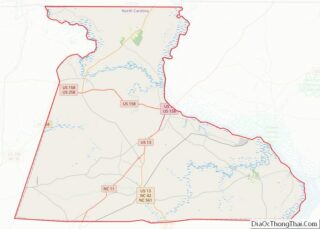
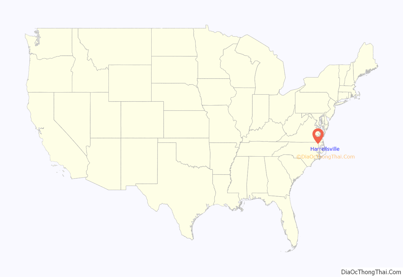
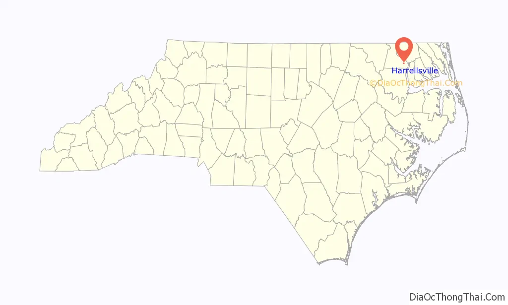
Harrellsville location map. Where is Harrellsville town?
History
The town of Harrellsville was founded in the 1820s by the Harrell families. A post office was established in 1827, and Abner Harrell became the postmaster in 1833. Originally known as Bethel, the town was changed to Harrellsville in the 1860s out of respect for Abner Harrell. Originally, Abner Harrell’s house, one of the largest buildings in the town, remained standing until circa 2000, when the land it stood on was purchased and the house torn down.
The Harrellsville Historic District was listed on the National Register of Historic Places in 1995.
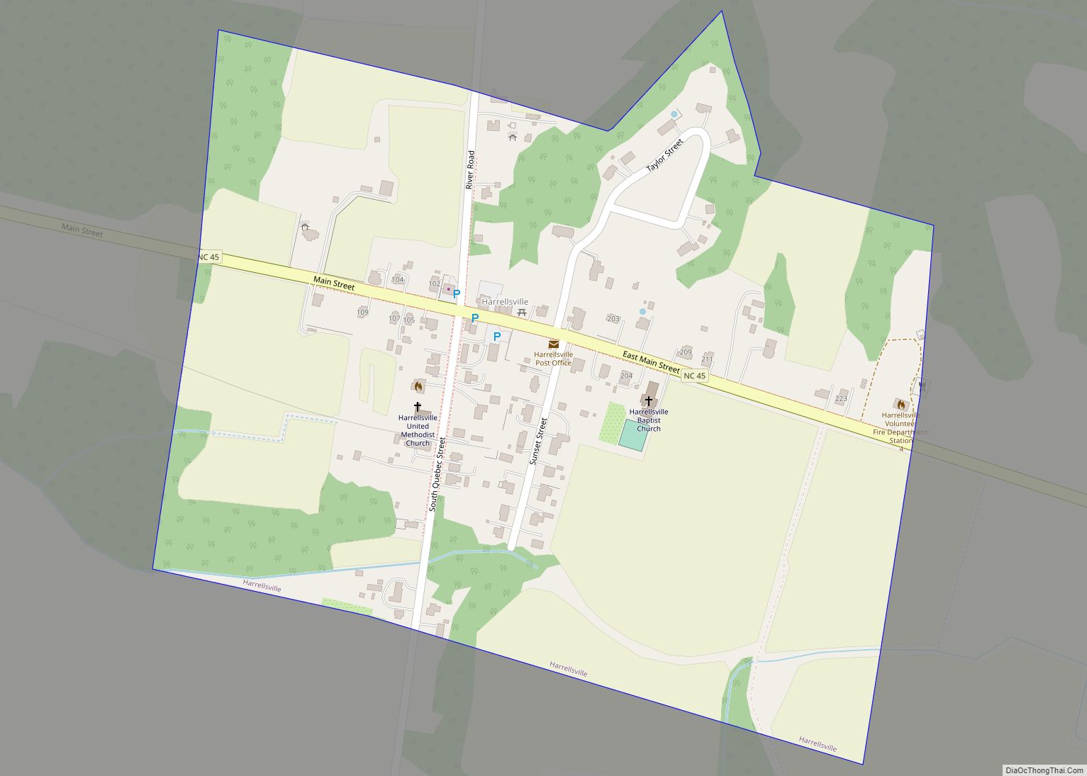
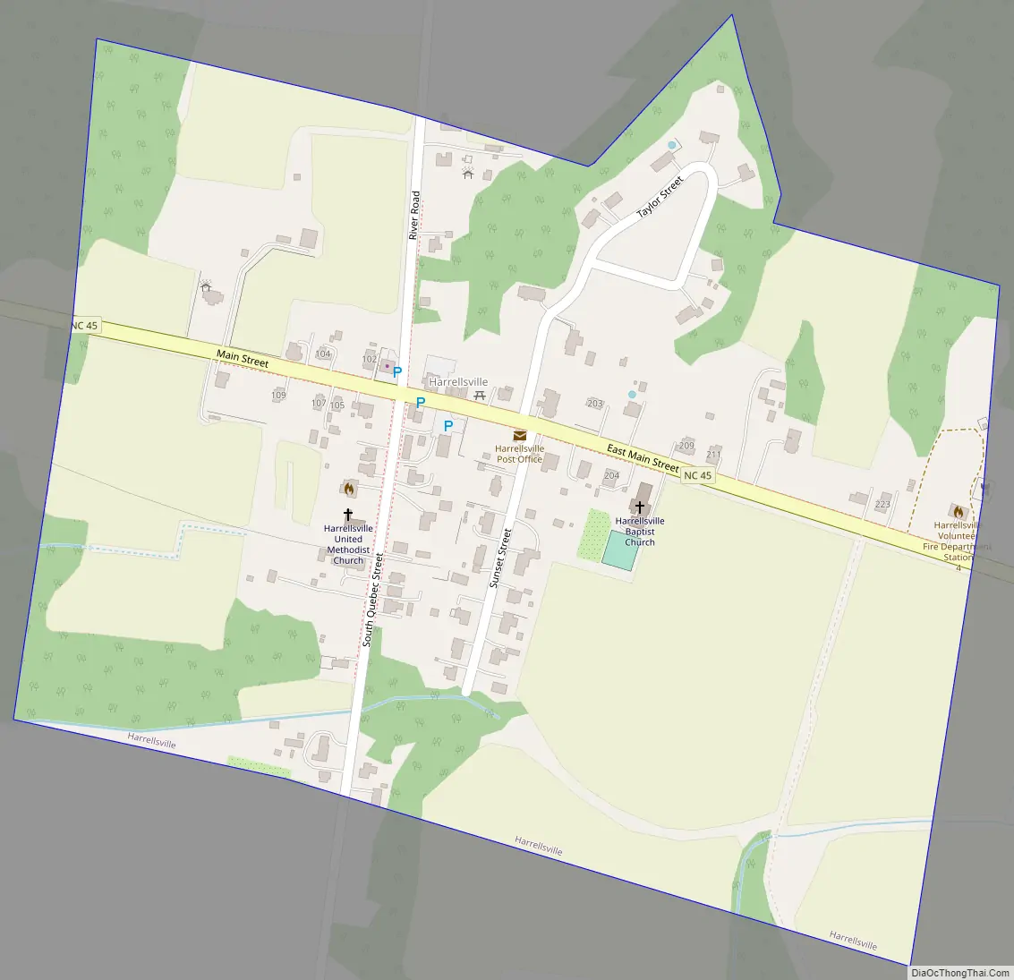
Harrellsville Road Map
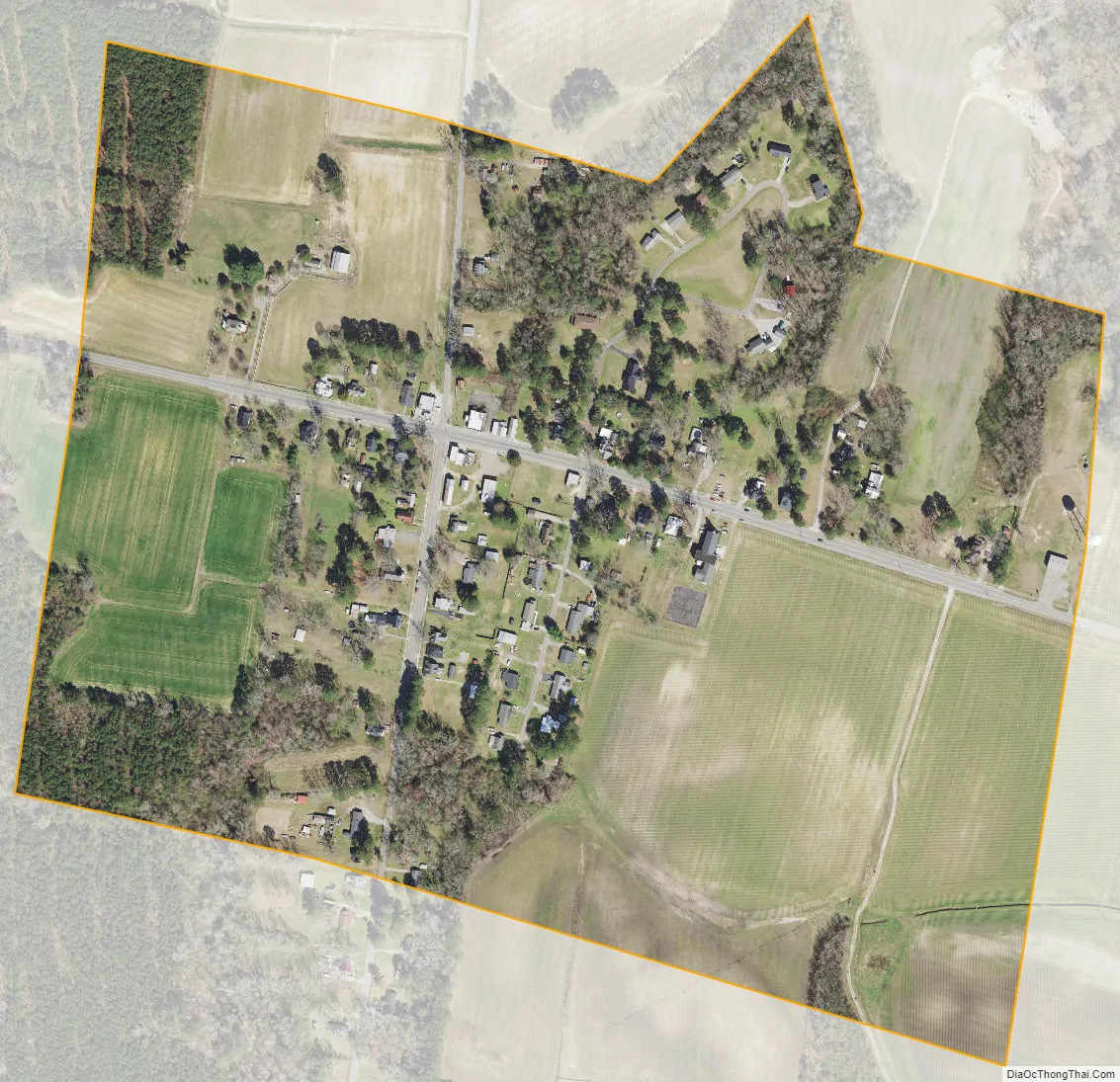
Harrellsville city Satellite Map
Geography
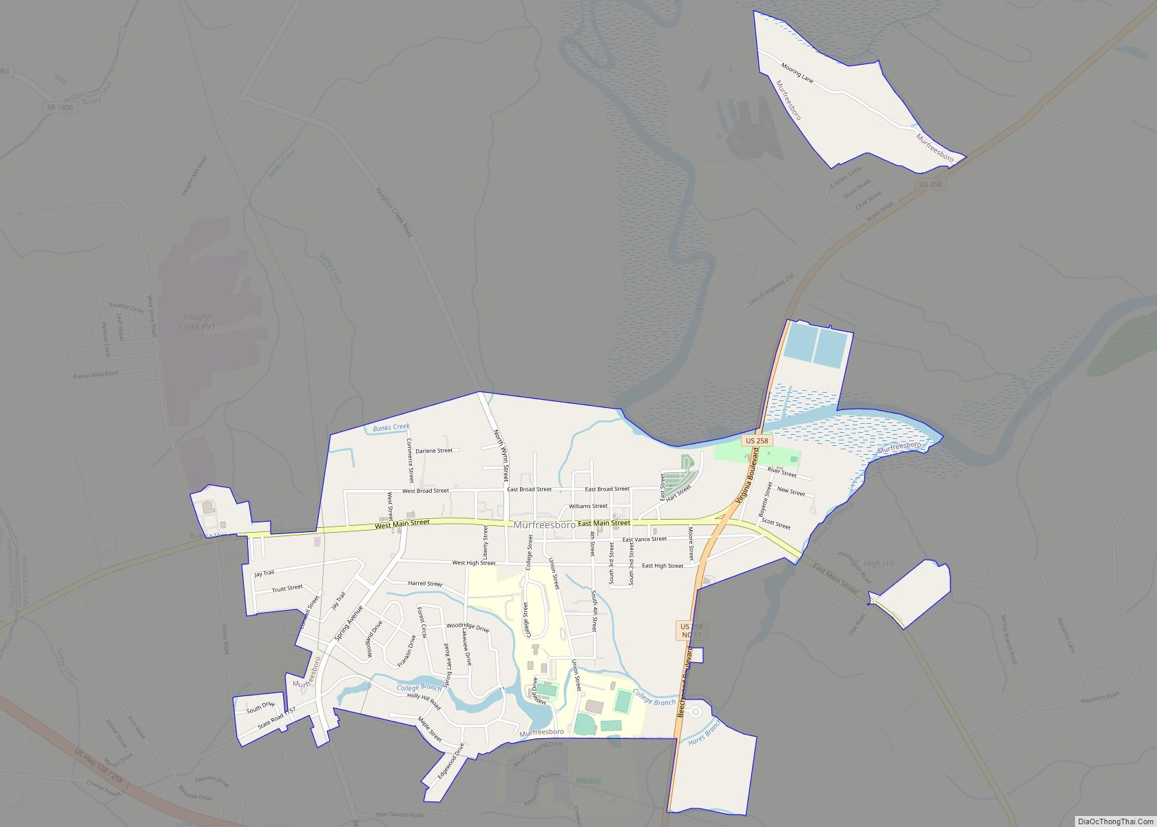
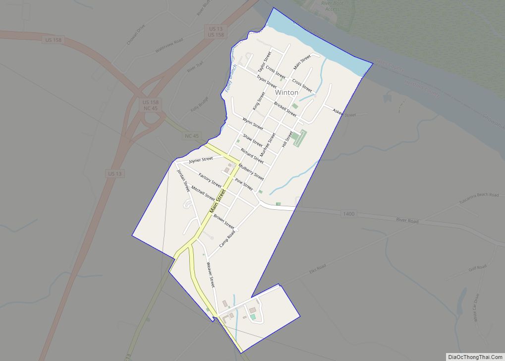
Harrellsville is located in southeastern Hertford County at 36°18′14″N 76°47′24″W / 36.30389°N 76.79000°W / 36.30389; -76.79000 (36.303895, -76.790083). North Carolina Highway 45 runs through the town, leading northwest 11 miles (18 km) to Winton, the county seat, and south 7 miles (11 km) to Colerain.
According to the United States Census Bureau, Harrellsville has a total area of 0.29 square miles (0.75 km), all land.
See also
Map of North Carolina State and its subdivision:- Alamance
- Alexander
- Alleghany
- Anson
- Ashe
- Avery
- Beaufort
- Bertie
- Bladen
- Brunswick
- Buncombe
- Burke
- Cabarrus
- Caldwell
- Camden
- Carteret
- Caswell
- Catawba
- Chatham
- Cherokee
- Chowan
- Clay
- Cleveland
- Columbus
- Craven
- Cumberland
- Currituck
- Dare
- Davidson
- Davie
- Duplin
- Durham
- Edgecombe
- Forsyth
- Franklin
- Gaston
- Gates
- Graham
- Granville
- Greene
- Guilford
- Halifax
- Harnett
- Haywood
- Henderson
- Hertford
- Hoke
- Hyde
- Iredell
- Jackson
- Johnston
- Jones
- Lee
- Lenoir
- Lincoln
- Macon
- Madison
- Martin
- McDowell
- Mecklenburg
- Mitchell
- Montgomery
- Moore
- Nash
- New Hanover
- Northampton
- Onslow
- Orange
- Pamlico
- Pasquotank
- Pender
- Perquimans
- Person
- Pitt
- Polk
- Randolph
- Richmond
- Robeson
- Rockingham
- Rowan
- Rutherford
- Sampson
- Scotland
- Stanly
- Stokes
- Surry
- Swain
- Transylvania
- Tyrrell
- Union
- Vance
- Wake
- Warren
- Washington
- Watauga
- Wayne
- Wilkes
- Wilson
- Yadkin
- Yancey
- Alabama
- Alaska
- Arizona
- Arkansas
- California
- Colorado
- Connecticut
- Delaware
- District of Columbia
- Florida
- Georgia
- Hawaii
- Idaho
- Illinois
- Indiana
- Iowa
- Kansas
- Kentucky
- Louisiana
- Maine
- Maryland
- Massachusetts
- Michigan
- Minnesota
- Mississippi
- Missouri
- Montana
- Nebraska
- Nevada
- New Hampshire
- New Jersey
- New Mexico
- New York
- North Carolina
- North Dakota
- Ohio
- Oklahoma
- Oregon
- Pennsylvania
- Rhode Island
- South Carolina
- South Dakota
- Tennessee
- Texas
- Utah
- Vermont
- Virginia
- Washington
- West Virginia
- Wisconsin
- Wyoming