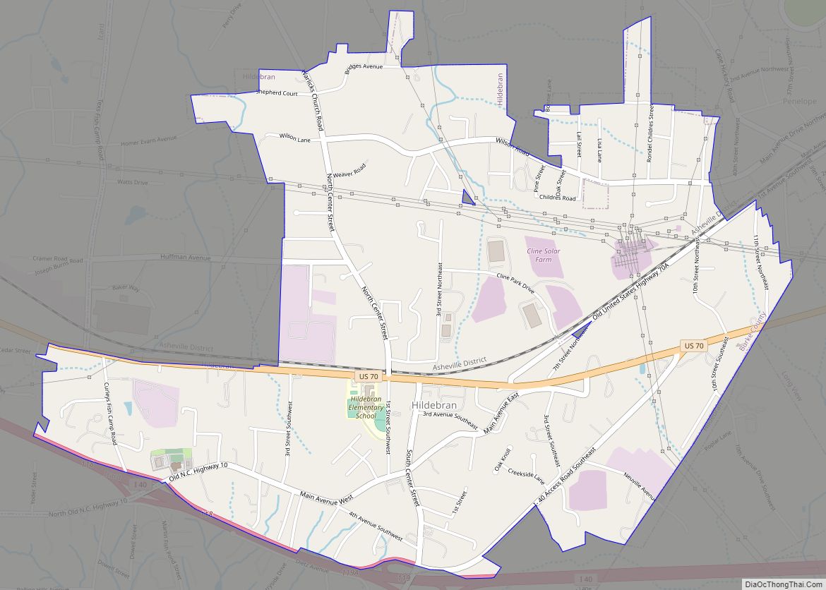
Hildebran is a town in Burke County, North Carolina, United States. The population was 2,023 at the 2010 census. It is part of the Hickory–Lenoir–Morganton Metropolitan Statistical Area.
| Name: | Hildebran town |
|---|---|
| LSAD Code: | 43 |
| LSAD Description: | town (suffix) |
| State: | North Carolina |
| County: | Burke County |
| Incorporated: | 1899 |
| Elevation: | 1,188 ft (362 m) |
| Total Area: | 2.83 sq mi (7.33 km²) |
| Land Area: | 2.83 sq mi (7.33 km²) |
| Water Area: | 0.00 sq mi (0.00 km²) |
| Total Population: | 1,679 |
| Population Density: | 593.71/sq mi (229.21/km²) |
| ZIP code: | 28637 |
| Area code: | 828 |
| FIPS code: | 3731500 |
| GNISfeature ID: | 0986786 |
| Website: | hildebrannc.com |
Online Interactive Map
Click on ![]() to view map in "full screen" mode.
to view map in "full screen" mode.
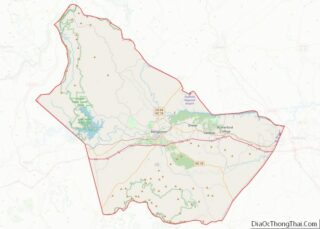
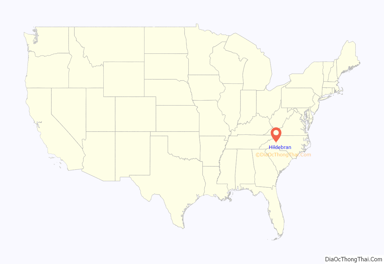
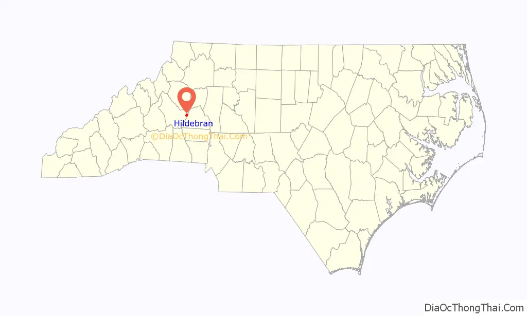
Hildebran location map. Where is Hildebran town?
History
There are two conflicting stories from where the name Hildebran came from. The one more accepted is that it was named after 19th-century land owner Solomon Hildebrand and his son Jacob; the other is that it was named after the 11th-century Pope Gregory VII (Hildebrand of Sovana). When Hildebran received its charter in 1899, the “d” was dropped from the name.
Hildebran Road Map
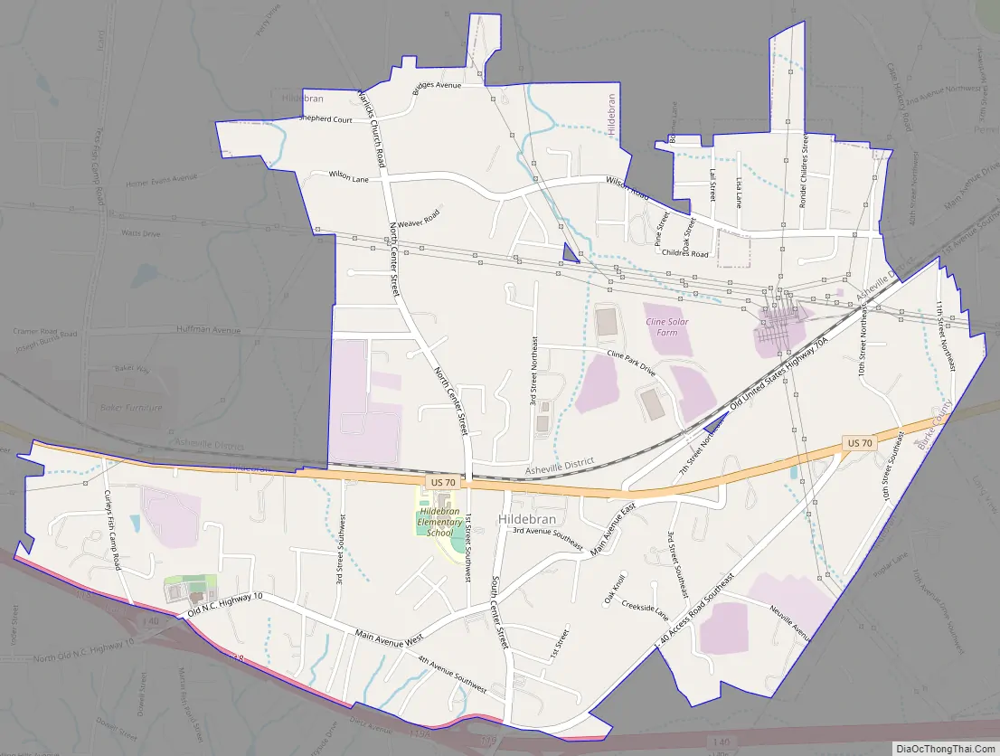
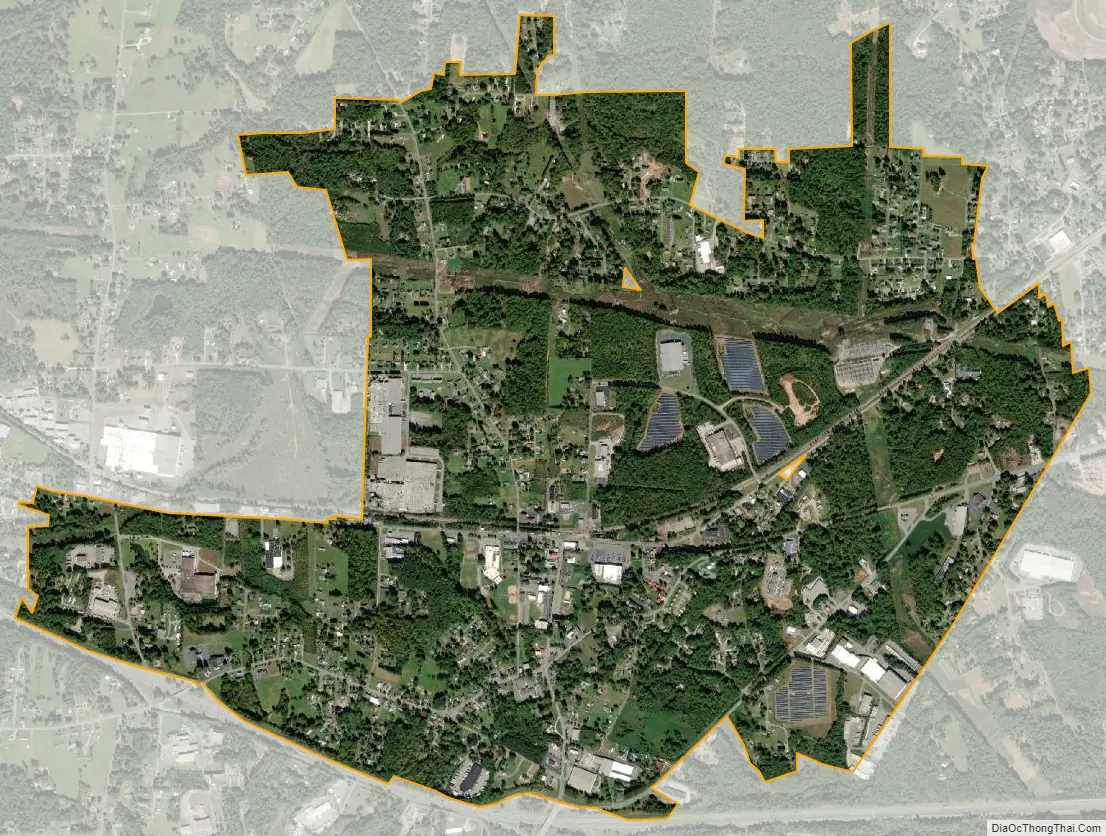
Hildebran city Satellite Map
Geography
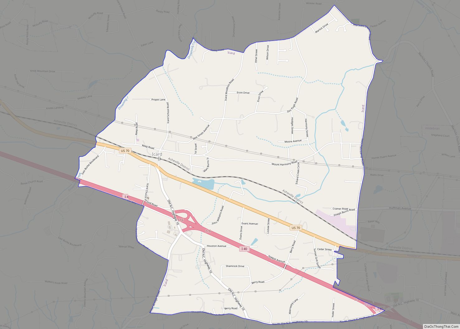
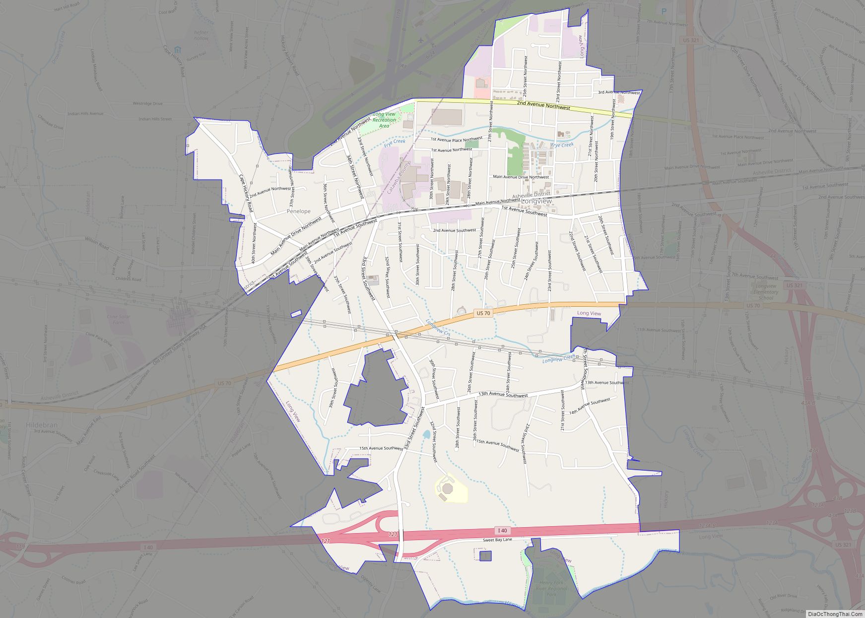
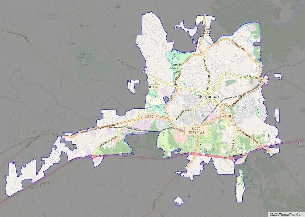
Hildebran is located in eastern Burke County at 35°43′6″N 81°25′8″W / 35.71833°N 81.41889°W / 35.71833; -81.41889 (35.718432, -81.418780). Its southeastern border is also the border with Catawba County. The town of Long View borders Hildebran to the east, and the census-designated place of Icard borders Hildebran to the west. Interstate 40 follows the town’s southern border, with access from exits 118 and 119. U.S. Route 70 passes through the center of the town, leading east 5 miles (8 km) to Hickory and west 16 miles (26 km) to Morganton.
According to the United States Census Bureau, the town has a total area of 2.9 square miles (7.4 km), all land.
See also
Map of North Carolina State and its subdivision:- Alamance
- Alexander
- Alleghany
- Anson
- Ashe
- Avery
- Beaufort
- Bertie
- Bladen
- Brunswick
- Buncombe
- Burke
- Cabarrus
- Caldwell
- Camden
- Carteret
- Caswell
- Catawba
- Chatham
- Cherokee
- Chowan
- Clay
- Cleveland
- Columbus
- Craven
- Cumberland
- Currituck
- Dare
- Davidson
- Davie
- Duplin
- Durham
- Edgecombe
- Forsyth
- Franklin
- Gaston
- Gates
- Graham
- Granville
- Greene
- Guilford
- Halifax
- Harnett
- Haywood
- Henderson
- Hertford
- Hoke
- Hyde
- Iredell
- Jackson
- Johnston
- Jones
- Lee
- Lenoir
- Lincoln
- Macon
- Madison
- Martin
- McDowell
- Mecklenburg
- Mitchell
- Montgomery
- Moore
- Nash
- New Hanover
- Northampton
- Onslow
- Orange
- Pamlico
- Pasquotank
- Pender
- Perquimans
- Person
- Pitt
- Polk
- Randolph
- Richmond
- Robeson
- Rockingham
- Rowan
- Rutherford
- Sampson
- Scotland
- Stanly
- Stokes
- Surry
- Swain
- Transylvania
- Tyrrell
- Union
- Vance
- Wake
- Warren
- Washington
- Watauga
- Wayne
- Wilkes
- Wilson
- Yadkin
- Yancey
- Alabama
- Alaska
- Arizona
- Arkansas
- California
- Colorado
- Connecticut
- Delaware
- District of Columbia
- Florida
- Georgia
- Hawaii
- Idaho
- Illinois
- Indiana
- Iowa
- Kansas
- Kentucky
- Louisiana
- Maine
- Maryland
- Massachusetts
- Michigan
- Minnesota
- Mississippi
- Missouri
- Montana
- Nebraska
- Nevada
- New Hampshire
- New Jersey
- New Mexico
- New York
- North Carolina
- North Dakota
- Ohio
- Oklahoma
- Oregon
- Pennsylvania
- Rhode Island
- South Carolina
- South Dakota
- Tennessee
- Texas
- Utah
- Vermont
- Virginia
- Washington
- West Virginia
- Wisconsin
- Wyoming