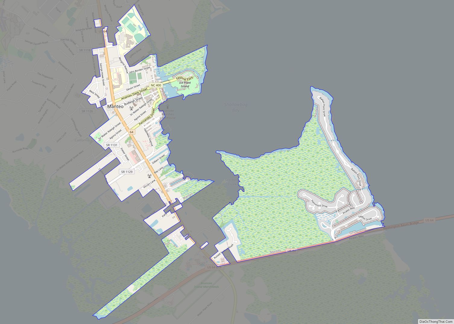
Manteo (/ˈmæn(t)i.oʊ/) is a town in Dare County, North Carolina, United States, located on Roanoke Island. The population was 1,602 at the 2020 census. It is the county seat of Dare County.
| Name: | Manteo town |
|---|---|
| LSAD Code: | 43 |
| LSAD Description: | town (suffix) |
| State: | North Carolina |
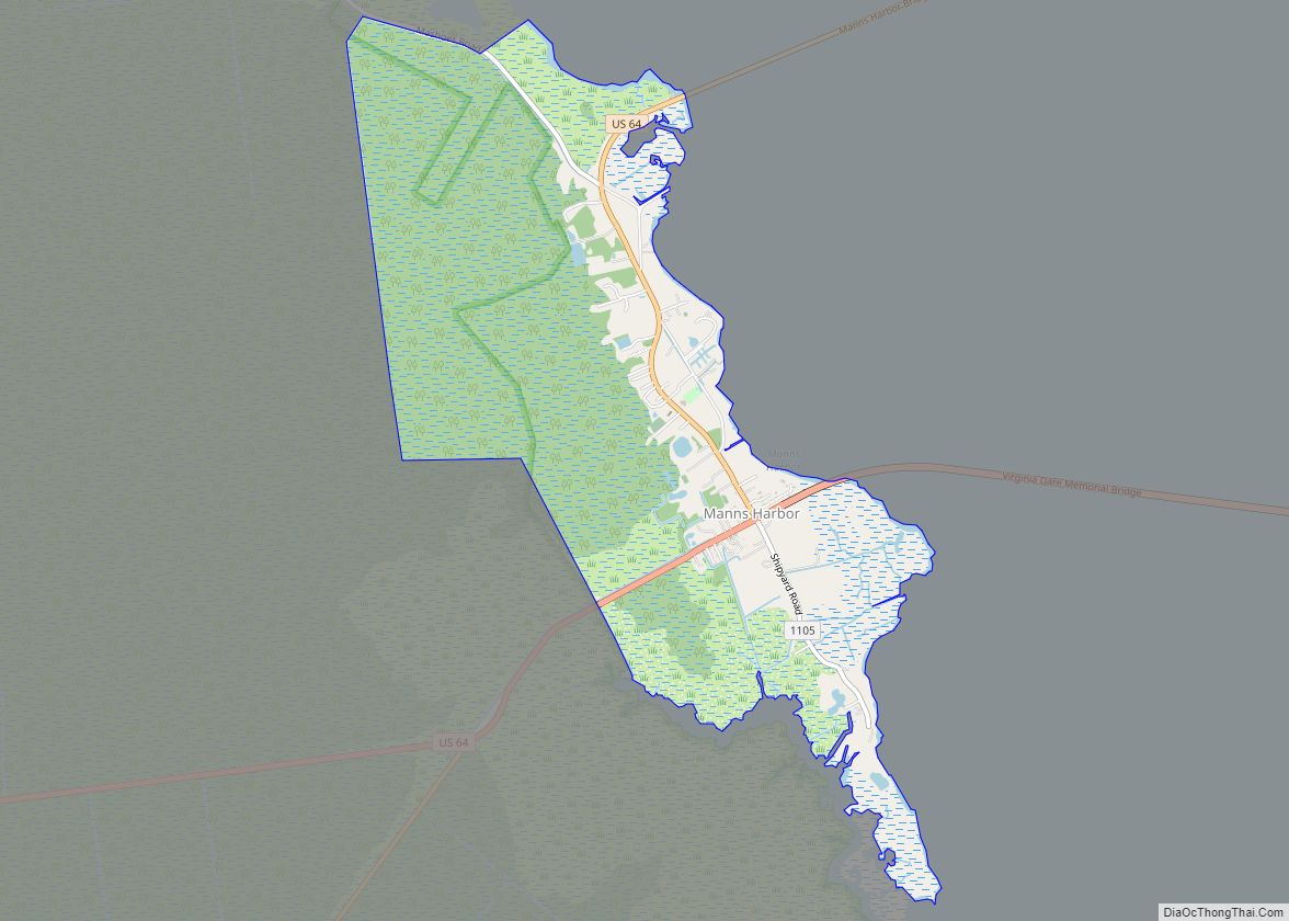
| County: | Dare County |
| Founded: | 1865 |
| Incorporated: | 1899 |
| Elevation: | 7 ft (2 m) |
| Total Area: | 1.94 sq mi (5.02 km²) |
| Land Area: | 1.88 sq mi (4.86 km²) |
| Water Area: | 0.06 sq mi (0.15 km²) |
| Total Population: | 1,600 |
| Population Density: | 852.42/sq mi (329.15/km²) |
| ZIP code: | 27954 |
| Area code: | 252 |
| FIPS code: | 3741060 |
| GNISfeature ID: | 0989291 |
| Website: | townofmanteo.com |
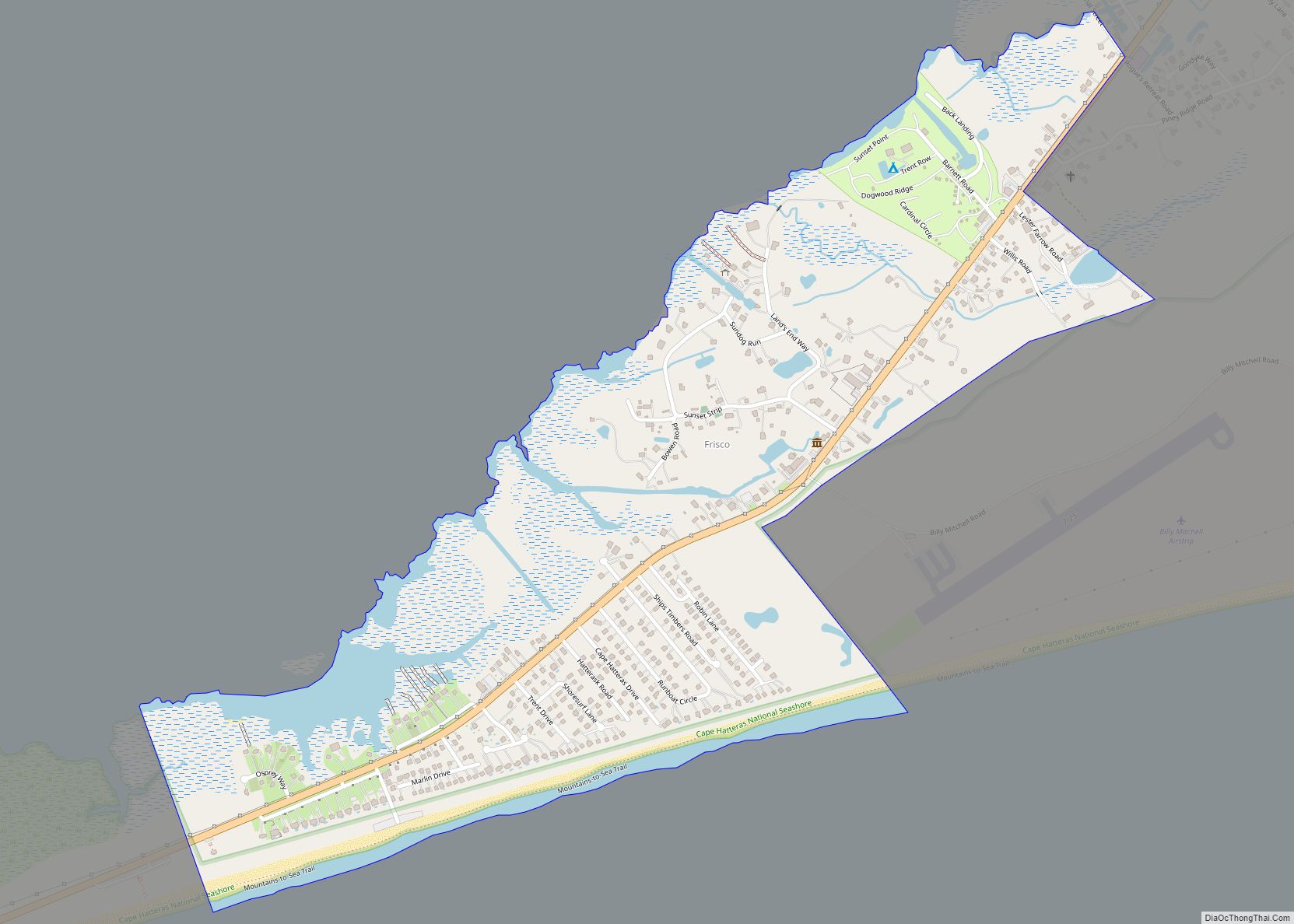
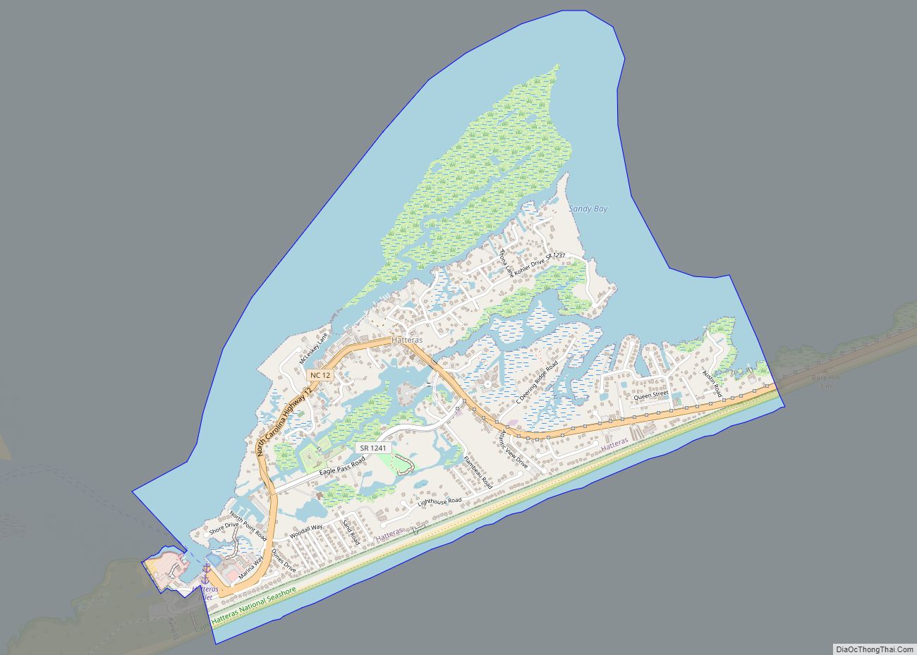
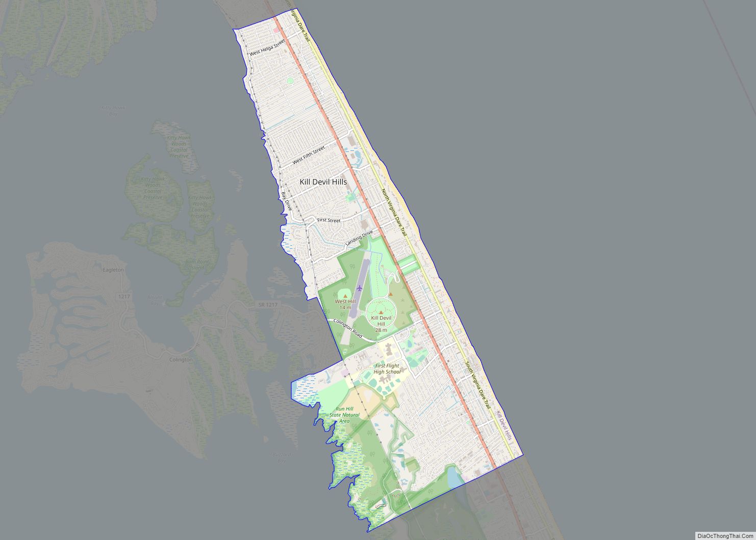
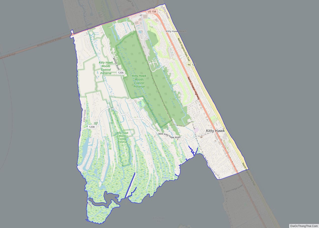
Online Interactive Map
Click on ![]() to view map in "full screen" mode.
to view map in "full screen" mode.
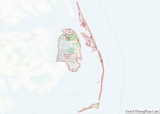
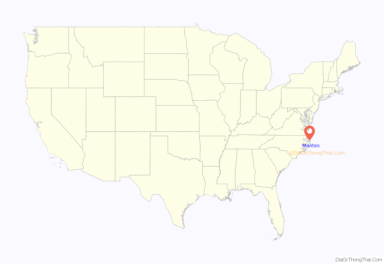
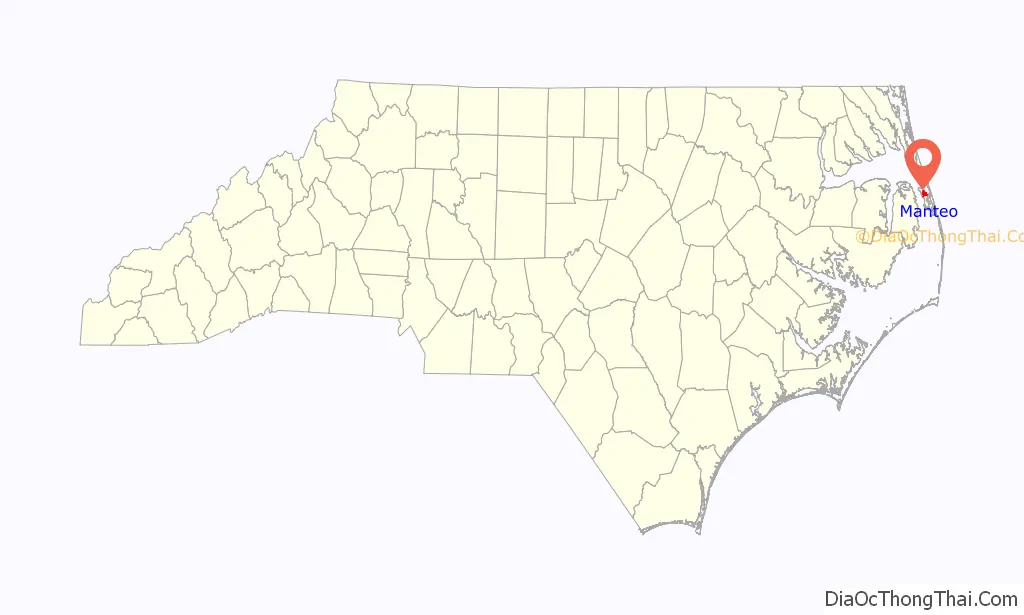
Manteo location map. Where is Manteo town?
History
The town is named for an American Indian named Manteo, who was of the Croatans tribe of American Indians. Manteo traveled with the English to London in 1584 where he and another Indian, Wanchese, learned to become the liaisons between the Roanoke Colony settlers and the Indians. He also had favorable interaction with British colonist John White. In fact, Manteo was christened and given the name Lord of Roanoke, making him the first American Indian to receive a title of nobility. Eventually, John White’s daughter Eleanor married Ananias Dare, and they had the first American-born English child, Virginia Dare. In 1587, Manteo was friendly to White when he returned to find what the final stage of the Roanoke Colony became. When the colonists disappeared after supplies from England were delayed for three years, the ongoing mystery of “The Lost Colony” began.
The “Lost” colony was established by Richard Grenville, who brought back two Indians, one of them Manteo. Manteo was named the seat of government for Dare County in 1870, and was incorporated in 1899.
Dare County is named for Virginia Dare.
In 1999, North Carolina public radio (NPR), WUNC, began broadcasting in Manteo as part of an effort to bring public radio to one of the largest areas on the East Coast of the United States without such service.
In 2005, Manteo restored its coastal warning display tower, and it is now operated by the Manteo branch of the North Carolina Maritime Museum.
Andy Griffith was a long-time resident of Manteo prior to his death in 2012.
The George Washington Creef House, John T. Daniels House, Fort Raleigh National Historic Site, and Theodore S. Meekins House are listed on the National Register of Historic Places.
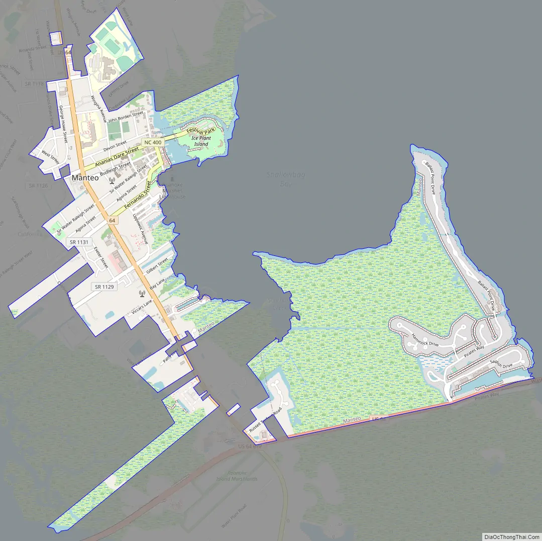
Manteo Road Map
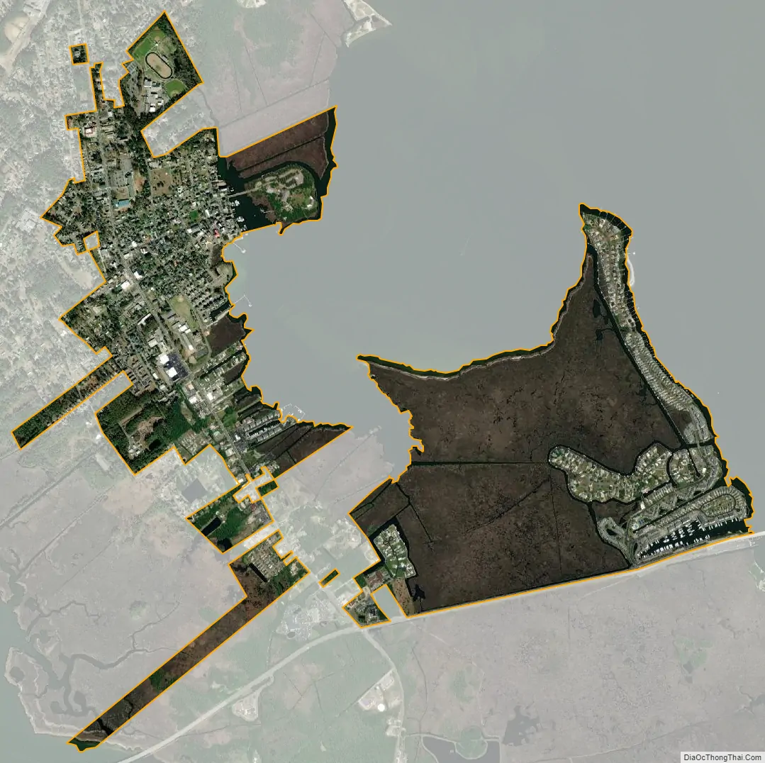
Manteo city Satellite Map
Geography
Manteo is located at 35°54′17″N 75°40′10″W / 35.90472°N 75.66944°W / 35.90472; -75.66944 (35.904595, -75.669385), on the north central area of Roanoke Island. It is located off the exit at the South 16 mile post on US Hwy 158 at Whalebone Junction, the junction of NC Highways 158, 64, and 12, known as the Beach Road.
According to the United States Census Bureau, the town has a total area of 1.98 square miles (5.13 km), of which 1.92 square miles (4.97 km) is land and 0.06 square miles (0.16 km), or 3.09%, is water.
See also
Map of North Carolina State and its subdivision:- Alamance
- Alexander
- Alleghany
- Anson
- Ashe
- Avery
- Beaufort
- Bertie
- Bladen
- Brunswick
- Buncombe
- Burke
- Cabarrus
- Caldwell
- Camden
- Carteret
- Caswell
- Catawba
- Chatham
- Cherokee
- Chowan
- Clay
- Cleveland
- Columbus
- Craven
- Cumberland
- Currituck
- Dare
- Davidson
- Davie
- Duplin
- Durham
- Edgecombe
- Forsyth
- Franklin
- Gaston
- Gates
- Graham
- Granville
- Greene
- Guilford
- Halifax
- Harnett
- Haywood
- Henderson
- Hertford
- Hoke
- Hyde
- Iredell
- Jackson
- Johnston
- Jones
- Lee
- Lenoir
- Lincoln
- Macon
- Madison
- Martin
- McDowell
- Mecklenburg
- Mitchell
- Montgomery
- Moore
- Nash
- New Hanover
- Northampton
- Onslow
- Orange
- Pamlico
- Pasquotank
- Pender
- Perquimans
- Person
- Pitt
- Polk
- Randolph
- Richmond
- Robeson
- Rockingham
- Rowan
- Rutherford
- Sampson
- Scotland
- Stanly
- Stokes
- Surry
- Swain
- Transylvania
- Tyrrell
- Union
- Vance
- Wake
- Warren
- Washington
- Watauga
- Wayne
- Wilkes
- Wilson
- Yadkin
- Yancey
- Alabama
- Alaska
- Arizona
- Arkansas
- California
- Colorado
- Connecticut
- Delaware
- District of Columbia
- Florida
- Georgia
- Hawaii
- Idaho
- Illinois
- Indiana
- Iowa
- Kansas
- Kentucky
- Louisiana
- Maine
- Maryland
- Massachusetts
- Michigan
- Minnesota
- Mississippi
- Missouri
- Montana
- Nebraska
- Nevada
- New Hampshire
- New Jersey
- New Mexico
- New York
- North Carolina
- North Dakota
- Ohio
- Oklahoma
- Oregon
- Pennsylvania
- Rhode Island
- South Carolina
- South Dakota
- Tennessee
- Texas
- Utah
- Vermont
- Virginia
- Washington
- West Virginia
- Wisconsin
- Wyoming