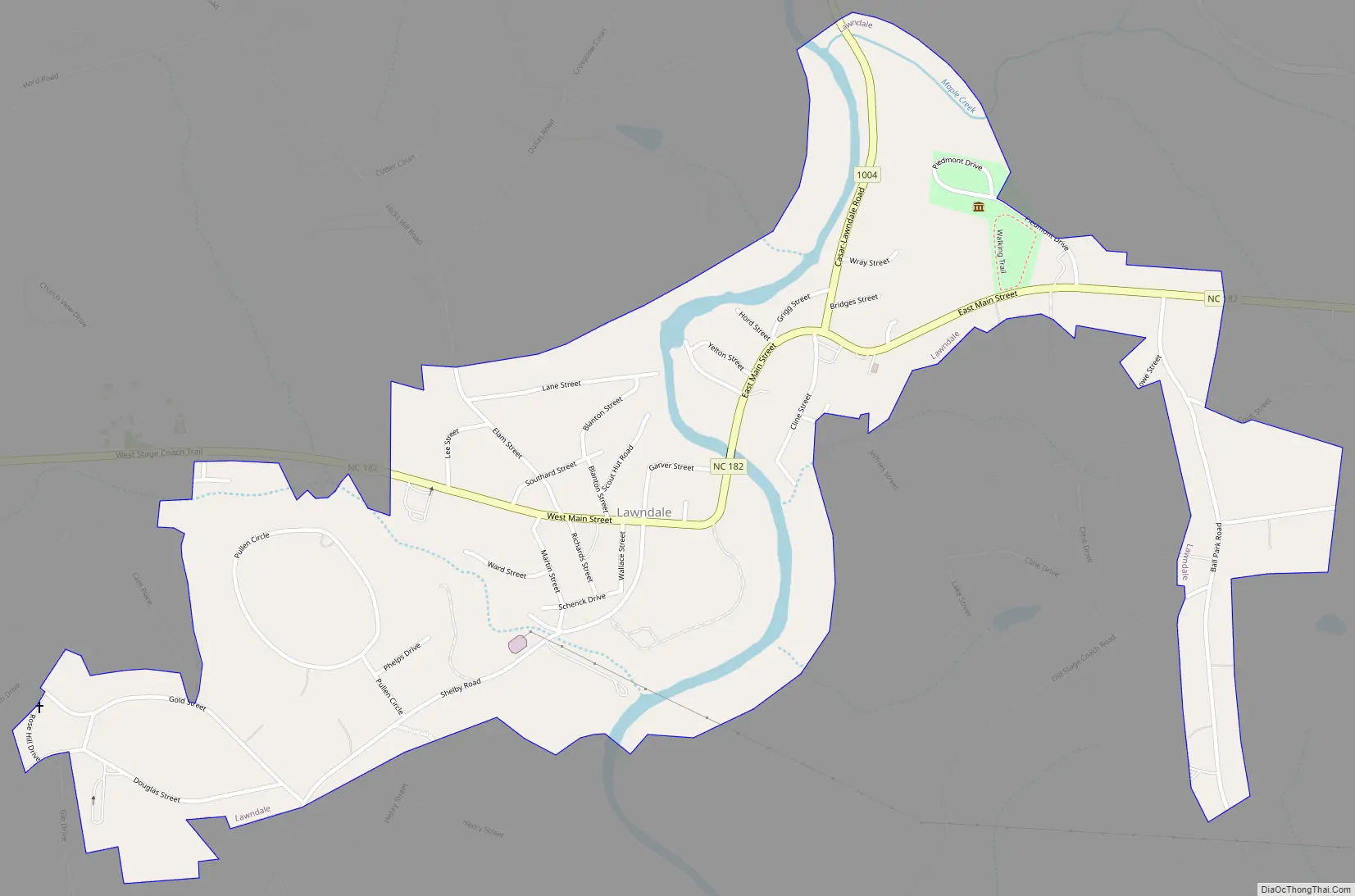
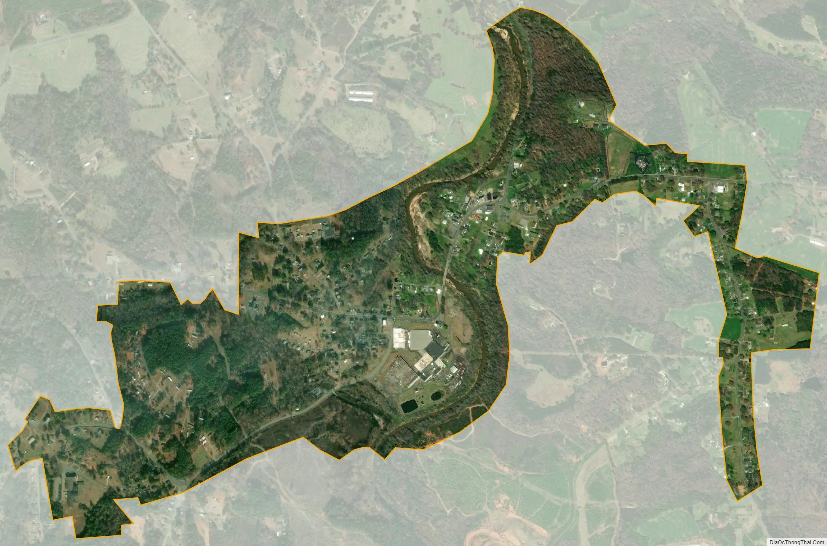
Lawndale is a town in Cleveland County, North Carolina, United States, situated along the First Broad River. The population was 606 at the 2010 census.
| Name: | Lawndale town |
|---|---|
| LSAD Code: | 43 |
| LSAD Description: | town (suffix) |
| State: | North Carolina |
| County: | Cleveland County |
| Elevation: | 846 ft (258 m) |
| Total Area: | 0.86 sq mi (2.23 km²) |
| Land Area: | 0.81 sq mi (2.09 km²) |
| Water Area: | 0.05 sq mi (0.14 km²) |
| Total Population: | 570 |
| Population Density: | 706.32/sq mi (272.86/km²) |
| ZIP code: | 28090 |
| Area code: | 704 |
| FIPS code: | 3737260 |
| GNISfeature ID: | 0988220 |
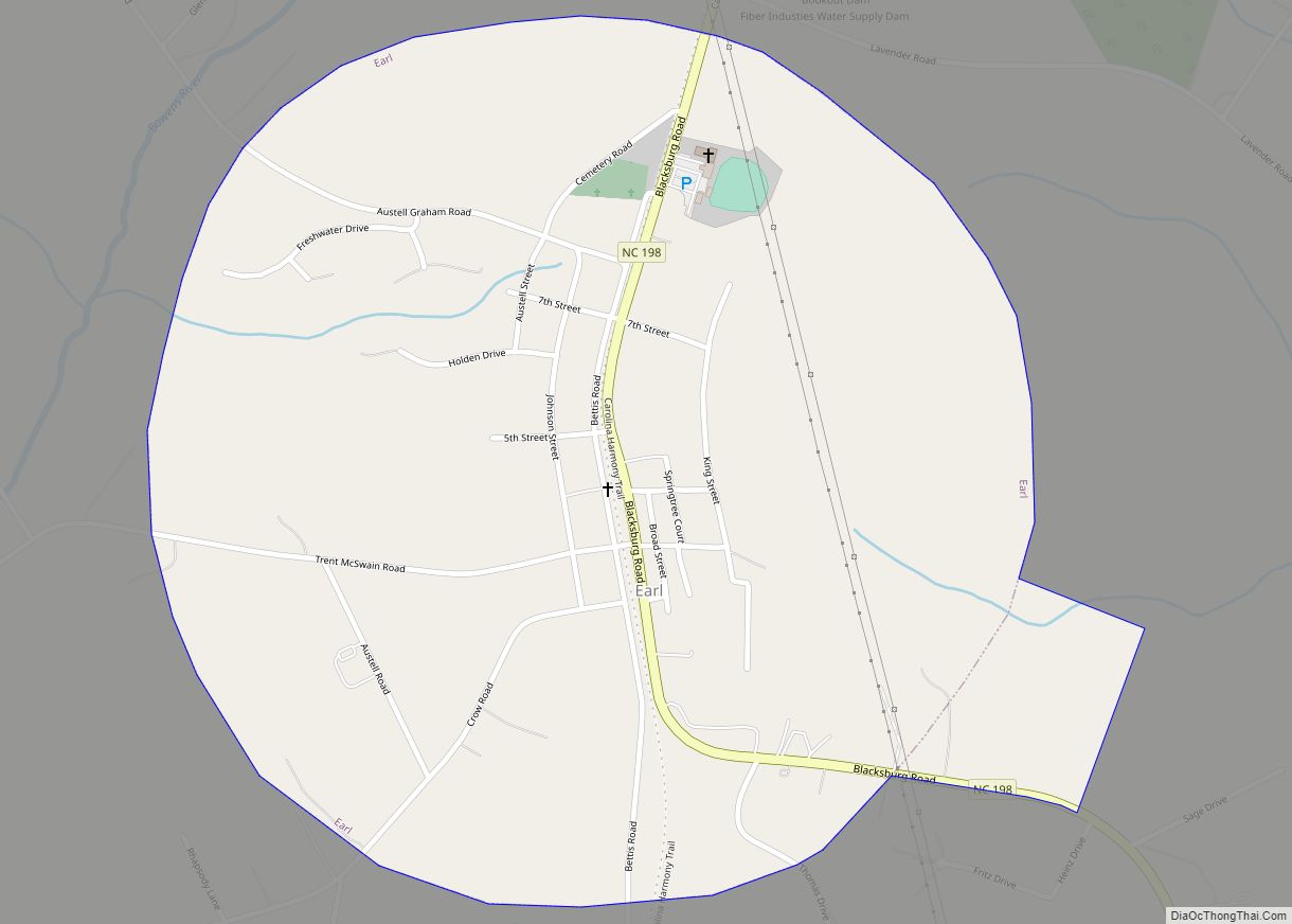
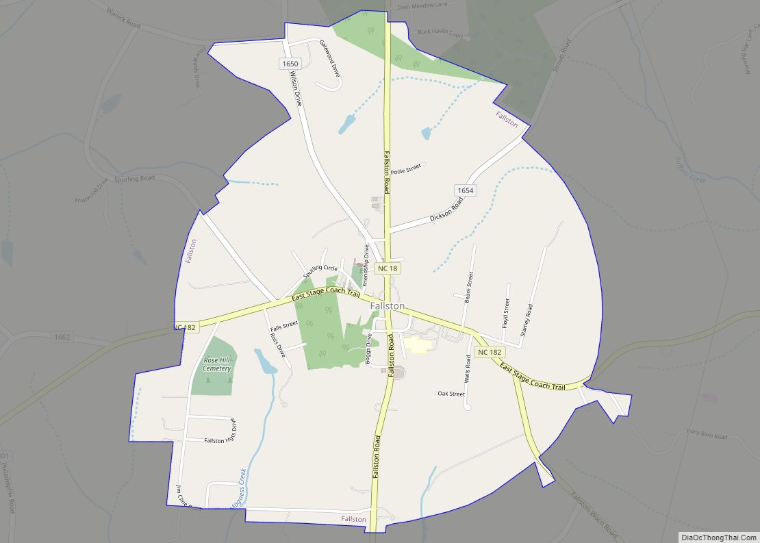
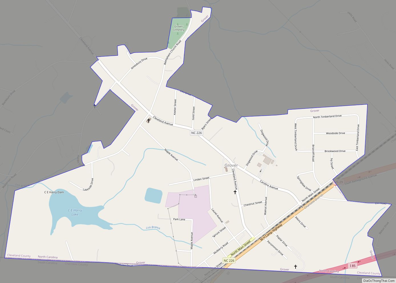
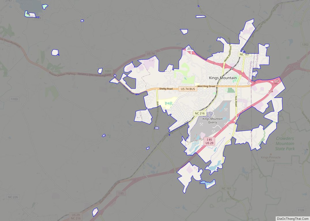
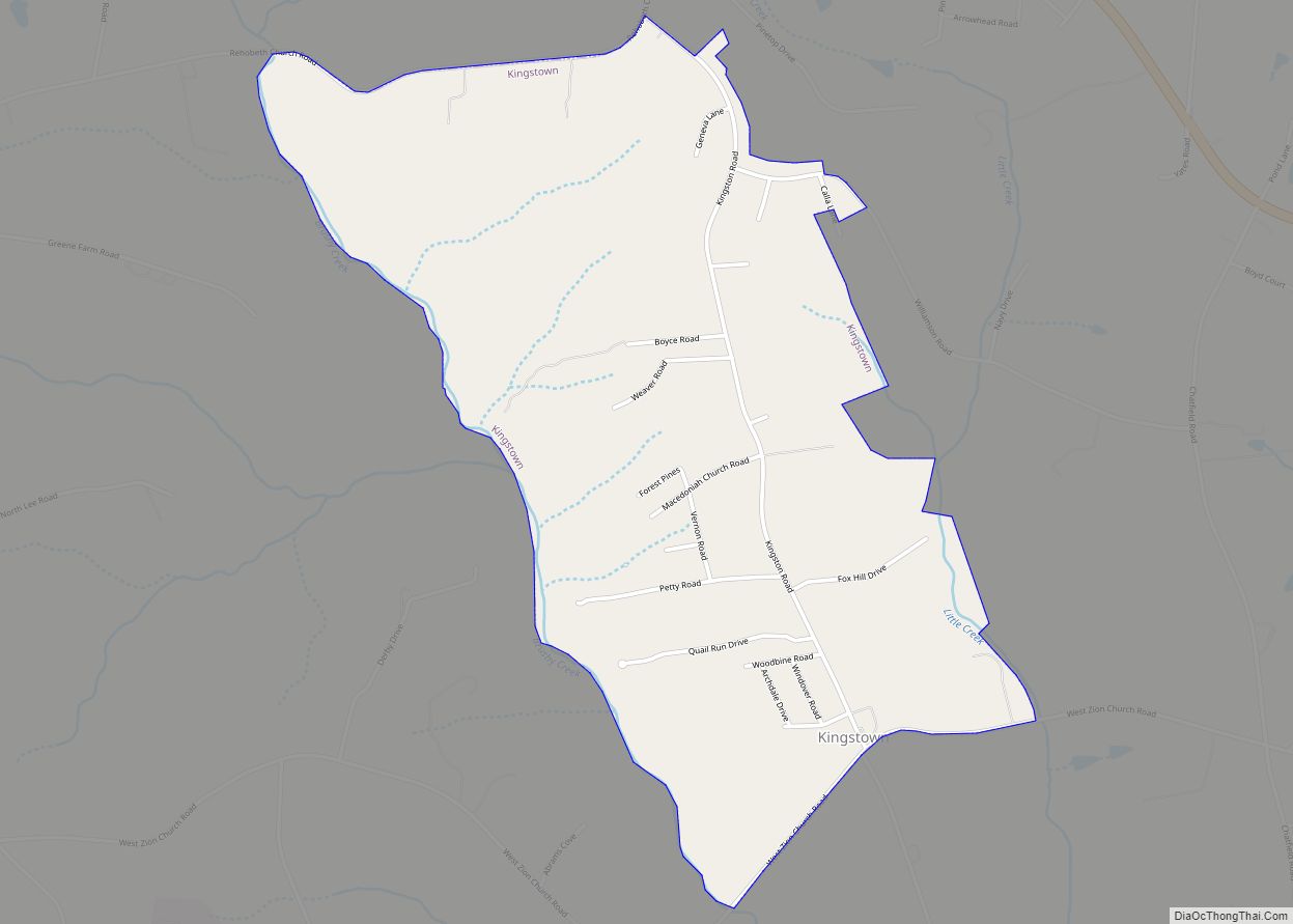
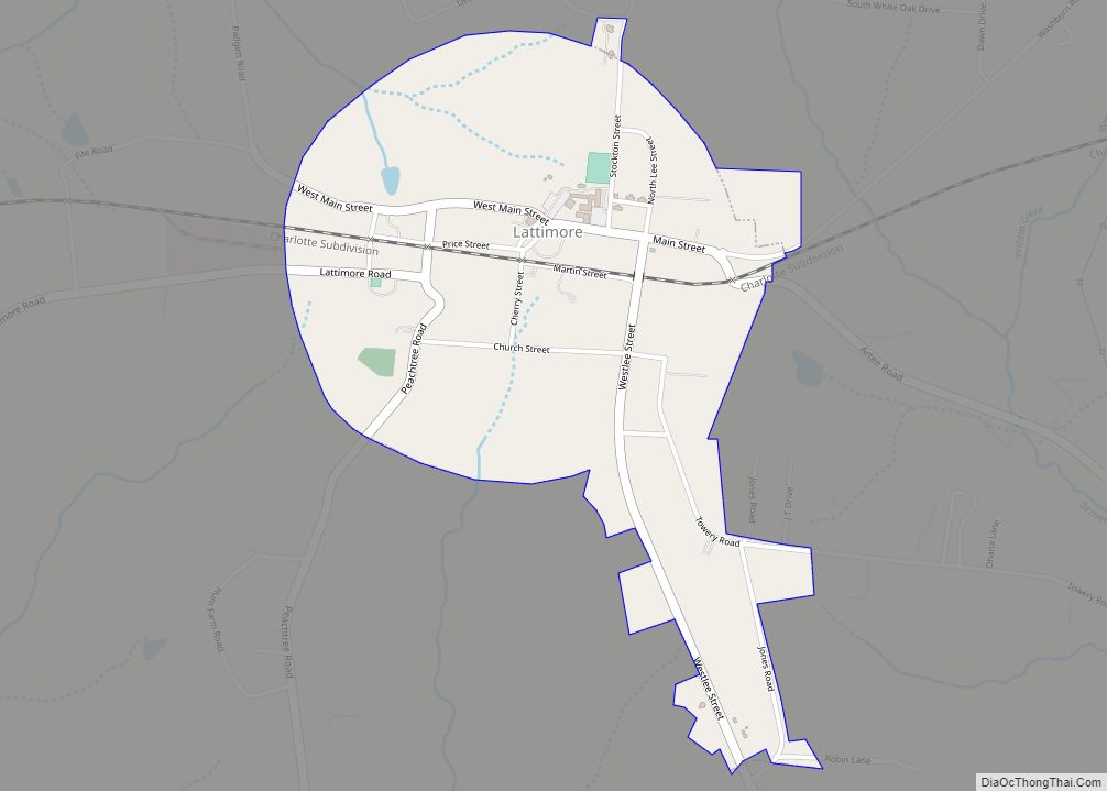
Online Interactive Map
Click on ![]() to view map in "full screen" mode.
to view map in "full screen" mode.
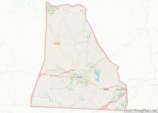
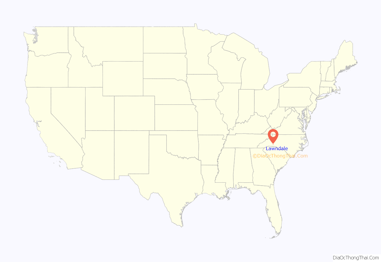
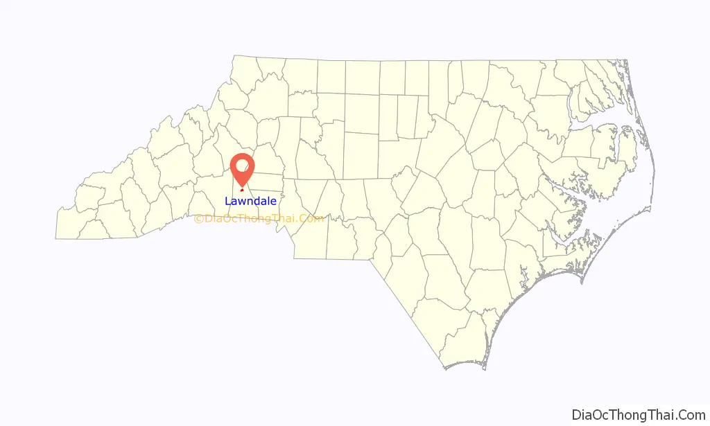
Lawndale location map. Where is Lawndale town?
History
Lawndale developed in the late 19th century around the Cleveland Mills plant established by Major H.F. Schenck. The town was named for the green lawns of the houses where many of the mill’s workers lived. Schenck’s daughter and son-in-law opened the Piedmont Academy in 1897, and rail service to Shelby began two years later. Lawndale was incorporated in 1903.
Lawndale Road Map
Lawndale city Satellite Map
Geography
Lawndale is located at 35°24′54″N 81°33′44″W / 35.41500°N 81.56222°W / 35.41500; -81.56222 (35.415039, -81.562250).
According to the United States Census Bureau, the town has a total area of 0.9 square miles (2.3 km), of which 0.8 square miles (2.1 km) is land and 0.1 square miles (0.26 km) (5.81%) is water.
See also
Map of North Carolina State and its subdivision:- Alamance
- Alexander
- Alleghany
- Anson
- Ashe
- Avery
- Beaufort
- Bertie
- Bladen
- Brunswick
- Buncombe
- Burke
- Cabarrus
- Caldwell
- Camden
- Carteret
- Caswell
- Catawba
- Chatham
- Cherokee
- Chowan
- Clay
- Cleveland
- Columbus
- Craven
- Cumberland
- Currituck
- Dare
- Davidson
- Davie
- Duplin
- Durham
- Edgecombe
- Forsyth
- Franklin
- Gaston
- Gates
- Graham
- Granville
- Greene
- Guilford
- Halifax
- Harnett
- Haywood
- Henderson
- Hertford
- Hoke
- Hyde
- Iredell
- Jackson
- Johnston
- Jones
- Lee
- Lenoir
- Lincoln
- Macon
- Madison
- Martin
- McDowell
- Mecklenburg
- Mitchell
- Montgomery
- Moore
- Nash
- New Hanover
- Northampton
- Onslow
- Orange
- Pamlico
- Pasquotank
- Pender
- Perquimans
- Person
- Pitt
- Polk
- Randolph
- Richmond
- Robeson
- Rockingham
- Rowan
- Rutherford
- Sampson
- Scotland
- Stanly
- Stokes
- Surry
- Swain
- Transylvania
- Tyrrell
- Union
- Vance
- Wake
- Warren
- Washington
- Watauga
- Wayne
- Wilkes
- Wilson
- Yadkin
- Yancey
- Alabama
- Alaska
- Arizona
- Arkansas
- California
- Colorado
- Connecticut
- Delaware
- District of Columbia
- Florida
- Georgia
- Hawaii
- Idaho
- Illinois
- Indiana
- Iowa
- Kansas
- Kentucky
- Louisiana
- Maine
- Maryland
- Massachusetts
- Michigan
- Minnesota
- Mississippi
- Missouri
- Montana
- Nebraska
- Nevada
- New Hampshire
- New Jersey
- New Mexico
- New York
- North Carolina
- North Dakota
- Ohio
- Oklahoma
- Oregon
- Pennsylvania
- Rhode Island
- South Carolina
- South Dakota
- Tennessee
- Texas
- Utah
- Vermont
- Virginia
- Washington
- West Virginia
- Wisconsin
- Wyoming