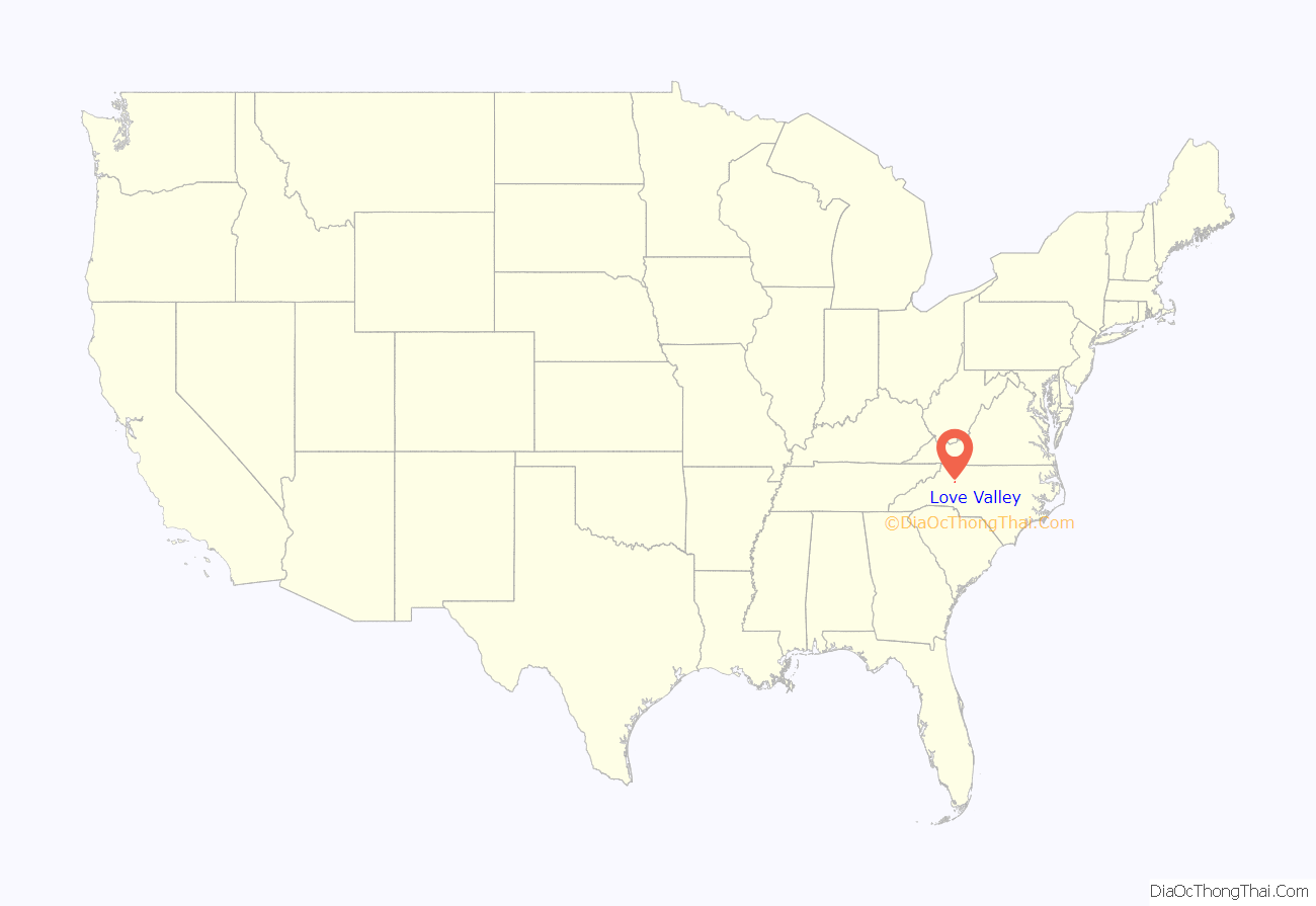
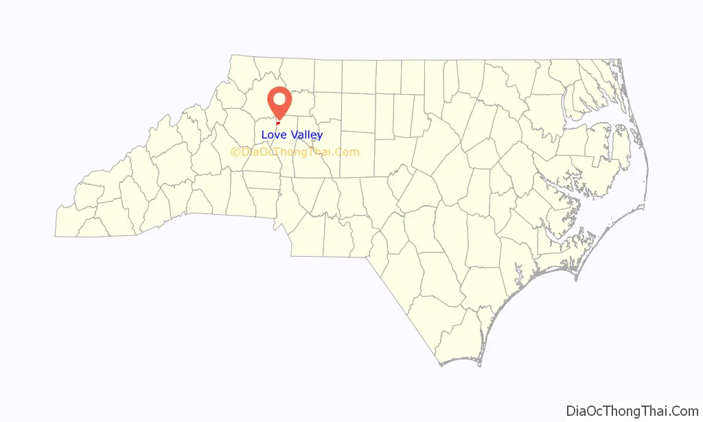
Love Valley is a town in Iredell County, North Carolina, United States. It also extends into Alexander County on its western end. The population was 90 at the 2010 census, and in 2020 the estimated population was 154.
| Name: | Love Valley town |
|---|---|
| LSAD Code: | 43 |
| LSAD Description: | town (suffix) |
| State: | North Carolina |
| County: | Iredell County |
| Elevation: | 1,165 ft (355 m) |
| Total Area: | 1.02 sq mi (2.65 km²) |
| Land Area: | 1.02 sq mi (2.65 km²) |
| Water Area: | 0.00 sq mi (0.00 km²) |
| Total Population: | 154 |
| Population Density: | 150.54/sq mi (58.12/km²) |
| ZIP code: | 28625 |
| Area code: | 704 |
| FIPS code: | 3739420 |
| GNISfeature ID: | 1021294 |
| Website: | www.lovevalley.com |
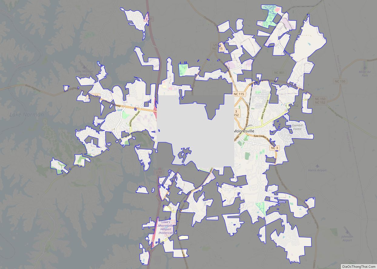
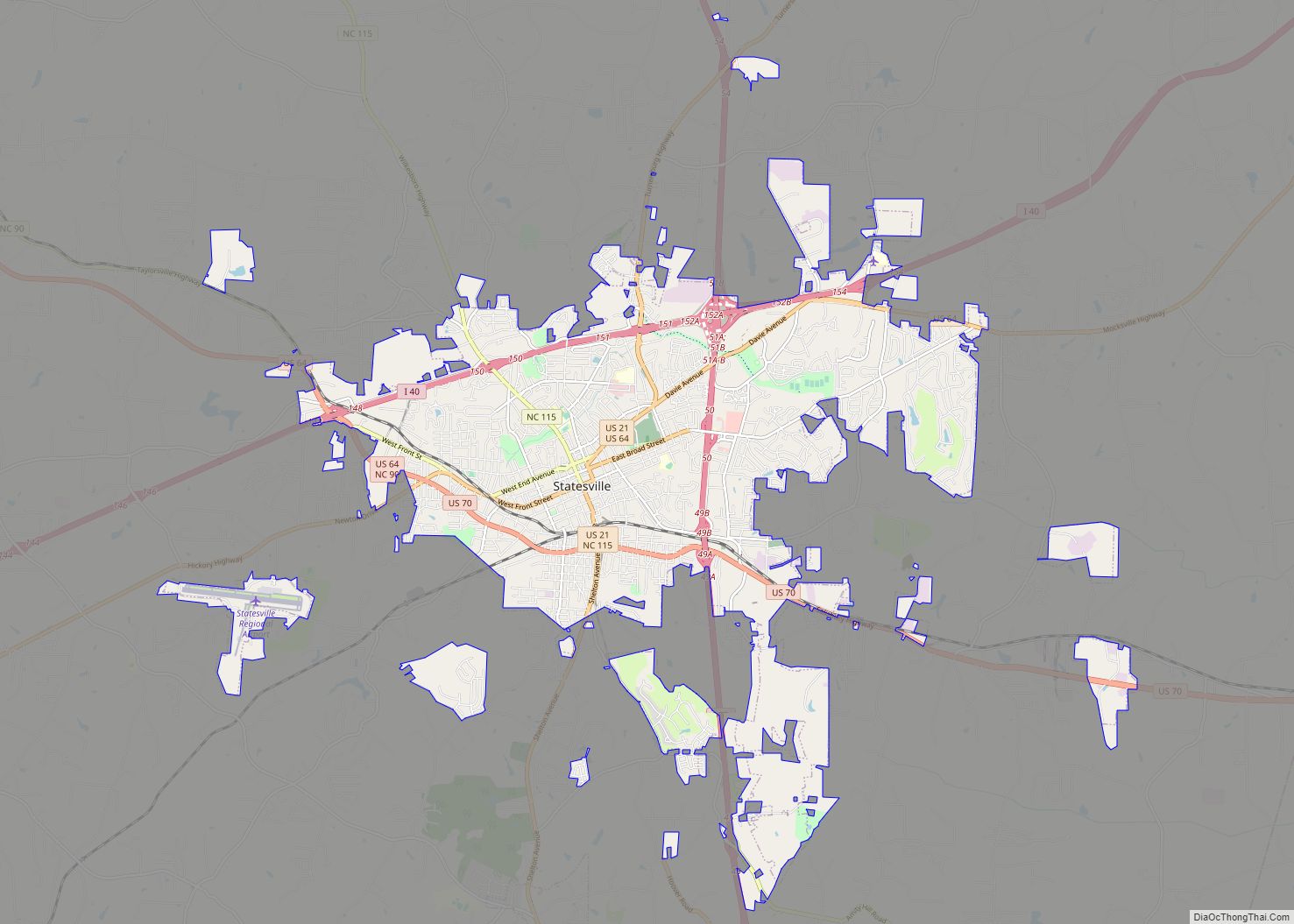
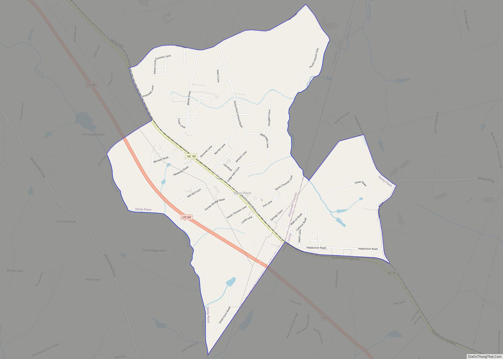
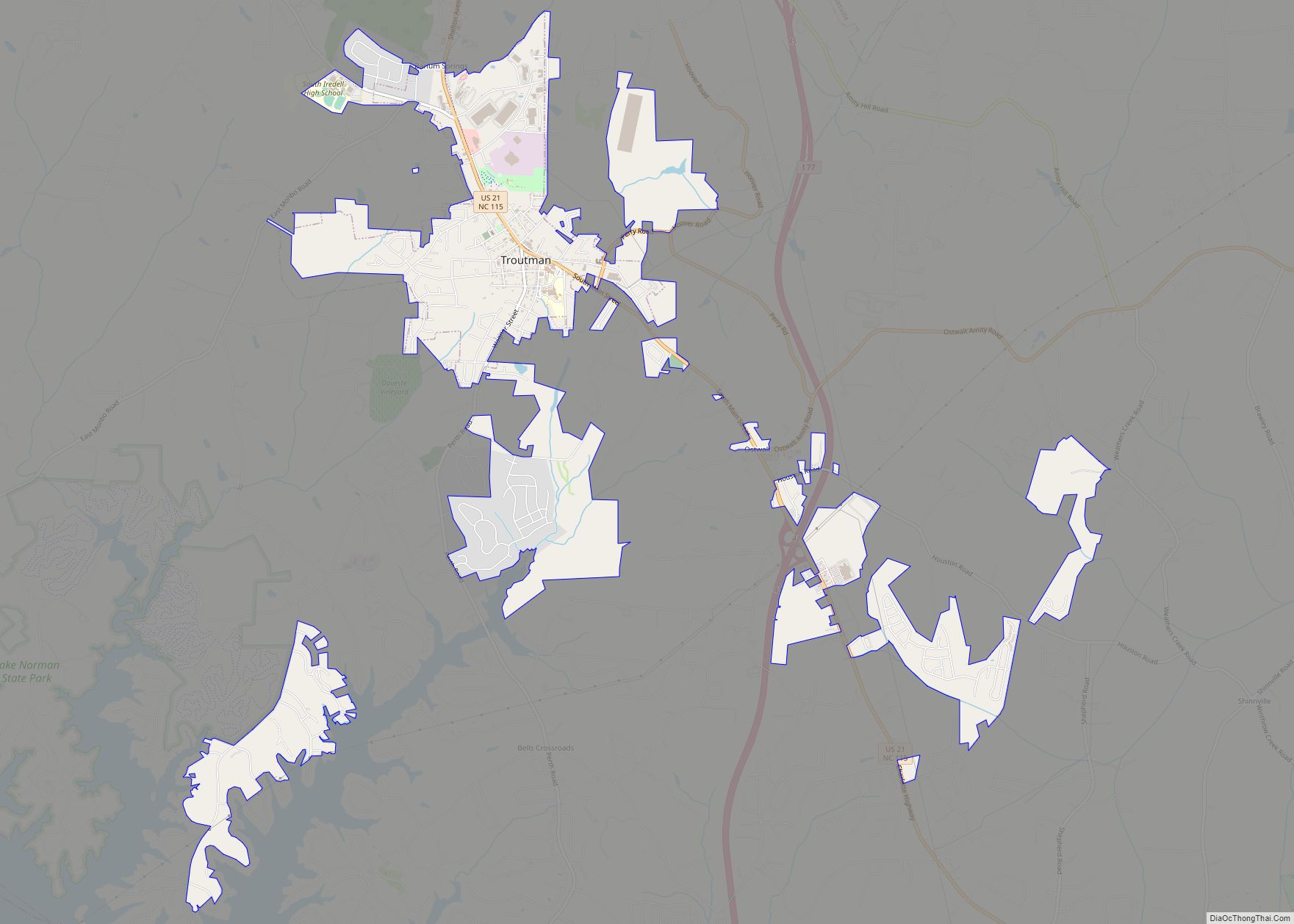
Online Interactive Map
Click on ![]() to view map in "full screen" mode.
to view map in "full screen" mode.
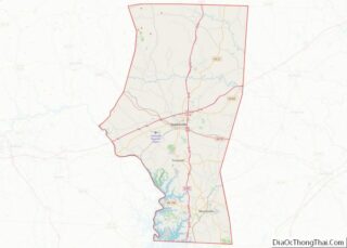
Love Valley location map. Where is Love Valley town?
History
Love Valley is a small town located in a remote valley in the Brushy Mountains of northwestern North Carolina. Its creation in 1954 marked the fulfillment of a dream for founder Andy Barker. Barker developed two visions as a young man—he wanted to build a Christian community, and he wanted to be a cowboy. In 1954 he combined those visions to create an Old West-style village in the hills of northwestern Iredell County. The town was chartered in 1963.
Modeled after the Old West towns seen in countless Hollywood films, Love Valley boasts a saloon, general store, hitching posts, and rodeos. Automobiles are not allowed inside the town limits; people still use horses and horse-drawn vehicles to travel in the town. A small, nondenominational Christian church sits on a hill overlooking the town, thus emphasizing Barker’s vision of a Christian utopia. The town garnered its share of controversy in the 1960s and 1970s, including around the “Love Valley Rock Festival”, which local farmers complained brought drug addicts and other “troublemakers” to the area. However, over the last two decades the town has settled down considerably and is now known as a popular gathering spot for horse-lovers and horseback riding. There are miles of horseback riding trails in the surrounding Brushy Mountains.
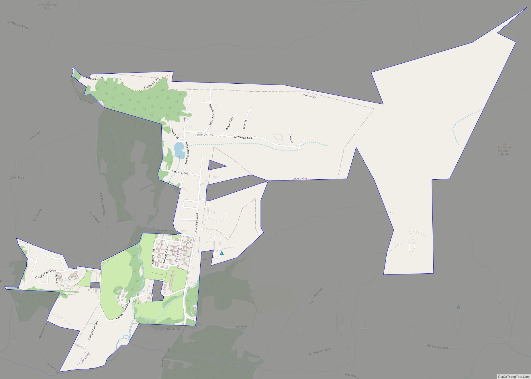
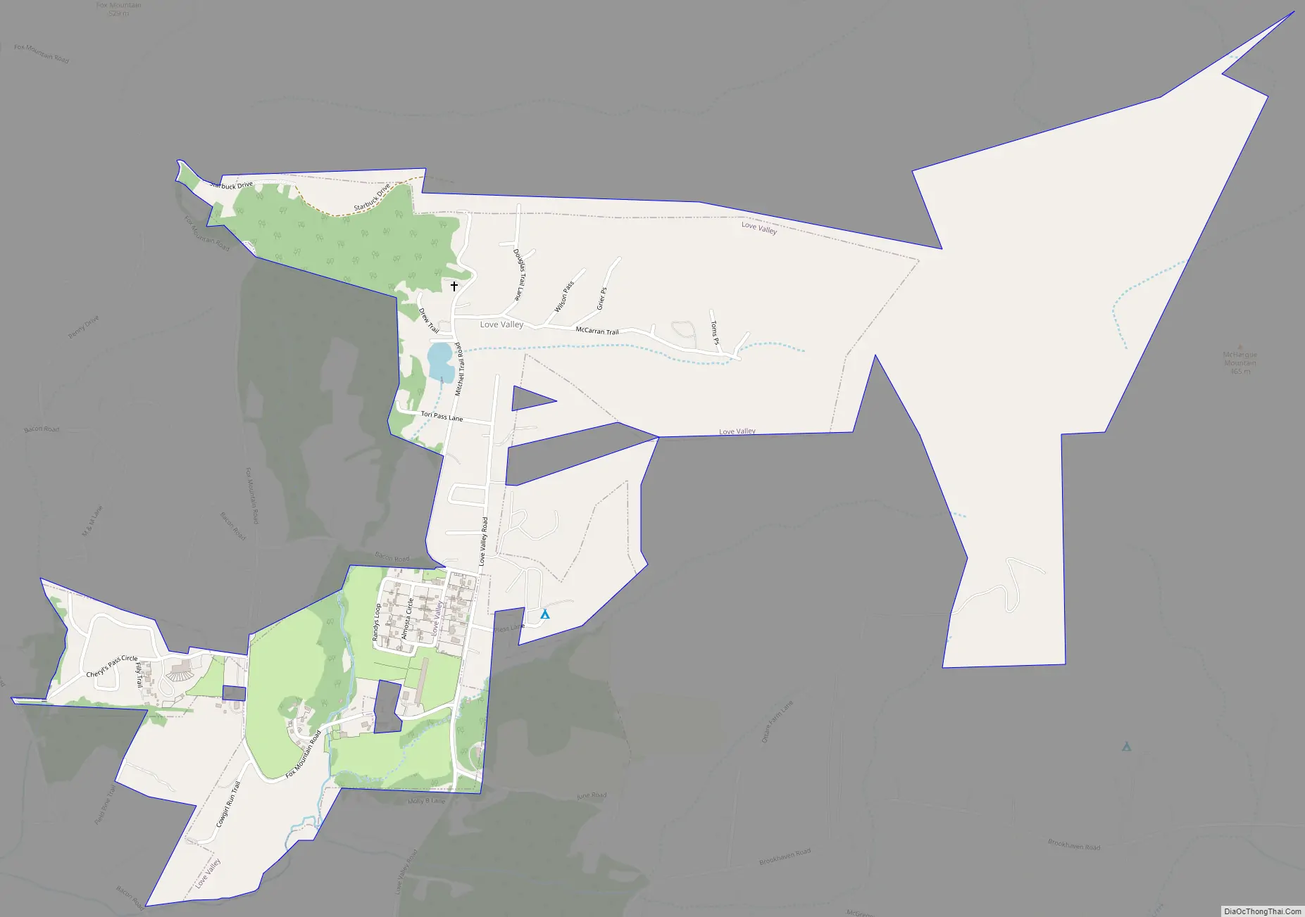
Love Valley Road Map
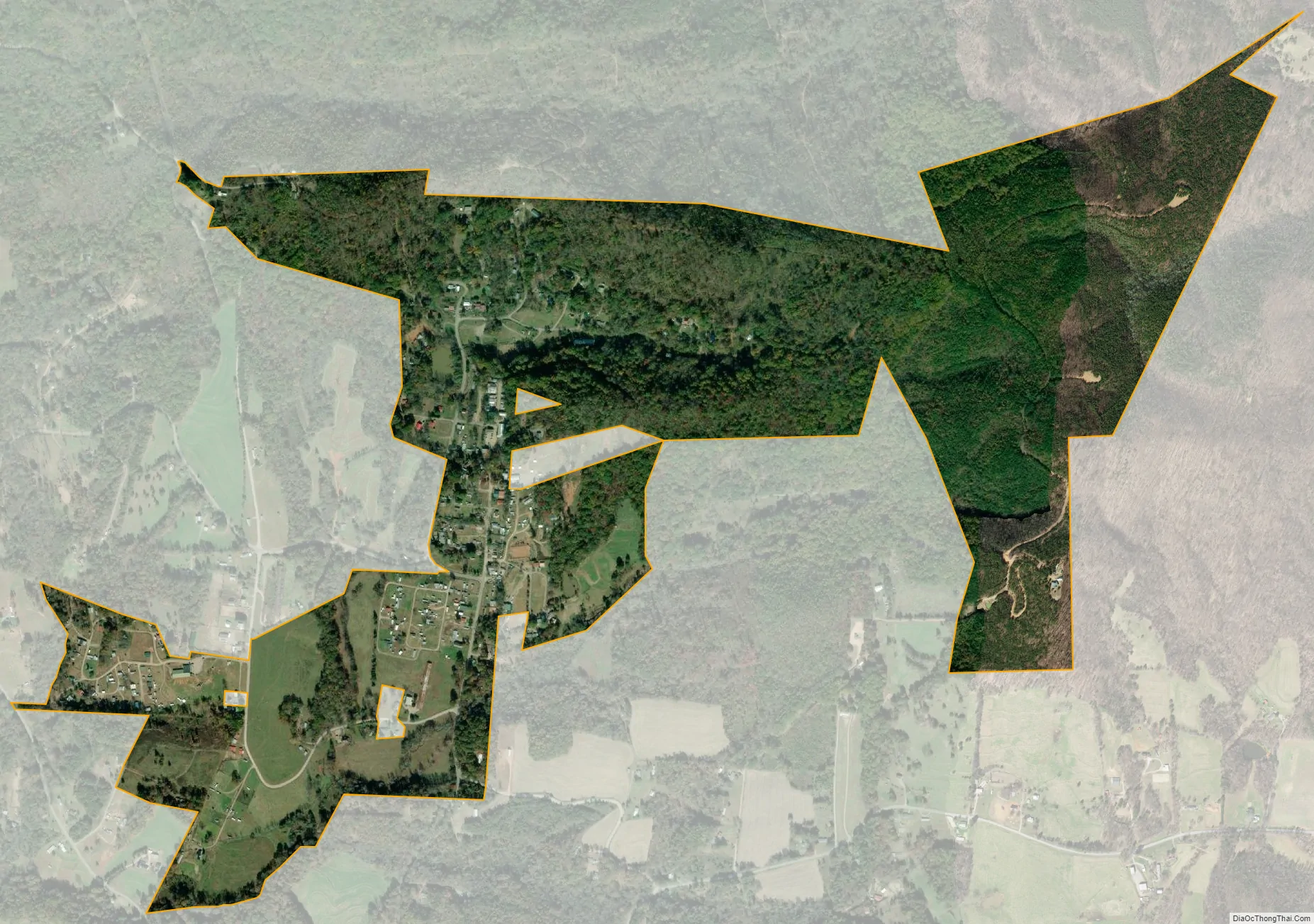
Love Valley city Satellite Map
Geography
Love Valley is located in the Brushy Mountains of northwestern Iredell County at 35°59′22″N 80°59′18″W / 35.98944°N 80.98833°W / 35.98944; -80.98833 (35.989376, -80.988206). It is 16 miles (26 km) north of Statesville, the Iredell County seat, and 23 miles (37 km) southeast of Wilkesboro by road through the Brushy Mountains.
According to the United States Census Bureau, the town has a total area of 0.62 square miles (1.6 km), of which 5,366 square metres (1.3 acres), or 0.33%, are water. The town’s area drains southwest to Snow Creek, part of the South Yadkin River watershed.
See also
Map of North Carolina State and its subdivision:- Alamance
- Alexander
- Alleghany
- Anson
- Ashe
- Avery
- Beaufort
- Bertie
- Bladen
- Brunswick
- Buncombe
- Burke
- Cabarrus
- Caldwell
- Camden
- Carteret
- Caswell
- Catawba
- Chatham
- Cherokee
- Chowan
- Clay
- Cleveland
- Columbus
- Craven
- Cumberland
- Currituck
- Dare
- Davidson
- Davie
- Duplin
- Durham
- Edgecombe
- Forsyth
- Franklin
- Gaston
- Gates
- Graham
- Granville
- Greene
- Guilford
- Halifax
- Harnett
- Haywood
- Henderson
- Hertford
- Hoke
- Hyde
- Iredell
- Jackson
- Johnston
- Jones
- Lee
- Lenoir
- Lincoln
- Macon
- Madison
- Martin
- McDowell
- Mecklenburg
- Mitchell
- Montgomery
- Moore
- Nash
- New Hanover
- Northampton
- Onslow
- Orange
- Pamlico
- Pasquotank
- Pender
- Perquimans
- Person
- Pitt
- Polk
- Randolph
- Richmond
- Robeson
- Rockingham
- Rowan
- Rutherford
- Sampson
- Scotland
- Stanly
- Stokes
- Surry
- Swain
- Transylvania
- Tyrrell
- Union
- Vance
- Wake
- Warren
- Washington
- Watauga
- Wayne
- Wilkes
- Wilson
- Yadkin
- Yancey
- Alabama
- Alaska
- Arizona
- Arkansas
- California
- Colorado
- Connecticut
- Delaware
- District of Columbia
- Florida
- Georgia
- Hawaii
- Idaho
- Illinois
- Indiana
- Iowa
- Kansas
- Kentucky
- Louisiana
- Maine
- Maryland
- Massachusetts
- Michigan
- Minnesota
- Mississippi
- Missouri
- Montana
- Nebraska
- Nevada
- New Hampshire
- New Jersey
- New Mexico
- New York
- North Carolina
- North Dakota
- Ohio
- Oklahoma
- Oregon
- Pennsylvania
- Rhode Island
- South Carolina
- South Dakota
- Tennessee
- Texas
- Utah
- Vermont
- Virginia
- Washington
- West Virginia
- Wisconsin
- Wyoming