Mountain Home is an unincorporated community and census-designated place (CDP) in Henderson County, North Carolina, United States. The population was 3,622 at the 2010 census, up from 2,169 in 2000. It is part of the Asheville Metropolitan Statistical Area.
| Name: | Mountain Home CDP |
|---|---|
| LSAD Code: | 57 |
| LSAD Description: | CDP (suffix) |
| State: | North Carolina |
| County: | Henderson County |
| Elevation: | 2,129 ft (649 m) |
| Total Area: | 3.79 sq mi (9.82 km²) |
| Land Area: | 3.77 sq mi (9.77 km²) |
| Water Area: | 0.02 sq mi (0.06 km²) |
| Total Population: | 3,490 |
| Population Density: | 925.48/sq mi (357.35/km²) |
| ZIP code: | 28758 |
| Area code: | 828 |
| FIPS code: | 3744700 |
| GNISfeature ID: | 1021571 |
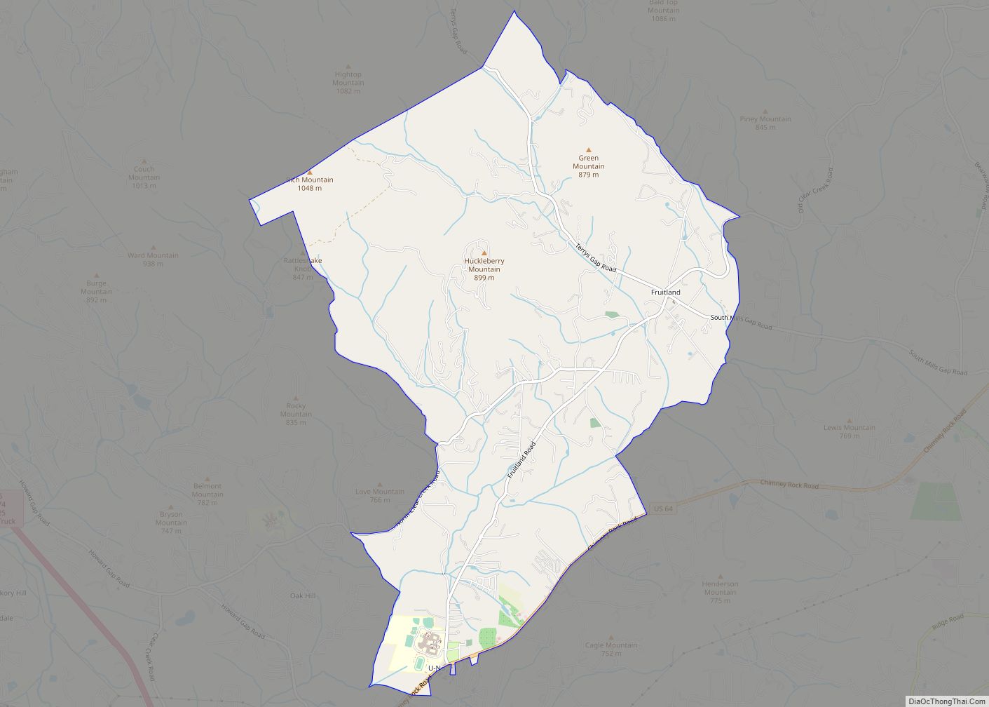
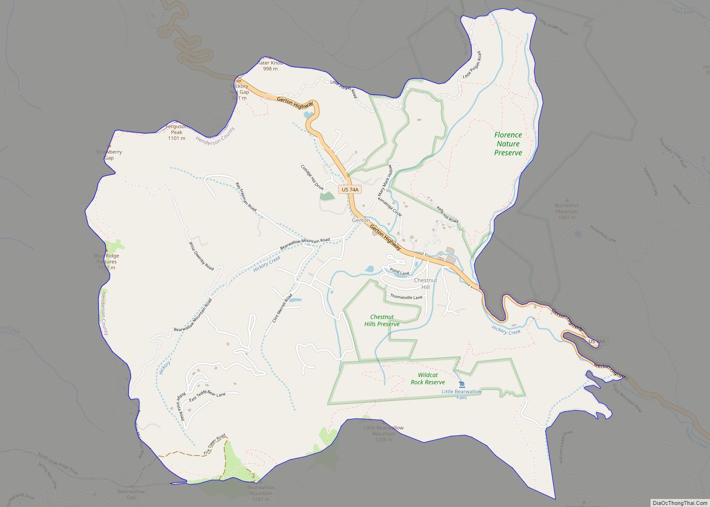
Online Interactive Map
Click on ![]() to view map in "full screen" mode.
to view map in "full screen" mode.
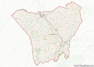
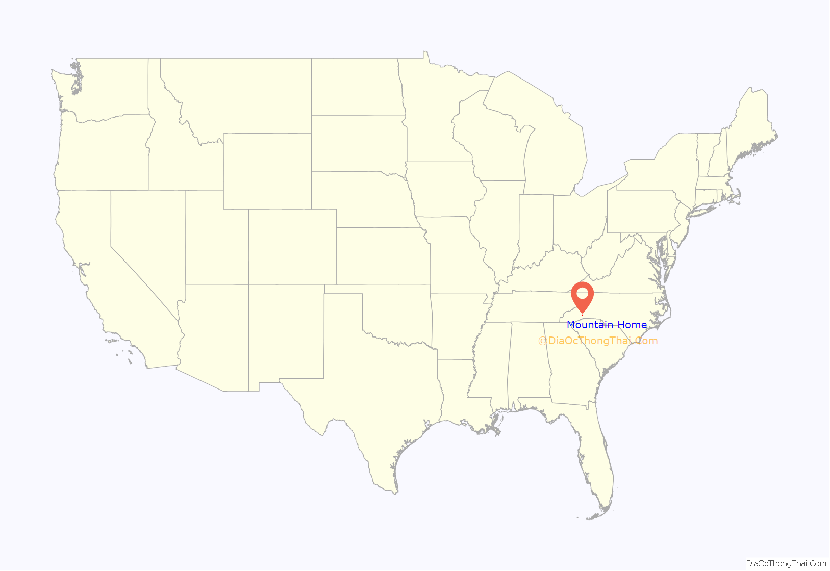
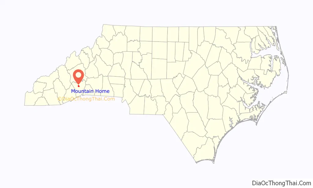
Mountain Home location map. Where is Mountain Home CDP?
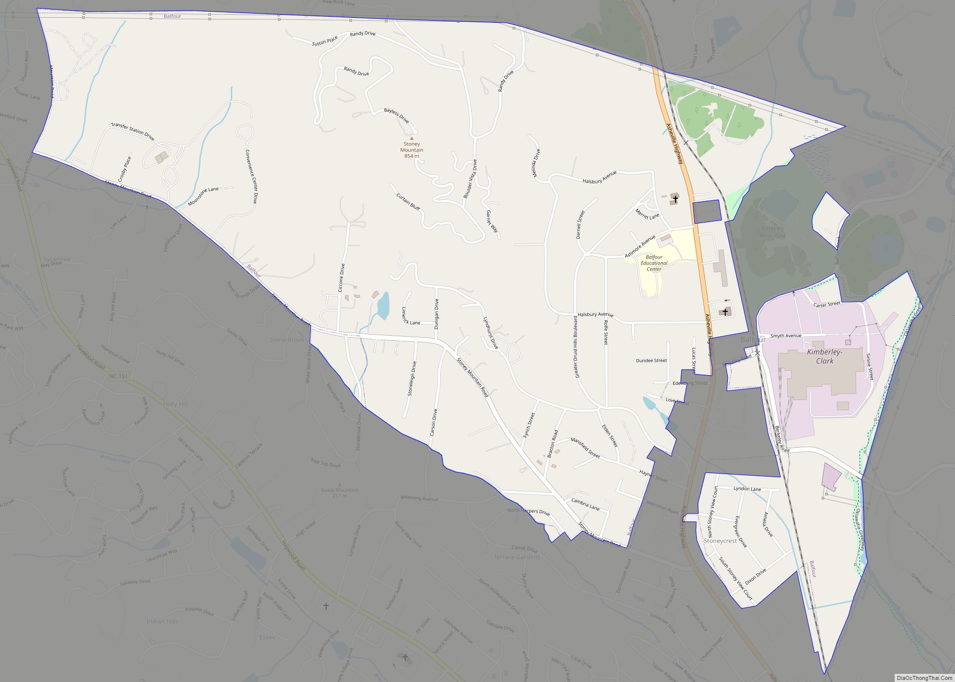
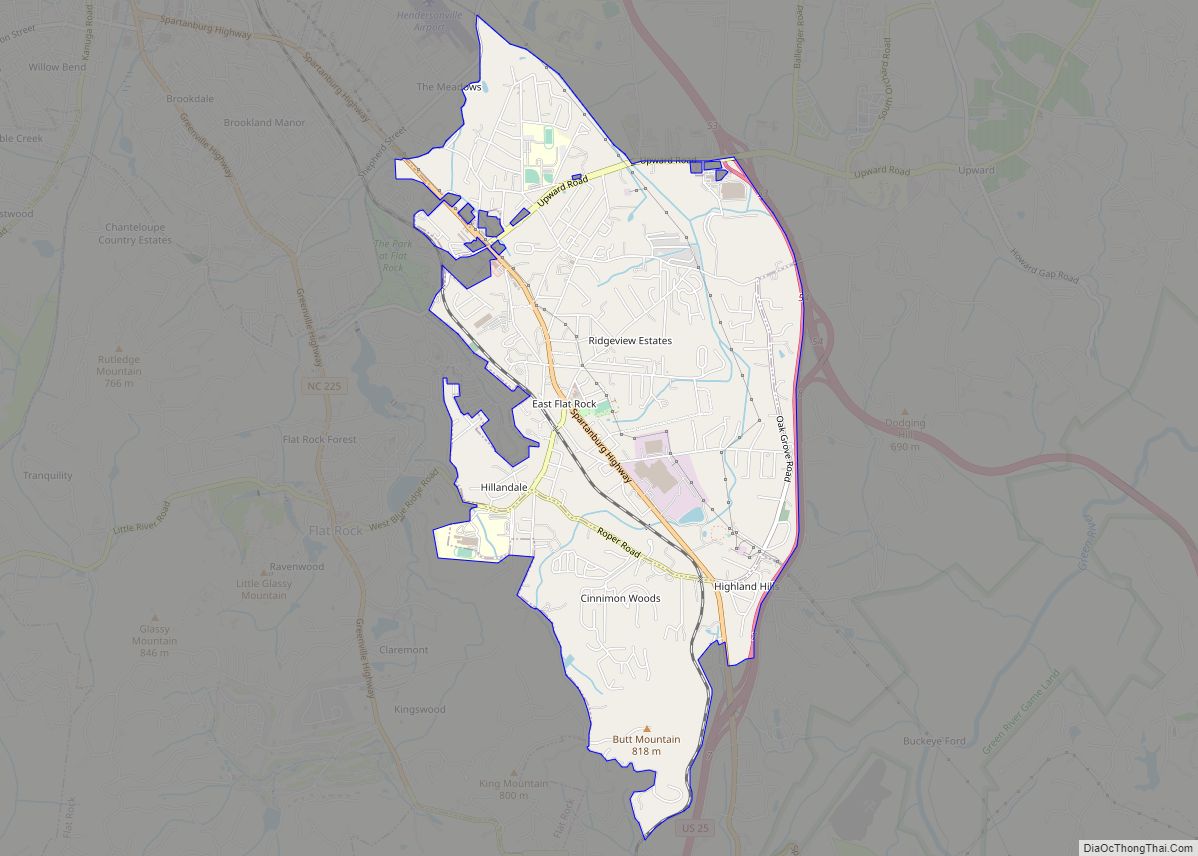
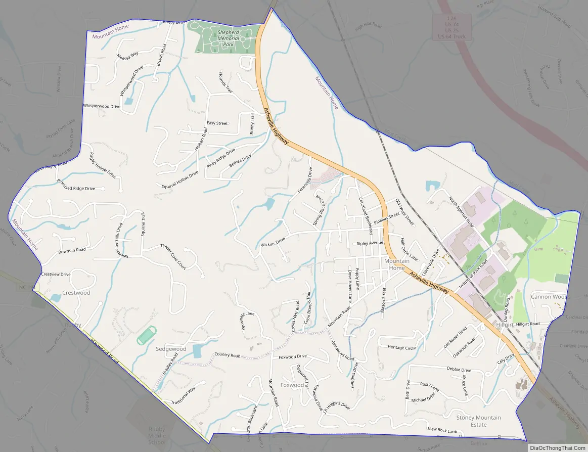
Mountain Home Road Map
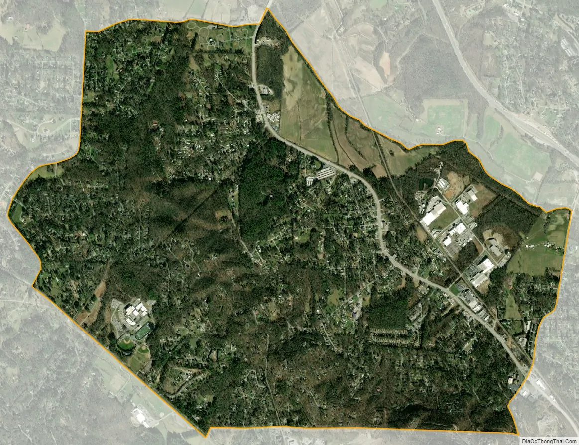
Mountain Home city Satellite Map
Geography
Mountain Home is located in north-central Henderson County at 35°22′12″N 82°30′8″W / 35.37000°N 82.50222°W / 35.37000; -82.50222 (35.370015, -82.502173). It is bordered to the south by Balfour and to the northeast by Mud Creek, a tributary of the French Broad River. North Carolina Highway 191 forms the southwestern edge of the CDP. U.S. Route 25 Business (Asheville Highway) is the main road through Mountain Home, leading north 2 miles (3 km) to Interstate 26 and 17 miles (27 km) to Asheville. US 25 Business leads south 4 miles (6 km) to Hendersonville.
According to the United States Census Bureau, the CDP has a total area of 3.8 square miles (9.8 km), of which 0.02 square miles (0.06 km), or 0.58%, are water.
See also
Map of North Carolina State and its subdivision:- Alamance
- Alexander
- Alleghany
- Anson
- Ashe
- Avery
- Beaufort
- Bertie
- Bladen
- Brunswick
- Buncombe
- Burke
- Cabarrus
- Caldwell
- Camden
- Carteret
- Caswell
- Catawba
- Chatham
- Cherokee
- Chowan
- Clay
- Cleveland
- Columbus
- Craven
- Cumberland
- Currituck
- Dare
- Davidson
- Davie
- Duplin
- Durham
- Edgecombe
- Forsyth
- Franklin
- Gaston
- Gates
- Graham
- Granville
- Greene
- Guilford
- Halifax
- Harnett
- Haywood
- Henderson
- Hertford
- Hoke
- Hyde
- Iredell
- Jackson
- Johnston
- Jones
- Lee
- Lenoir
- Lincoln
- Macon
- Madison
- Martin
- McDowell
- Mecklenburg
- Mitchell
- Montgomery
- Moore
- Nash
- New Hanover
- Northampton
- Onslow
- Orange
- Pamlico
- Pasquotank
- Pender
- Perquimans
- Person
- Pitt
- Polk
- Randolph
- Richmond
- Robeson
- Rockingham
- Rowan
- Rutherford
- Sampson
- Scotland
- Stanly
- Stokes
- Surry
- Swain
- Transylvania
- Tyrrell
- Union
- Vance
- Wake
- Warren
- Washington
- Watauga
- Wayne
- Wilkes
- Wilson
- Yadkin
- Yancey
- Alabama
- Alaska
- Arizona
- Arkansas
- California
- Colorado
- Connecticut
- Delaware
- District of Columbia
- Florida
- Georgia
- Hawaii
- Idaho
- Illinois
- Indiana
- Iowa
- Kansas
- Kentucky
- Louisiana
- Maine
- Maryland
- Massachusetts
- Michigan
- Minnesota
- Mississippi
- Missouri
- Montana
- Nebraska
- Nevada
- New Hampshire
- New Jersey
- New Mexico
- New York
- North Carolina
- North Dakota
- Ohio
- Oklahoma
- Oregon
- Pennsylvania
- Rhode Island
- South Carolina
- South Dakota
- Tennessee
- Texas
- Utah
- Vermont
- Virginia
- Washington
- West Virginia
- Wisconsin
- Wyoming