North Topsail Beach is a town in Onslow County, North Carolina, United States. The 2010 population was 743. It is located on Topsail Island. North Topsail Beach is part of the Jacksonville, North Carolina Metropolitan Statistical Area.
| Name: | North Topsail Beach town |
|---|---|
| LSAD Code: | 43 |
| LSAD Description: | town (suffix) |
| State: | North Carolina |
| County: | Onslow County |
| Elevation: | 0 ft (0 m) |
| Total Area: | 10.37 sq mi (26.86 km²) |
| Land Area: | 6.22 sq mi (16.10 km²) |
| Water Area: | 4.15 sq mi (10.75 km²) |
| Total Population: | 1,005 |
| Population Density: | 161.63/sq mi (62.40/km²) |
| ZIP code: | 28460 |
| FIPS code: | 3747845 |
| GNISfeature ID: | 1027625 |
| Website: | www.north-topsail-beach.org |
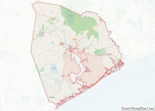
Online Interactive Map
Click on ![]() to view map in "full screen" mode.
to view map in "full screen" mode.
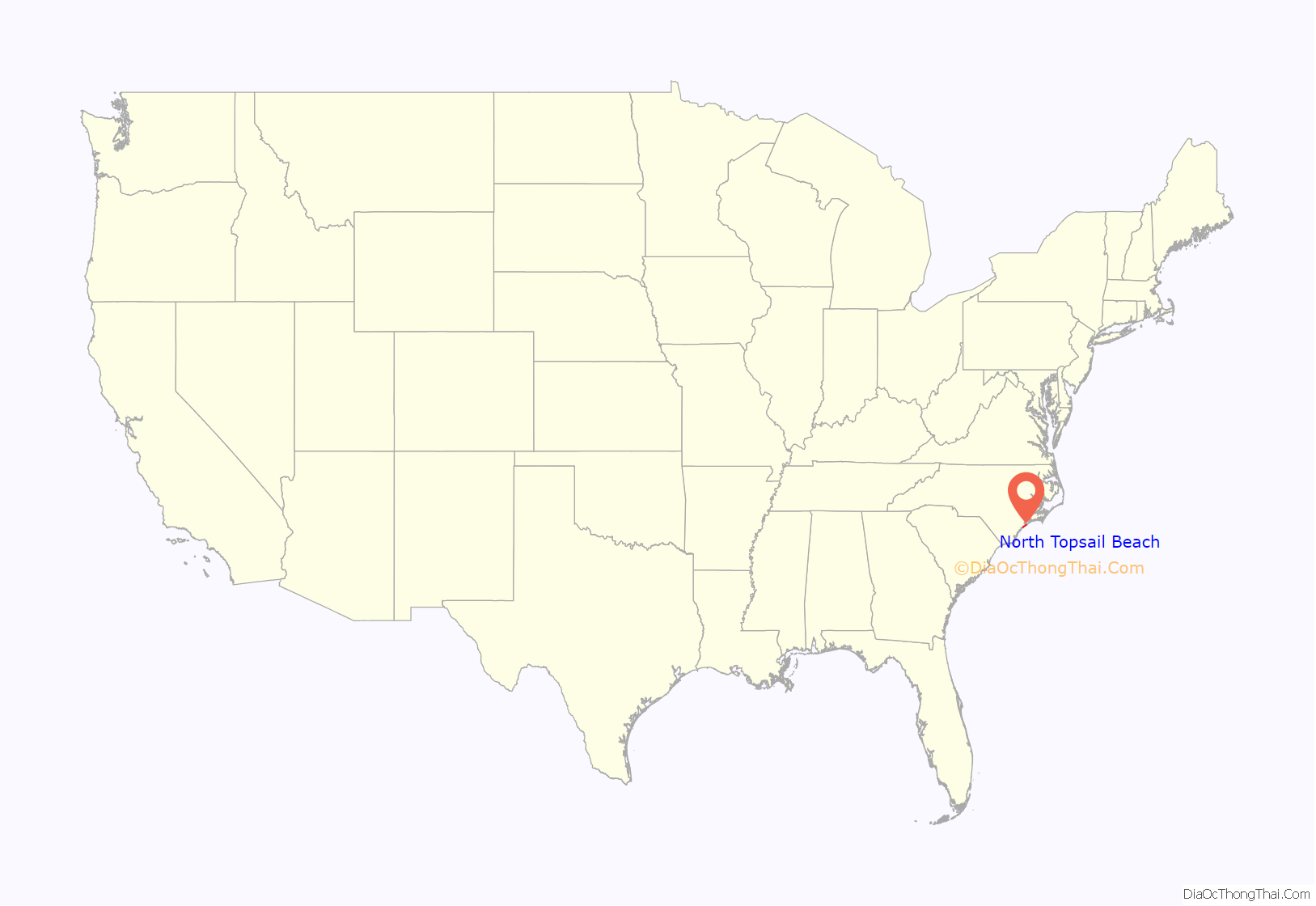
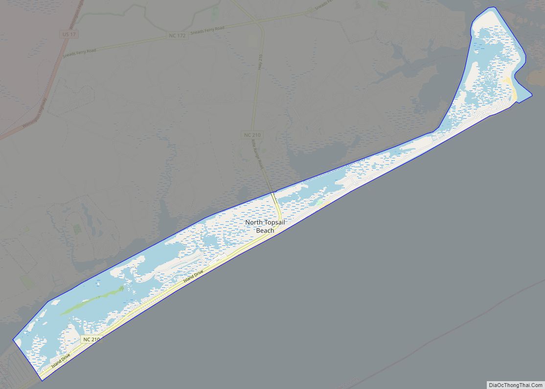
North Topsail Beach location map. Where is North Topsail Beach town?
History
In the 1940s Ocean City was the one place in the area where African Americans could vacation or buy property. The idea came from white attorney Edgar L. Yow, who owned land in the area and talked to Black physician Samuel Gray. Wade H. Chestnut, who along with wife Caronell owned the first home there, was a leader in the community’s development. In July 2022 a historical marker is planned which will be part of the state’s Civil Rights Trail.
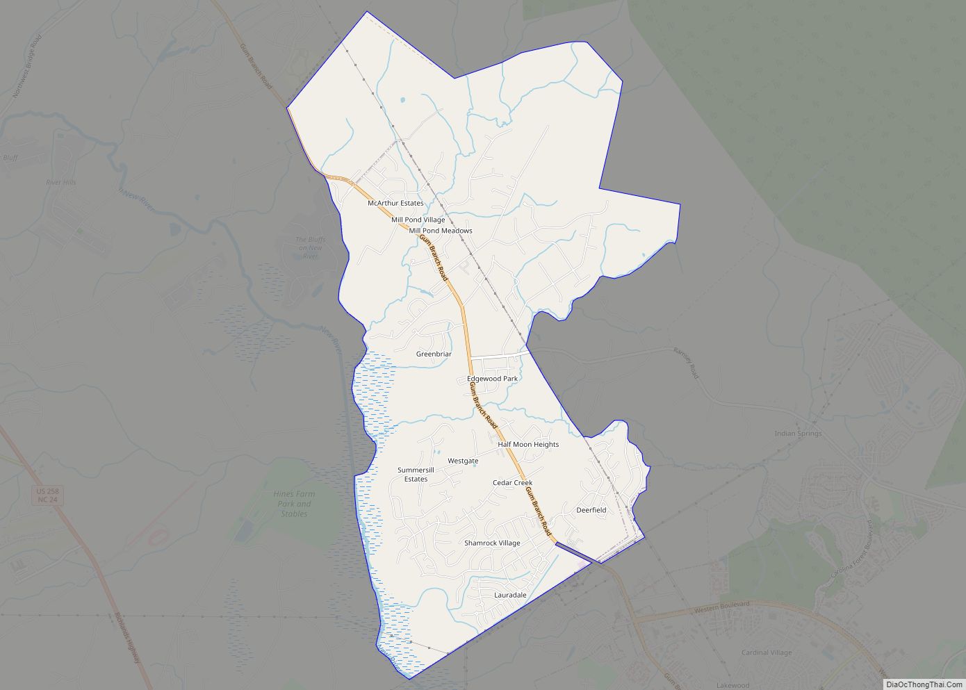
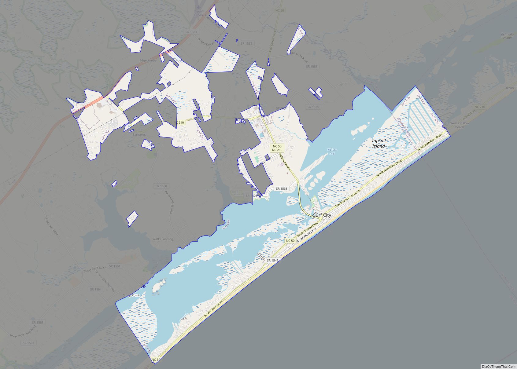
North Topsail Beach Road Map
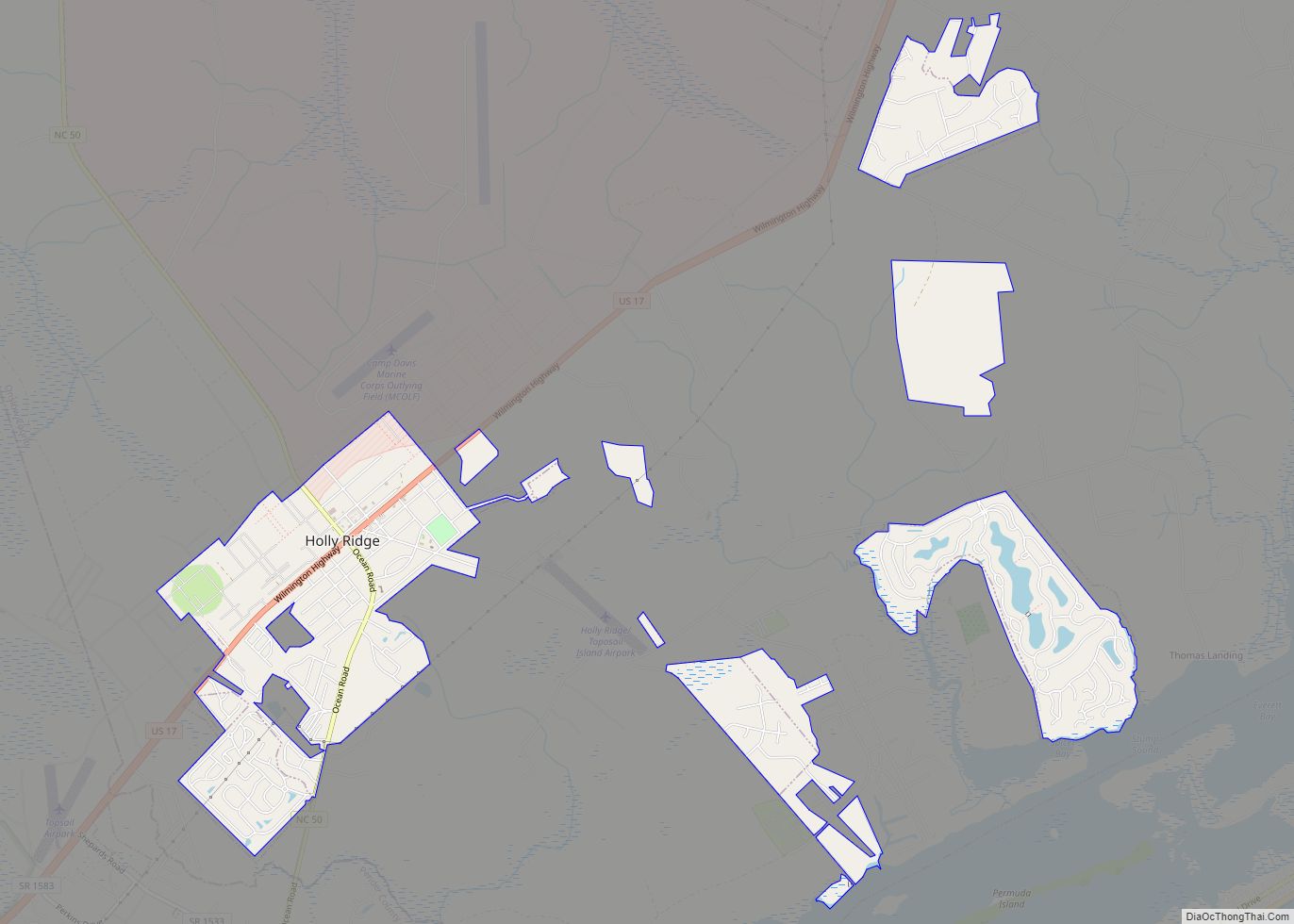
North Topsail Beach city Satellite Map
Geography
North Topsail Beach is located at 34°28′37″N 77°27′40″W / 34.47694°N 77.46111°W / 34.47694; -77.46111 (34.476925, -77.461091). According to the United States Census Bureau, the city has a total area of 10.6 square miles (27 km), of which 6.4 square miles (17 km) is land and 4.2 square miles (11 km) (39.32%) is water.
In 2012, North Topsail Reef condominium installed over 2,200 hydraulically filled sandbags in order to protect their property pending beach nourishment.
See also
Map of North Carolina State and its subdivision:- Alamance
- Alexander
- Alleghany
- Anson
- Ashe
- Avery
- Beaufort
- Bertie
- Bladen
- Brunswick
- Buncombe
- Burke
- Cabarrus
- Caldwell
- Camden
- Carteret
- Caswell
- Catawba
- Chatham
- Cherokee
- Chowan
- Clay
- Cleveland
- Columbus
- Craven
- Cumberland
- Currituck
- Dare
- Davidson
- Davie
- Duplin
- Durham
- Edgecombe
- Forsyth
- Franklin
- Gaston
- Gates
- Graham
- Granville
- Greene
- Guilford
- Halifax
- Harnett
- Haywood
- Henderson
- Hertford
- Hoke
- Hyde
- Iredell
- Jackson
- Johnston
- Jones
- Lee
- Lenoir
- Lincoln
- Macon
- Madison
- Martin
- McDowell
- Mecklenburg
- Mitchell
- Montgomery
- Moore
- Nash
- New Hanover
- Northampton
- Onslow
- Orange
- Pamlico
- Pasquotank
- Pender
- Perquimans
- Person
- Pitt
- Polk
- Randolph
- Richmond
- Robeson
- Rockingham
- Rowan
- Rutherford
- Sampson
- Scotland
- Stanly
- Stokes
- Surry
- Swain
- Transylvania
- Tyrrell
- Union
- Vance
- Wake
- Warren
- Washington
- Watauga
- Wayne
- Wilkes
- Wilson
- Yadkin
- Yancey
- Alabama
- Alaska
- Arizona
- Arkansas
- California
- Colorado
- Connecticut
- Delaware
- District of Columbia
- Florida
- Georgia
- Hawaii
- Idaho
- Illinois
- Indiana
- Iowa
- Kansas
- Kentucky
- Louisiana
- Maine
- Maryland
- Massachusetts
- Michigan
- Minnesota
- Mississippi
- Missouri
- Montana
- Nebraska
- Nevada
- New Hampshire
- New Jersey
- New Mexico
- New York
- North Carolina
- North Dakota
- Ohio
- Oklahoma
- Oregon
- Pennsylvania
- Rhode Island
- South Carolina
- South Dakota
- Tennessee
- Texas
- Utah
- Vermont
- Virginia
- Washington
- West Virginia
- Wisconsin
- Wyoming
