Princeton is a town in Johnston County, North Carolina, United States. As of the 2010 census it had a population of 1,194. Each May the town celebrates Princeton Community Day, a festival dedicated to promoting community involvement and town pride. The town holds municipal elections in November in odd-number years to elect its mayor and town council.
| Name: | Princeton town |
|---|---|
| LSAD Code: | 43 |
| LSAD Description: | town (suffix) |
| State: | North Carolina |
| County: | Johnston County |
| Elevation: | 151 ft (46 m) |
| Total Area: | 1.16 sq mi (3.00 km²) |
| Land Area: | 1.16 sq mi (3.00 km²) |
| Water Area: | 0.00 sq mi (0.00 km²) |
| Total Population: | 1,315 |
| Population Density: | 1,134.60/sq mi (438.05/km²) |
| ZIP code: | 27569 |
| Area code: | 919 |
| FIPS code: | 3753820 |
| GNISfeature ID: | 1022084 |
| Website: | www.myprincetonnc.com |
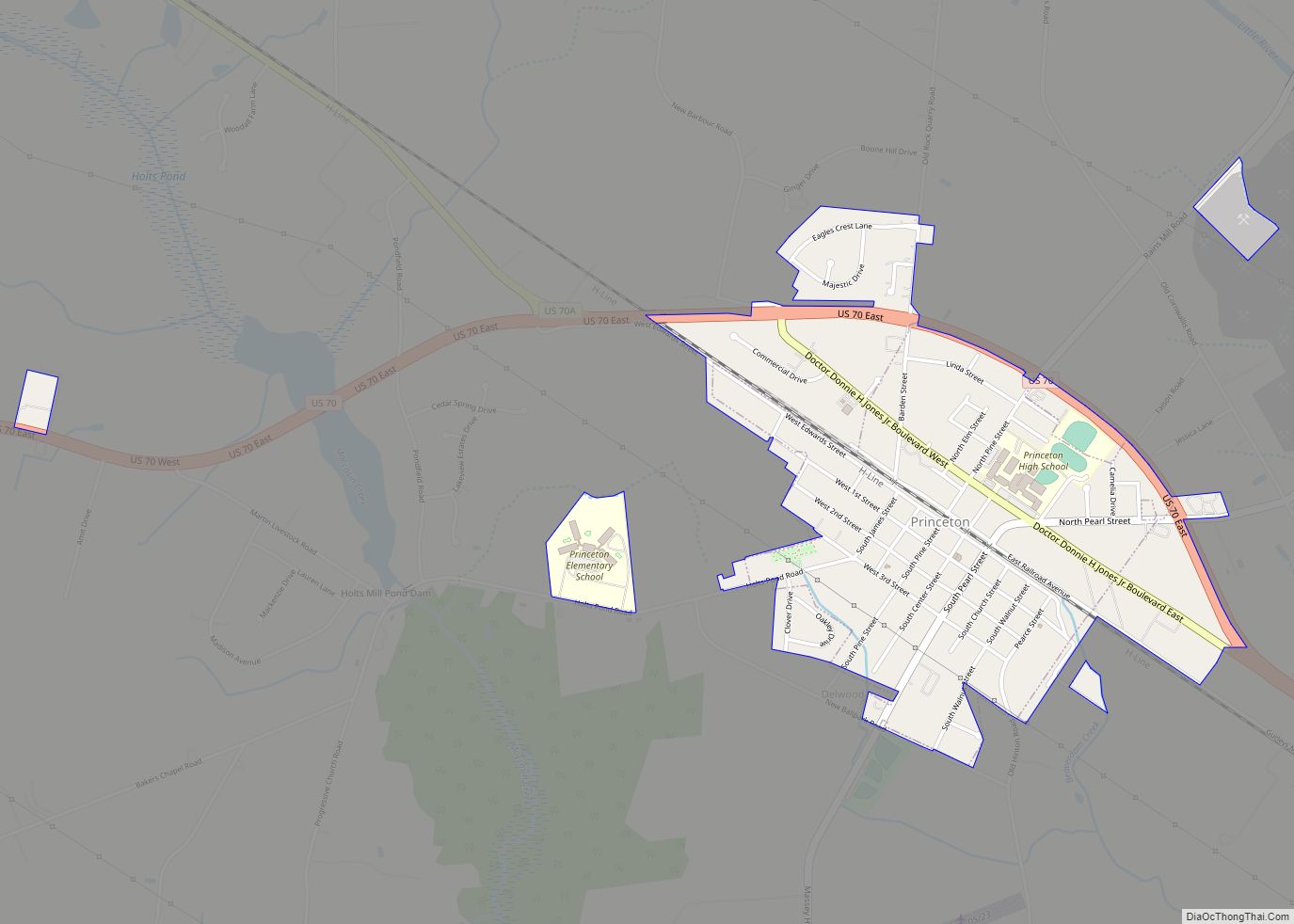
Online Interactive Map
Click on ![]() to view map in "full screen" mode.
to view map in "full screen" mode.
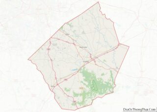
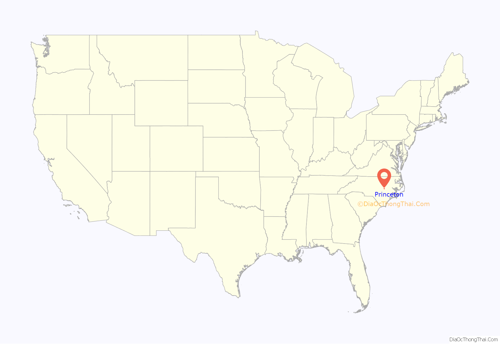
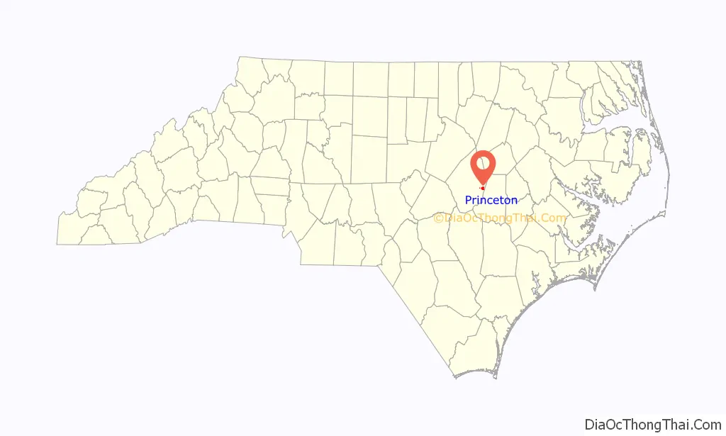
Princeton location map. Where is Princeton town?
History
Princeton was incorporated as the town of Boon Hill in 1861, named in homage to the nearby Boon family plantation. It was renamed Princeton in 1873. In 1914 the Gurley Mill was constructed as a corn and feed mill. By 2020 it was the oldest structure in Princeton, until it burned down in November. The Princeton Graded School is listed on the National Register of Historic Places.
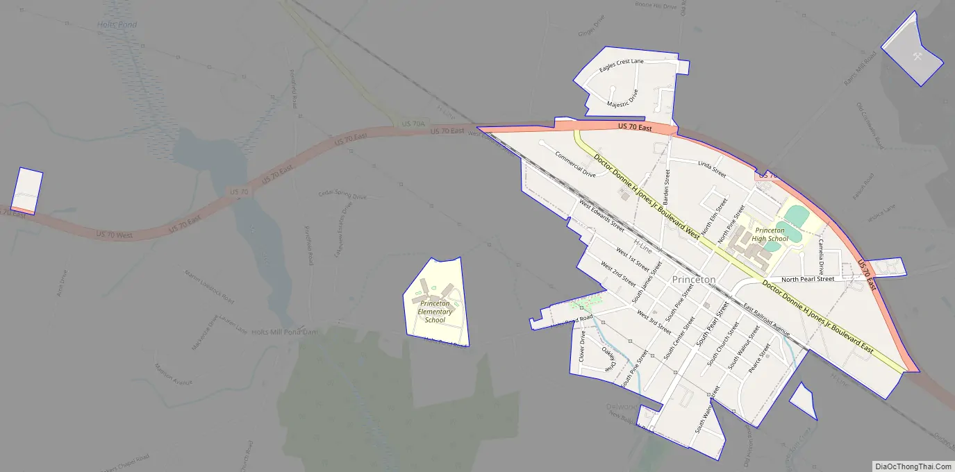
Princeton Road Map
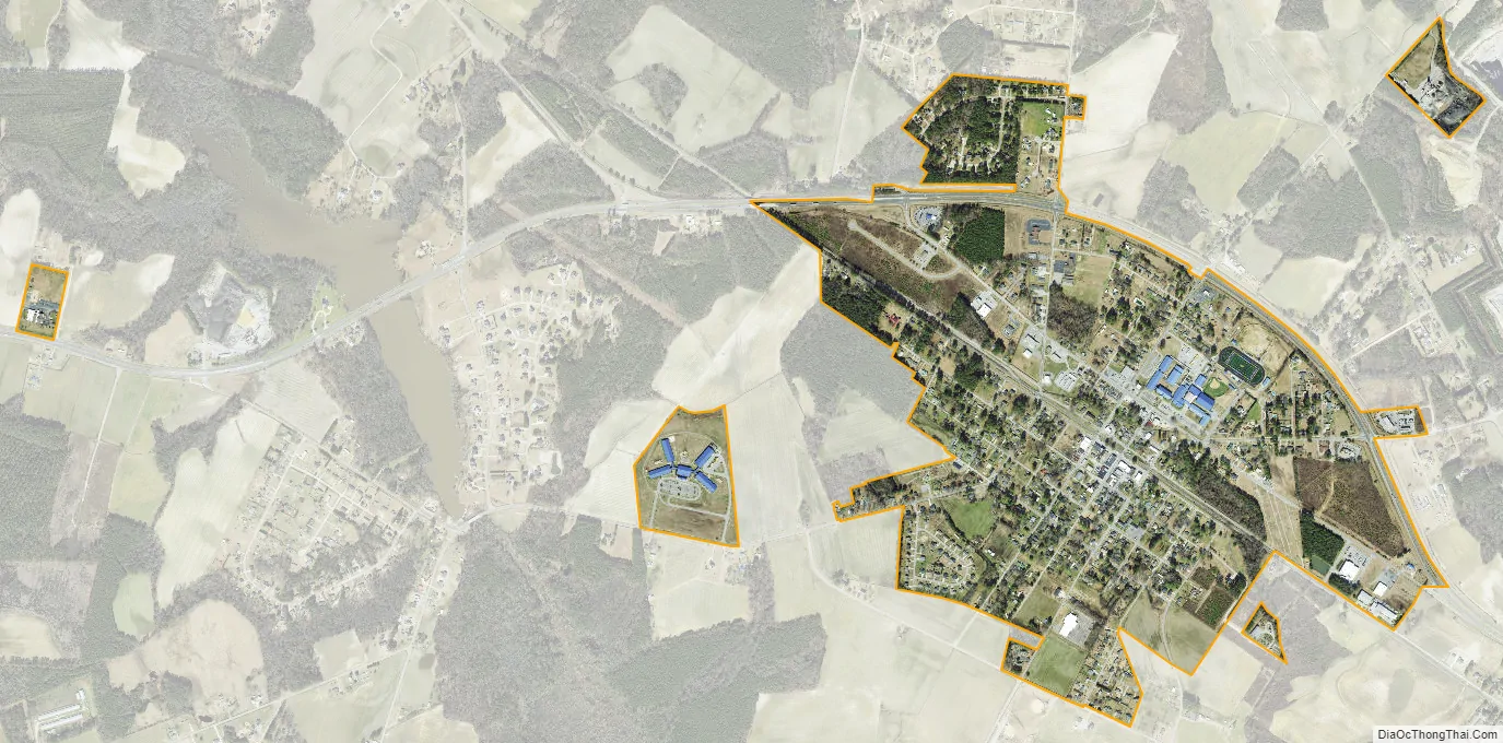
Princeton city Satellite Map
Geography
Princeton is in eastern Johnston County at 35°27′55″N 78°9′37″W / 35.46528°N 78.16028°W / 35.46528; -78.16028 (35.465236, -78.160414). It rests at 152 feet above sea-level. U.S. Route 70 runs along the northern edge of the town, leading northwest 9 miles (14 km) to Interstate 95 near Selma and southeast 11 miles (18 km) to Goldsboro.
According to the United States Census Bureau, the town has a total area of 1.0 square mile (2.7 km), all land.
See also
Map of North Carolina State and its subdivision:- Alamance
- Alexander
- Alleghany
- Anson
- Ashe
- Avery
- Beaufort
- Bertie
- Bladen
- Brunswick
- Buncombe
- Burke
- Cabarrus
- Caldwell
- Camden
- Carteret
- Caswell
- Catawba
- Chatham
- Cherokee
- Chowan
- Clay
- Cleveland
- Columbus
- Craven
- Cumberland
- Currituck
- Dare
- Davidson
- Davie
- Duplin
- Durham
- Edgecombe
- Forsyth
- Franklin
- Gaston
- Gates
- Graham
- Granville
- Greene
- Guilford
- Halifax
- Harnett
- Haywood
- Henderson
- Hertford
- Hoke
- Hyde
- Iredell
- Jackson
- Johnston
- Jones
- Lee
- Lenoir
- Lincoln
- Macon
- Madison
- Martin
- McDowell
- Mecklenburg
- Mitchell
- Montgomery
- Moore
- Nash
- New Hanover
- Northampton
- Onslow
- Orange
- Pamlico
- Pasquotank
- Pender
- Perquimans
- Person
- Pitt
- Polk
- Randolph
- Richmond
- Robeson
- Rockingham
- Rowan
- Rutherford
- Sampson
- Scotland
- Stanly
- Stokes
- Surry
- Swain
- Transylvania
- Tyrrell
- Union
- Vance
- Wake
- Warren
- Washington
- Watauga
- Wayne
- Wilkes
- Wilson
- Yadkin
- Yancey
- Alabama
- Alaska
- Arizona
- Arkansas
- California
- Colorado
- Connecticut
- Delaware
- District of Columbia
- Florida
- Georgia
- Hawaii
- Idaho
- Illinois
- Indiana
- Iowa
- Kansas
- Kentucky
- Louisiana
- Maine
- Maryland
- Massachusetts
- Michigan
- Minnesota
- Mississippi
- Missouri
- Montana
- Nebraska
- Nevada
- New Hampshire
- New Jersey
- New Mexico
- New York
- North Carolina
- North Dakota
- Ohio
- Oklahoma
- Oregon
- Pennsylvania
- Rhode Island
- South Carolina
- South Dakota
- Tennessee
- Texas
- Utah
- Vermont
- Virginia
- Washington
- West Virginia
- Wisconsin
- Wyoming