Rodanthe (/roʊˈdænθ/ roh-DAN-th) is an unincorporated community and census-designated place (CDP) located in Dare County, North Carolina, United States, on Hatteras Island, part of North Carolina’s Outer Banks. As of the 2020 census it had a population of 213. Rodanthe, along with Waves and Salvo, are part of the settlement of Chicamacomico. Rodanthe includes the original Chicamacomico Life-Saving Station, decommissioned in 1954, but now a museum.
Rodanthe is served by North Carolina Highway 12, which runs north–south through town. The Chicamacomico area is bordered to the north by Pea Island National Wildlife Refuge and to the south by Cape Hatteras National Seashore, a situation which limits potential growth. The town is bordered by the Atlantic Ocean to the east and Pamlico Sound to the west.
Rodanthe is the easternmost point of North Carolina. It is famous for its observation of “Old Christmas” on January 6, formerly Christmas, December 25, by the Julian Calendar, a custom held over from the original settlers who still used the “Old Style” calendar. A mythical beast, “Old Buck”—possibly related to Belsnickel or Krampus who are companions of Saint Nicholas in Christmas festivities—is said to appear at the celebration.
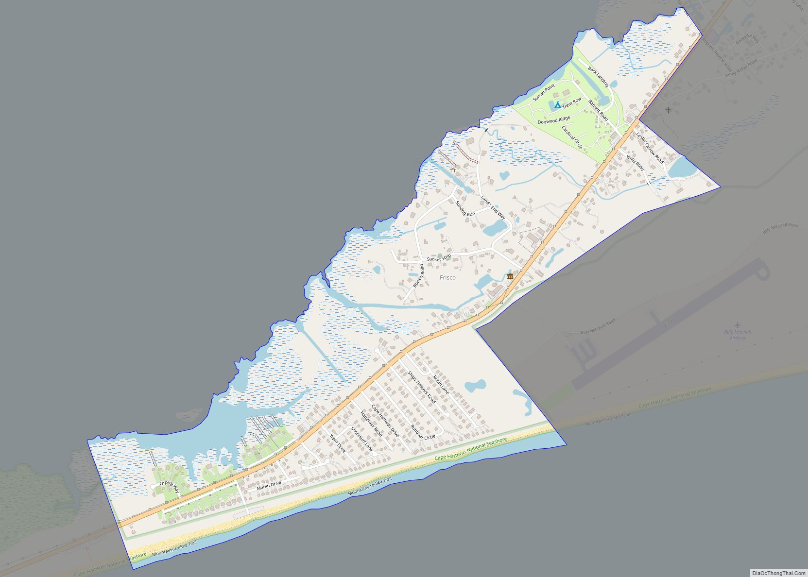
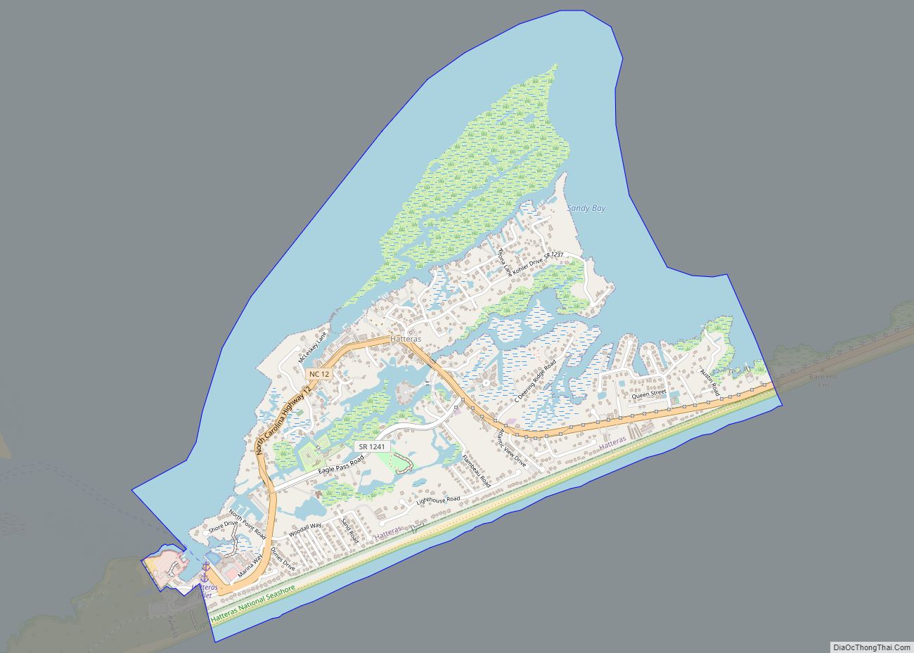
The residents of Rodanthe are governed by the Dare County Board of Commissioners. Rodanthe is part of District 4, along with Avon, Buxton, Frisco, Hatteras, Waves and Salvo.
The Chicamacomico Life Saving Station and Oregon Inlet Station are listed on the National Register of Historic Places.
| Name: | Rodanthe CDP |
|---|---|
| LSAD Code: | 57 |
| LSAD Description: | CDP (suffix) |
| State: | North Carolina |
| County: | Dare County |
| Elevation: | 5 ft (2 m) |
| Total Area: | 0.96 sq mi (2.48 km²) |
| Land Area: | 0.96 sq mi (2.48 km²) |
| Water Area: | 0.00 sq mi (0.00 km²) |
| Total Population: | 213 |
| Population Density: | 222.80/sq mi (86.02/km²) |
| ZIP code: | 27968 |
| Area code: | 252 |
| FIPS code: | 3757580 |
| GNISfeature ID: | 1022381 |
Online Interactive Map
Click on ![]() to view map in "full screen" mode.
to view map in "full screen" mode.
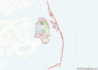
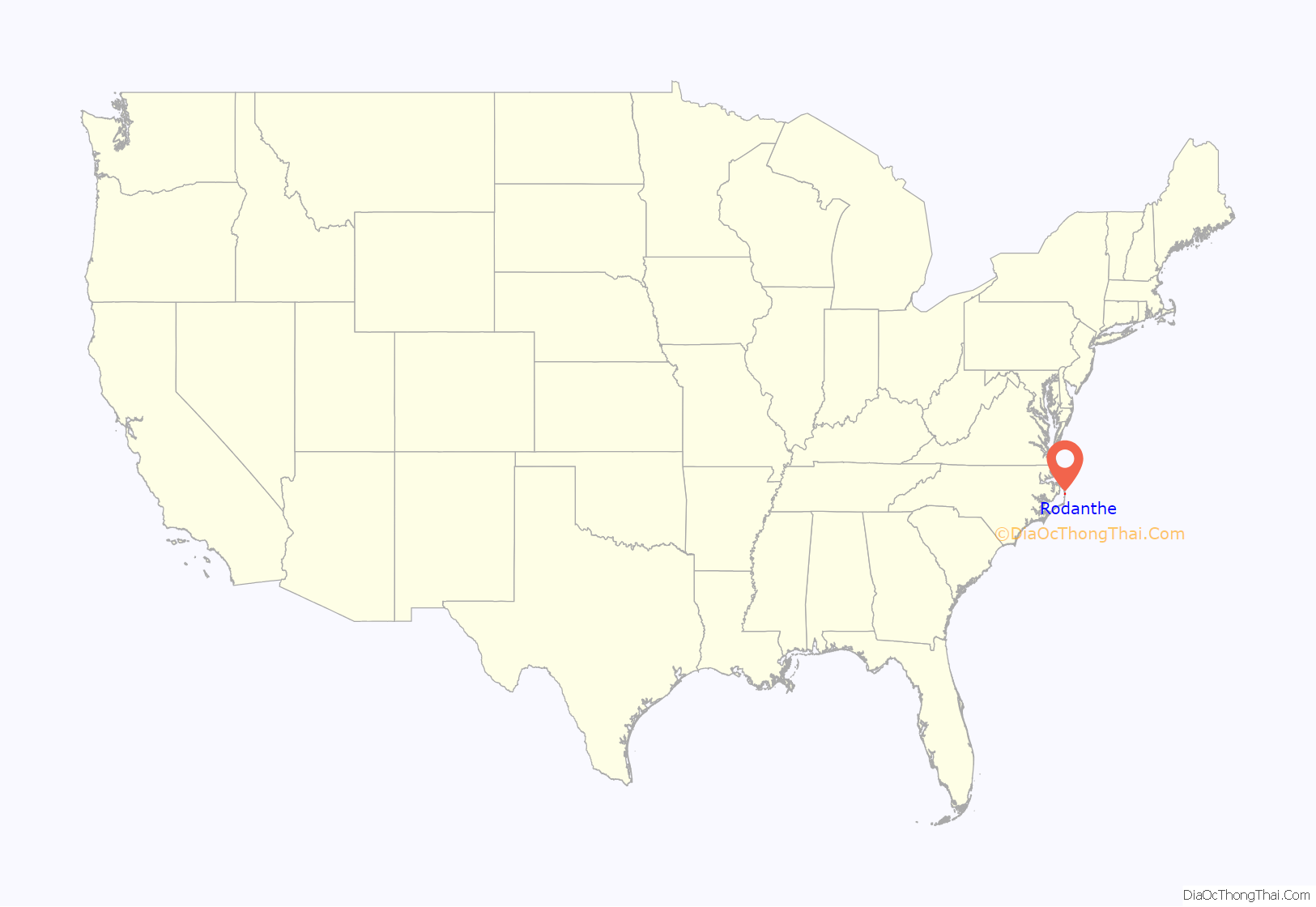
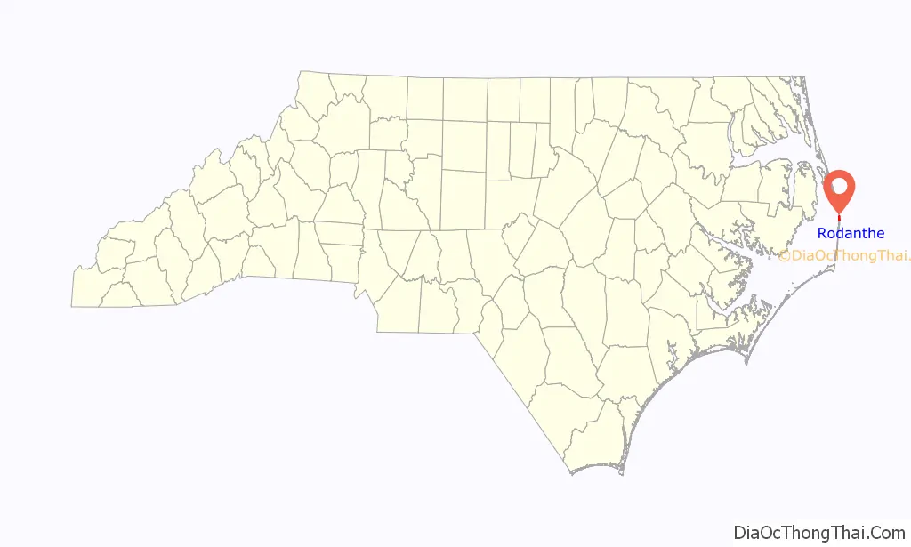
Rodanthe location map. Where is Rodanthe CDP?
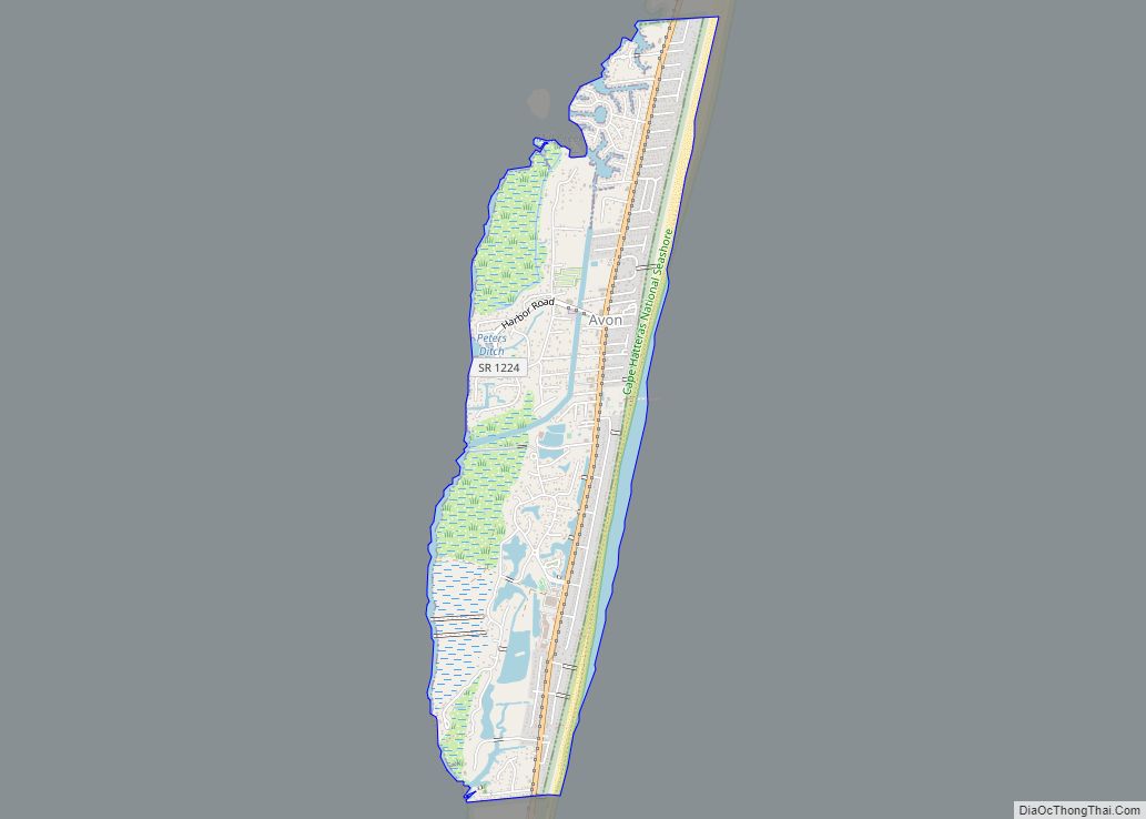
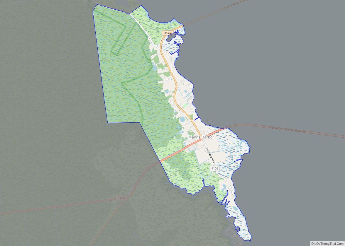
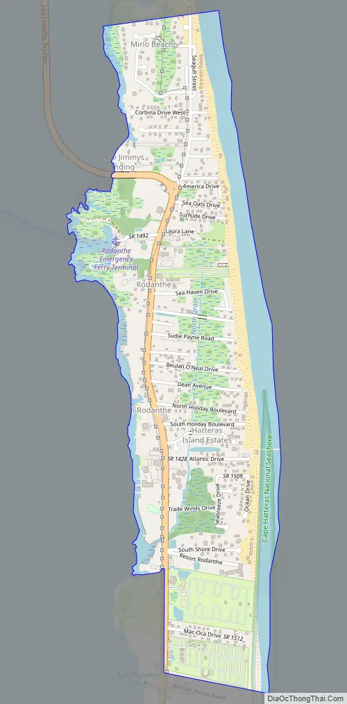
Rodanthe Road Map
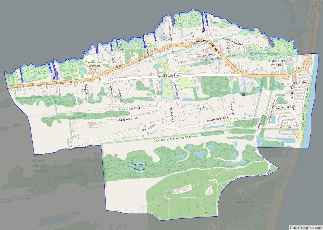
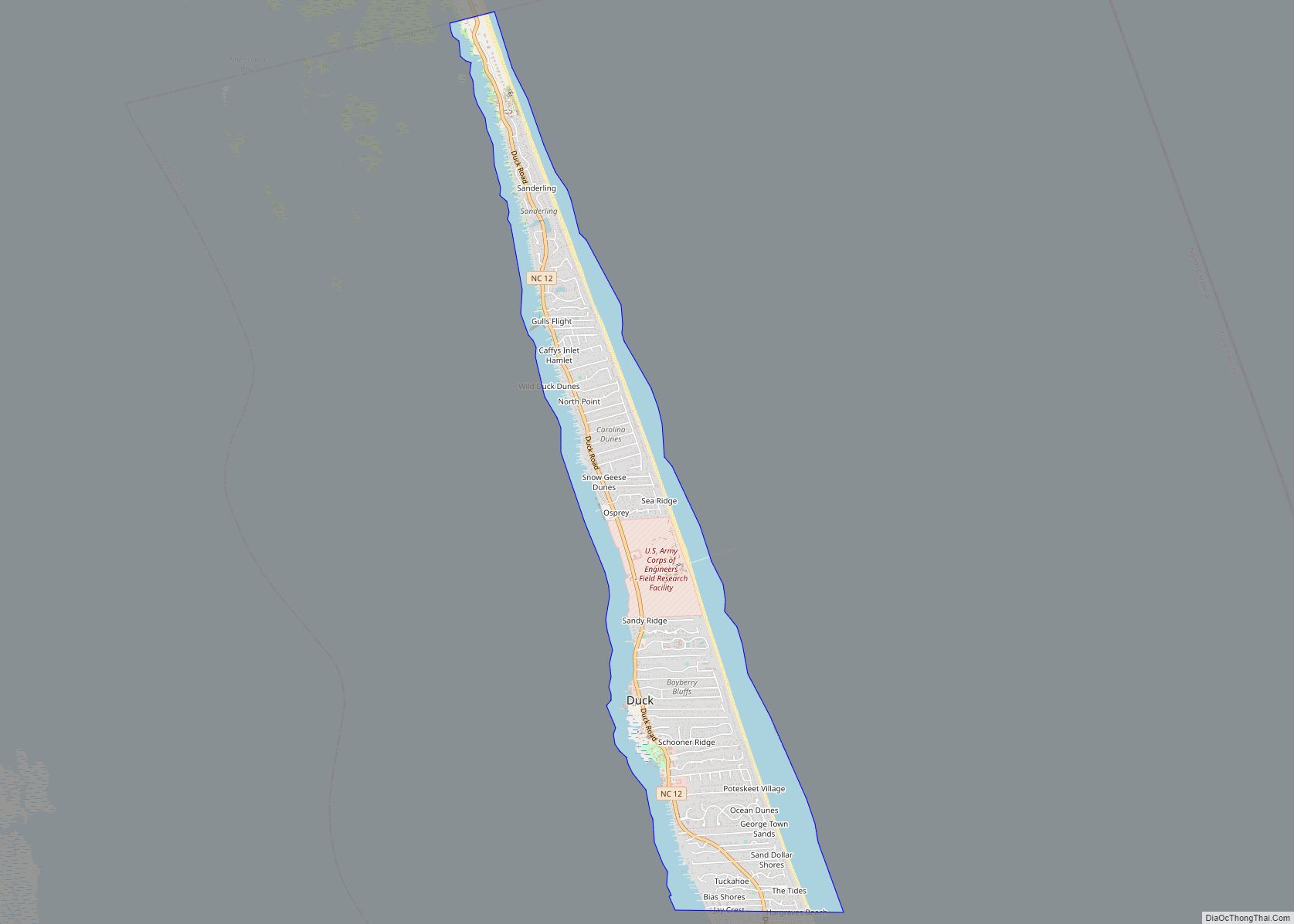
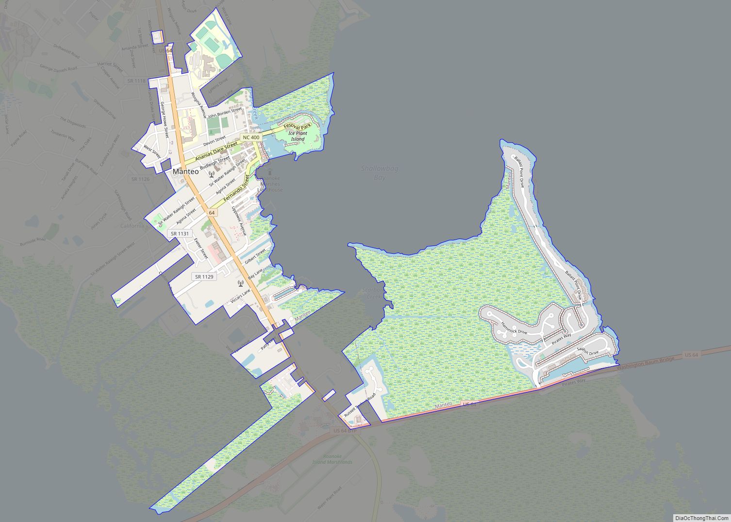
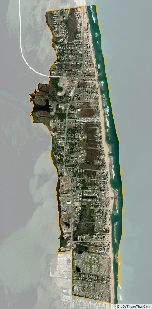
Rodanthe city Satellite Map
See also
Map of North Carolina State and its subdivision:- Alamance
- Alexander
- Alleghany
- Anson
- Ashe
- Avery
- Beaufort
- Bertie
- Bladen
- Brunswick
- Buncombe
- Burke
- Cabarrus
- Caldwell
- Camden
- Carteret
- Caswell
- Catawba
- Chatham
- Cherokee
- Chowan
- Clay
- Cleveland
- Columbus
- Craven
- Cumberland
- Currituck
- Dare
- Davidson
- Davie
- Duplin
- Durham
- Edgecombe
- Forsyth
- Franklin
- Gaston
- Gates
- Graham
- Granville
- Greene
- Guilford
- Halifax
- Harnett
- Haywood
- Henderson
- Hertford
- Hoke
- Hyde
- Iredell
- Jackson
- Johnston
- Jones
- Lee
- Lenoir
- Lincoln
- Macon
- Madison
- Martin
- McDowell
- Mecklenburg
- Mitchell
- Montgomery
- Moore
- Nash
- New Hanover
- Northampton
- Onslow
- Orange
- Pamlico
- Pasquotank
- Pender
- Perquimans
- Person
- Pitt
- Polk
- Randolph
- Richmond
- Robeson
- Rockingham
- Rowan
- Rutherford
- Sampson
- Scotland
- Stanly
- Stokes
- Surry
- Swain
- Transylvania
- Tyrrell
- Union
- Vance
- Wake
- Warren
- Washington
- Watauga
- Wayne
- Wilkes
- Wilson
- Yadkin
- Yancey
- Alabama
- Alaska
- Arizona
- Arkansas
- California
- Colorado
- Connecticut
- Delaware
- District of Columbia
- Florida
- Georgia
- Hawaii
- Idaho
- Illinois
- Indiana
- Iowa
- Kansas
- Kentucky
- Louisiana
- Maine
- Maryland
- Massachusetts
- Michigan
- Minnesota
- Mississippi
- Missouri
- Montana
- Nebraska
- Nevada
- New Hampshire
- New Jersey
- New Mexico
- New York
- North Carolina
- North Dakota
- Ohio
- Oklahoma
- Oregon
- Pennsylvania
- Rhode Island
- South Carolina
- South Dakota
- Tennessee
- Texas
- Utah
- Vermont
- Virginia
- Washington
- West Virginia
- Wisconsin
- Wyoming