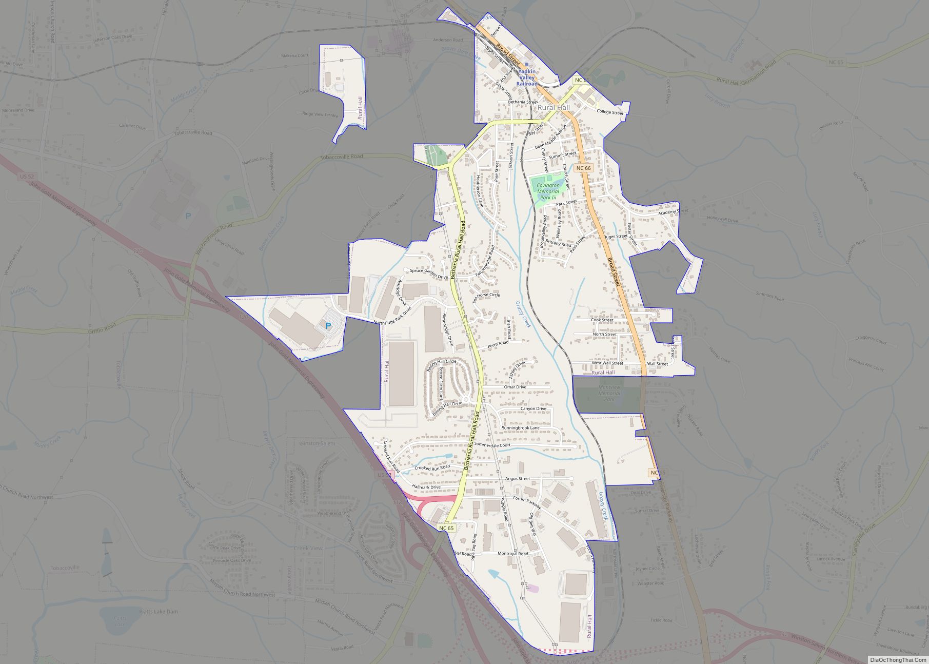
Rural Hall is a town in Forsyth County, North Carolina, United States. It is a part of the Piedmont Triad. The population was 3,360 at the 2020 census. The town has one public park: Covington Memorial Park.
| Name: | Rural Hall town |
|---|---|
| LSAD Code: | 43 |
| LSAD Description: | town (suffix) |
| State: | North Carolina |
| County: | Forsyth County |
| Elevation: | 1,011 ft (308 m) |
| Total Area: | 2.86 sq mi (7.41 km²) |
| Land Area: | 2.85 sq mi (7.39 km²) |
| Water Area: | 0.01 sq mi (0.02 km²) |
| Total Population: | 3,351 |
| Population Density: | 1,174.96/sq mi (453.70/km²) |
| ZIP code: | 27045 |
| Area code: | 336 |
| FIPS code: | 3758360 |
| GNISfeature ID: | 0993810 |
| Website: | www.ruralhall.com |
Online Interactive Map
Click on ![]() to view map in "full screen" mode.
to view map in "full screen" mode.
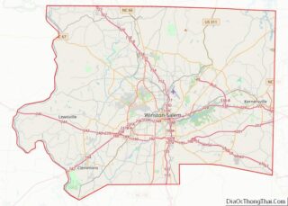
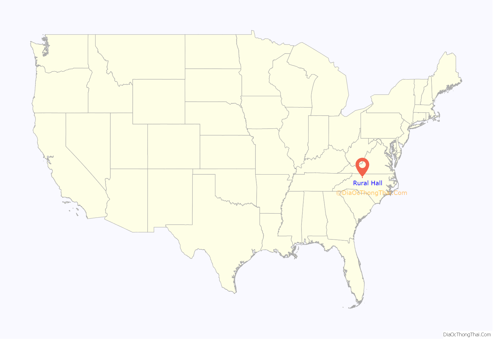
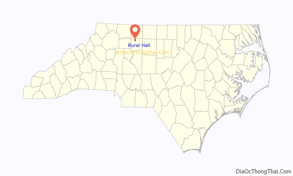
Rural Hall location map. Where is Rural Hall town?
History
The earliest settler was Anthony Bitting (1738-1804), who was born in Pennsylvania to a German American family. In the 1770s he moved from Bucks County to Maryland, then to southern Virginia. He supplied material to the Continental Army and may have participated in the battle of Guilford Court House. His descendants still live in the county. His grandson, Benjamin Lewis Bitting (1832-1922), built the house that gave Rural Hall its name.
Another early settler was Johann Adam Geiger (Kiger) who donated 102 acres (0.41 km) to the Nazareth Evangelical Lutheran Church, which still serves the community today. The town developed after the Cape Fear & Yadkin Valley Railroad erected a station in 1887.
Rural Hall now is the operational center of the Yadkin Valley Railroad, and many of the Yadkin Valley locomotives can be found idling there when not working.
The Rural Hall Depot was listed on the National Register of Historic Places in 1983.
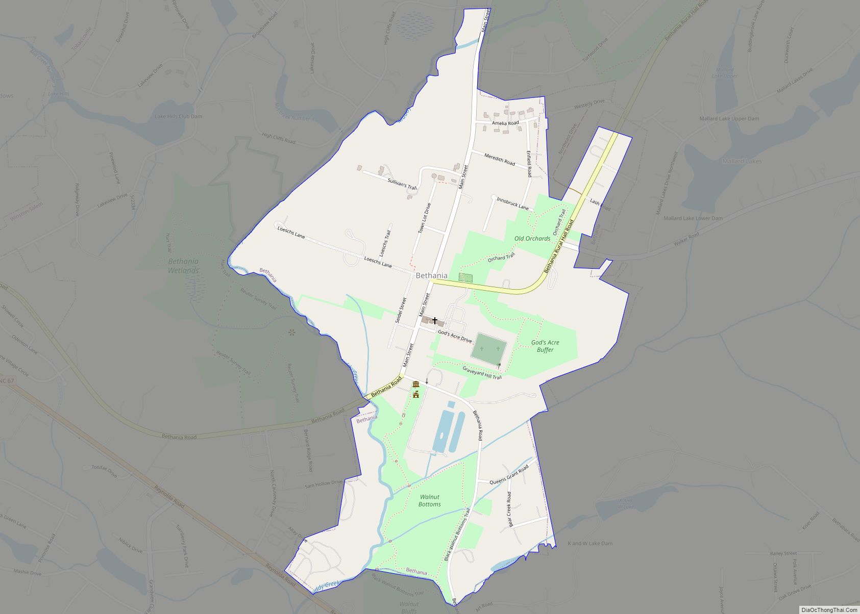
Rural Hall Road Map
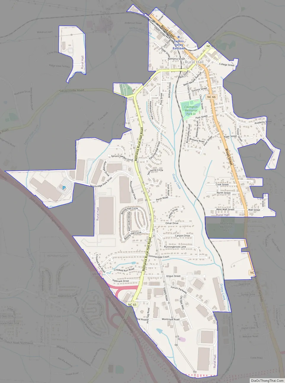
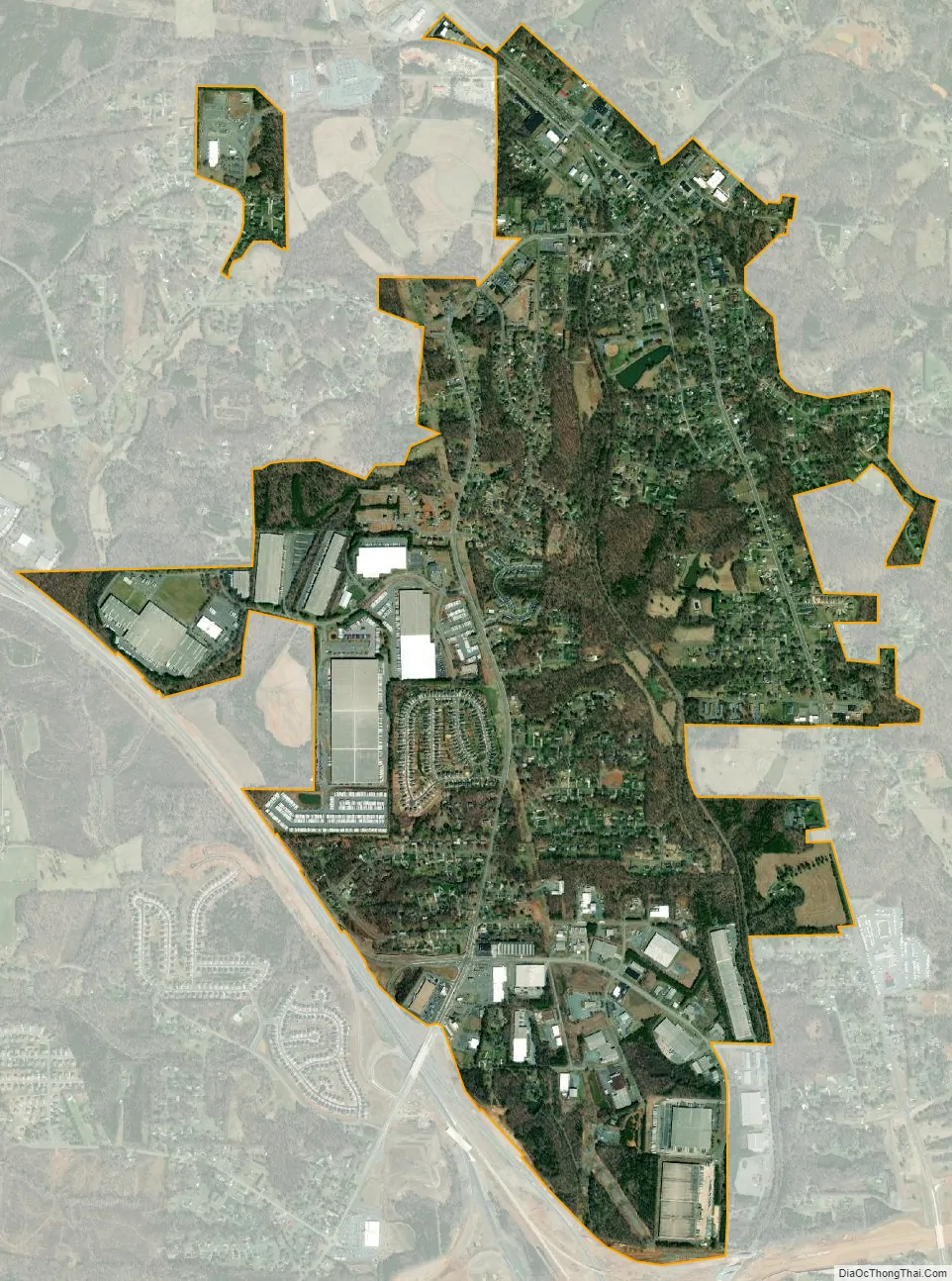
Rural Hall city Satellite Map
Geography
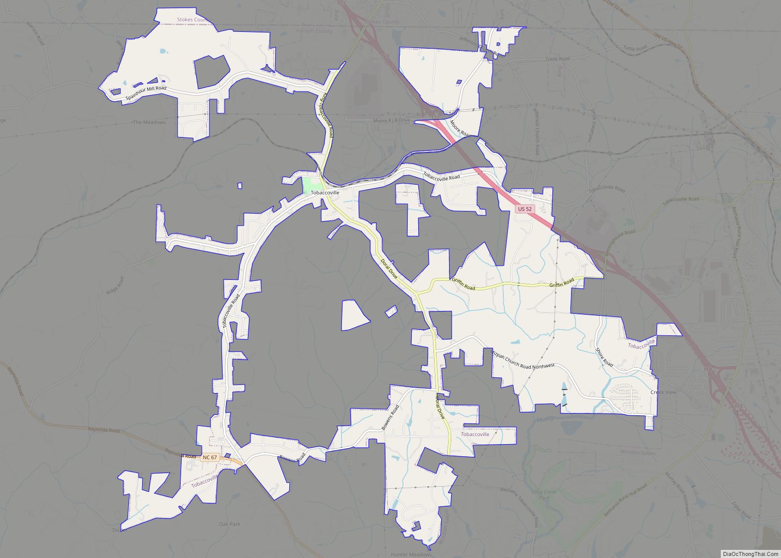
Rural Hall is located in northern Forsyth County at 36°13′56″N 80°17′37″W / 36.23222°N 80.29361°W / 36.23222; -80.29361 (36.232337, -80.293743). It is bordered to the south by the city of Winston-Salem, and the village of Tobaccoville is to the west. Downtown Winston-Salem is 12 miles (19 km) to the south via North Carolina Highway 66 and U.S. Route 52.
According to the United States Census Bureau, the town of Rural Hall has a total area of 2.9 square miles (7.4 km), of which 0.01 square miles (0.02 km), or 0.32%, is water.
See also
Map of North Carolina State and its subdivision:- Alamance
- Alexander
- Alleghany
- Anson
- Ashe
- Avery
- Beaufort
- Bertie
- Bladen
- Brunswick
- Buncombe
- Burke
- Cabarrus
- Caldwell
- Camden
- Carteret
- Caswell
- Catawba
- Chatham
- Cherokee
- Chowan
- Clay
- Cleveland
- Columbus
- Craven
- Cumberland
- Currituck
- Dare
- Davidson
- Davie
- Duplin
- Durham
- Edgecombe
- Forsyth
- Franklin
- Gaston
- Gates
- Graham
- Granville
- Greene
- Guilford
- Halifax
- Harnett
- Haywood
- Henderson
- Hertford
- Hoke
- Hyde
- Iredell
- Jackson
- Johnston
- Jones
- Lee
- Lenoir
- Lincoln
- Macon
- Madison
- Martin
- McDowell
- Mecklenburg
- Mitchell
- Montgomery
- Moore
- Nash
- New Hanover
- Northampton
- Onslow
- Orange
- Pamlico
- Pasquotank
- Pender
- Perquimans
- Person
- Pitt
- Polk
- Randolph
- Richmond
- Robeson
- Rockingham
- Rowan
- Rutherford
- Sampson
- Scotland
- Stanly
- Stokes
- Surry
- Swain
- Transylvania
- Tyrrell
- Union
- Vance
- Wake
- Warren
- Washington
- Watauga
- Wayne
- Wilkes
- Wilson
- Yadkin
- Yancey
- Alabama
- Alaska
- Arizona
- Arkansas
- California
- Colorado
- Connecticut
- Delaware
- District of Columbia
- Florida
- Georgia
- Hawaii
- Idaho
- Illinois
- Indiana
- Iowa
- Kansas
- Kentucky
- Louisiana
- Maine
- Maryland
- Massachusetts
- Michigan
- Minnesota
- Mississippi
- Missouri
- Montana
- Nebraska
- Nevada
- New Hampshire
- New Jersey
- New Mexico
- New York
- North Carolina
- North Dakota
- Ohio
- Oklahoma
- Oregon
- Pennsylvania
- Rhode Island
- South Carolina
- South Dakota
- Tennessee
- Texas
- Utah
- Vermont
- Virginia
- Washington
- West Virginia
- Wisconsin
- Wyoming