Seven Devils is a town in Avery and Watauga counties in the U.S. state of North Carolina. The population was 192 at the 2010 census. The town, which is located in the Appalachian Mountains, is best known as the site of a popular wintertime tubing resort known as Hawksnest, which claims it has the largest tubing facility on the East Coast, and some of the town’s year round residents earn their living at the resort. Many others are retirees. Developed in the 1970s as a vacation home community, Seven Devils is home mostly to seasonal residents.
| Name: | Seven Devils town |
|---|---|
| LSAD Code: | 43 |
| LSAD Description: | town (suffix) |
| State: | North Carolina |
| County: | Avery County, Watauga County |
| Incorporated: | 1979 |
| Elevation: | 3,944 ft (1,202 m) |
| Total Area: | 2.23 sq mi (5.78 km²) |
| Land Area: | 2.22 sq mi (5.74 km²) |
| Water Area: | 0.01 sq mi (0.04 km²) |
| Total Population: | 313 |
| Population Density: | 141.18/sq mi (54.51/km²) |
| ZIP code: | 28604 |
| Area code: | 828 |
| FIPS code: | 3760505 |
| GNISfeature ID: | 1023505 |
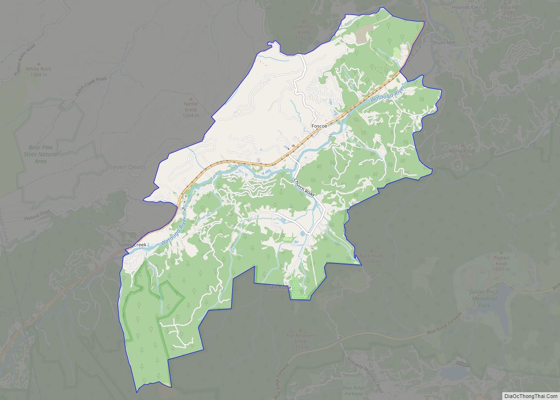
Online Interactive Map
Click on ![]() to view map in "full screen" mode.
to view map in "full screen" mode.
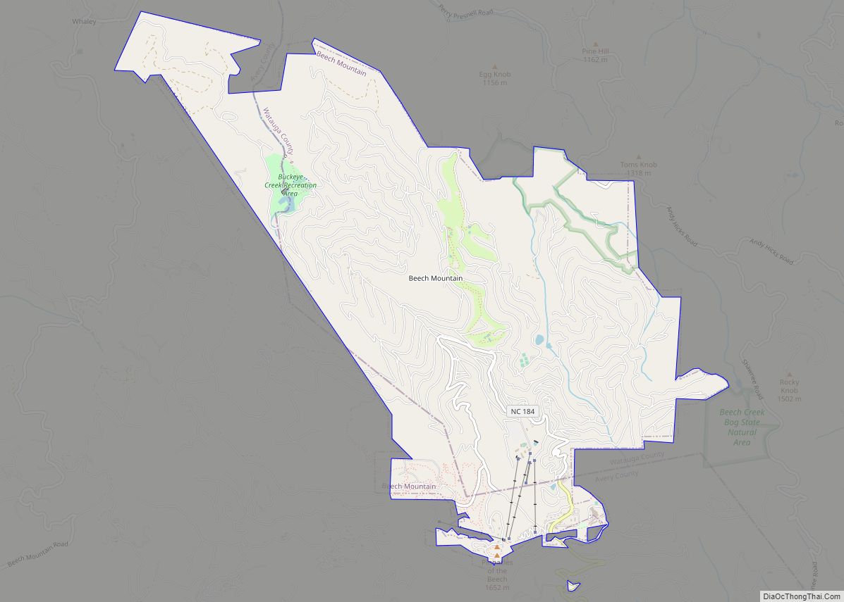
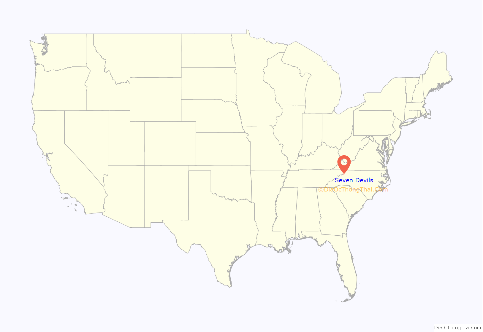
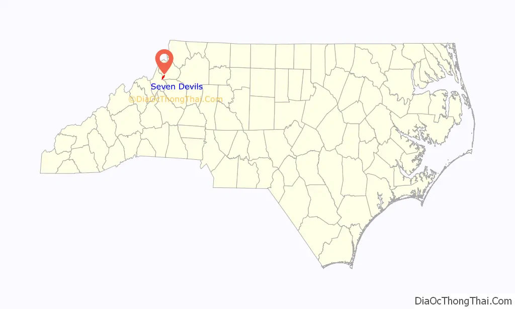
Seven Devils location map. Where is Seven Devils town?
History
In the mid-1960s, seven men from the Winston-Salem area established the unincorporated community of Seven Devils with the vision of creating a recreational resort. The seven founders included four brothers, Herbert Reynolds, Frank Reynolds, Galloway Reynolds and Dan Reynolds, and their partners George Kempton, Ray Smith and Gardner Gidley. They wanted a unique name to attract visitors and decided upon Seven Devils based on a combination of factors. There were seven founders and seven distinct peaks from the ridge line of the Blue Ridge Parkway that viewed the area, and locals often said that “the wind blows like the devil up there in the winter time.”
In its early days, Seven Devils featured a campground, swimming lake, horseback riding trails and stables, rental cottages and a general store. The Seven Devils Golf & Ski Resort opened in December 1968, attracting more visitors and residents. The town of Seven Devils was incorporated on June 30, 1979.
In the early 1980s, Jon Reynolds assumed ownership of the ski area and changed its name to Ski Hawksnest. The resort soon became a favorite among locals and college students, offering low ticket prices, a bar with live music, and a weekend night skiing session called “Nighthawk” that ran from 10pm to 4am. In 1993, Leonard Cottom, who owned the neighboring Hanging Rock Golf and Country Club, purchased the ski area, changing the name to Hawksnest Golf & Ski Resort. In 2008, under the ownership of Lenny Cottom, Hawksnest closed for skiing to focus on snow tubing and ziplining.
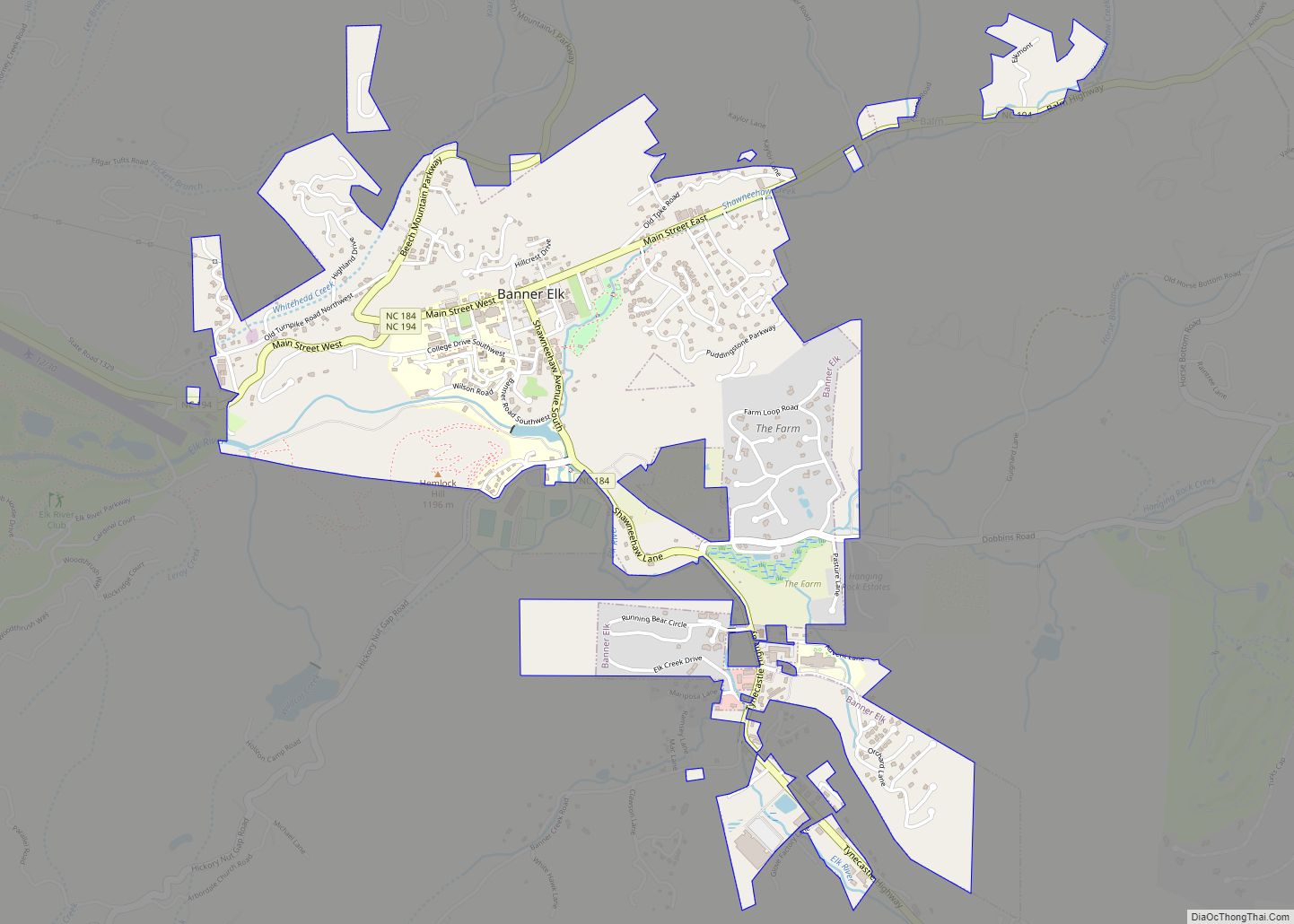
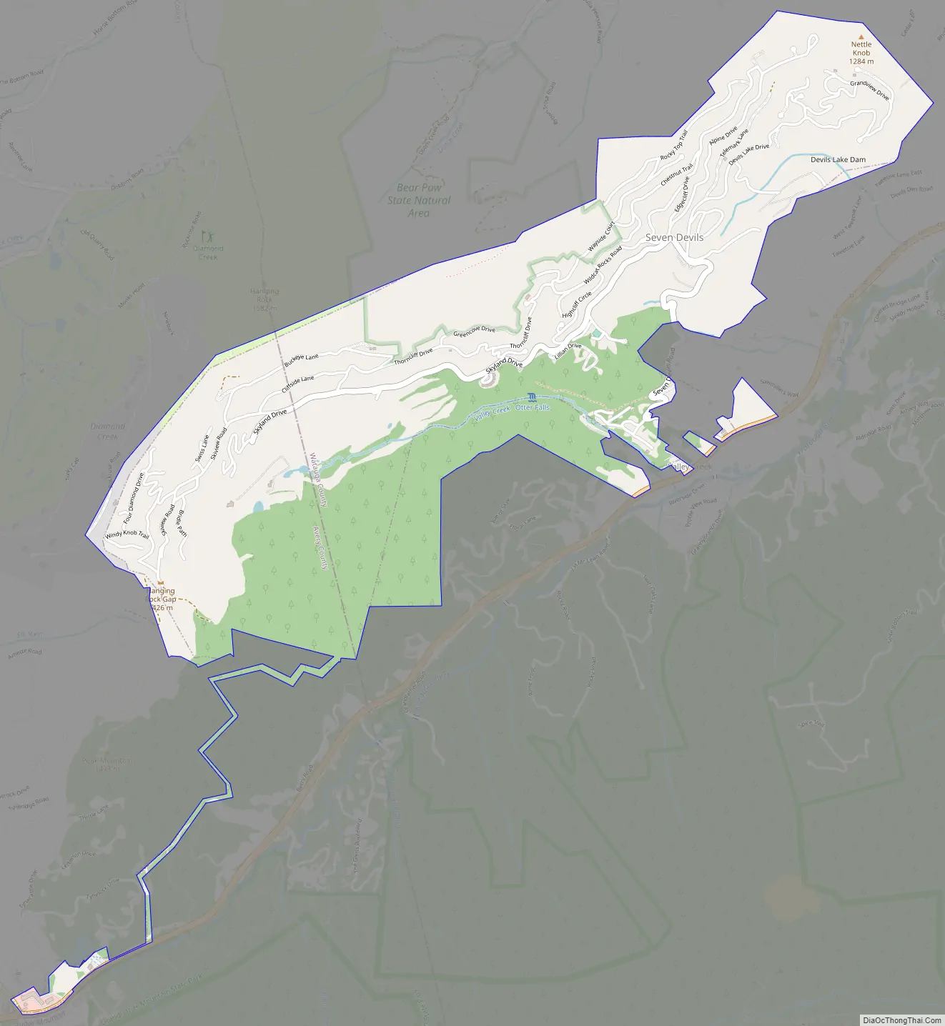
Seven Devils Road Map
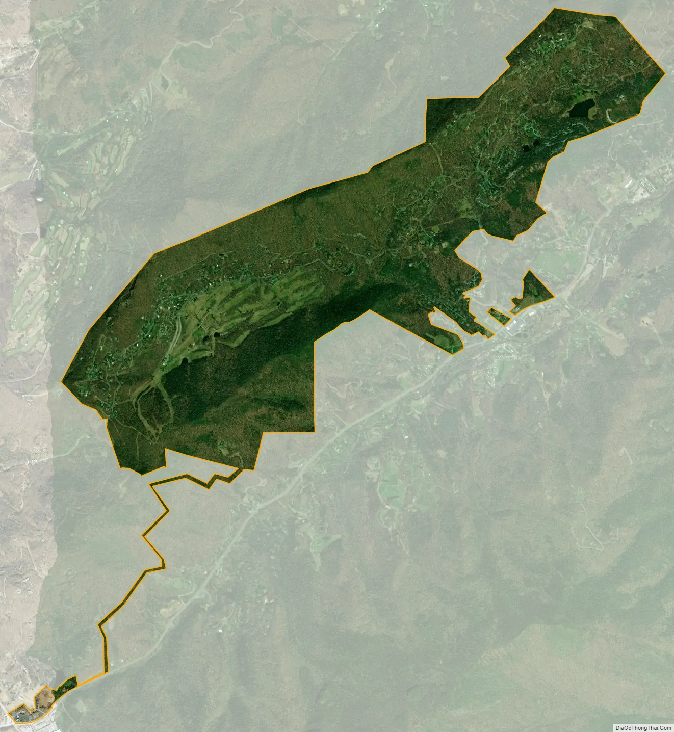
Seven Devils city Satellite Map
Geography
Seven Devils is located at 36°9′7″N 81°48′26″W / 36.15194°N 81.80722°W / 36.15194; -81.80722 (36.151961, -81.807305).
According to the United States Census Bureau, the town has a total area of 2.1 square miles (5.3 km), of which 2.0 square miles (5.3 km) is land and 0.49% is water.
See also
Map of North Carolina State and its subdivision:- Alamance
- Alexander
- Alleghany
- Anson
- Ashe
- Avery
- Beaufort
- Bertie
- Bladen
- Brunswick
- Buncombe
- Burke
- Cabarrus
- Caldwell
- Camden
- Carteret
- Caswell
- Catawba
- Chatham
- Cherokee
- Chowan
- Clay
- Cleveland
- Columbus
- Craven
- Cumberland
- Currituck
- Dare
- Davidson
- Davie
- Duplin
- Durham
- Edgecombe
- Forsyth
- Franklin
- Gaston
- Gates
- Graham
- Granville
- Greene
- Guilford
- Halifax
- Harnett
- Haywood
- Henderson
- Hertford
- Hoke
- Hyde
- Iredell
- Jackson
- Johnston
- Jones
- Lee
- Lenoir
- Lincoln
- Macon
- Madison
- Martin
- McDowell
- Mecklenburg
- Mitchell
- Montgomery
- Moore
- Nash
- New Hanover
- Northampton
- Onslow
- Orange
- Pamlico
- Pasquotank
- Pender
- Perquimans
- Person
- Pitt
- Polk
- Randolph
- Richmond
- Robeson
- Rockingham
- Rowan
- Rutherford
- Sampson
- Scotland
- Stanly
- Stokes
- Surry
- Swain
- Transylvania
- Tyrrell
- Union
- Vance
- Wake
- Warren
- Washington
- Watauga
- Wayne
- Wilkes
- Wilson
- Yadkin
- Yancey
- Alabama
- Alaska
- Arizona
- Arkansas
- California
- Colorado
- Connecticut
- Delaware
- District of Columbia
- Florida
- Georgia
- Hawaii
- Idaho
- Illinois
- Indiana
- Iowa
- Kansas
- Kentucky
- Louisiana
- Maine
- Maryland
- Massachusetts
- Michigan
- Minnesota
- Mississippi
- Missouri
- Montana
- Nebraska
- Nevada
- New Hampshire
- New Jersey
- New Mexico
- New York
- North Carolina
- North Dakota
- Ohio
- Oklahoma
- Oregon
- Pennsylvania
- Rhode Island
- South Carolina
- South Dakota
- Tennessee
- Texas
- Utah
- Vermont
- Virginia
- Washington
- West Virginia
- Wisconsin
- Wyoming