Troutman is a town in Iredell County, North Carolina, United States. The town is located roughly 35 miles (56 km) north of Charlotte. As of the 2020 census the town’s population was 3,698. Due to substantial residential growth in the area, as well as neighborhood annexation, the town is experiencing dramatic population growth. Approved residential developments, when completed, are forecast to increase town population to more than 11,000 residents.
| Name: | Troutman town |
|---|---|
| LSAD Code: | 43 |
| LSAD Description: | town (suffix) |
| State: | North Carolina |
| County: | Iredell County |
| Incorporated: | 1905 |
| Elevation: | 937 ft (286 m) |
| Total Area: | 6.56 sq mi (17.00 km²) |
| Land Area: | 6.55 sq mi (16.97 km²) |
| Water Area: | 0.01 sq mi (0.03 km²) |
| Total Population: | 3,698 |
| Population Density: | 564.32/sq mi (217.88/km²) |
| ZIP code: | 28166 |
| Area code: | 704 |
| FIPS code: | 3768500 |
| GNISfeature ID: | 0996270 |
| Website: | www.troutmannc.gov |
Online Interactive Map
Click on ![]() to view map in "full screen" mode.
to view map in "full screen" mode.
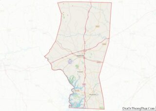
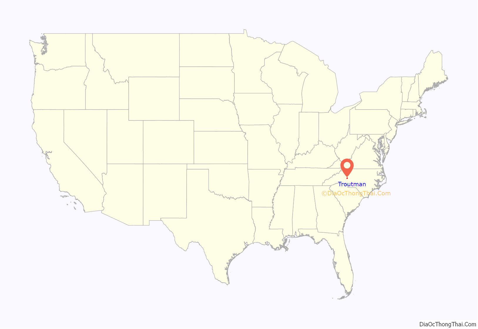
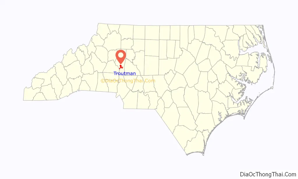
Troutman location map. Where is Troutman town?
History
The Davidson House was added to the National Register of Historic Places in 1980.
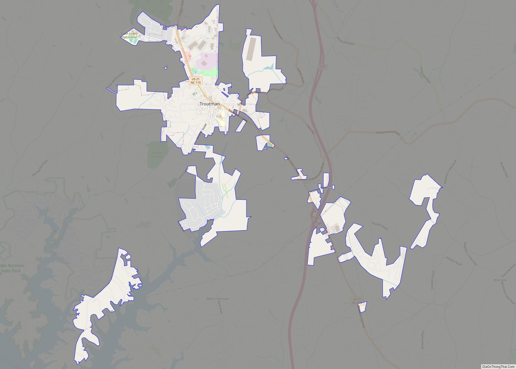
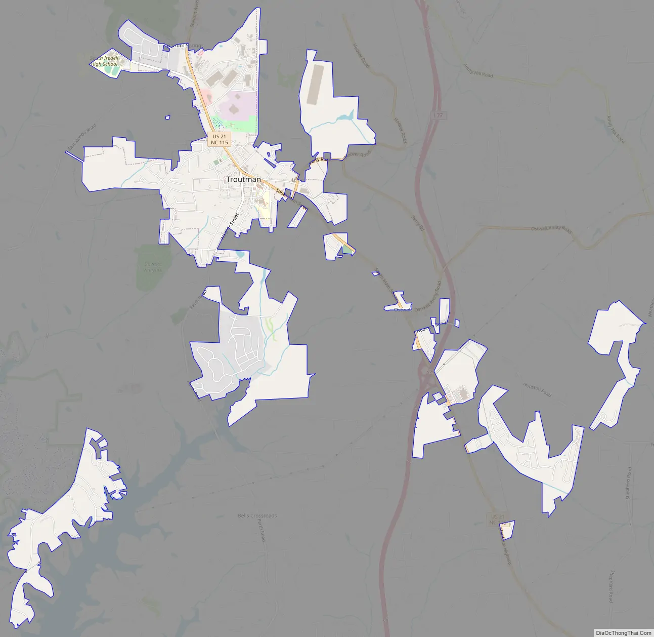
Troutman Road Map
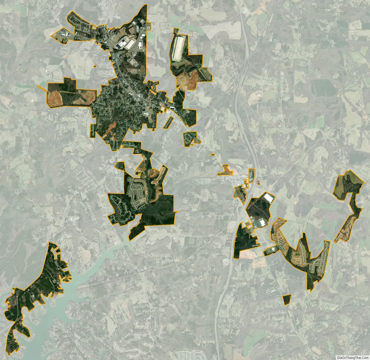
Troutman city Satellite Map
Geography
Troutman is located in south-central Iredell County at 35°42′11″N 80°53′32″W / 35.70306°N 80.89222°W / 35.70306; -80.89222 (35.703149, −80.892255). U.S. Route 21 passes through the center of the town, leading north 6 miles (10 km) to Statesville, the county seat, and south 10 miles (16 km) to Mooresville. Interstate 77 passes 3 miles (5 km) east of the town, with access from Exit 42.
According to the United States Census Bureau, the town has a total area of 5.4 square miles (13.9 km), of which 0.03 square miles (0.07 km), or 0.50%, are water.
See also
Map of North Carolina State and its subdivision:- Alamance
- Alexander
- Alleghany
- Anson
- Ashe
- Avery
- Beaufort
- Bertie
- Bladen
- Brunswick
- Buncombe
- Burke
- Cabarrus
- Caldwell
- Camden
- Carteret
- Caswell
- Catawba
- Chatham
- Cherokee
- Chowan
- Clay
- Cleveland
- Columbus
- Craven
- Cumberland
- Currituck
- Dare
- Davidson
- Davie
- Duplin
- Durham
- Edgecombe
- Forsyth
- Franklin
- Gaston
- Gates
- Graham
- Granville
- Greene
- Guilford
- Halifax
- Harnett
- Haywood
- Henderson
- Hertford
- Hoke
- Hyde
- Iredell
- Jackson
- Johnston
- Jones
- Lee
- Lenoir
- Lincoln
- Macon
- Madison
- Martin
- McDowell
- Mecklenburg
- Mitchell
- Montgomery
- Moore
- Nash
- New Hanover
- Northampton
- Onslow
- Orange
- Pamlico
- Pasquotank
- Pender
- Perquimans
- Person
- Pitt
- Polk
- Randolph
- Richmond
- Robeson
- Rockingham
- Rowan
- Rutherford
- Sampson
- Scotland
- Stanly
- Stokes
- Surry
- Swain
- Transylvania
- Tyrrell
- Union
- Vance
- Wake
- Warren
- Washington
- Watauga
- Wayne
- Wilkes
- Wilson
- Yadkin
- Yancey
- Alabama
- Alaska
- Arizona
- Arkansas
- California
- Colorado
- Connecticut
- Delaware
- District of Columbia
- Florida
- Georgia
- Hawaii
- Idaho
- Illinois
- Indiana
- Iowa
- Kansas
- Kentucky
- Louisiana
- Maine
- Maryland
- Massachusetts
- Michigan
- Minnesota
- Mississippi
- Missouri
- Montana
- Nebraska
- Nevada
- New Hampshire
- New Jersey
- New Mexico
- New York
- North Carolina
- North Dakota
- Ohio
- Oklahoma
- Oregon
- Pennsylvania
- Rhode Island
- South Carolina
- South Dakota
- Tennessee
- Texas
- Utah
- Vermont
- Virginia
- Washington
- West Virginia
- Wisconsin
- Wyoming