Walkertown is a town in Forsyth County, North Carolina, United States and a rural area outside of Winston-Salem. It is part of the Piedmont Triad. The population was 5,695 at the 2020 census.
| Name: | Walkertown town |
|---|---|
| LSAD Code: | 43 |
| LSAD Description: | town (suffix) |
| State: | North Carolina |
| County: | Forsyth County |
| Elevation: | 991 ft (302 m) |
| Total Area: | 6.72 sq mi (17.40 km²) |
| Land Area: | 6.70 sq mi (17.35 km²) |
| Water Area: | 0.02 sq mi (0.05 km²) |
| Total Population: | 5,692 |
| Population Density: | 849.81/sq mi (328.09/km²) |
| ZIP code: | 27051 |
| Area code: | 336 |
| FIPS code: | 3770660 |
| GNISfeature ID: | 0996710 |
| Website: | www.townofwalkertown.us |
Online Interactive Map
Click on ![]() to view map in "full screen" mode.
to view map in "full screen" mode.
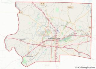
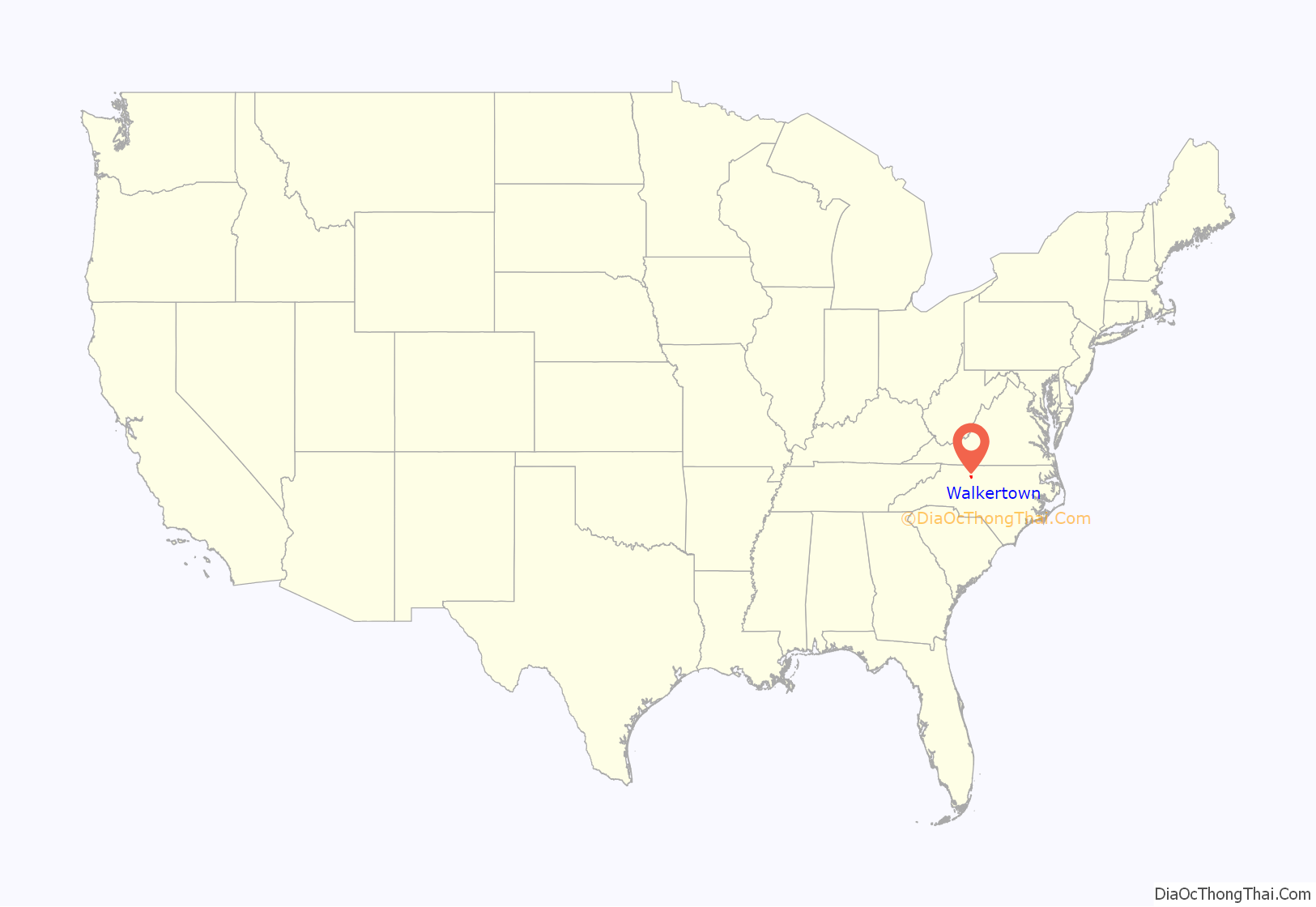
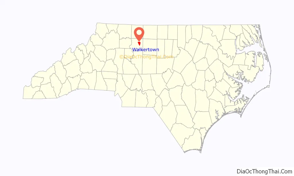
Walkertown location map. Where is Walkertown town?
History
Walkertown was named for Dr. Robert Walker who was living at the site by 1771. Walker left the area to relocate in the West, but his home remained standing through the mid-20th century. The town was incorporated in 1984.
The Thomas A. Crews House was listed on the National Register of Historic Places in 1993.
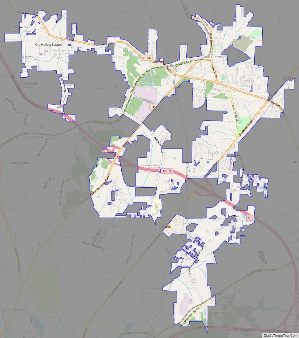
Walkertown Road Map
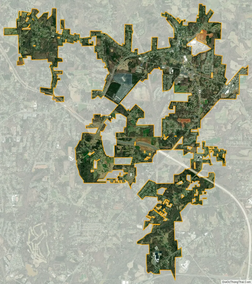
Walkertown city Satellite Map
Geography
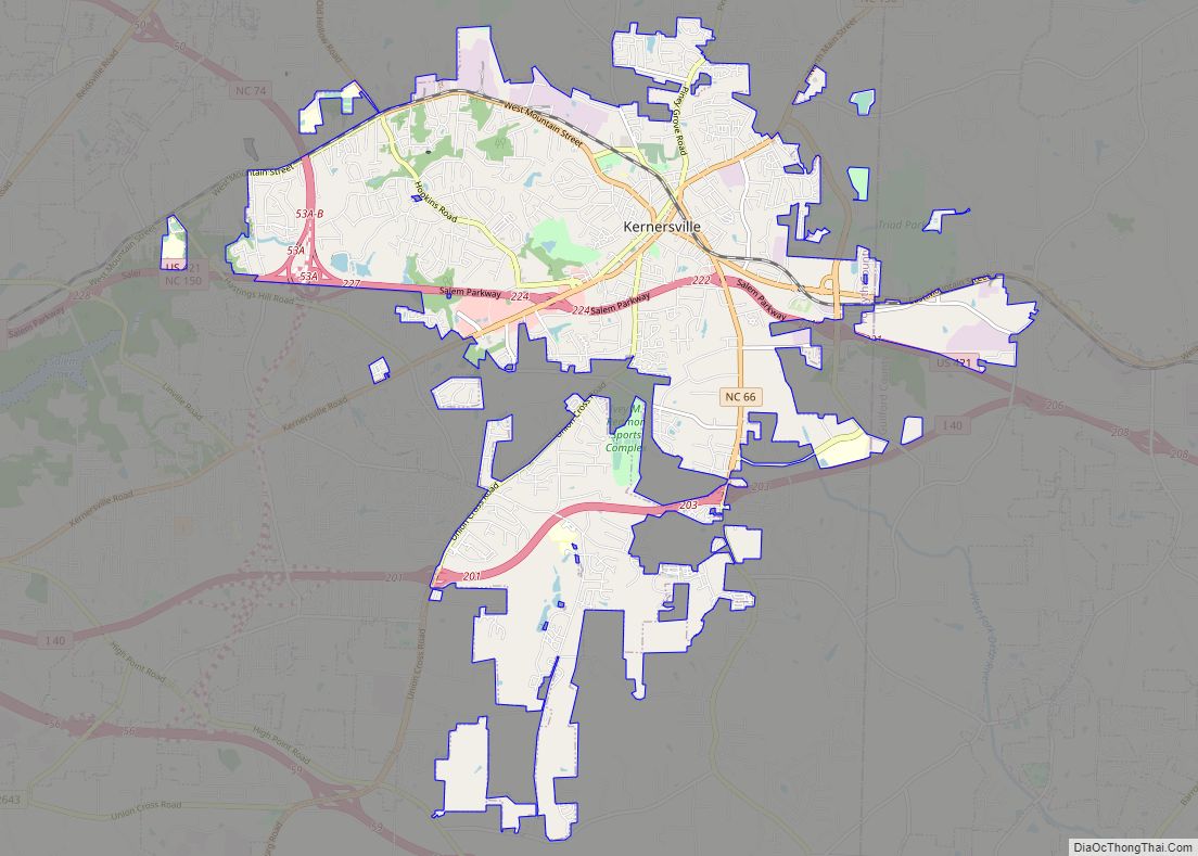
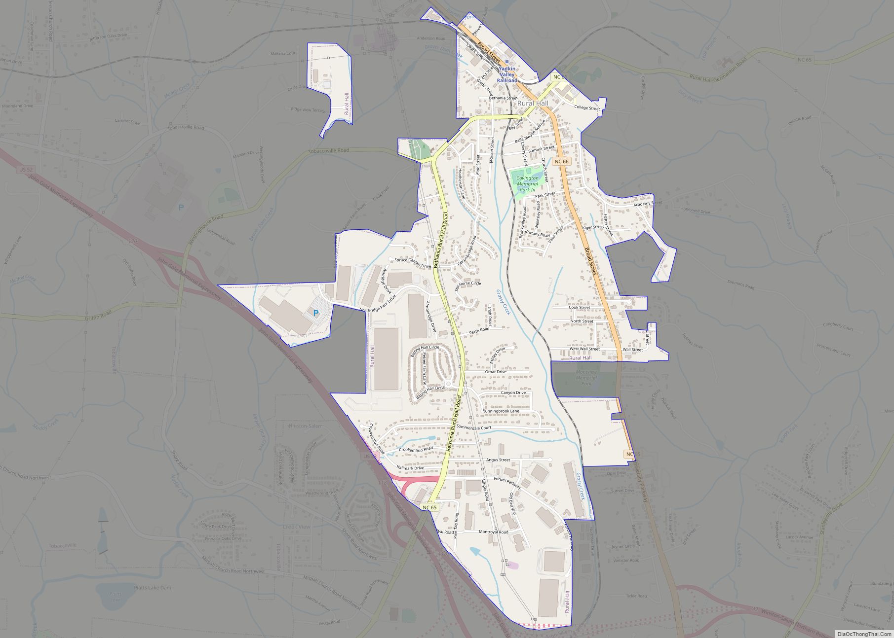
Walkertown is located in eastern Forsyth County at 36°9′33″N 80°10′4″W / 36.15917°N 80.16778°W / 36.15917; -80.16778 (36.159159, -80.167661). It is bordered to the southwest by the city of Winston-Salem. U.S. Route 311 passes through the center of town, and U.S. Route 158 passes through the southeastern part; both highways lead southwest 8 miles (13 km) to downtown Winston-Salem. US 311 continues north-northeast 22 miles (35 km) to Madison, while US 158 leads east-northeast 33 miles (53 km) to Reidsville. North Carolina Highway 66 crosses both highways, leading northwest 10 miles (16 km) to Rural Hall. The future Interstate 74 currently designated as NC Highway 74, bypasses most of the town to the south while following parallel with NC 66; both highways going southeast connect the town to Kernersville, northwest to Rural Hall.
According to the United States Census Bureau, Walkertown has a total area of 6.6 square miles (17.1 km), of which 0.19 square miles (0.5 km), or 0.31%, is water.
See also
Map of North Carolina State and its subdivision:- Alamance
- Alexander
- Alleghany
- Anson
- Ashe
- Avery
- Beaufort
- Bertie
- Bladen
- Brunswick
- Buncombe
- Burke
- Cabarrus
- Caldwell
- Camden
- Carteret
- Caswell
- Catawba
- Chatham
- Cherokee
- Chowan
- Clay
- Cleveland
- Columbus
- Craven
- Cumberland
- Currituck
- Dare
- Davidson
- Davie
- Duplin
- Durham
- Edgecombe
- Forsyth
- Franklin
- Gaston
- Gates
- Graham
- Granville
- Greene
- Guilford
- Halifax
- Harnett
- Haywood
- Henderson
- Hertford
- Hoke
- Hyde
- Iredell
- Jackson
- Johnston
- Jones
- Lee
- Lenoir
- Lincoln
- Macon
- Madison
- Martin
- McDowell
- Mecklenburg
- Mitchell
- Montgomery
- Moore
- Nash
- New Hanover
- Northampton
- Onslow
- Orange
- Pamlico
- Pasquotank
- Pender
- Perquimans
- Person
- Pitt
- Polk
- Randolph
- Richmond
- Robeson
- Rockingham
- Rowan
- Rutherford
- Sampson
- Scotland
- Stanly
- Stokes
- Surry
- Swain
- Transylvania
- Tyrrell
- Union
- Vance
- Wake
- Warren
- Washington
- Watauga
- Wayne
- Wilkes
- Wilson
- Yadkin
- Yancey
- Alabama
- Alaska
- Arizona
- Arkansas
- California
- Colorado
- Connecticut
- Delaware
- District of Columbia
- Florida
- Georgia
- Hawaii
- Idaho
- Illinois
- Indiana
- Iowa
- Kansas
- Kentucky
- Louisiana
- Maine
- Maryland
- Massachusetts
- Michigan
- Minnesota
- Mississippi
- Missouri
- Montana
- Nebraska
- Nevada
- New Hampshire
- New Jersey
- New Mexico
- New York
- North Carolina
- North Dakota
- Ohio
- Oklahoma
- Oregon
- Pennsylvania
- Rhode Island
- South Carolina
- South Dakota
- Tennessee
- Texas
- Utah
- Vermont
- Virginia
- Washington
- West Virginia
- Wisconsin
- Wyoming