Wanchese (/ˈwɒntʃiːz/) is a census-designated place (CDP) on Roanoke Island in Dare County, North Carolina, United States. It was named after Wanchese, the last known ruler of the Roanoke Native American tribe encountered by English colonists in the sixteenth century. The population was 1,642 at the 2010 census. Today, Wanchese is the center of commercial fishing and boatbuilding on the Outer Banks.
The residents of Wanchese are governed by the Dare County Board of Commissioners. Wanchese is part of District 1, along with Manteo, Roanoke Island and Manns Harbor.
| Name: | Wanchese CDP |
|---|---|
| LSAD Code: | 57 |
| LSAD Description: | CDP (suffix) |
| State: | North Carolina |
| County: | Dare County |
| Elevation: | 7 ft (2 m) |
| Total Area: | 4.71 sq mi (12.20 km²) |
| Land Area: | 4.67 sq mi (12.08 km²) |
| Water Area: | 0.04 sq mi (0.11 km²) |
| Total Population: | 1,522 |
| Population Density: | 326.26/sq mi (125.97/km²) |
| ZIP code: | 27981 |
| Area code: | 252 |
| FIPS code: | 3770920 |
| GNISfeature ID: | 0996765 |
Online Interactive Map
Click on ![]() to view map in "full screen" mode.
to view map in "full screen" mode.
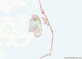
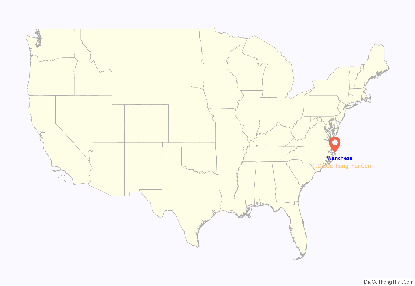
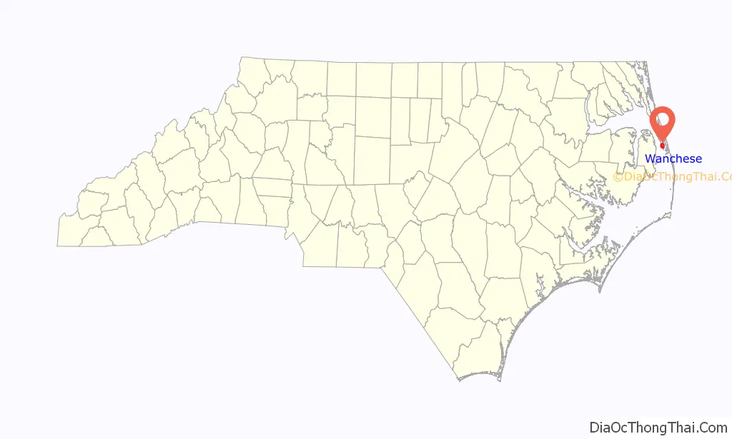
Wanchese location map. Where is Wanchese CDP?
History
Also see: History of Roanoke Island
Archeological evidence shows that Wanchese was the site of the first fishing village on Roanoke Island. Indigenous people inhabited the area 1500 years ago, and their various cultures used this site for fishing for 1100 years. They also collected oysters and shellfish from nearby beds in the Sound.
What is called the Tillett Site (after the last owners) had been occupied originally when it was still part of the mainland, during the entire Archaic Period (8000-1000 BC). After the sea levels rose and it became an island, the saline conditions of the Sound became established, giving rise to the later indigenous fishing culture, including that of the historic Roanoke tribe.
Three later periods of occupation were identified:
- Mount Pleasant component, beginning around 400 and ending around 800;
- Colington component, the prehistoric manifestation of the Carolina Algonkian culture, from 800 to 1650; and
- Historic period component, related mostly to the Green family use of the site as a farmstead from c. 1884 to 1910/20. There was also fishing in this area.
During the first two periods, the Tillett site was a seasonal settlement. The Roanoke came to it from the mainland to fish and collect shellfish. At the time of English exploration, the Algonquian-speaking Roanoke tribe used the site for seasonal fishing. Their main town was on the western shore of Croatan Sound.
After permanent English colonization in the 1650s, the site continued to be used for fishing by the Anglo-Americans. During the 19th century Wanchese had the only light-house on Roanoke Island, called Marshes Light, which has since been reconstructed in Manteo. In the 1980s, it was to be redeveloped for a major commercial fishing port and seafood processing facility.
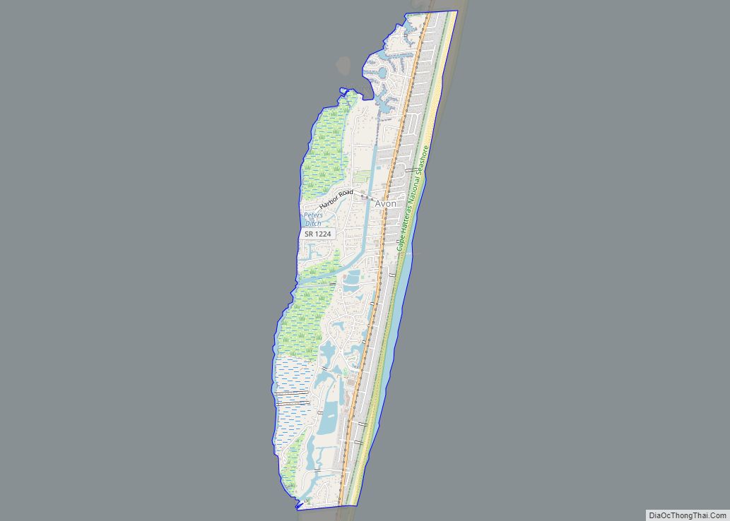
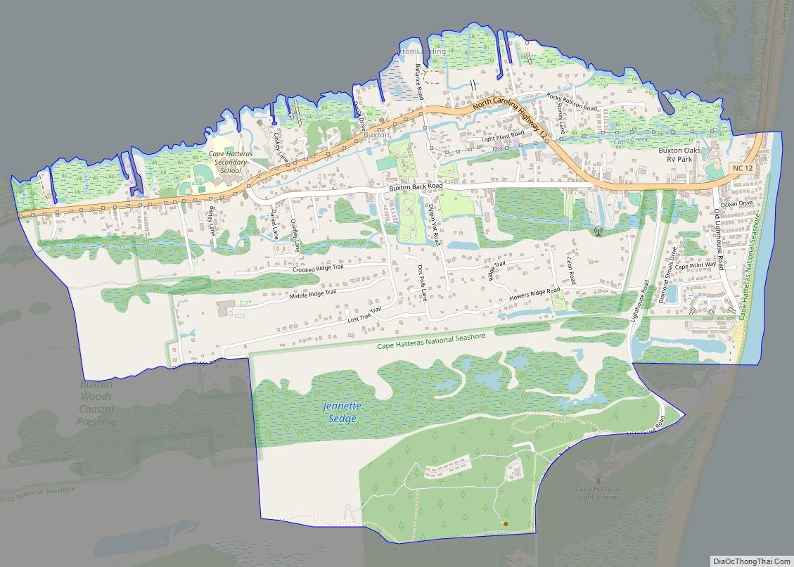
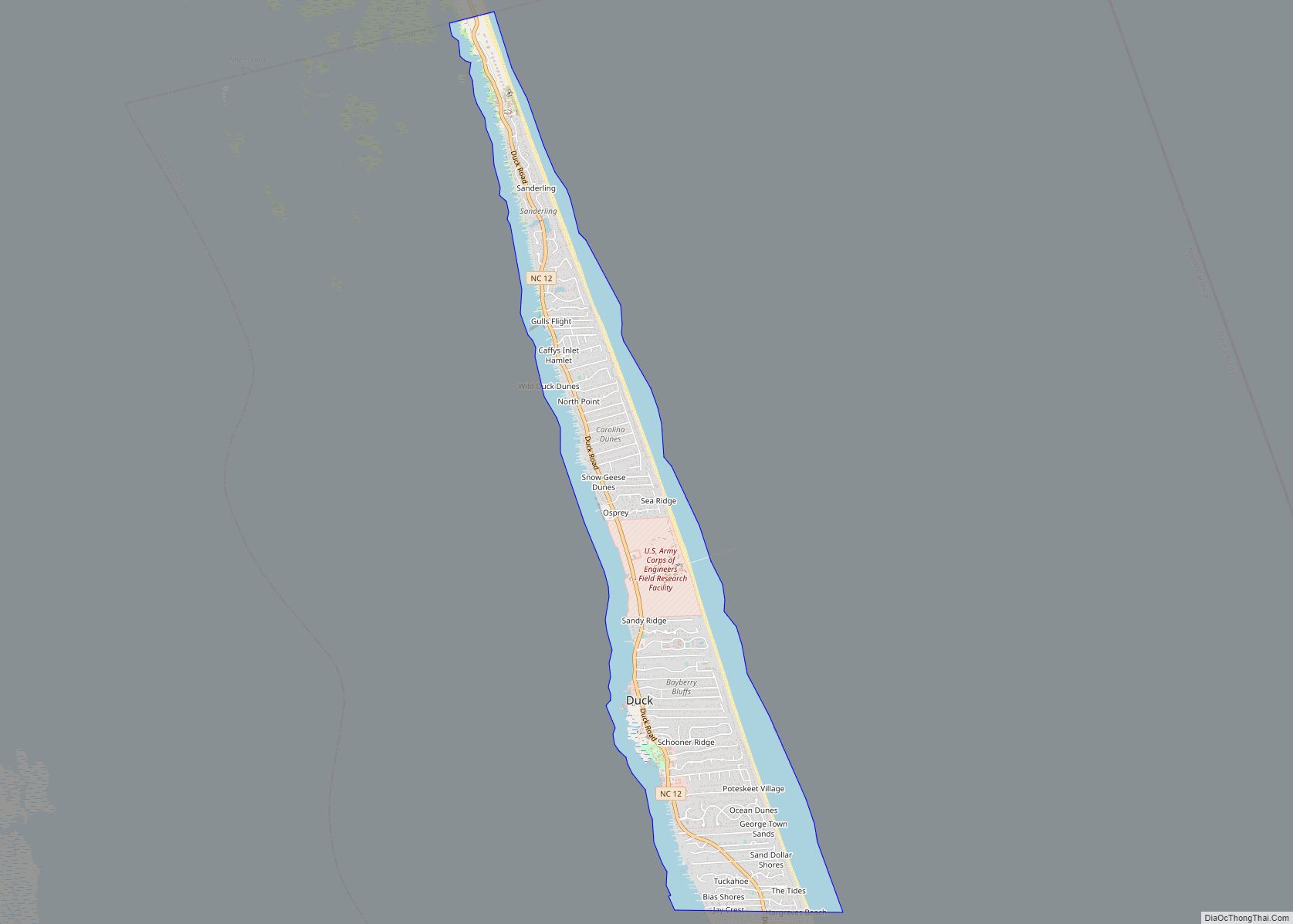
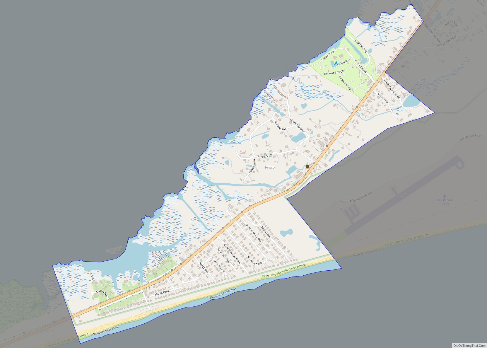
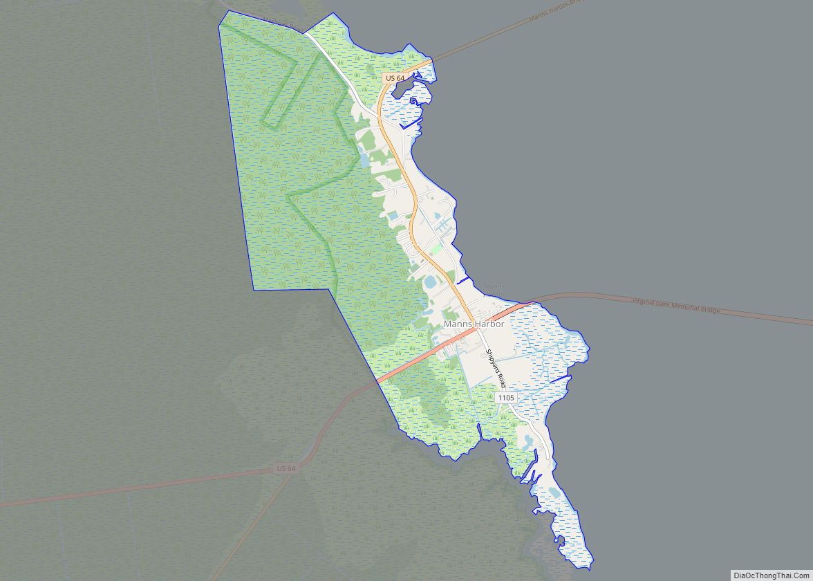
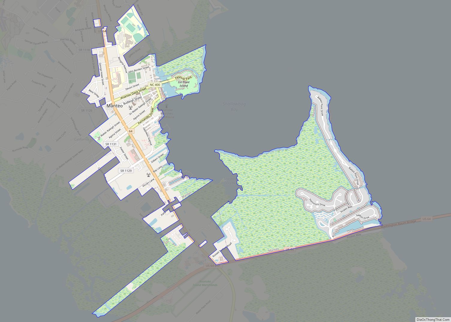
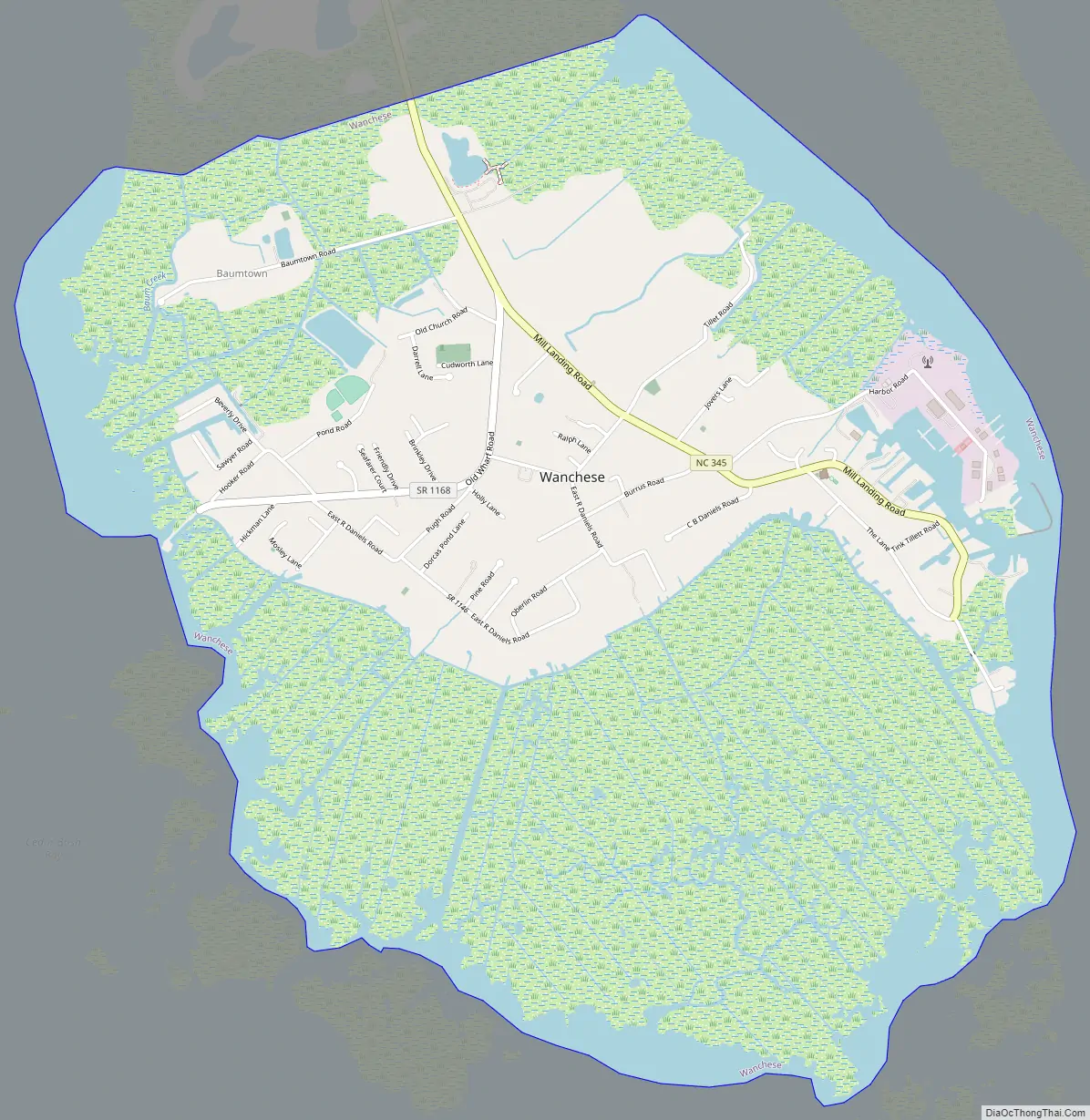
Wanchese Road Map
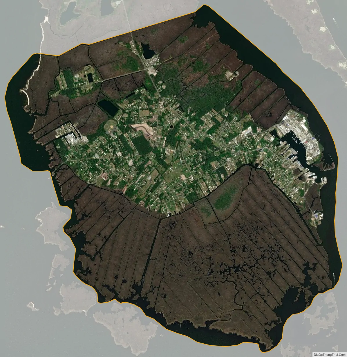
Wanchese city Satellite Map
Geography
Wanchese is located at 35°50′42″N 75°38′22″W / 35.845046°N 75.639544°W / 35.845046; -75.639544, and on the southern end of Roanoke Island.
According to the United States, the CDP has a total area of 5.5 square miles (14 km), of which 4.7 square miles (12 km) is land and 0.8 square miles (2.1 km) (14.26%) is water.
See also
Map of North Carolina State and its subdivision:- Alamance
- Alexander
- Alleghany
- Anson
- Ashe
- Avery
- Beaufort
- Bertie
- Bladen
- Brunswick
- Buncombe
- Burke
- Cabarrus
- Caldwell
- Camden
- Carteret
- Caswell
- Catawba
- Chatham
- Cherokee
- Chowan
- Clay
- Cleveland
- Columbus
- Craven
- Cumberland
- Currituck
- Dare
- Davidson
- Davie
- Duplin
- Durham
- Edgecombe
- Forsyth
- Franklin
- Gaston
- Gates
- Graham
- Granville
- Greene
- Guilford
- Halifax
- Harnett
- Haywood
- Henderson
- Hertford
- Hoke
- Hyde
- Iredell
- Jackson
- Johnston
- Jones
- Lee
- Lenoir
- Lincoln
- Macon
- Madison
- Martin
- McDowell
- Mecklenburg
- Mitchell
- Montgomery
- Moore
- Nash
- New Hanover
- Northampton
- Onslow
- Orange
- Pamlico
- Pasquotank
- Pender
- Perquimans
- Person
- Pitt
- Polk
- Randolph
- Richmond
- Robeson
- Rockingham
- Rowan
- Rutherford
- Sampson
- Scotland
- Stanly
- Stokes
- Surry
- Swain
- Transylvania
- Tyrrell
- Union
- Vance
- Wake
- Warren
- Washington
- Watauga
- Wayne
- Wilkes
- Wilson
- Yadkin
- Yancey
- Alabama
- Alaska
- Arizona
- Arkansas
- California
- Colorado
- Connecticut
- Delaware
- District of Columbia
- Florida
- Georgia
- Hawaii
- Idaho
- Illinois
- Indiana
- Iowa
- Kansas
- Kentucky
- Louisiana
- Maine
- Maryland
- Massachusetts
- Michigan
- Minnesota
- Mississippi
- Missouri
- Montana
- Nebraska
- Nevada
- New Hampshire
- New Jersey
- New Mexico
- New York
- North Carolina
- North Dakota
- Ohio
- Oklahoma
- Oregon
- Pennsylvania
- Rhode Island
- South Carolina
- South Dakota
- Tennessee
- Texas
- Utah
- Vermont
- Virginia
- Washington
- West Virginia
- Wisconsin
- Wyoming