Signal Mountain is a town in Hamilton County, Tennessee, United States. The town is a suburb of Chattanooga and is located on Walden Ridge. “Signal Mountain” is used as a colloquial name for the part of Walden Ridge close to the town. The town population was 8,852 as of the 2020 census and estimated to be 8,567 in 2018.
| Name: | Signal Mountain town |
|---|---|
| LSAD Code: | 43 |
| LSAD Description: | town (suffix) |
| State: | Tennessee |
| County: | Hamilton County |
| Incorporated: | 1919 |
| Elevation: | 1,703 ft (519 m) |
| Total Area: | 8.37 sq mi (21.69 km²) |
| Land Area: | 8.37 sq mi (21.68 km²) |
| Water Area: | 0.00 sq mi (0.01 km²) |
| Total Population: | 8,852 |
| Population Density: | 1,057.59/sq mi (408.36/km²) |
| ZIP code: | 37377 |
| Area code: | 423 |
| FIPS code: | 4768540 |
| GNISfeature ID: | 1270254 |
| Website: | signalmountaintn.gov |
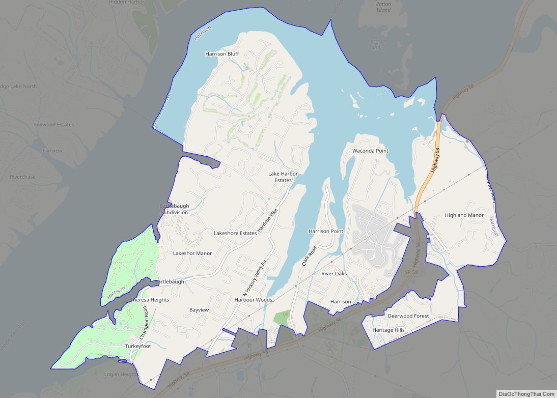
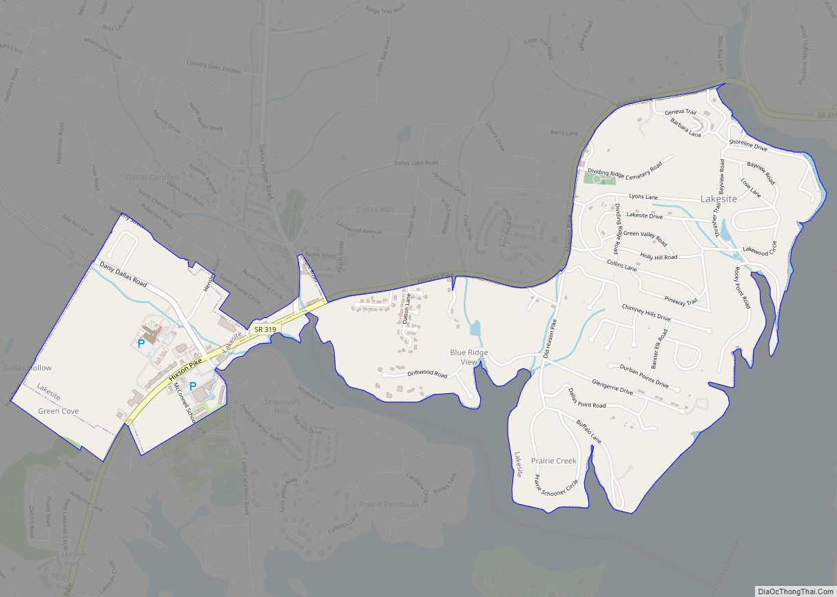
Online Interactive Map
Click on ![]() to view map in "full screen" mode.
to view map in "full screen" mode.
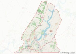
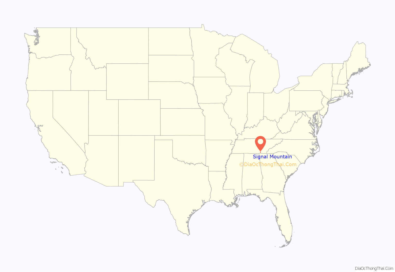
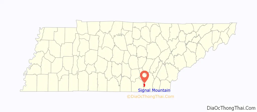
Signal Mountain location map. Where is Signal Mountain town?
History
Signal Mountain’s history dates back years before settlement of the mountain itself. Centuries prior to the Civil War, Native Americans used a location on the mountain known as Signal Point to send fire and smoke signals across the Tennessee Valley. Later, the Union Army used Signal Point as a communications station during the Civil War. At the outbreak of the war, only a few families lived on the mountain. However, when various health epidemics struck Chattanooga in 1873 and 1878, several wealthy families relocated to the mountain where they could find clear air and pure water. In the early 20th century, Charles E. James purchased 4,400 acres (18 km) of land in the Signal Point area and developed the mountain. In 1913, construction was completed of twelve miles (19 km) of streetcar track, which linked Chattanooga to Signal Mountain. While the streetcars are no longer used, the tracks remain in the streets of Signal Mountain’s historic district named after Velma. On April 4, 1919, the Tennessee Legislature passed the bill that chartered the Town of Signal Mountain. During the 1970s, the town experienced significant growth. In 2013 Signal Mountain made Bloomberg Businessweeks’ list of the best places to raise a family.
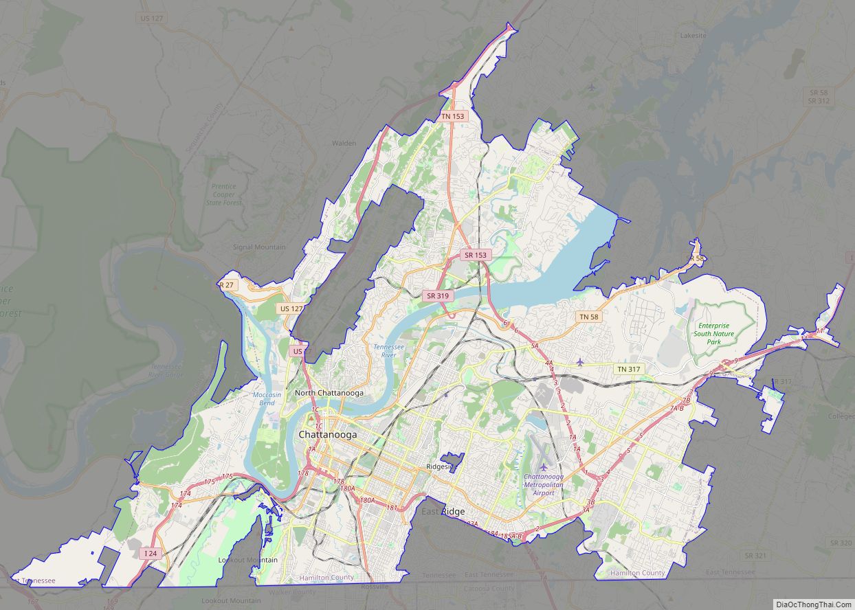
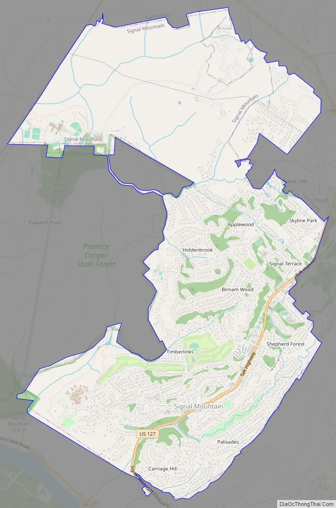
Signal Mountain Road Map
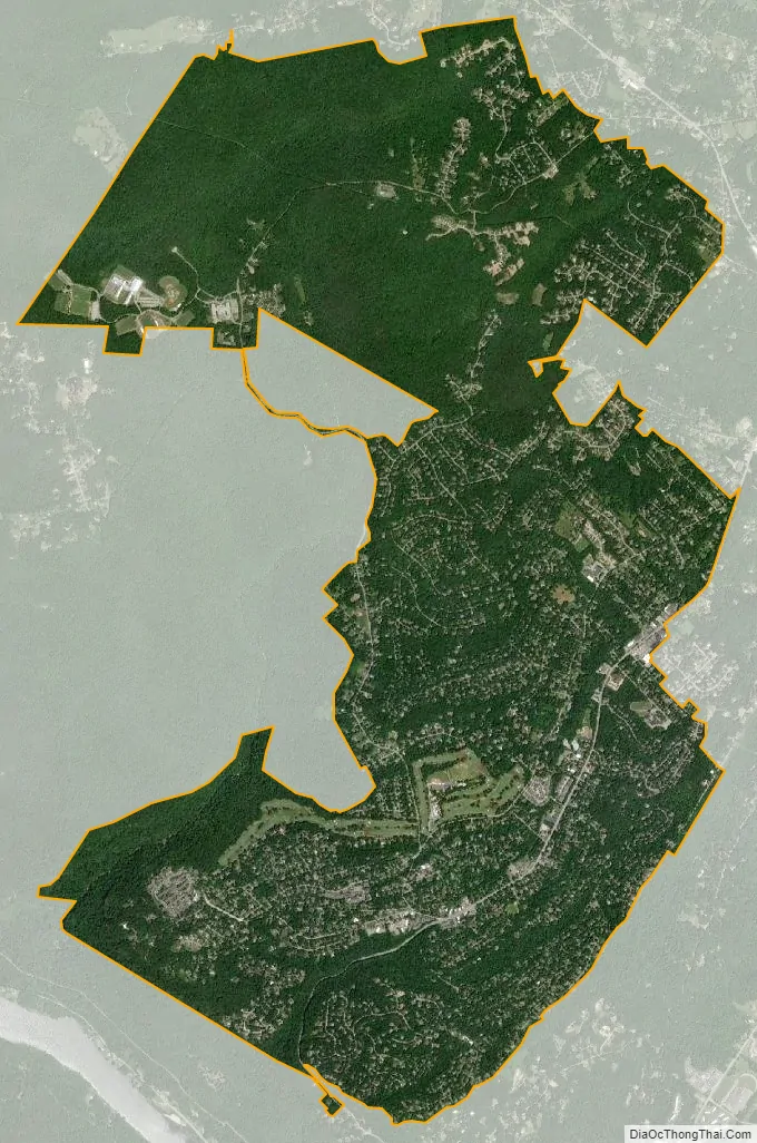
Signal Mountain city Satellite Map
Geography
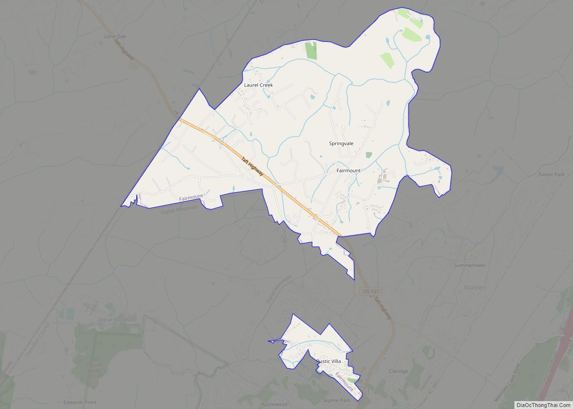
Signal Mountain is located in southwestern Hamilton County at 35°8′N 85°21′W (35.1291, -85.3424), atop the south end of Walden Ridge. The southern edge of the town overlooks the Tennessee River 1,000 feet (300 m) below. The town is bordered to the south by the city of Chattanooga, to the northeast by the town of Walden, and to the north by the unincorporated community of Fairmount.
U.S. Route 127 (Ridgeway Avenue) is the main road through the town, leading south off the mountain 8 miles (13 km) to downtown Chattanooga and north over Walden Ridge 21 miles (34 km) to Dunlap.
According to the United States Census Bureau, the town has a total area of 7.7 square miles (19.9 km), all land.
See also
Map of Tennessee State and its subdivision:- Anderson
- Bedford
- Benton
- Bledsoe
- Blount
- Bradley
- Campbell
- Cannon
- Carroll
- Carter
- Cheatham
- Chester
- Claiborne
- Clay
- Cocke
- Coffee
- Crockett
- Cumberland
- Davidson
- Decatur
- DeKalb
- Dickson
- Dyer
- Fayette
- Fentress
- Franklin
- Gibson
- Giles
- Grainger
- Greene
- Grundy
- Hamblen
- Hamilton
- Hancock
- Hardeman
- Hardin
- Hawkins
- Haywood
- Henderson
- Henry
- Hickman
- Houston
- Humphreys
- Jackson
- Jefferson
- Johnson
- Knox
- Lake
- Lauderdale
- Lawrence
- Lewis
- Lincoln
- Loudon
- Macon
- Madison
- Marion
- Marshall
- Maury
- McMinn
- McNairy
- Meigs
- Monroe
- Montgomery
- Moore
- Morgan
- Obion
- Overton
- Perry
- Pickett
- Polk
- Putnam
- Rhea
- Roane
- Robertson
- Rutherford
- Scott
- Sequatchie
- Sevier
- Shelby
- Smith
- Stewart
- Sullivan
- Sumner
- Tipton
- Trousdale
- Unicoi
- Union
- Van Buren
- Warren
- Washington
- Wayne
- Weakley
- White
- Williamson
- Wilson
- Alabama
- Alaska
- Arizona
- Arkansas
- California
- Colorado
- Connecticut
- Delaware
- District of Columbia
- Florida
- Georgia
- Hawaii
- Idaho
- Illinois
- Indiana
- Iowa
- Kansas
- Kentucky
- Louisiana
- Maine
- Maryland
- Massachusetts
- Michigan
- Minnesota
- Mississippi
- Missouri
- Montana
- Nebraska
- Nevada
- New Hampshire
- New Jersey
- New Mexico
- New York
- North Carolina
- North Dakota
- Ohio
- Oklahoma
- Oregon
- Pennsylvania
- Rhode Island
- South Carolina
- South Dakota
- Tennessee
- Texas
- Utah
- Vermont
- Virginia
- Washington
- West Virginia
- Wisconsin
- Wyoming