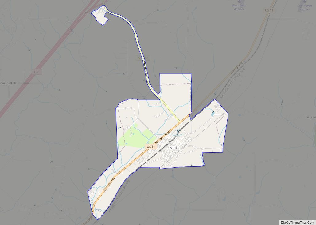
Niota is a city in McMinn County, Tennessee, United States. The population was estimated at 772 in 2020 by the U.S. Census Bureau.
| Name: | Niota city |
|---|---|
| LSAD Code: | 25 |
| LSAD Description: | city (suffix) |
| State: | Tennessee |
| County: | McMinn County |
| Incorporated: | 1911 |
| Elevation: | 1,007 ft (307 m) |
| Total Area: | 2.30 sq mi (5.95 km²) |
| Land Area: | 2.30 sq mi (5.95 km²) |
| Water Area: | 0.00 sq mi (0.00 km²) |
| Total Population: | 772 |
| Population Density: | 335.94/sq mi (129.69/km²) |
| ZIP code: | 37826 |
| Area code: | 423 |
| FIPS code: | 4753380 |
| GNISfeature ID: | 1648566 |
Online Interactive Map
Click on ![]() to view map in "full screen" mode.
to view map in "full screen" mode.
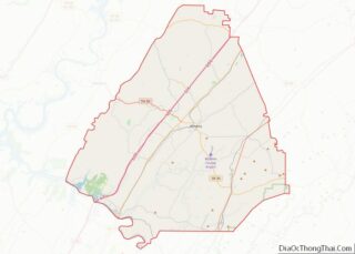
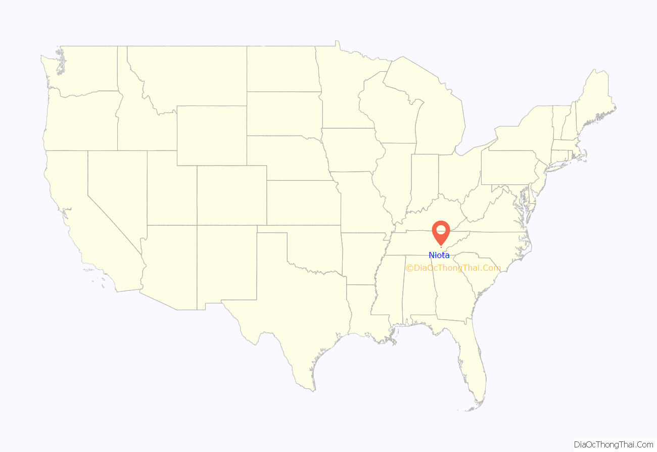
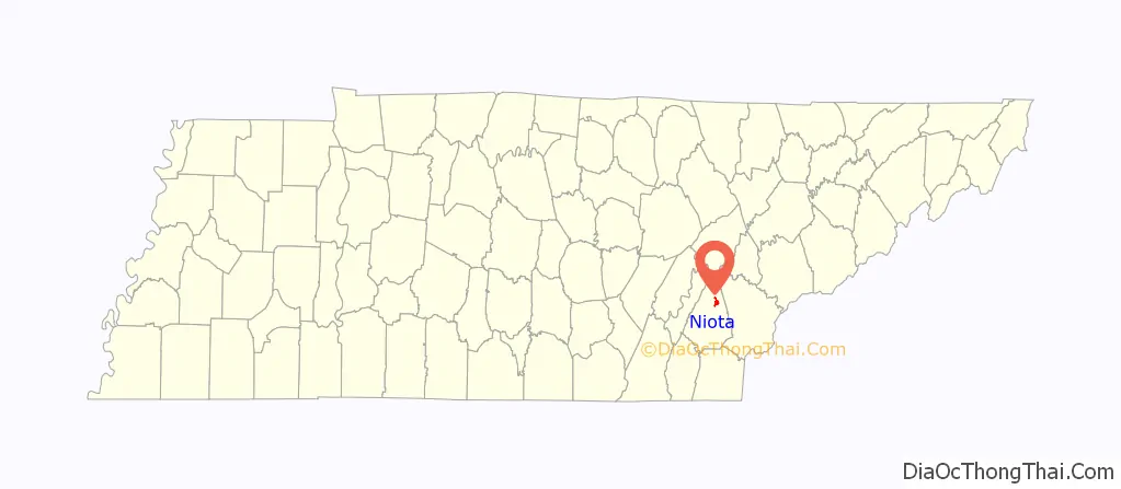
Niota location map. Where is Niota city?
History
The community was originally called “Mouse Creek,” but was renamed in 1897 to avoid confusion with a railroad stop in Jefferson City that was named “Mossy Creek.” The name “Niota” was based on the name of a fictional character in a dime novel, a Native American chief named “Nee-o-tah.”
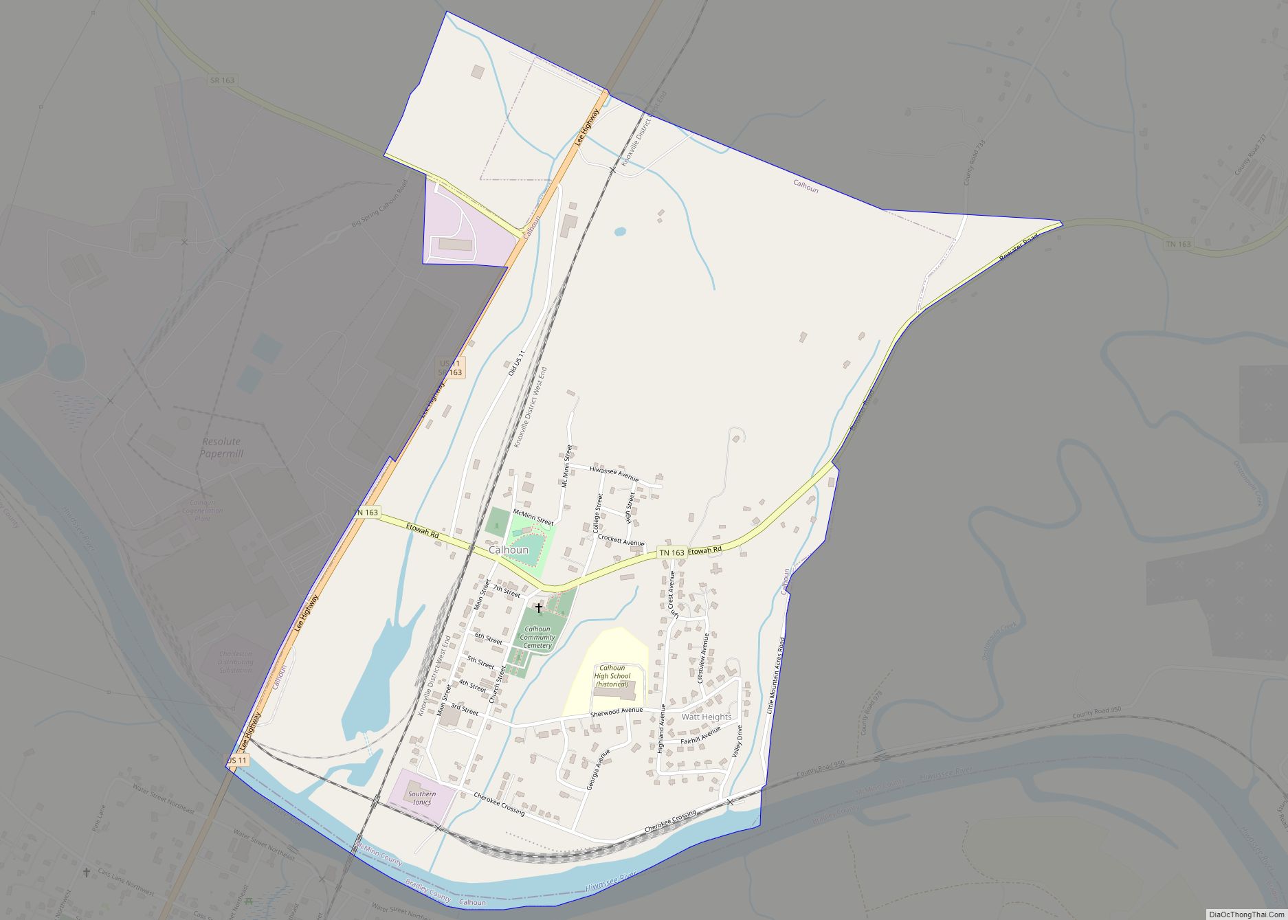
The Niota Depot, built in 1854 for the East Tennessee, Virginia and Georgia Railway, is the oldest standing railroad depot in Tennessee. It currently serves as Niota City Hall.
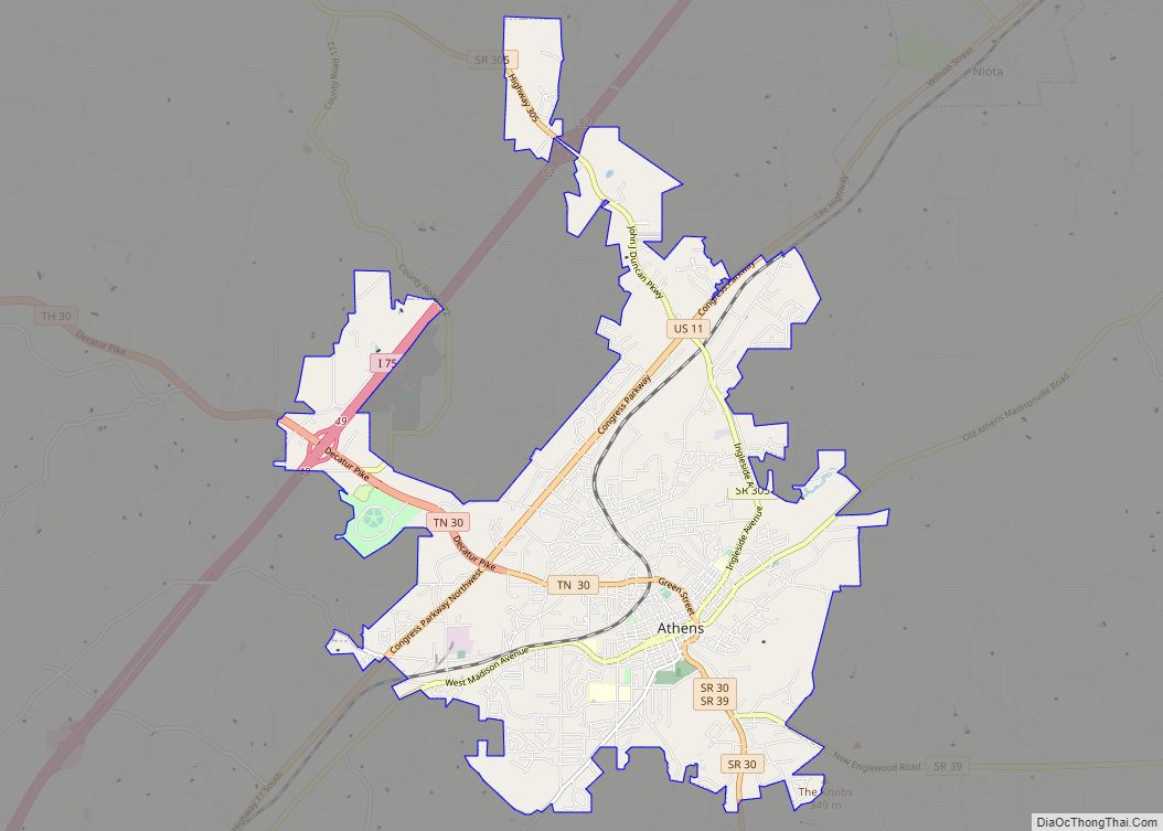
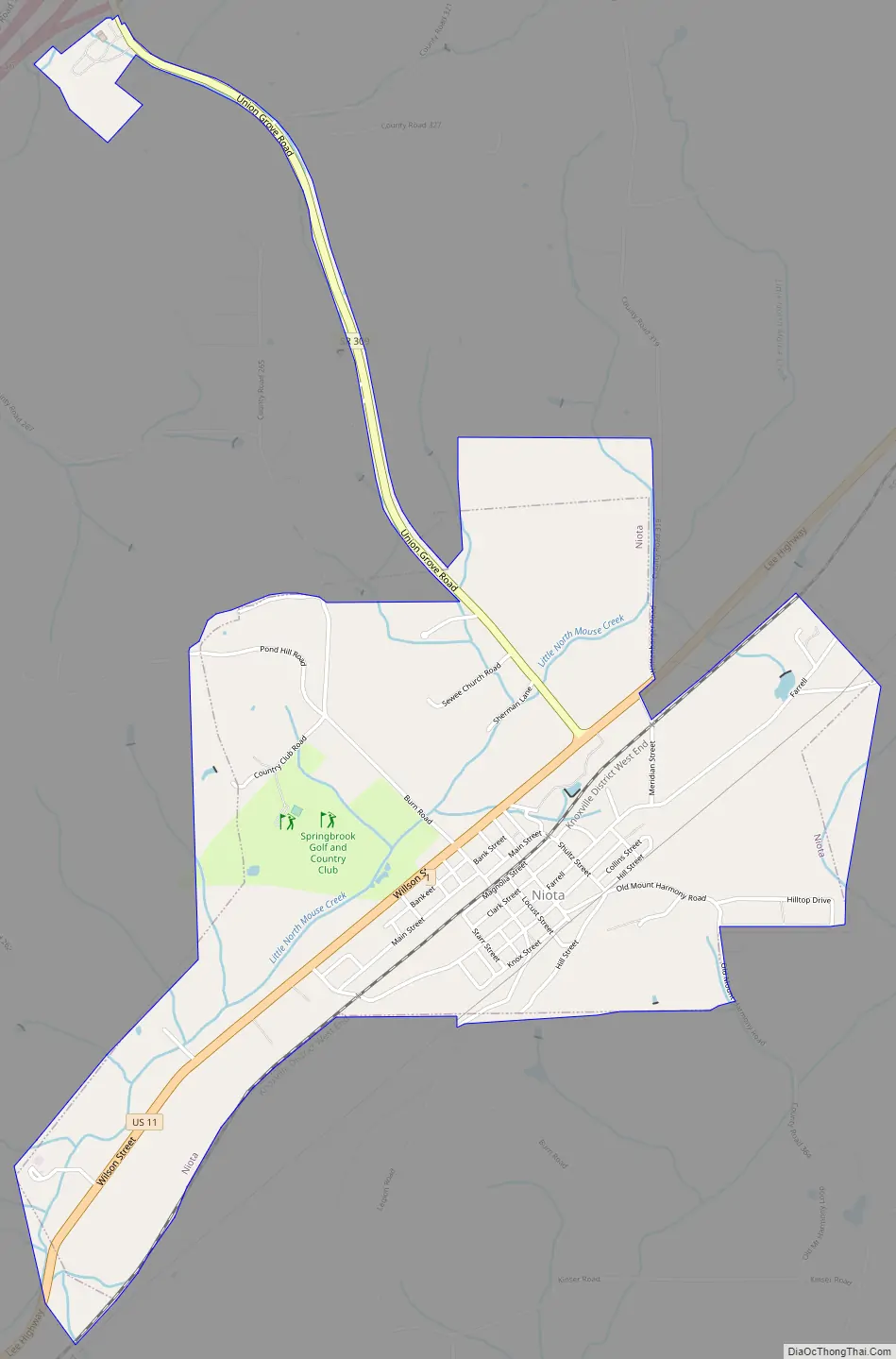
Niota Road Map
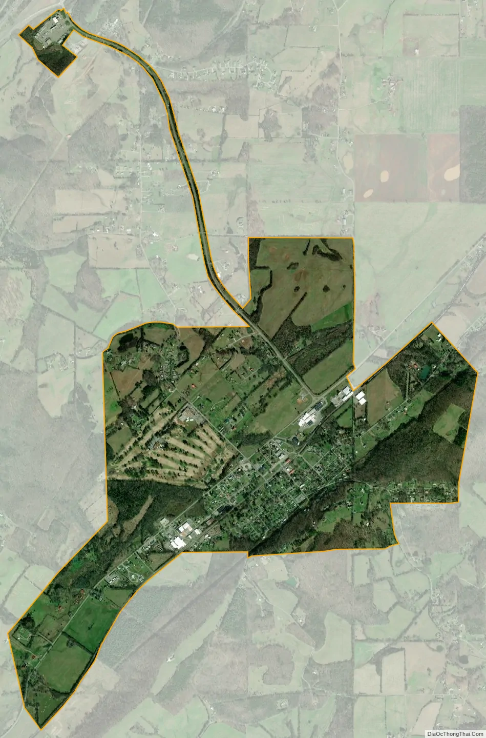
Niota city Satellite Map
Geography
Niota is located at 35°30′51″N 84°32′50″W / 35.51417°N 84.54722°W / 35.51417; -84.54722 (35.514230, -84.547132). The city is situated along US Route 11 between Sweetwater and Athens. Tennessee State Route 309 connects the city with Interstate 75 to the west.
According to the United States Census Bureau, the city has a total area of 2.0 square miles (5.2 km), all land.
See also
Map of Tennessee State and its subdivision:- Anderson
- Bedford
- Benton
- Bledsoe
- Blount
- Bradley
- Campbell
- Cannon
- Carroll
- Carter
- Cheatham
- Chester
- Claiborne
- Clay
- Cocke
- Coffee
- Crockett
- Cumberland
- Davidson
- Decatur
- DeKalb
- Dickson
- Dyer
- Fayette
- Fentress
- Franklin
- Gibson
- Giles
- Grainger
- Greene
- Grundy
- Hamblen
- Hamilton
- Hancock
- Hardeman
- Hardin
- Hawkins
- Haywood
- Henderson
- Henry
- Hickman
- Houston
- Humphreys
- Jackson
- Jefferson
- Johnson
- Knox
- Lake
- Lauderdale
- Lawrence
- Lewis
- Lincoln
- Loudon
- Macon
- Madison
- Marion
- Marshall
- Maury
- McMinn
- McNairy
- Meigs
- Monroe
- Montgomery
- Moore
- Morgan
- Obion
- Overton
- Perry
- Pickett
- Polk
- Putnam
- Rhea
- Roane
- Robertson
- Rutherford
- Scott
- Sequatchie
- Sevier
- Shelby
- Smith
- Stewart
- Sullivan
- Sumner
- Tipton
- Trousdale
- Unicoi
- Union
- Van Buren
- Warren
- Washington
- Wayne
- Weakley
- White
- Williamson
- Wilson
- Alabama
- Alaska
- Arizona
- Arkansas
- California
- Colorado
- Connecticut
- Delaware
- District of Columbia
- Florida
- Georgia
- Hawaii
- Idaho
- Illinois
- Indiana
- Iowa
- Kansas
- Kentucky
- Louisiana
- Maine
- Maryland
- Massachusetts
- Michigan
- Minnesota
- Mississippi
- Missouri
- Montana
- Nebraska
- Nevada
- New Hampshire
- New Jersey
- New Mexico
- New York
- North Carolina
- North Dakota
- Ohio
- Oklahoma
- Oregon
- Pennsylvania
- Rhode Island
- South Carolina
- South Dakota
- Tennessee
- Texas
- Utah
- Vermont
- Virginia
- Washington
- West Virginia
- Wisconsin
- Wyoming