Spurgeon is a census-designated place (CDP) in Sullivan and Washington counties in the U.S. state of Tennessee. The population was 3,957 at the 2010 census.
The Washington County portion of Spurgeon is part of the Johnson City Metropolitan Statistical Area, while the Sullivan County portion is part of the Kingsport–Bristol (TN)–Bristol (VA) Metropolitan Statistical Area. Those two metropolitan areas are components of the larger Johnson City–Kingsport–Bristol, TN-VA Combined Statistical Area – commonly known as the “Tri-Cities” region. During the American Civil War, a small conflict known as the Battle of Spurgeon’s Mill happened here.
| Name: | Spurgeon CDP |
|---|---|
| LSAD Code: | 57 |
| LSAD Description: | CDP (suffix) |
| State: | Tennessee |
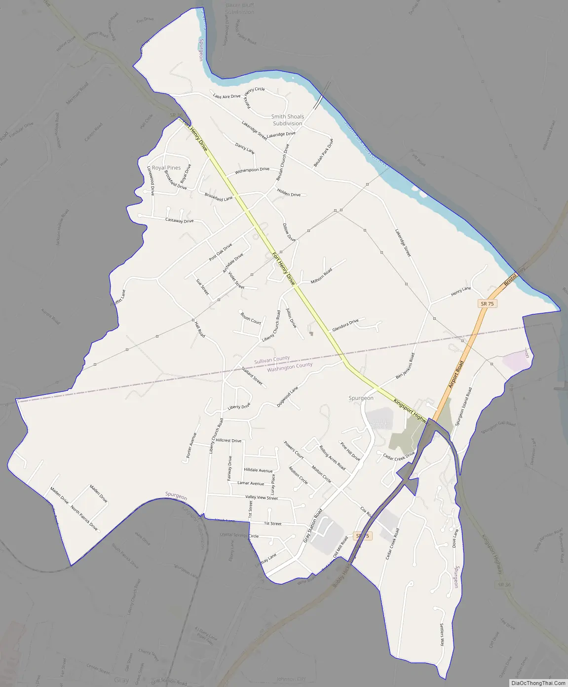
| County: | Sullivan County, Washington County |
| Elevation: | 1,414 ft (431 m) |
| Total Area: | 4.19 sq mi (10.86 km²) |
| Land Area: | 4.09 sq mi (10.59 km²) |
| Water Area: | 0.11 sq mi (0.28 km²) |
| Total Population: | 3,978 |
| Population Density: | 973.33/sq mi (375.78/km²) |
| FIPS code: | 4770680 |
| GNISfeature ID: | 1271165 |
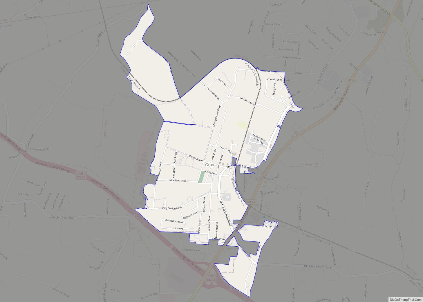
Online Interactive Map
Click on ![]() to view map in "full screen" mode.
to view map in "full screen" mode.
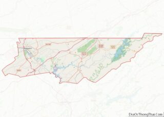
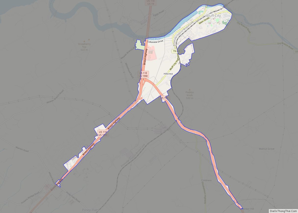
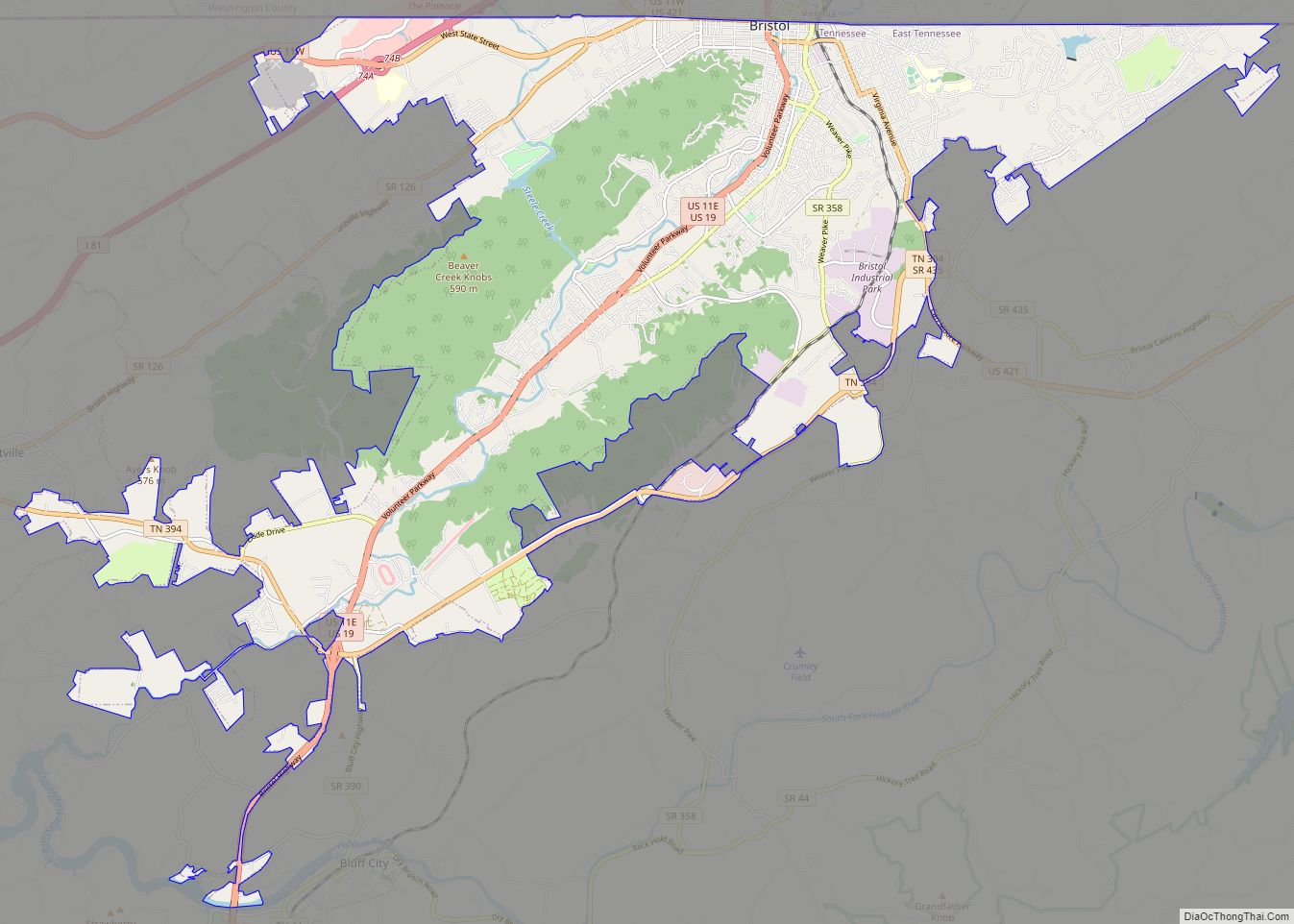
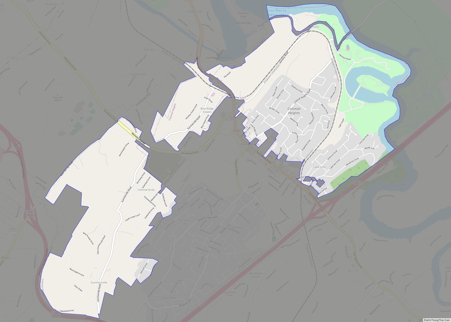
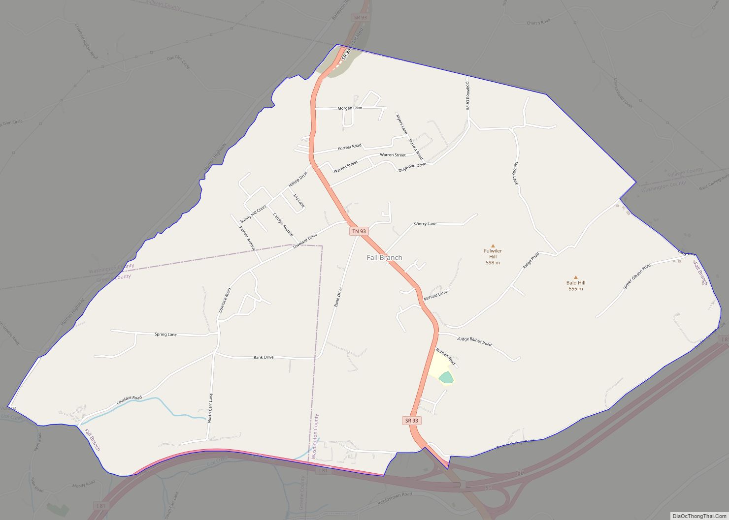
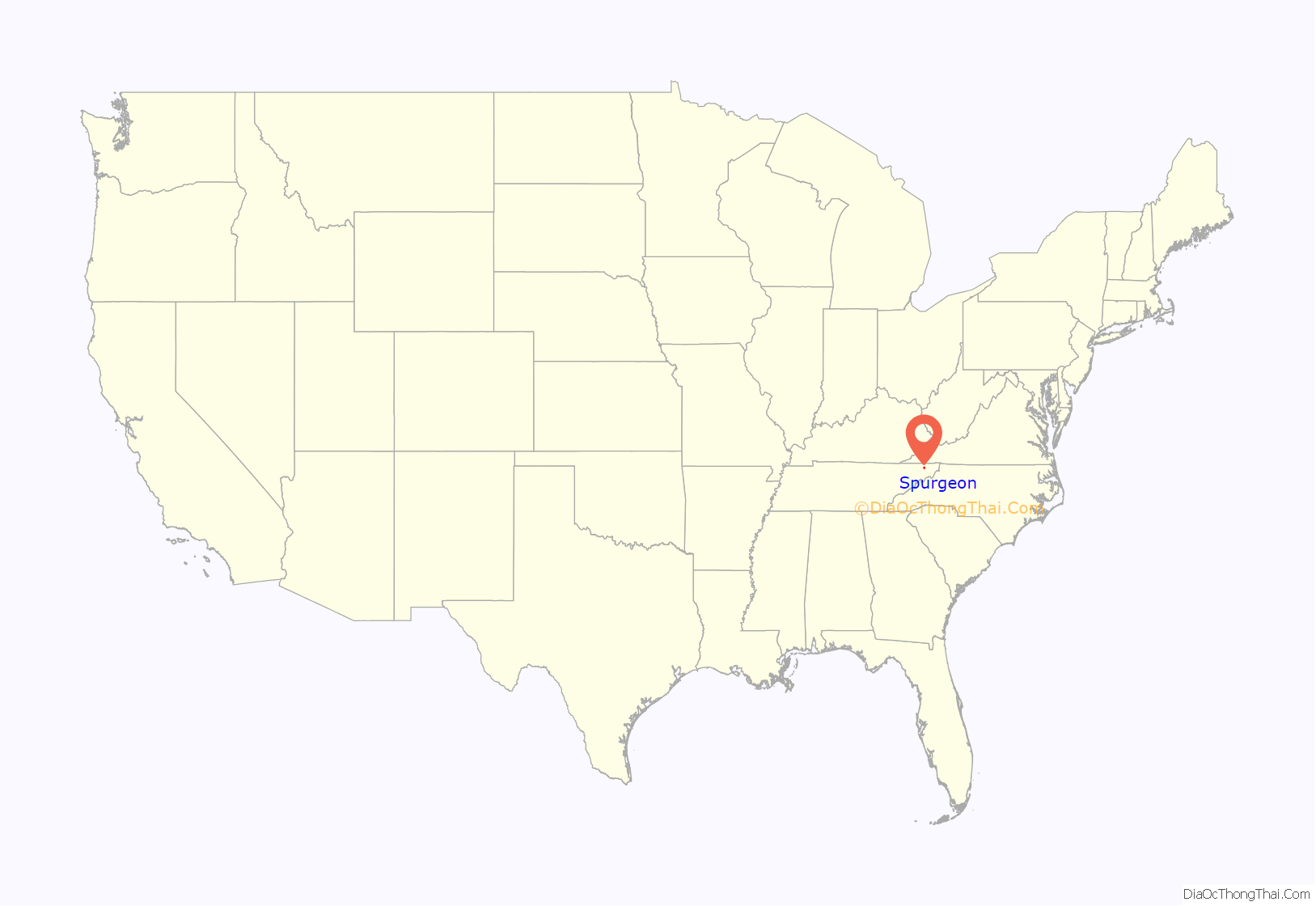
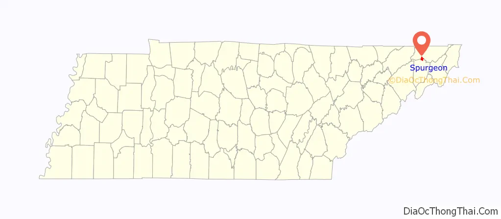
Spurgeon location map. Where is Spurgeon CDP?
Spurgeon Road Map
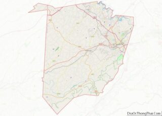
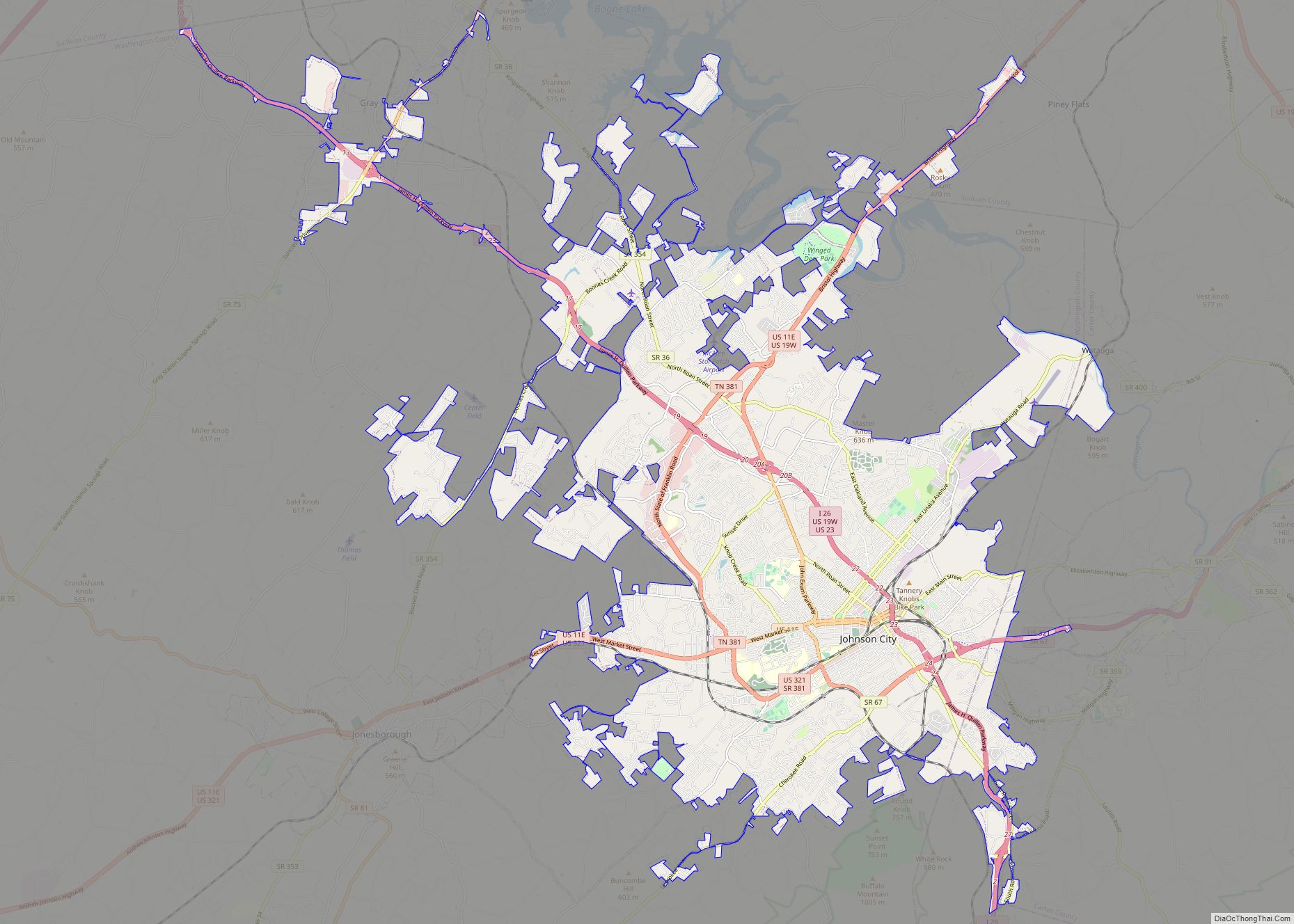
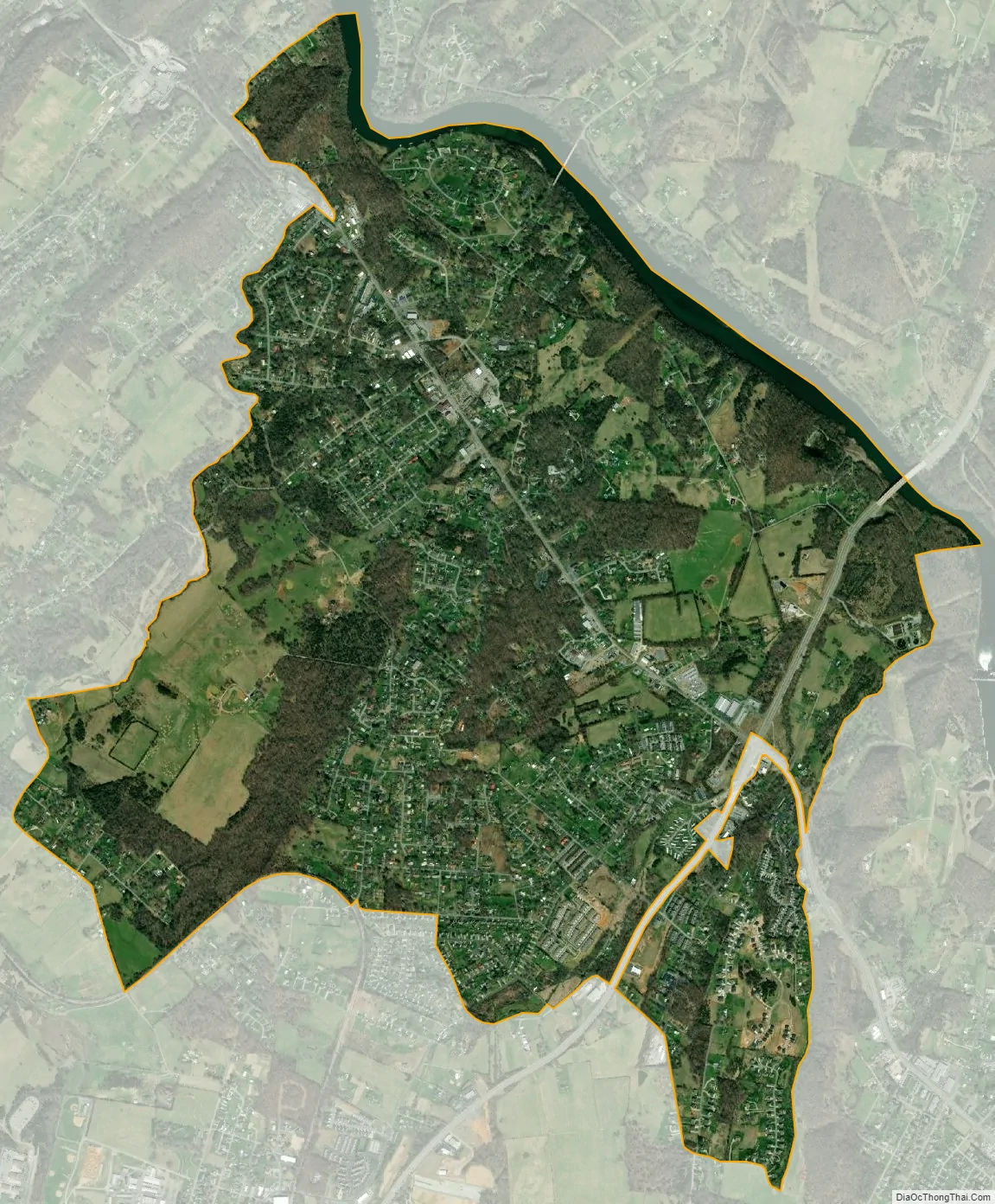
Spurgeon city Satellite Map
Geography
Spurgeon is located at 36°26′36″N 82°27′41″W / 36.44333°N 82.46139°W / 36.44333; -82.46139 (36.443236, -82.461335).
According to the United States Census Bureau, the CDP has a total area of 4.2 square miles (10.9 km), of which 4.1 square miles (10.6 km) is land and 0.1 square mile (0.3 km) (2.38%) is water.
See also
Map of Tennessee State and its subdivision:- Anderson
- Bedford
- Benton
- Bledsoe
- Blount
- Bradley
- Campbell
- Cannon
- Carroll
- Carter
- Cheatham
- Chester
- Claiborne
- Clay
- Cocke
- Coffee
- Crockett
- Cumberland
- Davidson
- Decatur
- DeKalb
- Dickson
- Dyer
- Fayette
- Fentress
- Franklin
- Gibson
- Giles
- Grainger
- Greene
- Grundy
- Hamblen
- Hamilton
- Hancock
- Hardeman
- Hardin
- Hawkins
- Haywood
- Henderson
- Henry
- Hickman
- Houston
- Humphreys
- Jackson
- Jefferson
- Johnson
- Knox
- Lake
- Lauderdale
- Lawrence
- Lewis
- Lincoln
- Loudon
- Macon
- Madison
- Marion
- Marshall
- Maury
- McMinn
- McNairy
- Meigs
- Monroe
- Montgomery
- Moore
- Morgan
- Obion
- Overton
- Perry
- Pickett
- Polk
- Putnam
- Rhea
- Roane
- Robertson
- Rutherford
- Scott
- Sequatchie
- Sevier
- Shelby
- Smith
- Stewart
- Sullivan
- Sumner
- Tipton
- Trousdale
- Unicoi
- Union
- Van Buren
- Warren
- Washington
- Wayne
- Weakley
- White
- Williamson
- Wilson
- Alabama
- Alaska
- Arizona
- Arkansas
- California
- Colorado
- Connecticut
- Delaware
- District of Columbia
- Florida
- Georgia
- Hawaii
- Idaho
- Illinois
- Indiana
- Iowa
- Kansas
- Kentucky
- Louisiana
- Maine
- Maryland
- Massachusetts
- Michigan
- Minnesota
- Mississippi
- Missouri
- Montana
- Nebraska
- Nevada
- New Hampshire
- New Jersey
- New Mexico
- New York
- North Carolina
- North Dakota
- Ohio
- Oklahoma
- Oregon
- Pennsylvania
- Rhode Island
- South Carolina
- South Dakota
- Tennessee
- Texas
- Utah
- Vermont
- Virginia
- Washington
- West Virginia
- Wisconsin
- Wyoming