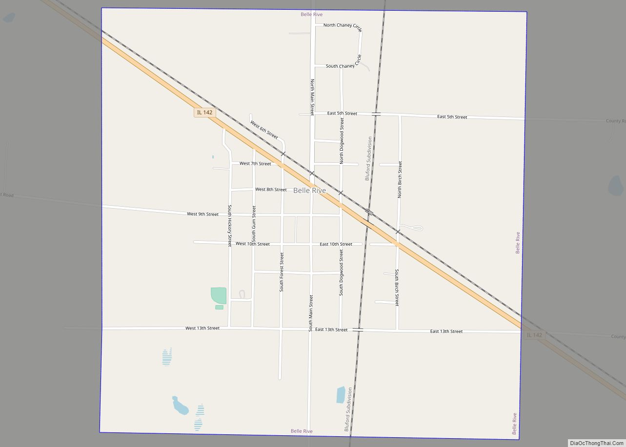
Belle Rive is a village in Jefferson County, Illinois, United States. The population was 361 at the 2010 census. It is part of the Mount Vernon Micropolitan Statistical Area.
| Name: | Belle Rive village |
|---|---|
| LSAD Code: | 47 |
| LSAD Description: | village (suffix) |
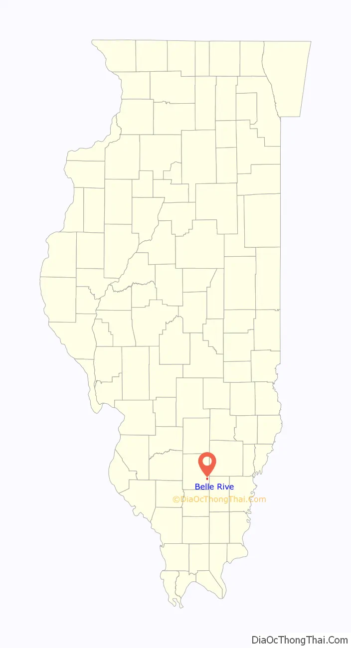
| State: | Illinois |
| County: | Jefferson County |
| Elevation: | 476 ft (145 m) |
| Total Area: | 1.03 sq mi (2.66 km²) |
| Land Area: | 1.03 sq mi (2.66 km²) |
| Water Area: | 0.00 sq mi (0.00 km²) |
| Total Population: | 309 |
| Population Density: | 301.17/sq mi (116.27/km²) |
| ZIP code: | 62810 |
| Area code: | 618 |
| FIPS code: | 1704806 |
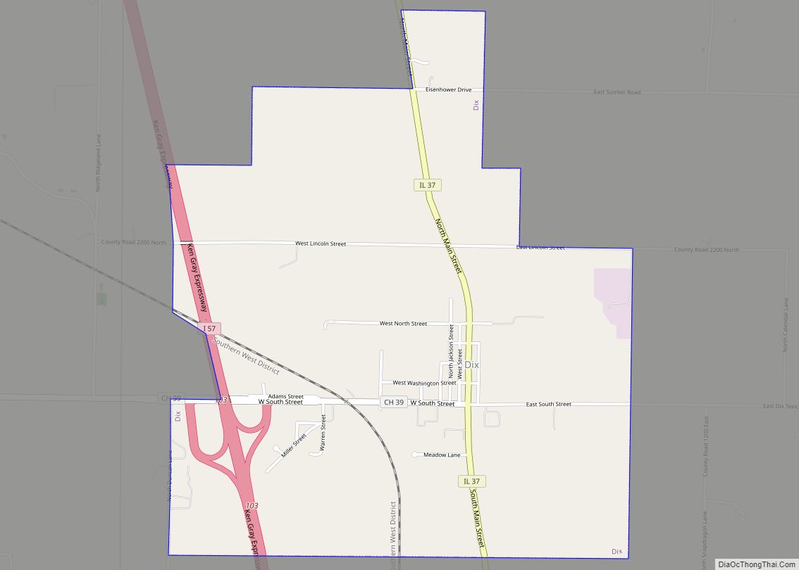
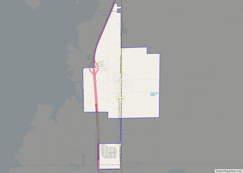
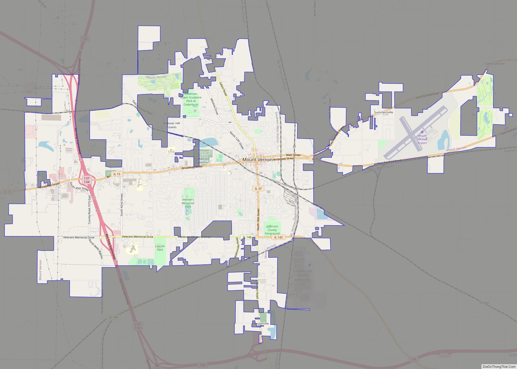
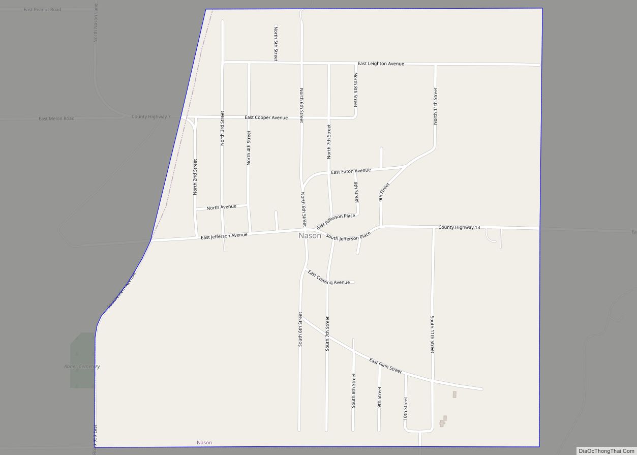
Online Interactive Map
Click on ![]() to view map in "full screen" mode.
to view map in "full screen" mode.
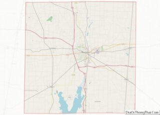
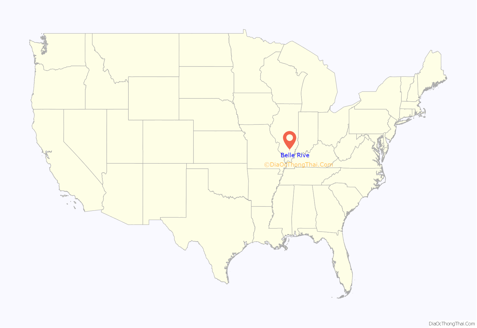
Belle Rive location map. Where is Belle Rive village?
History
In 1852, Edmund P. Grant bought about 480 acres (1.9 km) of federal land grants around what was to become Belle Rive. Grant was a wealthy land speculator from Montgomery County, Tennessee. At that time there was a corporation in Mt. Vernon that was attempting to build a rail line from St. Louis to Evansville, Indiana. It seems likely that Grant was buying land in anticipation of the construction of the railroad, intending to build a town. This early attempt at building a railroad failed during a recession in the mid-1850s. Grant died in 1863, after being chased from Mt. Vernon by a mob objecting to his Confederate politics.
Belle Rive was founded in 1871, coinciding with the opening of the St. Louis & Southeastern Railroad.
Belle Rive got its name from Louis Groston de Saint-Ange de Bellerive, who surrendered Illinois to the British in 1765. It is not clear if he was ever associated with the area near the village. See List of commandants of the Illinois Country.
Joseph Wall was one of the early settlers of Belle Rive. The Wall farm was to the southeast of the town. Joseph Wall was married to Edmund P. Grant’s niece.
Belle Rive is home to the regionally renowned Wilkey’s Cafe. Serving a homestyle buffet, Wilkey’s is a popular lunch spot for local farmers.
Notable people: Chelsea Cross, born and raised Landon James, 2016 SIJHSAA Class S State Cross Country Champion
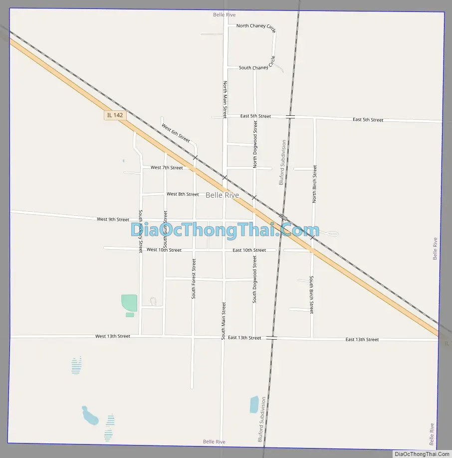
Belle Rive Road Map
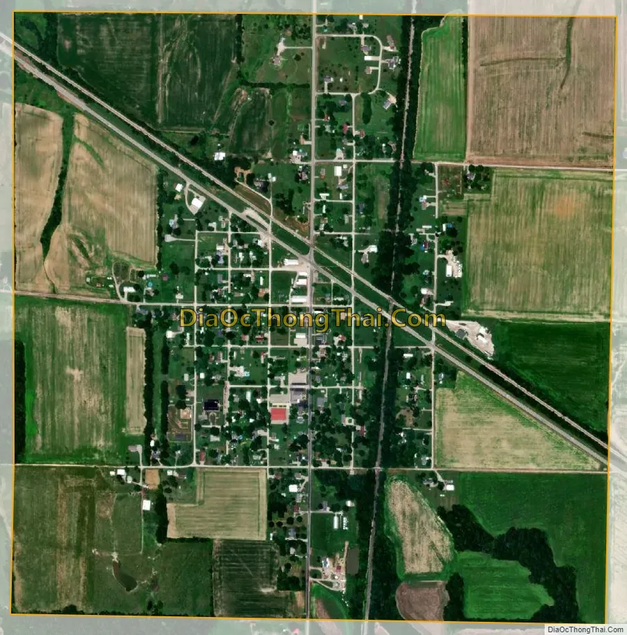
Belle Rive city Satellite Map
Geography
Belle Rive is located in southeastern Jefferson County. Illinois Route 142 passes through the village, leading northwest 11 miles (18 km) to Mount Vernon, the county seat, and southeast 15 miles (24 km) to McLeansboro.
According to the 2010 census, Belle Rive has a total area of 0.87 square miles (2.25 km), all land. The village is drained by tributaries of Auxier Creek, an east-flowing stream in the Little Wabash River watershed.
See also
Map of Illinois State and its subdivision:- Adams
- Alexander
- Bond
- Boone
- Brown
- Bureau
- Calhoun
- Carroll
- Cass
- Champaign
- Christian
- Clark
- Clay
- Clinton
- Coles
- Cook
- Crawford
- Cumberland
- De Kalb
- De Witt
- Douglas
- Dupage
- Edgar
- Edwards
- Effingham
- Fayette
- Ford
- Franklin
- Fulton
- Gallatin
- Greene
- Grundy
- Hamilton
- Hancock
- Hardin
- Henderson
- Henry
- Iroquois
- Jackson
- Jasper
- Jefferson
- Jersey
- Jo Daviess
- Johnson
- Kane
- Kankakee
- Kendall
- Knox
- La Salle
- Lake
- Lake Michigan
- Lawrence
- Lee
- Livingston
- Logan
- Macon
- Macoupin
- Madison
- Marion
- Marshall
- Mason
- Massac
- McDonough
- McHenry
- McLean
- Menard
- Mercer
- Monroe
- Montgomery
- Morgan
- Moultrie
- Ogle
- Peoria
- Perry
- Piatt
- Pike
- Pope
- Pulaski
- Putnam
- Randolph
- Richland
- Rock Island
- Saint Clair
- Saline
- Sangamon
- Schuyler
- Scott
- Shelby
- Stark
- Stephenson
- Tazewell
- Union
- Vermilion
- Wabash
- Warren
- Washington
- Wayne
- White
- Whiteside
- Will
- Williamson
- Winnebago
- Woodford
- Alabama
- Alaska
- Arizona
- Arkansas
- California
- Colorado
- Connecticut
- Delaware
- District of Columbia
- Florida
- Georgia
- Hawaii
- Idaho
- Illinois
- Indiana
- Iowa
- Kansas
- Kentucky
- Louisiana
- Maine
- Maryland
- Massachusetts
- Michigan
- Minnesota
- Mississippi
- Missouri
- Montana
- Nebraska
- Nevada
- New Hampshire
- New Jersey
- New Mexico
- New York
- North Carolina
- North Dakota
- Ohio
- Oklahoma
- Oregon
- Pennsylvania
- Rhode Island
- South Carolina
- South Dakota
- Tennessee
- Texas
- Utah
- Vermont
- Virginia
- Washington
- West Virginia
- Wisconsin
- Wyoming