Sikeston /ˈsaɪkstən/ is a city located both in southern Scott County and northern New Madrid County, in the state of Missouri, United States. It is situated just north of the “Missouri Bootheel”, although many locals consider Sikeston a part of it. By way of Interstate 55, Interstate 57, and U.S. Route 60, Sikeston is close to the halfway point between St. Louis and Memphis, Tennessee and is three hours from Nashville.
The city is named after John Sikes, who founded it in 1860. It is the principal city of the Sikeston Micropolitan Statistical Area, which consists of all of Scott County, and has a total population of 41,143.
As of the 2010 census, the city population was 16,318, making it the fourth-most populous city in Missouri’s 8th Congressional district behind Cape Girardeau, Rolla, and Poplar Bluff and just ahead of Farmington. Before the 2010 census, it had been the second-most populous city in the district.
| Name: | Sikeston city |
|---|---|
| LSAD Code: | 25 |
| LSAD Description: | city (suffix) |
| State: | Missouri |
| County: | New Madrid County, Scott County |
| Elevation: | 331 ft (101 m) |
| Total Area: | 17.30 sq mi (44.80 km²) |
| Land Area: | 17.14 sq mi (44.39 km²) |
| Water Area: | 0.16 sq mi (0.41 km²) |
| Total Population: | 16,291 |
| Population Density: | 950.52/sq mi (367.01/km²) |
| ZIP code: | 63801 |
| Area code: | 573 |
| FIPS code: | 2967790 |
| GNISfeature ID: | 2395885 |
| Website: | http://www.sikeston.org/ |
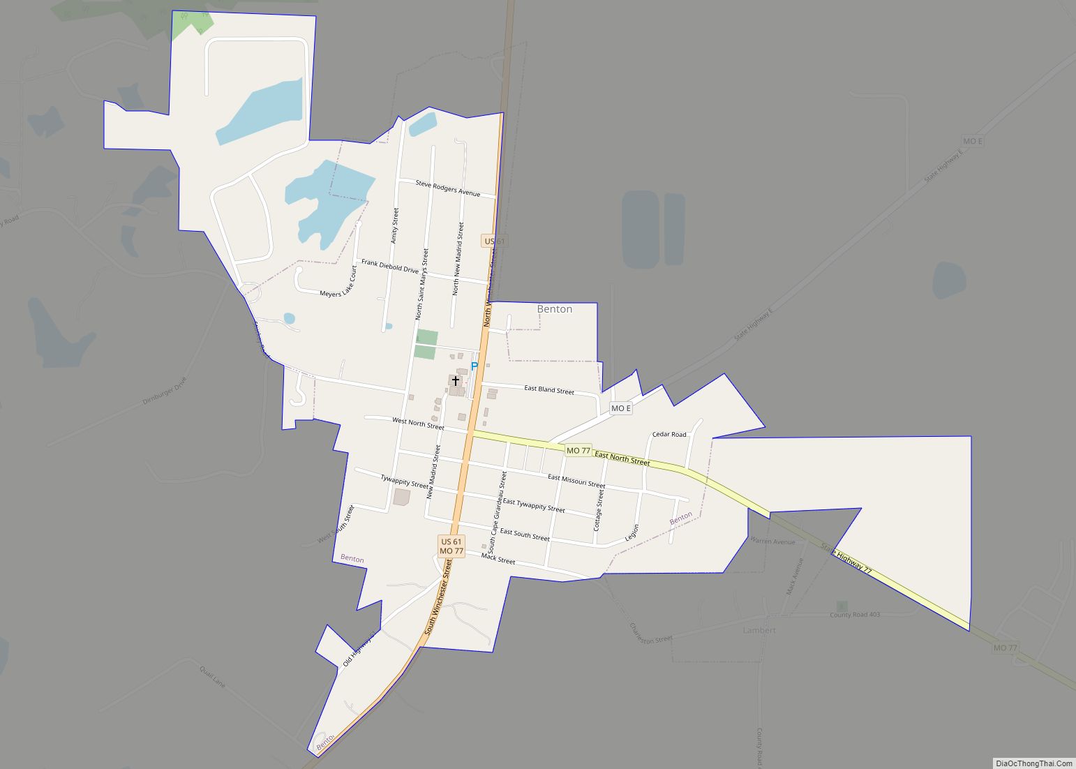
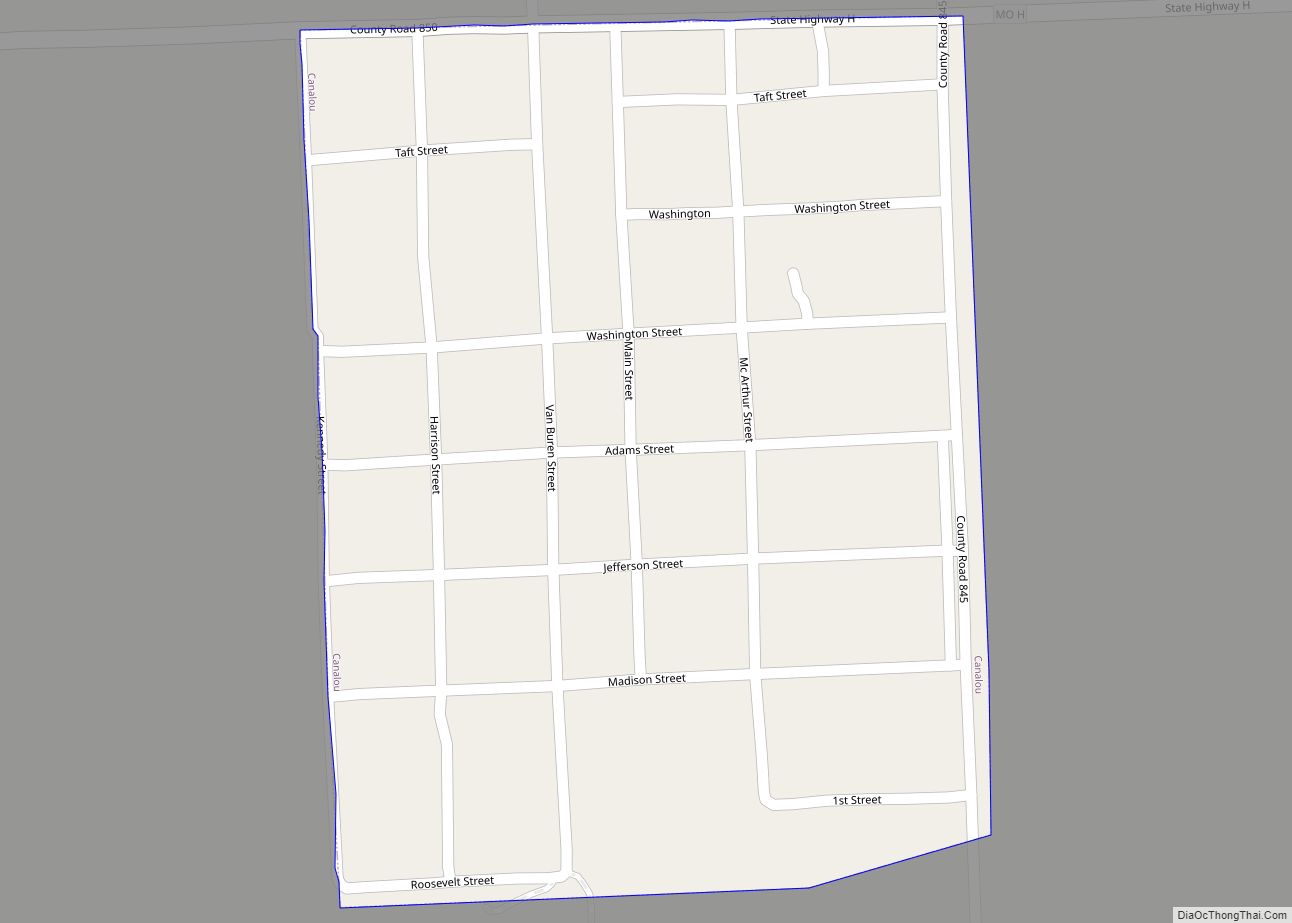
Online Interactive Map
Click on ![]() to view map in "full screen" mode.
to view map in "full screen" mode.
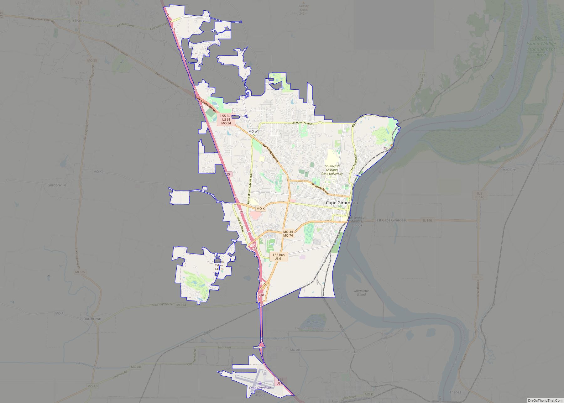
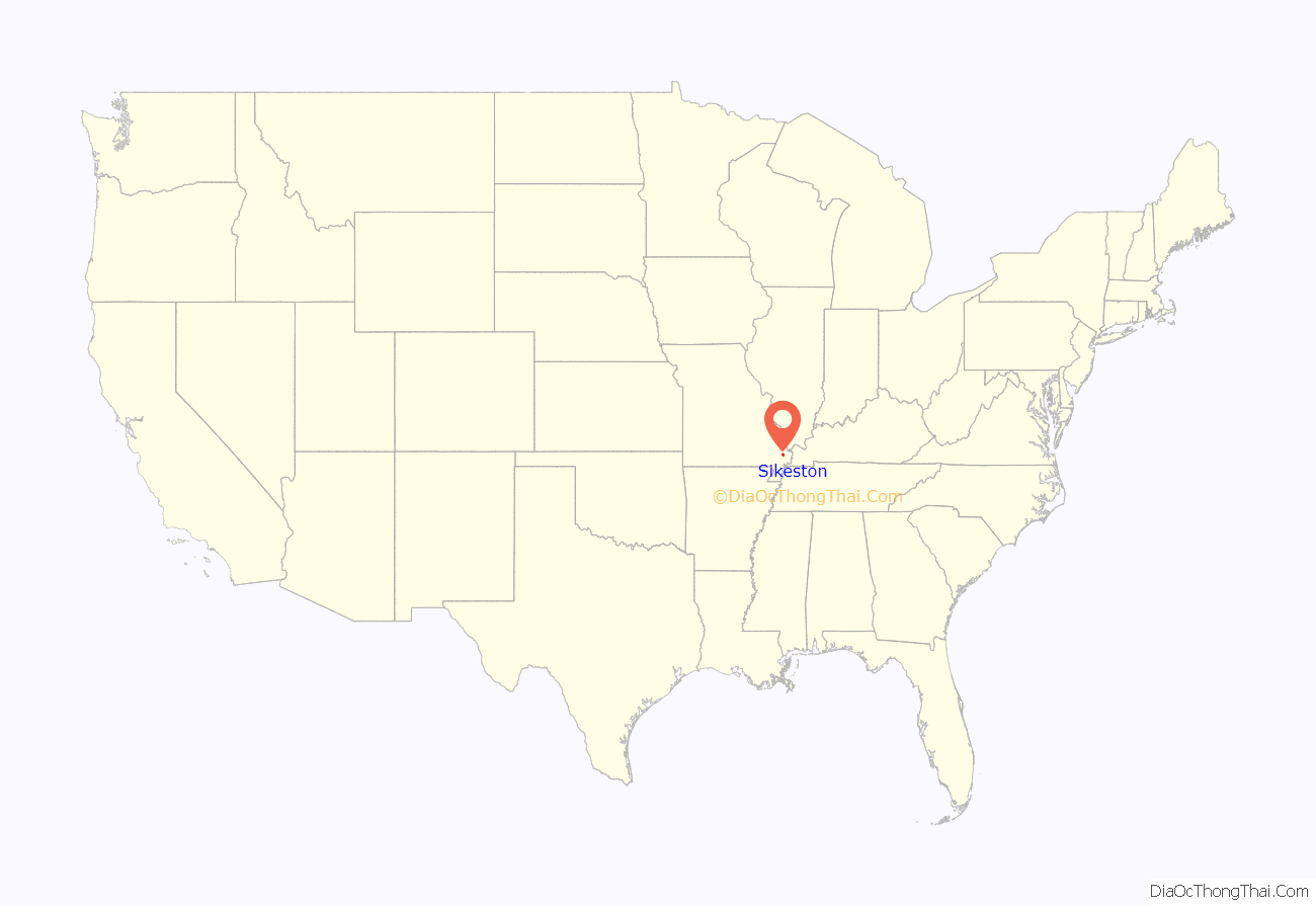
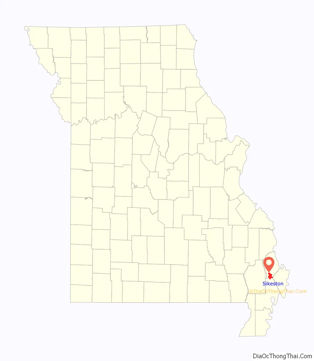
Sikeston location map. Where is Sikeston city?
History
The first explorers and settlers came to a region of cypress swamps and forested prairies. At the beginning of the 20th century, the Little River Drainage District was formed to reclaim the land. This was the world’s largest drainage project, moving more earth than completed during the construction of the Panama Canal.
In 1541, Spanish explorer Hernando de Soto may have stood upon the Sikeston Ridge, although some historical references dispute this, believing that he traveled further south than Sikeston. The area was claimed by the French as part of La Louisiane, and they ceded it in 1763 to the Spanish after being defeated by Britain in the Seven Years’ War. In 1789, by order of the King of Spain, an overland route was laid out to connect the cities of St. Louis and New Orleans. This frontier road was known as the El Camino Real or King’s Highway.
In 1803 the United States acquired this area under the Louisiana Purchase. More Americans began to settle west of the river. From December 16, 1811 to February 4, 1812, the area was struck by the 1811–12 New Madrid earthquakes (a series of more than 2,000 events). They are believed by some to have been the greatest in North American history.
The Hunter Memorial Cemetery, located on the grounds of the local Presbyterian Church, was established around 1812 after the New Madrid earthquake by Joseph Hunter II who served under George Rogers Clark during the Revolutionary War and on the Territorial Council for President Madison. In 1814, the village of Winchester was laid out about one-half a mile south of the future site of Sikeston. It was the seat of justice for New Madrid County, but after the county seat was moved in 1822 to New Madrid, Winchester became defunct and abandoned. The Winchester jail was completed in 1817 and was used until December 1821, when Scott County was organized.
The land for the city of Sikeston was first owned by Frenchman Francis Paquette. In 1829, the city site was acquired by the Stallcup family. In 1859, city founder John Sikes, who had married into the Stallcup family, gained control of the land. In April 1860, he had the city platted in anticipation of the completion of the Cairo and Fulton Railroad, which would intersect with the King’s Highway. In the city of New Madrid, the street was known as Big Prairie Road, and later as Sikeston Road after the city of Sikeston was established.
Today Kingshighway, also known as Business U.S. Highway 61, serves Sikeston as a primary north–south street. It is lined with businesses and older historic homes. Sikeston’s downtown area includes Malone Park, the city’s oldest park, and the historic First Methodist Church columns. These six pillars are all that remain of the 1879 church which was destroyed in 1968 by fire.
The first house in Sikeston is believed to have been located at 318 Baker Lane. The “Baker House” was probably built in 1855, about five years before the town was founded. One of the early inhabitants of this house was Lee Hunter, after whom one of the elementary schools is named. The house once had a large barn, located on the site where Lee Hunter school was later built. The Baker family moved into the house in 1888 and purchased it from the Hunter family in the early 1950s.
Civil War era
Although Sikeston was a small village during the Civil War, its position at the railroad and highway intersection gave it strategic significance. Around July 1861, Confederate forces of Brigadier General Gideon Johnson Pillow planned to link up with units commanded by Sterling Price and Benjamin McCulloch for an advance on St. Louis, using the Sikeston-area road of Kingshighway. In preparation for this advance, Confederate General Jeff Thompson gathered Missouri state troops and irregulars near Sikeston; he robbed a bank in nearby Charleston to pay men and buy arms and supplies. Legend has it that he hid part of his money in Sikeston under one of the oak trees at the corner of New Madrid Street and Kingshighway.
In the fall of 1861, General Pillow pushed a column of troops from New Madrid towards Sikeston and Cape Girardeau. On October 4, Confederate General Jeff Thompson reached Sikeston, planning to strike Cape Girardeau; however, his manpower was limited, and he decided to retreat into the swamps off to the west. On November 3, from Cairo, Illinois, US Brigadier General Ulysses S. Grant wrote a letter to Colonel Richard J. Oglesby, commander of the Union Headquarters District Southeast Missouri at Bird’s Point, ordering his troops to “strike for Sikeston” from the Mississippi River town of Commerce. Brigadier General Benjamin Prentiss and Colonel W. H. L. Wallace also converged in the Sikeston area in preparation of Grant’s attack at the Battle of Belmont.
In 1862, Sikeston was used as a transportation connection as Union Brigadier General Pope sent his artillery across the river to Commerce, Missouri, to be sent by rail to Sikeston for cart transportation to New Madrid, in preparation for the Battle of Island Number Ten. On February 28, 1862, Pope left Commerce with his army of 12,000, arriving in Sikeston on March 2. US Colonel William Pitt Kellogg, future governor of Louisiana, commanding the 7th Illinois cavalry, was the first to encounter the rebel sabotage of recently burned bridges and other obstructions. The federals were attacked just south of Sikeston by a small group of rebels led by General Thompson (he was called the Swamp Fox, a nickname after the Revolutionary War Brigadier General Francis Marion). Thompson commanded a detachment of 85 horsemen and four to six experimental cannons that had been manufactured in Memphis. Seeing that Colonel James Morgan’s Illinois troops were reinforced by Brigadier General Schuyler Hamilton’s 2nd Division, Thompson fled.
Entering the area from Bird’s Point, Brigadier General Eleazor Arthur Paine, commander of the 4th Division of Army of the Mississippi, repaired the railroad and telegraph lines and used troops from Illinois to form a garrison for Sikeston, Bertrand, and Charleston. War records indicate that on March 31, 1862, there were six Union officers and 143 Union soldiers present in Sikeston. On September 22, 1864, during Price’s Raid, a Confederate force of 1,500 men near Sikeston, under the command of Colonel William Lafayette Jeffers, attacked Captain Lewis Sells’ company of Union soldiers who were moving from Cape Girardeau to reinforce two companies of soldiers in Bloomfield.
Post Civil War era
One of the first rail lines west of the Mississippi River ran to Sikeston, and it was the terminus of the Cairo and Fulton Railroad until 1872. By 1900, Sikeston had a population of 1,100, and two drainage ditches had been completed. By this time, the city had two banks, two newspapers, and three hotels. One of the hotels built between 1895 and 1898 was a three-story brick hotel later known as the Marshall-Dunn Hotel. It is listed on the National Register of Historic Places. Prominent individuals who stayed at this hotel included Harry S. Truman, Alben W. Barkley, and Tom Pendergast.
World Wars era
During World War I, an infantry company was organized in Sikeston on August 25, 1917 until the spring of 1919. Company K became part of the 140th Infantry, 70th Brigade, U.S. 35th Infantry Division and fought in the Meuse-Argonne Offensive. It also served as part of the occupation force of Europe. In 1920, American Legion Post 114 was chartered for the community of Sikeston and named after Henry Meldrun, a Sikeston native who was killed in Europe during World War I. Between the two world wars, Company K was reorganized. The company helped secure rail centers during the railroad workers’ strike of 1922, helped out with the aftermath of the Poplar Bluff tornado of May 1927, and worked on the Mississippi River levees during the floods of 1927 and 1937. In 1941, Company K was sent to Camp Joseph T. Robinson, near Little Rock, where they drilled for eight months.
The Sikeston Memorial Municipal Airport was built in the 1930s, opening in July 1934. From 1940 until 1944, it was known as Harvey Parks Airport. Long barrack-style buildings were constructed to hold the Missouri Institute of Aeronautics, established after General Hap Arnold asked flight training operations to triple their enrollments. The first U.S. Army Air Corps inspection officials arrived in July 1940 with the first flight cadet arriving that September. In June 1940, a home at West Gladys and New Madrid streets was transformed into a district infirmary in coordination with the building of the new air barracks. World War II flying aces Robert S. Johnson and Harold E. Comstock trained at this location. The original gated entrance to Harvey Parks Airport now serves as the entrance to the city’s Veterans Park.
During World War II, local National Guard unit Company K was assigned to the Western Defense Command in California. Sikeston-area students helped raise money to have three B-25 bombers named the Spirit of Sikeston, The Sikeston Bulldog, and one other. These three planes were supposedly used in the Doolittle Raid, during which they went down and are at the bottom of the Pacific between Japan and China. The local International Shoe Company factory had a contract for a major shoe order for the US Army during the war.
In the early hours of Sunday, January 25, 1942, a Black man named Cleo Wright was arrested on charges of allegedly assaulting a white woman. Mr. Wright was shot several times by a city night marshal during his arrest, but the local hospital refused to admit him for treatment due to his race. Police initially brought the ailing Mr. Wright to his home to die, but later returned him to the city jail, where a white mob abducted and lynched him. No one was brought to justice for this crime.
Post World War era
Following World War II, Miner was founded as the next city. The city was first known as Minner, in honor of one of the original residing landowners. However, the name was altered when the railroad inadvertently omitted an “n” from the switching station, renaming it Miner Switch. In 1951, the city became incorporated due to modern-day pioneer William Howard McGill.
In 2000, the remains of Mason Yarbrough, a Sikeston native and World War II marine, were found in the Pacific area on Makin Island and returned to his hometown for a military funeral. The George E. Day Parkway is named for Medal of Honor recipient Colonel George E. “Bud” Day, an F-100 Super Sabre pilot who is the only known American POW to escape into South Vietnam. He was later recaptured and sent to the Hanoi Hilton.
Sikeston is home to the Missouri National Guard unit Company C 1140th Engineer Battalion, which took part in Operation Iraqi Freedom from February 2004 until February 2005. Company C has been restructured from an engineering unit to a detachment of the 1221st Transportation Company, headquartered in Dexter, Missouri.
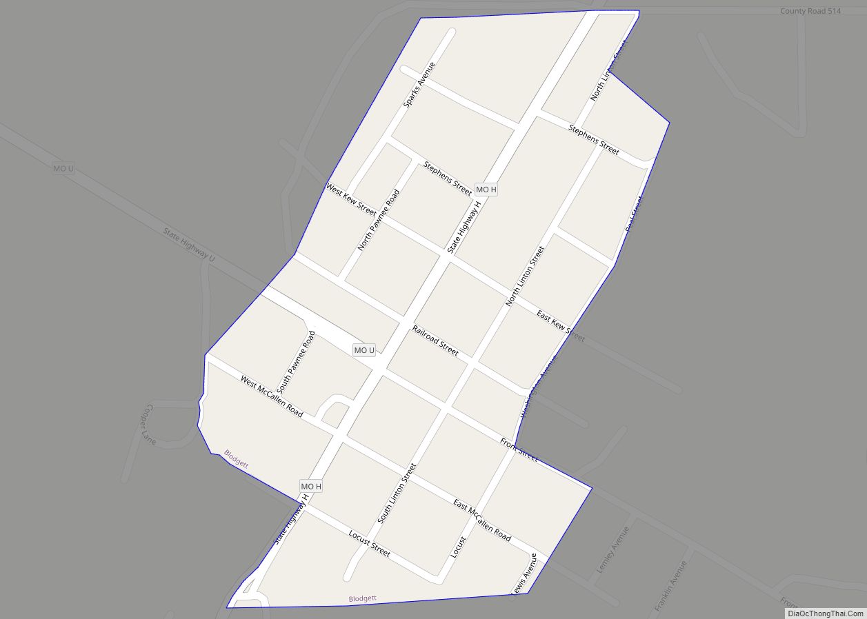
Sikeston Road Map

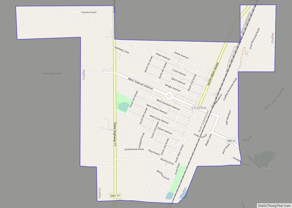
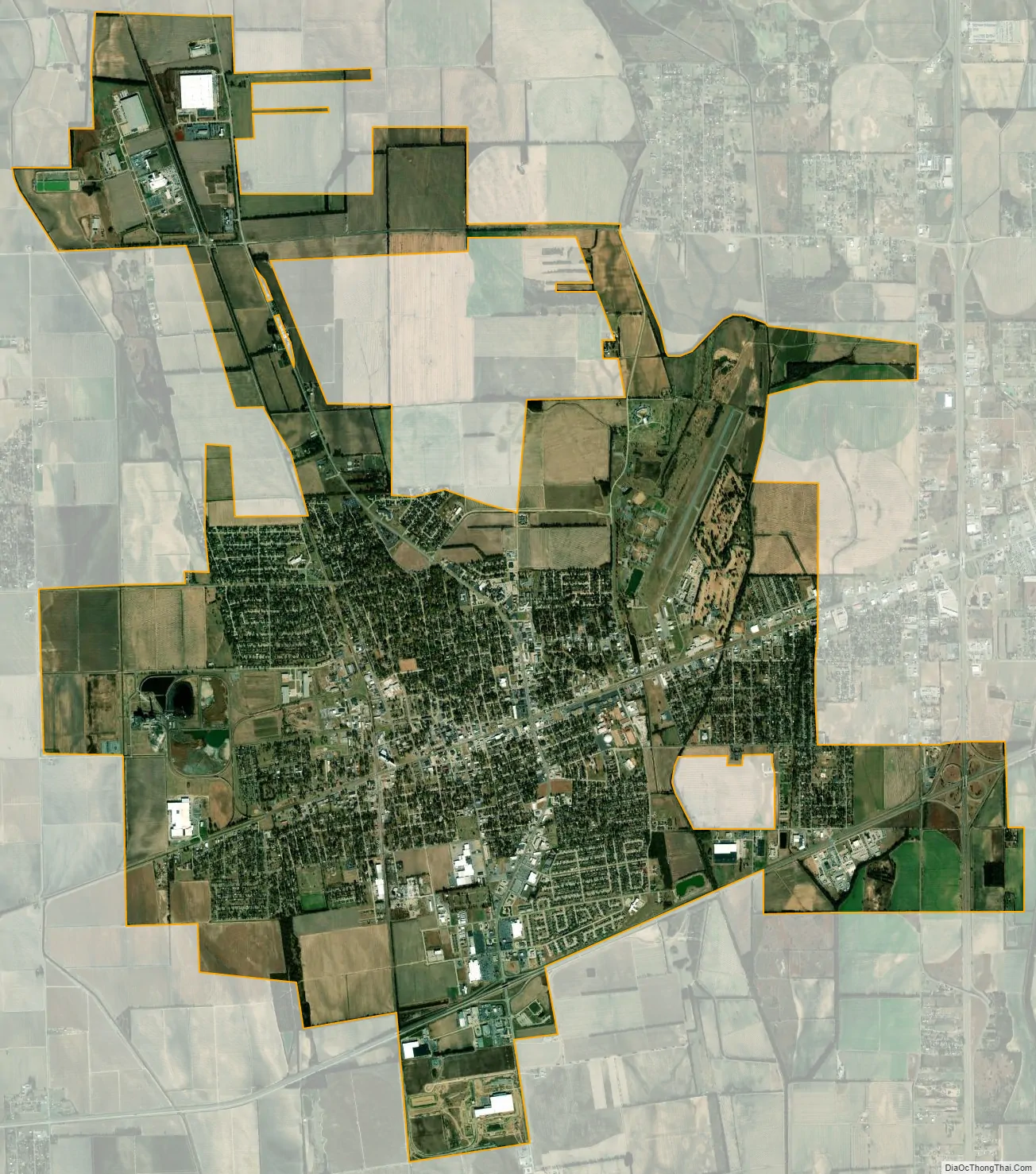
Sikeston city Satellite Map
Geography
The city is situated upon the Sikeston Ridge which runs north and south from 10 miles (16 km) north of Sikeston through New Madrid. Prior to 1927, the New Madrid-Sikeston Ridge Levee was constructed to protect the area from flooding from the Mississippi River. In the 1920s, the Little River Drainage District was formed to drain the low land area west of the Sikeston Ridge. By 1931, the levee construction had created the New Madrid floodway.
According to the United States Census Bureau, the city has a total area of 17.48 square miles (45.27 km), of which 17.32 square miles (44.86 km) is land and 0.16 square miles (0.41 km) is water.
Weather events
On May 15, 1986, a tornado hit the city of Sikeston and destroyed about 100 homes, prompting Governor John Ashcroft to visit and call on the National Guard for assistance. On the same day, the nearby community of Vanduser was also hit by a tornado while storms precipitated flooding to the north in Cape Girardeau. [1]
Sikeston and the surrounding area were hit by the January 2009 Central Plains and Midwest ice storm. This storm knocked out electrical service to large parts of the city for several days and damaged a large percentage of the trees, making this event the worst natural disaster to hit the city since at least the 1986 tornado. Restoration of city electrical power was delayed as a circuit breaker at the Coleman Substation had exploded on January 21 just before the ice storm hit. Governor Jay Nixon surveyed the fog-covered damage by helicopter and visited the Sikeston Field House which was being used as a shelter.
Climate
See also
Map of Missouri State and its subdivision:- Adair
- Andrew
- Atchison
- Audrain
- Barry
- Barton
- Bates
- Benton
- Bollinger
- Boone
- Buchanan
- Butler
- Caldwell
- Callaway
- Camden
- Cape Girardeau
- Carroll
- Carter
- Cass
- Cedar
- Chariton
- Christian
- Clark
- Clay
- Clinton
- Cole
- Cooper
- Crawford
- Dade
- Dallas
- Daviess
- De Kalb
- Dent
- Douglas
- Dunklin
- Franklin
- Gasconade
- Gentry
- Greene
- Grundy
- Harrison
- Henry
- Hickory
- Holt
- Howard
- Howell
- Iron
- Jackson
- Jasper
- Jefferson
- Johnson
- Knox
- Laclede
- Lafayette
- Lawrence
- Lewis
- Lincoln
- Linn
- Livingston
- Macon
- Madison
- Maries
- Marion
- McDonald
- Mercer
- Miller
- Mississippi
- Moniteau
- Monroe
- Montgomery
- Morgan
- New Madrid
- Newton
- Nodaway
- Oregon
- Osage
- Ozark
- Pemiscot
- Perry
- Pettis
- Phelps
- Pike
- Platte
- Polk
- Pulaski
- Putnam
- Ralls
- Randolph
- Ray
- Reynolds
- Ripley
- Saint Charles
- Saint Clair
- Saint Francois
- Saint Louis
- Sainte Genevieve
- Saline
- Schuyler
- Scotland
- Scott
- Shannon
- Shelby
- Stoddard
- Stone
- Sullivan
- Taney
- Texas
- Vernon
- Warren
- Washington
- Wayne
- Webster
- Worth
- Wright
- Alabama
- Alaska
- Arizona
- Arkansas
- California
- Colorado
- Connecticut
- Delaware
- District of Columbia
- Florida
- Georgia
- Hawaii
- Idaho
- Illinois
- Indiana
- Iowa
- Kansas
- Kentucky
- Louisiana
- Maine
- Maryland
- Massachusetts
- Michigan
- Minnesota
- Mississippi
- Missouri
- Montana
- Nebraska
- Nevada
- New Hampshire
- New Jersey
- New Mexico
- New York
- North Carolina
- North Dakota
- Ohio
- Oklahoma
- Oregon
- Pennsylvania
- Rhode Island
- South Carolina
- South Dakota
- Tennessee
- Texas
- Utah
- Vermont
- Virginia
- Washington
- West Virginia
- Wisconsin
- Wyoming