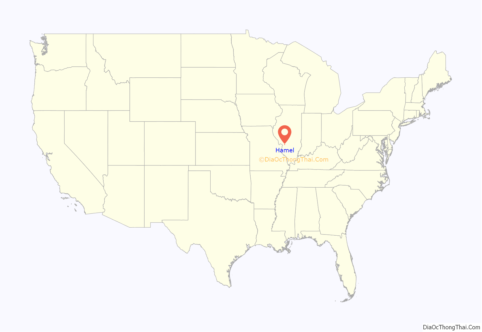
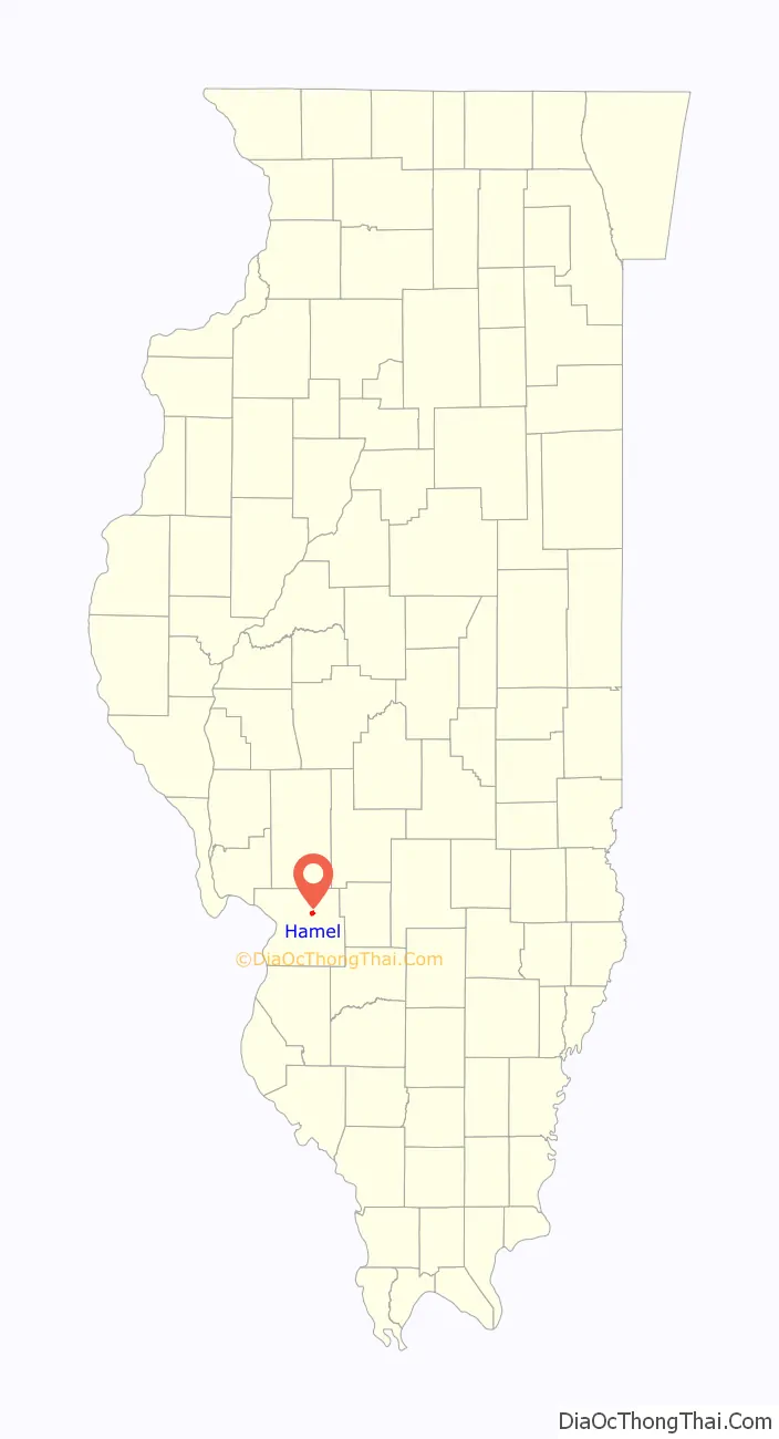
Hamel is a village in Madison County, Illinois, United States. The population was 929 at the 2020 census, up from 816 in 2010. It is a part of the Illinois Metro East portion of the Greater St. Louis metropolitan area.
| Name: | Hamel village |
|---|---|
| LSAD Code: | 47 |
| LSAD Description: | village (suffix) |
| State: | Illinois |
| County: | Madison County |
| Elevation: | 548 ft (167 m) |
| Total Area: | 1.20 sq mi (3.10 km²) |
| Land Area: | 1.19 sq mi (3.08 km²) |
| Water Area: | 0.01 sq mi (0.02 km²) |
| Total Population: | 929 |
| Population Density: | 780.67/sq mi (301.49/km²) |
| ZIP code: | 62046 |
| Area code: | 618 |
| FIPS code: | 1732408 |
| GNISfeature ID: | 2398229 |
| Website: | www.villageofhamel.com |
Online Interactive Map
Click on ![]() to view map in "full screen" mode.
to view map in "full screen" mode.
Hamel location map. Where is Hamel village?
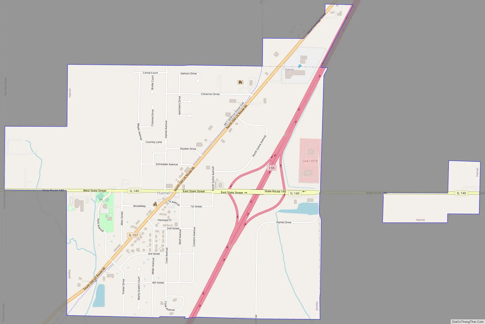
Hamel Road Map
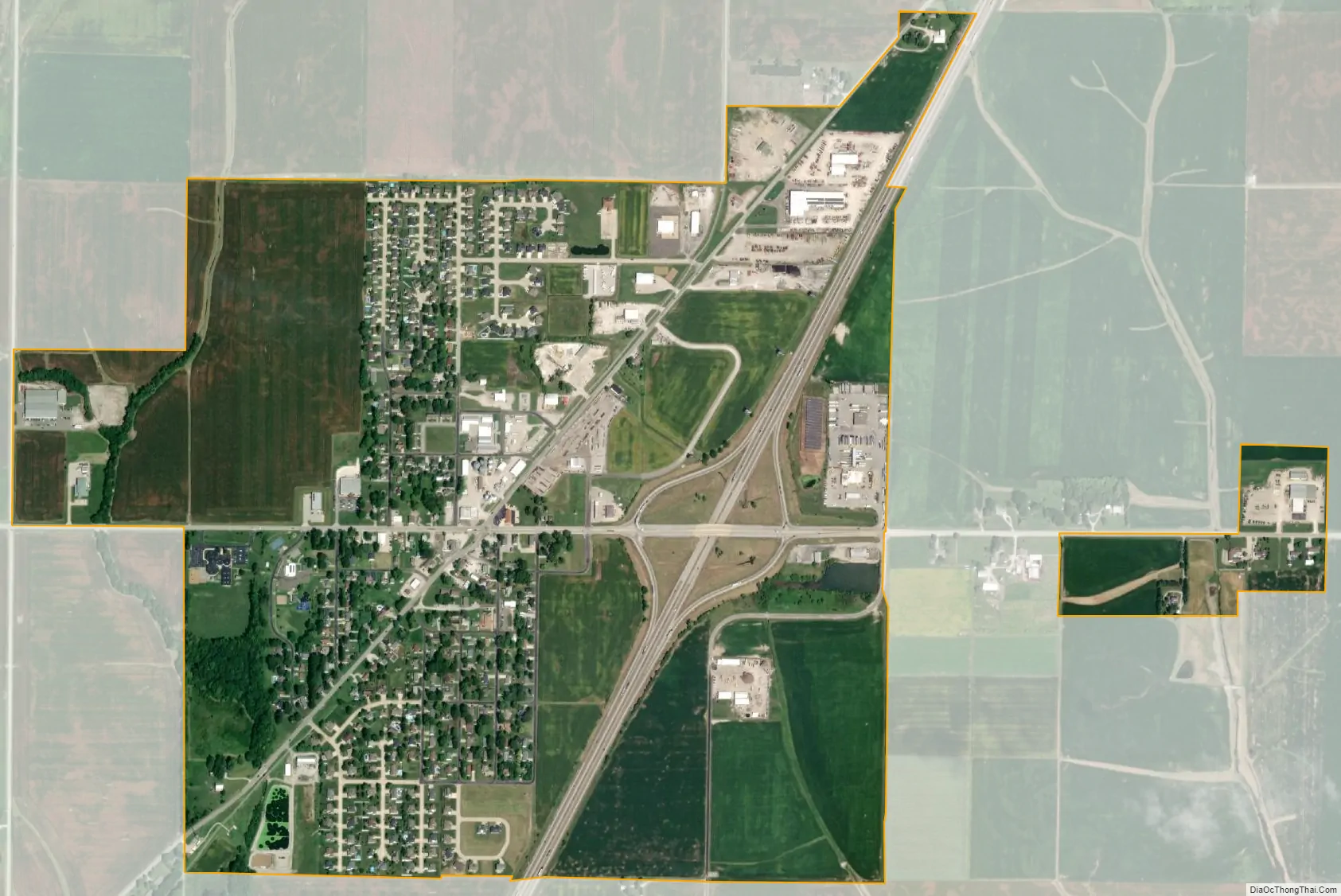
Hamel city Satellite Map
Geography
Hamel is located in northeastern Madison County at 38°53′15″N 89°50′38″W / 38.88750°N 89.84389°W / 38.88750; -89.84389 (38.887524, -89.843949). Interstate 55 passes through the east side of the village, leading southwest 30 miles (48 km) to St. Louis and north 65 miles (105 km) to Springfield, the Illinois capital. Illinois Route 140 passes through the center of Hamel as State Street, leading east 23 miles (37 km) to Greenville and west 19 miles (31 km) to Alton.
According to the U.S. Census Bureau, Hamel has a total area of 1.20 square miles (3.11 km), of which 0.01 square miles (0.03 km), or 0.75%, are water. Hamel is drained to the south by tributaries of Silver Creek, a south-flowing tributary of the Kaskaskia River.
See also
Map of Illinois State and its subdivision:- Adams
- Alexander
- Bond
- Boone
- Brown
- Bureau
- Calhoun
- Carroll
- Cass
- Champaign
- Christian
- Clark
- Clay
- Clinton
- Coles
- Cook
- Crawford
- Cumberland
- De Kalb
- De Witt
- Douglas
- Dupage
- Edgar
- Edwards
- Effingham
- Fayette
- Ford
- Franklin
- Fulton
- Gallatin
- Greene
- Grundy
- Hamilton
- Hancock
- Hardin
- Henderson
- Henry
- Iroquois
- Jackson
- Jasper
- Jefferson
- Jersey
- Jo Daviess
- Johnson
- Kane
- Kankakee
- Kendall
- Knox
- La Salle
- Lake
- Lake Michigan
- Lawrence
- Lee
- Livingston
- Logan
- Macon
- Macoupin
- Madison
- Marion
- Marshall
- Mason
- Massac
- McDonough
- McHenry
- McLean
- Menard
- Mercer
- Monroe
- Montgomery
- Morgan
- Moultrie
- Ogle
- Peoria
- Perry
- Piatt
- Pike
- Pope
- Pulaski
- Putnam
- Randolph
- Richland
- Rock Island
- Saint Clair
- Saline
- Sangamon
- Schuyler
- Scott
- Shelby
- Stark
- Stephenson
- Tazewell
- Union
- Vermilion
- Wabash
- Warren
- Washington
- Wayne
- White
- Whiteside
- Will
- Williamson
- Winnebago
- Woodford
- Alabama
- Alaska
- Arizona
- Arkansas
- California
- Colorado
- Connecticut
- Delaware
- District of Columbia
- Florida
- Georgia
- Hawaii
- Idaho
- Illinois
- Indiana
- Iowa
- Kansas
- Kentucky
- Louisiana
- Maine
- Maryland
- Massachusetts
- Michigan
- Minnesota
- Mississippi
- Missouri
- Montana
- Nebraska
- Nevada
- New Hampshire
- New Jersey
- New Mexico
- New York
- North Carolina
- North Dakota
- Ohio
- Oklahoma
- Oregon
- Pennsylvania
- Rhode Island
- South Carolina
- South Dakota
- Tennessee
- Texas
- Utah
- Vermont
- Virginia
- Washington
- West Virginia
- Wisconsin
- Wyoming


