Lebanon is a city in St. Clair County, Illinois, United States. The population was 4,418 at the 2010 census and had decreased to an estimated 4,256 as of 2018. Like many other places in “Little Egypt” or Southern Illinois, Lebanon was named after the Eastern Mediterranean country of the same name. It is a part of the Metro-East region of the Greater St. Louis metropolitan area.
Lebanon is home to McKendree University, the oldest college in Illinois.
| Name: | Lebanon city |
|---|---|
| LSAD Code: | 25 |
| LSAD Description: | city (suffix) |
| State: | Illinois |
| County: | St. Clair County |
| Elevation: | 459 ft (140 m) |
| Total Area: | 2.70 sq mi (7.00 km²) |
| Land Area: | 2.69 sq mi (6.98 km²) |
| Water Area: | 0.01 sq mi (0.02 km²) |
| Total Population: | 4,691 |
| Population Density: | 1,740.63/sq mi (672.09/km²) |
| Area code: | 618 |
| FIPS code: | 1742496 |
| GNISfeature ID: | 2395663 |
| Website: | www.lebanonil.org/city |
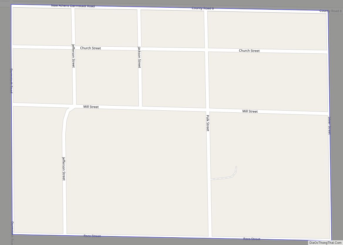
Online Interactive Map
Click on ![]() to view map in "full screen" mode.
to view map in "full screen" mode.
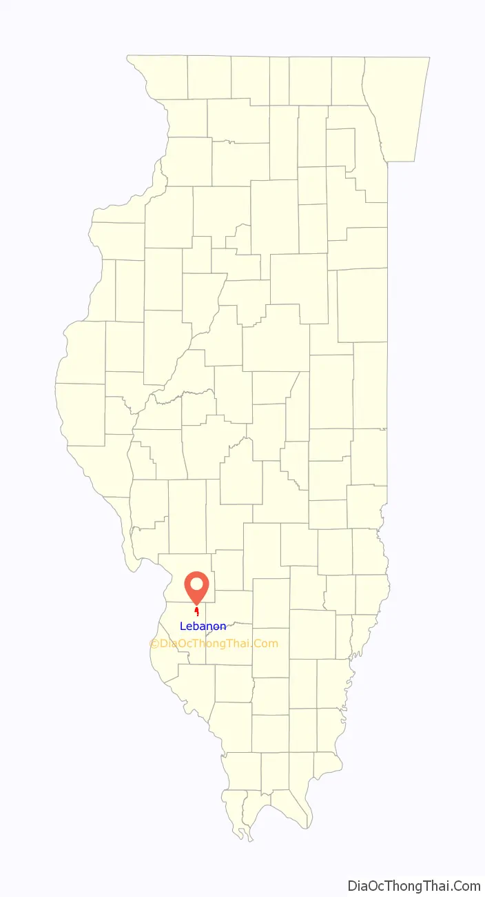
Lebanon location map. Where is Lebanon city?

Lebanon Road Map
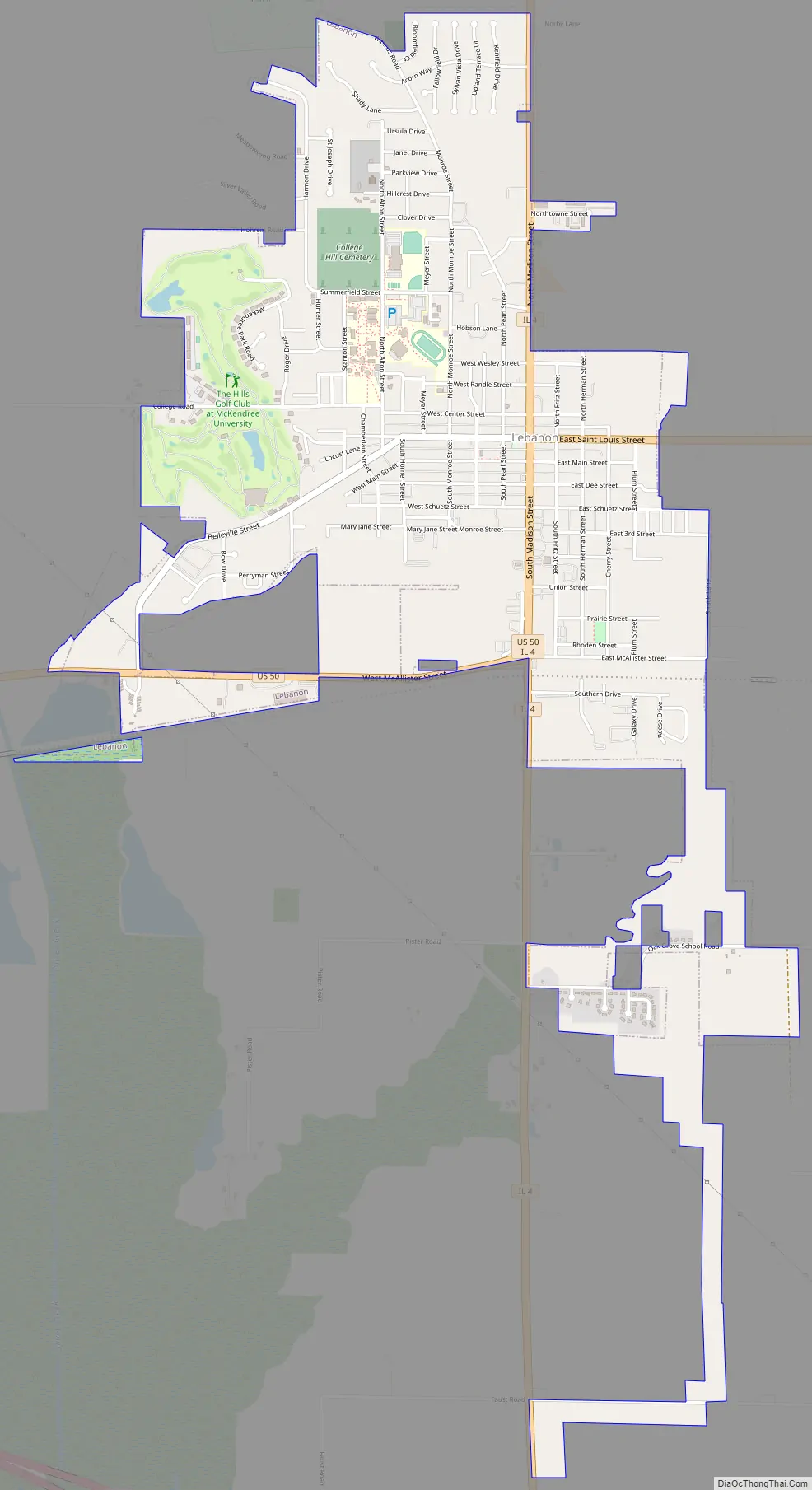
Lebanon city Satellite Map

Geography
Lebanon is located at 38°36′12″N 89°48′41″W / 38.60333°N 89.81139°W / 38.60333; -89.81139 (38.603398, -89.811271).
According to the 2010 census, Lebanon has a total area of 2.474 square miles (6.41 km), of which 2.46 square miles (6.37 km) (or 99.43%) is land and 0.014 square miles (0.04 km) (or 0.57%) is water.
See also
Map of Illinois State and its subdivision:- Adams
- Alexander
- Bond
- Boone
- Brown
- Bureau
- Calhoun
- Carroll
- Cass
- Champaign
- Christian
- Clark
- Clay
- Clinton
- Coles
- Cook
- Crawford
- Cumberland
- De Kalb
- De Witt
- Douglas
- Dupage
- Edgar
- Edwards
- Effingham
- Fayette
- Ford
- Franklin
- Fulton
- Gallatin
- Greene
- Grundy
- Hamilton
- Hancock
- Hardin
- Henderson
- Henry
- Iroquois
- Jackson
- Jasper
- Jefferson
- Jersey
- Jo Daviess
- Johnson
- Kane
- Kankakee
- Kendall
- Knox
- La Salle
- Lake
- Lake Michigan
- Lawrence
- Lee
- Livingston
- Logan
- Macon
- Macoupin
- Madison
- Marion
- Marshall
- Mason
- Massac
- McDonough
- McHenry
- McLean
- Menard
- Mercer
- Monroe
- Montgomery
- Morgan
- Moultrie
- Ogle
- Peoria
- Perry
- Piatt
- Pike
- Pope
- Pulaski
- Putnam
- Randolph
- Richland
- Rock Island
- Saint Clair
- Saline
- Sangamon
- Schuyler
- Scott
- Shelby
- Stark
- Stephenson
- Tazewell
- Union
- Vermilion
- Wabash
- Warren
- Washington
- Wayne
- White
- Whiteside
- Will
- Williamson
- Winnebago
- Woodford
- Alabama
- Alaska
- Arizona
- Arkansas
- California
- Colorado
- Connecticut
- Delaware
- District of Columbia
- Florida
- Georgia
- Hawaii
- Idaho
- Illinois
- Indiana
- Iowa
- Kansas
- Kentucky
- Louisiana
- Maine
- Maryland
- Massachusetts
- Michigan
- Minnesota
- Mississippi
- Missouri
- Montana
- Nebraska
- Nevada
- New Hampshire
- New Jersey
- New Mexico
- New York
- North Carolina
- North Dakota
- Ohio
- Oklahoma
- Oregon
- Pennsylvania
- Rhode Island
- South Carolina
- South Dakota
- Tennessee
- Texas
- Utah
- Vermont
- Virginia
- Washington
- West Virginia
- Wisconsin
- Wyoming