Lincolnshire is a village in Vernon Township, Lake County, in the U.S. state of Illinois. The village is a northern suburb of Chicago. Per the 2020 census, the population was 7,940. Lincolnshire was incorporated on August 5, 1957, from the unincorporated Half Day area when land was purchased to build a residential subdivision. The community underwent an aggressive era of expansion from 1983 to the 1990s. The Des Plaines River bisects the village, passing from north to south; Illinois Route 22 also divides the village into two parts, crossing the village from east to west.
Lincolnshire is home to the public Adlai E. Stevenson High School, as well as Laura B. Sprague and Half Day elementary schools and Daniel Wright Junior High School which compose Lincolnshire-Prairie View School District 103. Many global corporations are located in Lincolnshire, including Aon Hewitt, Zebra Technologies, CDW, and Sysmex, generating a daytime population of over 20,000 people. The Village of Lincolnshire and other entities host several popular annual events, including Fourth of July celebration, Art Festival, Heroes Night, and Boo Bash. The Village maintains a Police Department that closely collaborates with its local school districts. Lincolnshire manages a public works system at the direct expense of the village; it retrieves all of its water from the city of Highland Park, which derives its water from adjacent Lake Michigan. The village has a council–manager government and is a home-rule municipality. The mayor of Lincolnshire is Elizabeth J. Brandt.
| Name: | Lincolnshire village |
|---|---|
| LSAD Code: | 47 |
| LSAD Description: | village (suffix) |
| State: | Illinois |
| County: | Lake County |
| Founded: | 1957 |
| Total Area: | 4.70 sq mi (12.16 km²) |
| Land Area: | 4.56 sq mi (11.80 km²) |
| Water Area: | 0.14 sq mi (0.36 km²) |
| Total Population: | 7,940 |
| Population Density: | 1,742.37/sq mi (672.68/km²) |
| FIPS code: | 1743666 |
| Website: | www.lincolnshireil.gov |
Online Interactive Map
Click on ![]() to view map in "full screen" mode.
to view map in "full screen" mode.
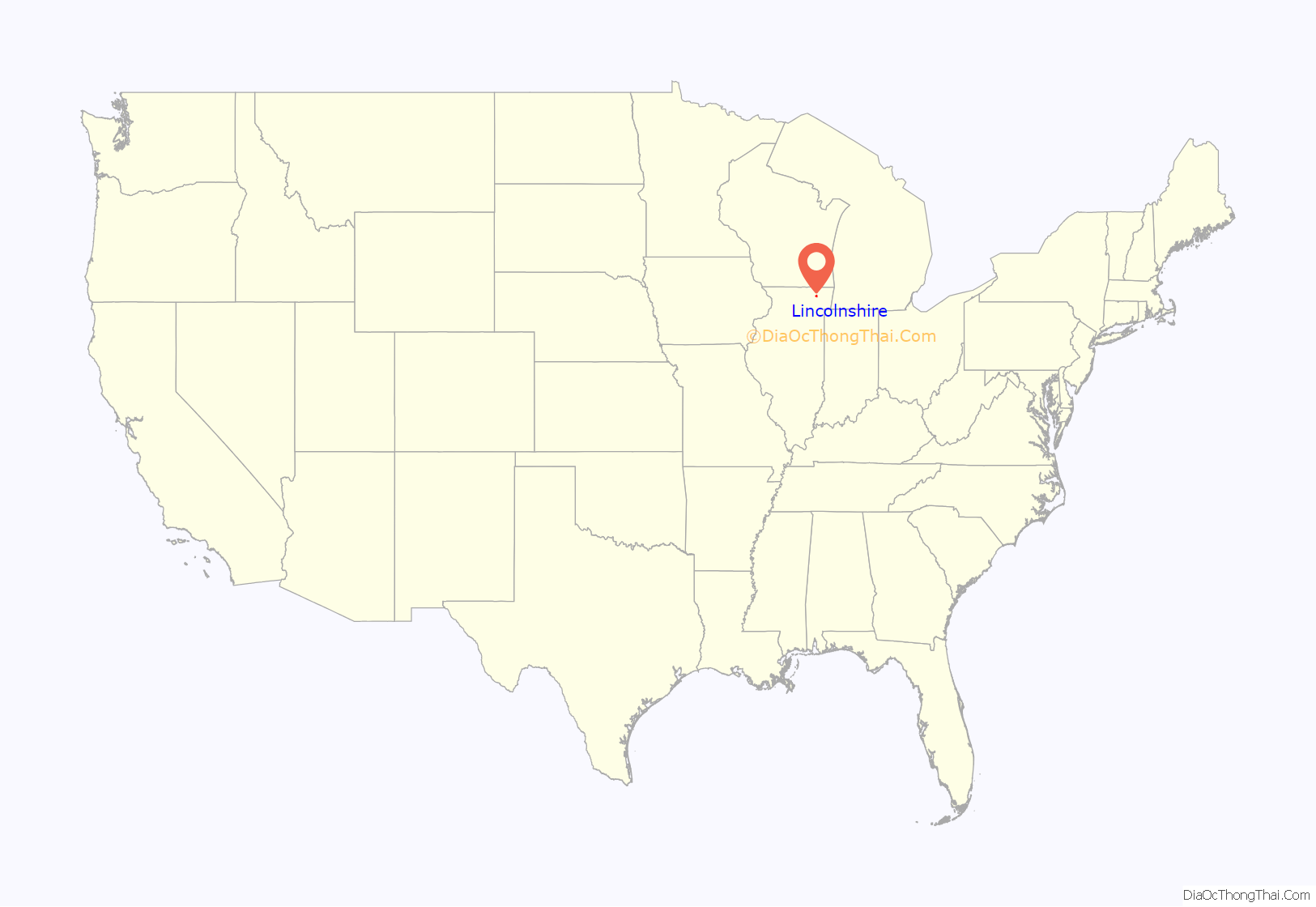
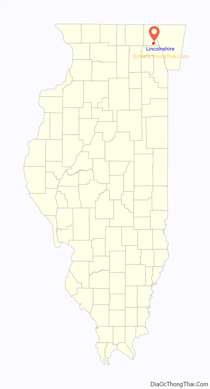
Lincolnshire location map. Where is Lincolnshire village?
History
Prior to incorporation
The first inhabitants of what would become the village of Lincolnshire were Native American Potawatomi migrants from Canada and Wisconsin. The tribesmen left these northern places in the 16th century in search of a warmer, more temperate climate. The first Europeans to visit the area were the French Jesuit explorers Father Jacques Marquette and Louis Jolliet. Shortly after arriving in 1673 at the site of what later became Waukegan, they sailed down the Des Plaines River and made contact with the local Potawatomi, who would dominate the area by 1768. One of the Potawatomi villages that they encountered stretched along the west bank of the Des Plaines River, from what later became Illinois Route 22 south to Aptakisic Road, the first real settlement in the Lincolnshire and Half Day region.
The Lincolnshire area was originally a part of the town of Half Day, the first region settled by non-Native American peoples in Lake County. The first white settler in the Lincolnshire area was Captain Daniel Wright, who arrived in 1834. Chief Halfda allowed Wright to build his cabin at the south end of the Potawatomi village at the site of the intersection of present-day Milwaukee Avenue and Aptakisic Road. The Potawatomi tribesmen were ousted and faced relocation through the 1833 Treaty of Chicago, which was ratified in 1835 and thereafter implemented.
The Half Day area experienced an economic boom with the arrival of new settlers during the two decades after Wright’s arrival. Among these pioneers were Seth Washburn, the first postmaster of the Vernon Township, who settled at the site of what later became the Lincolnshire-Prairie View School District 103’s Half Day Intermediate School, and Laura Sprague, the first teacher to reside in the area. By 1855, 21 years after the settling of the Half Day area by Wright, the town was a thriving community with a blacksmith’s shop, sawmill, country store, and a church. At this time, the Chicago and Milwaukee Railroad connected Milwaukee to the county seat of Waukegan, and it expanded throughout the Lake County area over the next few decades; this also contributed to the town’s prosperity. Henry Ford’s invention of the automobile in the early 20th century made Half Day a more accessible destination to other communities within the Chicago metropolitan area, and the village became a popular recreation area. This prompted the opening of many businesses, including an amusement park, a race track, a bowling alley, a dance hall, and taverns, that catered to visitors.
Incorporation and post-incorporation (1957– )
Vernon Township, which encompasses the village of Half Day, was carved up between wealthy farmers after the end of World War I. Edward Ryerson, Adlai E. Stevenson II, Samuel Insull, and Louis Leverone bought the majority of the territory within Vernon Township’s borders. Leverone, who had purchased the Half Day area, sold a tract of land to developer Roger Ladd and his eponymous company in 1955. The company organized a residential subdivision out of the ceded town of Half Day and christened it “Lincolnshire”, the precursor to the present-day village of the same name. However, life in the village was problematic, as the new subdivision was served by dirt roads and had neither a sufficient communal sanitation system nor a gas line. Lincolnshire’s police coverage was inefficient, as officers patrolling the area had to be dispatched from Waukegan, approximately 16 miles (26 km) to the north. As a result, the Cambridge Forest Association (CFA) was formed to lobby for improvement in the livelihoods of the people of Lincolnshire. With sponsorship from the Cambridge Forest Association, Lincolnshire was incorporated as a village on August 5, 1957. The CFA was later renamed the Lincolnshire Community Association; the entity continues to play a significant role in the political life of the village.
Lincolnshire’s government initially adhered to a conservative and cautious approach, and refused to annex two corporate park divisions in the 1980s. Opponents to the village government’s methods, however, won out in later years; supporting a quick growth to rival the increasing affluence of surrounding villages, they oversaw the cessions of the Marriott Lincolnshire Resort and Lincolnshire Corporate Center over a period of years following 1983. Lincolnshire also sought to annex the old remnants of the unincorporated community of Half Day from which it was created, but lost in a court battle with the village of Vernon Hills in 1994; the court case set the present-day border between the two villages, which lies along Route 22 up to its intersection with Milwaukee Avenue. To consolidate these new acquisitions, Lincolnshire set to work on a new village hall that was completed in 1993, and constructed a downtown area centered on the intersection of Aptakisic Road and Milwaukee Avenue; the village’s endeavors included commercial regions like the Lincolnshire Corporate Center, City Park, and the Lincolnshire Commons. These facilities were planned and constructed from the mid-1990s to the mid-2000s.
In 2005, Buffalo Grove and Lincolnshire reached a boundary agreement with respect to the allocation of properties surrounding and concerning the unincorporated Prairie View area, which lay in between the two Lake County villages. The acreage in question was divided equally between the two villages.
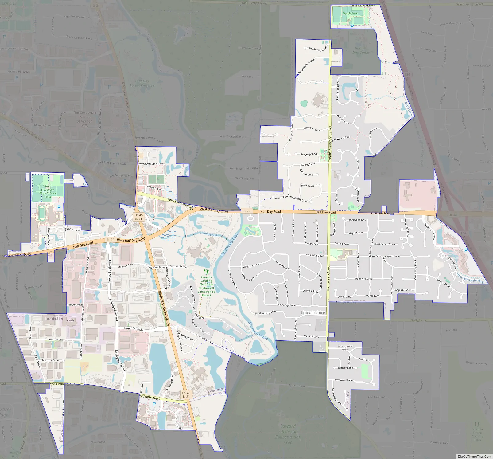
Lincolnshire Road Map
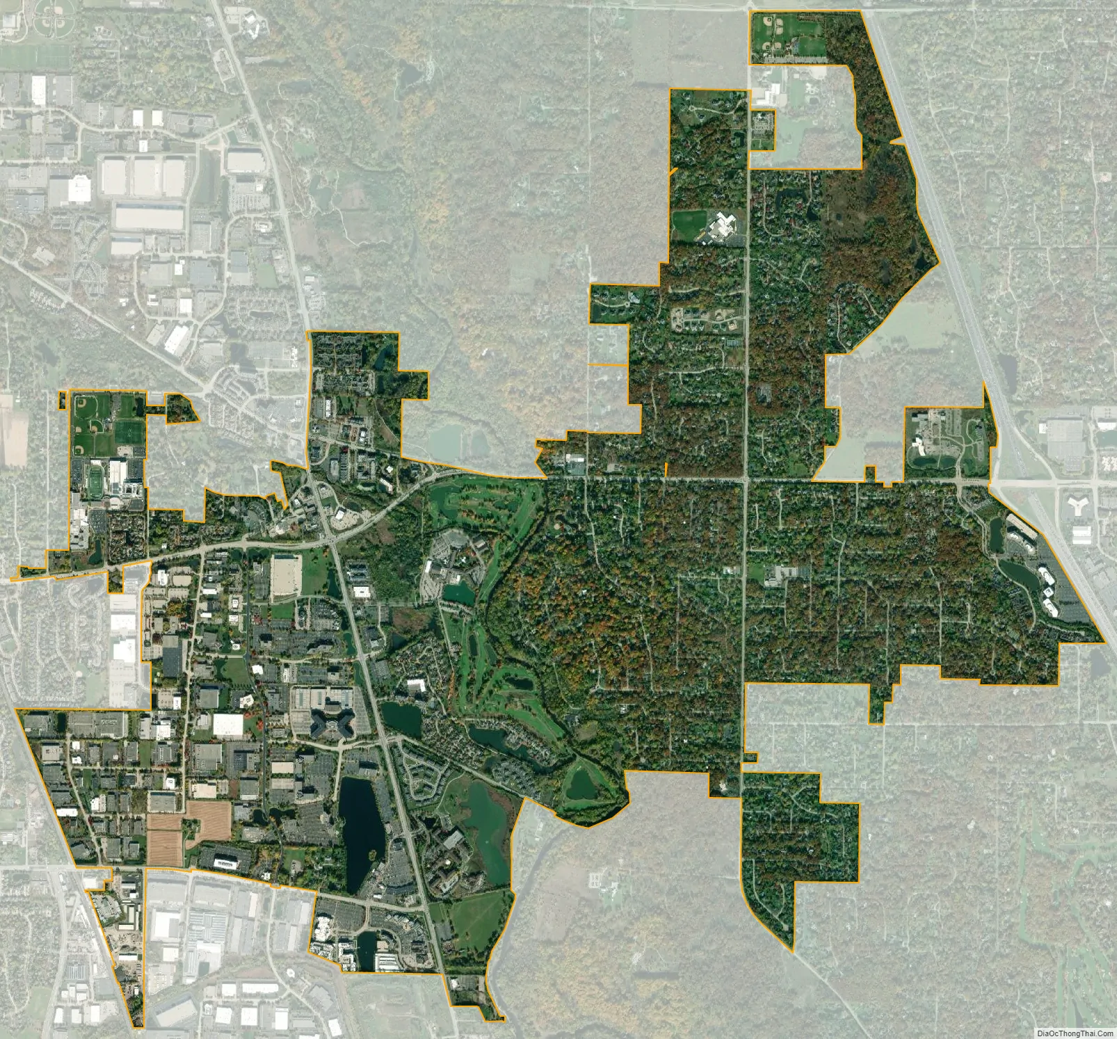
Lincolnshire city Satellite Map
Geography
Lincolnshire is located at 42°11′47″ North and 87°55′2″ West, and shares a border with the villages of Vernon Hills to the northwest, Buffalo Grove to the southwest, Bannockburn to the east, and Riverwoods to the southeast. The city of Lake Forest is located to the northeast of the village, while the unincorporated community of Prairie View borders the village directly to the west.
According to the 2010 census, Lincolnshire has a total area of 4.674 square miles (12.11 km), of which 4.58 square miles (11.86 km) (or 97.99%) is land and 0.094 square miles (0.24 km) (or 2.01%) is water.
The village of Lincolnshire is a suburb of the city of Chicago in the southern reaches of Lake County; like Chicago, Lincolnshire is located in the extreme northeastern region of the state of Illinois. The Des Plaines River meanders through the eastern part of the village, dividing the town in half vertically at the village hall, while Half Day Road (Illinois Route 22) splits the village in half in an east–west direction. Milwaukee Avenue (U.S. Route 45) runs in a north–south direction through Lincolnshire, into the village of Buffalo Grove to the south and Vernon Hills to the north.
Lincolnshire has been a Tree City USA every year since 1988. To maintain Lincolnshire’s foliage, the village passed the “Tree Preservation Ordinance”, a law that places tight restrictions on tree removal. As of 2008, the village was working towards the eradication of gypsy moths in its area.
Lincolnshire lies on the border of two Chicago-area watersheds: one pertaining to the Des Plaines River, and the other involving the nearby north fork of the Chicago River. This situation directly relates to the presence of the Des Plaines River in the village.
Climate
Due to its proximity to the city, Lincolnshire’s climate shares many of the same traits as Chicago. Lincolnshire lies in a humid continental climate zone and experiences four discernible seasons. Lincolnshire receives an average of 36.28 inches (922 mm) of precipitation each year.
See also
Map of Illinois State and its subdivision:- Adams
- Alexander
- Bond
- Boone
- Brown
- Bureau
- Calhoun
- Carroll
- Cass
- Champaign
- Christian
- Clark
- Clay
- Clinton
- Coles
- Cook
- Crawford
- Cumberland
- De Kalb
- De Witt
- Douglas
- Dupage
- Edgar
- Edwards
- Effingham
- Fayette
- Ford
- Franklin
- Fulton
- Gallatin
- Greene
- Grundy
- Hamilton
- Hancock
- Hardin
- Henderson
- Henry
- Iroquois
- Jackson
- Jasper
- Jefferson
- Jersey
- Jo Daviess
- Johnson
- Kane
- Kankakee
- Kendall
- Knox
- La Salle
- Lake
- Lake Michigan
- Lawrence
- Lee
- Livingston
- Logan
- Macon
- Macoupin
- Madison
- Marion
- Marshall
- Mason
- Massac
- McDonough
- McHenry
- McLean
- Menard
- Mercer
- Monroe
- Montgomery
- Morgan
- Moultrie
- Ogle
- Peoria
- Perry
- Piatt
- Pike
- Pope
- Pulaski
- Putnam
- Randolph
- Richland
- Rock Island
- Saint Clair
- Saline
- Sangamon
- Schuyler
- Scott
- Shelby
- Stark
- Stephenson
- Tazewell
- Union
- Vermilion
- Wabash
- Warren
- Washington
- Wayne
- White
- Whiteside
- Will
- Williamson
- Winnebago
- Woodford
- Alabama
- Alaska
- Arizona
- Arkansas
- California
- Colorado
- Connecticut
- Delaware
- District of Columbia
- Florida
- Georgia
- Hawaii
- Idaho
- Illinois
- Indiana
- Iowa
- Kansas
- Kentucky
- Louisiana
- Maine
- Maryland
- Massachusetts
- Michigan
- Minnesota
- Mississippi
- Missouri
- Montana
- Nebraska
- Nevada
- New Hampshire
- New Jersey
- New Mexico
- New York
- North Carolina
- North Dakota
- Ohio
- Oklahoma
- Oregon
- Pennsylvania
- Rhode Island
- South Carolina
- South Dakota
- Tennessee
- Texas
- Utah
- Vermont
- Virginia
- Washington
- West Virginia
- Wisconsin
- Wyoming


