Mitchell is an unincorporated community and census-designated place (CDP) in Madison County, Illinois, United States. As of the 2020 census, its population was 1,217. It is part of the Metro East region of greater St. Louis.
| Name: | Mitchell CDP |
|---|---|
| LSAD Code: | 57 |
| LSAD Description: | CDP (suffix) |
| State: | Illinois |
| County: | Madison County |
| Elevation: | 426 ft (130 m) |
| Total Area: | 0.559 sq mi (1.45 km²) |
| Land Area: | 0.559 sq mi (1.45 km²) |
| Water Area: | 0 sq mi (0 km²) |
| Total Population: | 1,217 |
| Population Density: | 2,200/sq mi (840/km²) |
| ZIP code: | 62040 |
| Area code: | 618 |
| FIPS code: | 1749698 |
Online Interactive Map
Click on ![]() to view map in "full screen" mode.
to view map in "full screen" mode.
Mitchell location map. Where is Mitchell CDP?
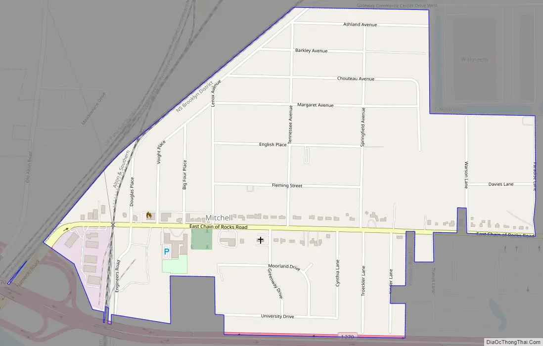
Mitchell Road Map
Mitchell city Satellite Map
Geography
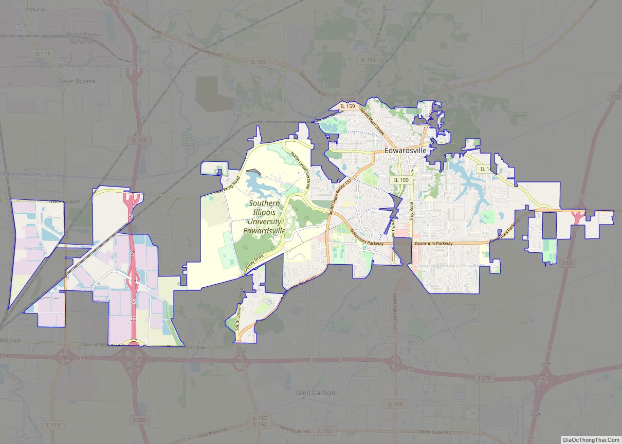
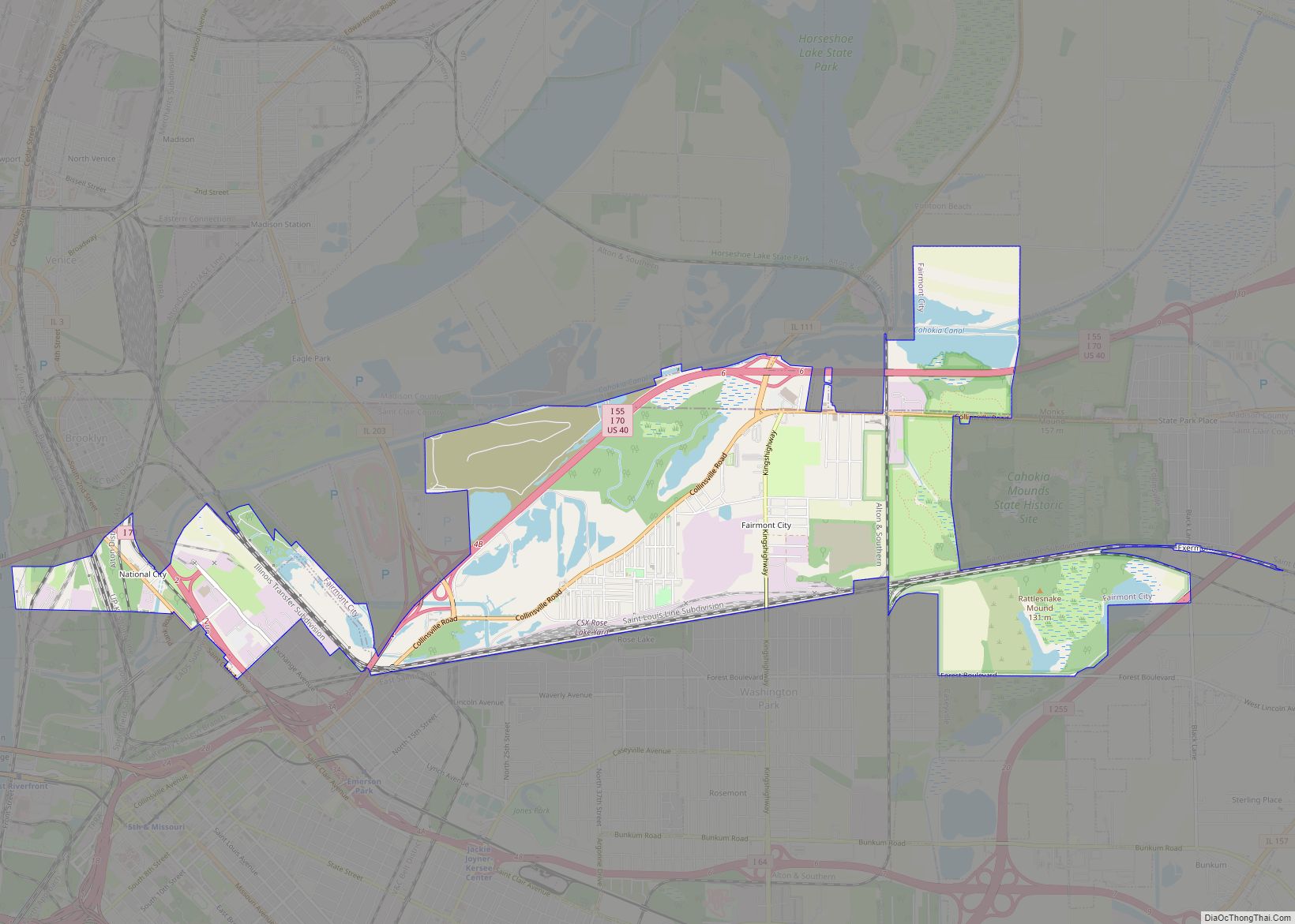
Mitchell is located in western Madison County at the junction of Interstate 270 and Illinois Route 203, part of former U.S. Route 66, approximately thirteen miles (21 km) northeast of downtown St. Louis. It is bordered to the south and east by Pontoon Beach, to the northeast by Edwardsville, and to the northwest by the unincorporated community of Brooks. Granite City is 6 miles (10 km) to the southwest via IL 203. A few years ago, Mitchell tried to become an independent city, but that vote was never allowed because of court challenges from nearby communities.
According to the U.S. Census Bureau, the Mitchell CDP has an area of 0.56 square miles (1.45 km), all land. The community sits on the Mississippi River floodplain, known in the region as American Bottom.
The lone school in the town is Mitchell Elementary School. Near town to the east is the Gateway Commercial Business Center, a place of trucking companies and more. Also located in Mitchell is the Luna Cafe, a historic landmark along old Route 66.
See also
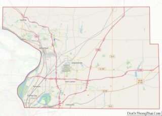
Map of Illinois State and its subdivision:- Adams
- Alexander
- Bond
- Boone
- Brown
- Bureau
- Calhoun
- Carroll
- Cass
- Champaign
- Christian
- Clark
- Clay
- Clinton
- Coles
- Cook
- Crawford
- Cumberland
- De Kalb
- De Witt
- Douglas
- Dupage
- Edgar
- Edwards
- Effingham
- Fayette
- Ford
- Franklin
- Fulton
- Gallatin
- Greene
- Grundy
- Hamilton
- Hancock
- Hardin
- Henderson
- Henry
- Iroquois
- Jackson
- Jasper
- Jefferson
- Jersey
- Jo Daviess
- Johnson
- Kane
- Kankakee
- Kendall
- Knox
- La Salle
- Lake
- Lake Michigan
- Lawrence
- Lee
- Livingston
- Logan
- Macon
- Macoupin
- Madison
- Marion
- Marshall
- Mason
- Massac
- McDonough
- McHenry
- McLean
- Menard
- Mercer
- Monroe
- Montgomery
- Morgan
- Moultrie
- Ogle
- Peoria
- Perry
- Piatt
- Pike
- Pope
- Pulaski
- Putnam
- Randolph
- Richland
- Rock Island
- Saint Clair
- Saline
- Sangamon
- Schuyler
- Scott
- Shelby
- Stark
- Stephenson
- Tazewell
- Union
- Vermilion
- Wabash
- Warren
- Washington
- Wayne
- White
- Whiteside
- Will
- Williamson
- Winnebago
- Woodford
- Alabama
- Alaska
- Arizona
- Arkansas
- California
- Colorado
- Connecticut
- Delaware
- District of Columbia
- Florida
- Georgia
- Hawaii
- Idaho
- Illinois
- Indiana
- Iowa
- Kansas
- Kentucky
- Louisiana
- Maine
- Maryland
- Massachusetts
- Michigan
- Minnesota
- Mississippi
- Missouri
- Montana
- Nebraska
- Nevada
- New Hampshire
- New Jersey
- New Mexico
- New York
- North Carolina
- North Dakota
- Ohio
- Oklahoma
- Oregon
- Pennsylvania
- Rhode Island
- South Carolina
- South Dakota
- Tennessee
- Texas
- Utah
- Vermont
- Virginia
- Washington
- West Virginia
- Wisconsin
- Wyoming


