Warsaw is a city in Hancock County, Illinois, United States. The population was 1,607 at the 2010 census, a decline from 1,793 in 2000. The city is notable for its historic downtown and the Warsaw Brewery, which operated for more than 100 years beginning in 1861 and, after renovation, reopened as a bar, restaurant and microbrewery in 2006.
| Name: | Warsaw city |
|---|---|
| LSAD Code: | 25 |
| LSAD Description: | city (suffix) |
| State: | Illinois |
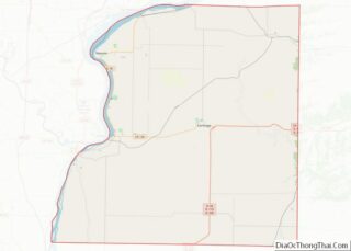
| County: | Hancock County |
| Elevation: | 659 ft (201 m) |
| Total Area: | 7.47 sq mi (19.34 km²) |
| Land Area: | 6.52 sq mi (16.89 km²) |
| Water Area: | 0.95 sq mi (2.46 km²) |
| Total Population: | 1,510 |
| Population Density: | 231.60/sq mi (89.42/km²) |
| Area code: | 217 |
| FIPS code: | 1778942 |
| GNISfeature ID: | 2397200 |
| Website: | warsawillinois.org |
Online Interactive Map
Click on ![]() to view map in "full screen" mode.
to view map in "full screen" mode.
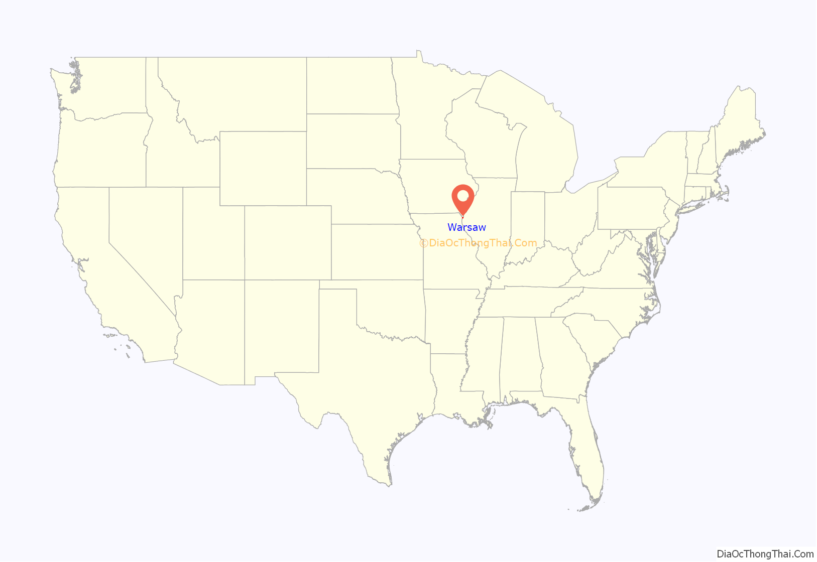
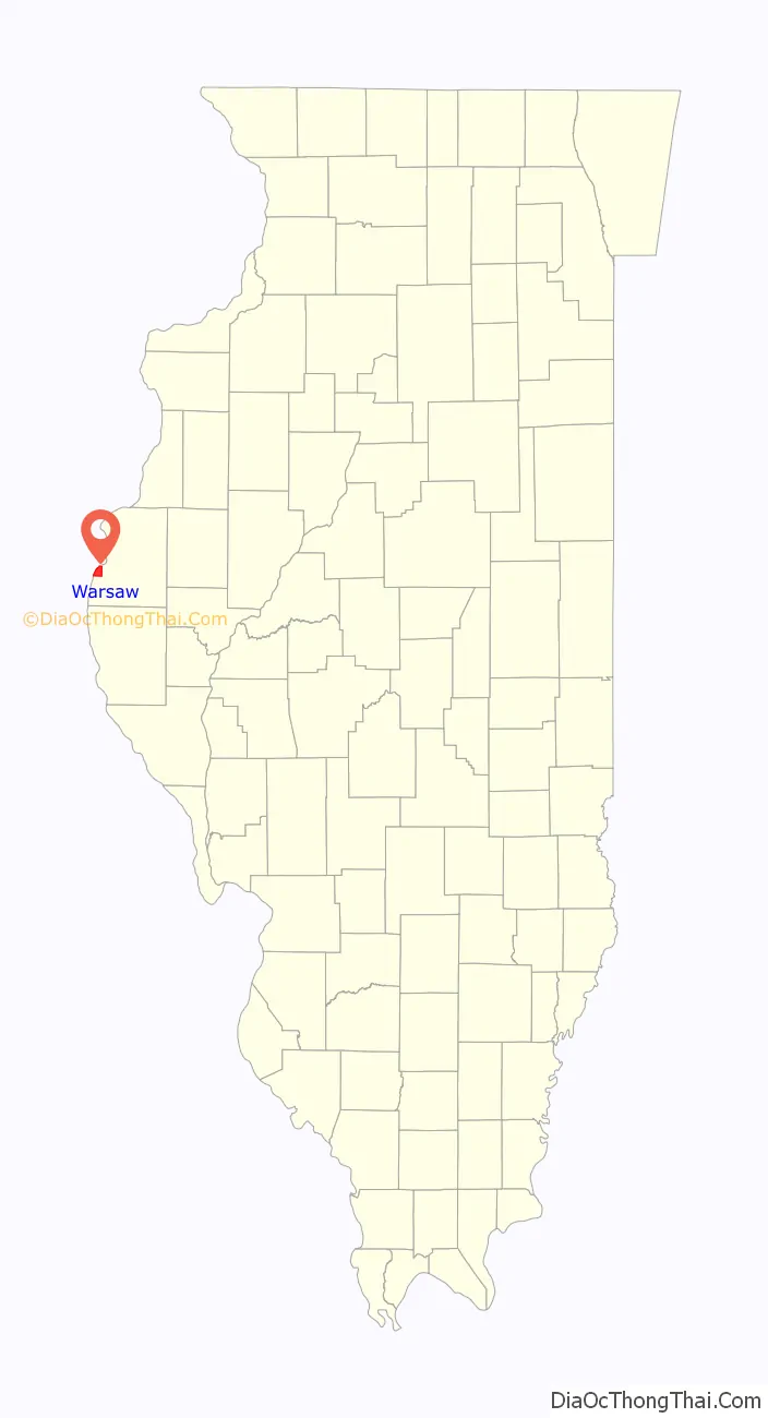
Warsaw location map. Where is Warsaw city?
History
The city of Warsaw began in 1814, when young Major Zachary Taylor founded Fort Johnson on the eastern bank of the Mississippi River across from the mouth of the Des Moines River. Fort Johnson was occupied only for a few weeks before it was burned. In 1815 another military camp, Fort Edwards, was built nearby at a different location. Warsaw became an important fur trading post and one of the earliest American settlements in northern Illinois.
During the 1840s, Warsaw was a center of opposition to Mormon settlement in Nauvoo and other areas in Hancock County during the conflict sometimes known as the “Mormon Illinois War”. The local newspaper at the time, the Warsaw Signal edited by Thomas C. Sharp, was a vocal opponent of Mormon settlement and practices in western Illinois. The Mormons, led by Willard Richards, attempted to establish a settlement at a site just south of Warsaw during this period, but abandoned these plans due to local opposition and other problems.
The city is notable for its well-preserved downtown with a number of remaining historic businesses. Founded by German immigrants, the Warsaw Brewery opened in 1861 and operated for more than 100 years, ending production in 1971. The facility was renovated and reopened in 2006 as a bar and restaurant.
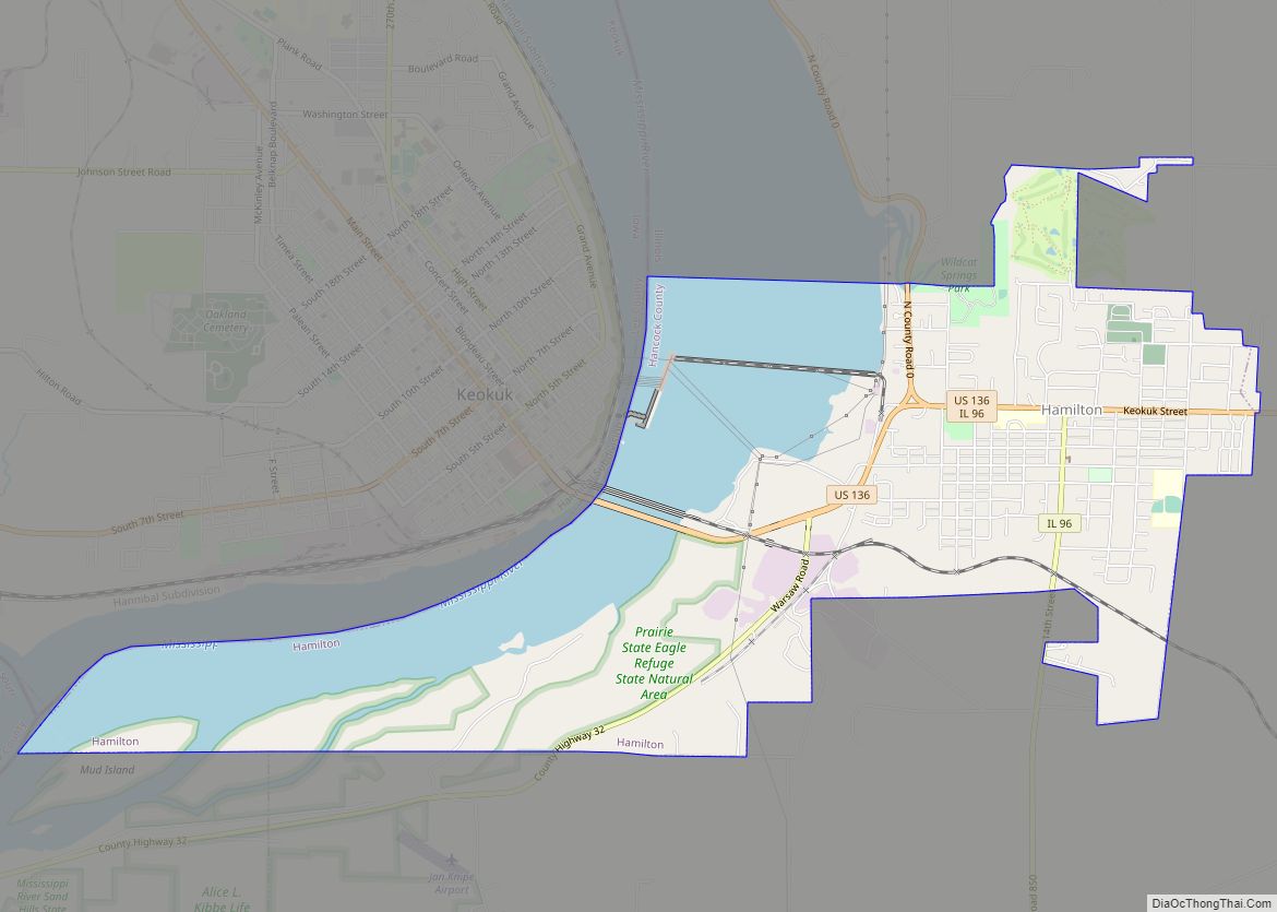
Warsaw Road Map

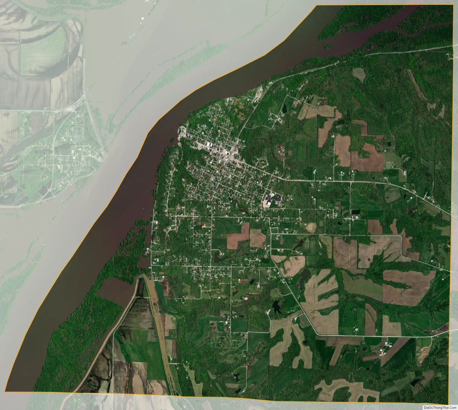
Warsaw city Satellite Map
Geography
Warsaw is located in southwestern Hancock County. It is bordered to the west and northwest by the Mississippi River, which forms the state border with Missouri. The community of Alexandria, Missouri lies due west across the Mississippi, Keokuk, Iowa lies 3.5 miles to the northeast and the city of Hamilton lies approximately six miles to the east-northeast.
According to the 2010 census, Warsaw has a total area of 7.469 square miles (19.34 km), of which 6.52 square miles (16.89 km) (or 87.29%) is land and 0.949 square miles (2.46 km) (or 12.71%) is water.
See also
Map of Illinois State and its subdivision:- Adams
- Alexander
- Bond
- Boone
- Brown
- Bureau
- Calhoun
- Carroll
- Cass
- Champaign
- Christian
- Clark
- Clay
- Clinton
- Coles
- Cook
- Crawford
- Cumberland
- De Kalb
- De Witt
- Douglas
- Dupage
- Edgar
- Edwards
- Effingham
- Fayette
- Ford
- Franklin
- Fulton
- Gallatin
- Greene
- Grundy
- Hamilton
- Hancock
- Hardin
- Henderson
- Henry
- Iroquois
- Jackson
- Jasper
- Jefferson
- Jersey
- Jo Daviess
- Johnson
- Kane
- Kankakee
- Kendall
- Knox
- La Salle
- Lake
- Lake Michigan
- Lawrence
- Lee
- Livingston
- Logan
- Macon
- Macoupin
- Madison
- Marion
- Marshall
- Mason
- Massac
- McDonough
- McHenry
- McLean
- Menard
- Mercer
- Monroe
- Montgomery
- Morgan
- Moultrie
- Ogle
- Peoria
- Perry
- Piatt
- Pike
- Pope
- Pulaski
- Putnam
- Randolph
- Richland
- Rock Island
- Saint Clair
- Saline
- Sangamon
- Schuyler
- Scott
- Shelby
- Stark
- Stephenson
- Tazewell
- Union
- Vermilion
- Wabash
- Warren
- Washington
- Wayne
- White
- Whiteside
- Will
- Williamson
- Winnebago
- Woodford
- Alabama
- Alaska
- Arizona
- Arkansas
- California
- Colorado
- Connecticut
- Delaware
- District of Columbia
- Florida
- Georgia
- Hawaii
- Idaho
- Illinois
- Indiana
- Iowa
- Kansas
- Kentucky
- Louisiana
- Maine
- Maryland
- Massachusetts
- Michigan
- Minnesota
- Mississippi
- Missouri
- Montana
- Nebraska
- Nevada
- New Hampshire
- New Jersey
- New Mexico
- New York
- North Carolina
- North Dakota
- Ohio
- Oklahoma
- Oregon
- Pennsylvania
- Rhode Island
- South Carolina
- South Dakota
- Tennessee
- Texas
- Utah
- Vermont
- Virginia
- Washington
- West Virginia
- Wisconsin
- Wyoming